We thought that while we were in San Francisco we would spend tons of time playing tourist and sightseeing, but we really didn’t. We have a lot of friends and family that live up there, so most of our free time was devoted to eating out at fabulous restaurants with beloved people we rarely get to see.
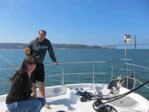
One of the fun tourist activities we did was to take Kosmos overnight to Angel Island State Park, located about a mile south of Tiburon, near the Golden Gate Bridge. We chose an unusually clear and warm day to go over there. Here is a shot of our nephew and his girlfriend on the bow of Kosmos with the Golden Gate Bridge in the background.
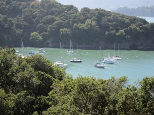
Here is Kosmos moored in Ayala Cove, on the north side of the island. The moorings were different than any others we’ve seen before and were difficult to tie onto. Fortunately, the kind gentleman next to us hopped into his dinghy and helped us get tied up. The park requires boats to tie both front and back to the moorings, so it would have been double tough without his help! The fee to stay on the moorings was about $30 per night.
We took a bus tour of the island, where there was a fascinating narration on the history. Over the years, it has been used for an assortment of purposes. When the bay was originally “discovered” by the Spaniards in 1769, the island was inhabited by Native Americans, who had probably resided there for 3,000 years. As San Francisco grew and more whalers and trade ships pulled in, the timber on the island was stripped. After Mexico became an independent nation, in 1839 the Mexican governor granted the island to a private citizen who used it as a livestock ranch.
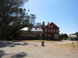
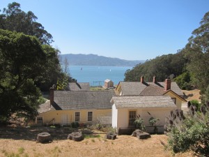
After the US government took control of the area, in 1850 the US courts gave the land to the American military. Angel Island was part of the “Bay Area Defense System” for one hundred years. Camp Reynolds was opened on the west side of the island and became a recruiting and processing depot, but it wasn’t well maintained. Here are a couple shots of the few remaining buildings from Camp Reynolds:
Fort McDowell was built on the southeast side of the island in 1900 to replace the crumbling Camp Reynolds.
From 1892 – 1946, Ayala Cove (north side) was used as a hospital cove. Incoming ships stopped here before entering the Port of San Francisco, where they underwent fumigation. Passengers suspected of being ill were quarantined on the island until it was clear they were healthy. Thanks to better sanitation and medical care in the early twentieth century, the need for a quarantine port waned and it was closed. Here are a couple shots of restored buildings from the quarantine camp:
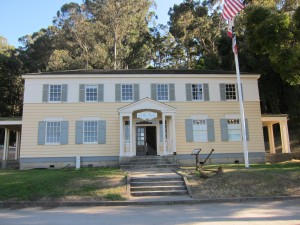
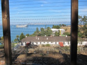
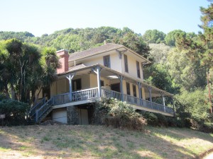 In 1910, the government also opened an immigration station on the northeast side of the island. It kind of sounds like it was something of an internment camp, where immigrants of Asian original were essentially imprisoned for weeks, months, or even years before being allowed into the US. Here is a photo, though sadly, the buildings are obscured by the heavy fence that surrounds the camp.
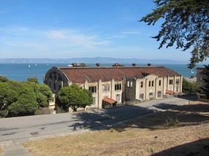
The immigration station closed during World War II because Fort McDowell was expanded to cover the entire island (except the quarantine area, apparently). We can’t remember if this photo was of Fort McDowell or the Immigration Station, but since it is a cool old building, we’re posting it anyway.
After the last of the troops came home from the war in 1946, Fort McDowell closed. In 1954, another base was opened on the south side, this one housing missiles for the cold war. The base closed in 1962 and the island became a state park. It looks like there are also currently a couple small coast guard stations on the island, as well.
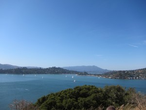
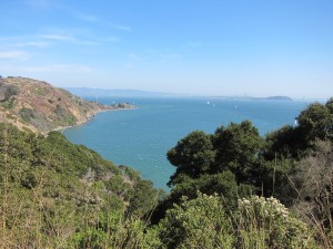
As you can see from the photos above, there are some incredible views of the Bay Area from the island. Here is a shot looking north of what we think is Belvedere Cove, with Belvedere on the left and Tiburon (one of the highest dollar neighborhoods in the country) on the right.
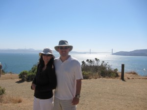
 Here are Eric and Christi looking west with the Golden Gate Bridge behind them
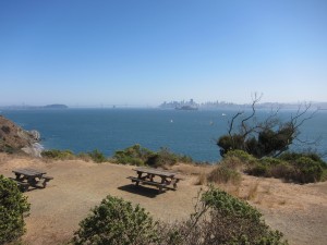
 Looking south at downtown San Francisco and the Bay Bridge
 This is part 5 of an 11 part series on our time in San Francisco. Read part 4 here and part 6 here.

Didn’t you mean to say “. . . . 1769,” instead of “When the bay was originally “discovered” by the Spaniards in 1869,”?
http://www.answers.com/topic/san-francisco-bay#History
Yes. The date is corrected now! Thank you so much for catching it!