We left San Diego on Saturday, July 22 and made the 7.5 hour drive northeast to an AirBnB in Raymond, CA. We met up with our friends, Greg and Heath, there.
On Sunday, we were up at dawn and out the door by 0700. We skipped breakfast, deciding to eat in the park. It took about an hour to get from the AirBnB to the south entrance (on route 41) of Yosemite National Park. We had to waiting in line a little over a half hour, and we were inside the park by 0830.
Our first stop was Mariposa Grove, where there was a cluster of redwood trees (AKA Sequoia trees). The parking lot for Mariposa Grove was just beyond the park entrance. From the parking lot, a shuttle bus took visitors up to the hiking trails around the redwood trees. The trail we chose had a noticeable incline, but the trail was graded well, so it wasn’t particularly steep.
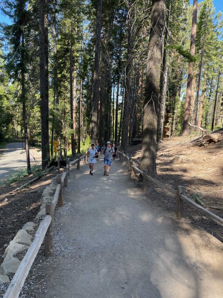
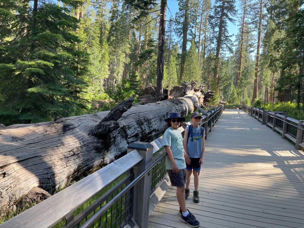
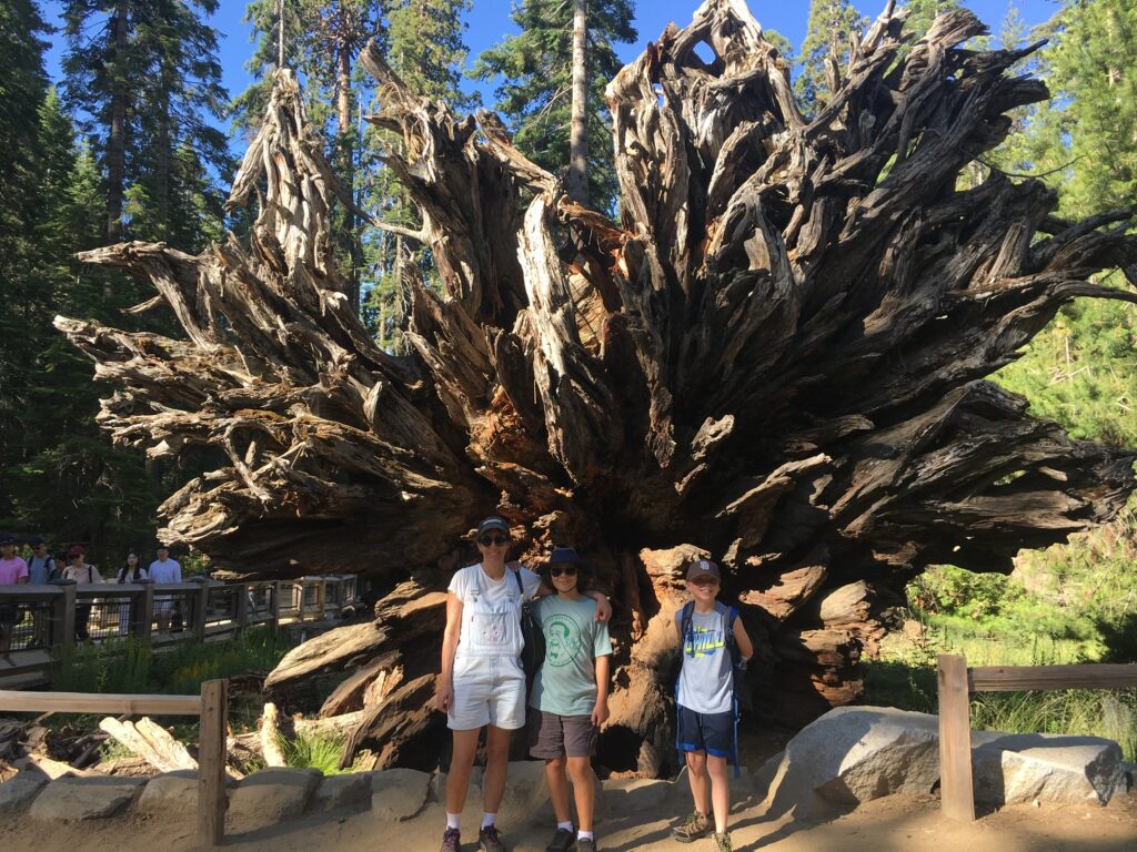
While the redwoods in the Santa Cruz mountains are taller and the redwoods in Sequoia national park are wider, the redwood trees in Yosemite are none-the-less stunning both in terms of height and breadth. There were a few famous trees on the trail. The first one we passed was Fallen Monarch, which had already fallen when the Native Americans settled the land and has yet to decompose.
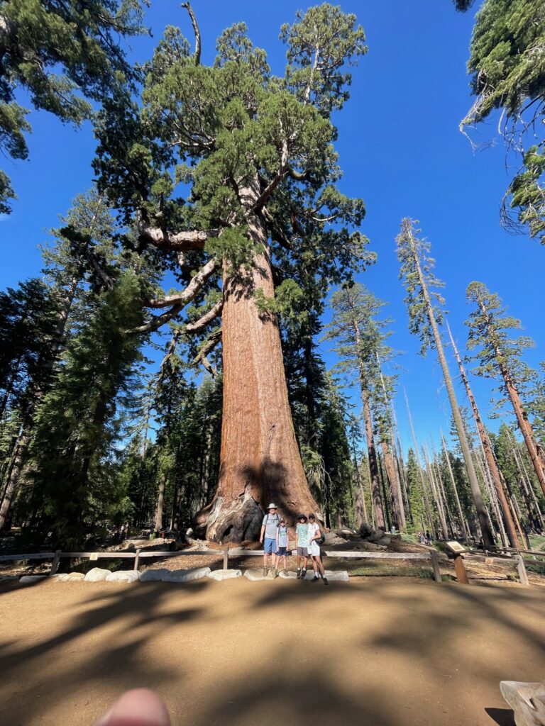
The next one was The Grizzly Giant, which is estimated to be 1790 years old. It was one of the spots where then-President Theodore Roosevelt camped on his legendary camping trip in which Roosevelt decided to create the National Parks Service. That one decision forever changed the course of America’s – and possibly even the world’s – future (and we would argue for the better).
The last one was The Tunnel Tree. The tunnel was cut in 1895 so that coaches could pass through it. It is the last living sequoia with a tunnel cut into it.
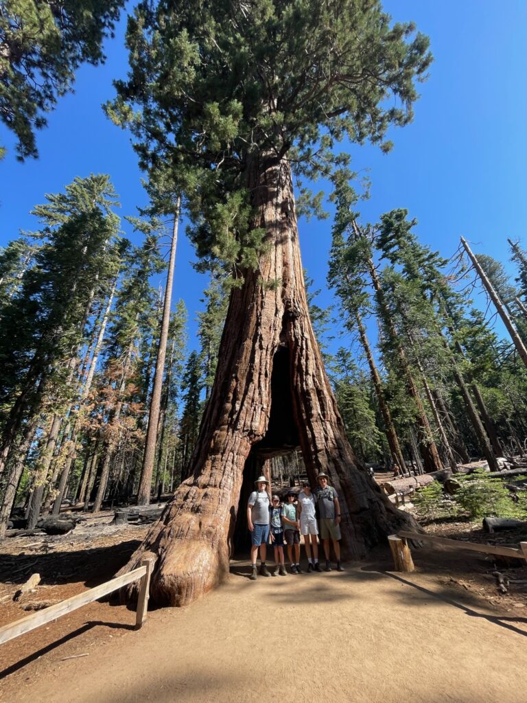
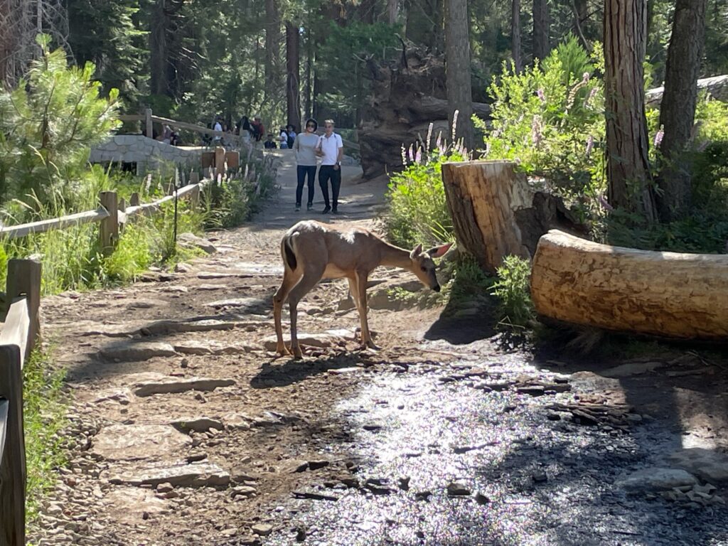
If we had continued on the loop trail, it would have been another 1.3 miles back to the shuttle stop, so we decided to turn around and go back the way we came, which was .8 miles. We saw a family of deer on the way back.
We hopped back in our vehicles and drove to the nearby Wawona Hotel for breakfast.
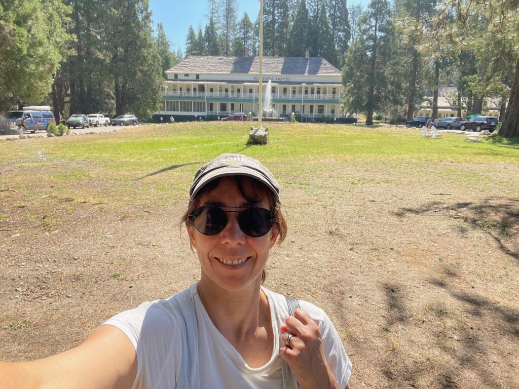
The Wawona was beautiful — an elegant Victorian-style established in 1856.
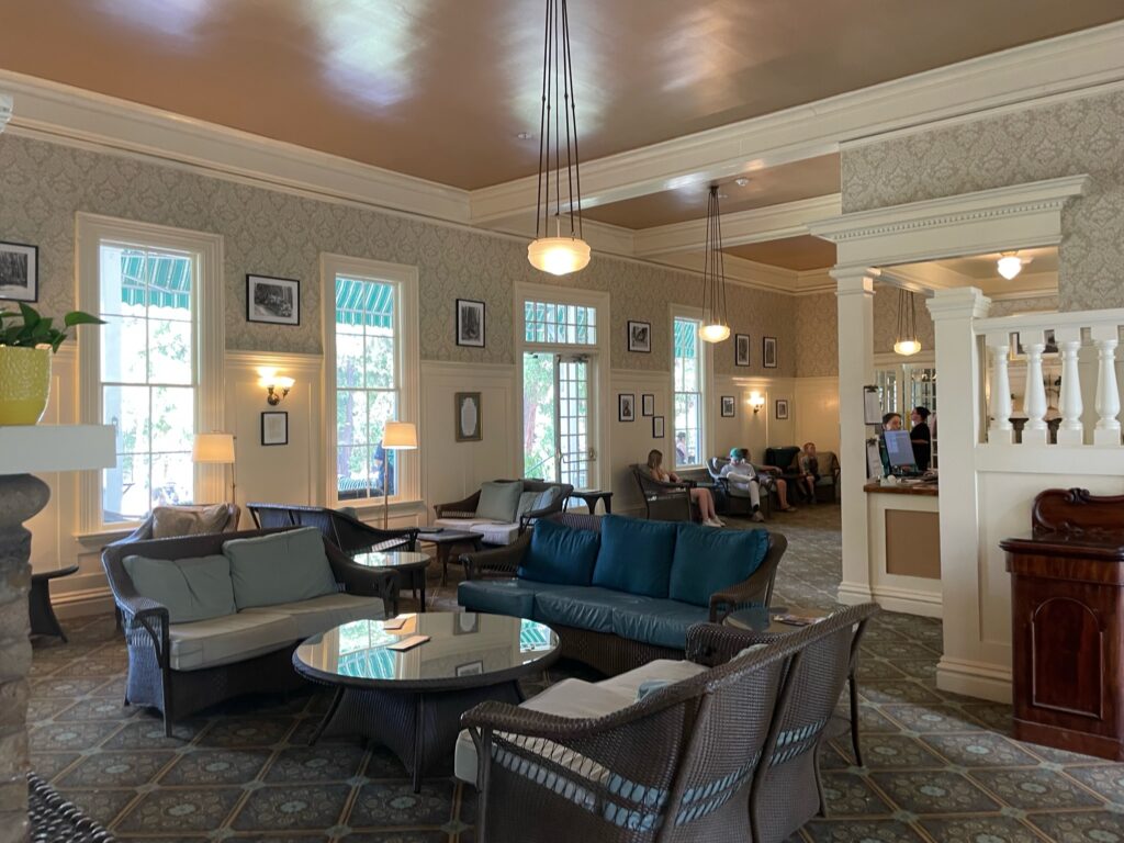
We’d arrived shortly after 10:00. We were disappointed to find that breakfast ended at 10:00, and the restaurant closed for an hour between breakfast and lunch. With 45-minutes to kill until the restaurant re-opened, we wandered around the area on foot. Our first stop at the visitor’s center, directly next-door to the hotel, to sign up for the lottery to hike to the top of half-dome.
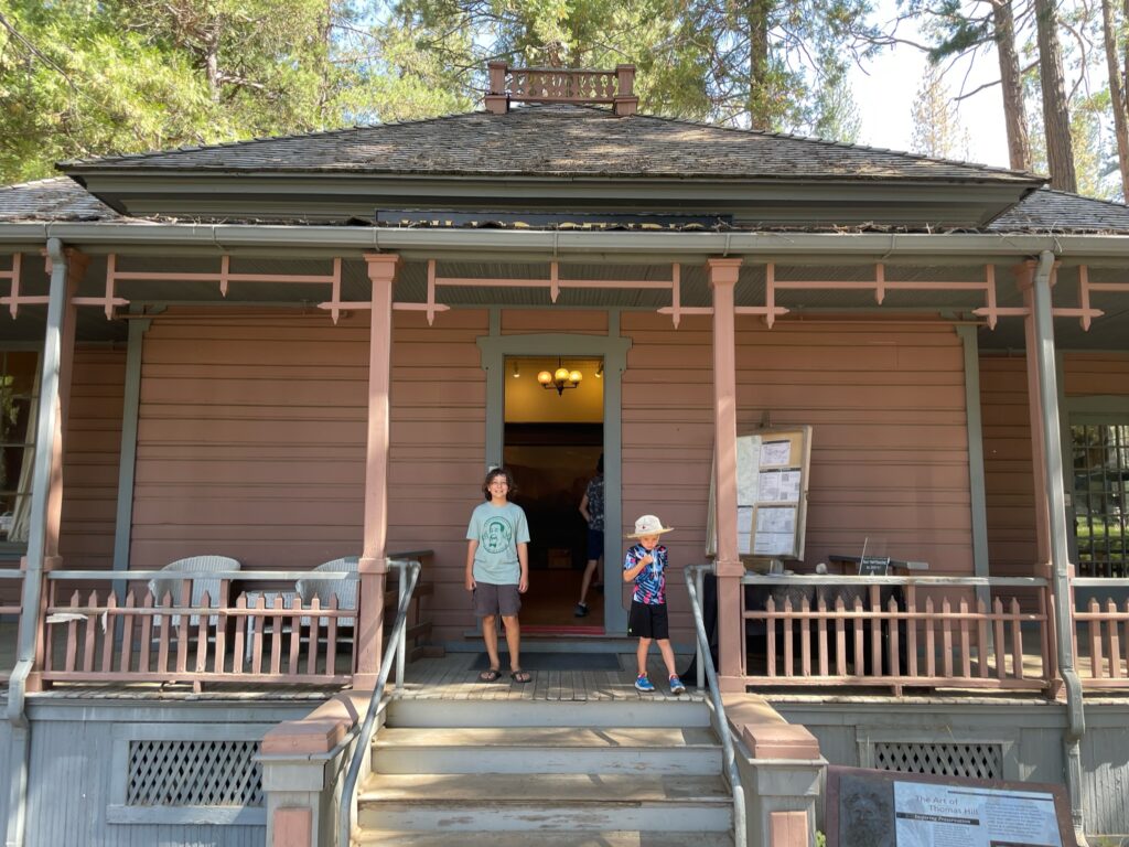
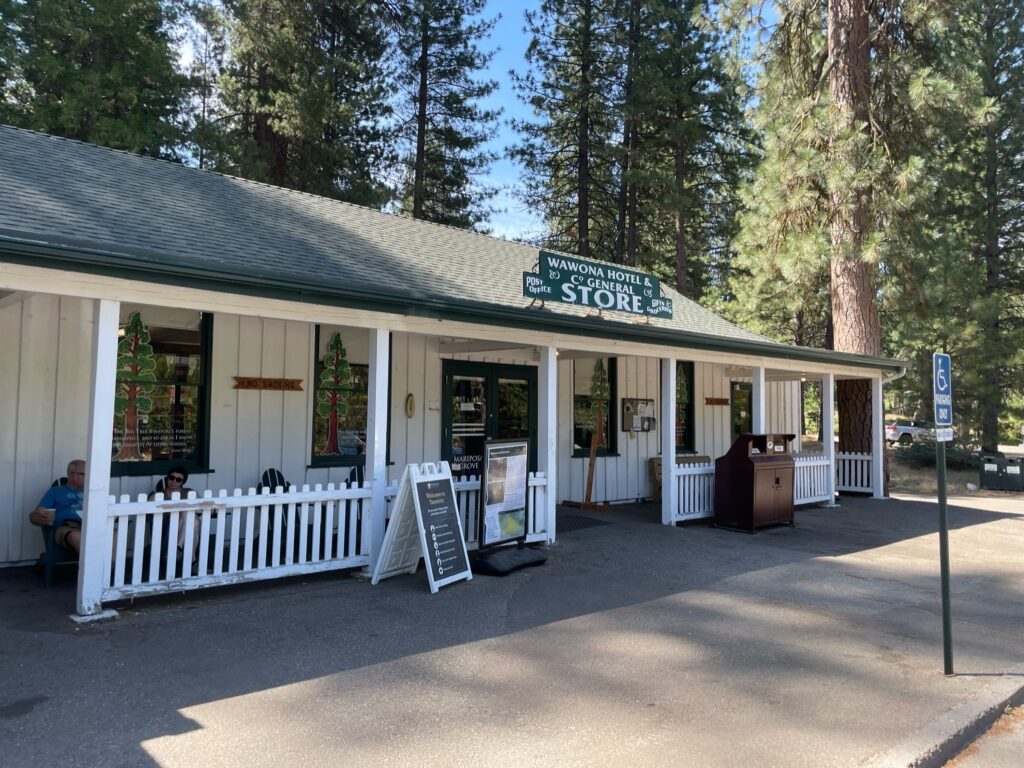
The ranger told us that the registration was online only, and that we had to sign up at least 2-days in advance, so Tuesday was the first day that we could participate in the lottery. Signing up online was challenging since there was no cell-phone connection. We wandered over to the Wawona General Store and post office.
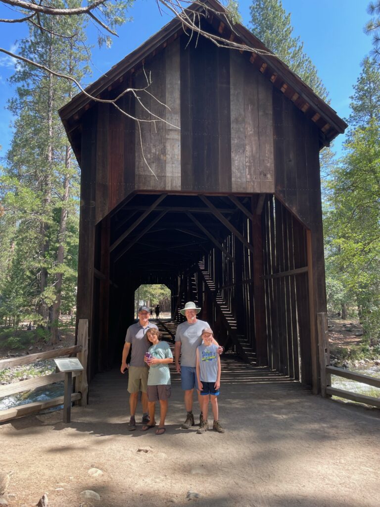
Then we crossed a covered bridge, built in 1868, into a ghost town called Pioneer.
The cluster of buildings were all built in the second half of the 19th century, before Roosevelt had made the land a national park. The signs hinted that, while these were the original settler’s structures, the structures had been moved here from their original locations.
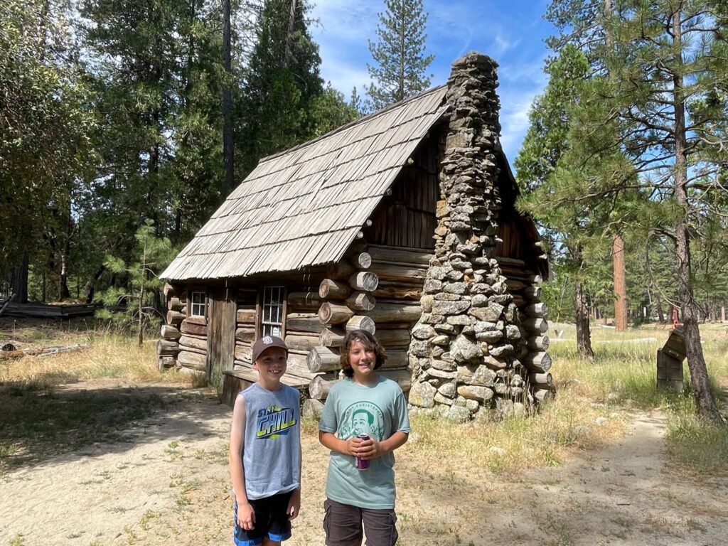
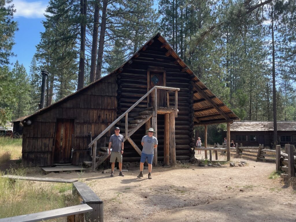
Some of the buildings in Pioneer were still in use. There were horses in the stable, and Greg said he’d seen horse drawn carriage rides in the past. Greg also said he’d seen people working in the blacksmith shop in the past.
We returned to Wawona Hotel at 10:50 am, where we were told that they wouldn’t be opening the restaurant for another hour. They did give Eric the wifi password so he could sign up for the lottery. It cost $10 to enter the lottery.
We were too hungry to wait any longer, so we opted for a picnic at the nearby tables with the camping food we’d brought. After lunch, we drove about 30-miles down to Yosemite Valley. The majority of the drive was a typical mountainous pine forest. Then we drove through the famous Wawona Tunnel, a 0.8 long tunnel dynamited through the granite mountain. Construction was from 1930 – 1933, and it is still the longest highway tunnel in California. When we emerged from the tunnel, the view was stunning. We pulled over at the Tunnel Viewpoint for a quick photo of El Capitan, Half-Dome, Yosemite Valley and Bridalveil waterfall. Thanks to record levels of snowfall last winter, the waterfalls are the fuller and more majestic than they’ve been in decades.
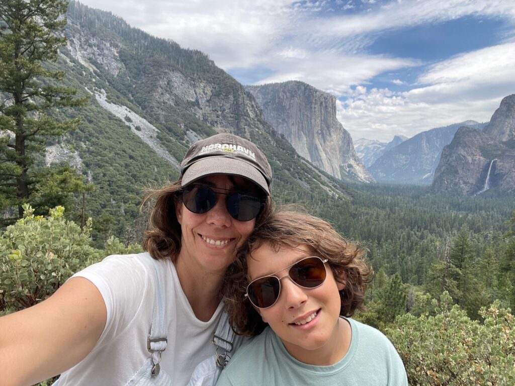
The drive through the valley was gorgeous. The road paralleled a river, there were pretty meadows, and we were surrounded by dramatic cliffs and vibrant waterfalls.
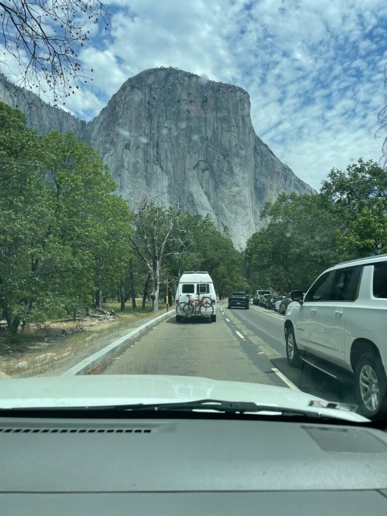
We wanted to stop at Bridalveil Waterfall, but the parking lot was closed and all the parking along the road seemed to be taken. Here was a shot from the car.
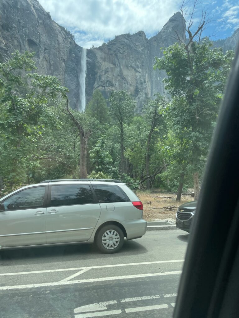
We also skipped Yosemite Falls because the parking lot was full, with no street parking. Here was a shot taken from the car.
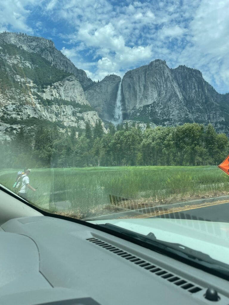
We pulled into the North Pines campground at around 12:50 and set up our tents at our campsite. The restrooms were surprisingly clean and well-maintained, but they only had toilets and sinks. The cell-service was weak – there was one bar that went in and out. The campground was situated between the river and a creek. The river has a lovely view of Yosemite Falls. The water was cold, but Greg and the boys went in for a swim.
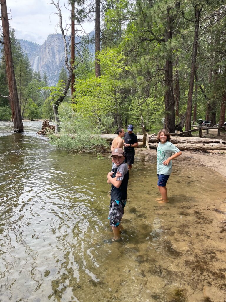
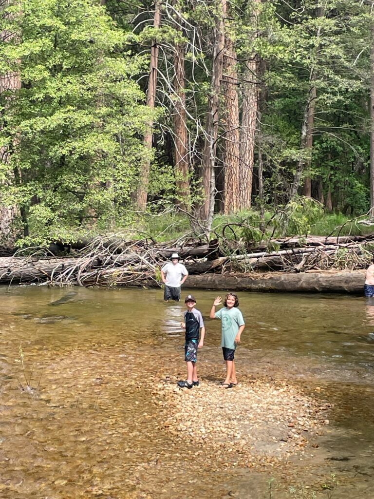
After the river, we went over to the creek, and the males played in the shallow water for a while.
After dinner, we walked the half-mile to Curry Village to see what was there. There was a small grocery/souvenir store, a sporting goods store, a handful of restaurants and a bike rental shop. There was a swimming pool, but it was currently closed. Fortunately, the pool-house was still open, which was where campers need to go to shower. We had no cell reception in the village. Our theory was that, since there were so many people in the park right now, the network overloaded.
In the evening, Eric got an email letting him know that he had not been chosen in the lottery. We were happy that our neighbors in the campground were quiet. We went to bed early, and it seemed everyone else did, too.
