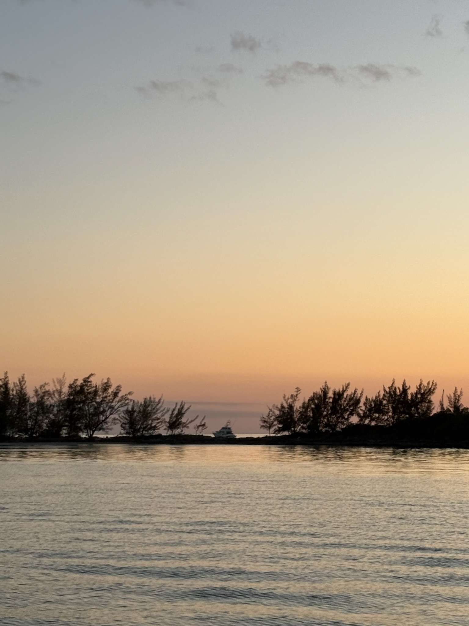
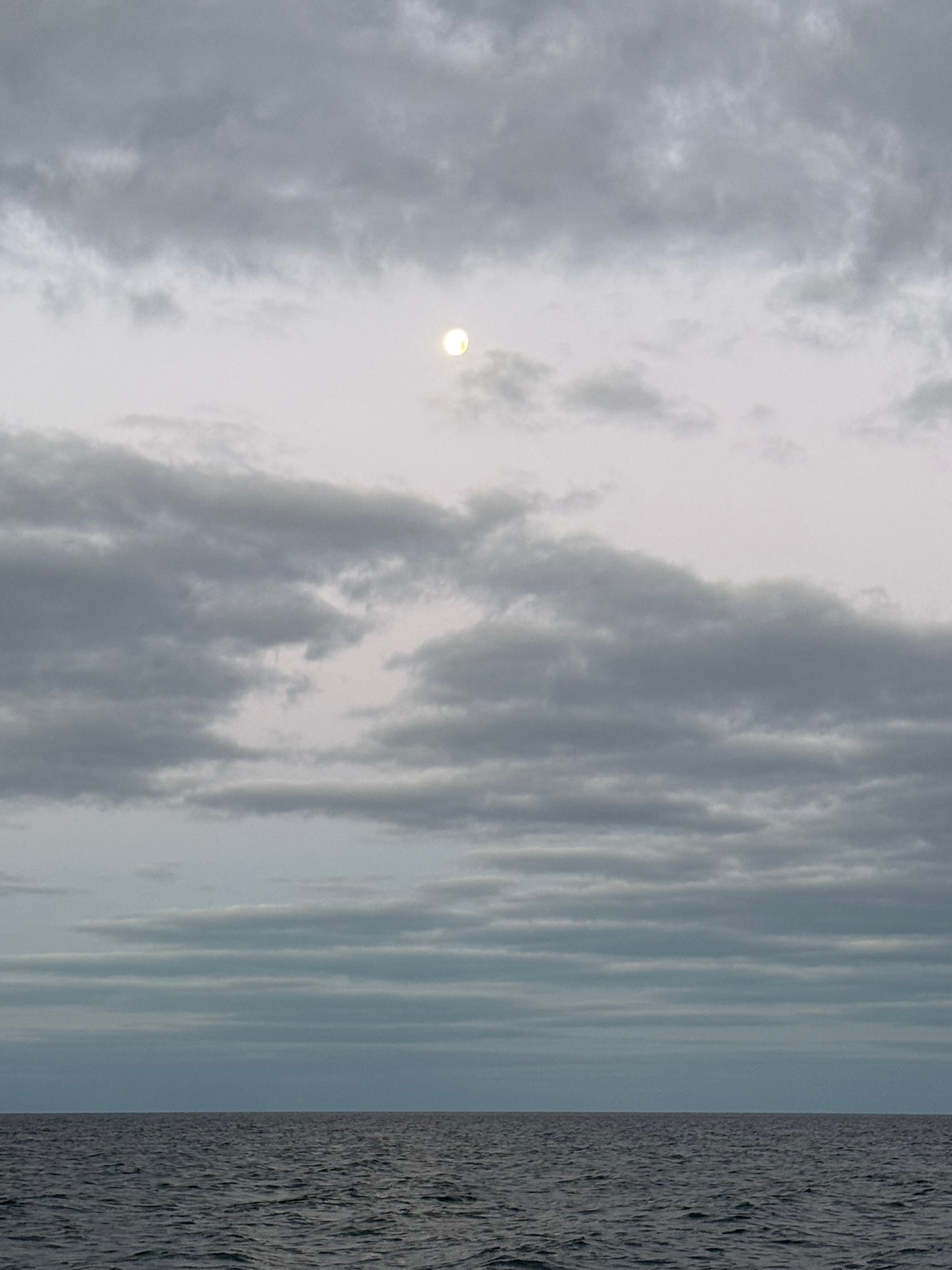
On Tuesday, April 15, we got up at 0545 to do the last minute things to get ready to go. We pulled up anchor at 0620. The sunrise was completely blocked by the thick cloud cover, but the moon did peek out between the clouds at one point.
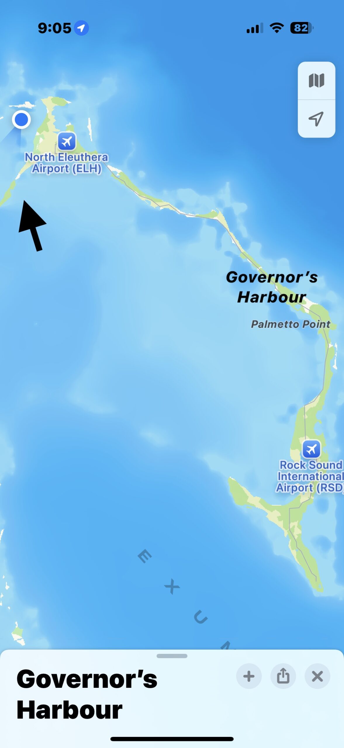
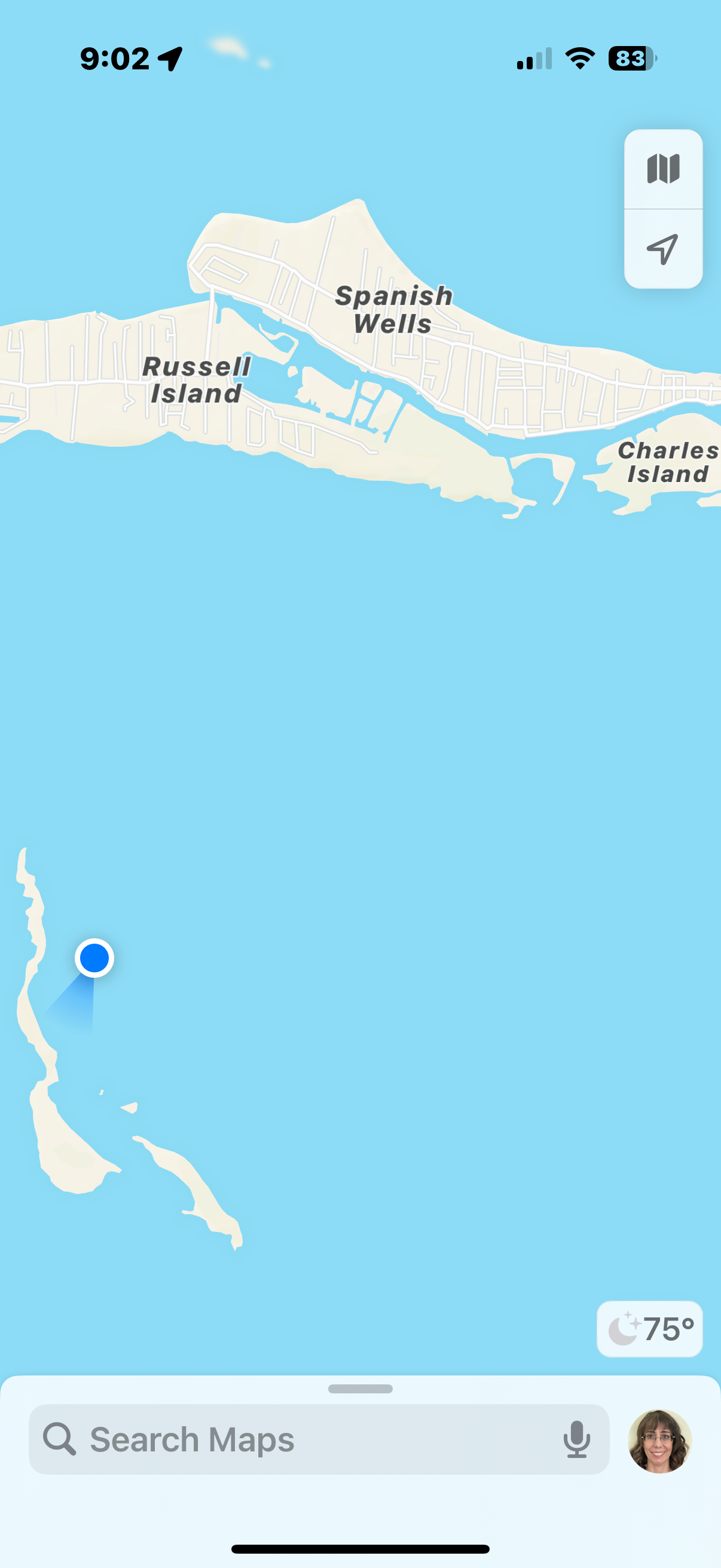
In the map below, where we left from, Governor’s Harbour, is marked to the right. Our final destination was the dot up at top left corner. The arrow points to The Cut, the narrow channel that we needed to pass through at higher tide.
Since we were in protected waters, it was a calm ride. We approached The Cut at about 1100. While The Cut itself was fairly deep, the channel leading up to it was only eight feet deep at high tide and quite narrow, necessitating that we go through the channel single file. Outside the channel, it was only 3 – 4 feet deep, so we had to keep a sharp eye on the charts to make sure we were staying in the channel or else we’d be grounded. There were four boats on our side (going east to west) that were all approaching the channel. We coordinated over the radio the order that we would line up in. We were third.
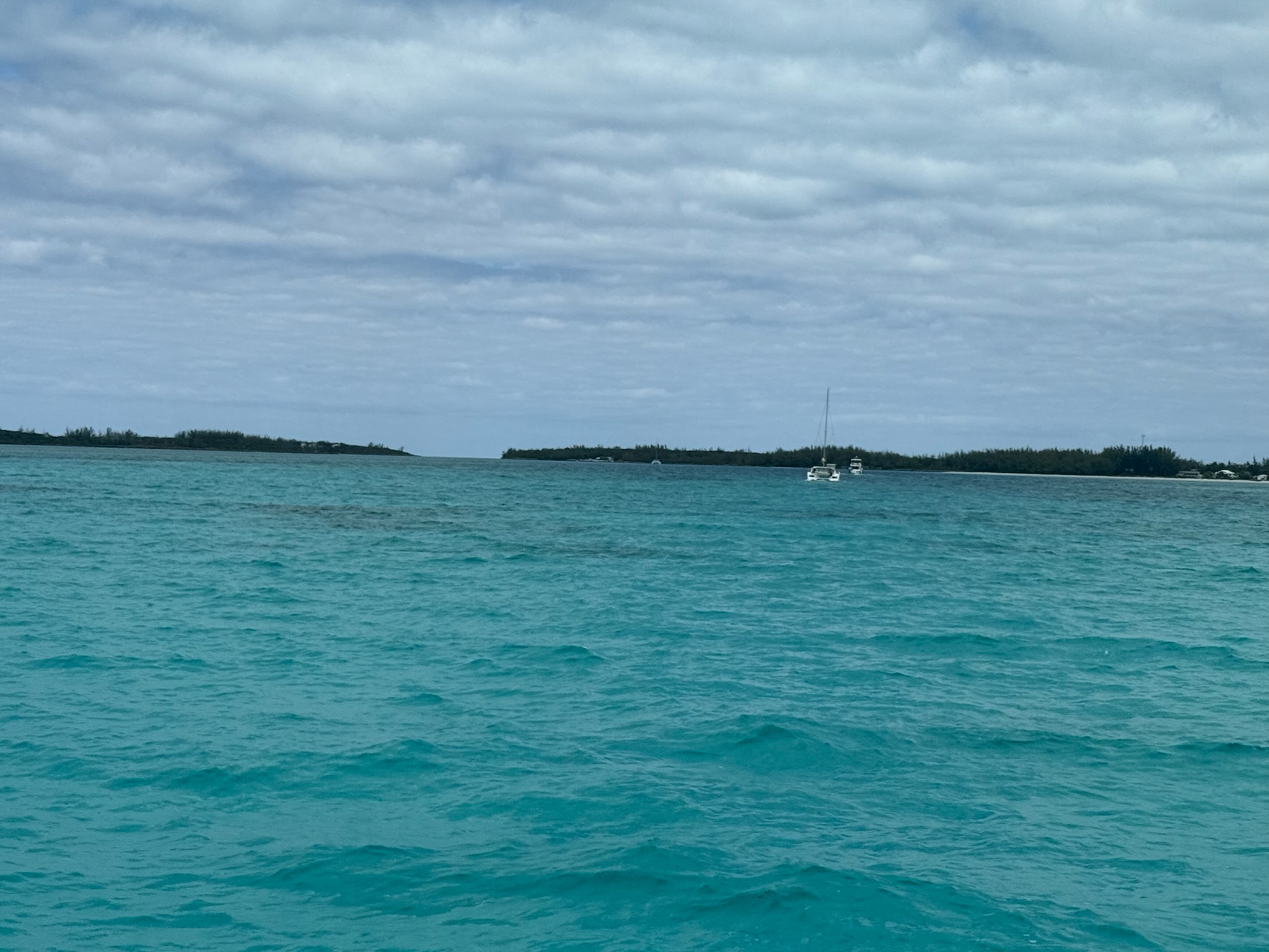
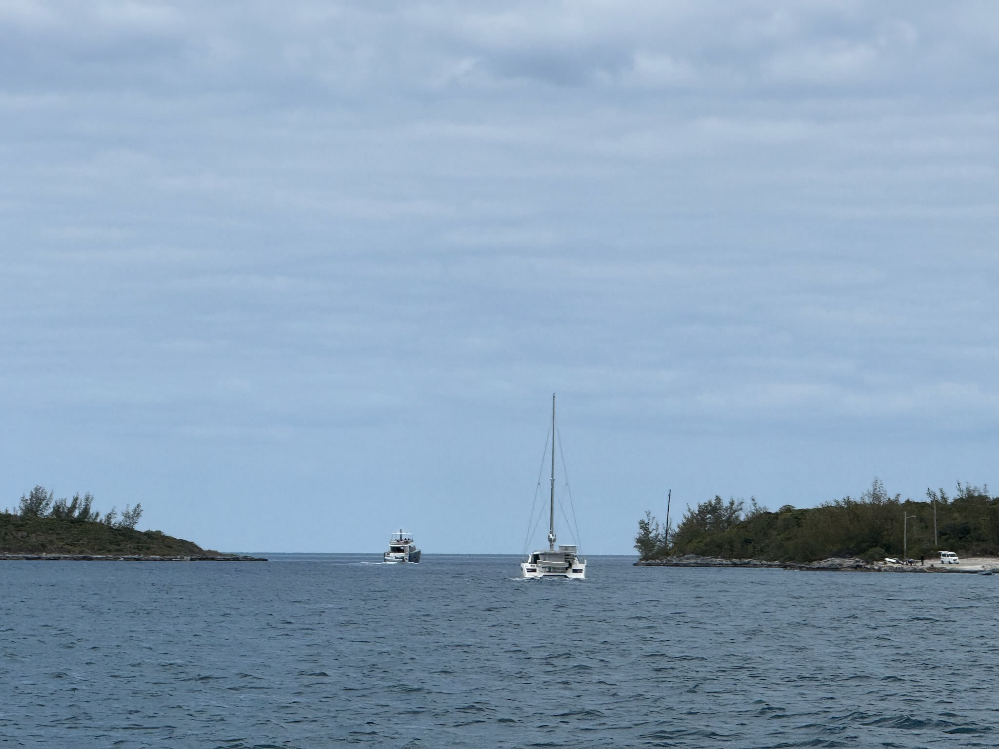
Meanwhile, there were also three boats on the other side that were coming through the cut west to east. The boats on our side all slowed down and waited for them to come through. Once the third boat passed, the lead boat in our line approached The Cut. This photo shows the two boats ahead of us on the right that were approaching The Cut, and the cat on the left had just come through The Cut and was moving towards us.
Here was a zoomed in shot of the two boats ahead of us going through.
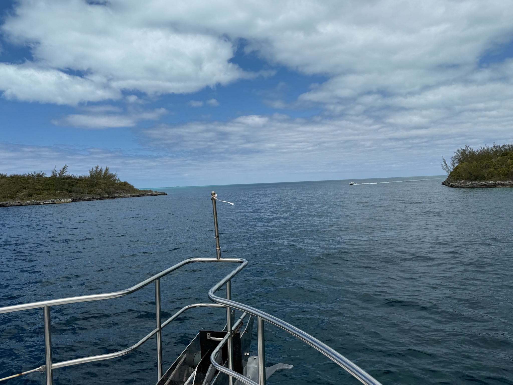
When it was our turn, we had two different small, fast flat bottomed power boats zoom by us, one going each direction. They made big wakes.
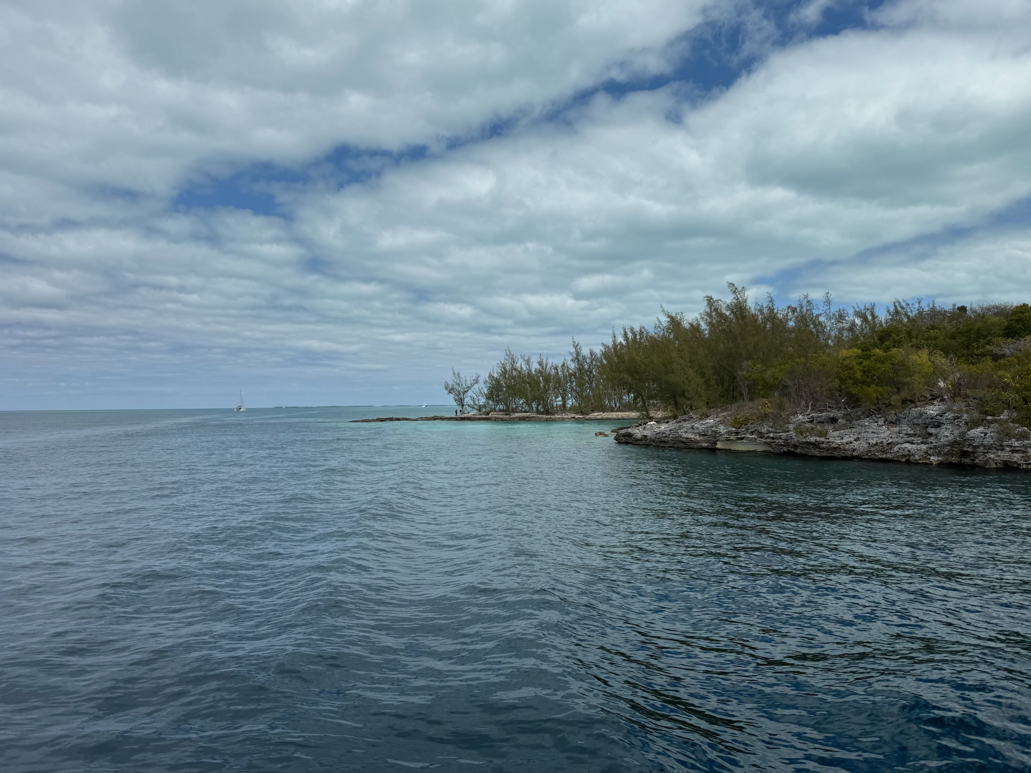
At the end of The Cut, looking north
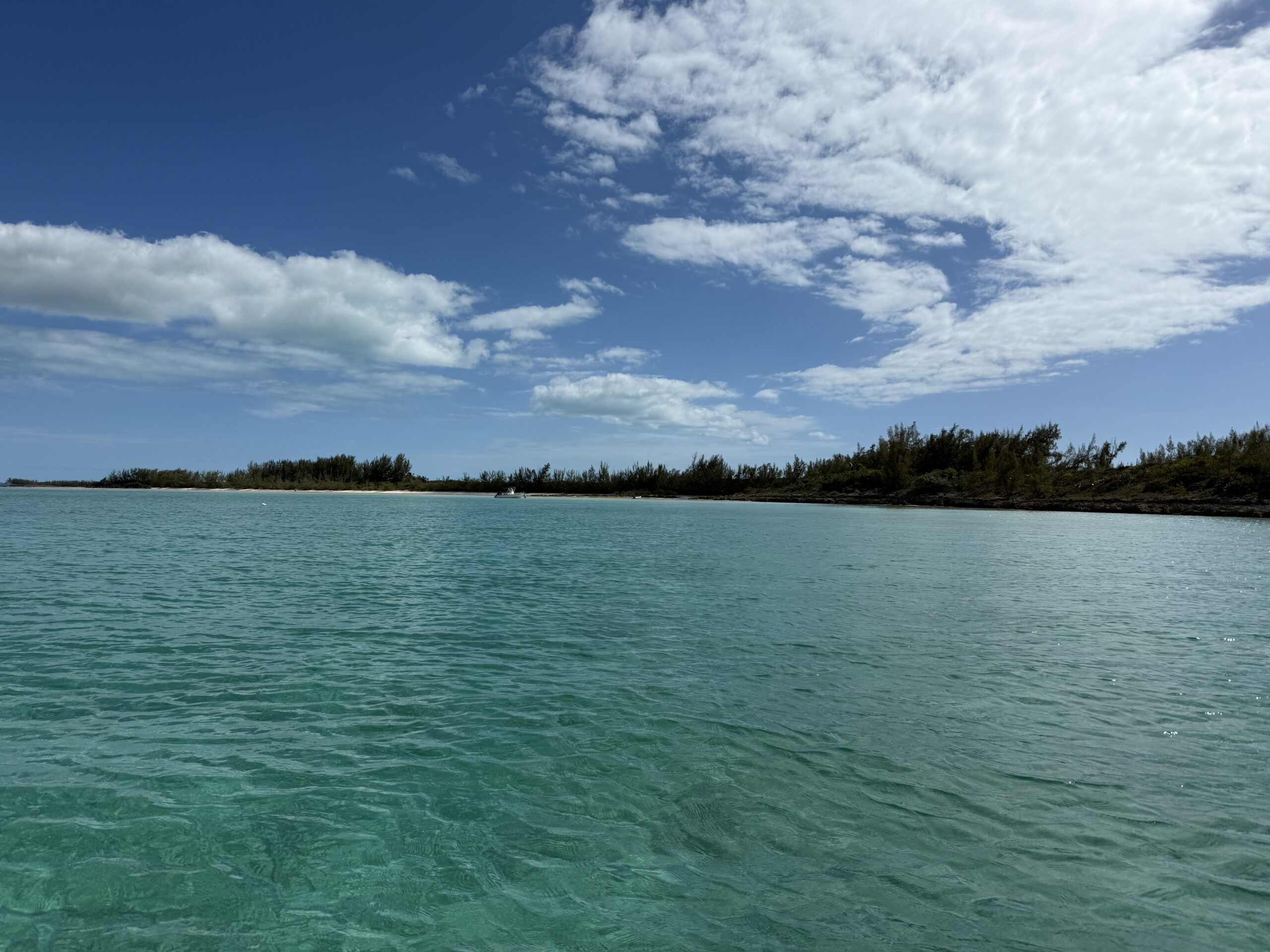
We approached our destination, Meeks Island, at about 1:00 pm.
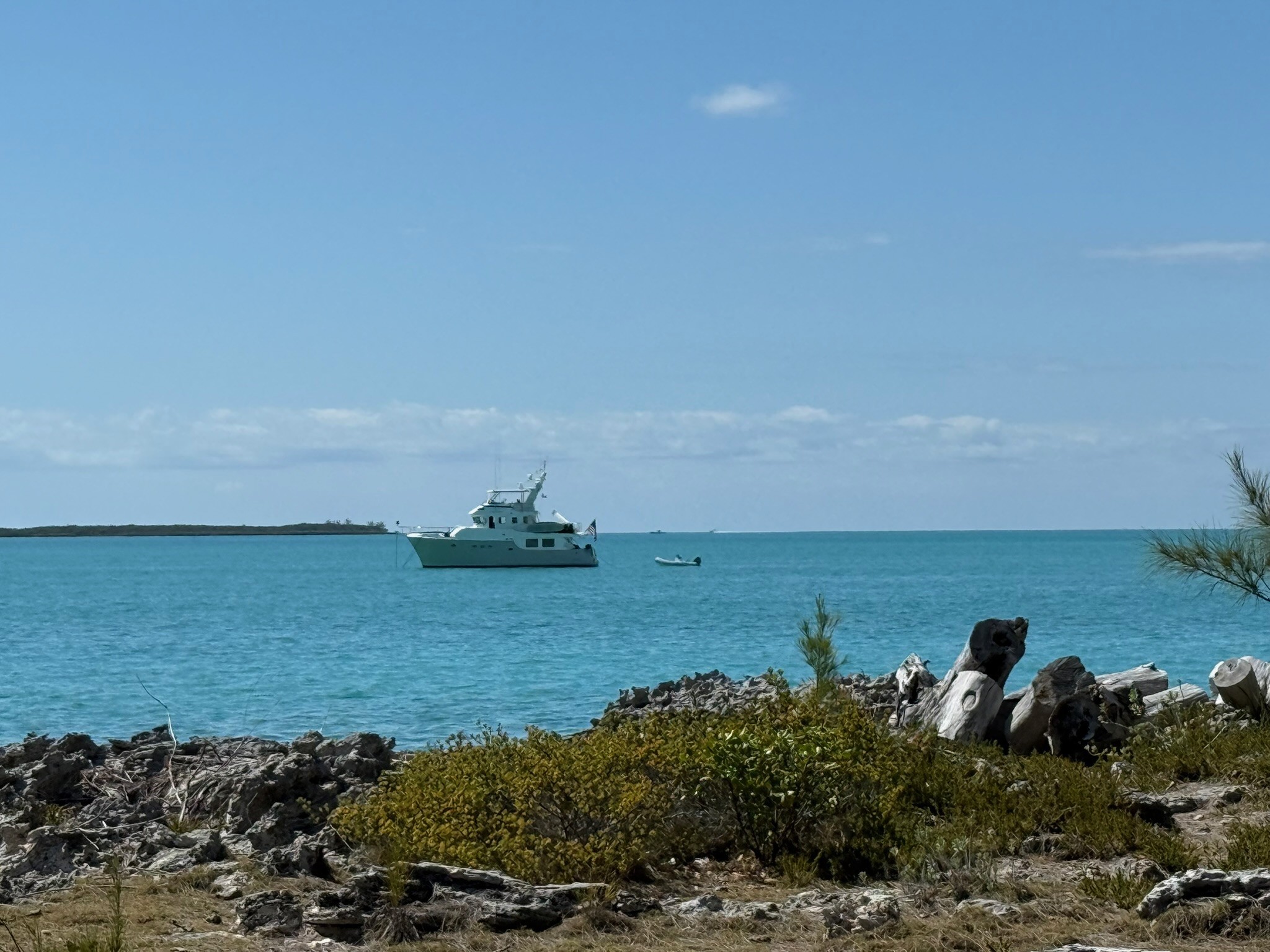
As we approached, we saw there was a Nordhavn 55 anchored on the west side of the island. We anchored on the east side. The Nordhavn that had been transiting anchored near us on the east side. One of our friends from Rock Sound was already anchored on the east side, and the other two arrived not too long after we did. This was looking west at Meeks Island.
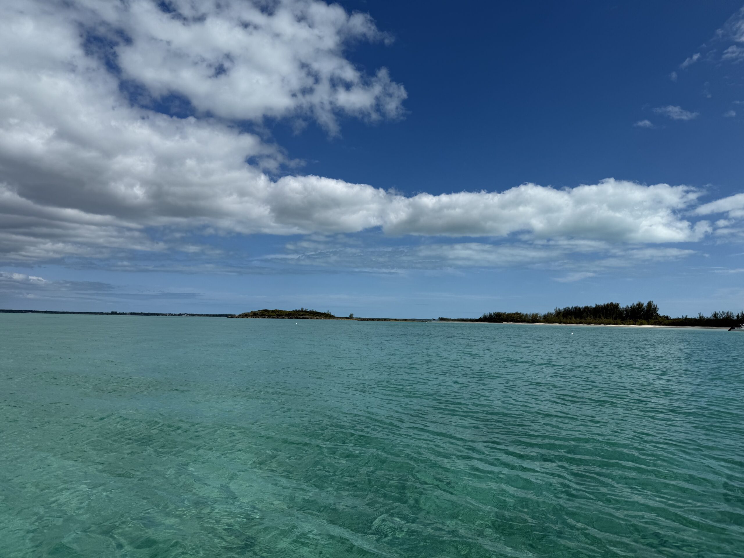
And looking south
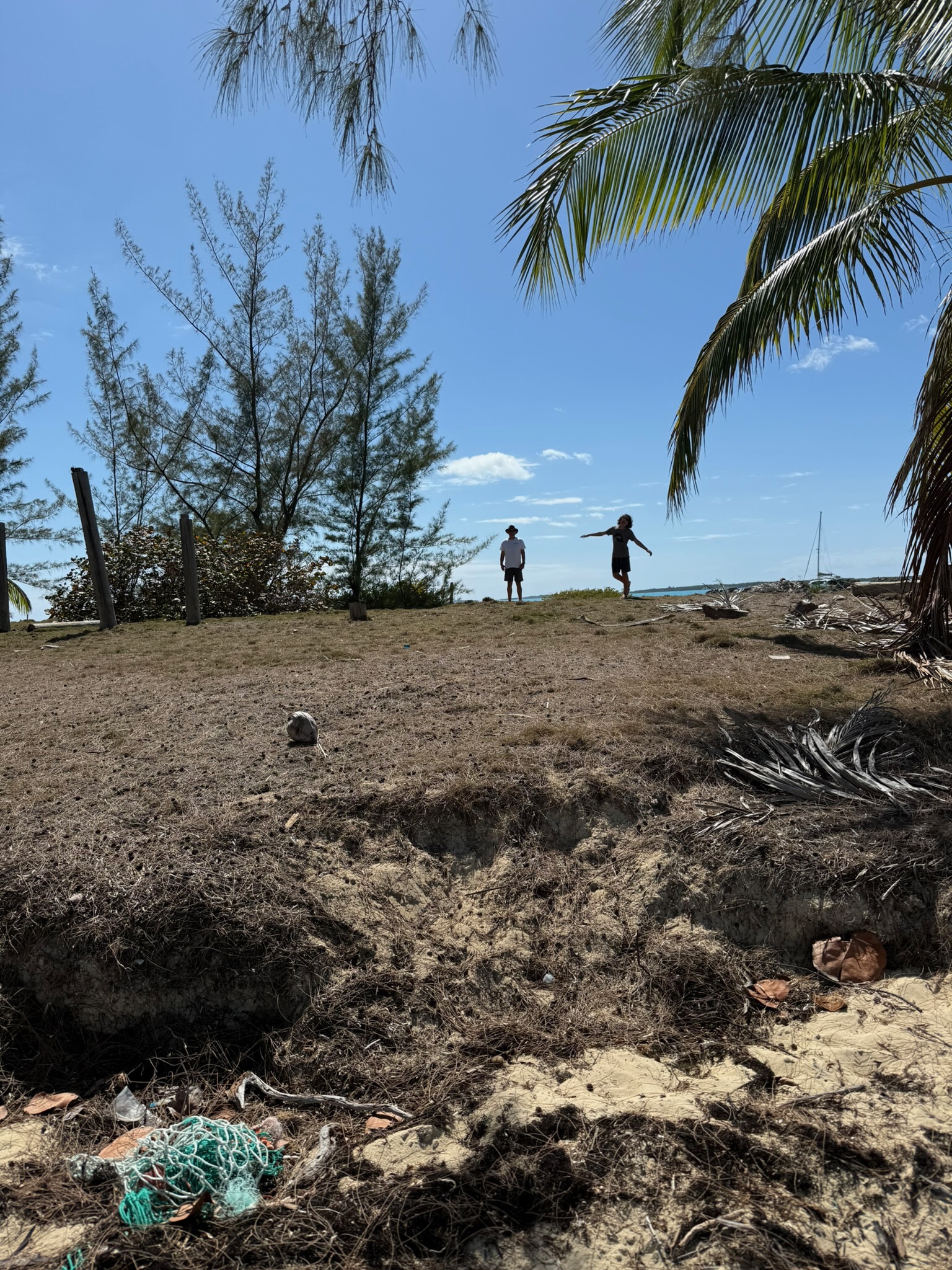
After getting Kosmos situated, we went to the beach and walked around for a bit. Looking south beyond the beach
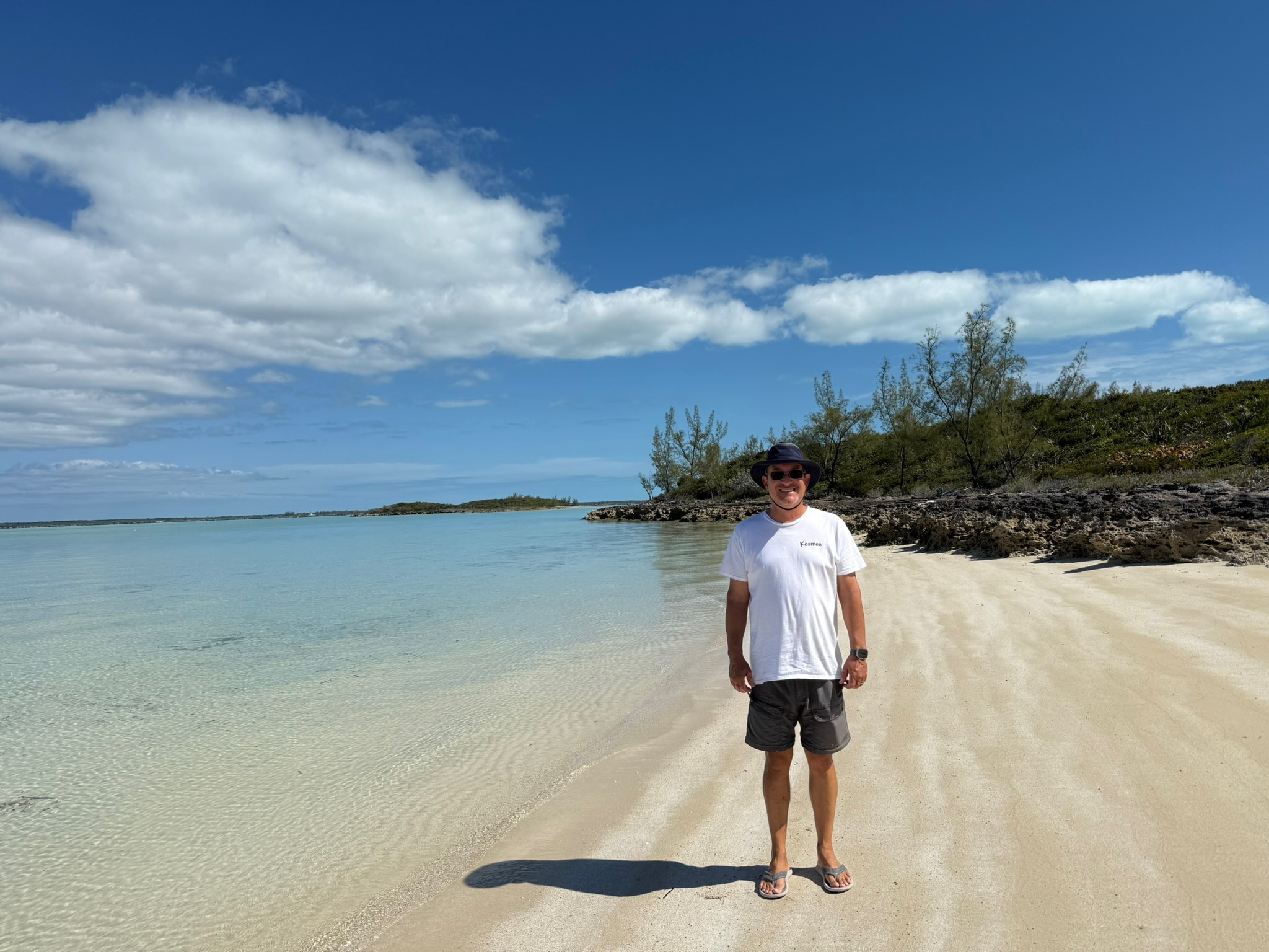
Looking north from the south end
The spit of land was very narrow and there was only beach on one side. Most of the land had dense foliage, but one large area had been cleared. Note the poles to the left — it looked to us that there used to have a structure of some sort on it — maybe a gazebo? — that may have been destroyed in a storm, or just decay. There was also a grill and some table and chairs that had all seen better days scattered about the island. Our guess is that they were dragged from here.
This was the Nordhavn 55 on the other side
We tried to go explore the southern part of the anchorage, but it was too shallow even for the dinghy! Instead, we visited with a couple of the other boats in the anchorage. After returning to Kosmos, we saw that we’d gotten bitten up by bugs. Argh!
The anchorage was very calm when there was no tourist boat traffic. However, there were a lot of fast tourist boats zooming by, and it could get rocky when they passed. We had a quiet night onboard. Eric and Keith did another online Civilization (video game) session with Ocean Posse group.
Twilight (that is not the Nordhavn 55, it is a fishing boat that anchored near them):