
Saturday, October 25 — We decided to take a drive to see the leaves change color. Eric found an app that said that as of this morning, Chambersburg, Pennsylvania was the closest place that had the best ratio of colorful leaves. What was interesting was that last night, it gave us a different town, so clearly, it’s being updated frequently.
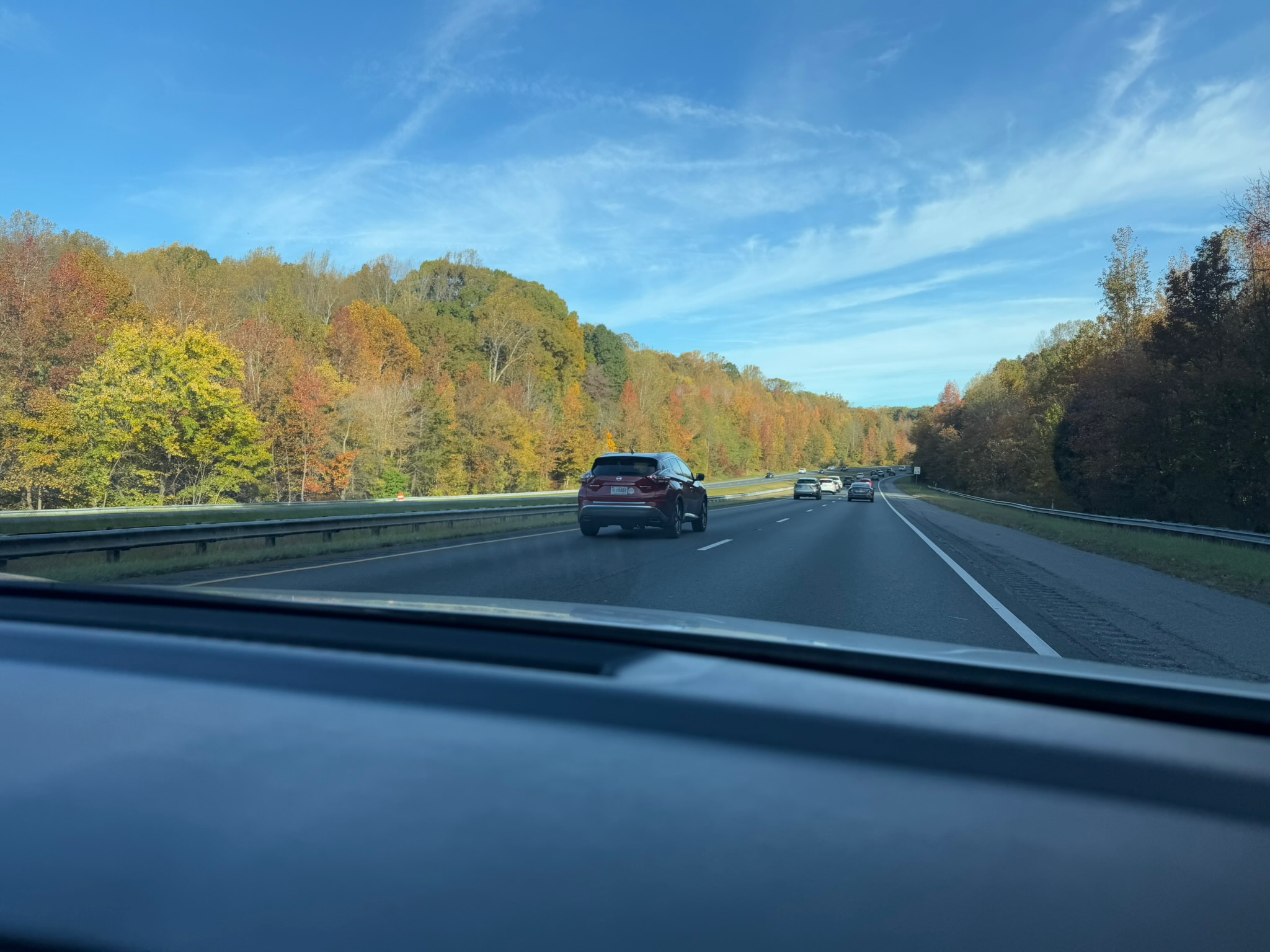
Chambersburg was 2-hours northeast of us. The drive up in an of itself was pretty. This was what the highway looked like most of the way.
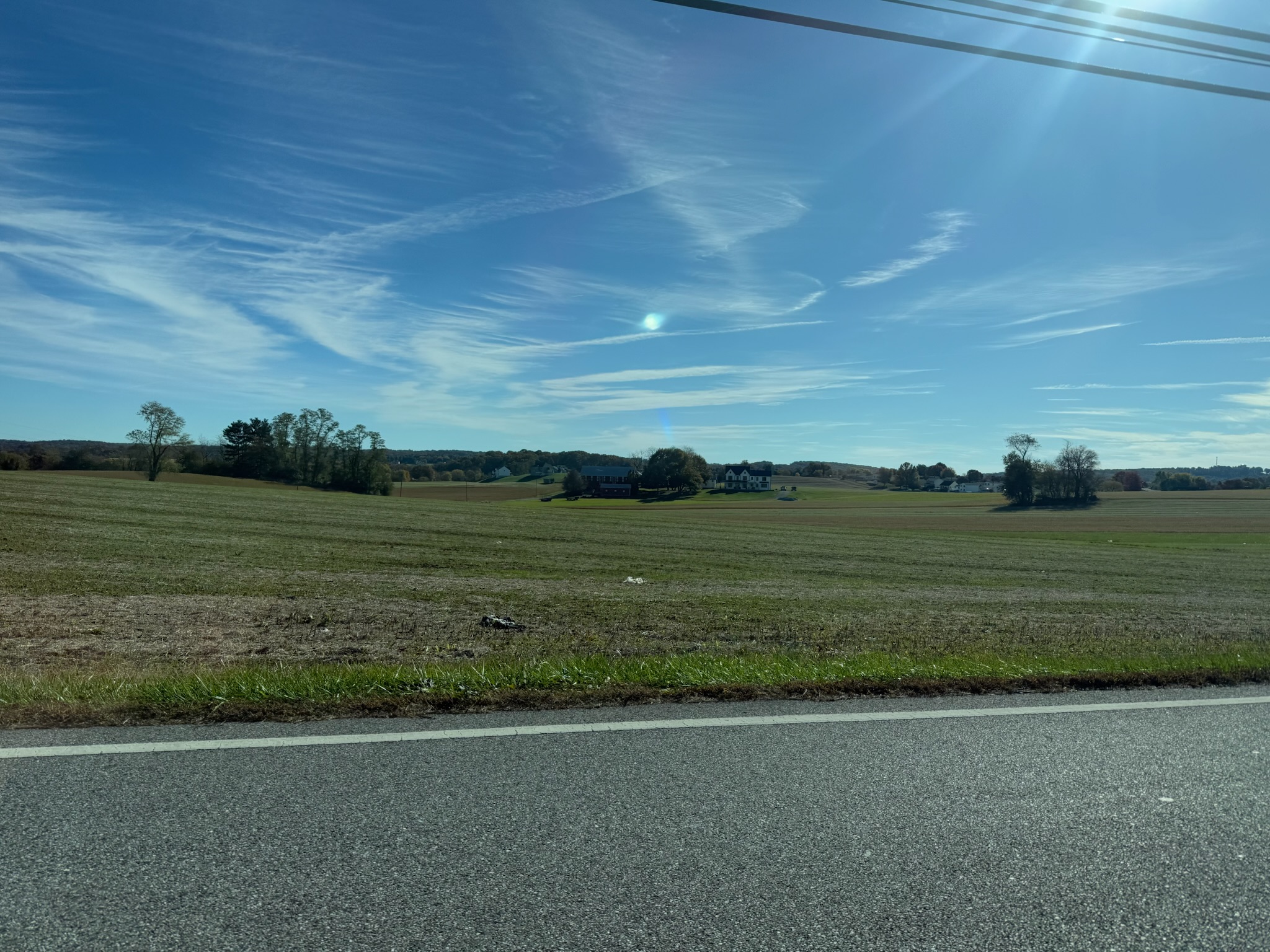
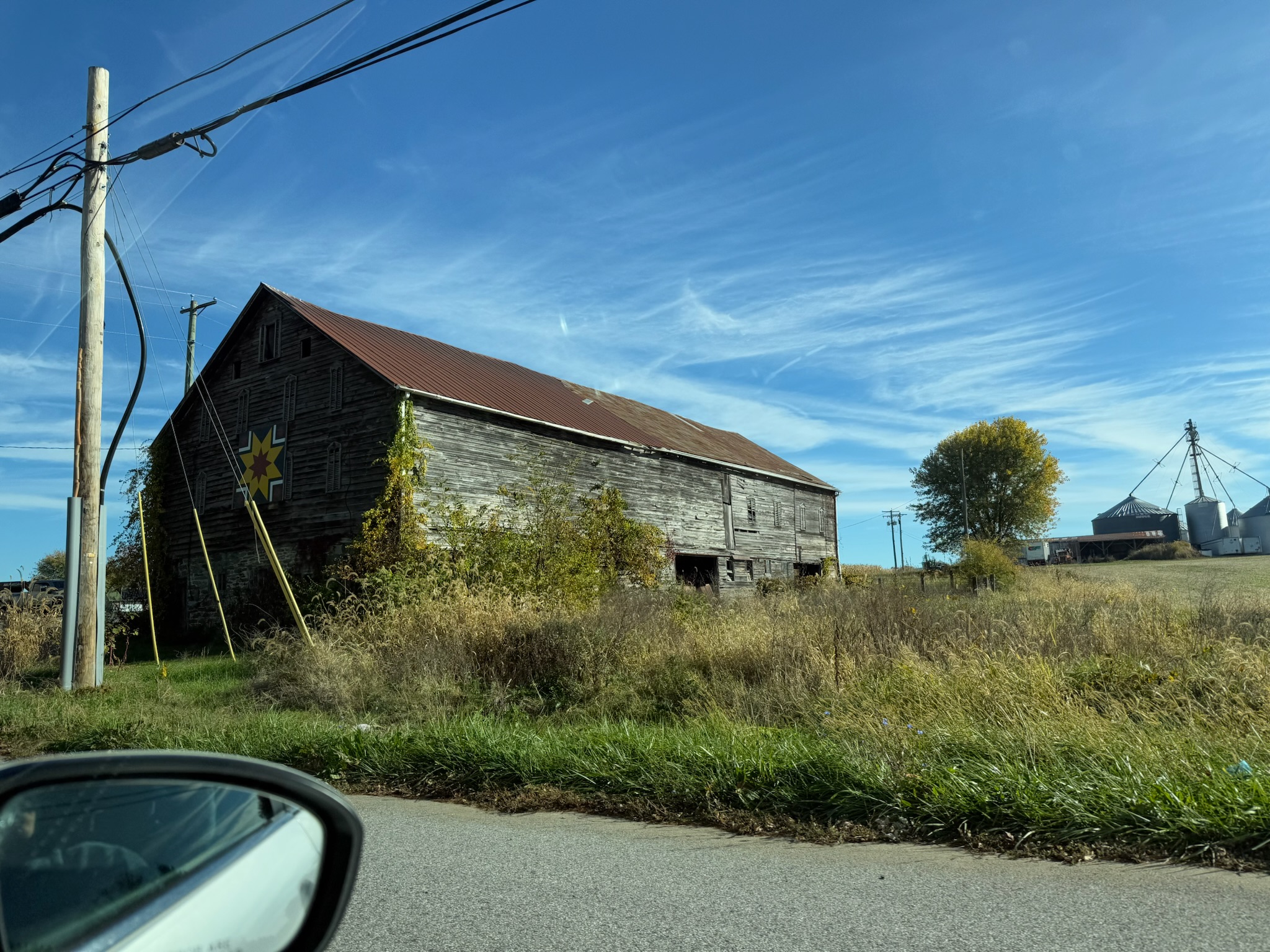
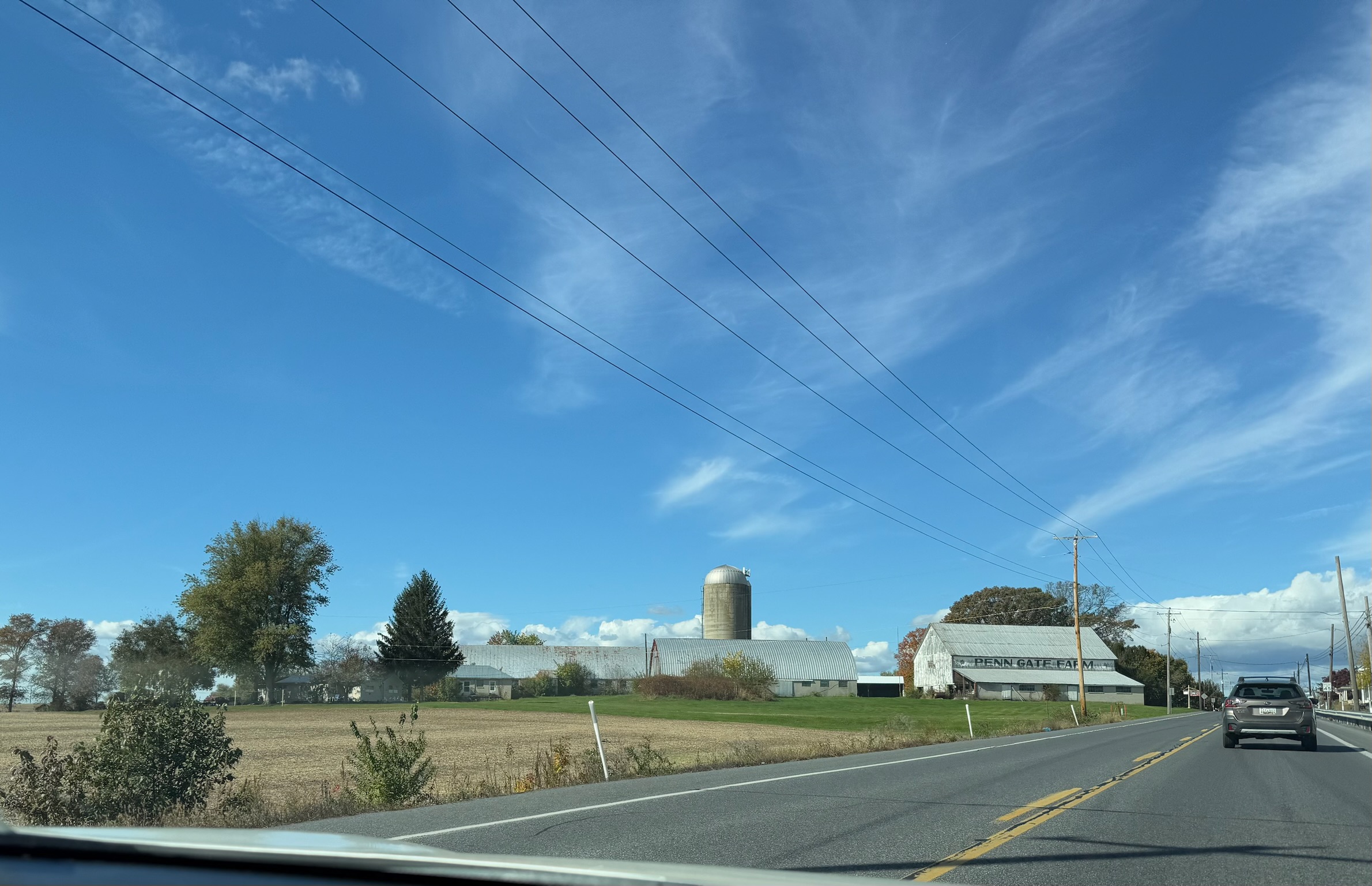
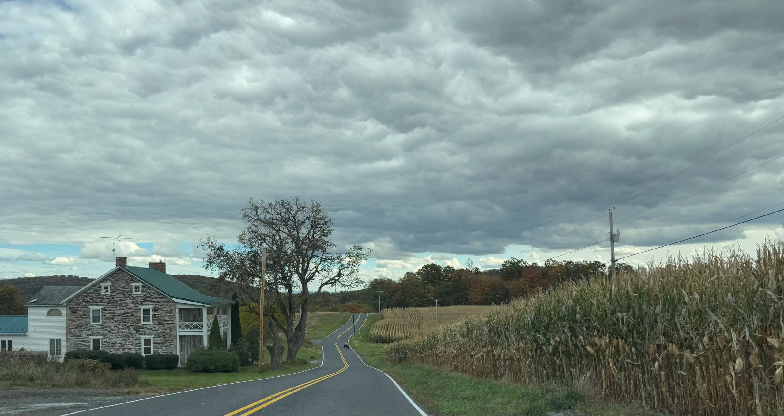
Traffic did seriously slow down outside of Baltimore, but it picked up again as soon as we passed Baltimore. We could see Baltimore from the highway, and we had nostalgia about the month that we’d spent there. Eventually, we left the highway for Highway 97, which was a two-lane road that ran through a rural area that looked to be mostly agricultural.
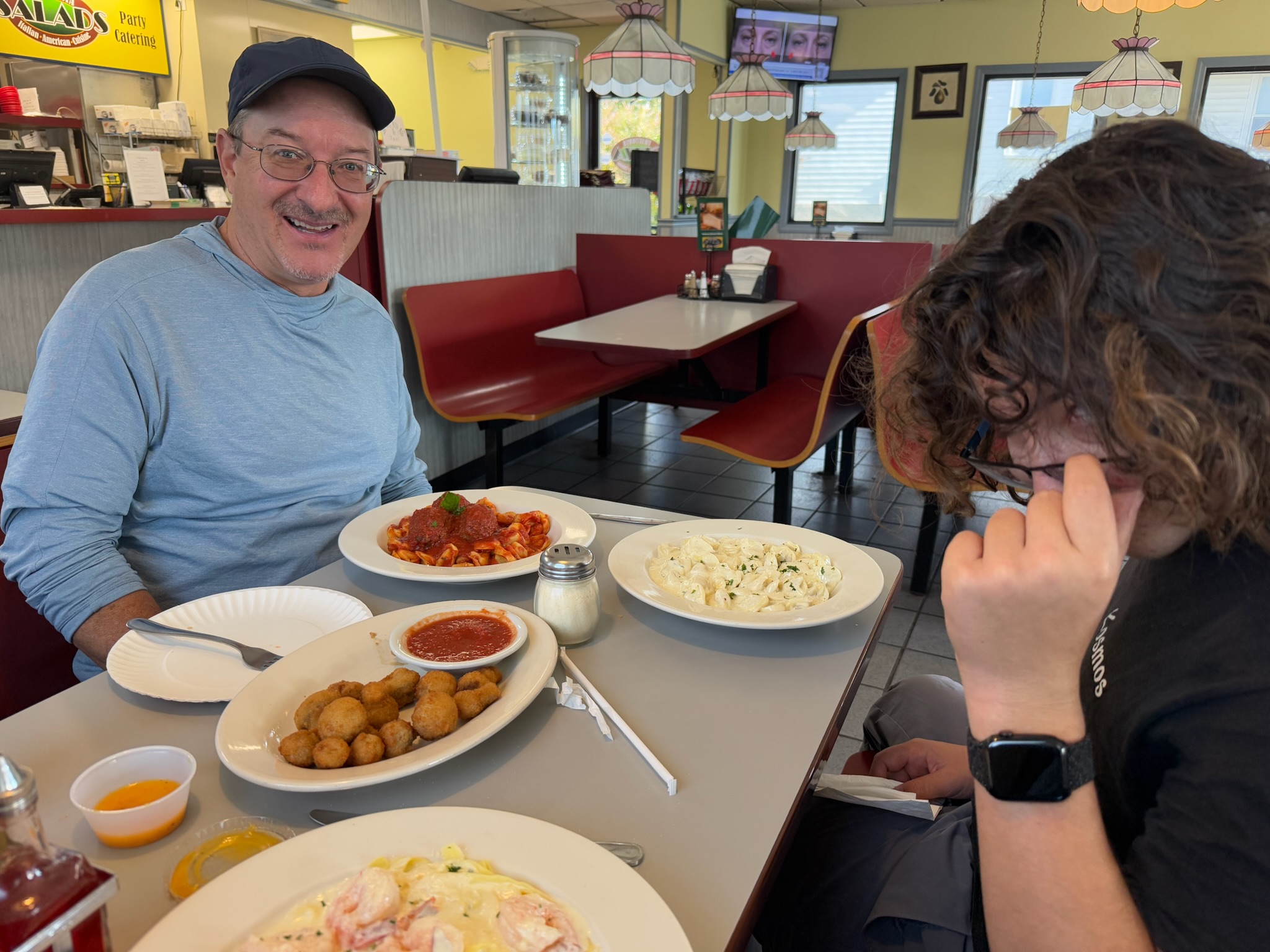
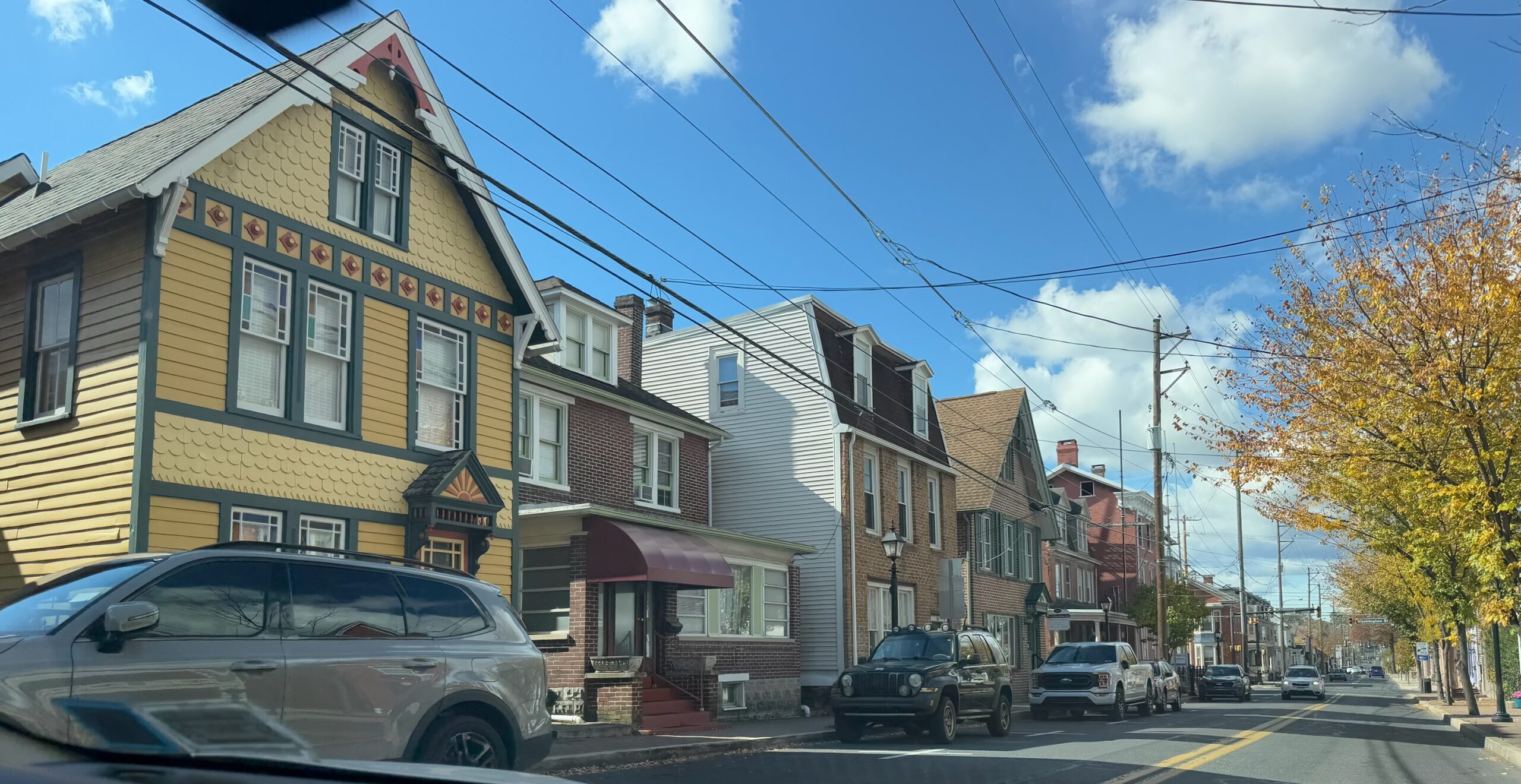
We came to an adorable, historic looking small town. We were getting hungry. Eric was craving Pizza, so we consulted Maps and saw there was a pizza restaurant a short ways off our path that was currently open. We turned onto a main road called King’s Street. Trattoria Pizza was in a low, modern building just outside the historic area. Per the menu, we were in Littletown, Pennsylvania. The food was fantastic, the portions were big, and the prices were good. We rate this place excellent value for the money.
After we finished eating, we got back onto Highway 97. The scenery quickly returned to agricultural.
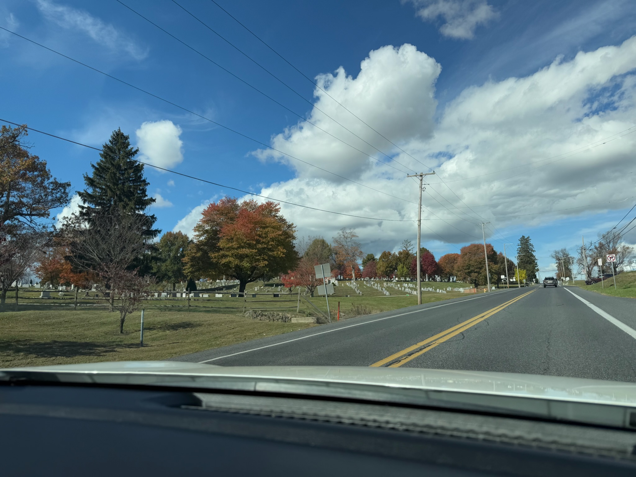
But after only maybe ten-minutes or so of driving, we passed a sign saying that we were in Gettysburg. We passed the Gettysburg National Military Park facility and cemetery. Since the government shutdown was still happening, we doubted it was open.
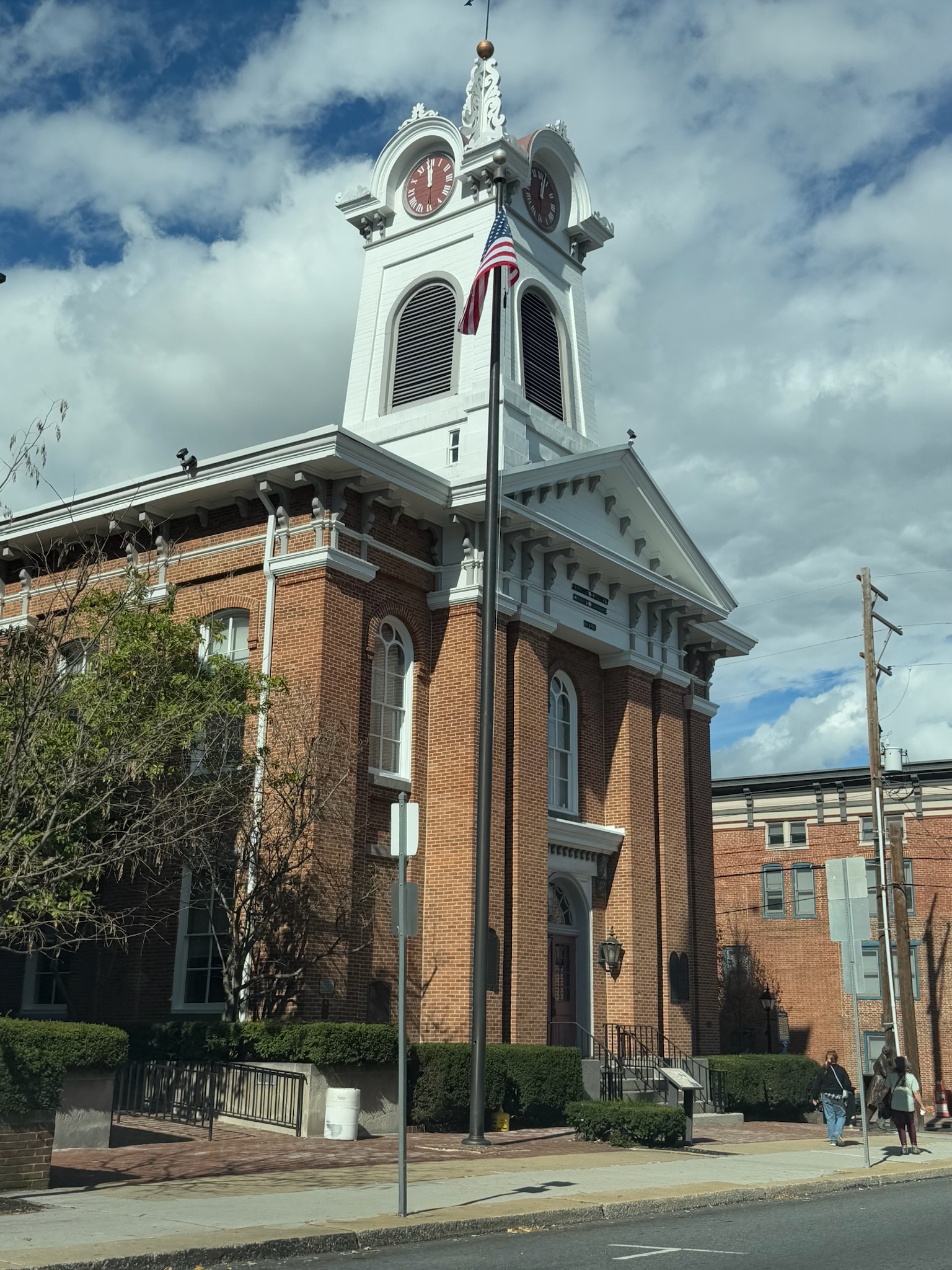
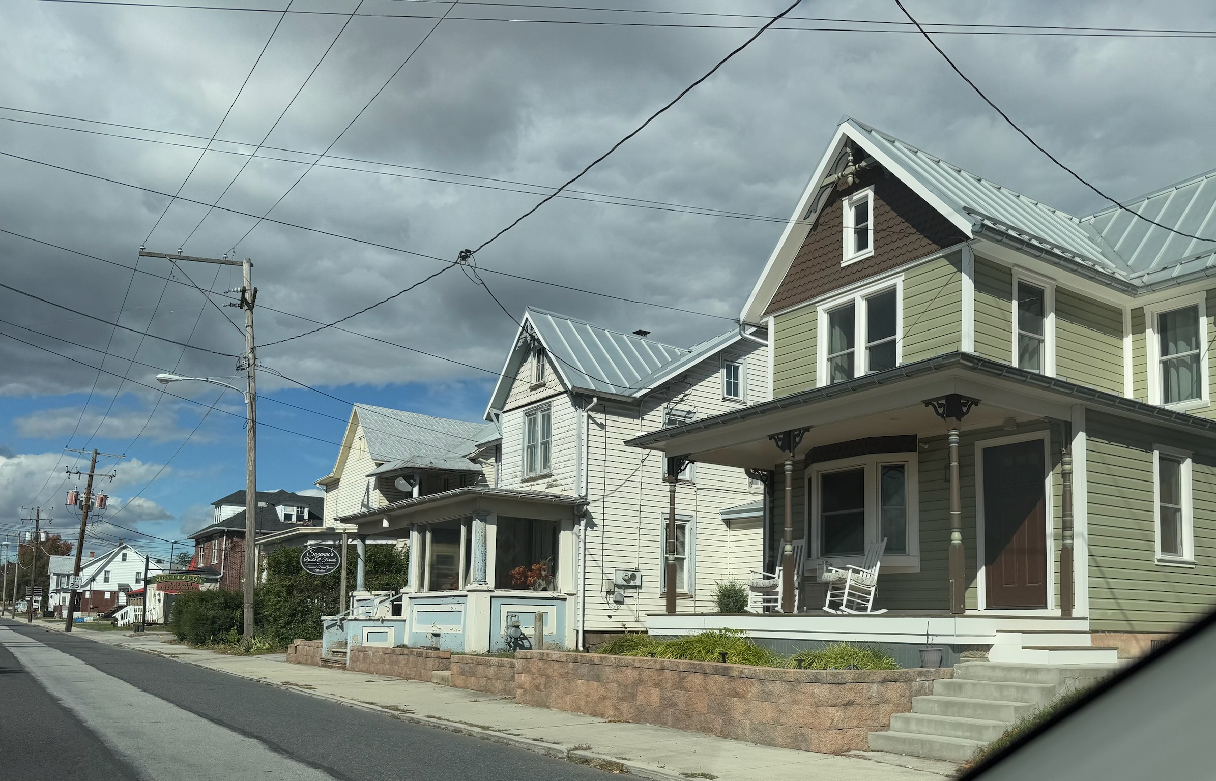
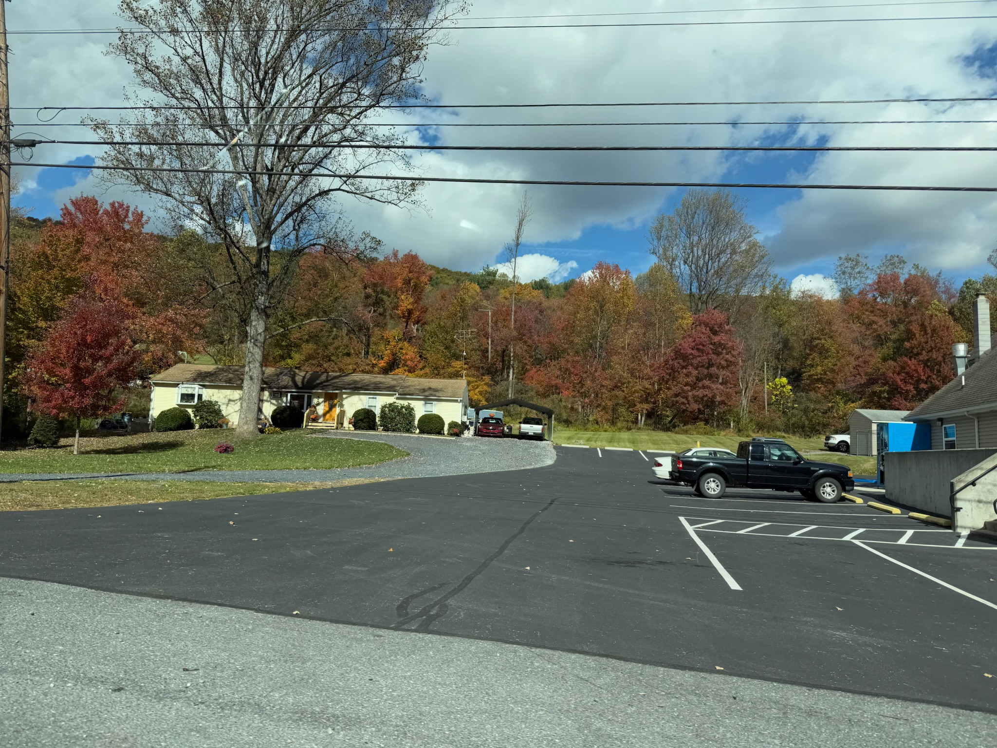
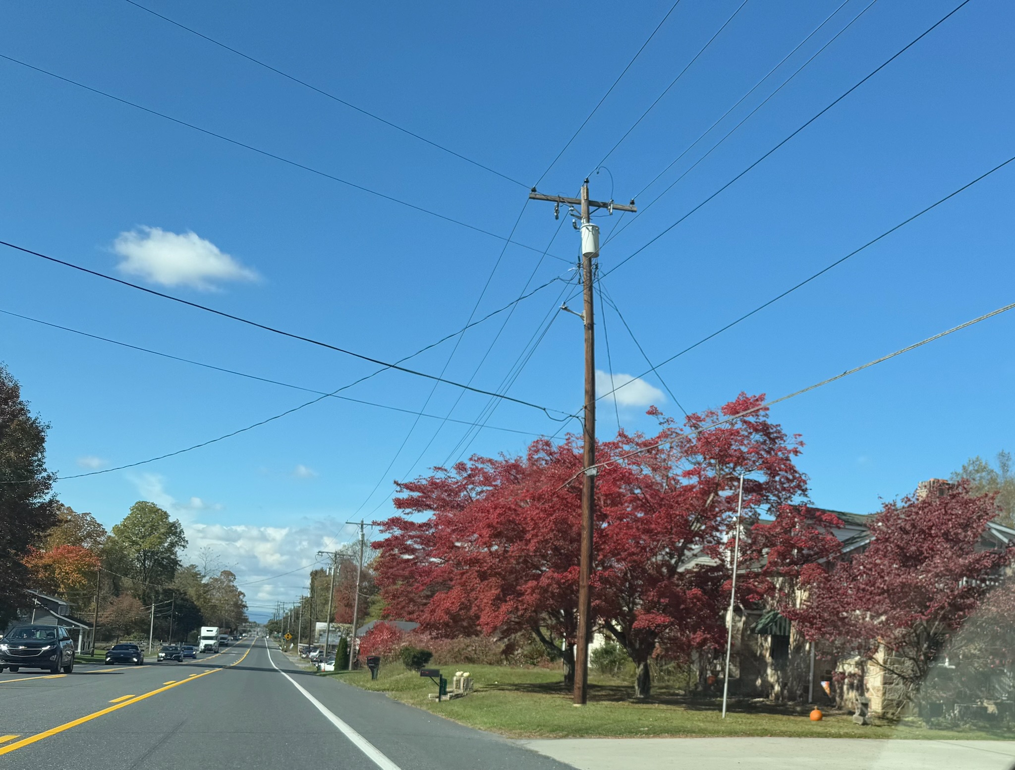
We drove through the main drag of Gettysburg. It was another very cute historic town. We saw that most of the businesses catered to tourists in one way or another and that there were a lot of tourists walking around.
At what looked to be the northern edge of the historic part of Gettysburg, Maps directed us to turn onto Highway 30. It looked more suburban.
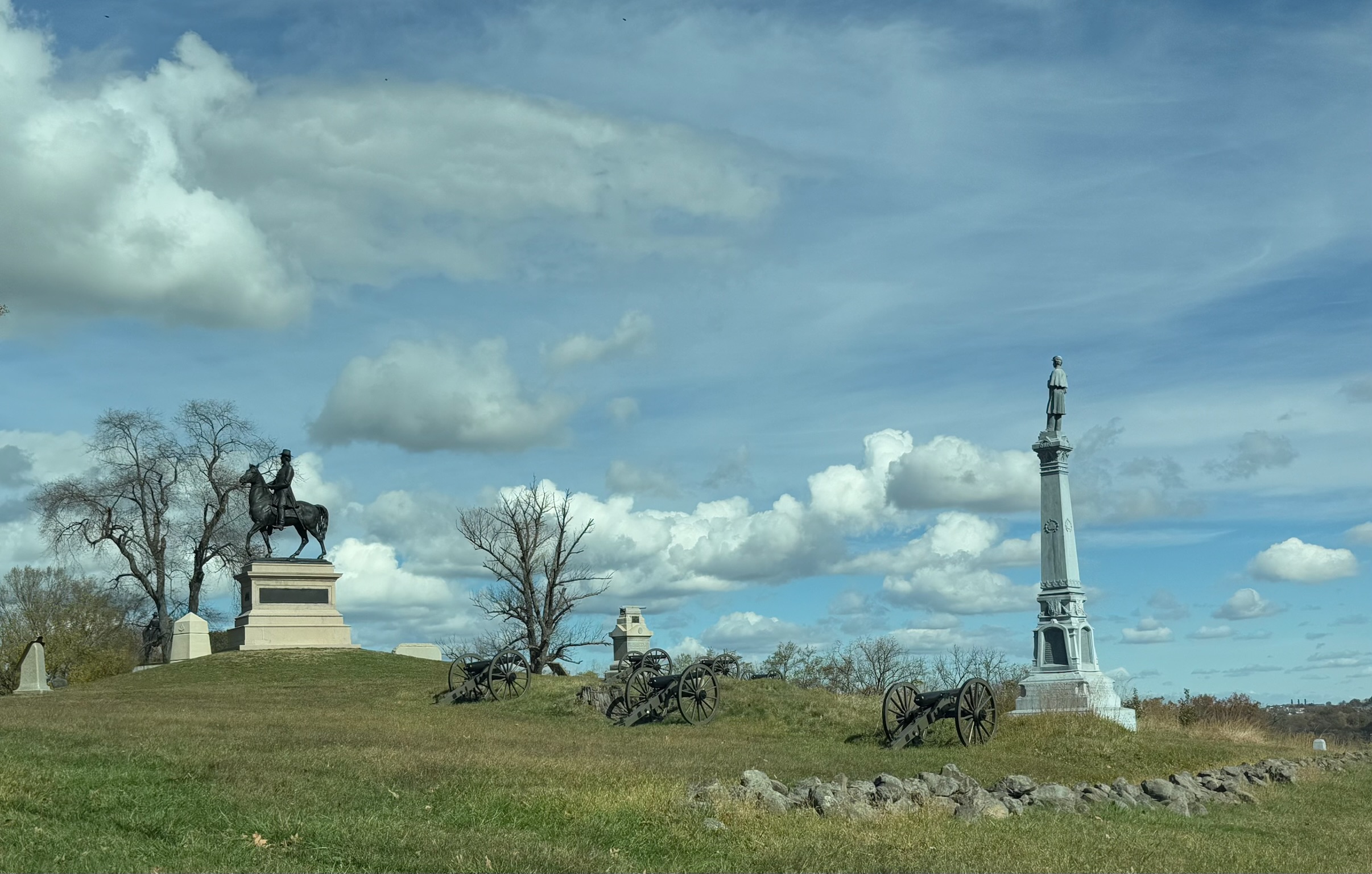
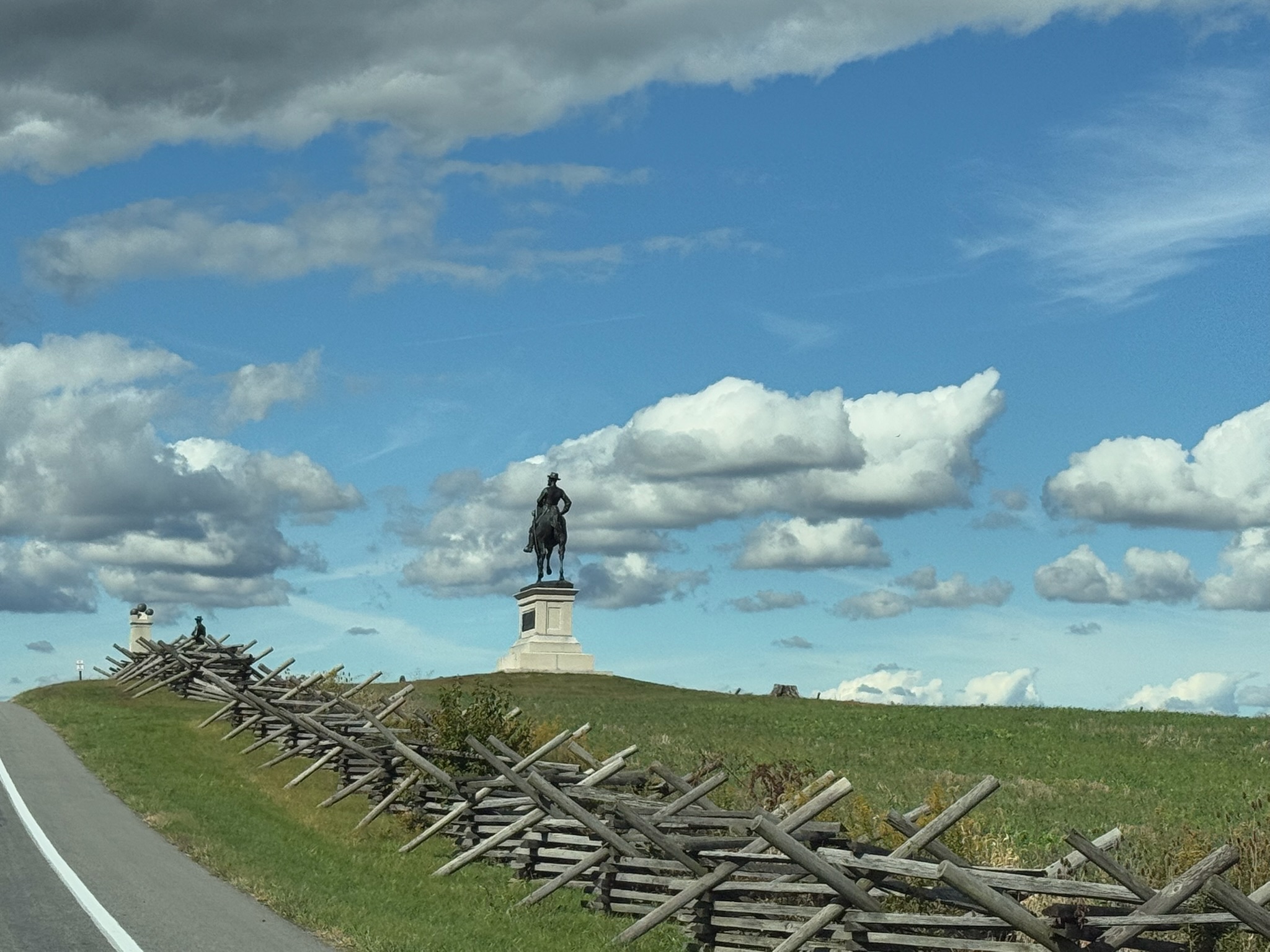
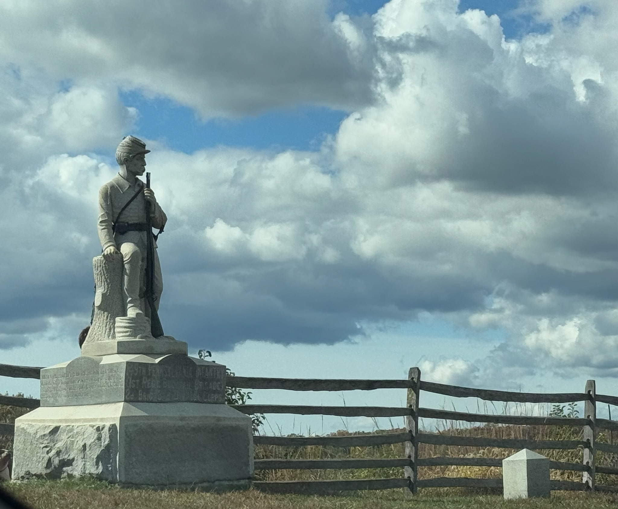
We passed what appeared to be another Battle of Gettysburg memorial.
For a while, there were widely spaced buildings along the road.
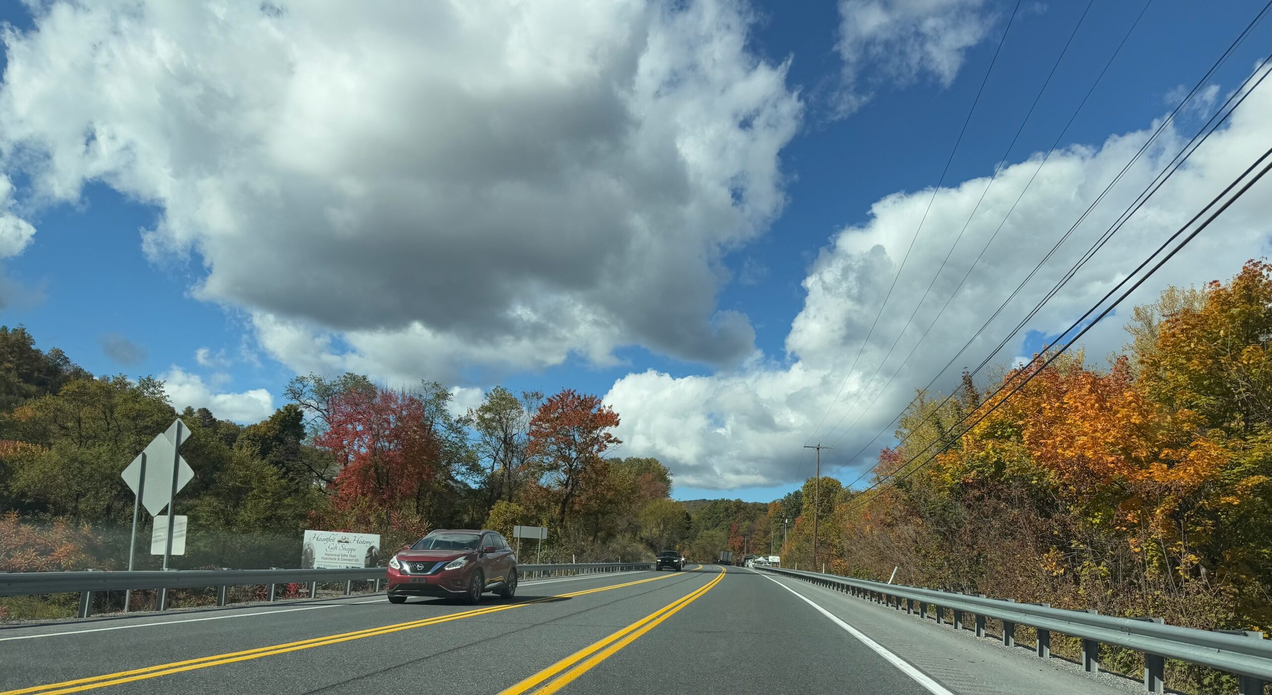
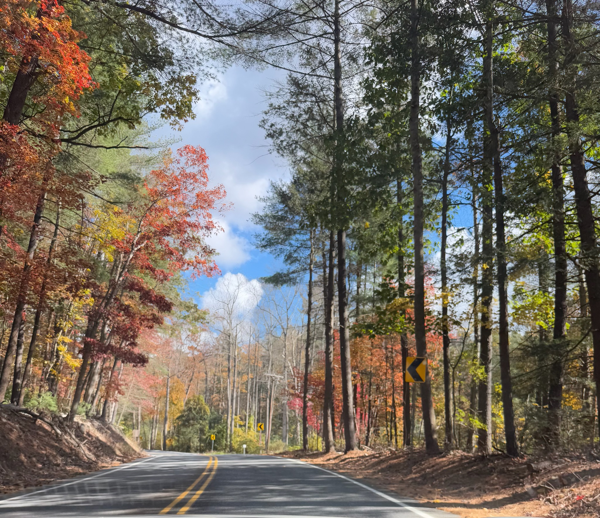
But not far beyond the outskirts of Gettysburg, the highway became tree lined.
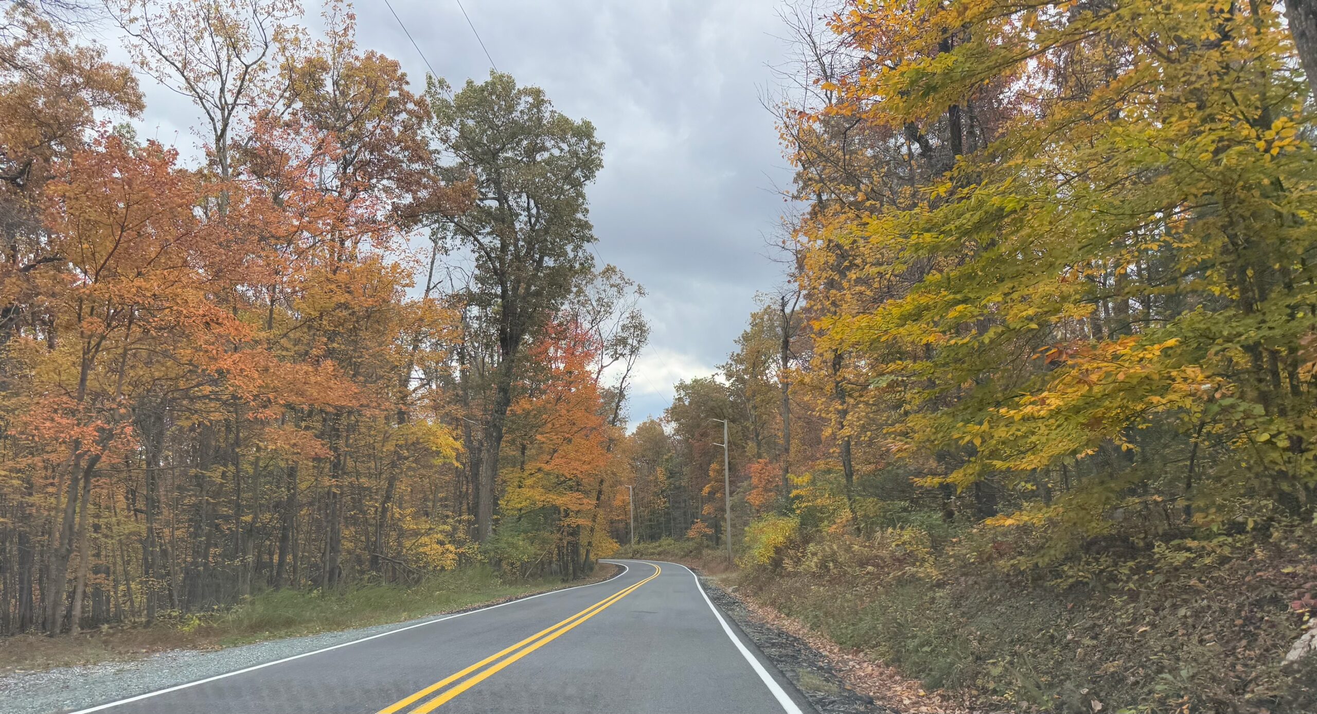
We didn’t go all the way to Chambersburg, which was about 30 miles west of Gettysburg. About halfway between the outskirts of Gettysburg and Chambersburg, we noticed that, per Maps, we were in what appeared to be a state park. We decided to turn off the main road and drive around in the hills. We figured there would be hiking trails in a state park.
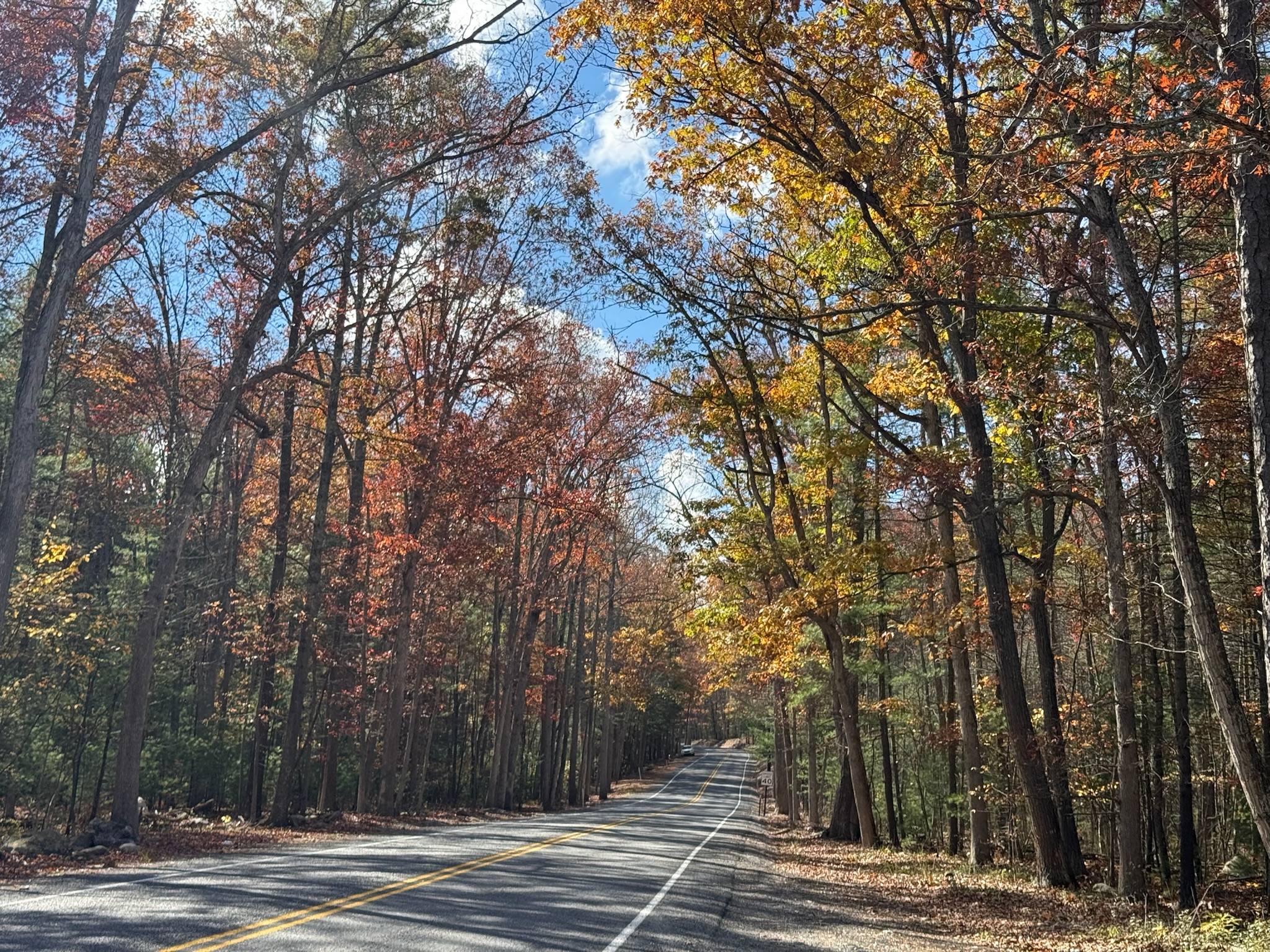
We did a loop through the hills that took about an hour. We noticed that on many of the trees, the leaves at the top had become colorful, but were still green lower down.
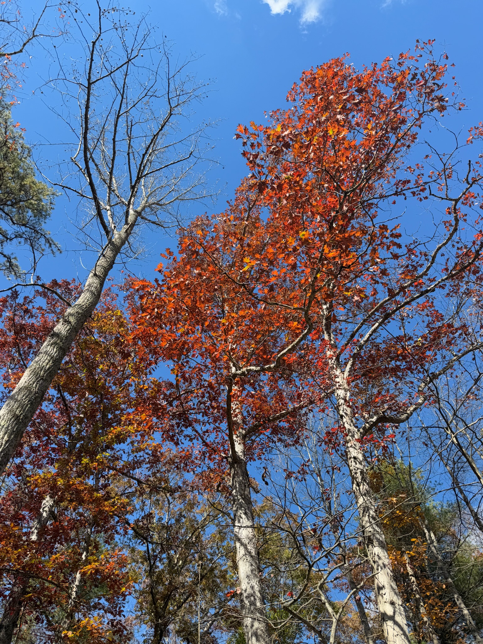
It was indeed pretty, but a lot of trees had already lost their leaves, so we think we missed the peak. Our guess is the peak was probably a couple days earlier.
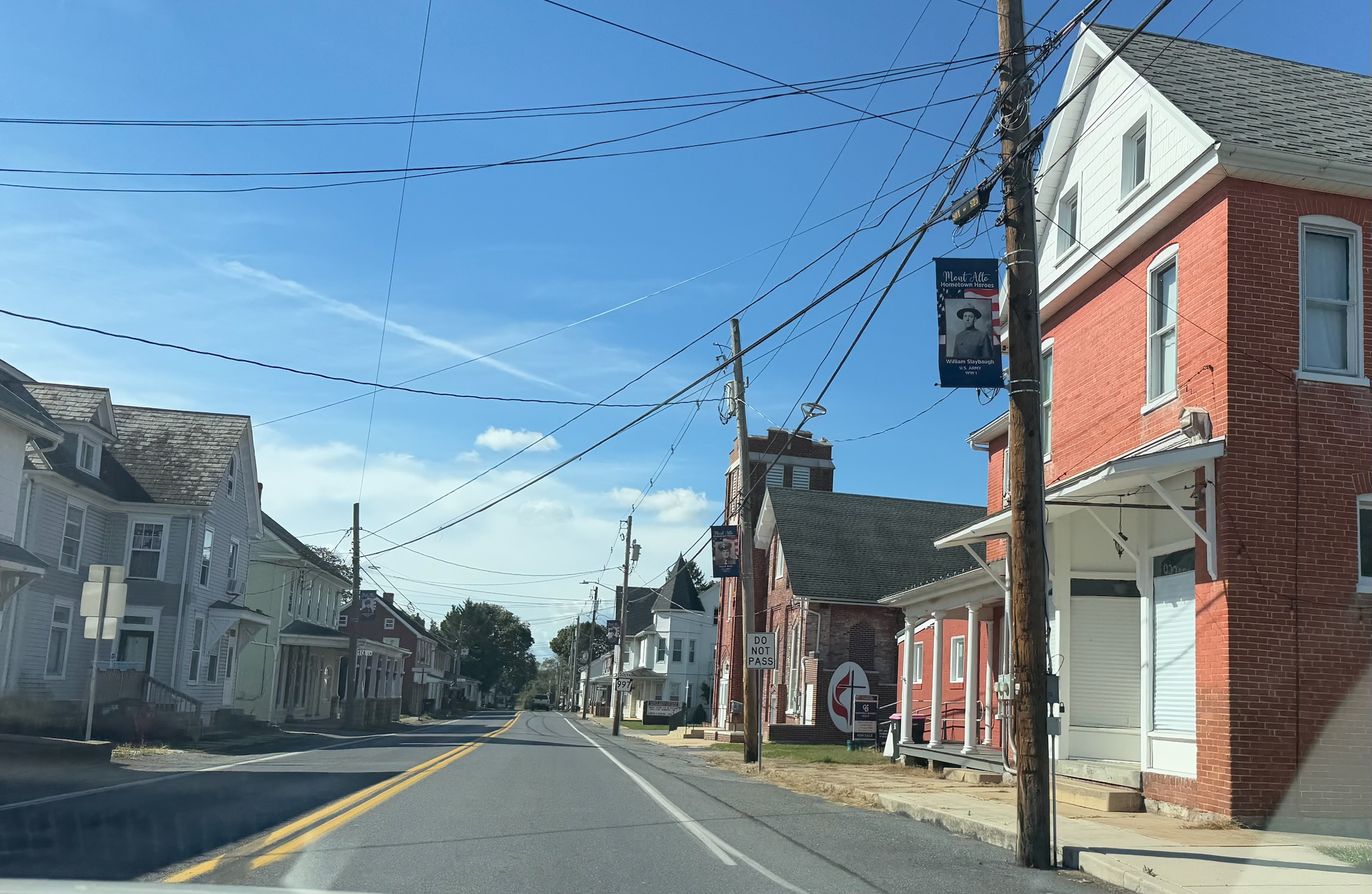
We never saw any hiking trails along the side of the road, but we did pass through an adorable historic town called Mont Alto.
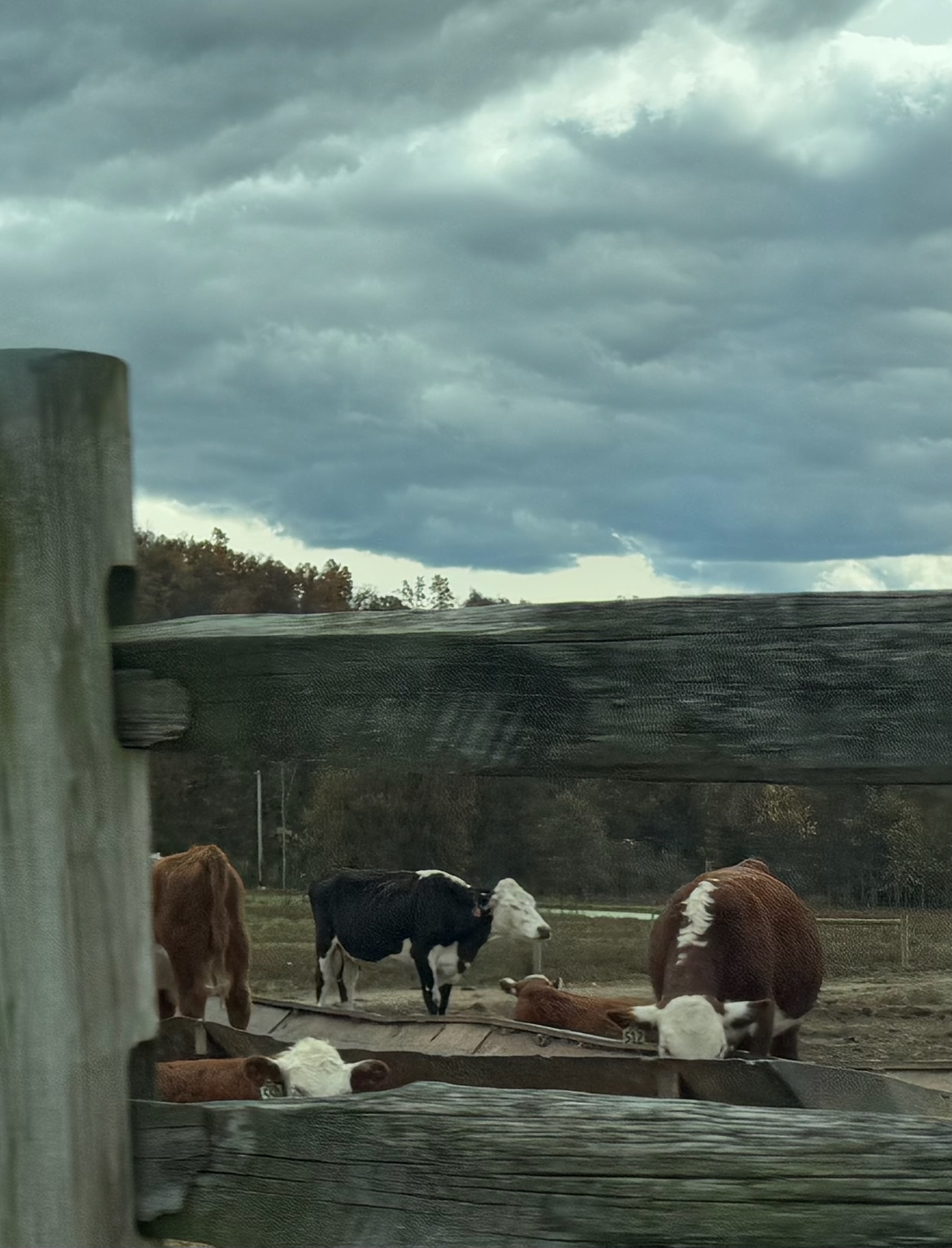
As we neared Highway 30 again, the scenery went back to being most agricultural.
Much to Keith’s horror, once we got back to Highway 30, Eric and Christi decided to go back to Gettysburg to see if the museum was open… to be continued…