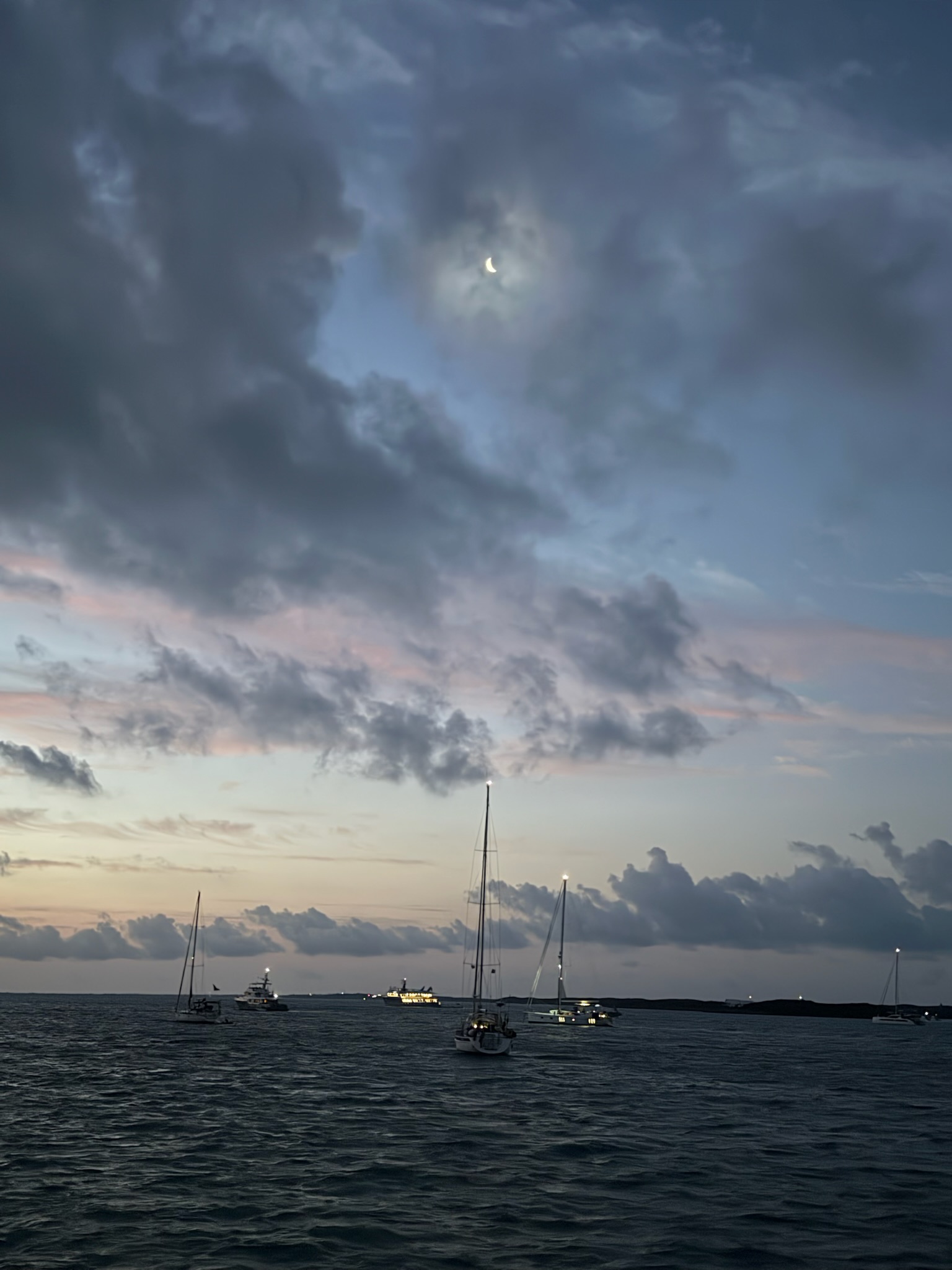
On Monday, March 24, the crescent moon was still shining brightly despite the cloud cover as dawn started.
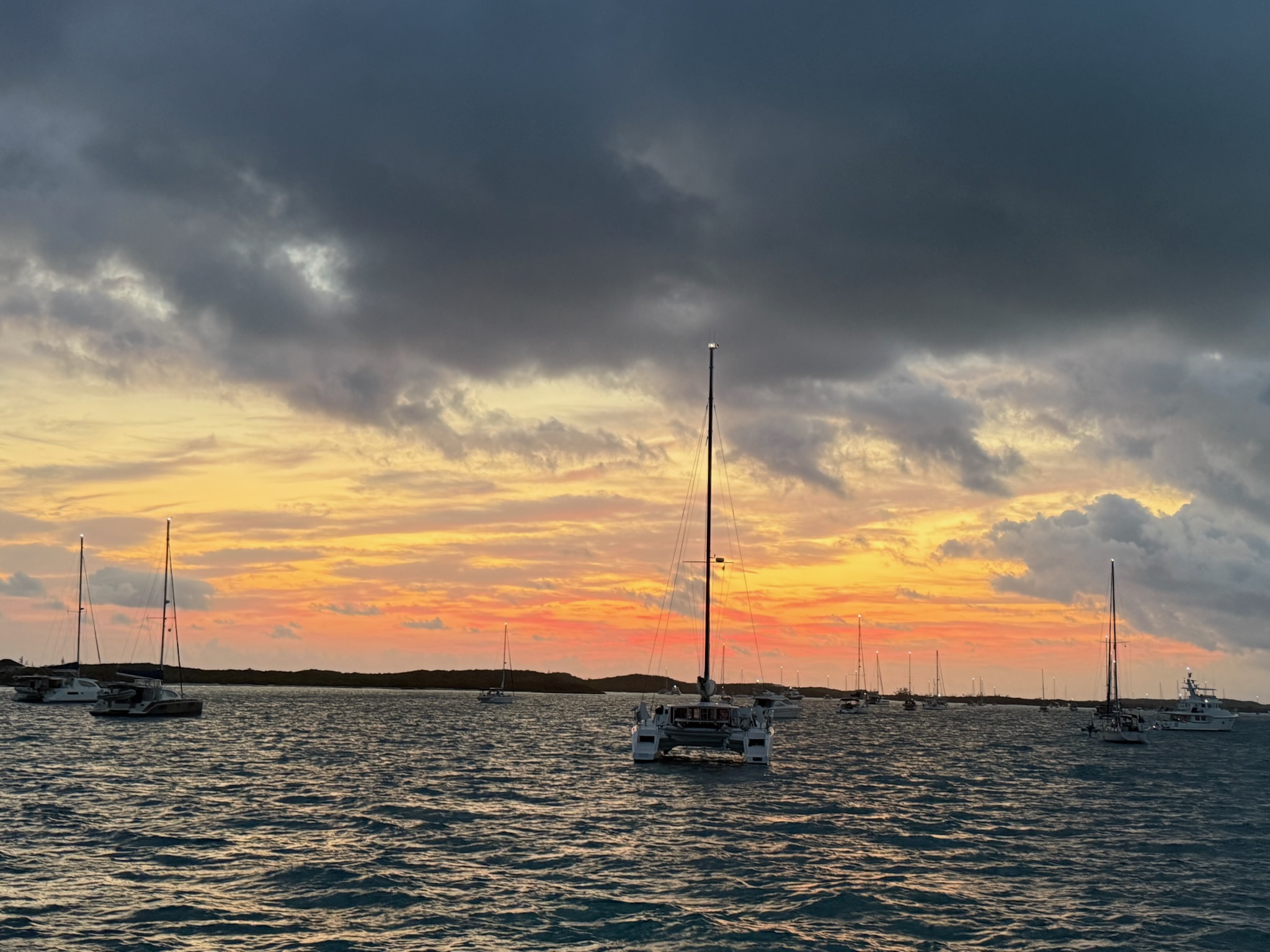
Dawn was spectacular
This morning, Eric called ARCO again and managed to get through to a customer service person. This time, the customer service person did send the schematics over to Eric and told Eric to check the regulator setting to make sure that it was set to Viktron. Eric spent the day mulling over whether it was wise to turn the Zeus box back on.
Another storm was coming; actually there were going to be two separate storms back to back. It was supposed to be rainy and windy — with gusts to 35-knots! — on Tuesday through Friday. We knew it would be too rough and wet to go to George Town again until Saturday, so we needed to go to the grocery store today. We’d actually wanted to go yesterday after the Nordhavn happy hour, but the grocery store had already closed for the day (they closed early on Sundays).
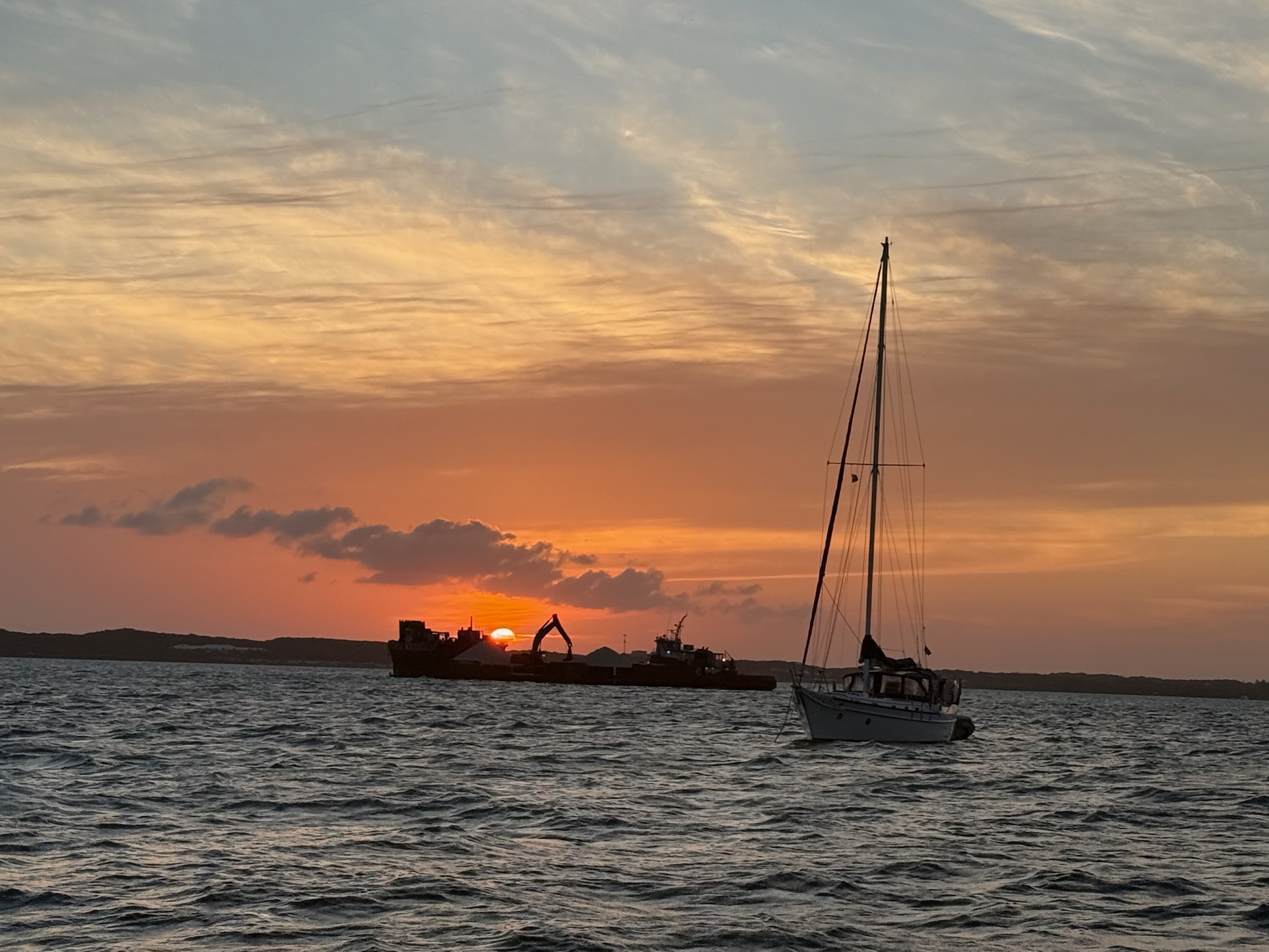
Since the wind was going to slowly and steadily pick up all day, we headed to shore as soon as we were done with morning chores and school. As we were getting ready to go, we noticed a barge was stuck in the sand!
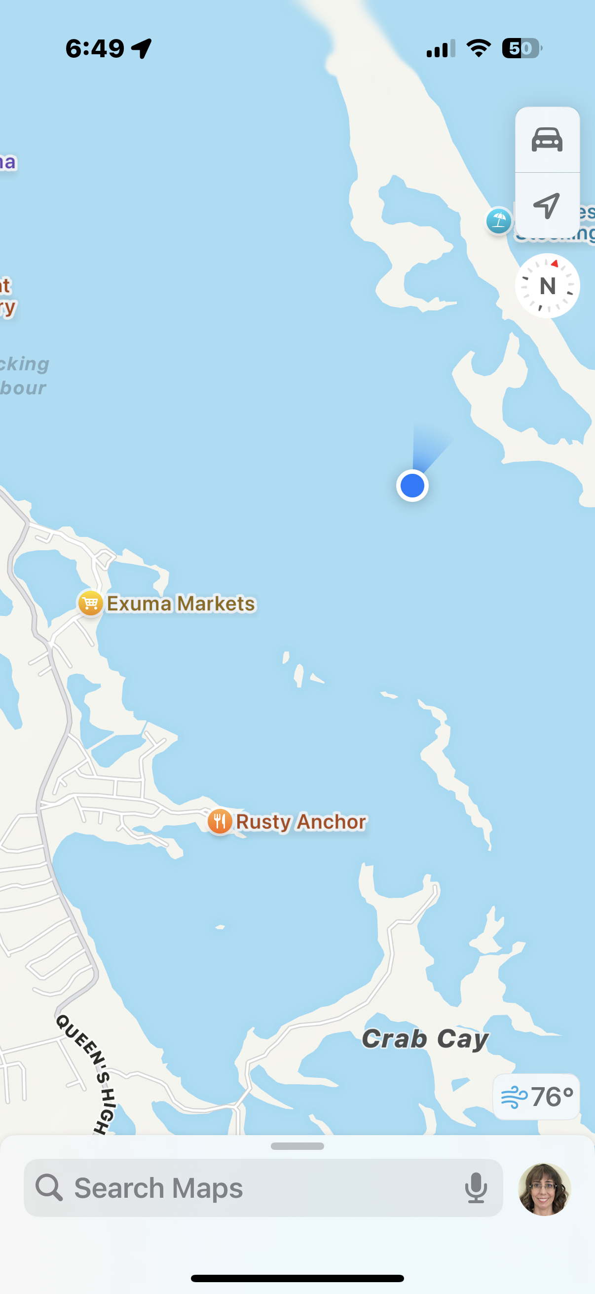
Now that posting maps is a thing for us, here is a map showing where we were in relation to Chat N Chill and George Town.
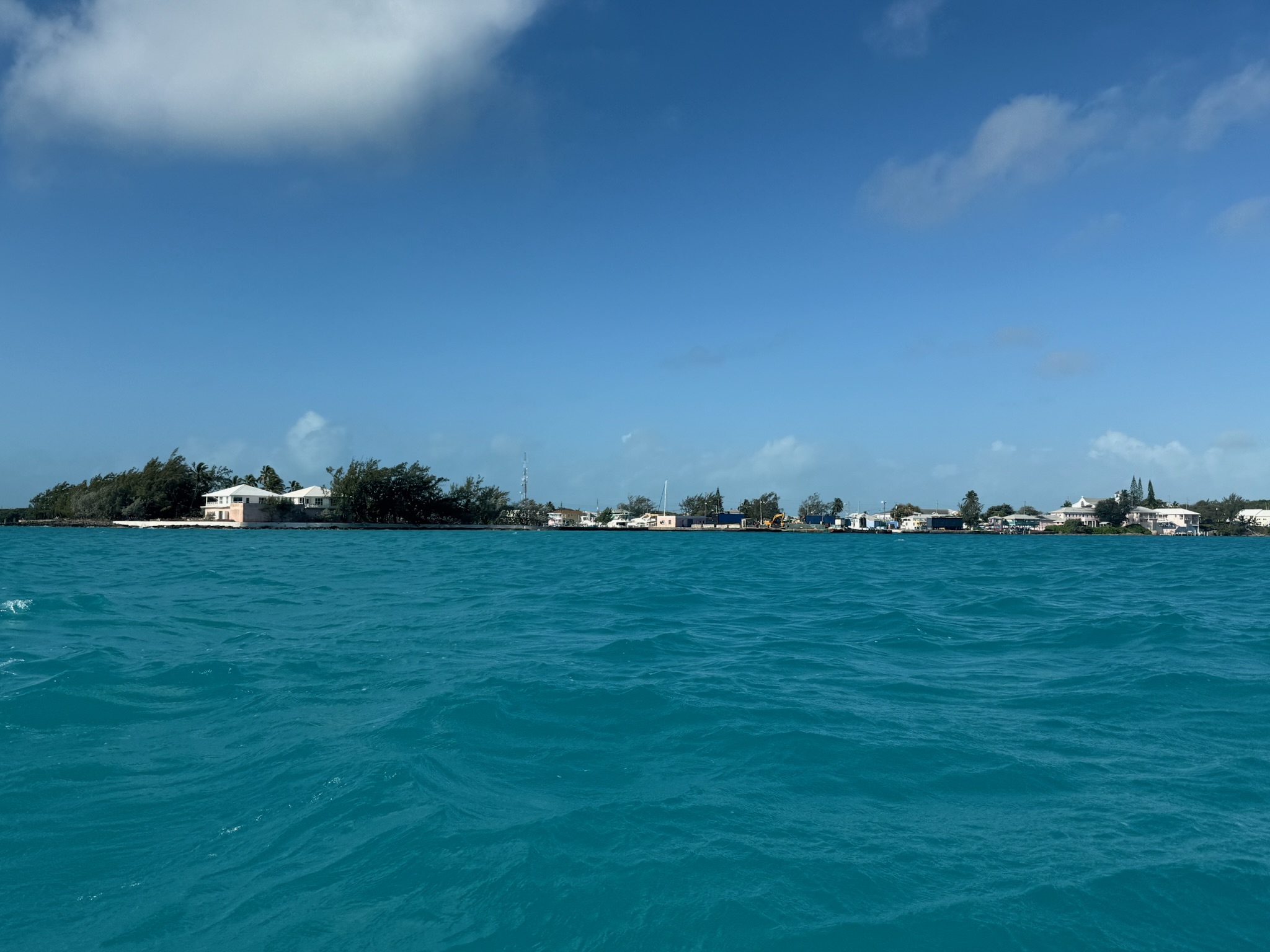
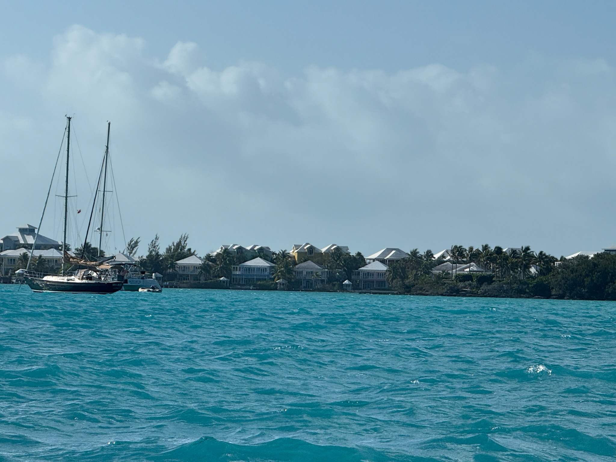
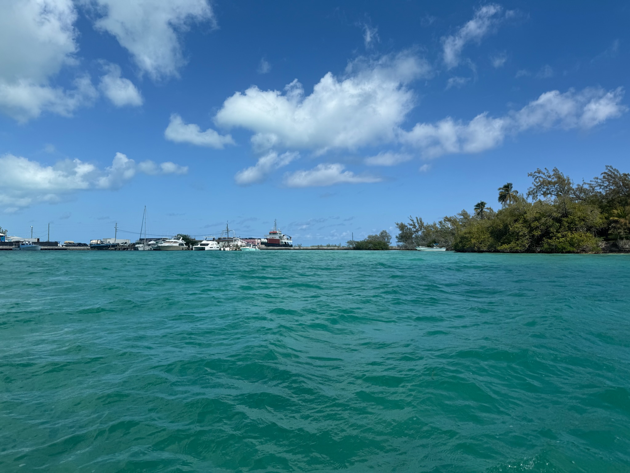
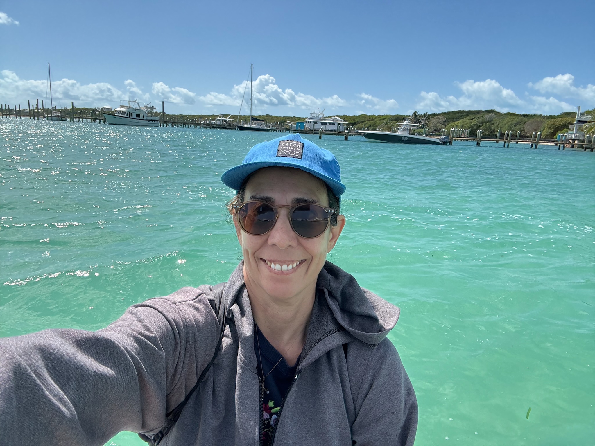
We haven’t posted many photos of George Town, so here are some more:
Looking north at the shoreline; the buildings were colorful and modest
Looking south at the shoreline; the buildings looked like fancy condos or resorts
The northeast part of the harbor
The southwest part of the harbor has a small marina that belonged to the yacht club. There was a sea wall that offered some shelter from the waves. But as you saw in that video of our first trip to George Town, it still got pretty wavy in there!
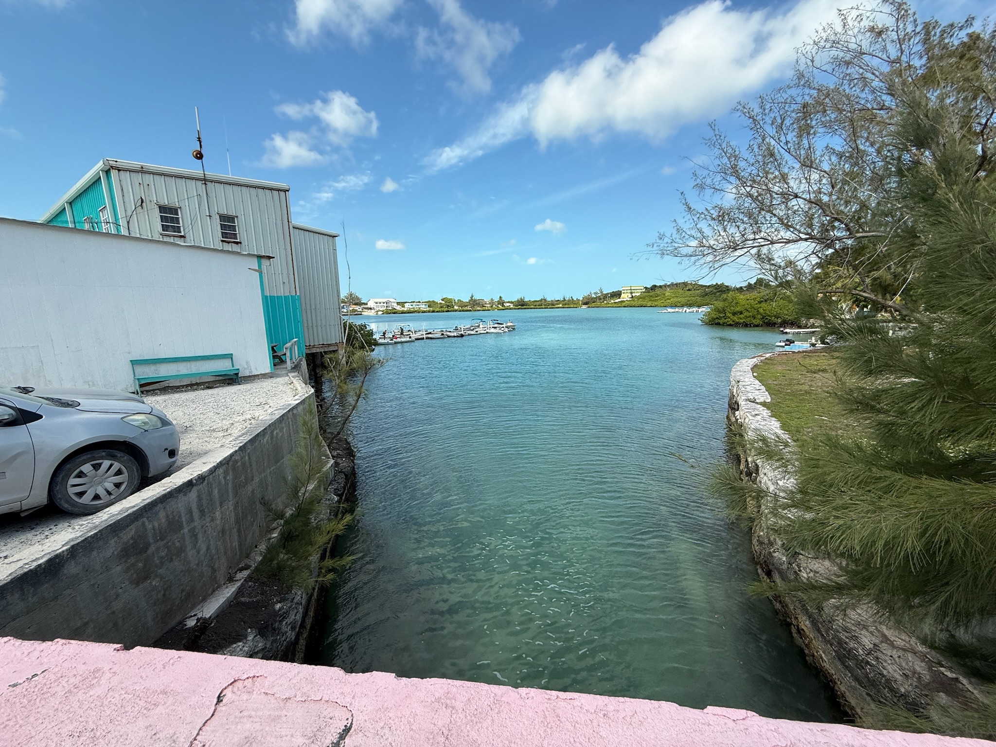
Lake Victoria. This photo was taken from the bridge that the dinghies have to go under to get in and out of the lake. The grocery store/dinghy dock are to the left.
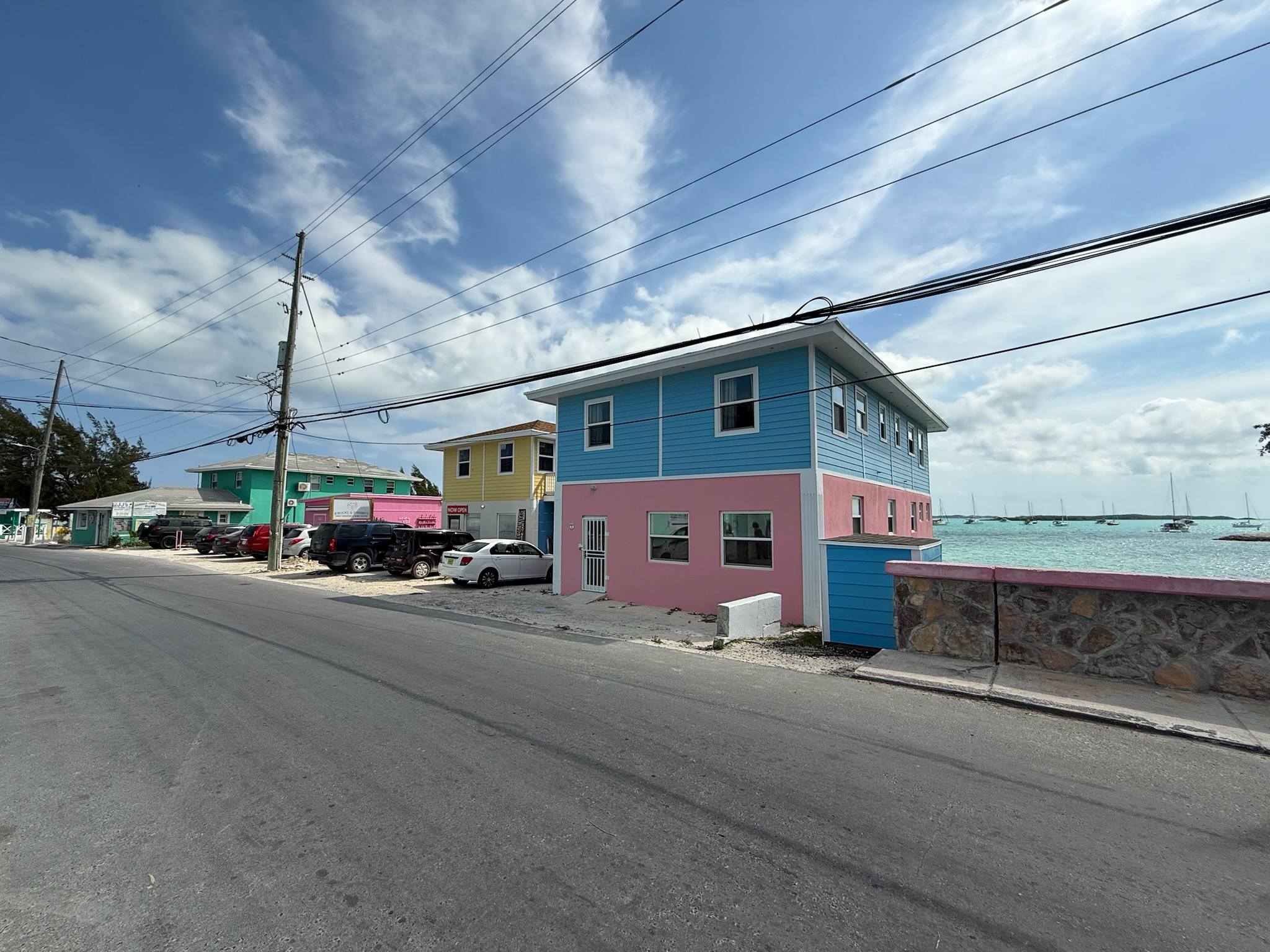
The dinghy dock was right behind the Exuma Market (grocery store). It was next to the burger place we’d eaten at on Friday and across the street from the pizza place and yacht club. Here was a photo looking up the street, taken from the bridge.
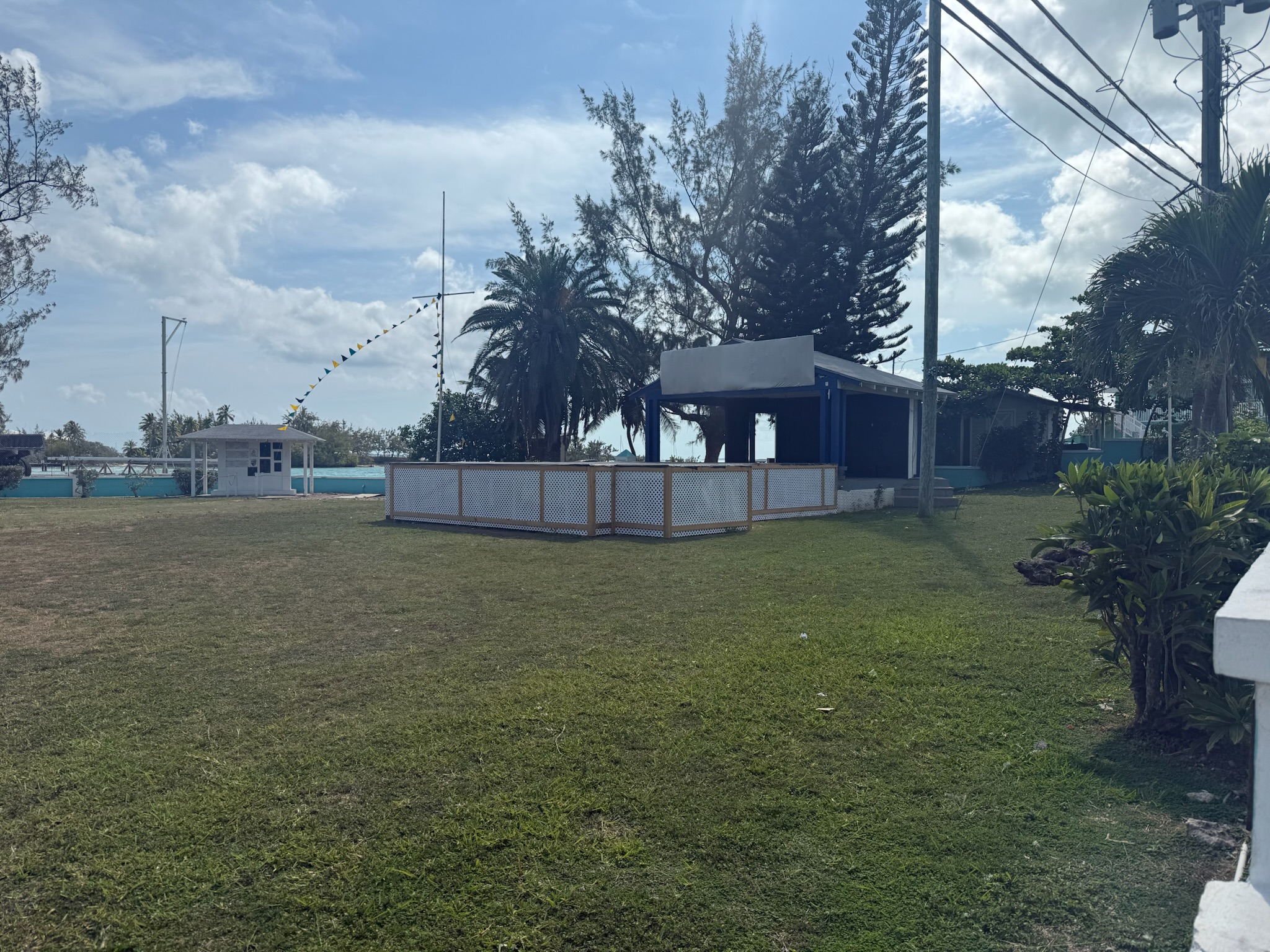
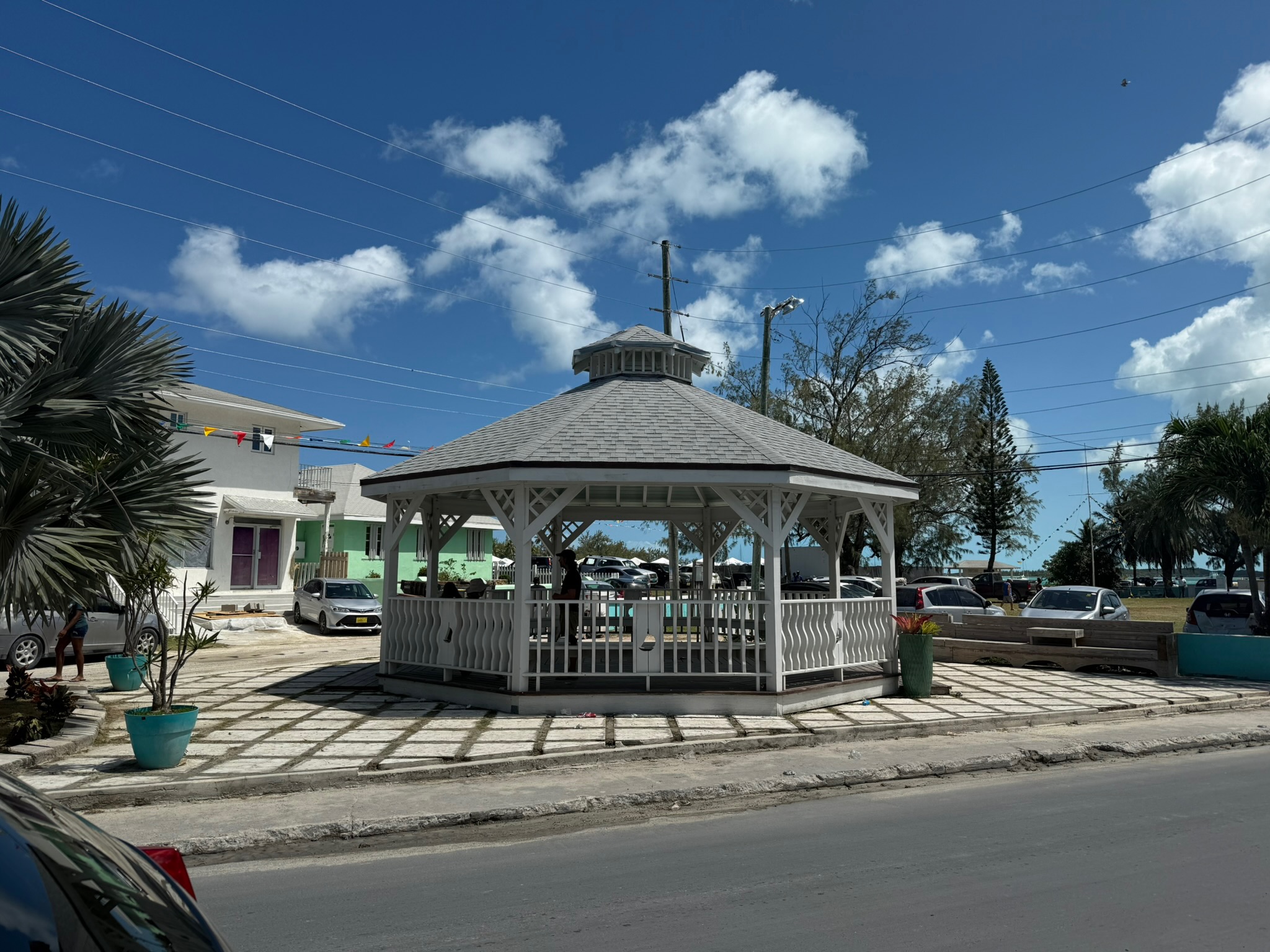
Not far beyond the scope of the above photo was a park with stage at one end and a gazebo at the other end. We’ve seen the kids from the school doing Physical Education there.
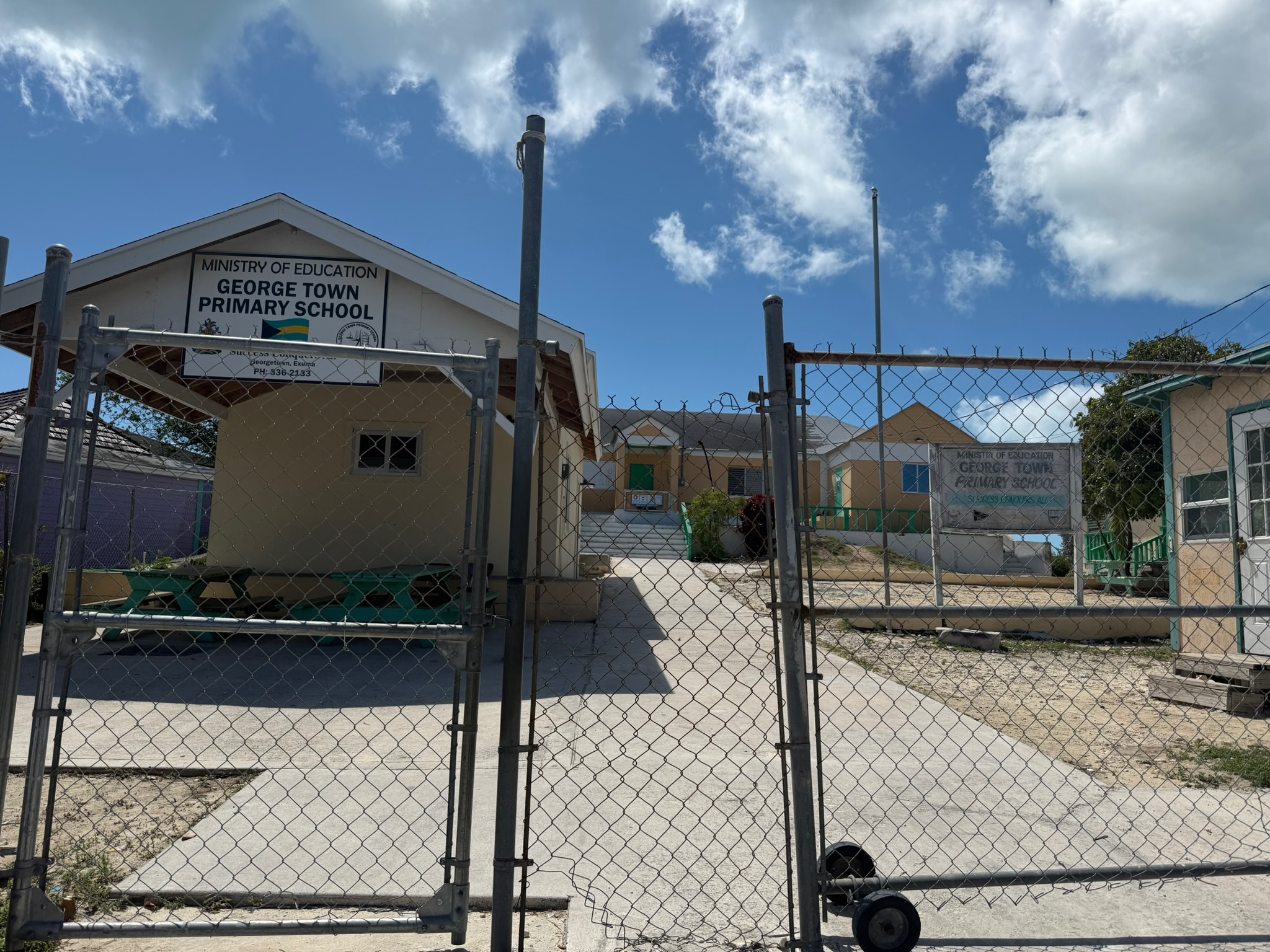
The primary school was a little north of the park
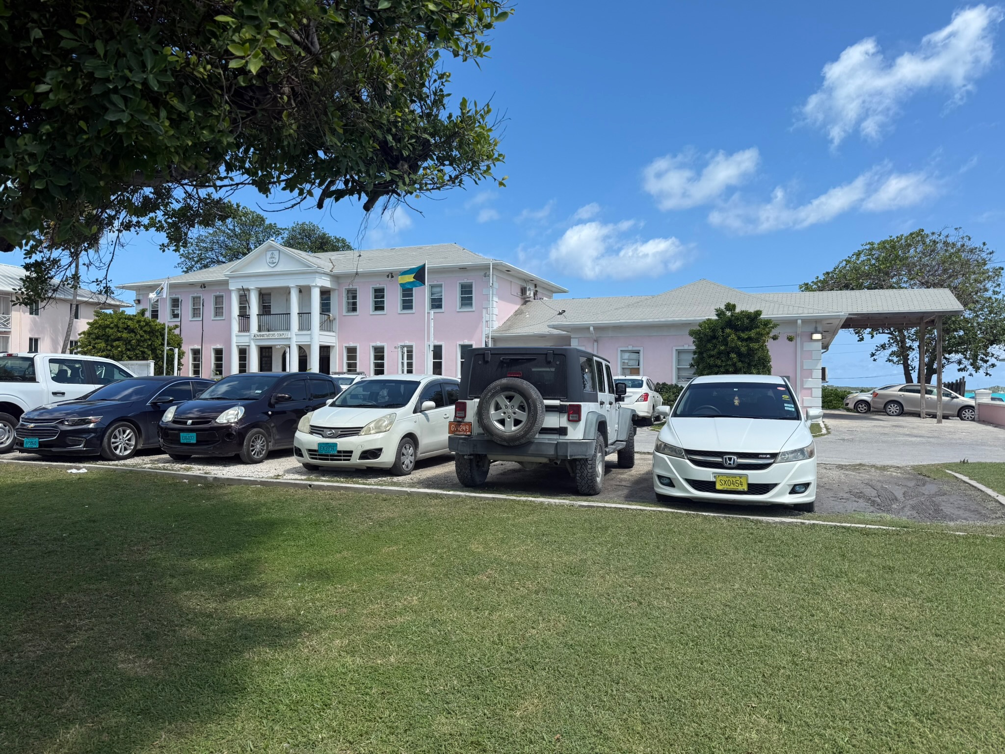
Just north of the primary school was what we assumed was a government office building
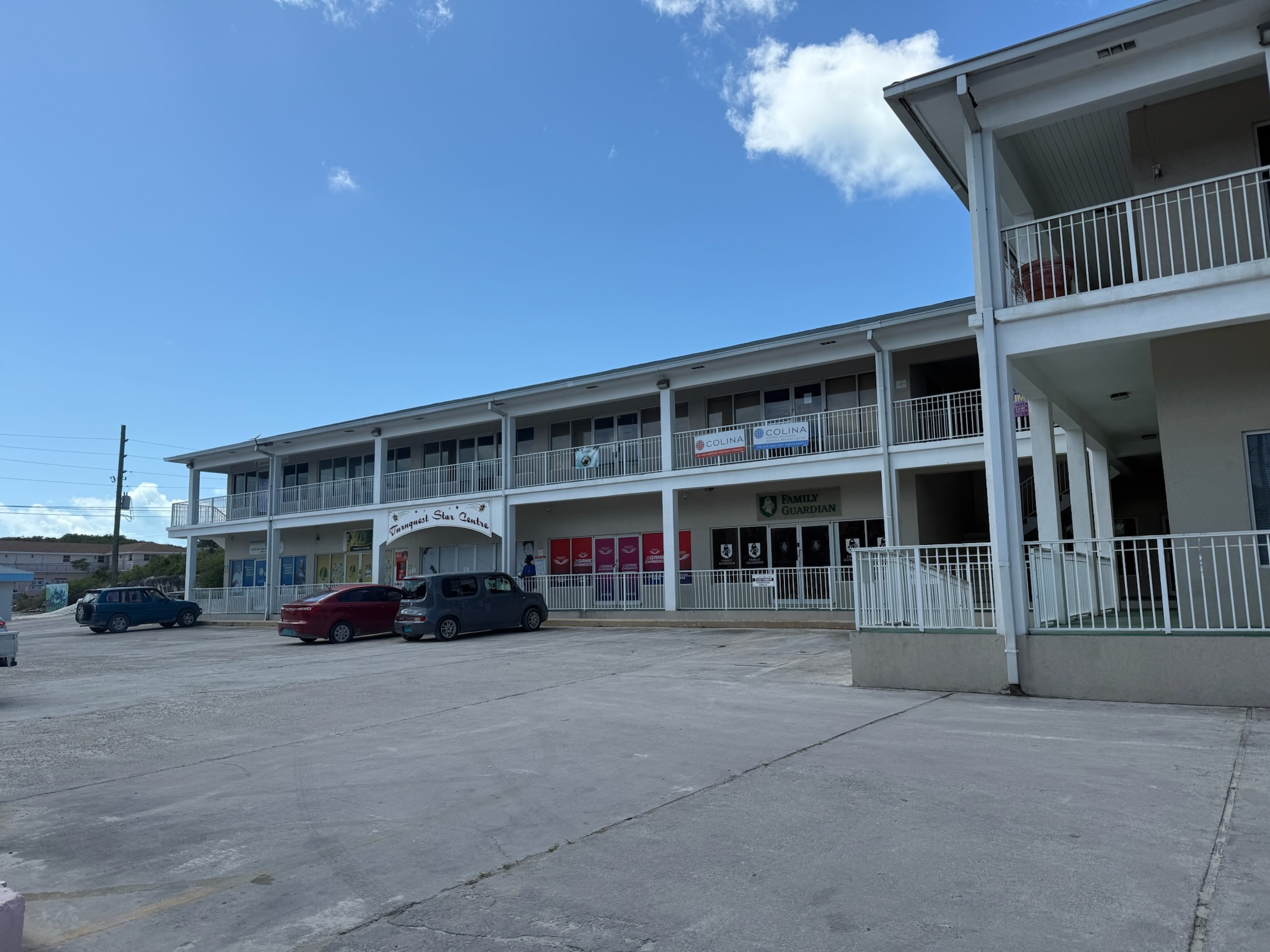
We didn’t get much farther north than this. We also didn’t do much venturing to the south of the market. This building was only a couple blocks from the market and was as far south as we’d walked.
We went back to The Sandpiper for brunch, then went to the grocery store and stocked up on supplies. Since we had frozen food, we hustled back to Kosmos.
Eric wanted to put out another 50 feet of chain in preparation for the big winds, but that would put us too close to the boat behind so. So after we returned to Kosmos, we re-anchored a little farther forward so that we had plenty of space between us and the boat behind us, even with the extra chain.
In the afternoon, Eric and Keith went to Chat N Chill beach to play D & D. Christi stayed aboard to work on her land life project. After the men returned to Kosmos, we brought the dinghy up and battened down the hatches in preparation for the storm, which was supposed to hit in the middle of the night and last for 12 hours.
Here was the sun setting behind the stuck barge.
