
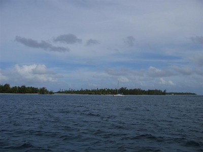
Wednesday morning we picked up anchor. It came out of the water with no problems. We headed to the south side of the island. The ride in the lagoon was calm. We hugged the east shore most of the way and enjoyed pretty views of the island.
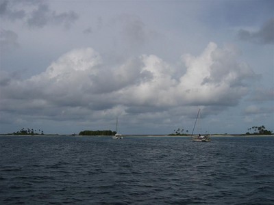
We pulled in to the town of Tetamanu in the southwest corner of the island. Like Rotoava, from where we are anchored we can clearly see a horseshoe of land. There are nine small strips of land with lots of vegetation, each separated by small amounts of low land. Like Apataki, the low lands are mini-lagoons within the main lagoon. Through the low land we can see the ocean on the other side. Behind us, in the distance, we can see the east coat of Fakarava for quite a long way before the land fades into the horizon. To our right, on the farthest strip of land clearly visible there is a metal building on stilts in the shallow water. Also to our right, but closer in, there is a small wooden building next to three small grass huts. This must be the hotel. Directly in front of us is a very small building with a tiny dock containing a speed boat. We could see no more buildings. We knew the town was really small.
By the time we were situated, we decided it was not a good idea to go to shore. We only had a couple hours of sunlight left (with the sun low in the sky, coral visibility is poor) and the wind was screaming at 20 knots (this makes the dinghy ride to shore slow, bouncy and wet).
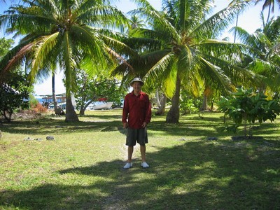
Today we took the dinghy out to explore. The little house with the boat dock in front of us turned out to be a nice hotel. All the rooms are hidden from view behind evergreens, but they have a great view out to the ocean and lagoon. This hotel is situated on a “mini-island”.
The little bungalows we could see further down are a part of a different hotel. It turns out they are also on a “mini-island”. There are several more bungalows that we couldn’t see from the boat. There is a wooden bridge that connects the “mini-island” to the next piece of land over, which is where the “town” is located.
There is a small, one person wide footpath along the lagoon that connects the two parts of the hotel together. Beyond the footpath is overgrown grass and palm trees. As we walked along the path, we saw a pile of coconuts that looked like they were ready to be dried and harvested.
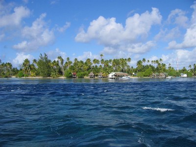
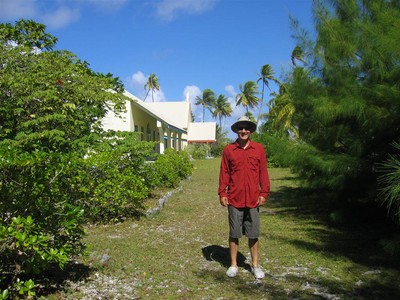
The metal building we could see is the restaurant for the second hotel. Behind the restaurant is a dive shop and several more bungalows that are part of the same hotel.
The restaurant is located at the corner where you turn into the lagoon from the south pass into the island. The “town” is located just behind this half of the hotel, in between the lagoon and ocean. There is a small one person wide footpath from the hotel to town.
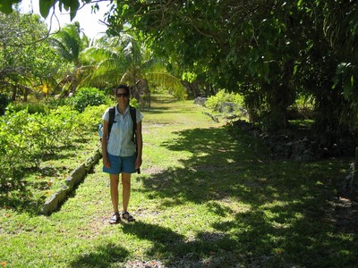
The “town” has two streets, and you can tell they are streets because the grass has been mowed, clearly indicating a walkway. One street has a Catholic church and two more non-residential buildings on one side, and a house on the other side.
The second street runs behind the church, with a handful of homes scattered on the other side. Some of the homes are clearly abandoned and some are lived in. There are two relics of burned down buildings around, and a couple concrete pads that looked as if they may have once been a house foundation. We doubt there are many more people here than employees of the two hotels.
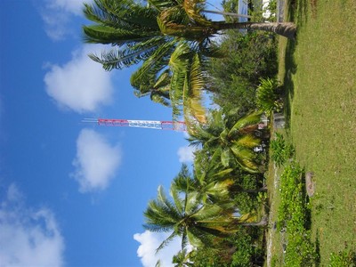
There is something amazingly charming about towns that have no capacity for cars. It is like you have gone back in time. As long as you turn a blind eye to the satellites, radio tower and solar cell panels at the side of the grass “road”.
We poked our head into the church and saw that it is definitely being actively used. It is colorfully decorated and well maintained. While we were walking around, a local introduced himself to us. He is the chef and general worker for this hotel. Normally he only cooks for the hotel guests, but invited us to come for lunch tomorrow at the restaurant. We accepted his offer.
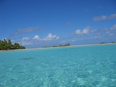
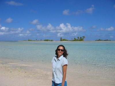
We ventured past the lagoon entrance in search of the pink sand beaches we were told about. We found the place where all the post card pictures come from. It is truly the stereotypical image of a south pacific island. The west side of the pass has very shallow water, so the entire section of lagoon is light blue-green in color. It looks like there are a string of itty bitty islands with white sand beaches and a few palm trees on each island.
We landed on a couple of “mini-islands” and walked around. The sand on these little islands is kind of pinkish, but there is still small, sharp coral rocks around requiring shoes. We did find one small stretch of beach where the rocks were minimal and the shoes could come off.
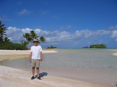
The “mini-islands” of higher land are actually peninsulas, connected on one side by sand bars or coral.
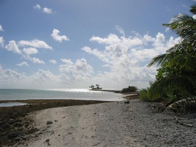
It was low tide, so we could walk out very far on the sand and coral toward the ocean. It looks like as you near the ocean the ground becomes quite solid, like in Manihi, for a good quarter mile before getting to the ocean. At low tide our feet weren’t getting wet, but we know when the tide is higher this ground will be under water.
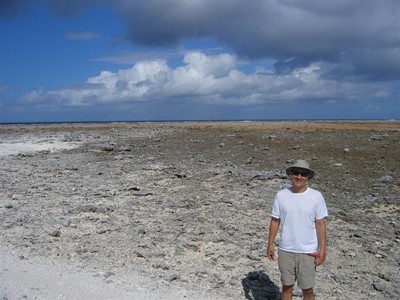
Beyond this string of tiny islands is mostly low land along the west coast of Fakarava. To the eye, it looks like an endless expanse of ocean, but yet you can see the ocean waves crashing down on the reef just like they do on the shore. It is almost surreal to look at.
The pictures are amazing. Very much postcard style.