
People will probably be surprised by how noisy it was in Refugio. In this video of sunrise on Sunday, September 25th, you can hear the fish doing whatever it is fish do while the sea lions barked vigorously from their island (2 miles away). Sometimes the fish get so loud, it sounds like a rainstorm!
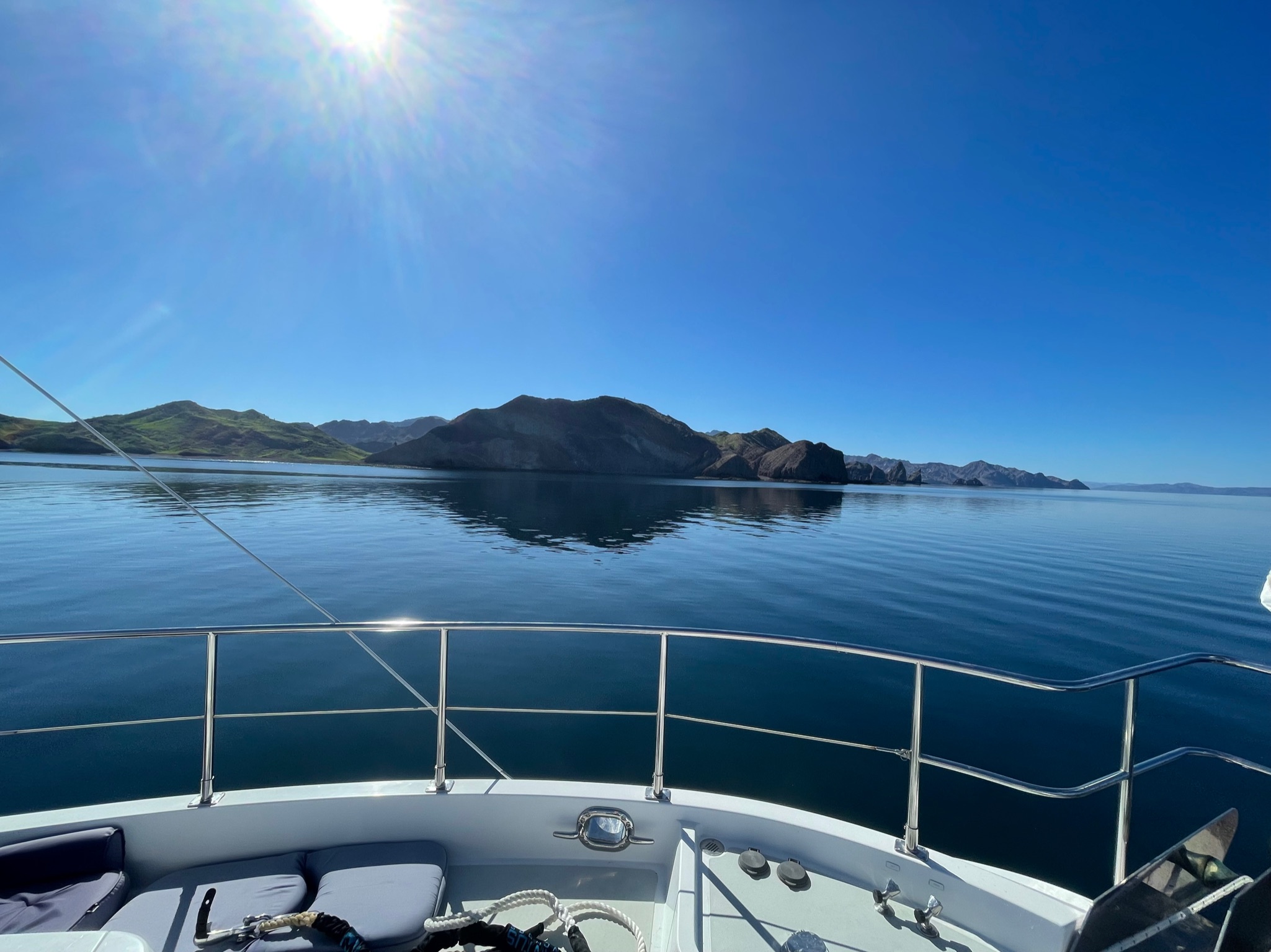
The winds were forecast to change tomorrow to be coming from a direction which would make this anchorage uncomfortable. So at around 0830, we lifted anchor and set off for the Bahia de Los Angeles area. We hadn’t decided exactly which anchorage we’d go to, but there were several in that area that would offer good protection from the new wind direction.
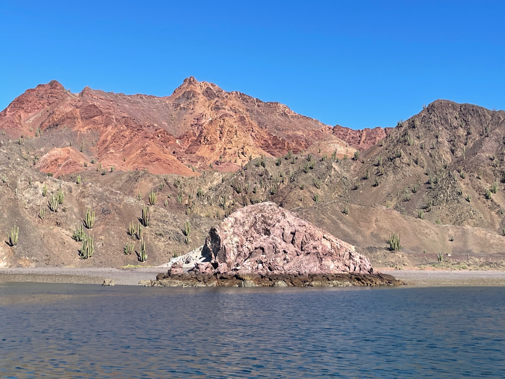
We took a detour over to the sea lion island. It was low tide, which meant we couldn’t get in as close as we would have been able to at high tide, but we could get close enough to see the sea lions onshore. Here is a closer in view of the whole island.
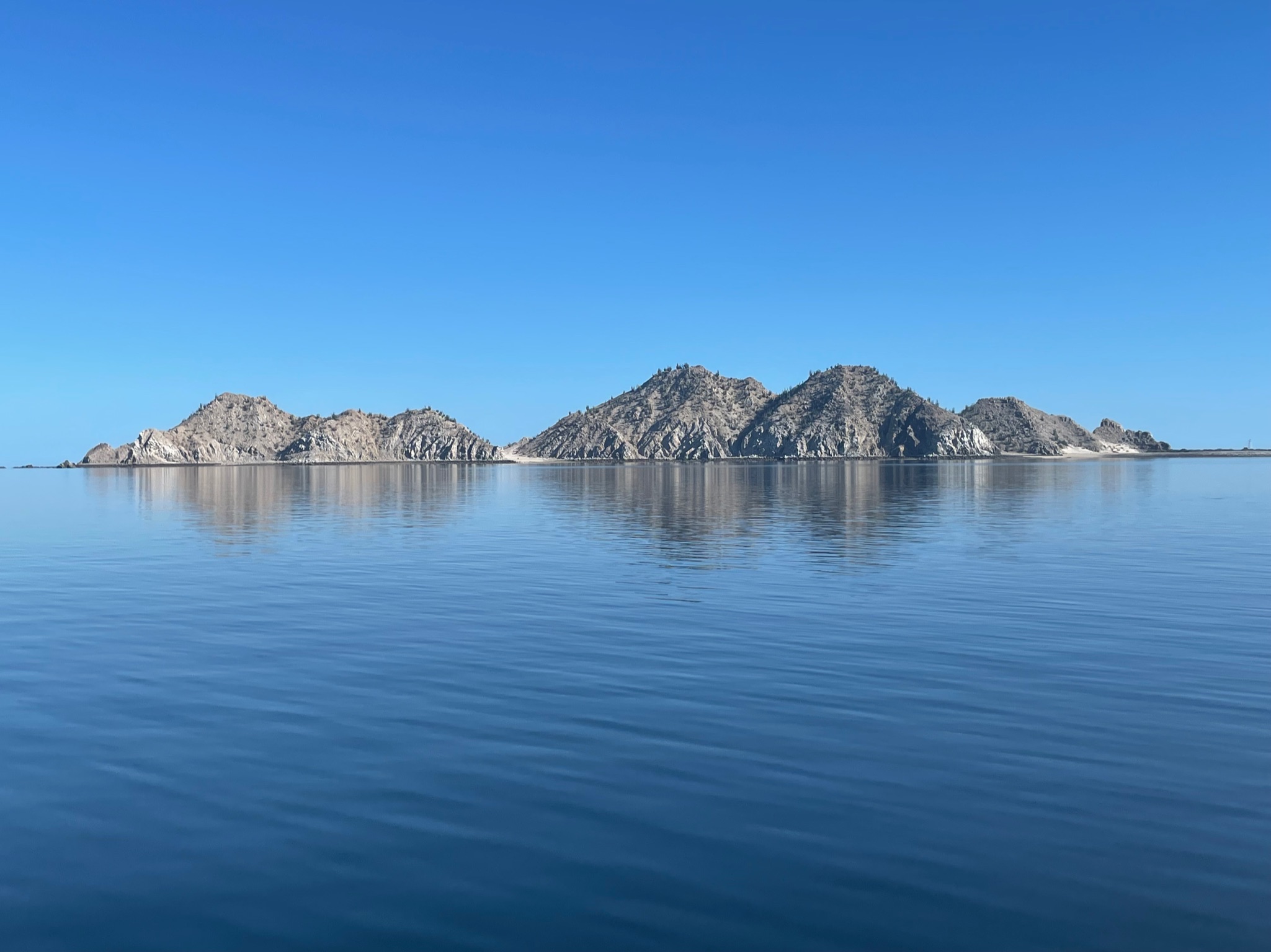
For as loud as the sea lions were, we were expecting to see hundreds of sea lions. We saw a total of ten. We figured the majority of them must be hanging out on the other side of the island. We were disappointed; In San Diego, we usually saw dozens upon dozens of sea lions every time we went out into the bay.
There is an island to the northwest of Refugio, called Isla Mejia. There is a narrow channel between Mejia and Refugio. When we came into Puerto Refugio, we’d gone around Mejia, which is a longer route than cutting through the channel. The reason we’d made that choice is because the charts we have for this area are not high resolution. This area has a lot of random rocks lying beneath the surface, so it can be a little nerve wracking to travel in an area where there are potential dangers. So we’d picked the safer route.
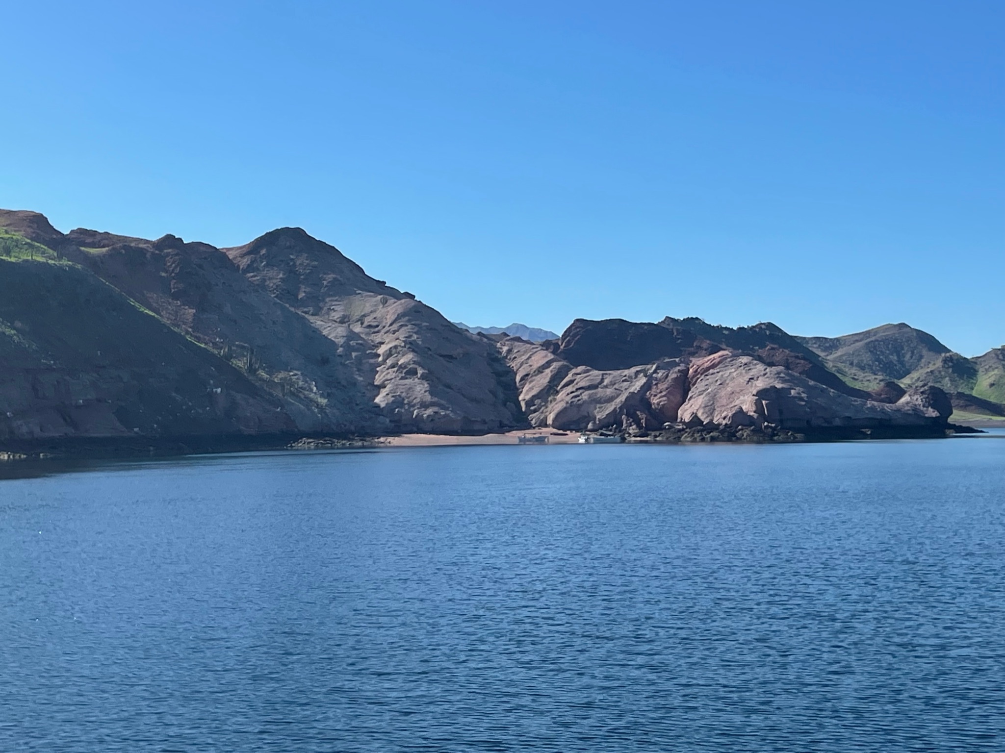
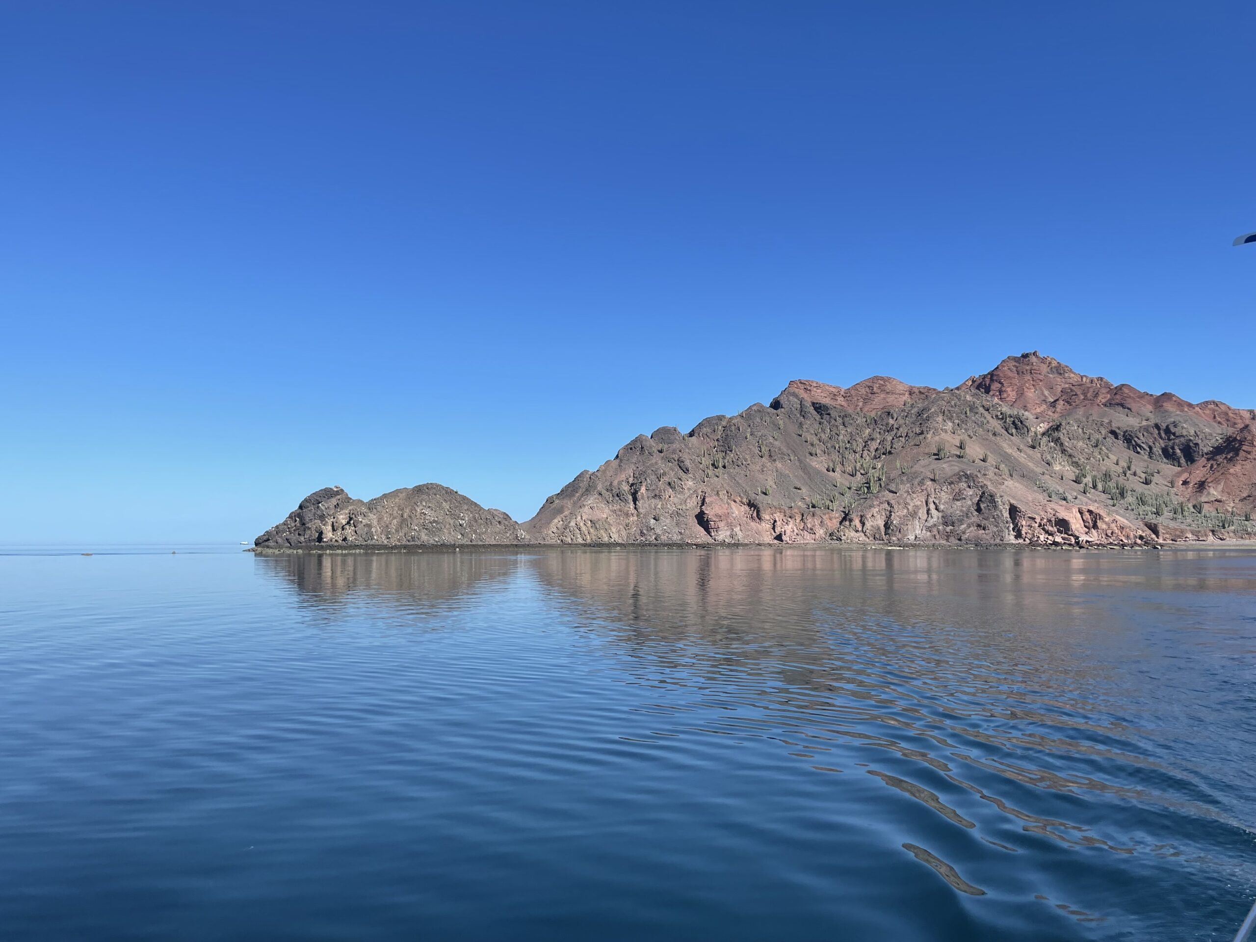
However, the area in the channel is also supposed to be the most beautiful part of the island, and we did want to see the pretty scenery (and save time by taking the short cut). So this time, we did cut through the channel. As we mentioned in the last post, on Thursday, Eric had scoped out the channel out by dinghy. He’d also intently studied satellite images from Google Maps and Apple Maps. He was feeling confident that we could avoid any rocks. Here is a picture of the channel entrance, taken from seal lion island (looking southwest).
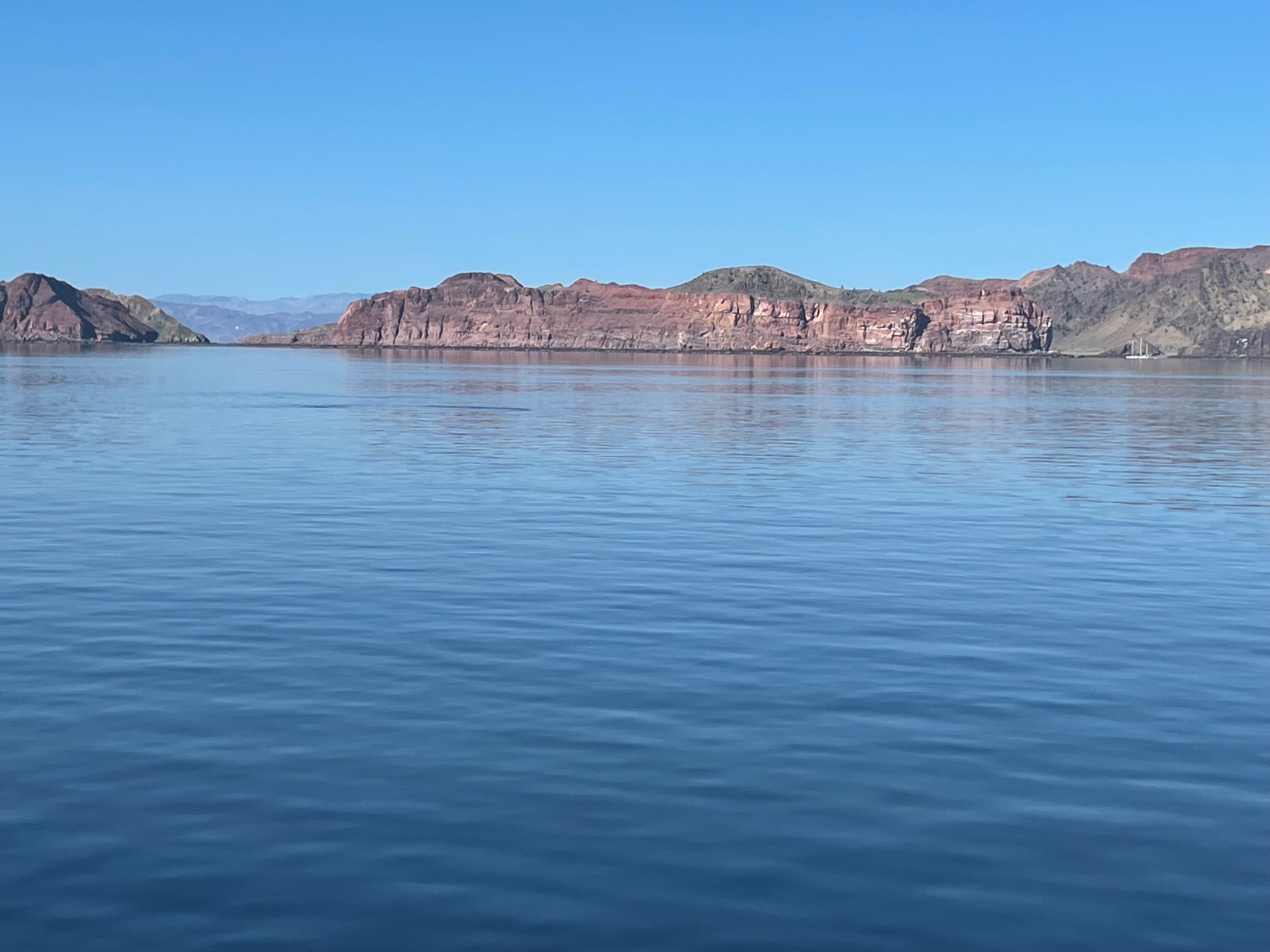
As we neared the channel entrance, we could see two boats anchored along Mejia and the famous rock, called Sail Rock, which is just beyond the exit of the channel.
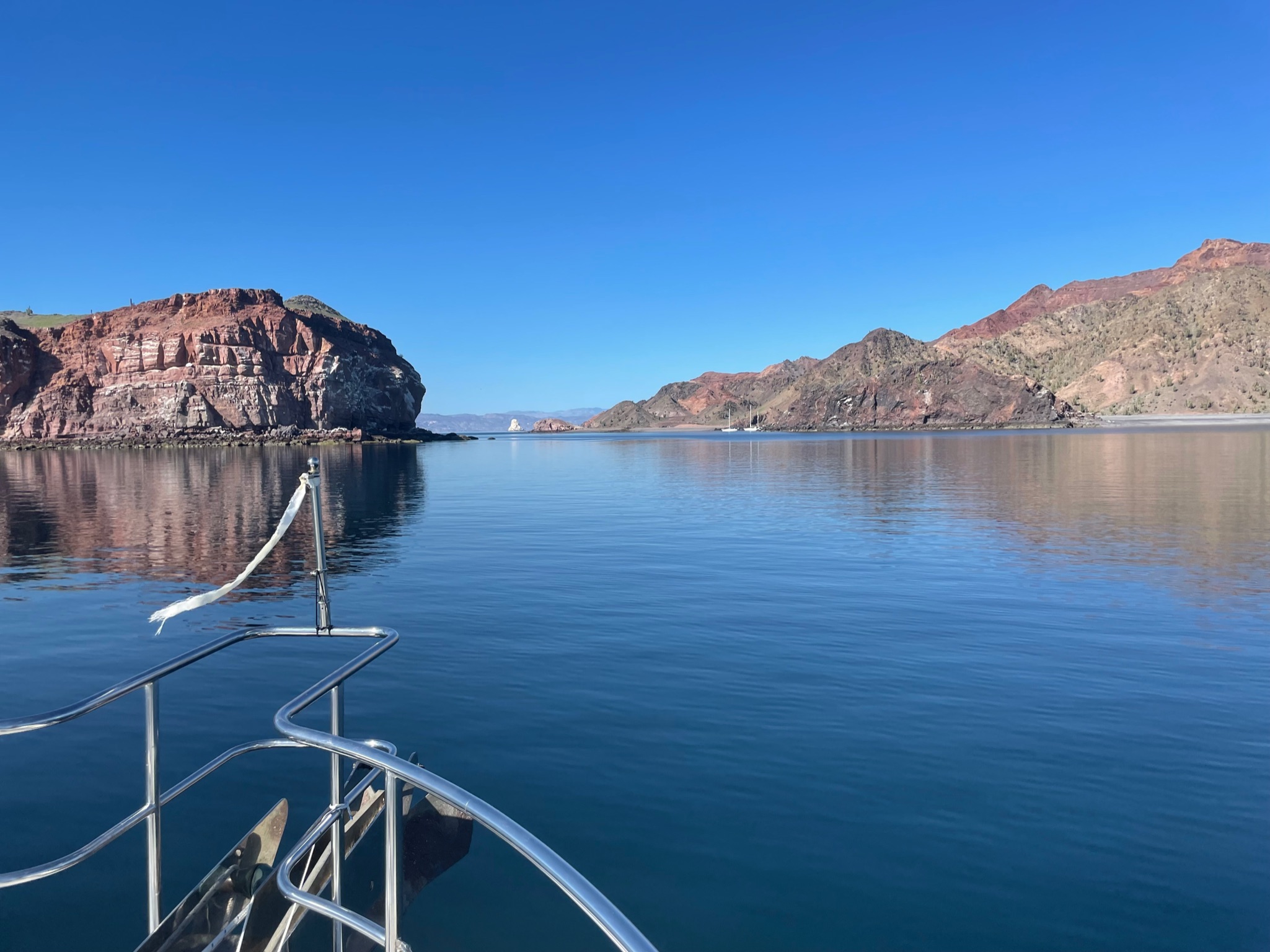
Here is a look back at where we’d been anchored, taken from the channel entrance.

We’re now inside the channel; its narrow and rocky on both sides.

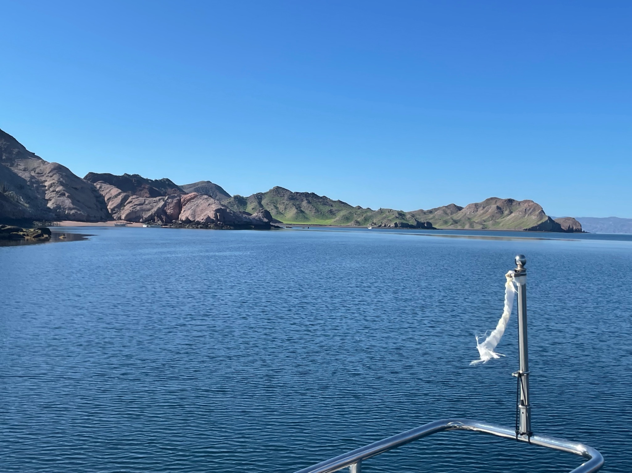
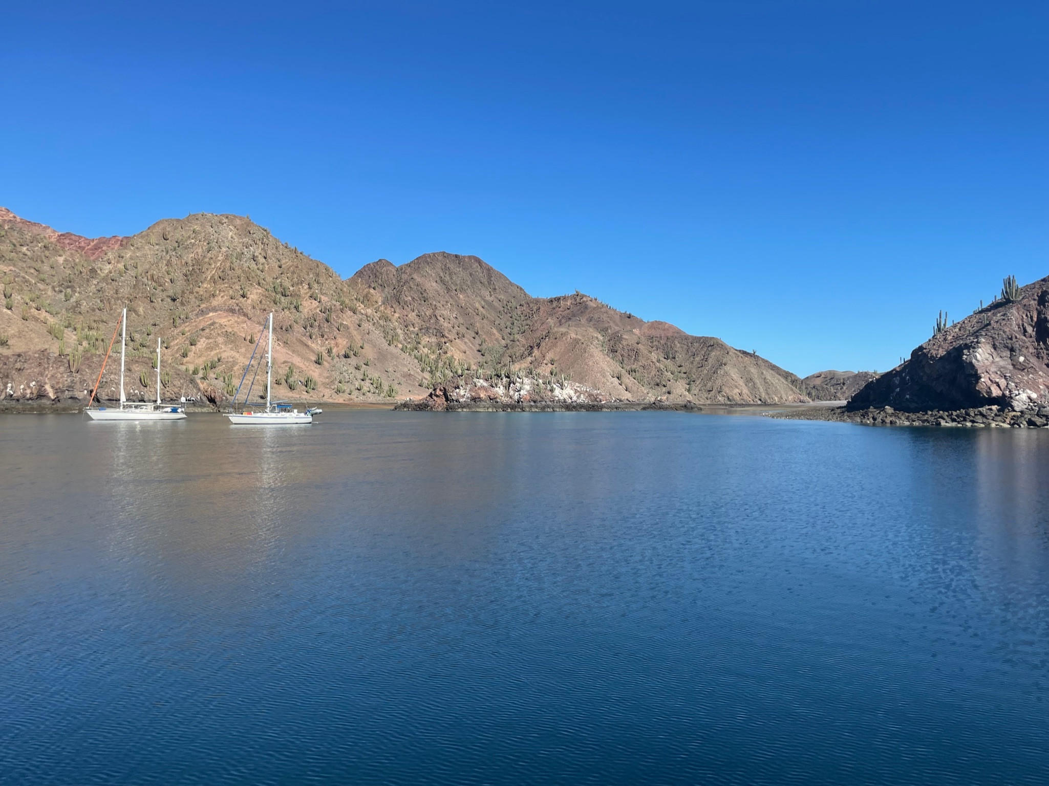
We’d mentioned that Refugio’s anchorage was naturally divided into three by rocks. The green patch to the left is the west anchorage, and there is a boat in it.
There was a little cove on the Refugio side with some fishing pangas.
The little cove on the Mejia side where the sailboats were anchored.
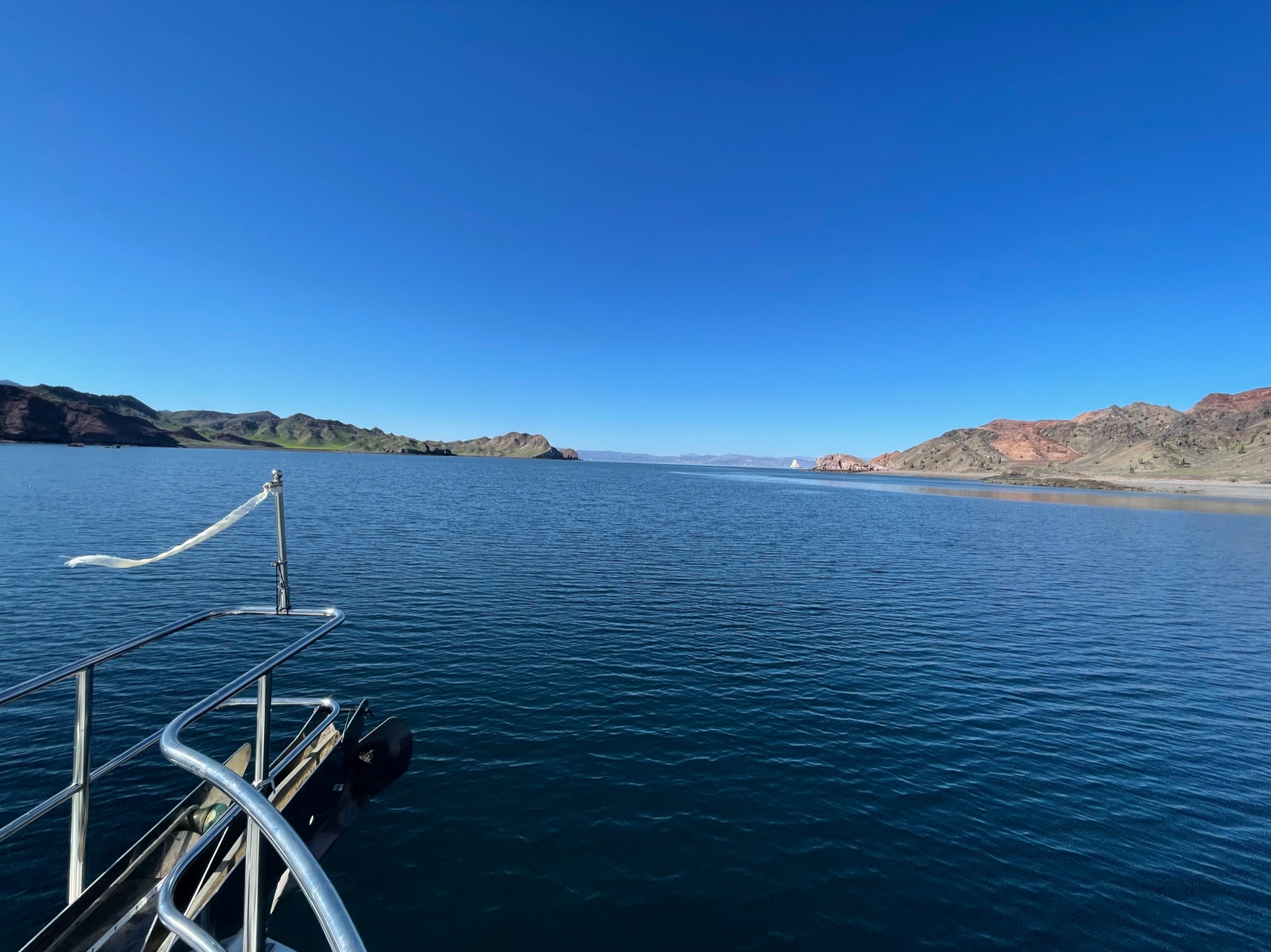
Clear view of the channel to the end.
This is the rocky spot between the middle and east anchorages where we’d gone snorkeling on Thursday and Friday.

Looking back at the part of the channel that we’d already traversed.
Close up of the Mejia side. Not nearly as green as the Refugio side.
Refugio side. The large rock at the right is very close to the end of the channel; at this point the island begins to curve to the south

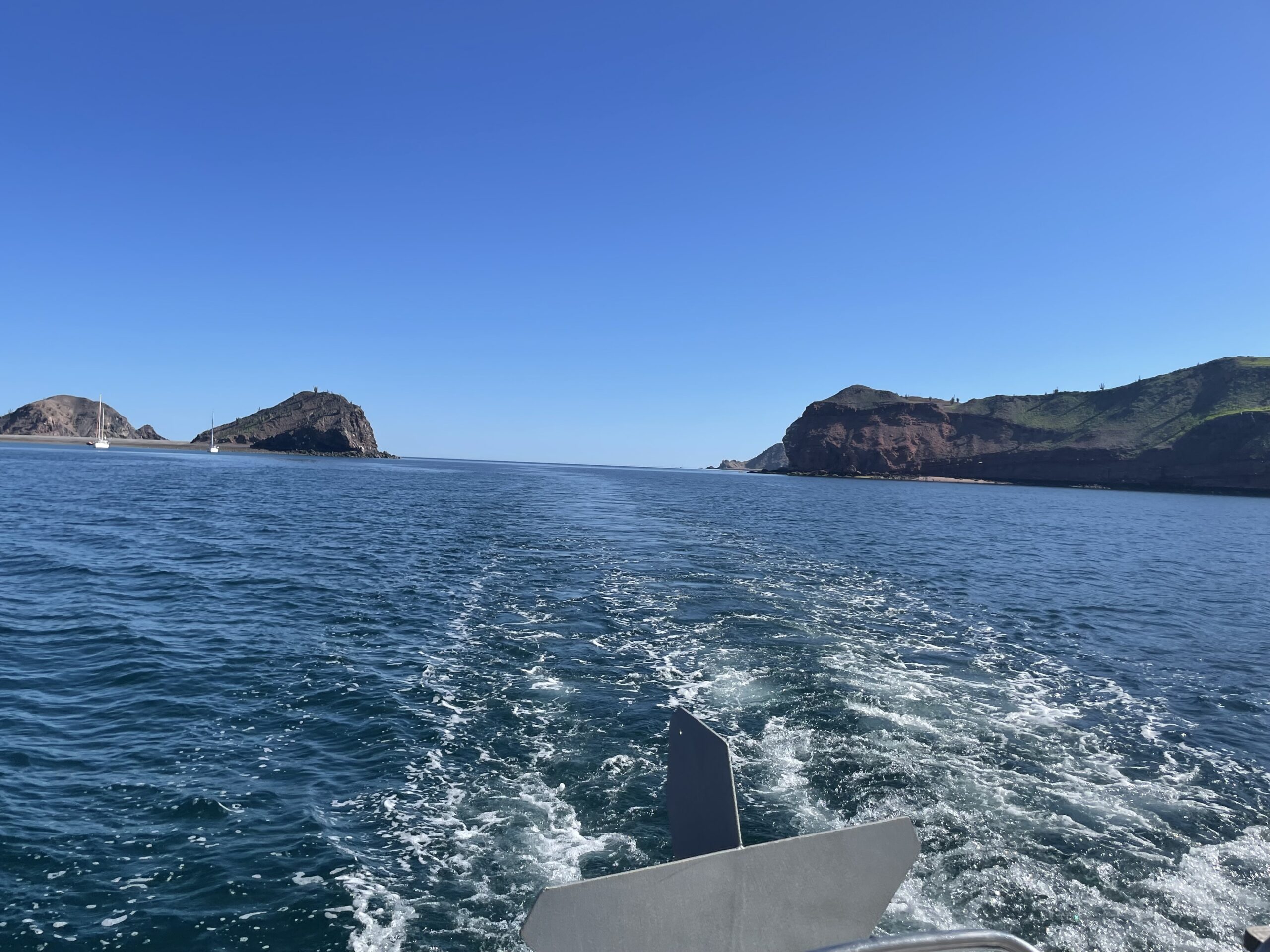
Tip of the Mejia side; we’re now at the very end of the channel.
A shot of the northeast corner of Refugio
Sail Rock, which is not far beyond the channel end.

The ride through the channel went smoothly. Actually, the entire passage went smoothly. The sea was glassy and calm for the majority of the ride. It was so calm that the ocean melted into the horizon.
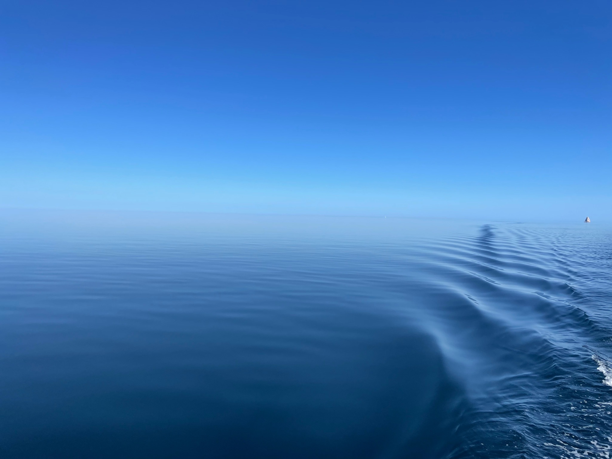
Unfortunately, the current was unfavorable and made us go painfully slow.