We left for Bahia Concepcion at 0815 on Wednesday, October 12 . The trip took 8.5 hours. The seas were mostly calm and it was a smooth ride.
We are pleased to report that we rolled up 40,0000 miles on this passage! Eric has been onboard for every mile. Christi has been onboard the vast majority of the miles. There were only two major trips that Christi has missed: in 2006, when Eric took Kosmos to Ensenada while Christi drove down in the car and in 2017, when we took Kosmos up to San Francisco Bay for the second time (life was busy for us then and we didn’t have time to blog).
Bahia Concepcion was a large bay with several anchorages, and each anchorage was better in some weather conditions than others. Eric was having a hard time choosing which anchorage to go to because the weather forecast indicated that the wind direction would change often and drastically. No matter where we went, there would be periods of discomfort (unless we constantly moved, which wasn’t going to happen). In the end, he settled on Playa Santispac for a couple of reasons: 1. It offered good protection for the majority of the time and 2. There were a couple of restaurants.
Unfortunately, the charts for Bahia Concepcion were not accurate, so Eric hand entered the waypoints into the navigation system based on the information we got from the cruising guide and satellite images. The majority of the trip, the navigation was pretty straightforward, but in the area around Santispac, there were several picturesque tiny islands and couple dangerous low-lying hazards.
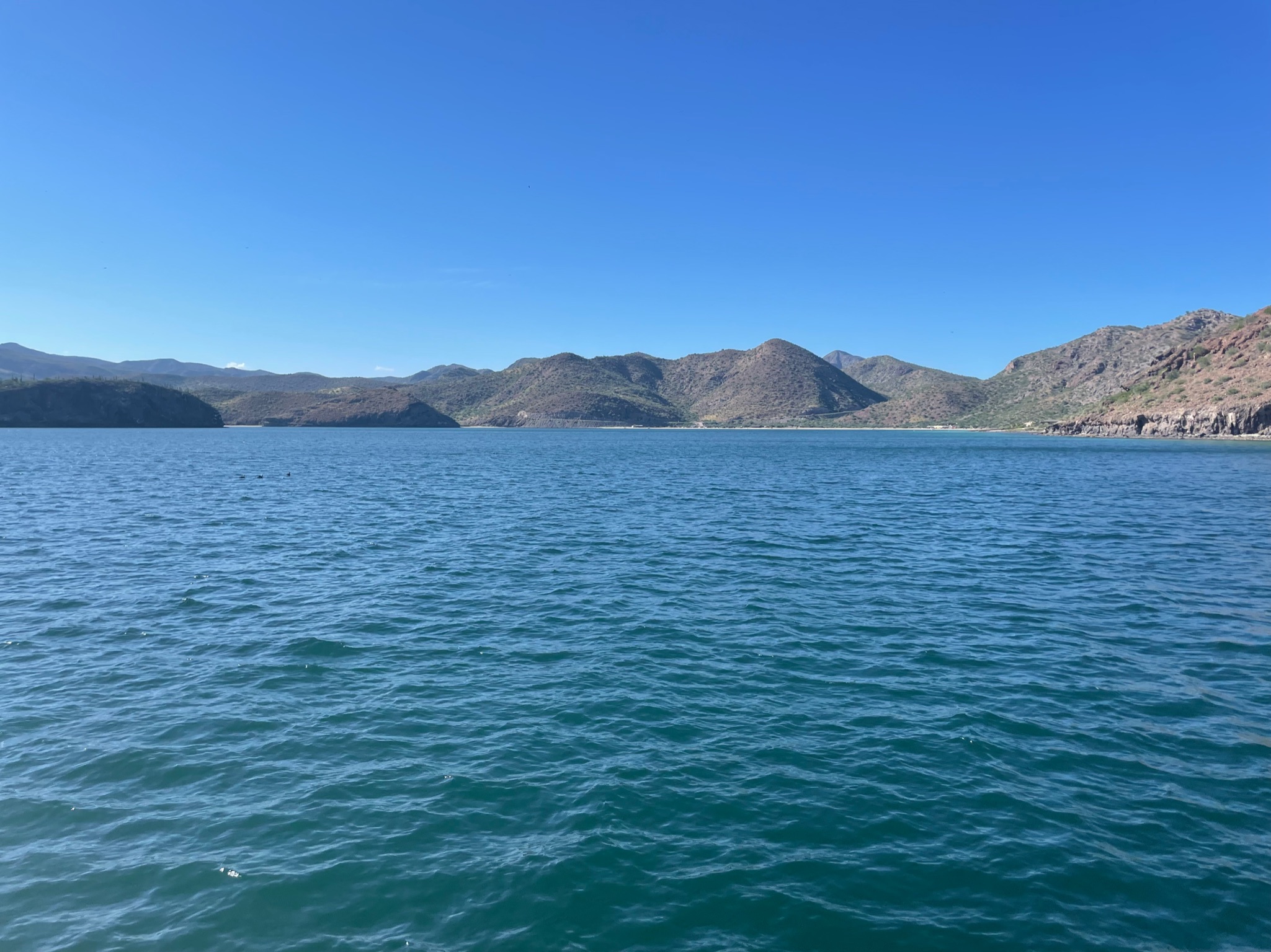
Here is a photo taken from the mouth of Bahia Concepcion looking south into the bay. The bay curves, so you can’t see it all from the mouth.
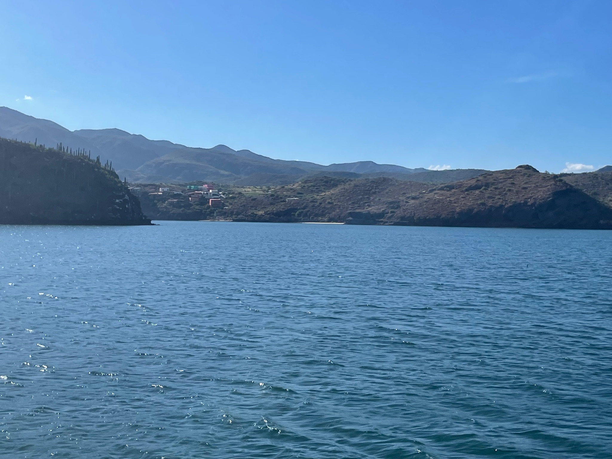
We rounded Punta Piedrita, a little peninsula which separated the main part of Bahia Concepcion from the cove that Playa Santispac was in. Looking into the cove from the edge.

We dropped anchor relatively close to the northwest corner of the cove. To the north, there was a small cluster of houses on the peninsula. To the west was a large beach with a few structures. The cruising guide had indicated this was a campground that also had restaurants. Southeast of us were a couple of tiny islands. The cove continued south for a ways, and we could see more homes along the shore down there. In this photo you can see part of the island closest to us (left( and part of the southern part of the cove (right).
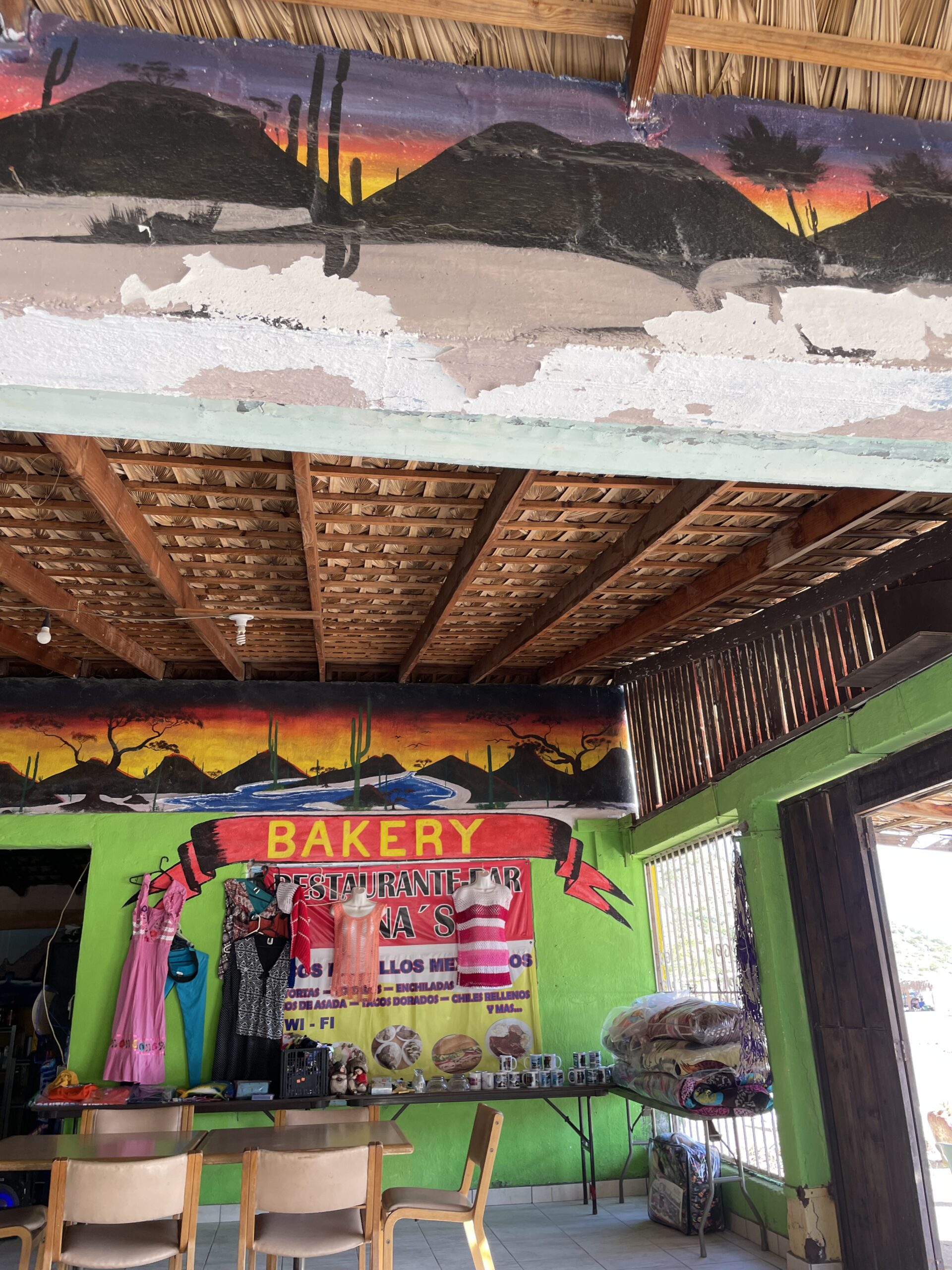
After we got Kosmos situated, we got the dinghy down and went to the restaurant on the north end of the beach, called Ana’s, for dinner.
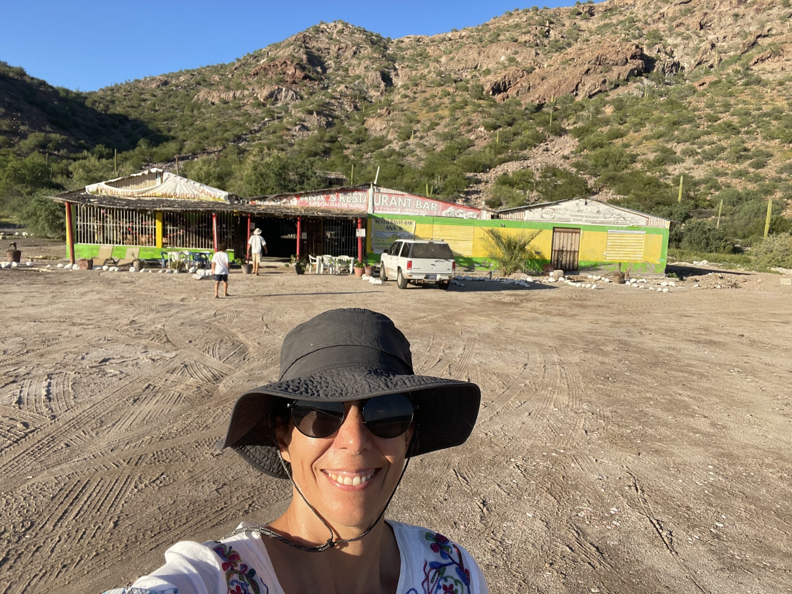
The roof was made of palm fronds, and there was no glass in the windows on the east and west sides. It was made to be a wind tunnel. The interior was cheerfully painted with some desert scenes and some ocean scenes. Part of the building was a small market that sold souvenirs and things that campers may want, such as blankets and beer. The teen-age waiter looked just like the photo of the founder, Ana, who started this restaurant in the 1970s. He told us she was his grandma.
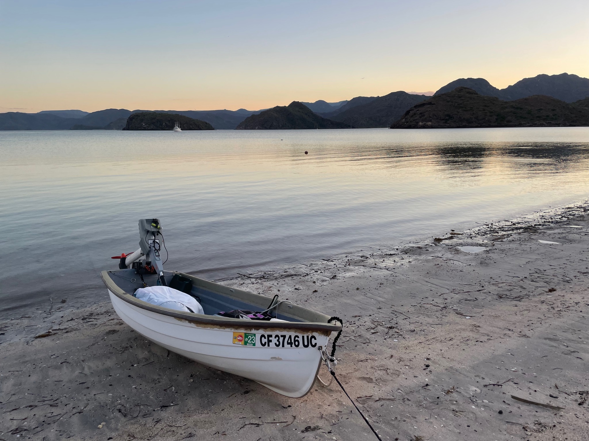
It was another roasting hot day, so we went straight back to the boat after dinner. Here is a shot of the dinghy with Kosmos in the background.
Here is a photo of Eric and Keith standing near the dinghy. The camera is looking north at the campground. There is a little palapa covering each campsite.

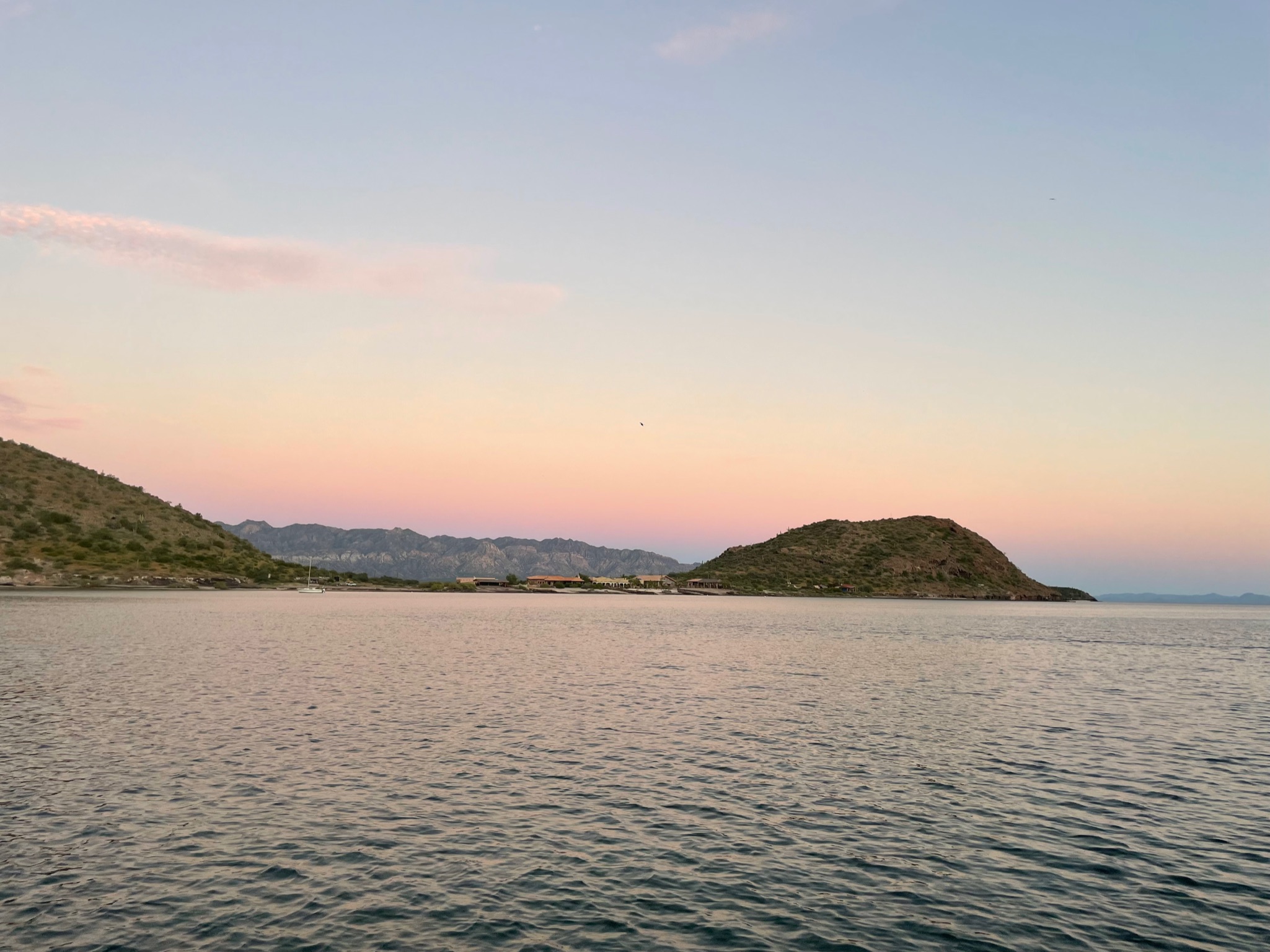
Here is the sunset, looking at the little cluster of houses on the peninsula to the north.