On Monday (October 31), at about 1030, we left for an anchorage called Bahia Agua Verde. It was a four-hour ride, heading south. Before leaving, Christi and Keith gave Kosmos a quick wash down. Keith was really happy about it.
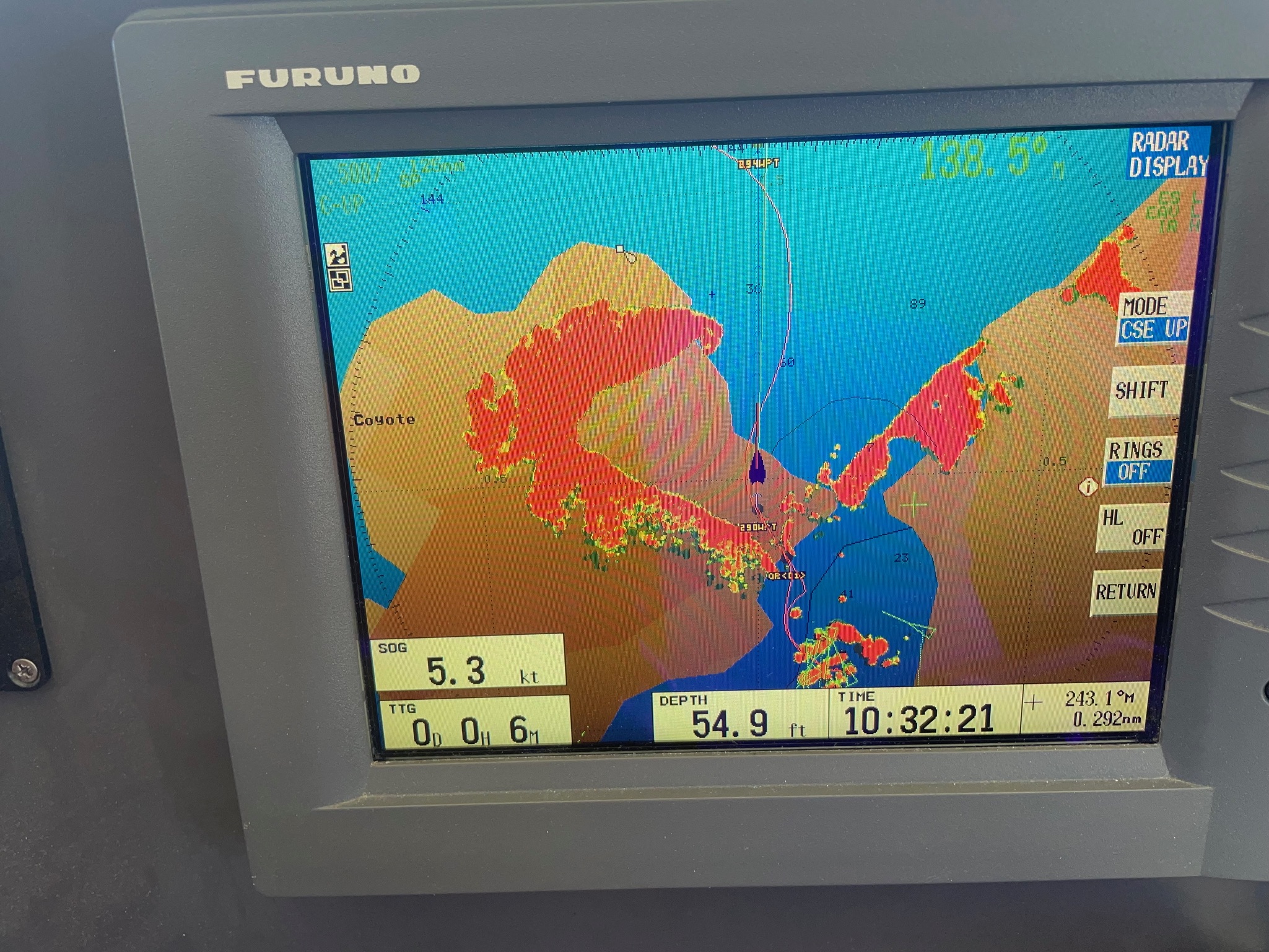
We’ve mentioned that the charts for the Loreto area are inaccurate more than once. Here is the chart of us in the channel as we were leaving Puerto Escondido. Eric had set the offset a different zoom so things are quite shifted at the zoom level on the picture. Good thing we did that upgrade to amphibious vehicle before we left San Diego! 😉
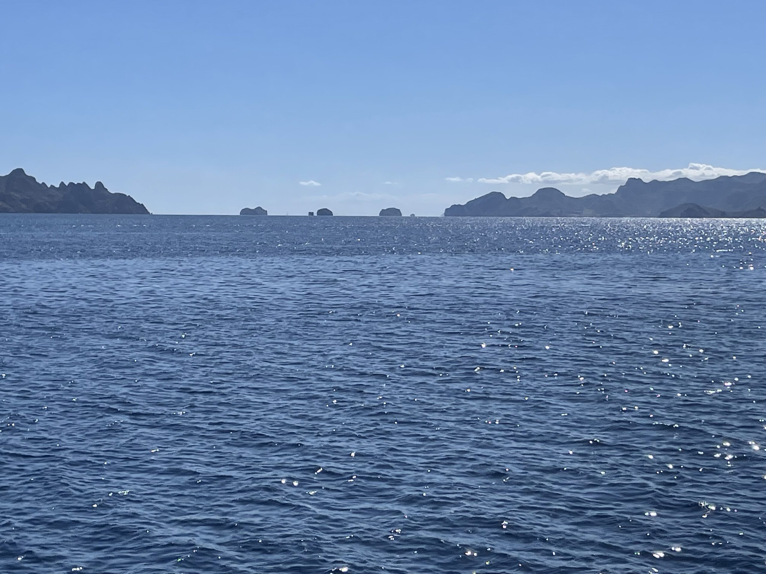
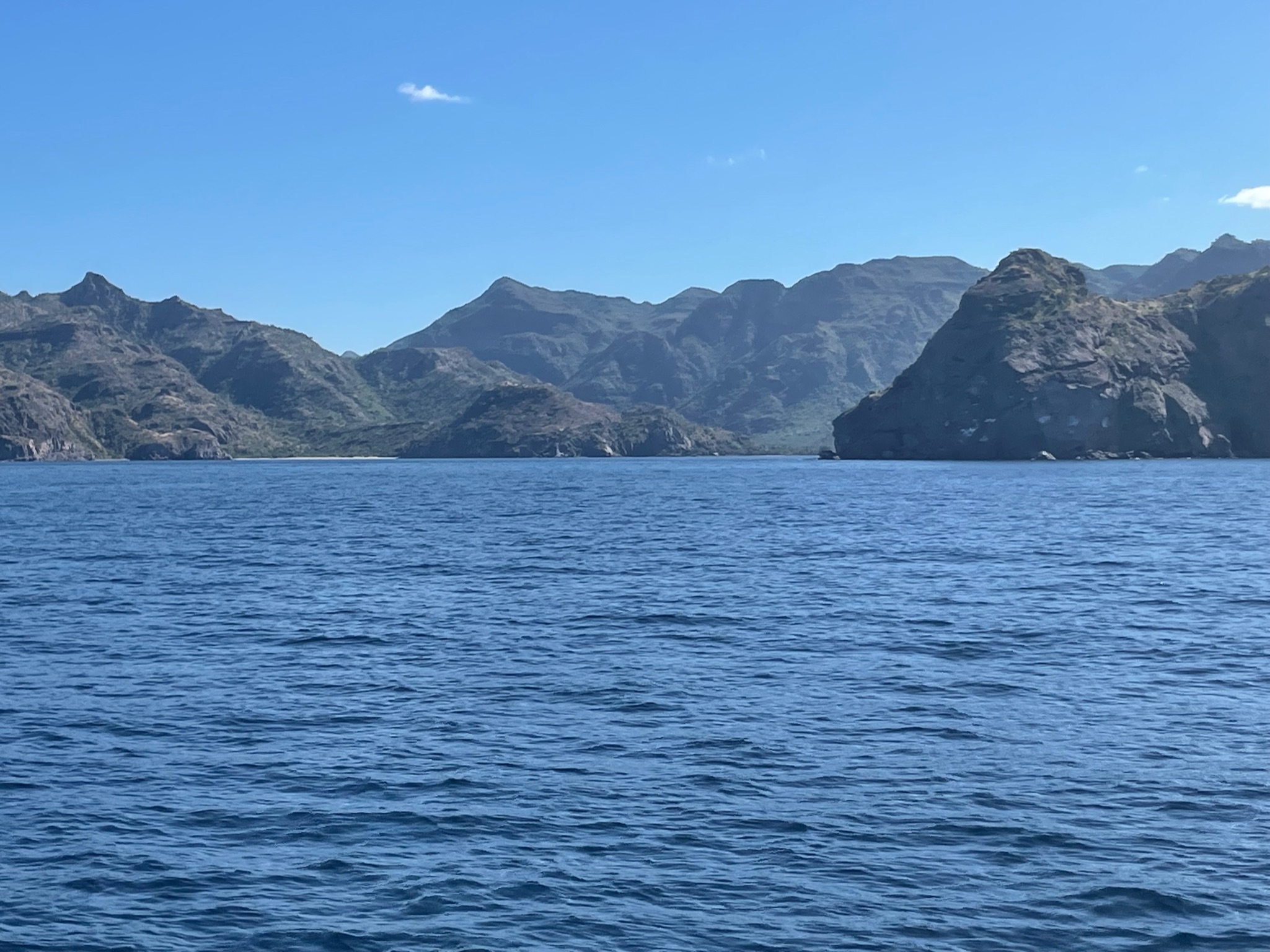
The seas were calm and smooth. The scenery was picturesque, but you can imagine why it was stressful for Eric to navigate in waters dotted with hazards that are not properly marked on the charts.
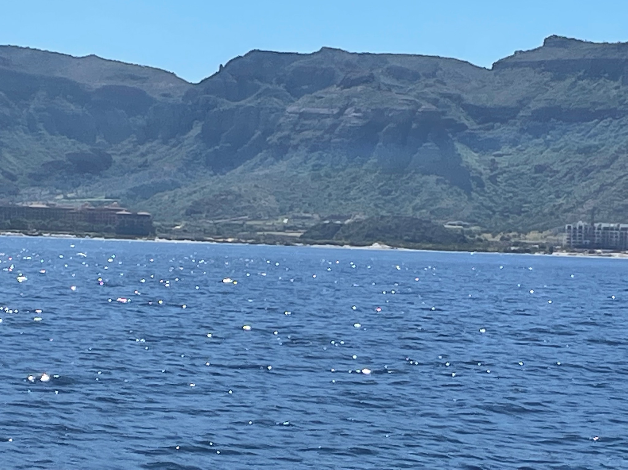
As we passed Candeleors Bay, we noticed a second hotel that hadn’t been there in July (the one to the right is the new one).
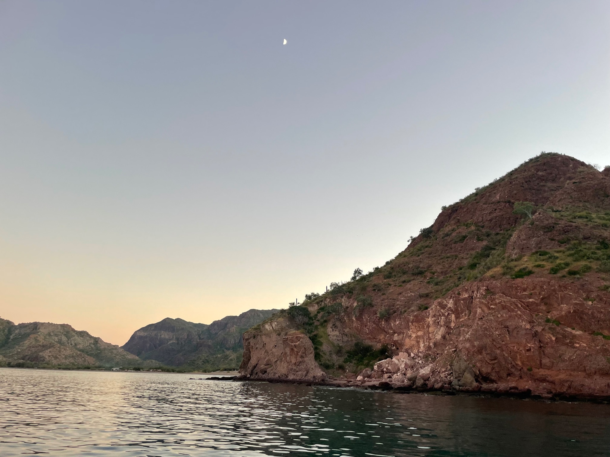
Here was the entrance to Bahia Agua Verde (we are looking south). From this angle, the mountain to the right looks like it’s attached to the land, but it’s actually two separate rocks connected to the mainland via a sandbar, much like Don Juan and Puerto Escondido.
We were disappointed to find that there were already four sailboats tucked behind the rocks, which is the part of the anchorage that is the most protected from the upcoming north winds.
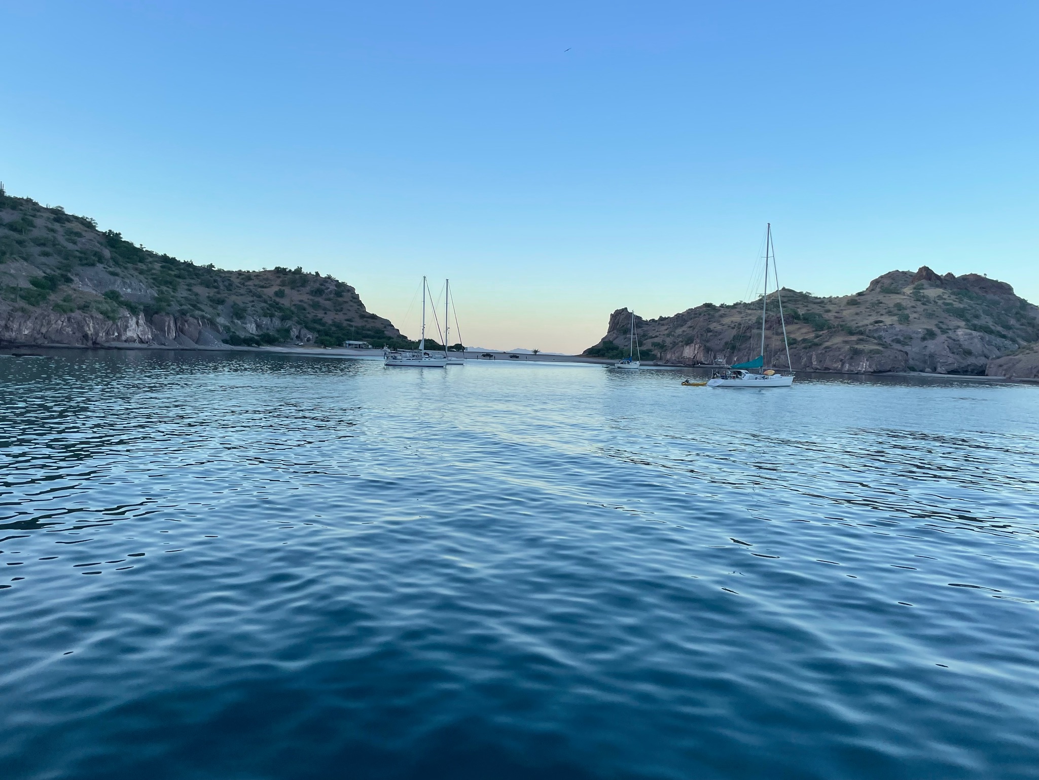
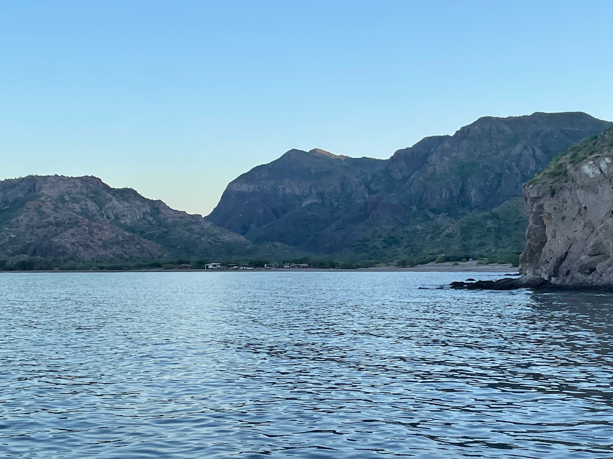
We dropped anchor to the south of the sailboats. We still had good enough protection, just a bit open to the east and to wrap around swells from the north. Here is a view of the town from where we were anchored.
Even though we arrived well before sunset, we didn’t get dinghy down. Christi was feeling really sick now and didn’t want to go anywhere. The men decided to stay onboard with her. The moon rose well before the sun set and was bright even in the daylight.