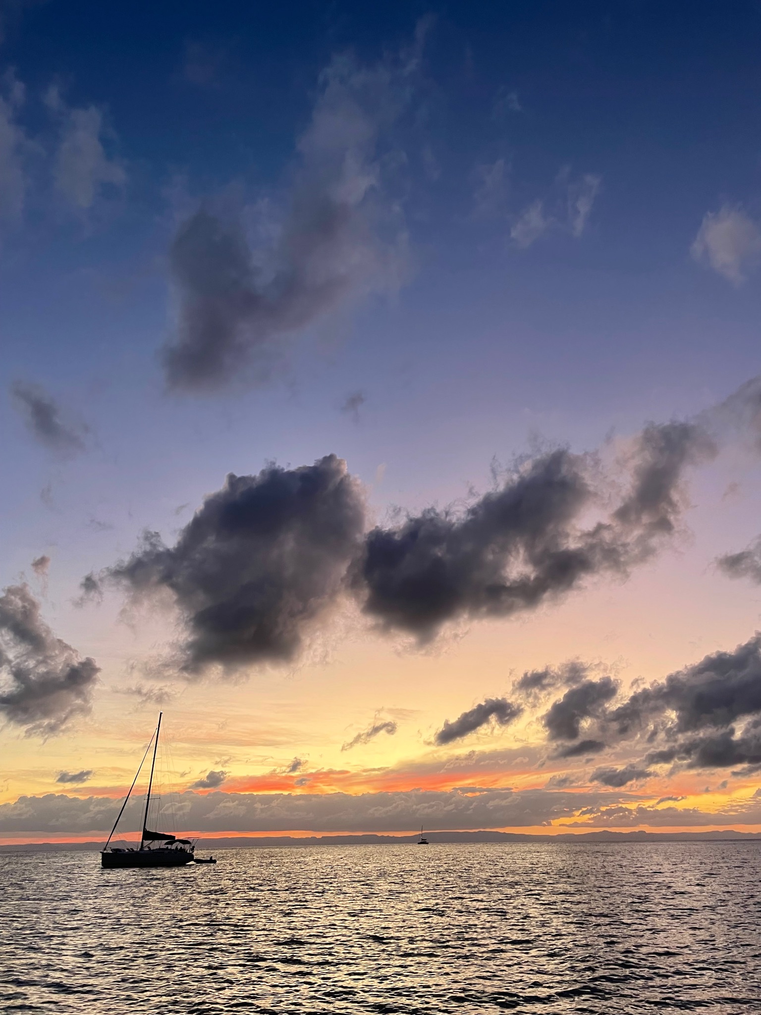
Sunrise on Monday, November 14
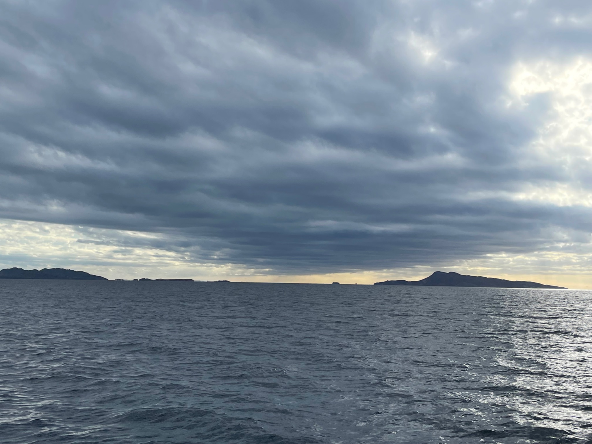
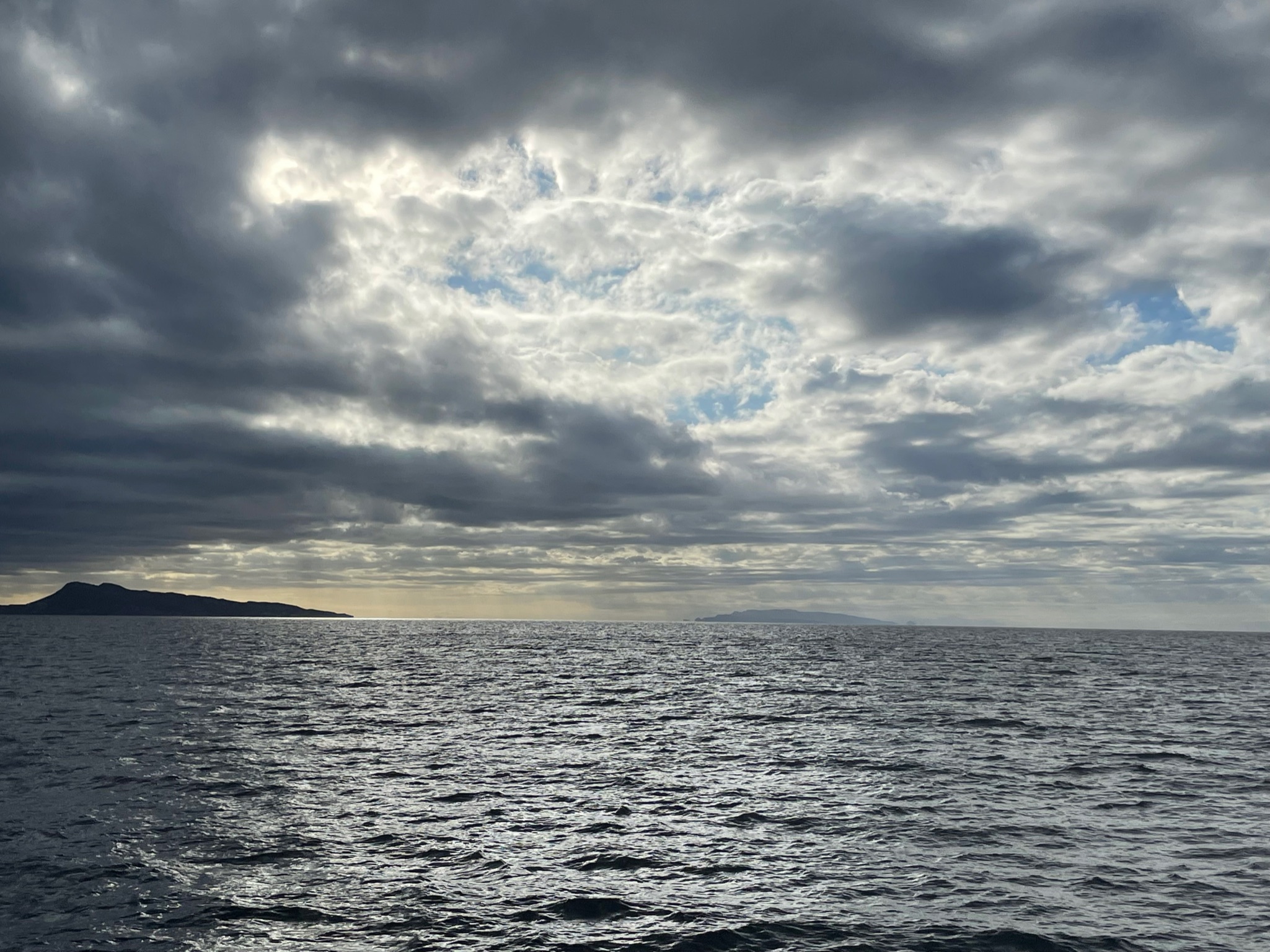
We left at 0800 for Ensenada Candelero on Isla Espiritu Santo. We were frustrated to find that the exhaust leak is back. 🙁 The sea conditions were smooth overall, though there were enough small waves that we ran stabilizers. It was a 5.25 hour trip. To give you a sense of distance between the islands, here are two photos that we took shortly after leaving San Evaristo. They could almost be knit together into a panorama. The first photo is of the southern tip of Isla San Jose on the left and Isla San Francisco to the right (the rocks in the middle are the hazard we mentioned that Eric had manually entered into the chart). The second photo is Isla San Francisco on the left and Isla Partida in the back, middle. Isla Partida is so close to Isla Espiritu Santo that they almost touch.
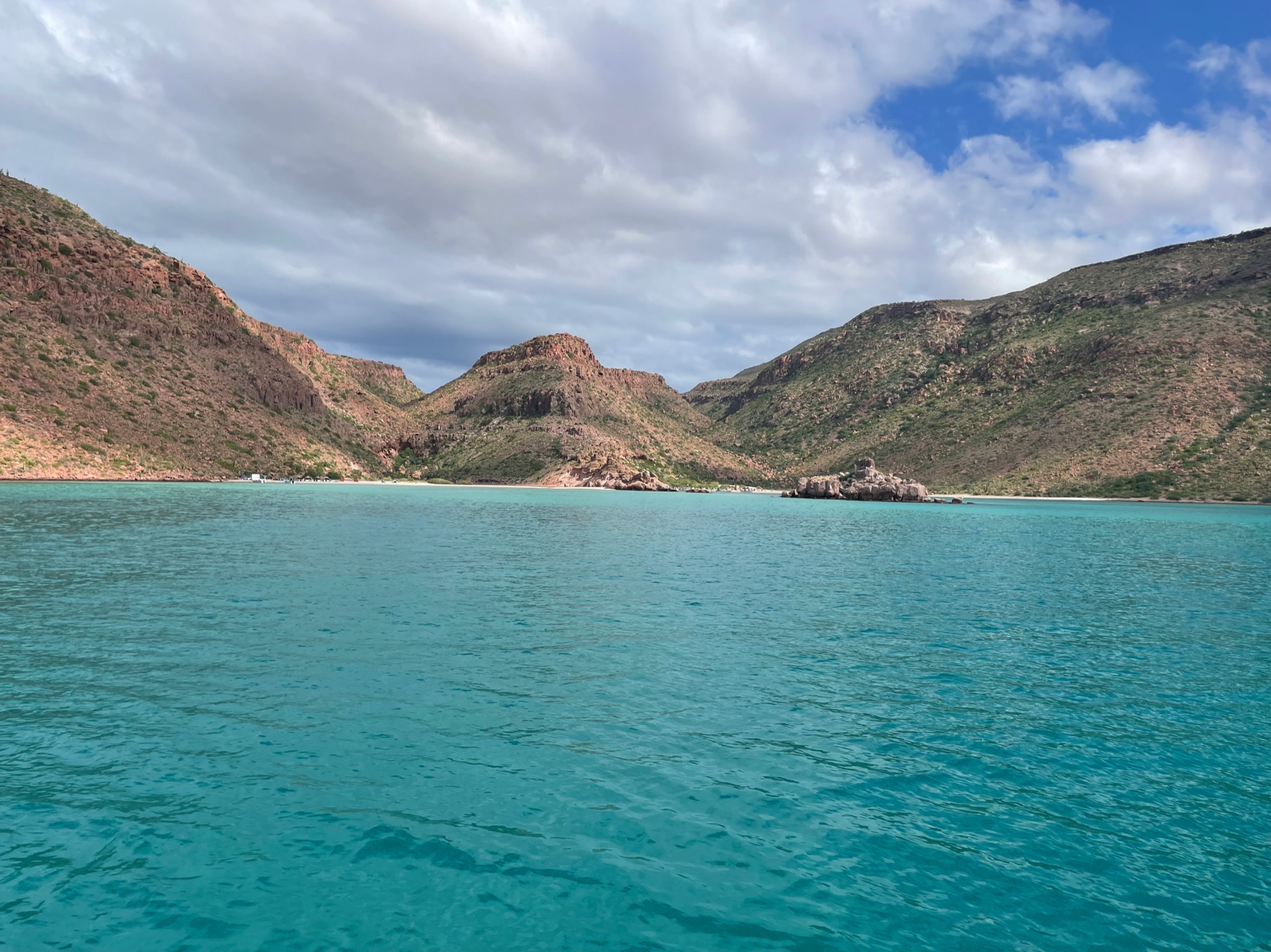
The anchorage was stunning, with beautiful aquamarine water contrasting dramatically with the rugged hills and rocks.
We were the second boat in anchorage, but a steady stream of boats came in behind us. By sunset there were at least eight more boats in the anchorage with us. Shortly after we anchored, the wind did dramatic change and we instantly turned 180 degrees. It may be the most dramatic wind change we’ve ever seen.
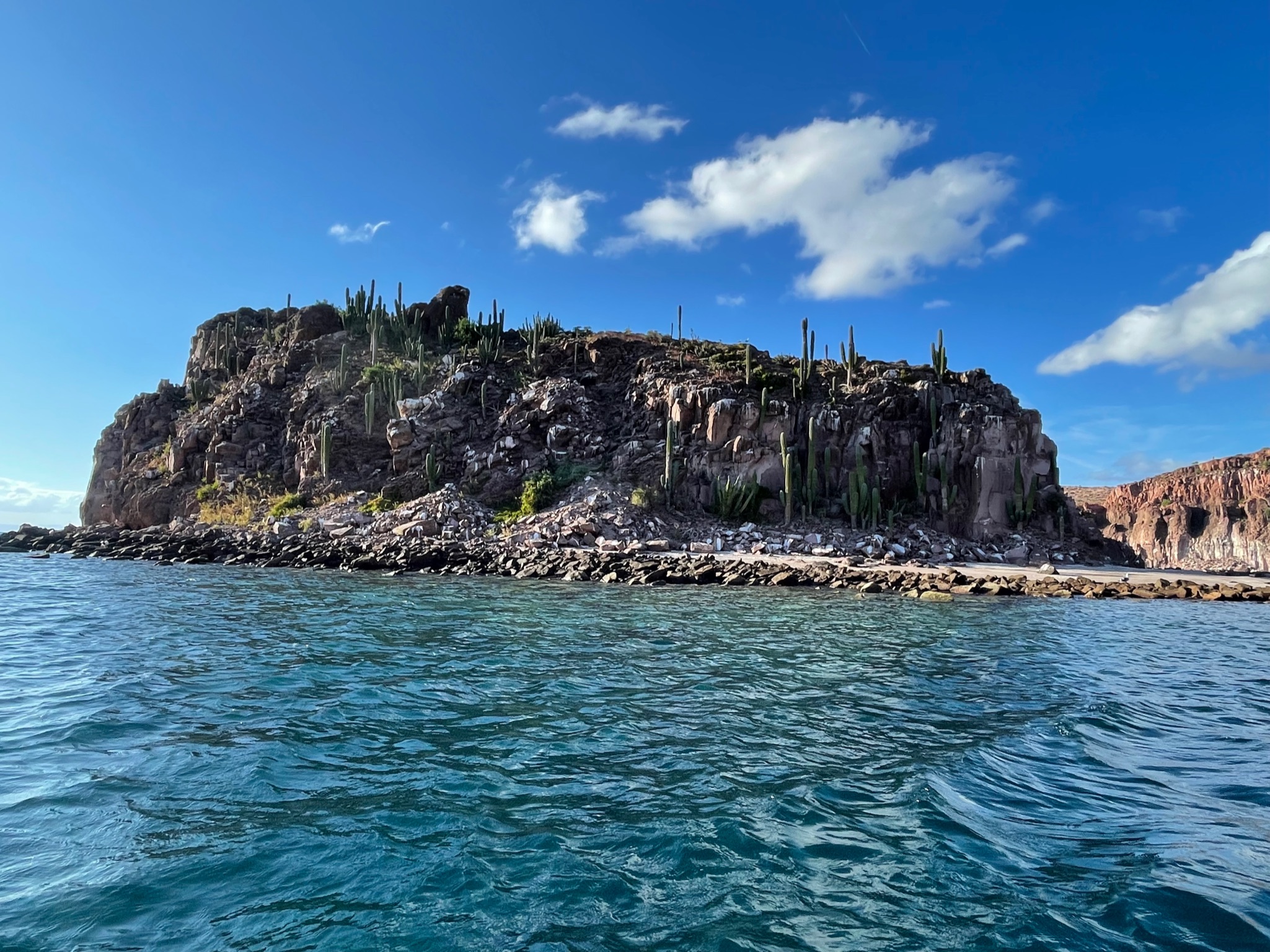
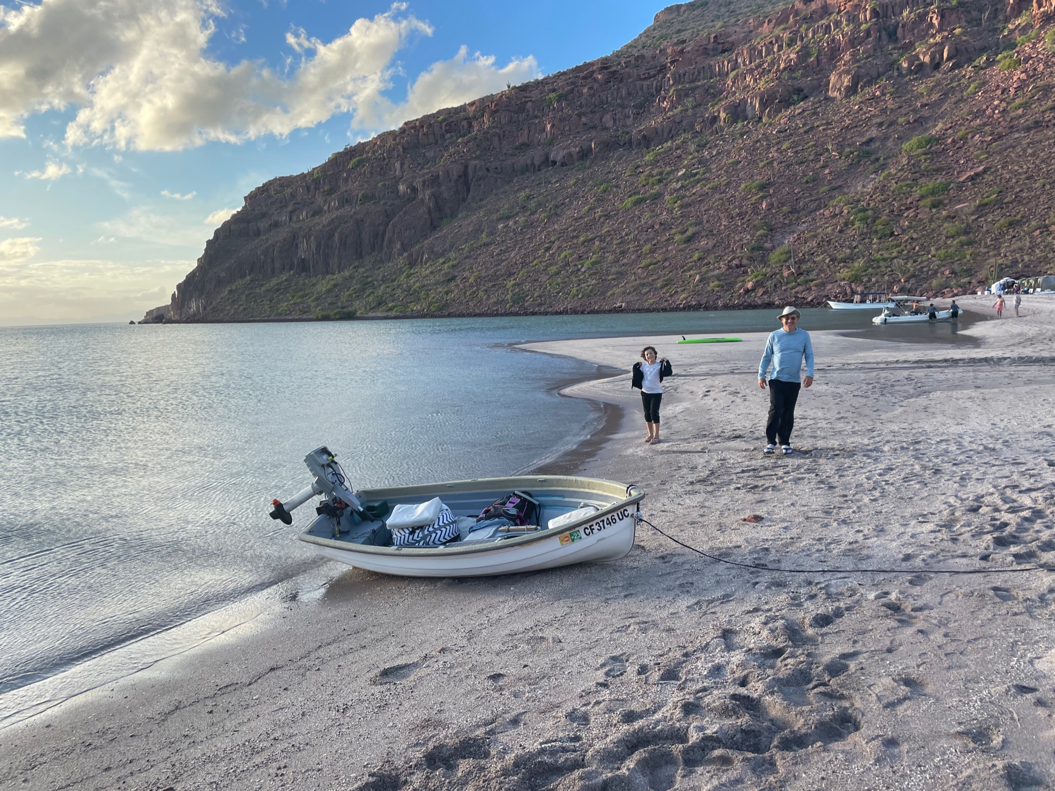
We got the dinghy down and scoped out the two rock formations that looked like promising snorkeling spots.
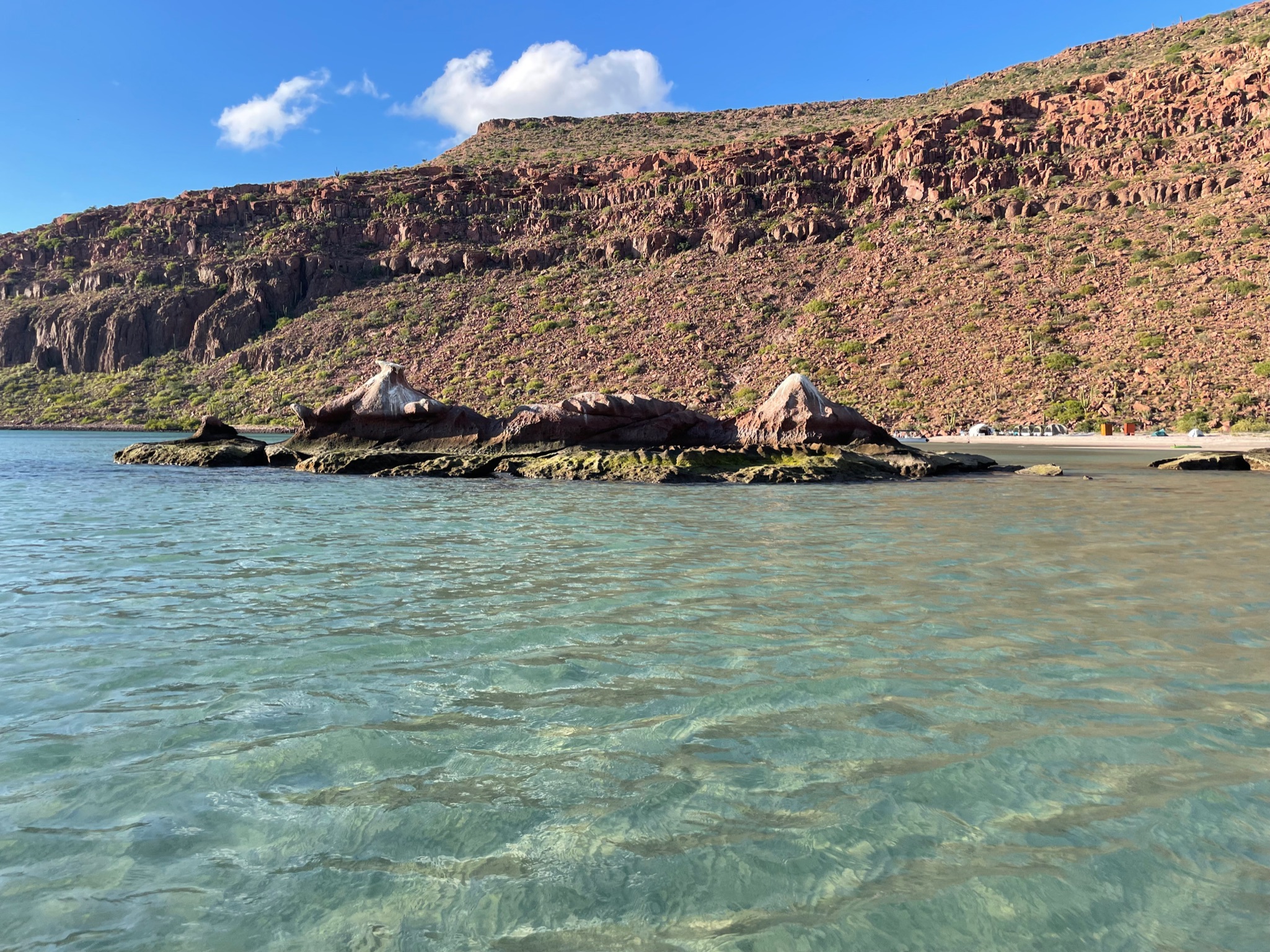
Then we went to shore and hiked around. We were surprised to see that the shoreline was completely split in half by a large rock formation, making two separate beaches. Here is a photo of the rock taken from the south beach.
Both beaches had an organized tourist group camping along the shore. Both sides were were flood plane estuaries. There was a small opening in the rock wall, allowing people to get from one side to the other.
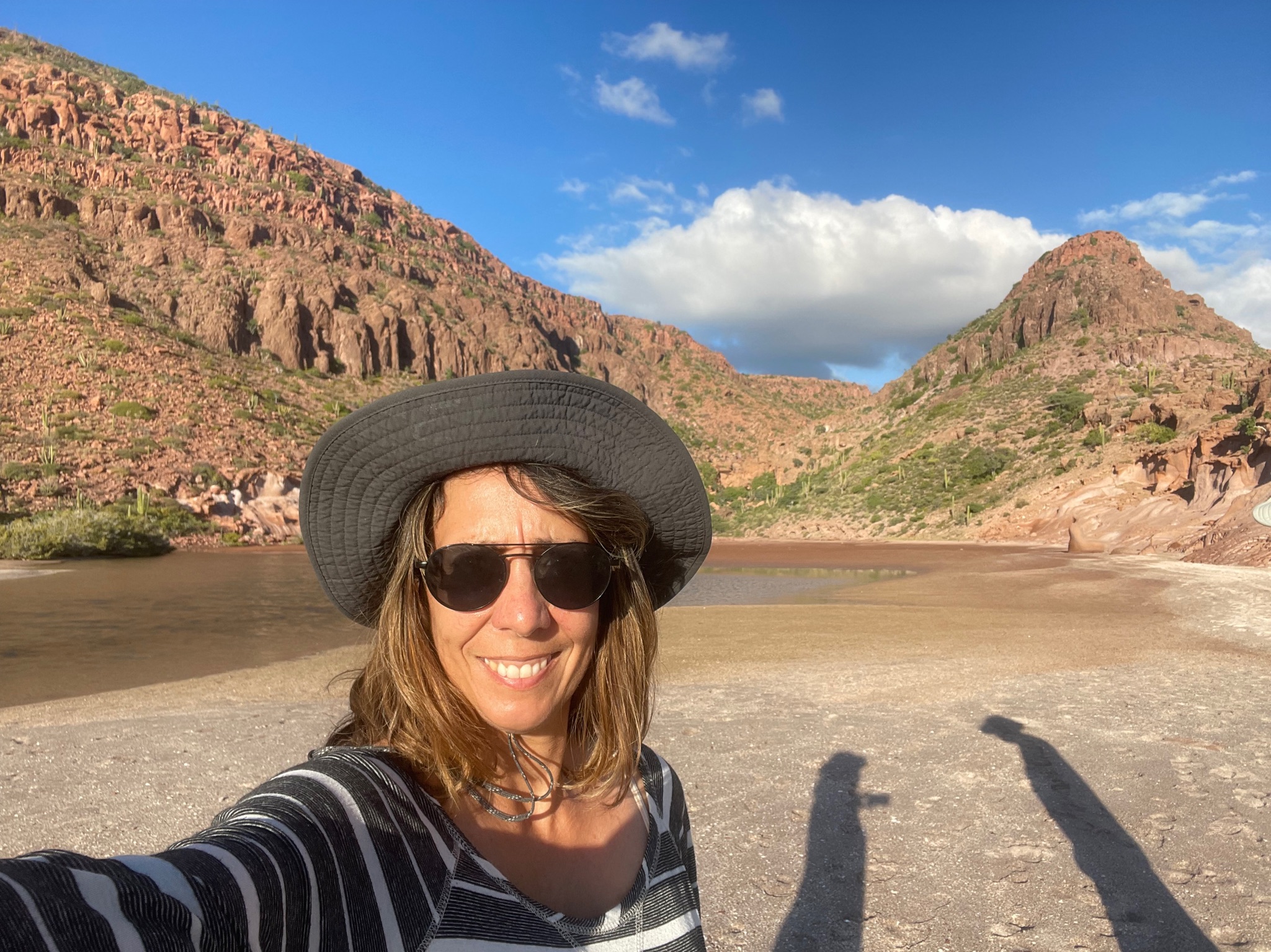
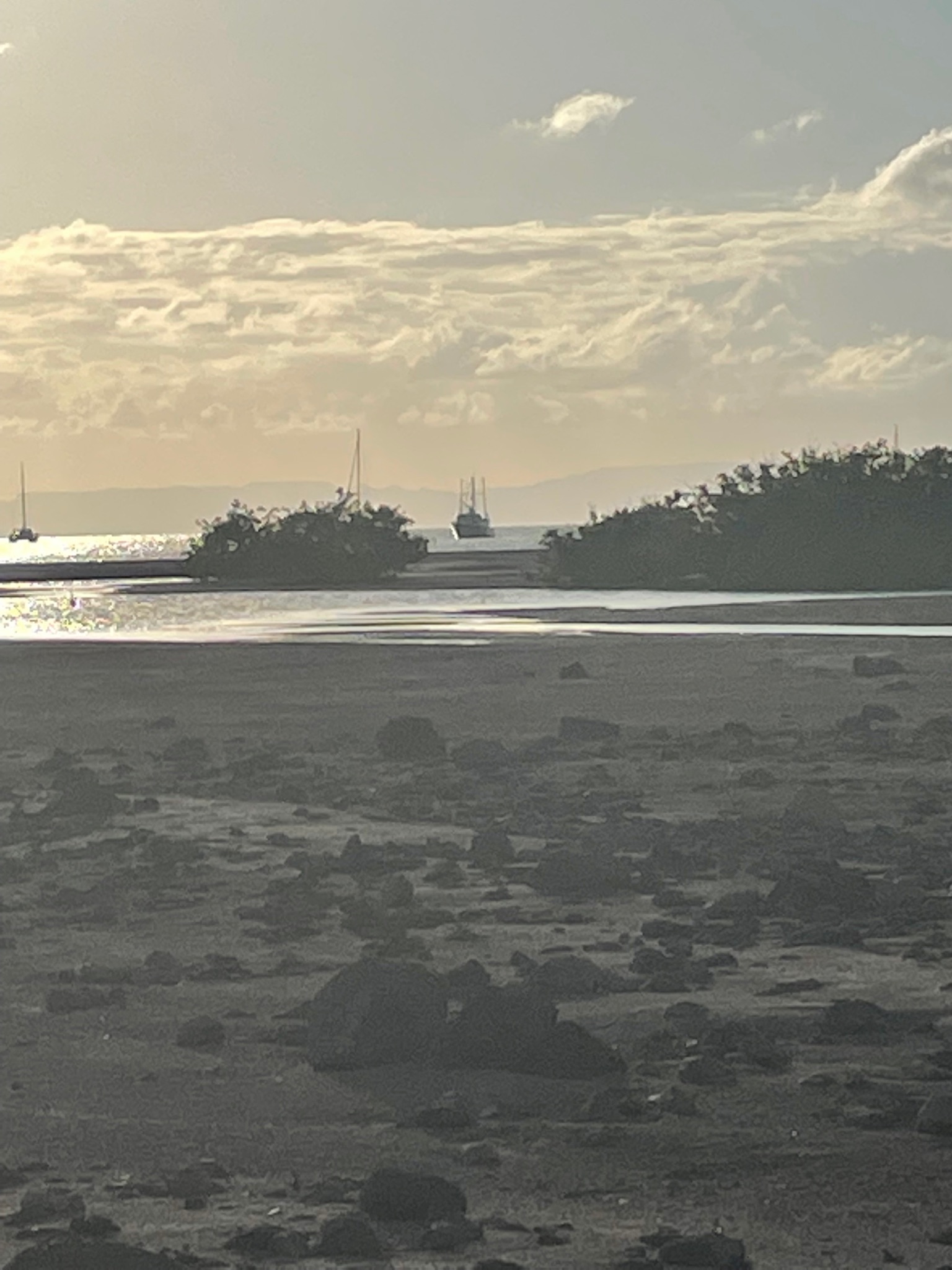
Here is the estuary on the south side.
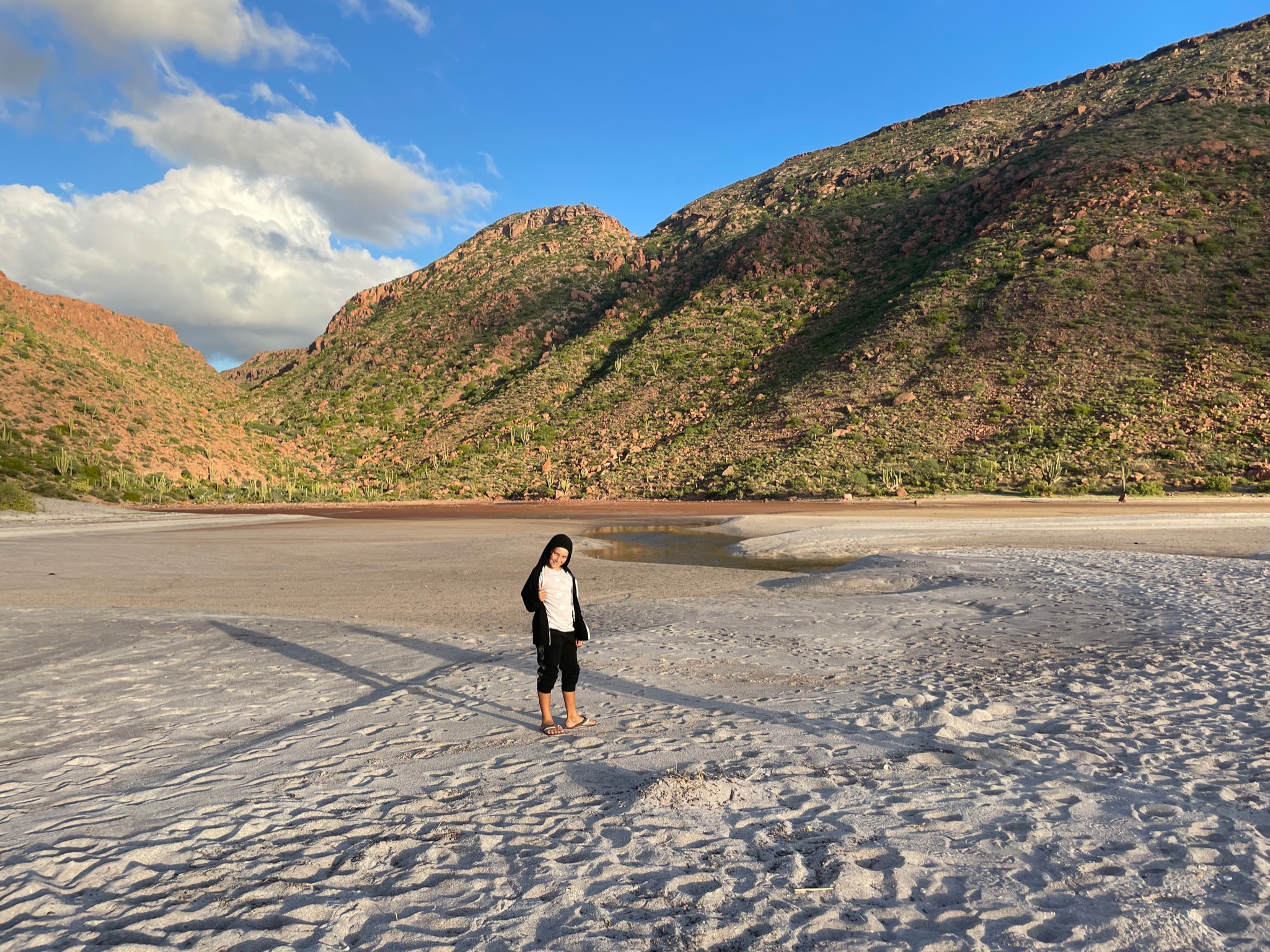
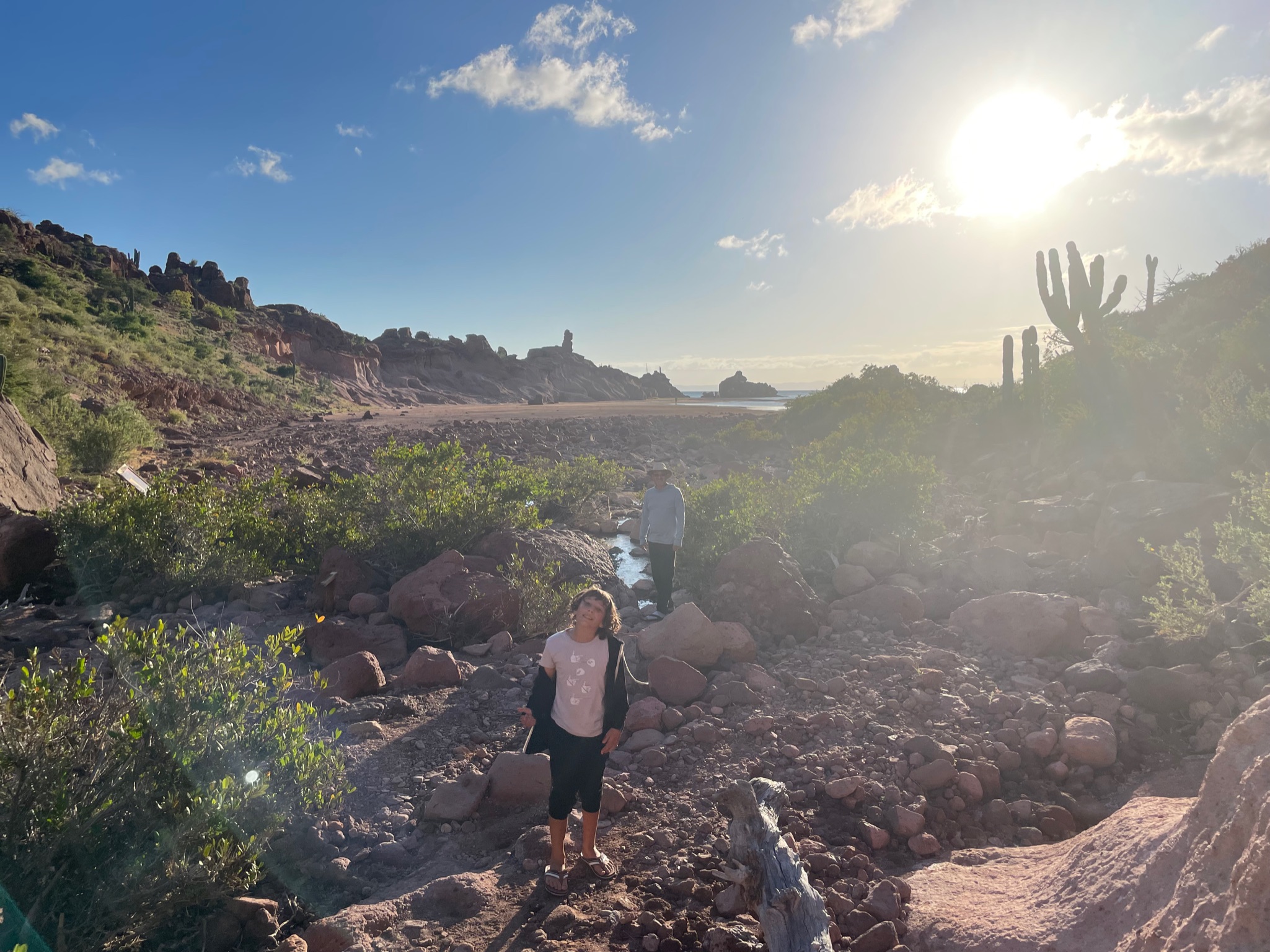
We mostly walked around on the north side. Here is the estuary.
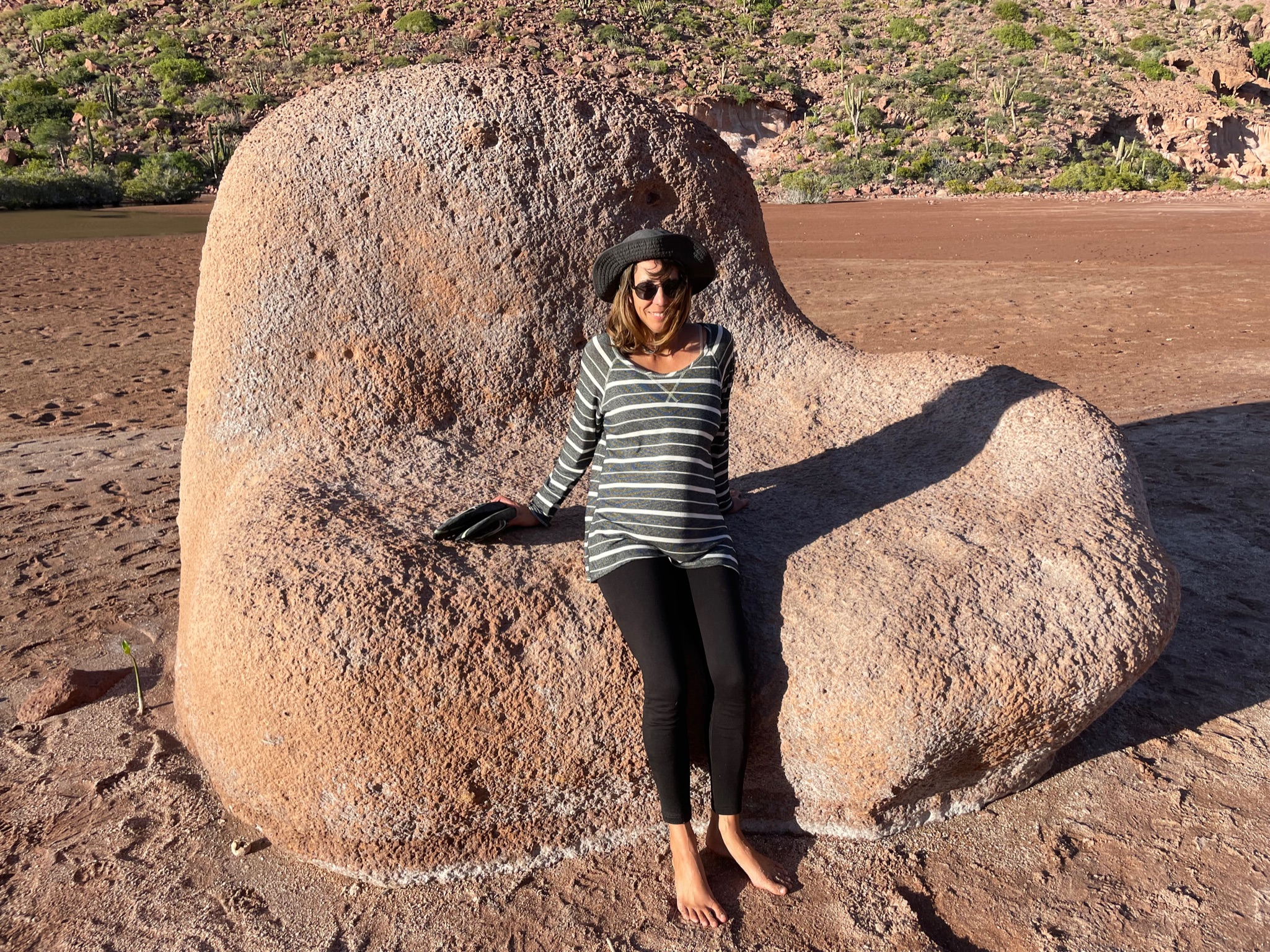
A rock called “The Chair.”
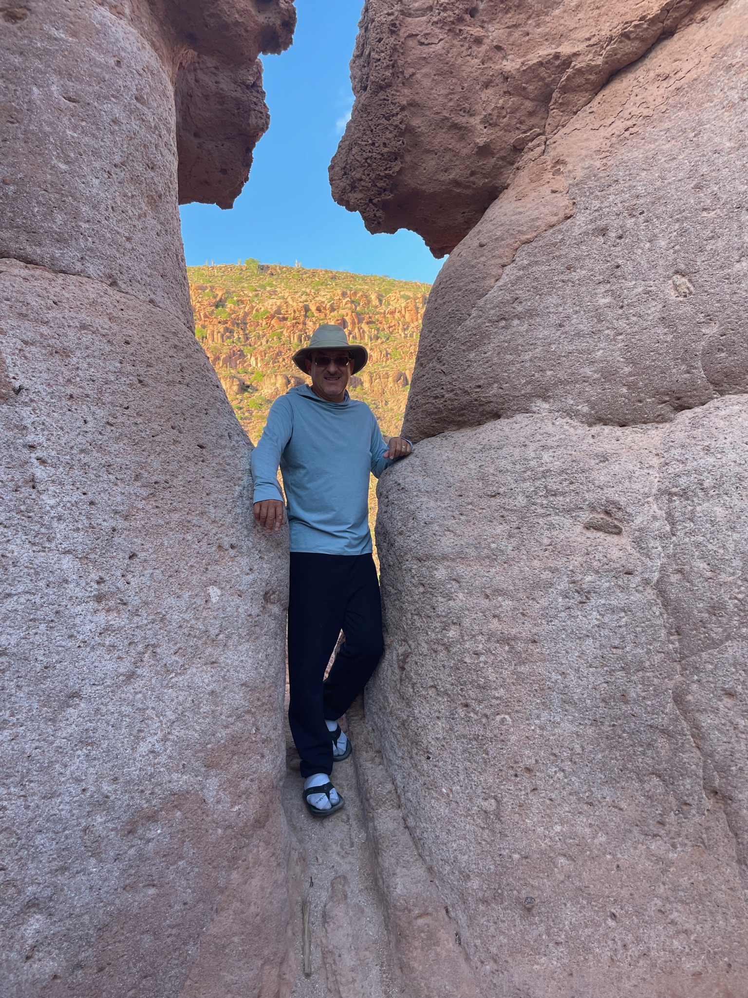
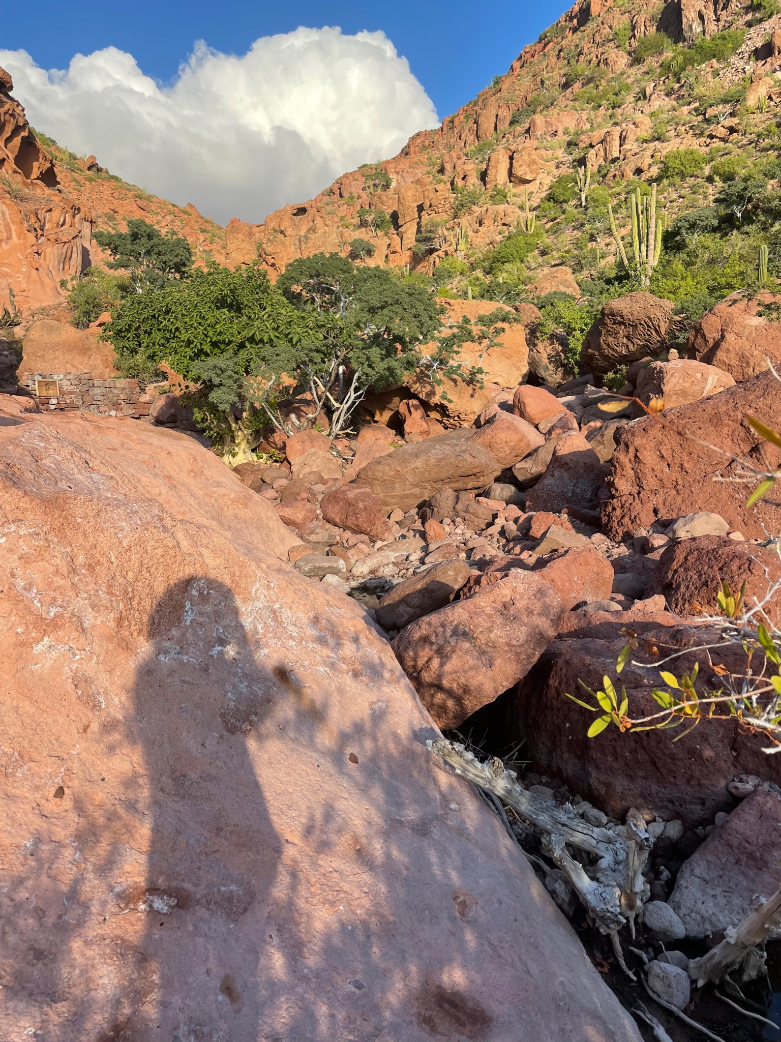
The men did a little rock climbing.
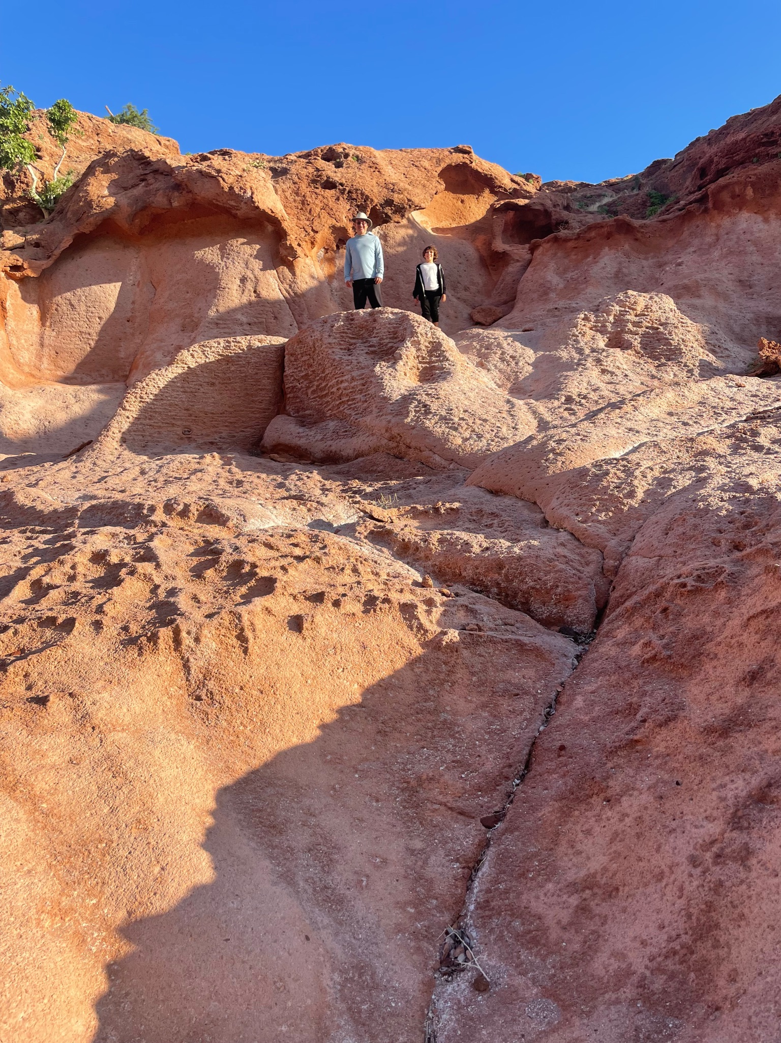
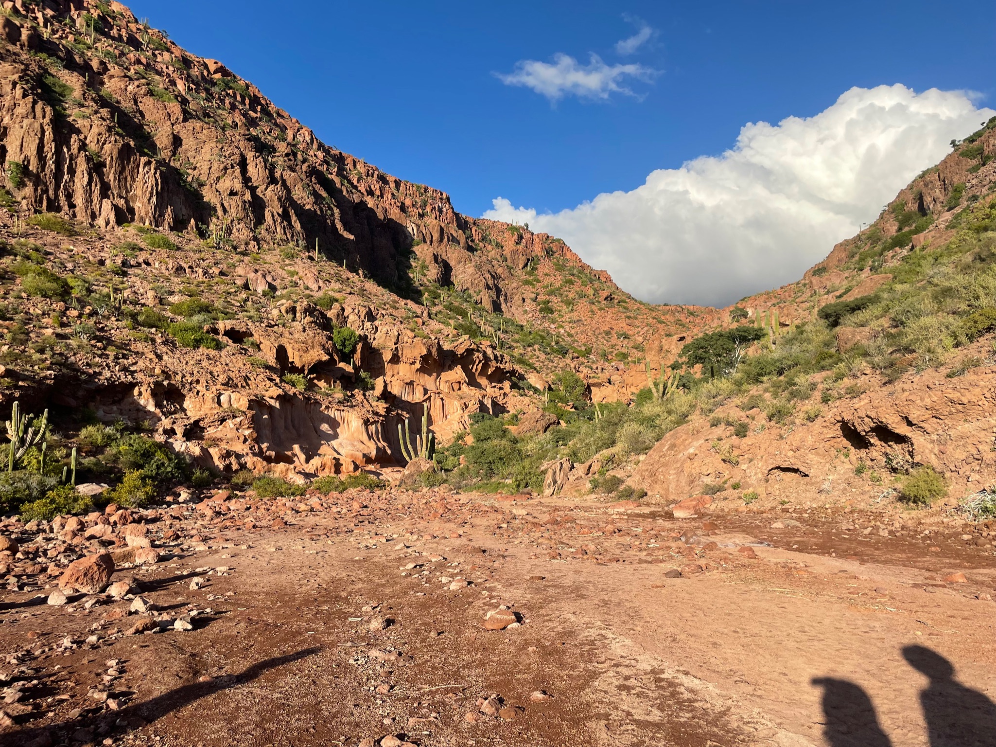
At the back was a trail that looked like it may be a ravine of sorts.
We couldn’t go too far without up the ravine with flip flops. We needed to come back wearing real shoes.
Looking back towards the water
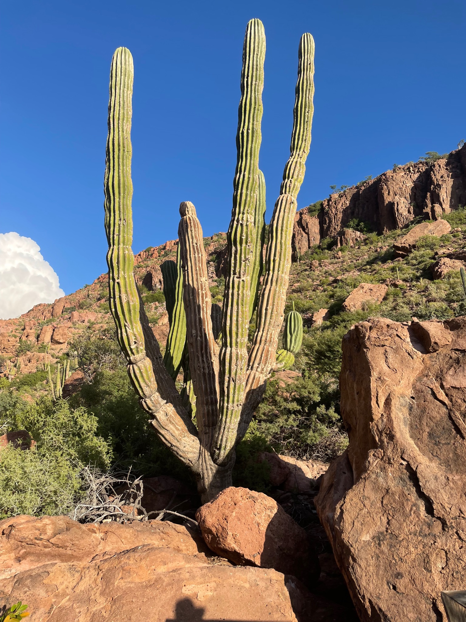
Huge cactus
Northern beach
The anchorage was much rollier than expected. Given the direction that the wind was coming from, it should have been calm. We’ve learned that the Sea of Cortez has a lot of “wrap around swells,” where the swells make into an anchorage despite the swell not going that way. Wrap around swells was likely why we had such an uncomfortable time in Isla Coronados.
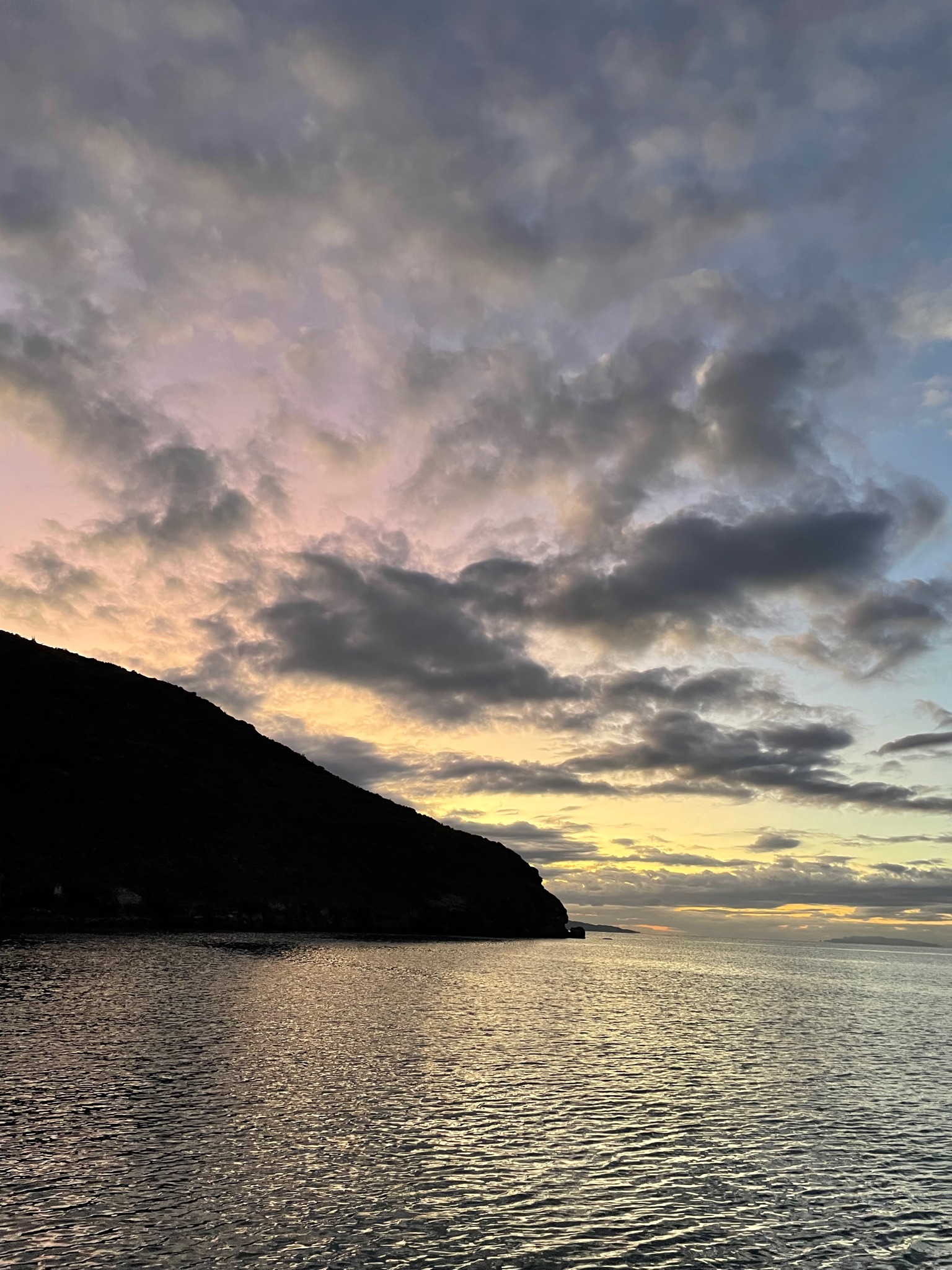
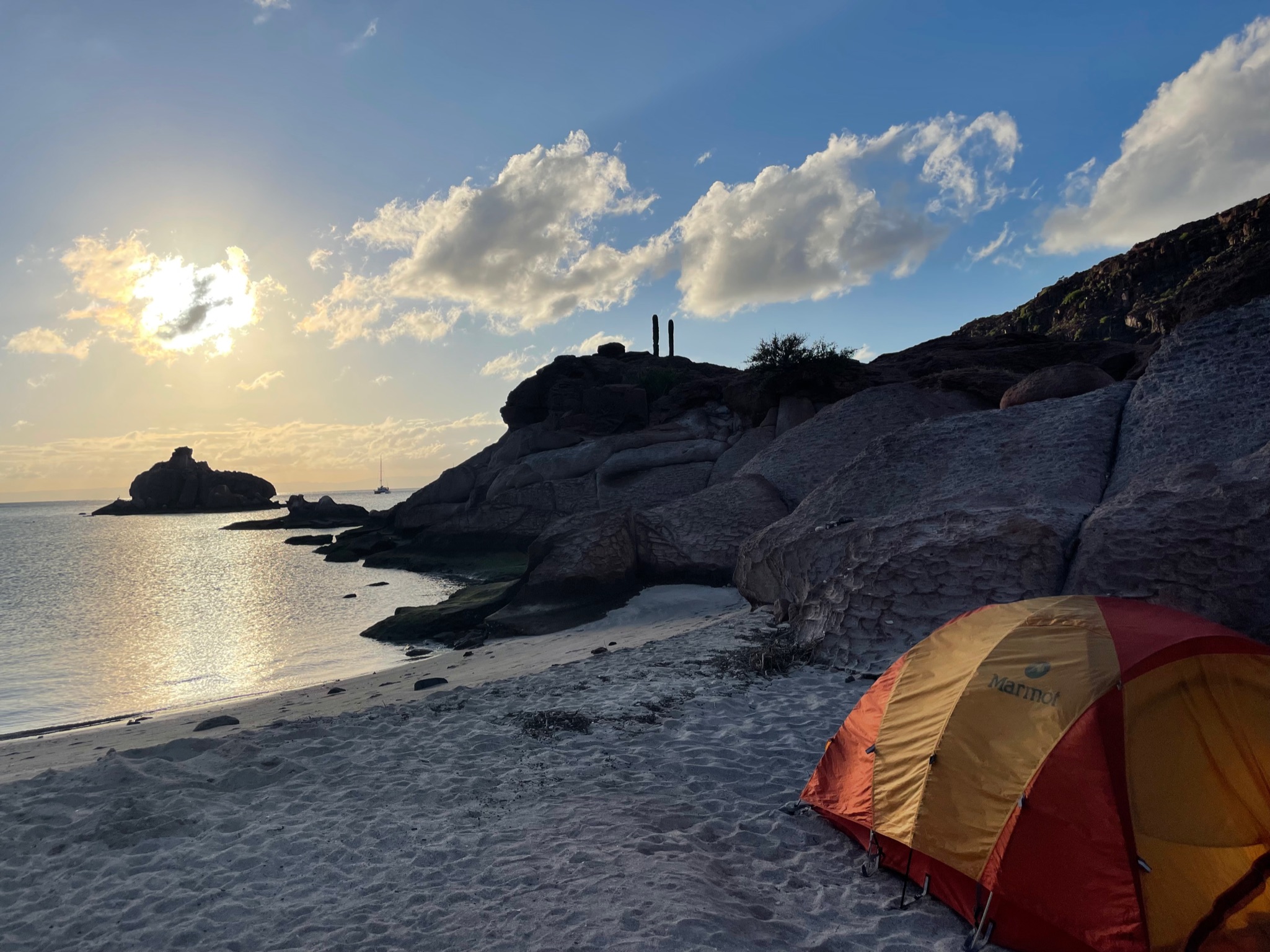
Sunset