On Friday (January 13), we awoke up to no wind and super clear water. We knew the calm wasn’t going to last for long. The forecast was that the winds were shifting direction and would pick up from the southwest, so we needed to move to a more protected location. We decided to go to an anchorage called Ensenada la Gallina, which was only 3.5 nautical miles south. The west side of Espiritu Santo has many fingers, and this anchorage had a particularly long finger on the south side that offered a little more protection than the rest of the fingers. Moin and Erin Sky decided to come with us.
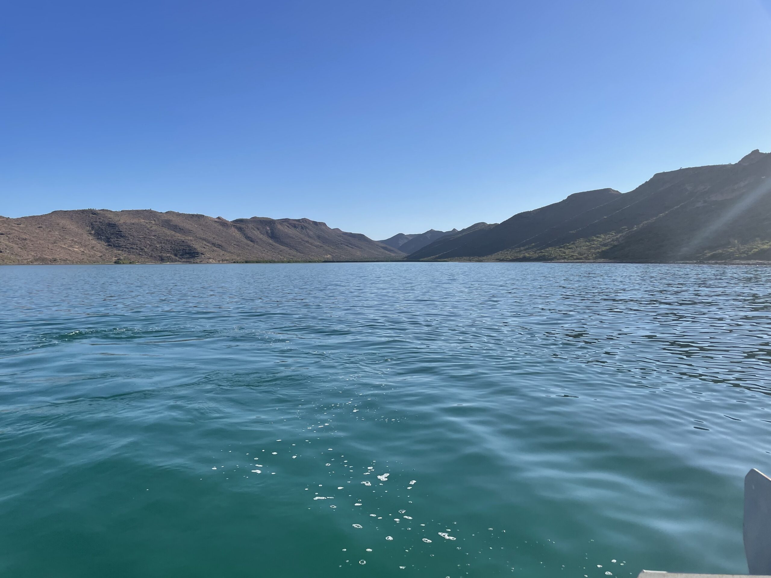
We pulled up anchor at about 0820, and the other two boats were right behind us. We arrived at around 0900, with the other two boats filing in shortly after we did. We chose a spot in the southwest end of the cove because everything closer inland was too shallow to anchor in. As you can see, it would be a long dinghy ride to shore.
We tried to anchor three times. The first time the anchor didn’t hold. The bottom was kind of rocky, so we guessed the anchor must have hit a rock. The second time the anchor held, but we settled too close to the rocks along the shore. We moved farther away from the rocks and dropped the anchor again. The anchor didn’t hold.
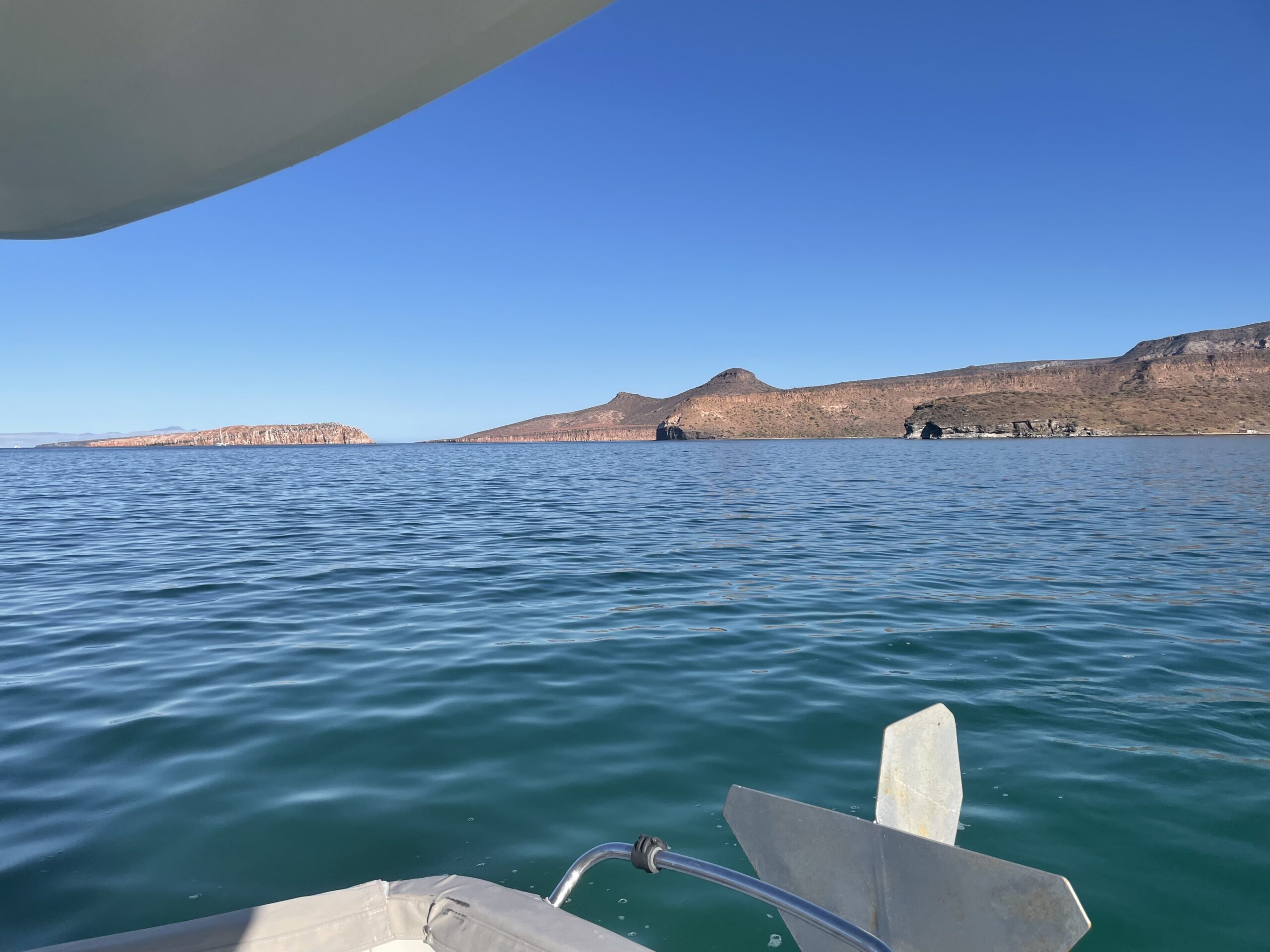
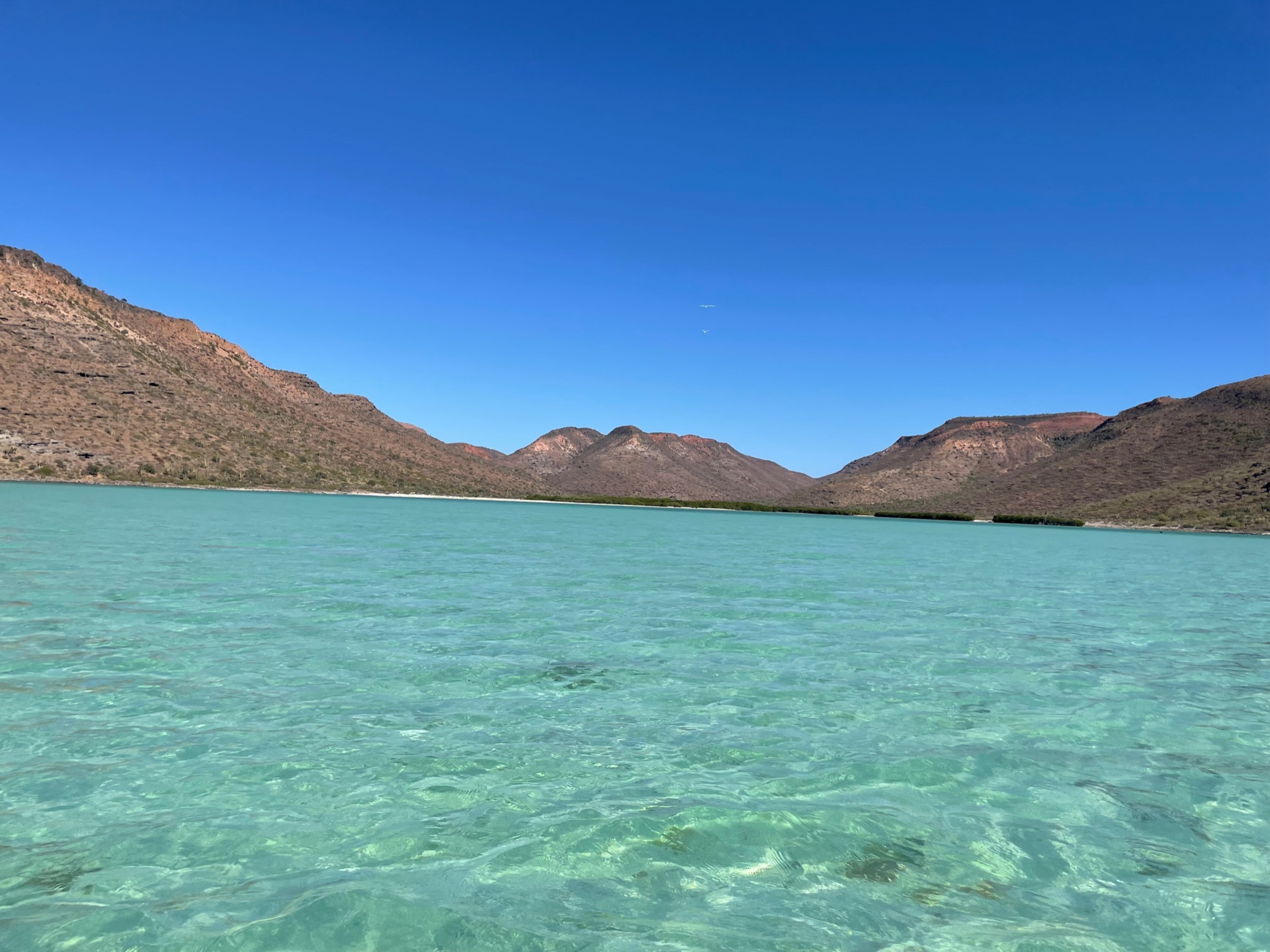
Meanwhile, Erin Sky had anchored with no problem, but as we were getting ready to try anchoring again, they called us on the radio and complained that the flies were really bad, then suggested that we move anchorages. All three boats agreed to move to the next finger north, called Ensenada el Gallo. Here is a shot looking northeast from where we had tried to anchor. To the right, the first finger of land separates Gallo from Gallina. The island to the left is called Isla Gallina and right behind it is a bigger island called Isla Gallo that you can make out of you look closely.
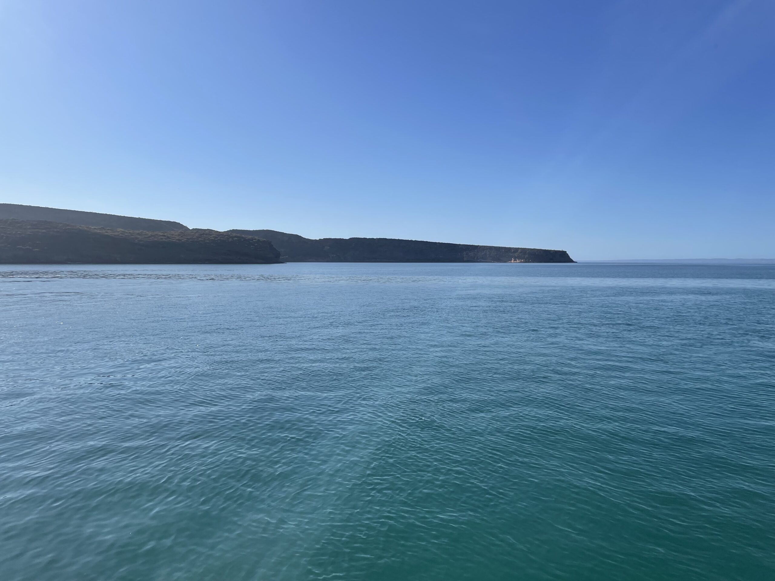
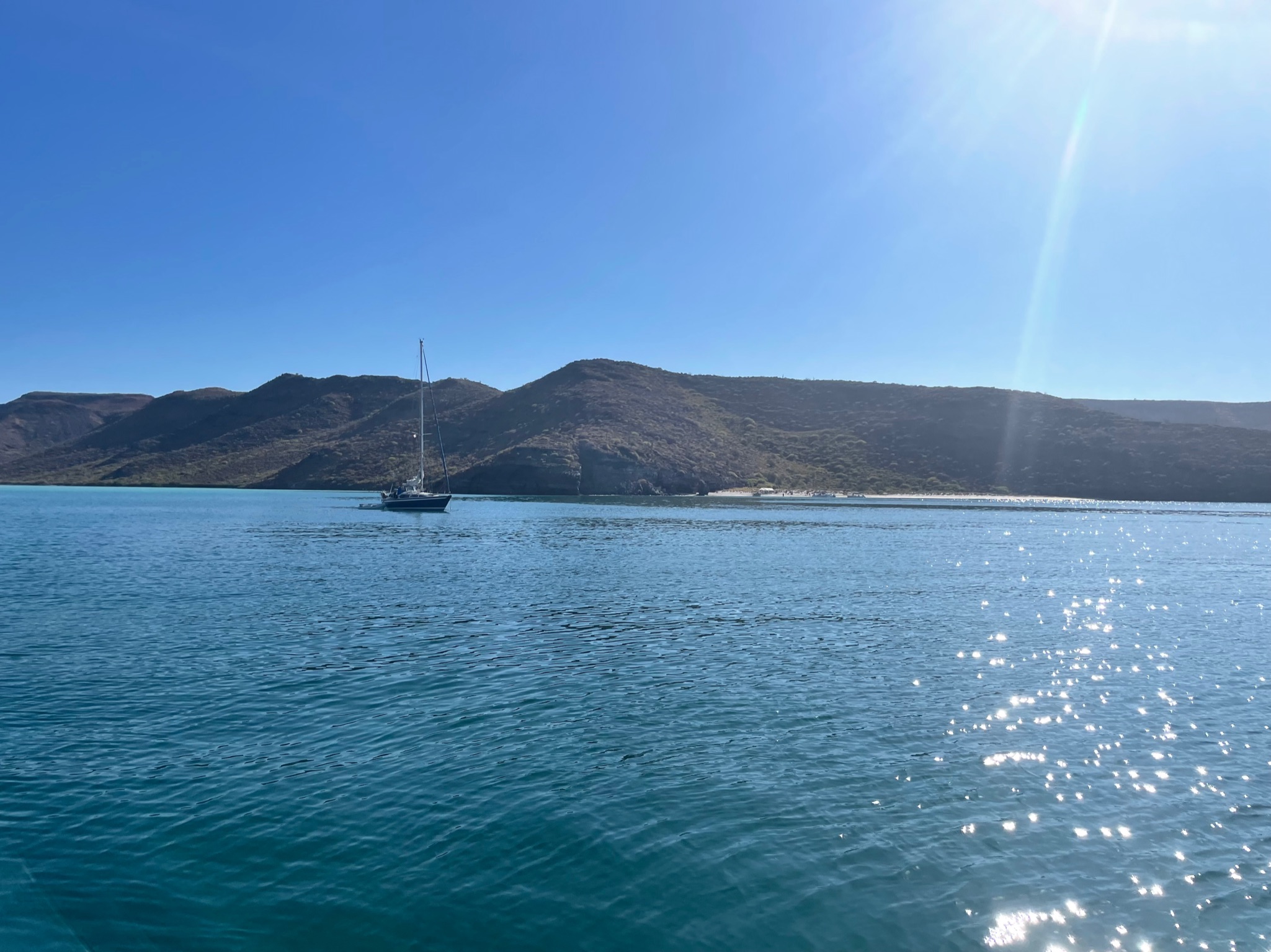
We picked a spot near the tip of that first finger in the photo above. This cay was also very shallow, so we again had to pick a spot far from the main shore. Anchoring in Ensenada el Gallo went fine. We even saw a turtle while we were anchoring! Kosmos was finally settled by 1000. Here is a photo taken from our spot in Ensenada el Gallo looking southwest at the finger that we’d tried to anchor near. You can see how much longer it is than the finger that we finally settled at. Hopefully, this set will be reasonably calm since we are still in the shadow of the long finger.
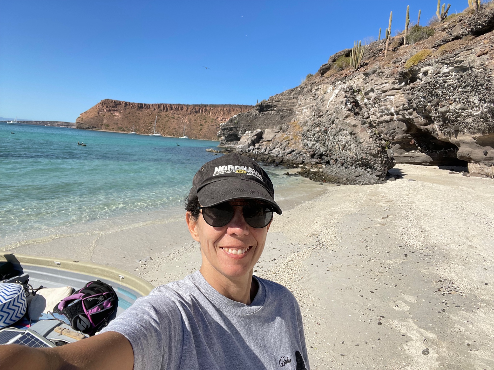
In the afternoon, we went to shore. At first, we tried to go to the main beach, but part way in, we realized that it was an outgoing tide and there was a real possibility that the dinghy would get stuck. It would be a long way to drag the dinghy back.
So instead we turned around and went to the beach on the tip of the finger between the two cays.
There were tons of birds around. The majority were pelicans, but there were quite a few species of birds.
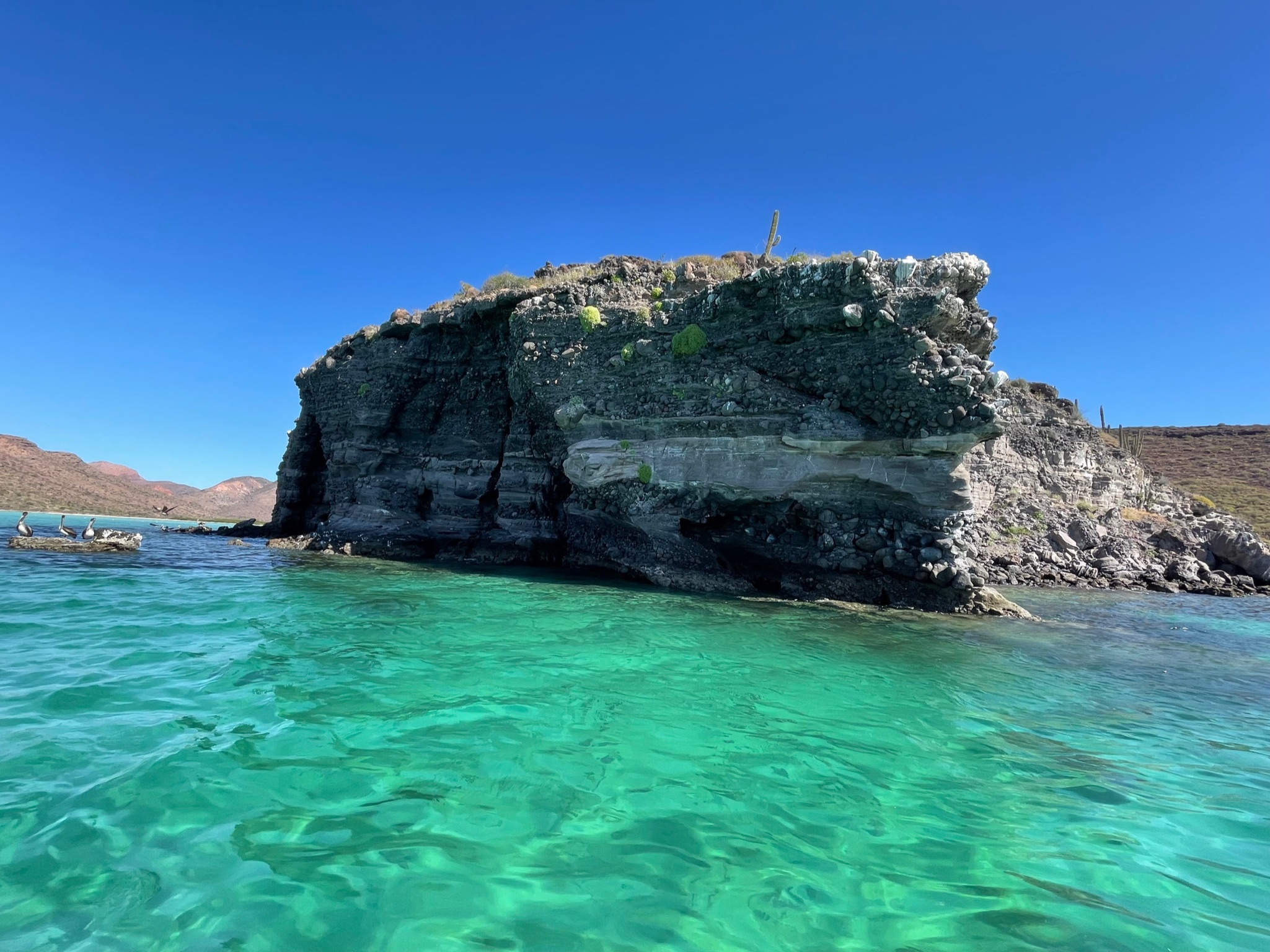
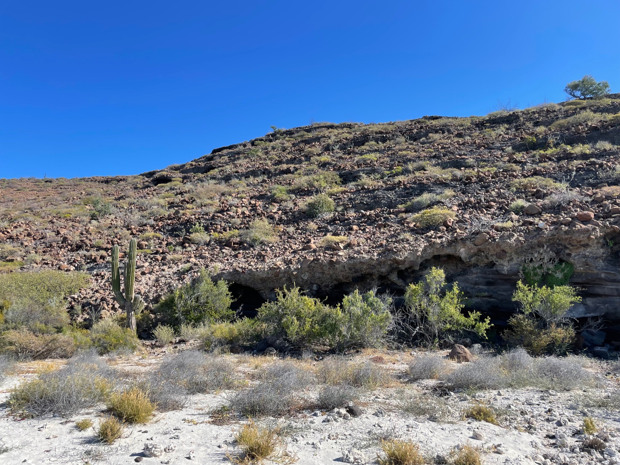
This was the northwest corner of the finger. The beach starts to the right of this rock formation.
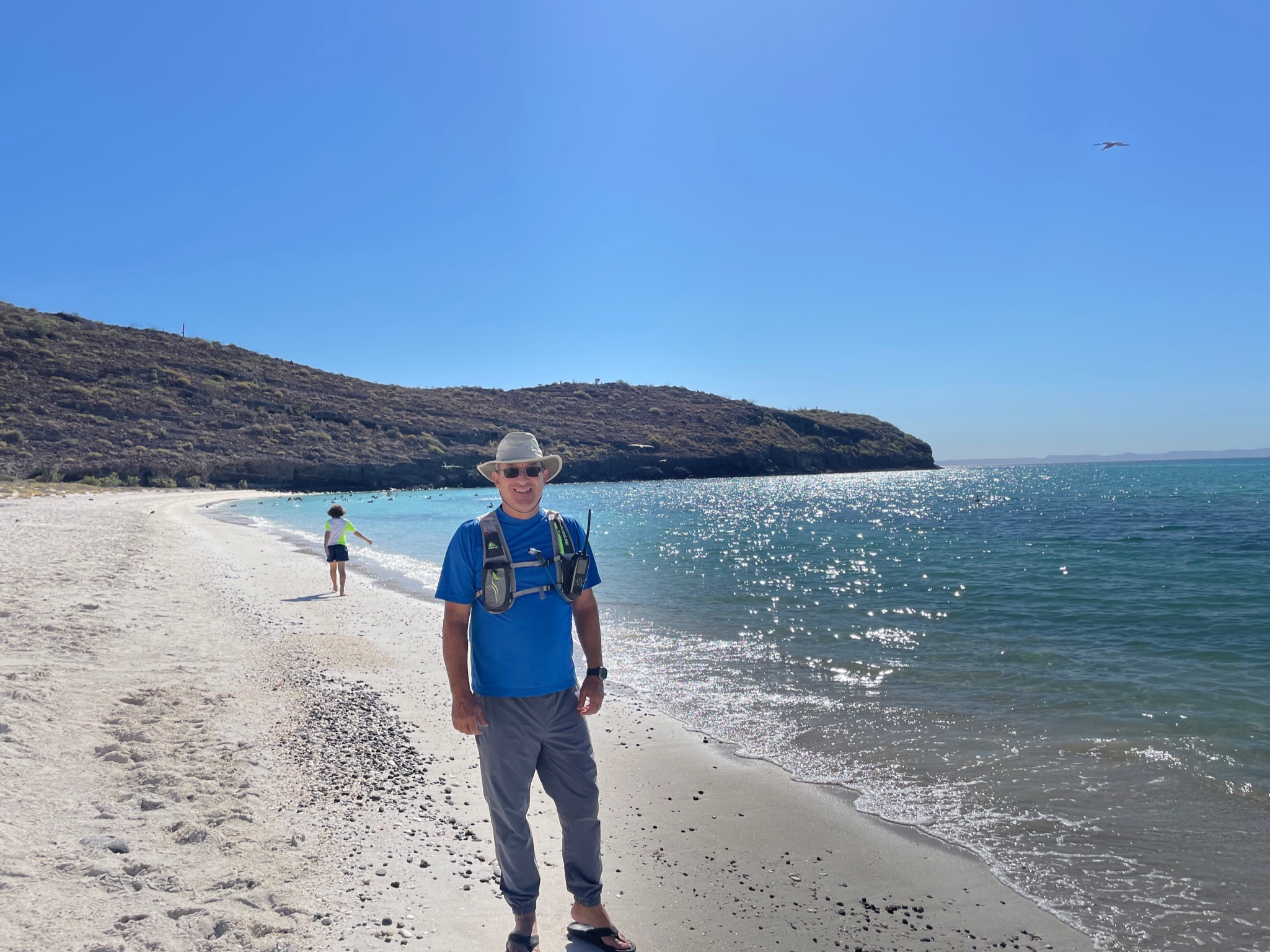
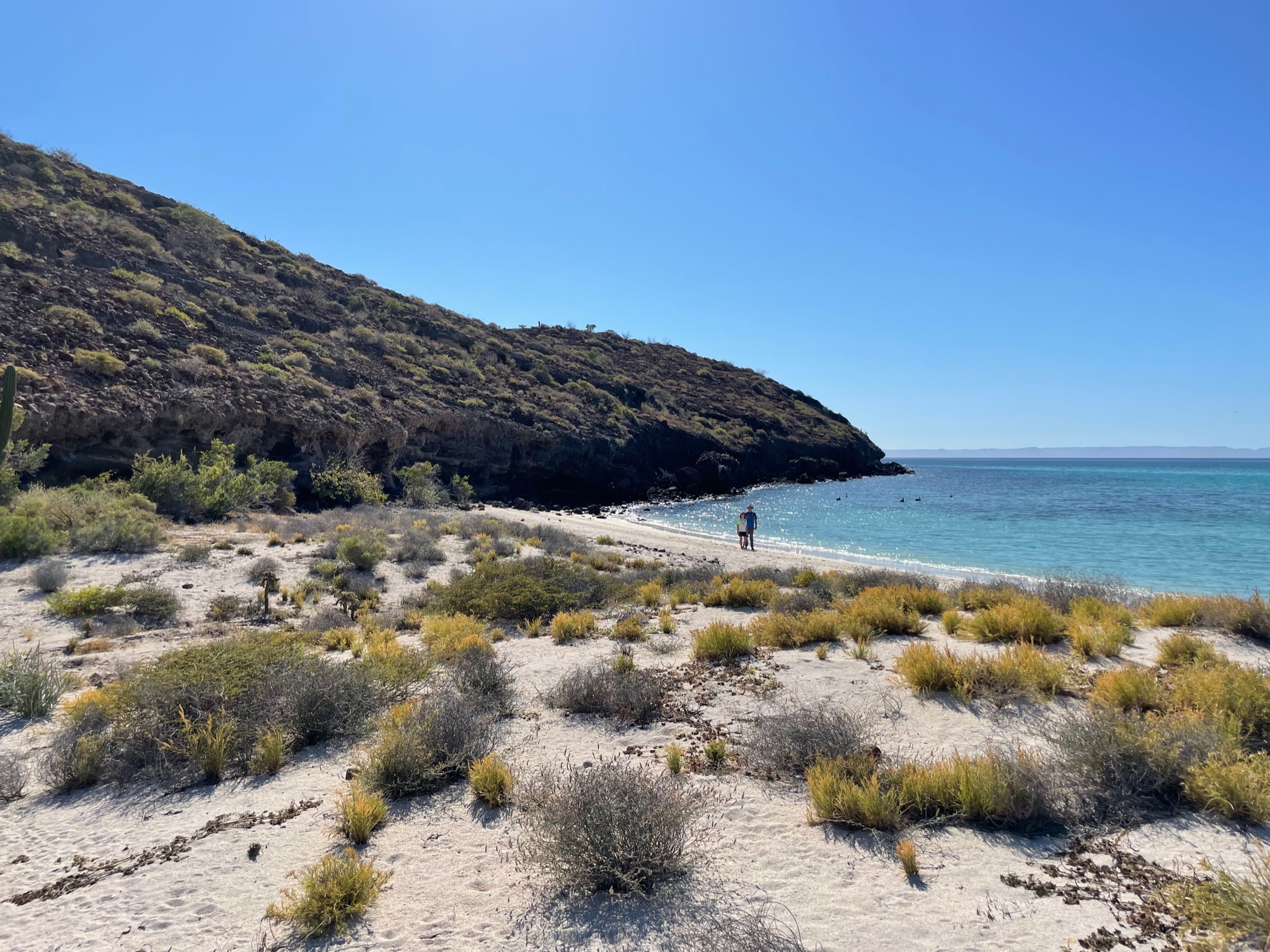
The beach was a relatively small spit. It looked like there was a dry estuary in the middle. The first shot was looking south, second shot looking north.
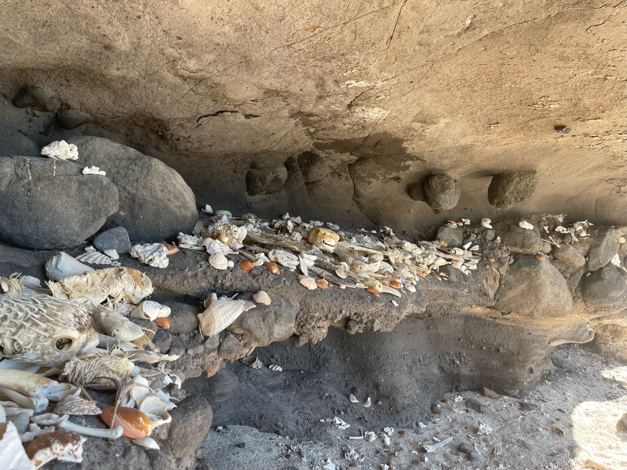
We explored the area with the rocks at the end of the beach (pictured above) and were surprised that someone had created a shell/bone ossuary.
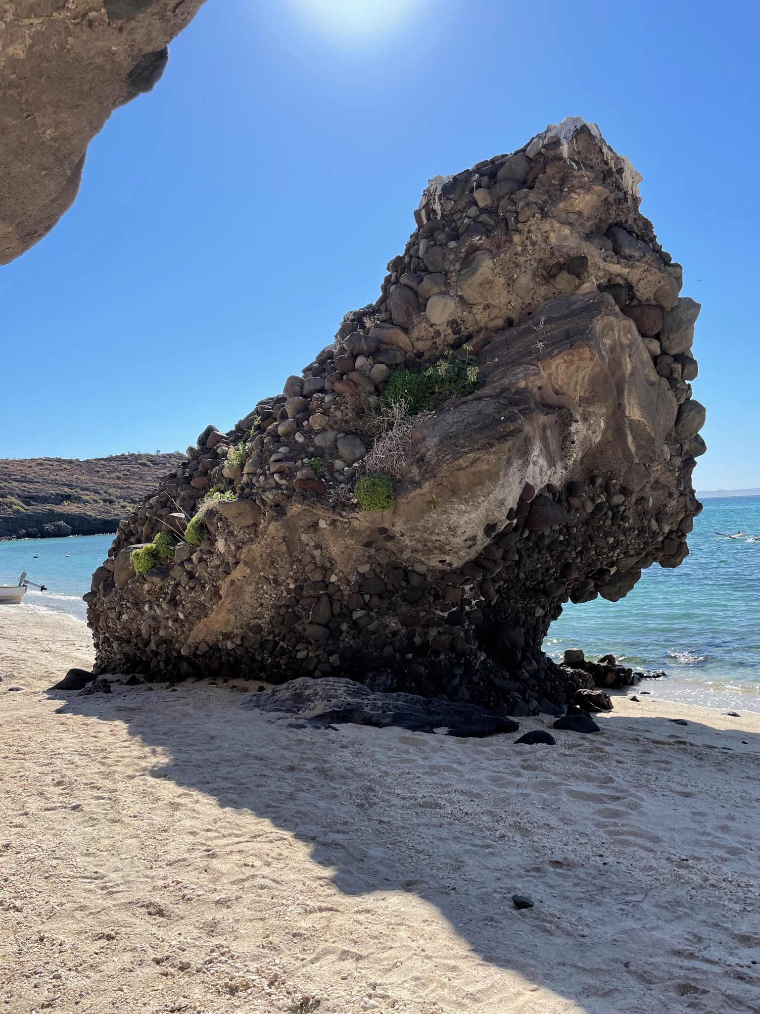
Here is an interesting looking stand alone rock. It is made up of a lot of little rocks stuck together. It looks like you should be able to pull the little rocks out, but they are firmly together. Christi wishes she understood geology better because the geology in this area is fascinating.
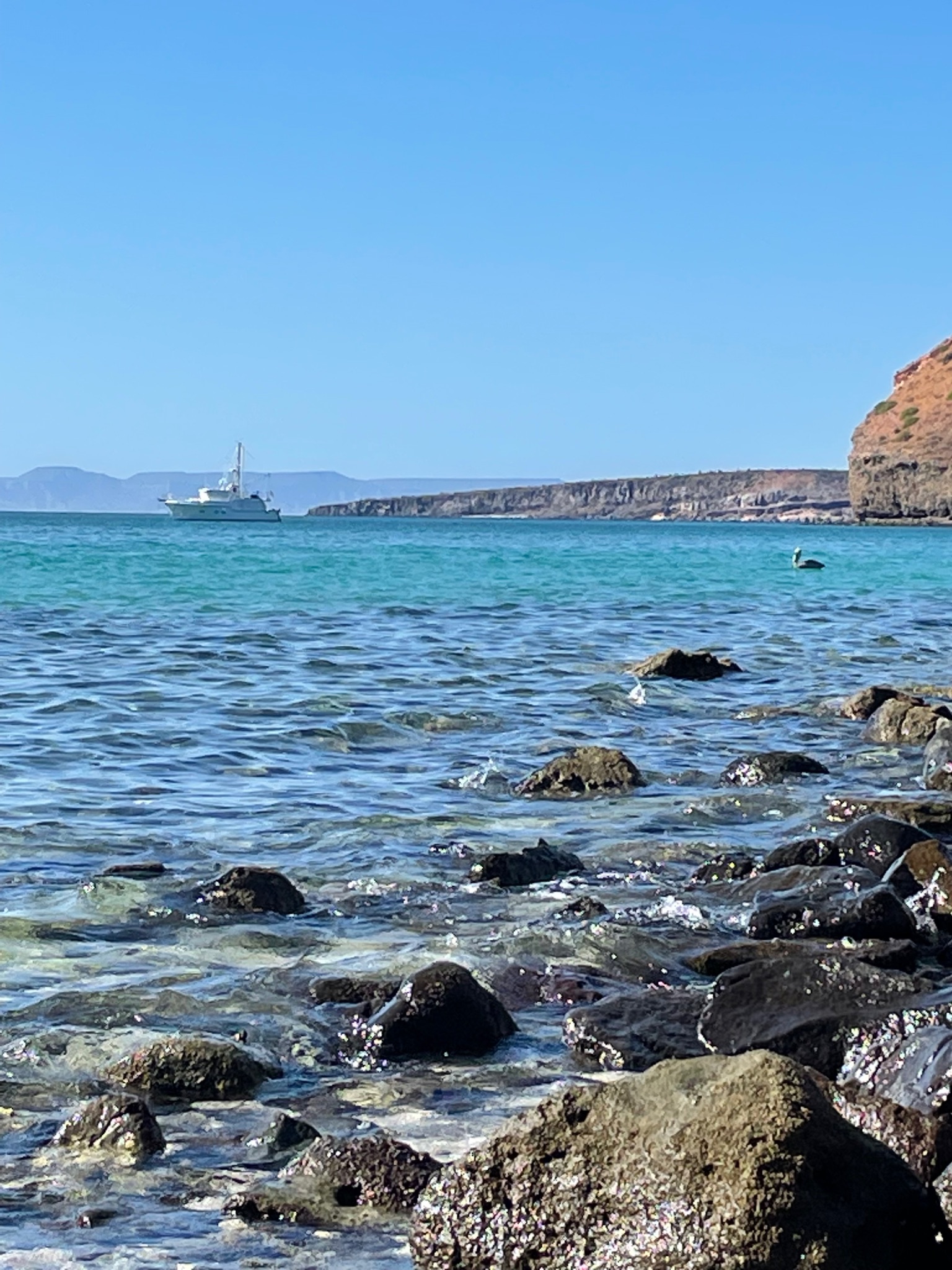
A pretty view of Kosmos from the ossuary
There was supposed to be a hiking trail leading inland, but we didn’t see one. Christi tried to blaze her own trail, but the plants were thorny and spiky and there were bees everywhere. She quickly retreated back to the beach.
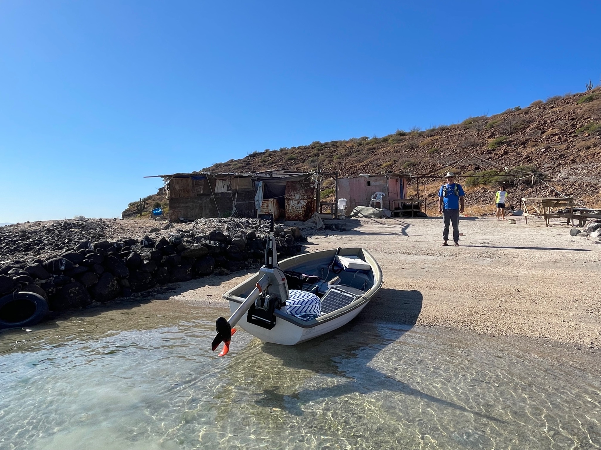
While we were trying to anchor in Ensenada la Gallina, we’d noticed a fish camp on this finger not far from the beach. We piled back into the dinghy and went around the tip of the finger to the fish camp. It was quite small and no one was there.
We headed a little farther south. The water around the fish camp was amazingly clear, but as we went south, the water turned cloudy. We found that odd. We didn’t make it much farther beyond the camp before we decided to head back to Kosmos. On the way back, we saw a ray and a turtle swim under the dinghy (not at the same time).
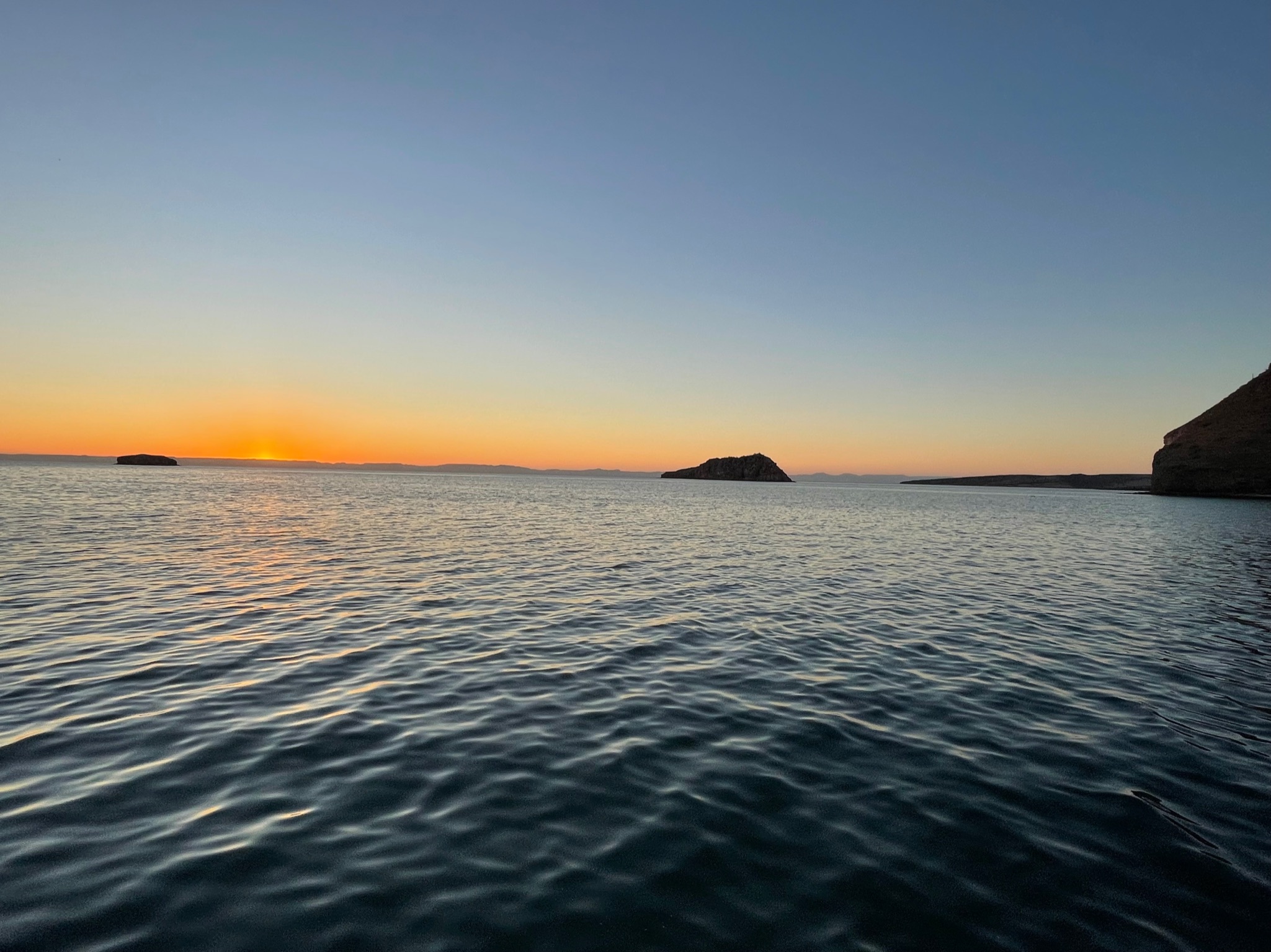
In the evening, Eric and Keith again went to one of the other boats to play D&D. Here is the sunset.