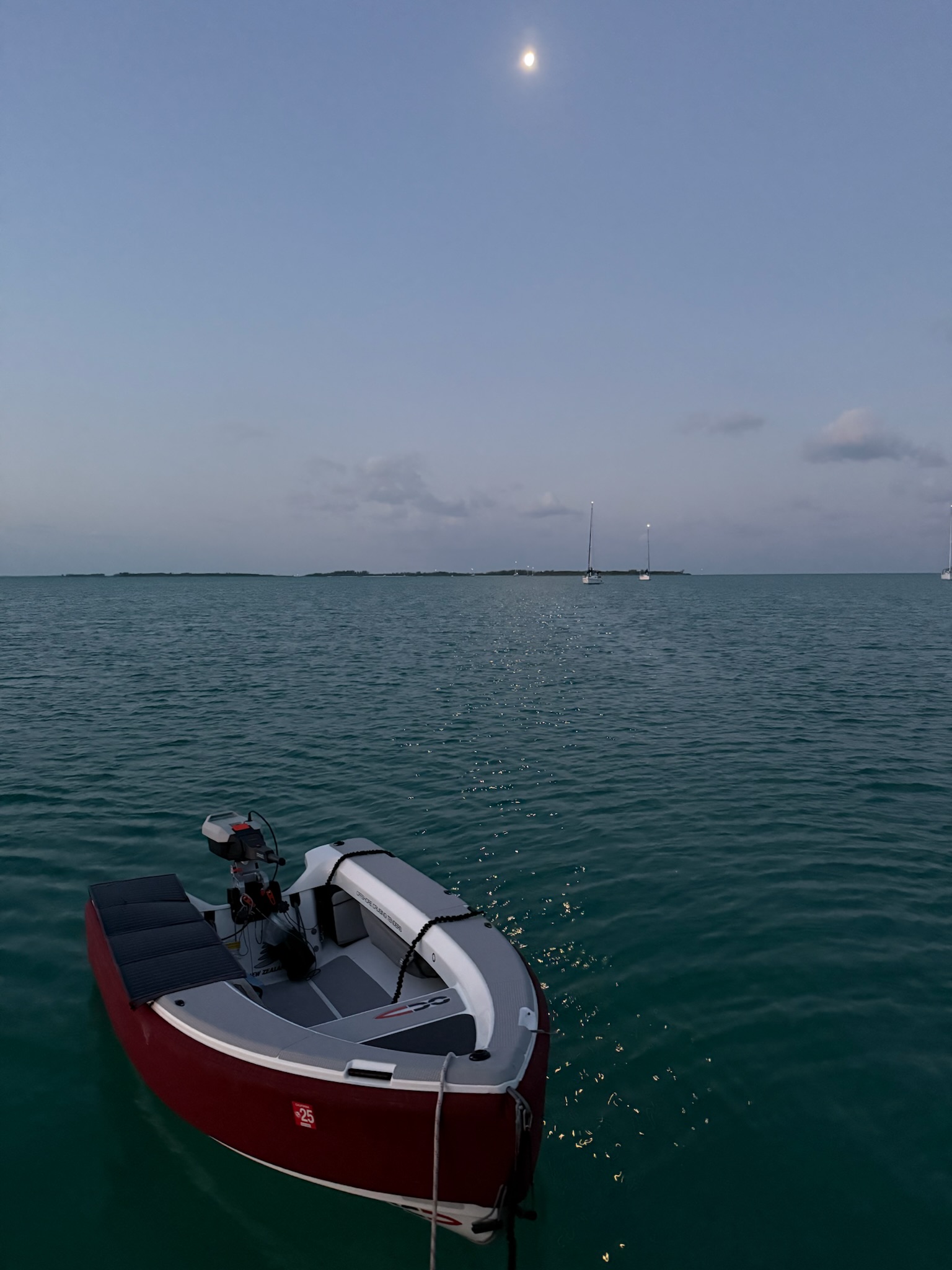
The moon was again shining brightly as dawn broke on Thursday, April 17, 2025
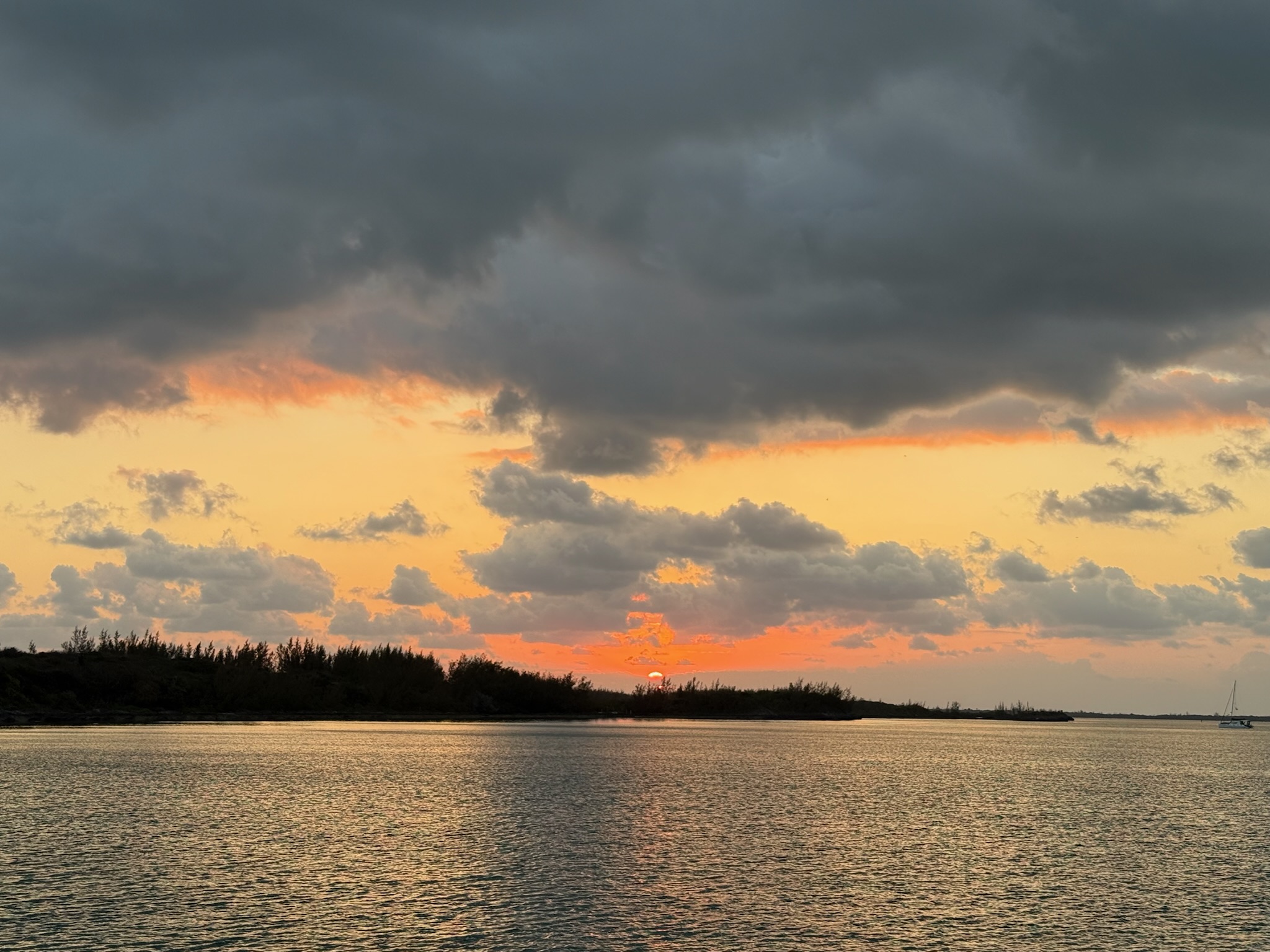
Sunrise
After doing a little research, we discovered that the island that we’d thought was called Spanish Wells was actually named St. George’s Cay. Originally “discovered” by Christopher Columbus, the trio of islands was given the name Spanish Wells because the Spanish sailing ships would stop there to resupply their water tanks on their way to Central/South America. While the Spaniards had claimed the Bahamian islands as their colony, they didn’t really utilize the land. However, the Spaniards enslaved the indigenous people and shipped them off to their other colonies, leaving the Bahamas uninhabited.
St. George’s Cay was only about 3.5 kilometers long and 800 meters wide, Russell Island was a little over 3 miles long, and together they had a population of about 1,600. As you may have noticed in yesterday’s photos, golf carts were more common than cars.
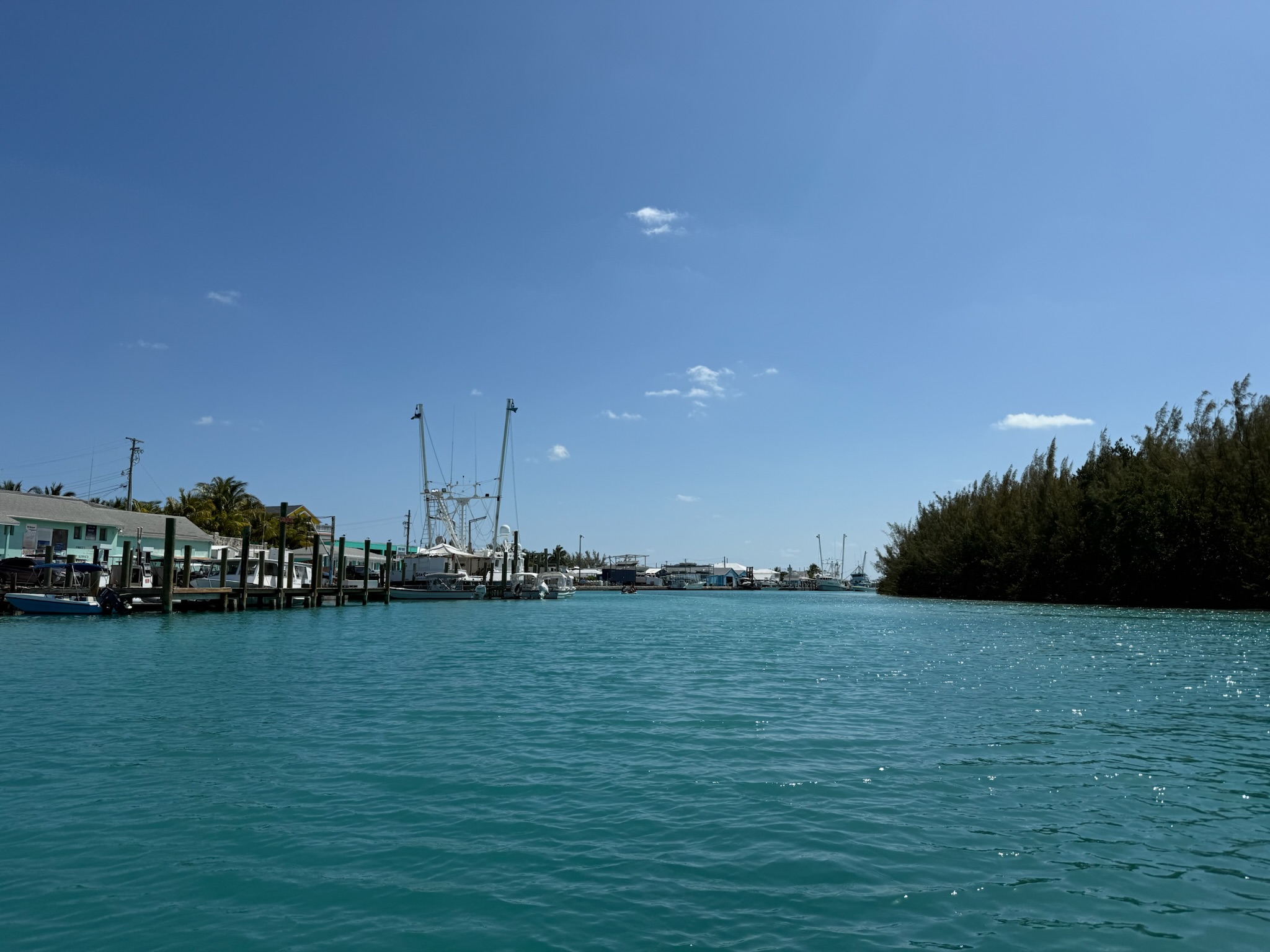
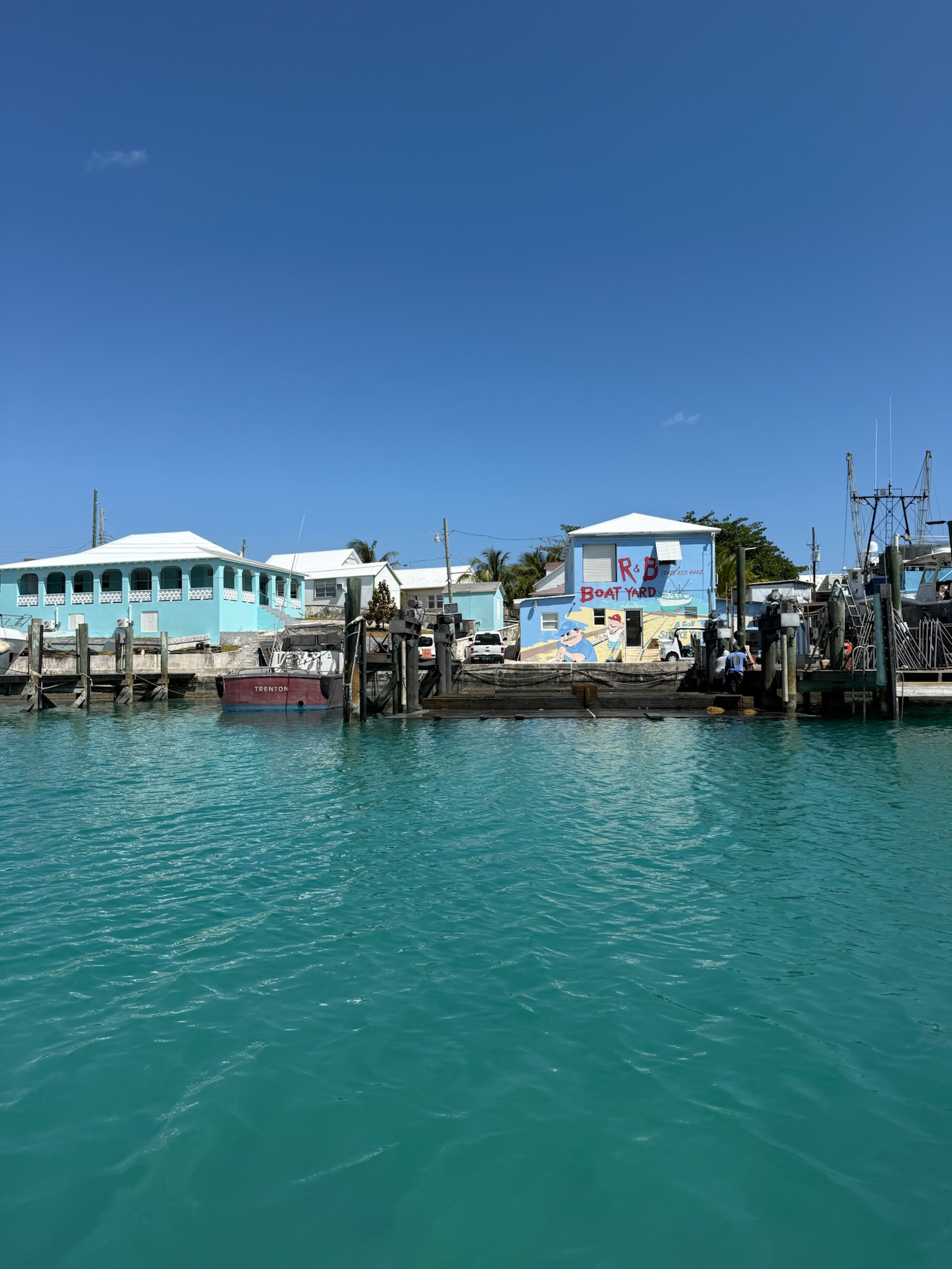
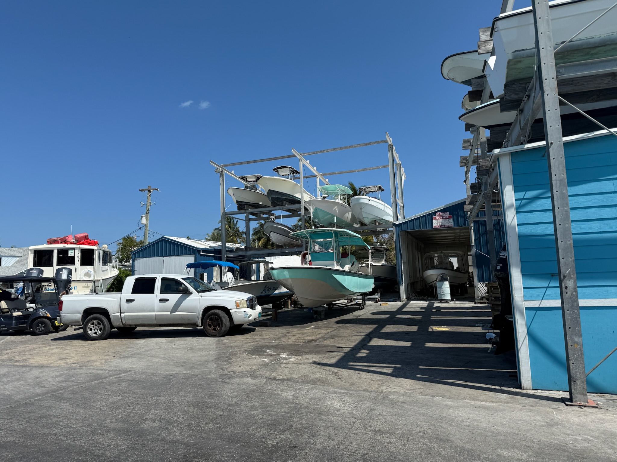
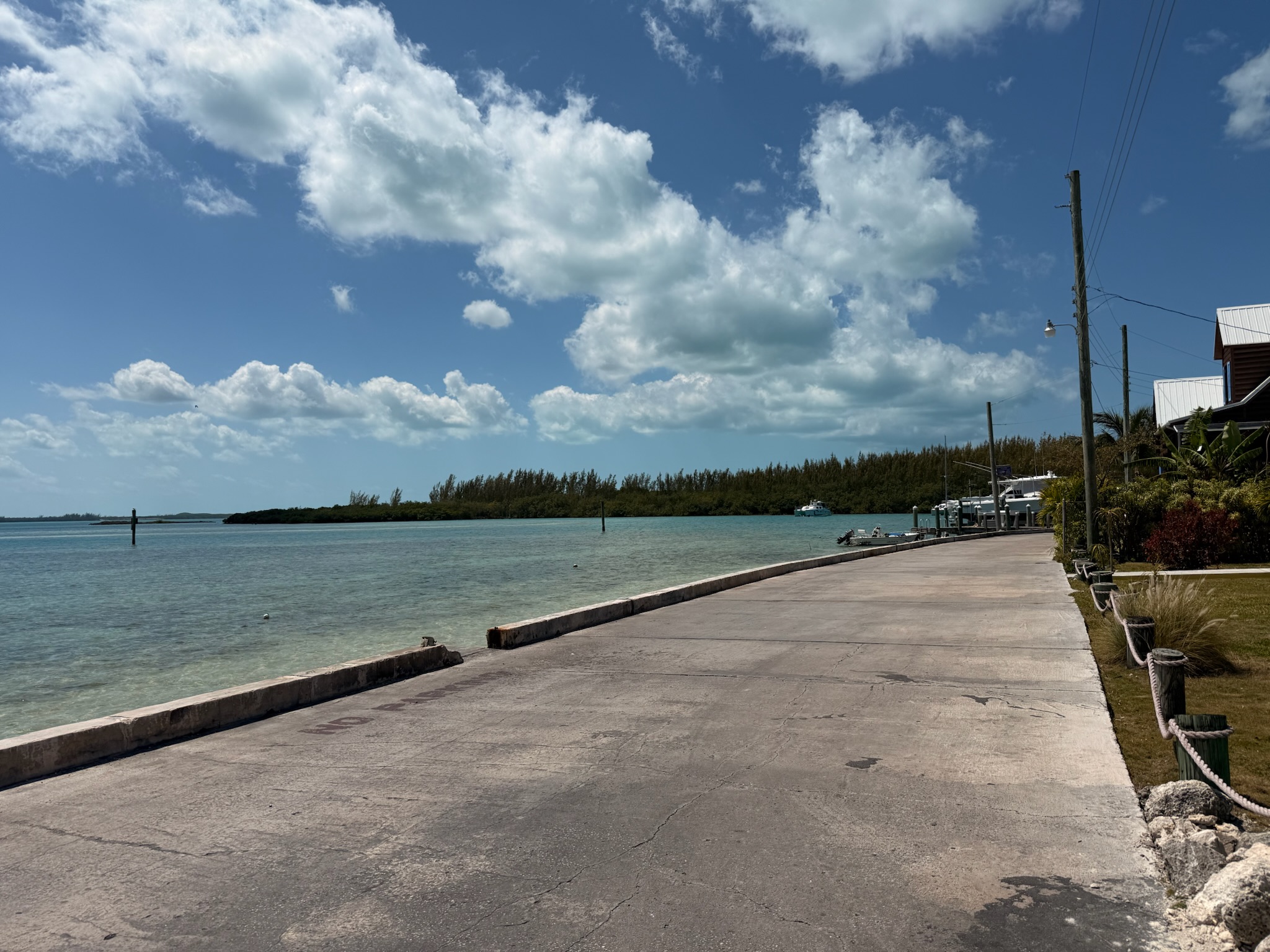
After we finished our morning school and chores, we dinghied back into town to rent a golf cart. This time, we went east in the channel. The east side was a lot more industrial/commercial than the west side. On the west side, it was mostly pleasure crafts; on the east side, there were more industrial fishing boats. We later found out that Spanish Wells was the fishing capital of the Bahamas, the largest supplier of lobster in the Caribbean, and the only location in warm water to have a certification for sustainable lobstering practices. The fishing industry was the primary source of revenue for this island.
There were also a couple of boat yards and a grocery store/fuel dock.
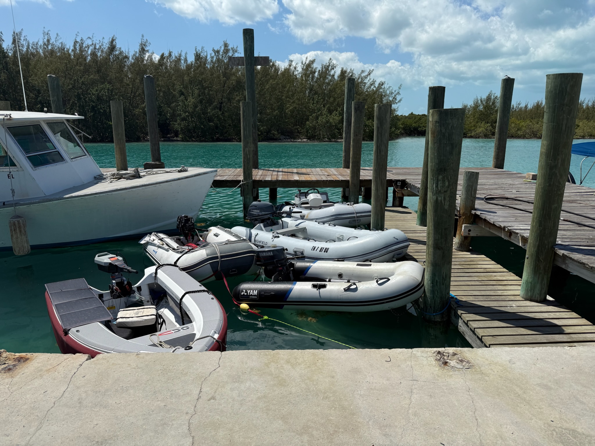
We spotted the golf cart rental place with no difficulty. However, we had a hard time finding the dinghy dock. It turned out to be at the gas station, but was hidden from view on the waterside by that boat at the end of the dock.
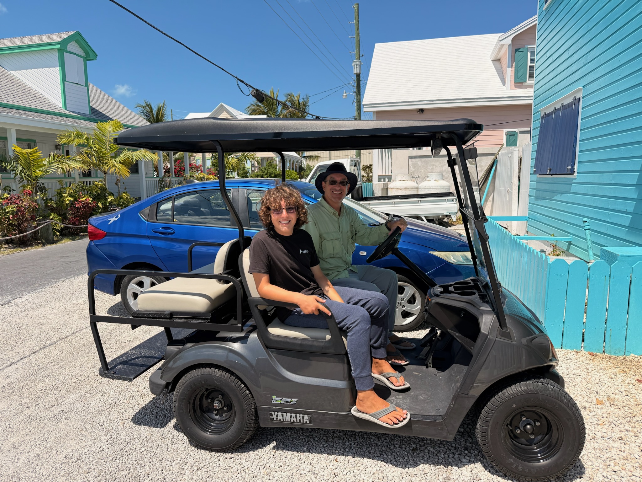
We got our cart and were ready to go! The driver’s side/steering wheel was on the right, but in the Bahamas, they drove on the left. The incorrect configuration made driving a little strange.
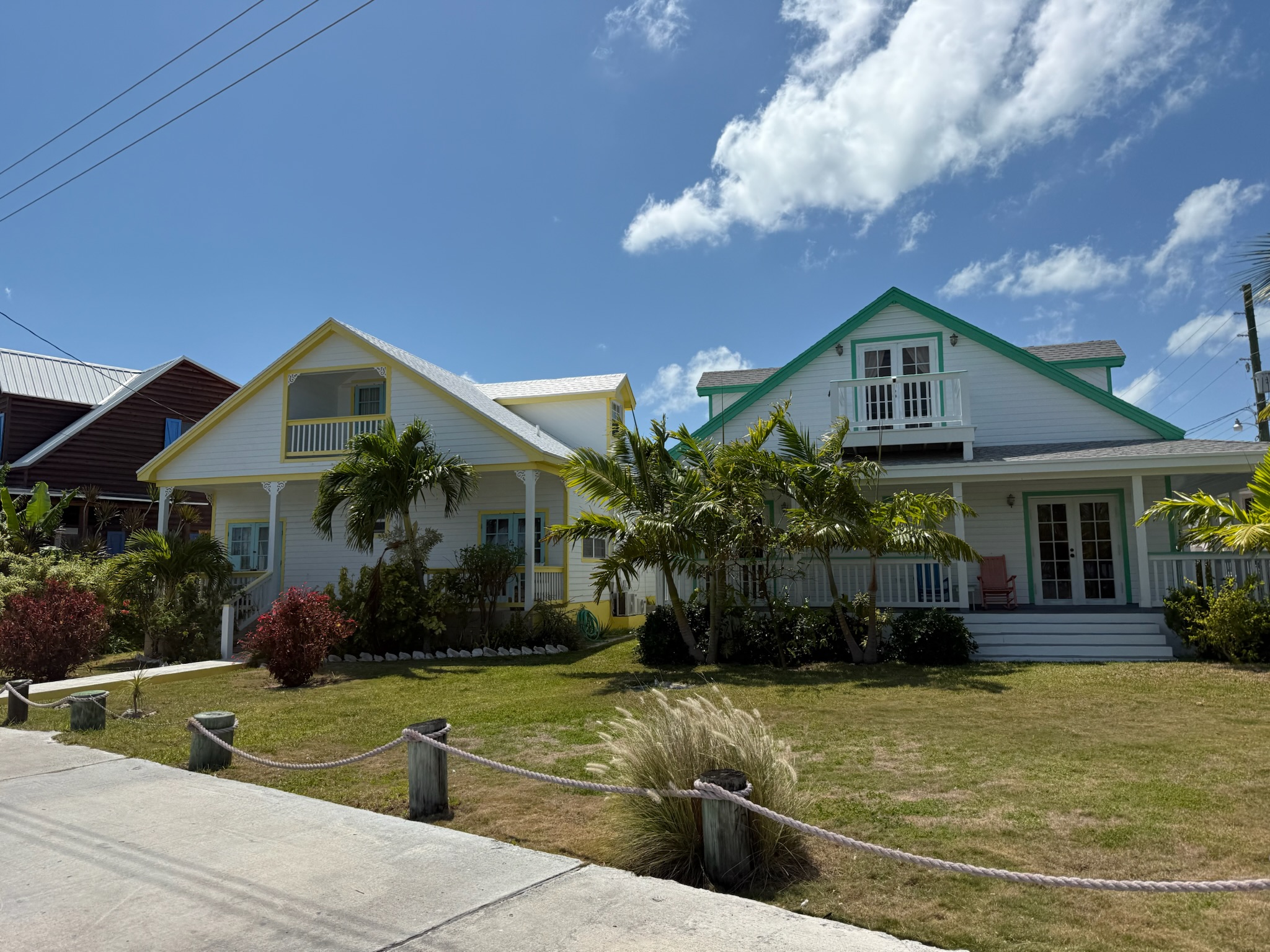
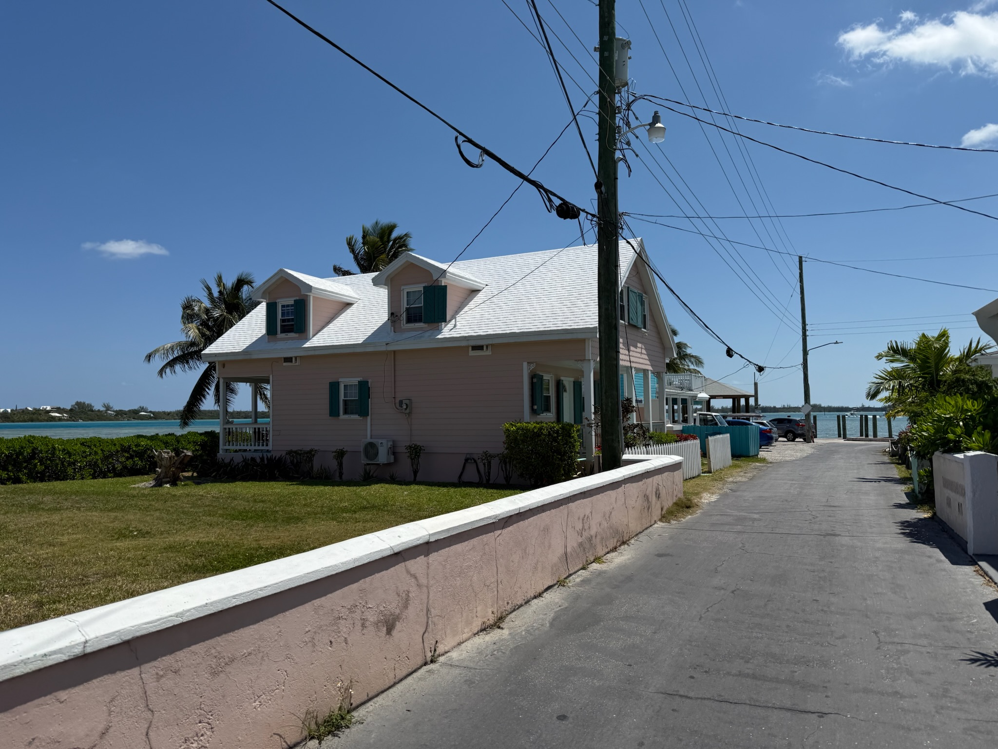
The shop where we rented the golf cart from was located near the southwest tip of the island. The houses along the western tip appeared to be historic homes. Eleuthera had been originally settled by Puritans of English descent (and their slaves) who’d fled from Bermuda due to religious persecution in 1648. In the mid-1600s, there was a rift between the Eleutherans, and some moved to Spanish Wells. These houses could be really old.
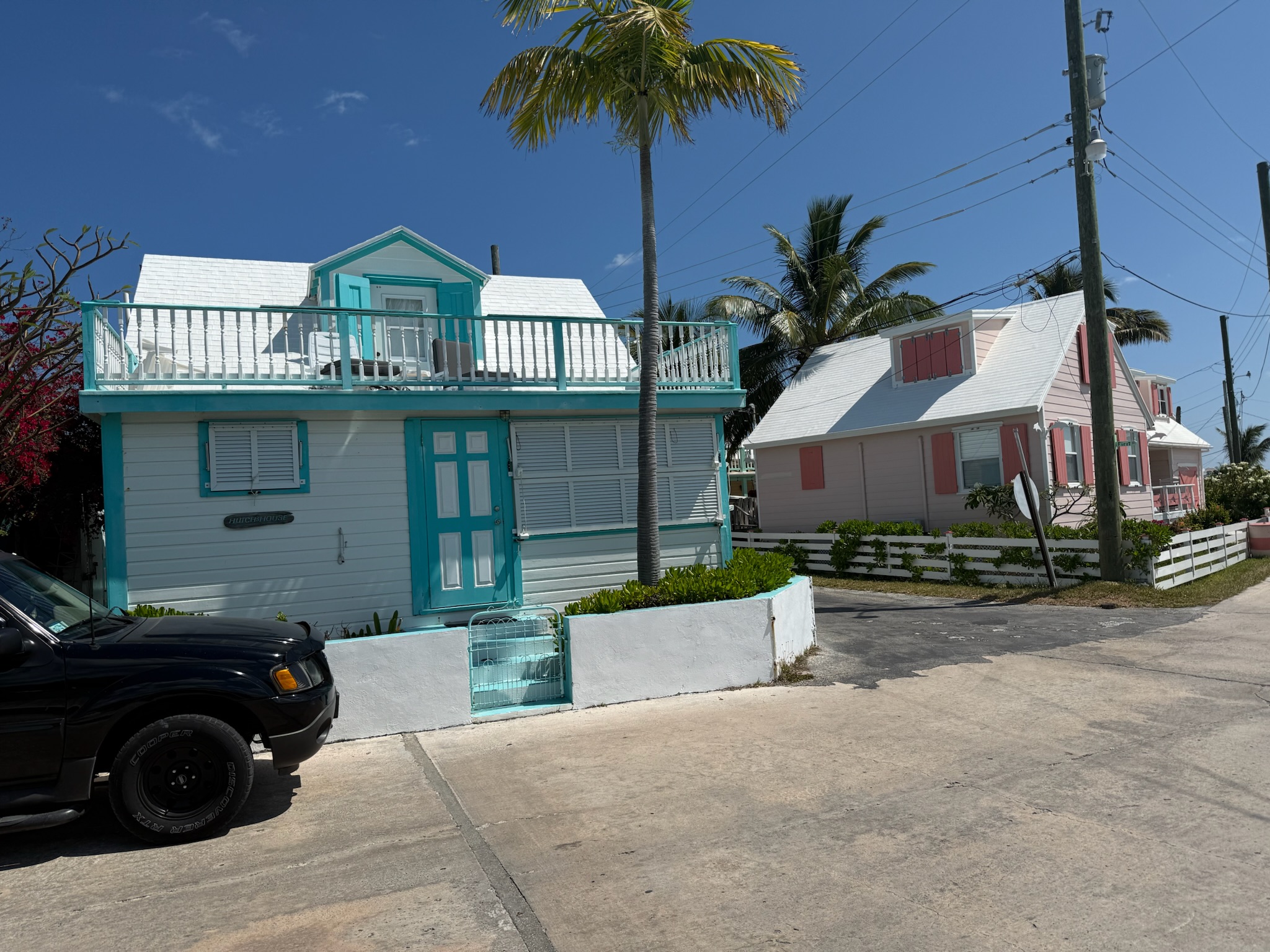
This side of the island was super narrow. This was the northwest tip of the island. The island across the way was Eleuthera.
Looking south from where we’d just come from — those roofs are the houses in the above photos and the island is Charles Island.
Looking east
We turned onto the main road through town. Here was a view of the northwest side of the island from a few houses away from the tip.
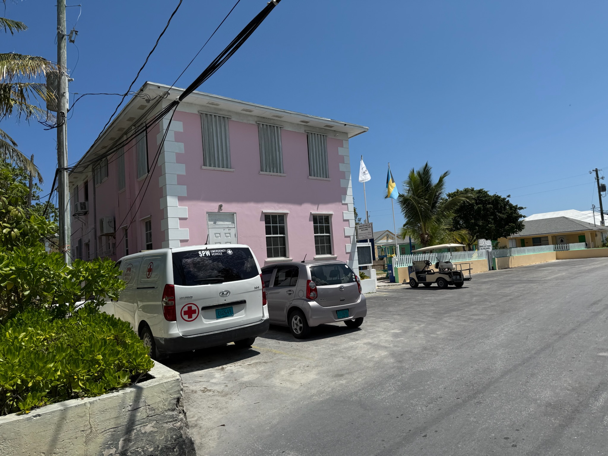
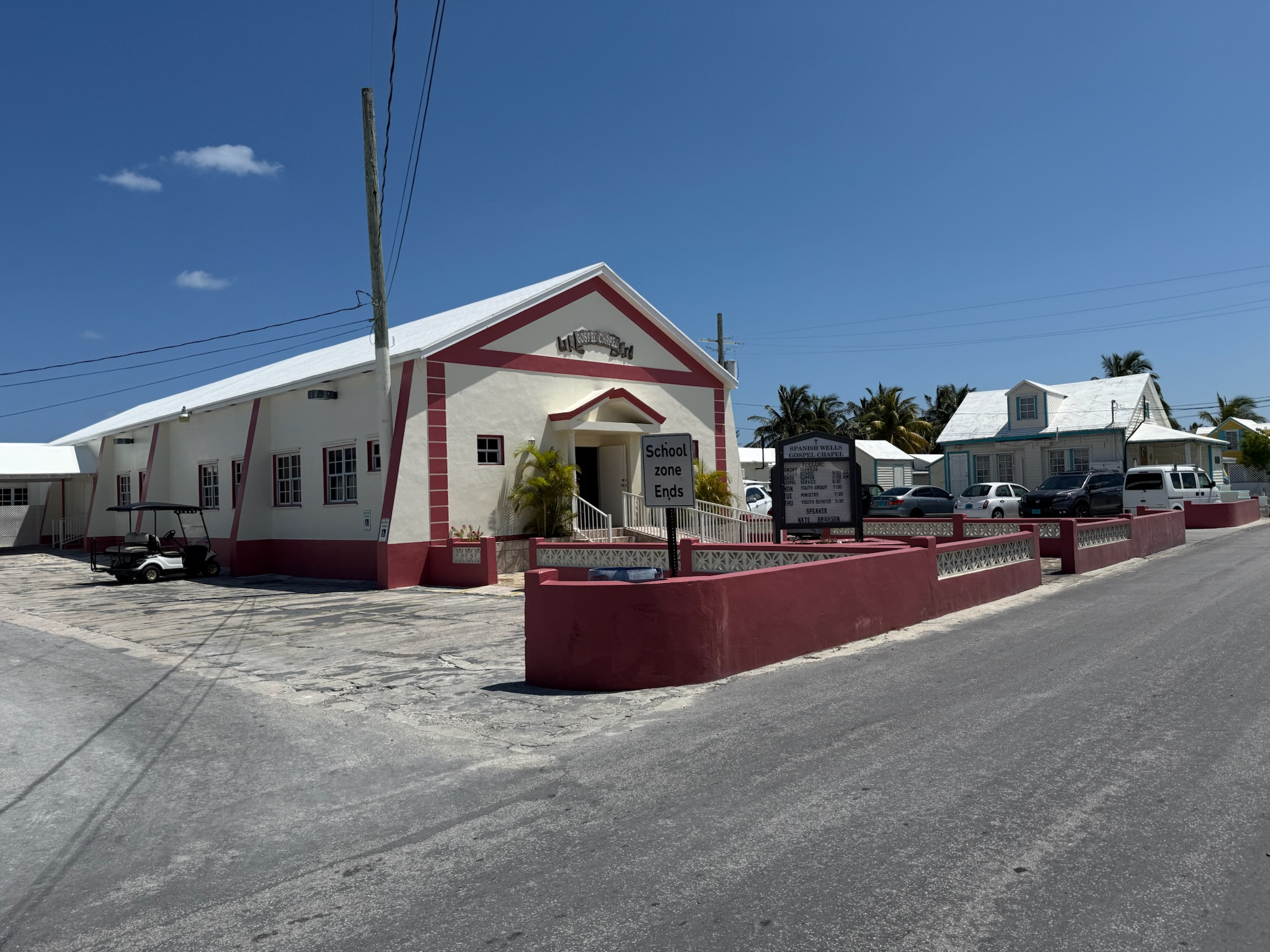
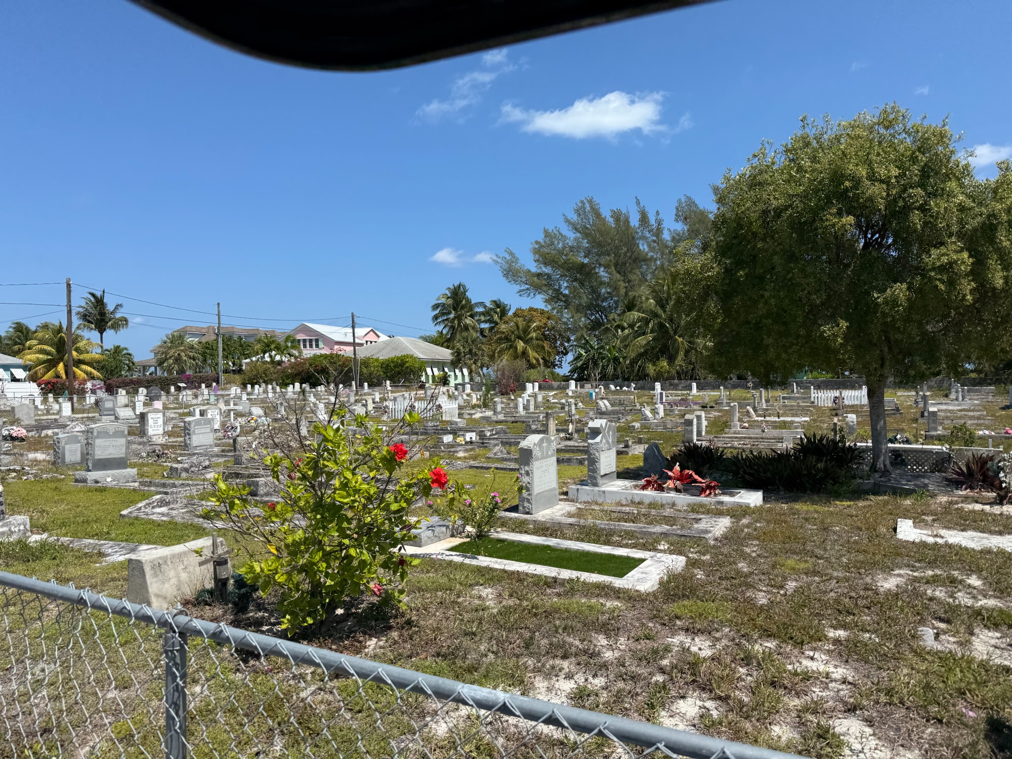
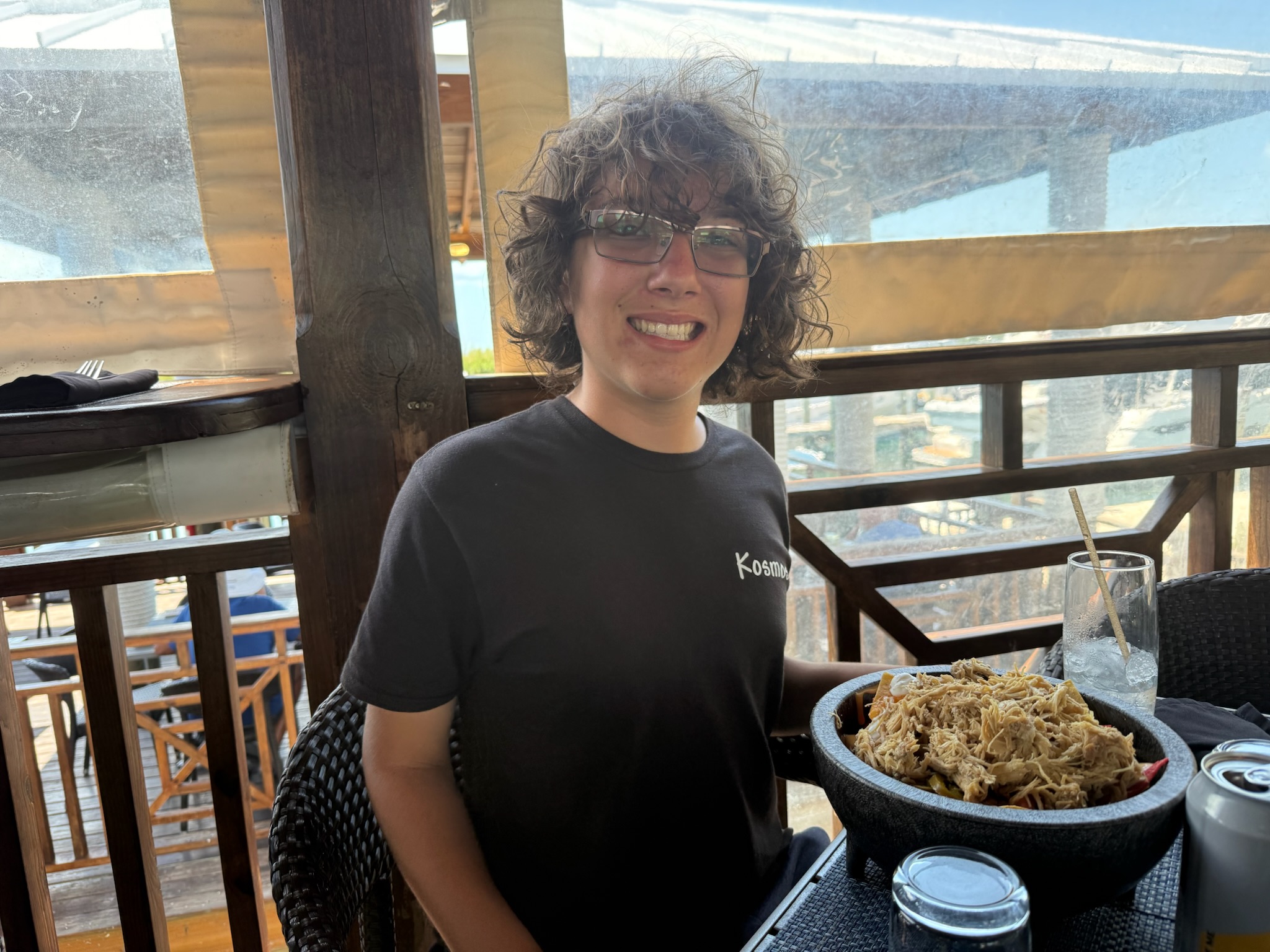
We decided to go to Wrecker’s for lunch. As we drove down the main road, we passed the usual town things — an all-grades school, a pre-school, a government administrative building, several churches, a cemetery, a couple of small commercial shopping centers, a home improvement store… and there were many cute houses in between.
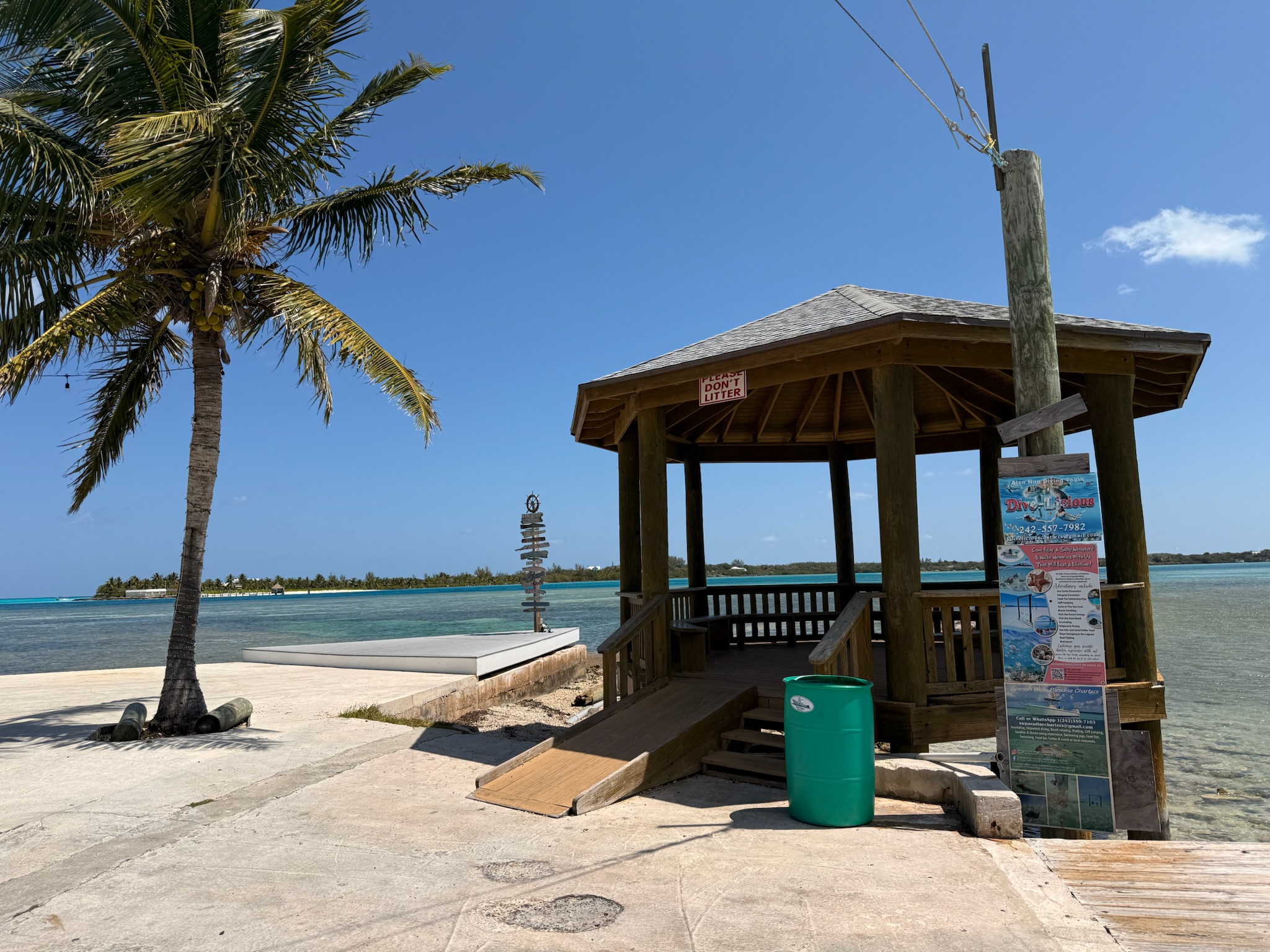
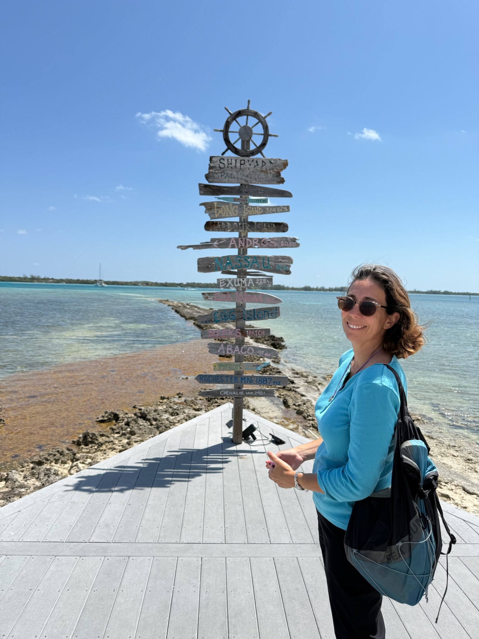
We turned onto the cross street that Wrecker’s was on and followed it to the waterfront. At first, we thought Wrecker’s was a terrible name for a marina restaurant, until we found out the name had significant historical meaning.
While the settlement at Eleuthera (mentioned above) was the first, many more people of English descent (and their slaves) settled around the Bahamas not long after — including Americans who’d fled the US around the time of the American Revolution because they were British loyalists. Another wave of Americans, particularly southerners, moved to the Bahamas around the time of the civil war, too.
The Bahamas were close to the sailing routes between Europe and the Caribbean, and in the Colonial era, shipwrecks were common. Salvaging wrecked ships, or “wrecking,” was the most lucrative occupation available to the Bahamians. The looting of wrecked Spanish and French ships led to conflicts with those governments. Spain and France retaliated by burning down some Bahamian settlements. In return, the Bahamians allowed pirates/privateers who targeted Spanish and French ships to use the Bahamas as their base of operations.
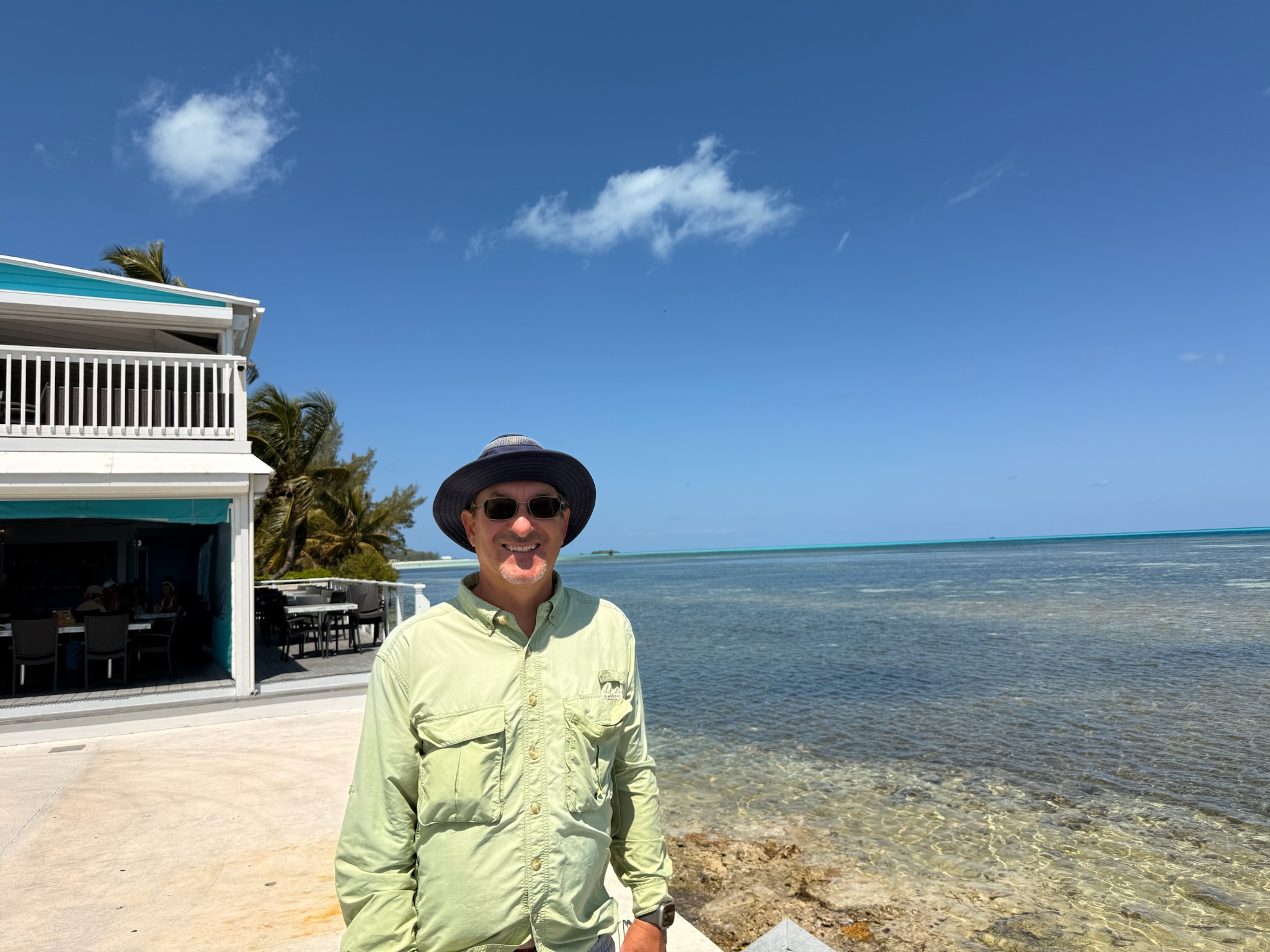
Wrecker’s had nachos and several Greek dishes on the menu, which was an exciting change of pace. Most of the restaurants we’ve been to in the Bahamas have similar menus: cracked conch, fresh fish (often served as fish tacos), and all-American food like burgers and sandwiches. Wrecker’s prices were comparable to the French Leave, but, like the French Leave, the portions were big.
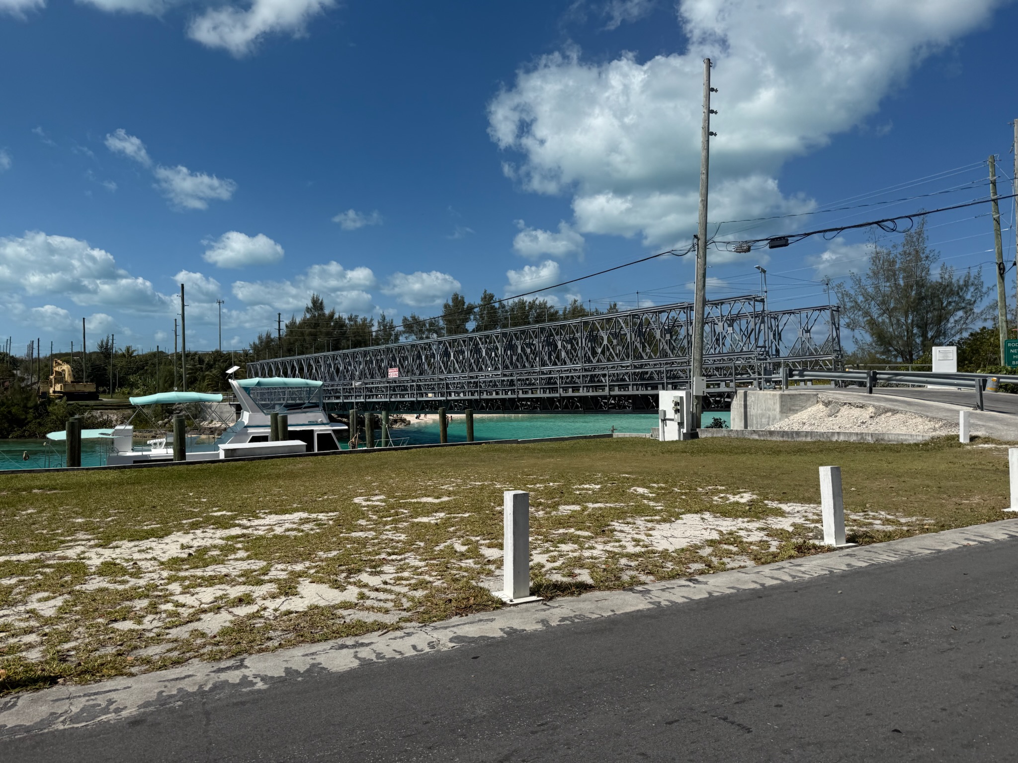
After lunch, we took the waterfront road to the southwest end of St. George’s Cay island. The land side of the road was mostly residential houses; the waterfront had lots of boats lining it and an assortment of businesses that were tied to the marine industry, such as a fresh fish market. We crossed the bridge to Russell Island.