
On Friday, July 4, Eric started the day by doing an inventory of spare parts we had onboard. He created a list of spare parts that we need to stock up on.
Karen had told us that Fort Monroe was having special events today. The events started at 0845 and ended with the biggest fireworks show in Virginia at 2115. We figured it was fitting to spend Independence Day at Fort Monroe since it was one of the most important locations in early American history and a pivotal part of winning the War of Independence. As the bird flies, the fort was on the southern tip of a peninsula just a little bit northeast of Morningstar marina, and to get there by car, we went through a tunnel under the James River.
The tip of the peninsula that Fort Monroe sat on was named Old Point Comfort. The king of England had authorized a colony to be established in Virginia, and Old Point Comfort was the first place the new settlers had stopped upon entering the Chesapeake Bay in 1607. They picked the name Poynt Comfort because it was a deepwater port that was safe for ships, and the local indigenous people were kind to the newcomers. The signs didn’t clarify when the “Old” was added to the name.
The settlers wanted to set up their new colony there, but the charter issued by the king had ordered them to go farther inland, so they set up Jamestown farther northeast. Two years later, the colonists realized that since the mouth of the Chesapeake was visible from Poynt Comfort, it was an important lookout point to watch for any Spaniards or Portuguese invaders, so they built a fort at Poynt Comfort.
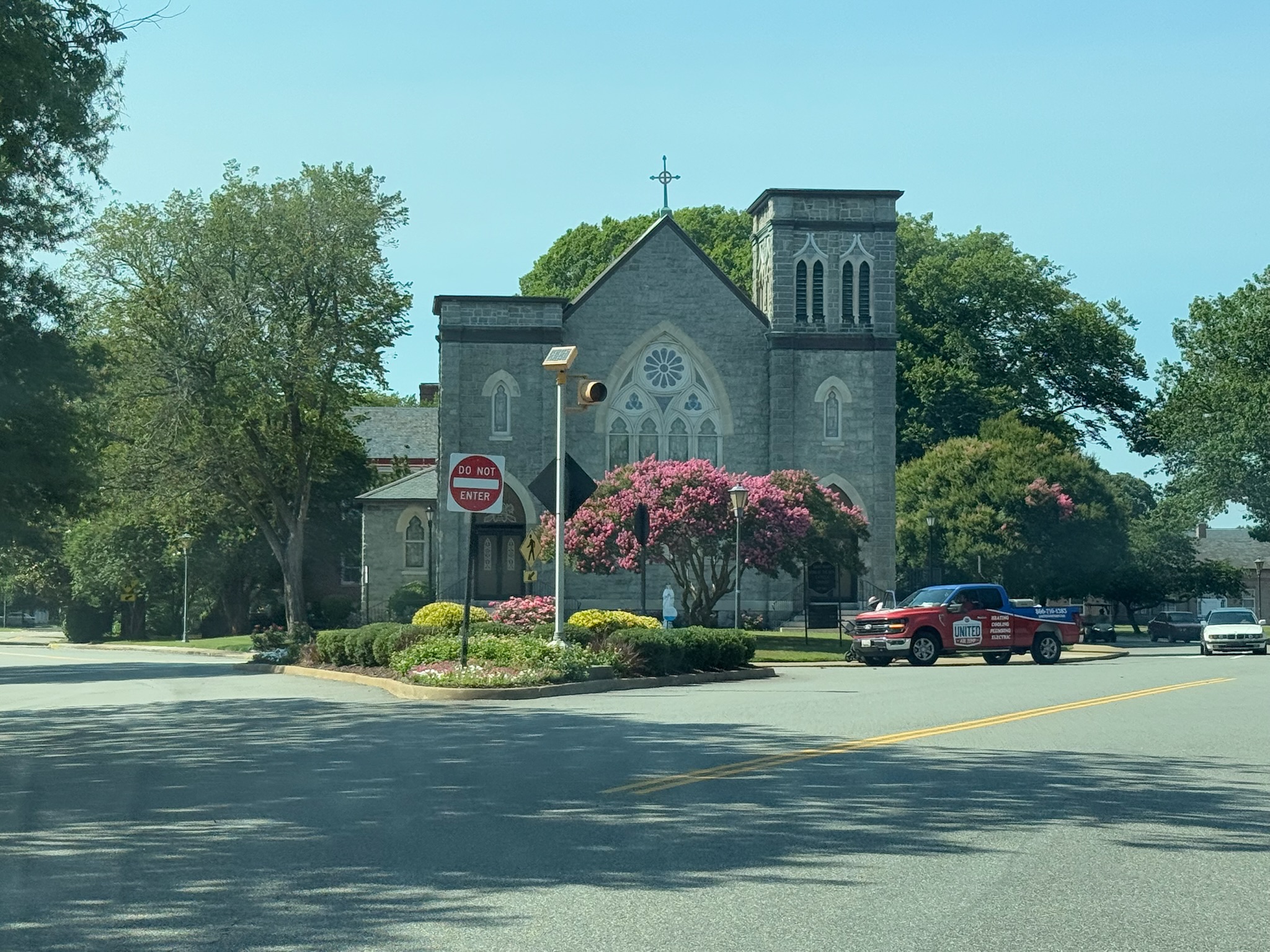
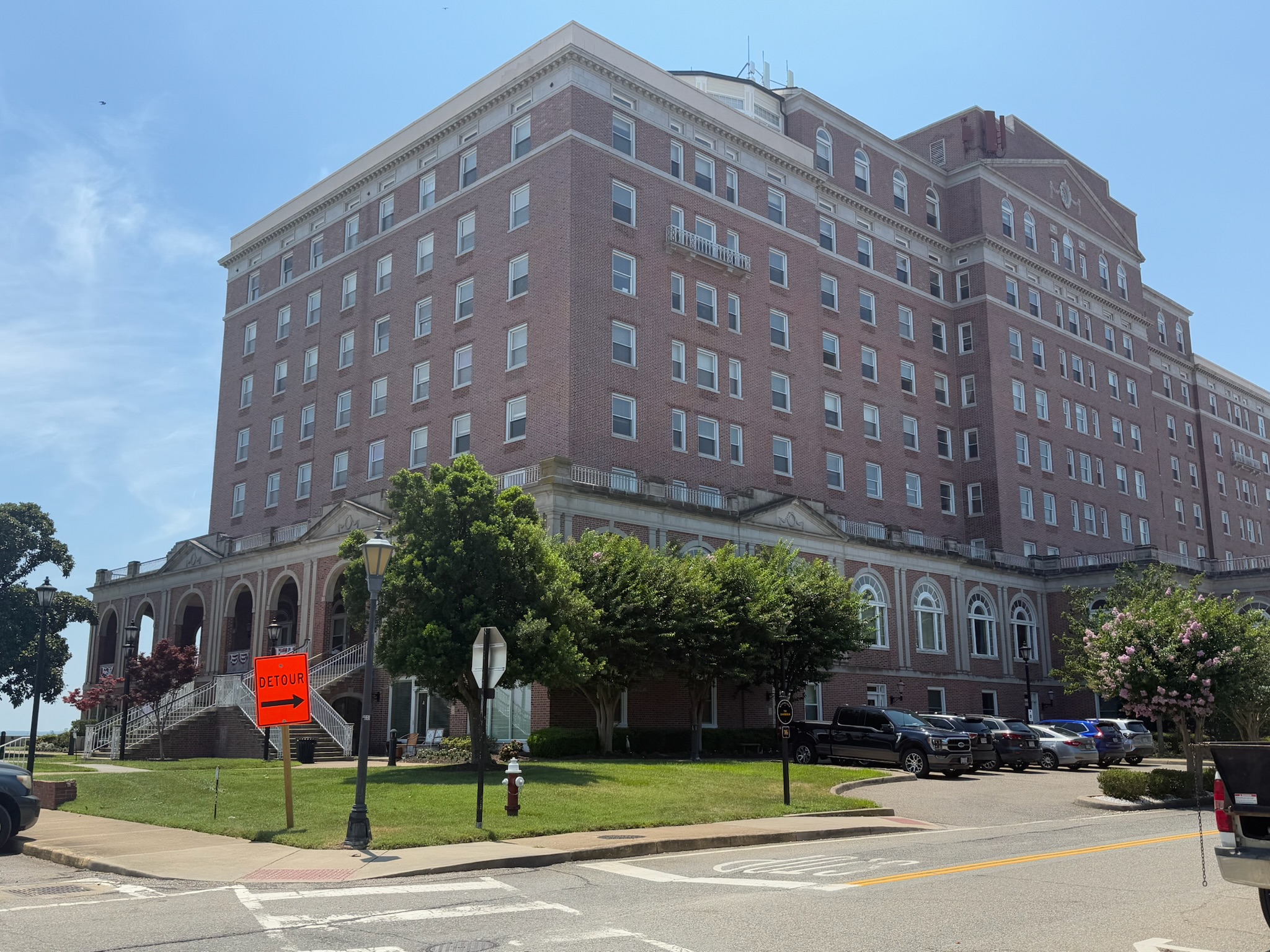
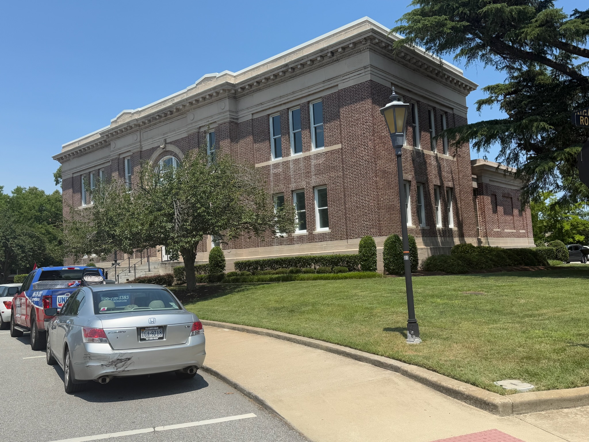
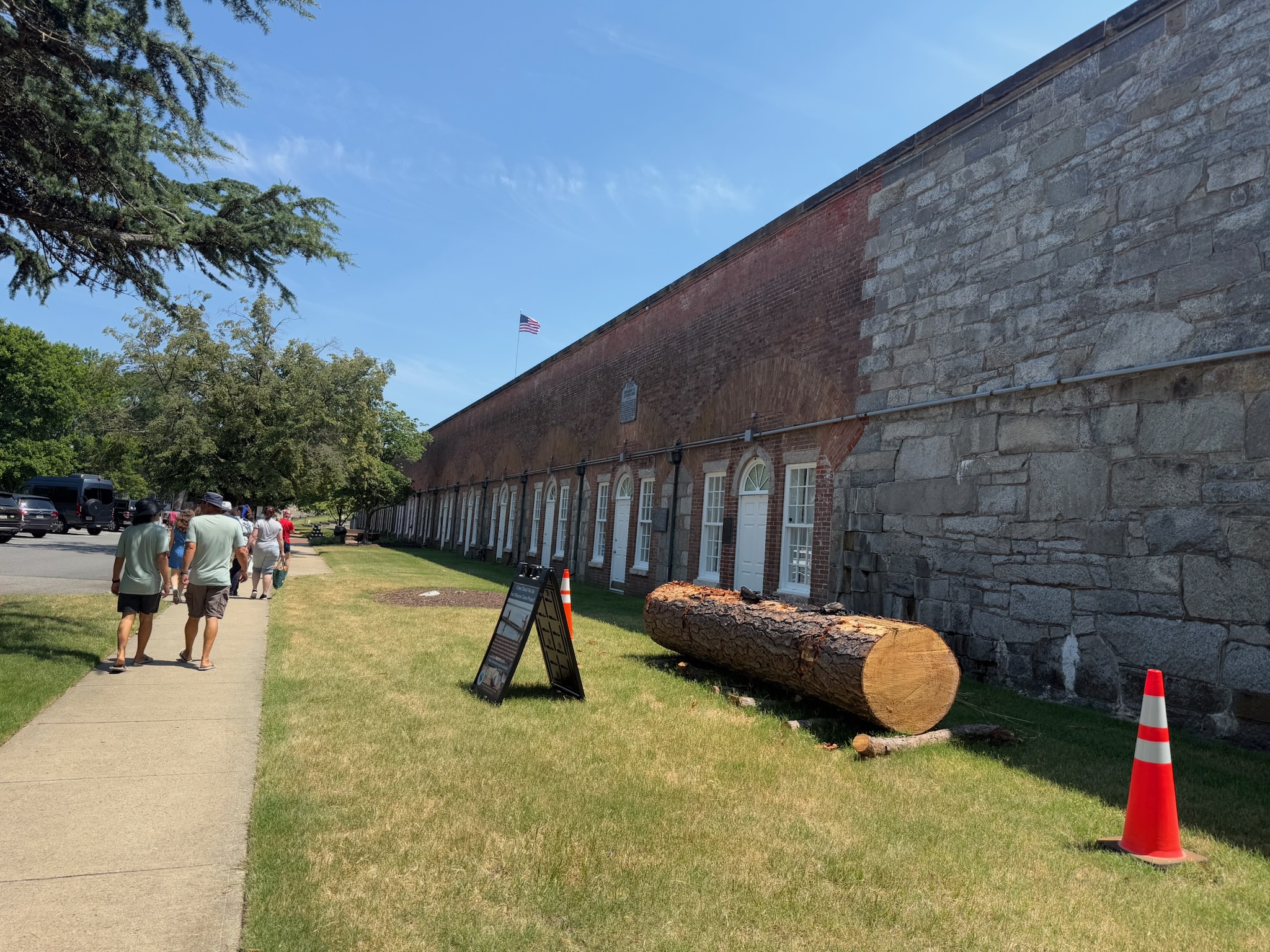
As soon as we drove into the fort, we were struck by how it didn’t look at all like a modern military base. The bases we were used to seeing had blocky, utilitarian buildings. We passed dozens of charming old brick buildings. Most appeared to be residential buildings, and they looked occupied.
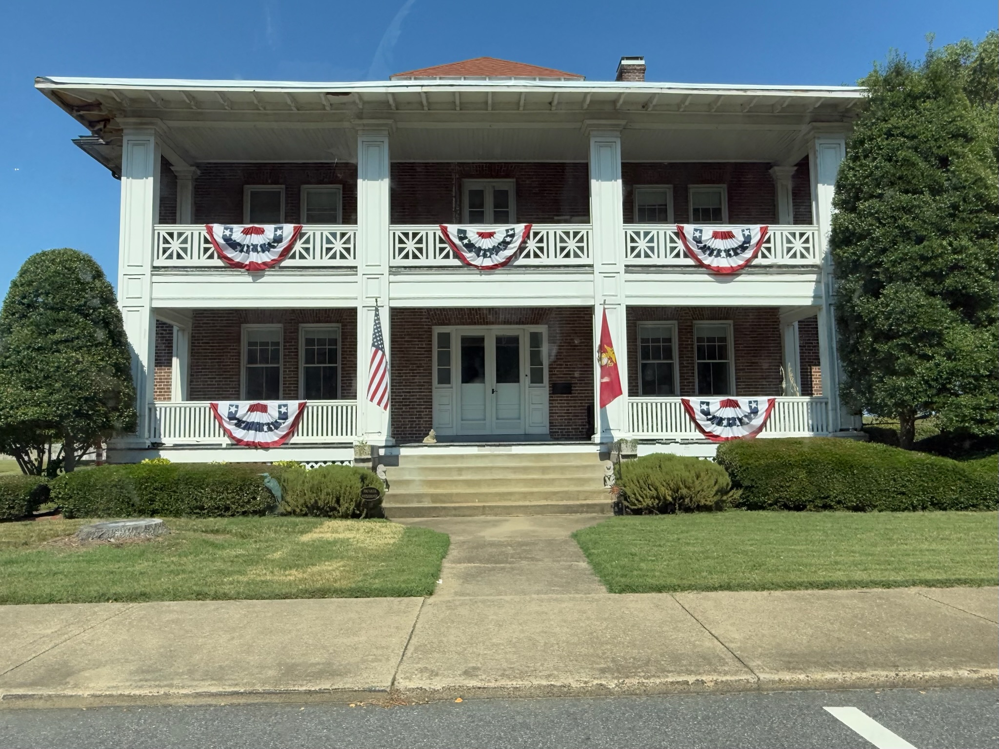
We also saw a church and a building that looked like it may have been a hotel.
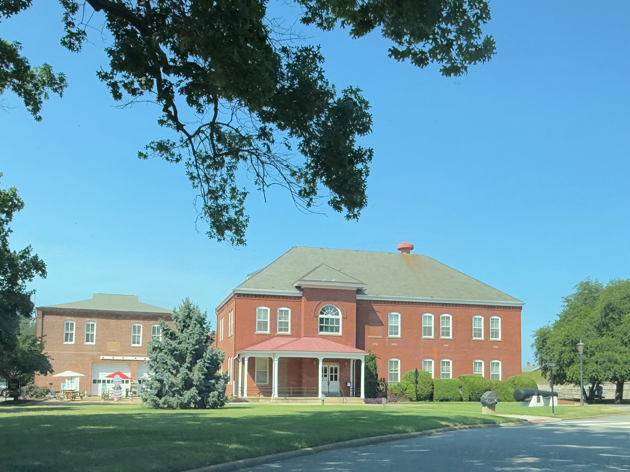
We followed the signs to a large grass area where the event was supposed to be taking place. There were only a handful of vendor stalls set up on the grass, and only a handful of patrons milling about. The brochure had said that they were giving free tours of the inner fort, so we went to the nearby Visitor’s Center to see about joining a tour.
There were several different tours offered. The sign said they were each 45-minutes. We’d just missed the 1330 tour, and the next tour began at 1400. While we waited, we pursued the small museum inside the Visitor’s Center. There was what appeared to be a temporary exhibit about Virginia’s involvement in the War of Independence.
By the time the war broke out in 1775, Virginia was the largest, wealthiest, and most populated of the colonies, which gave Virginia a great deal of political influence. What was then Virginia has since been broken up into West Virginia, Kentucky, Indiana, Illinois, and parts of Pennsylvania and Ohio. Its primary revenue source was from growing tobacco, and 40% of the population were slaves. Membership in the Church of England was required to vote or hold political office, which essentially made it a state religion. People of “dissenting religions” were often persecuted. All white, able bodied males were required to participate in regular militia trainings and to serve in the militia on demand.
In December 1773, civil unrest began in Boston with the Tea Party, where the Patriots boarded a merchant ship and destroyed 92,000 pounds of imported tea as a protest to the tax on tea. The British responded by passing the punitive Coercive Acts and closing Boston Harbor. At the time, Williamsburg was the capital of Virginia. The people of Williamsburg organized a day of fasting and prayer to support their sister colony in Boston. It sounded like the colonists met in person to do this fast/prayer session together. Governor Lord Dunmore broke it up and made everyone go home. The Virginians decided it was time to unite the colonies together and created a new extra-legal legislative body, called the Continental Congress, with representatives from all thirteen colonies.
In 1774, Governor Lord Dunmore ordered land to be seized from the indigenous people by force, so there was mounting troubles with the indigenous people, as well. In November 1774, the residents of Yorktown, VA had a Tea Party of their own, which scared the merchants into no longer importing British goods.
In April 1775, Governor Lord Dunmore was concerned about the growing threats to his authority, so he ordered the Royal Marines to seize all the gunpowder in Williamsburg. This led the Patriots to order a boycott of goods imported from Britain. Participation was required, but the signs didn’t make it clear if it was required in all the colonial states or only in Virginia. If any of the colonists were caught buying British goods, they were publicly humiliated with tarring and feathering. In June 1775, Dunmore fled from Williamsburg, but continued to command from aboard a ship. In November 1775, Dunmore proclaimed that the colonists were in open rebellion and declared martial law. Dunmore offered freedom to any indentured servant/slave who would fight for the British, and 300 indentured servants/slaves joined the British military.
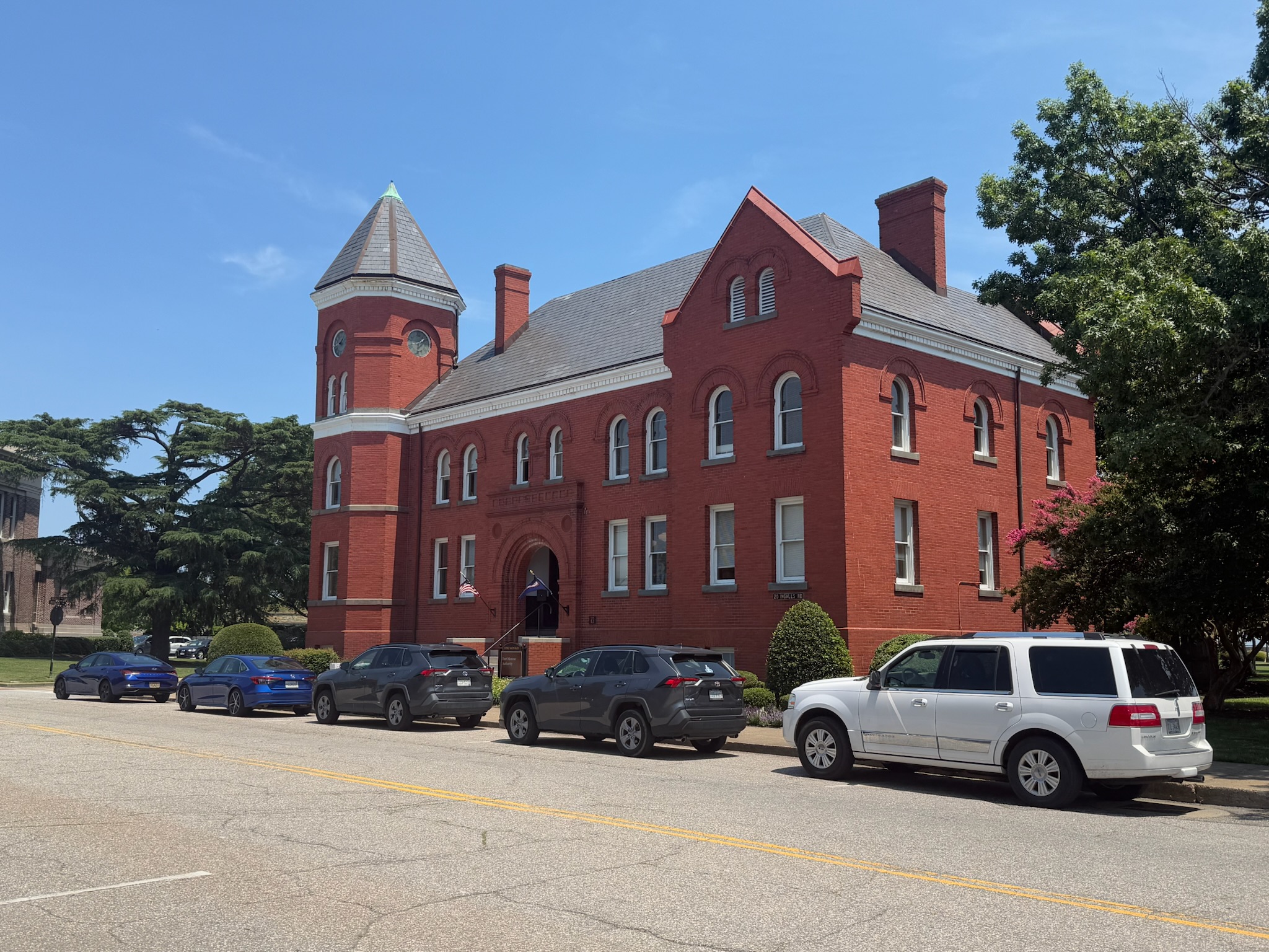
One of the permanent exhibits focused on the base itself. There had been three previous forts at Old Point Comfort: two were destroyed and one was neglected to the point it couldn’t be salvaged. Construction of the current fort began in 1819 and was completed in 1834. It was named after President James Monroe. In 1824, it began operating with the US Army Coast Artillery School. The building the Visitor’s Center was in used to be the school’s library. After World War II, the school was moved to San Francisco. Over its 188 years of service, the fort grew. Many different commands were housed in the fort with overlapping time intervals. One of the last and most prestigious was as the headquarters for the US Training and Doctrine Command (TRADOC), which oversaw all army schools. TRADOC began in 1973 and was housed there until the fort closed in 2011.
The fort, as it stood upon deactivation, was 63-acres and was the largest masonry fort in the US. Thousands of people helped build it: primarily slaves, though plenty of convicts, military personnel and contractors also participated in the construction. In 1960, the fort was designated a National Historic Landmark. In 1975, it was placed on the National Register of Historic Places. In 2011, Fort Monroe was deactivated as a US Army installation and was declared a National Monument.
The other permanent exhibit was about the early days of Virginia, and focused heavily on slavery. Ironically enough, slavery in the colonies both began and ended at Old Point Comfort. The colonists figured out that the best way to make money was to grow tobacco, which was a labor intensive crop. The colonists were utilizing indentured servants, who worked on plantations for few years to pay off the debt of the passage from Europe. But the plantations were expanding and owners were struggling to get enough indentured servants to meet the growing labor needs.
By 1619, the Portuguese slave trade was well established, taking slaves from Africa to the Spanish and Portuguese colonies in the New World. In 1619, two British privateer ships worked together to overtake a slave ship and steal the “cargo.” Being under British protection, they headed for Virginia for refuge. Slavery was illegal under British law, so that first load of “cargo” was stealthily traded in Point Comfort. The plantation owners loved having “help” with the crops and laws were changed to make slavery legal.
The Civil War began on April 12, 1861. On May 23, 1861, Virginia seceded from the Union. Fort Monroe was still under Union control. That same day, three escaped slaves sought refuge at the fort. A Confederate soldier, acting on behalf of their owners, went to Fort Monroe to retrieve the slaves. It was required under the law that Fort Monroe give them back to their owners. However, Major General Butler, the newly appointed Commander of Fort Monroe, refused. He argued that since Virginia had seceded, Union laws no longer applied. Since Virginia viewed slaves as property, Butler declared that he was confiscating the men as contraband of war. While the men were never actually freed, they were allowed to live in the fort and work there for an income under the protection of the Union soldiers.
Word quickly spread, and soon there were thousands of escaped slaves seeking refuge at Fort Monroe. It was dubbed “Freedom’s Fortress.” Once the numbers got to be too many to house onsite, the fort set up “contraband camps” that were administered by American Missionary Association and protected by Union soldiers. The missionaries educated the refugees and the military provided medical care. Many of these camps evolved into permanent dwellings. Hampton University, a historically black university that is still in existence today, was born in one of these camps.
When the tour began, the guide, Rachel, started inside the museum and gave more information beyond what was on the signs. For example, she explained how, during the Civil War, the Union managed to keep control of the fort despite it being in the middle of a Confederate area. The summary was that it was a strategic location that was difficult to attack.
She also said that during the War of Independence, after the British offered freedom to slaves who fought in their military, the Patriots made the same offer. However, after the war ended, the freedom wasn’t automatic — the slave soldiers had to petition the government, and they were put through a terrible amount of bureaucracy. Many were denied the freedom that they’d been promised, and those who did get their freedom were not allowed to live in Virginia. If they stayed for more than twelve months, they’d be re-enslaved, so many newly freed men had to leave their families behind.
She also got into detail about the local indigenous tribes that were living in Old Point Comfort and the surrounding areas when the British began colonizing the area, the attitudes the different tribes had towards the newcomers, and what led to the deterioration of relationships between them.
Then we went outside and crossed the drawbridge into the inner fort.
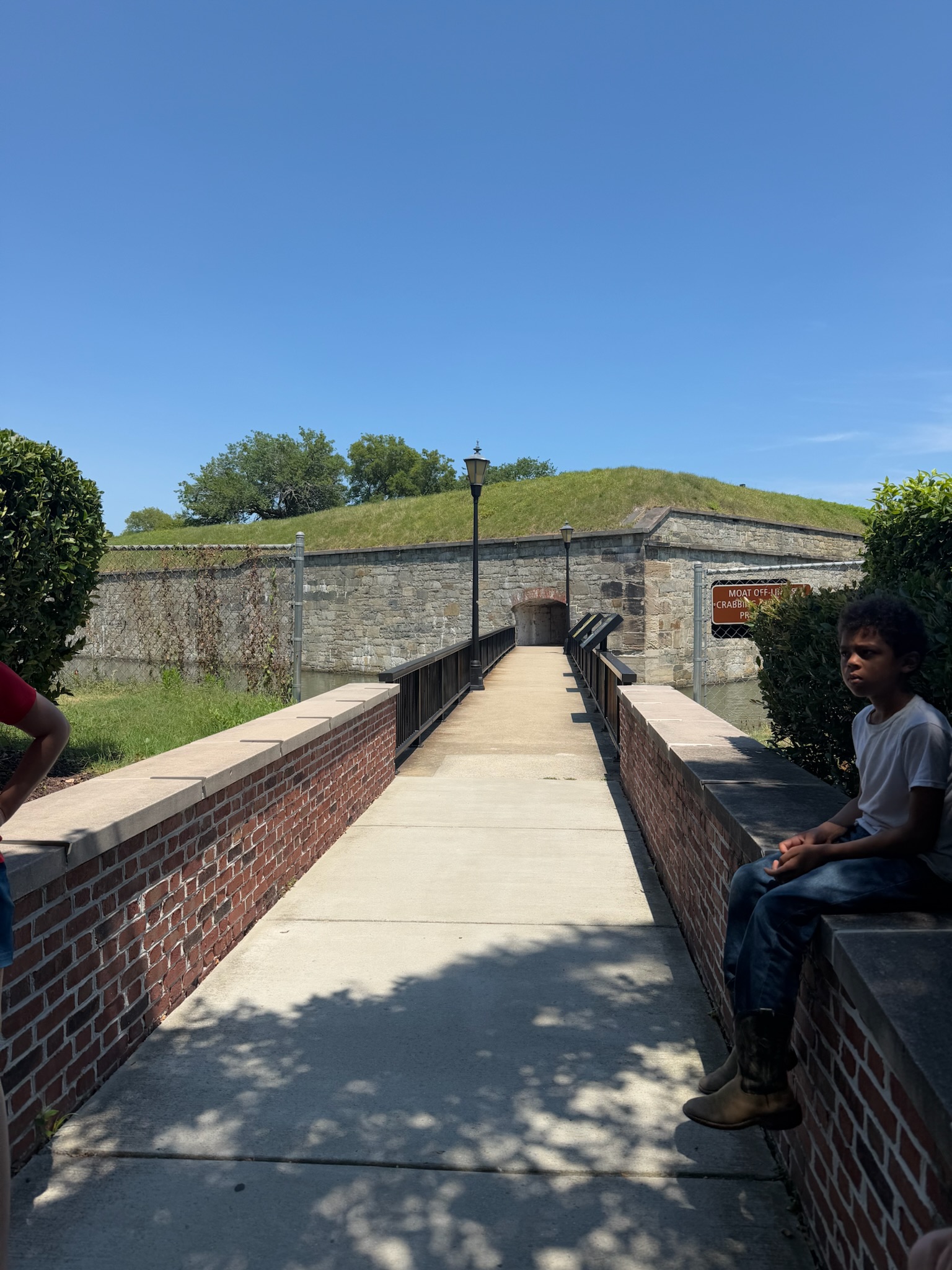
The inner fort was literally a fort with the fort. The two were separated by a moat that circled the inner fort. Back then, the only connection to the outer fort was via draw bridges. While the fort was under construction, the moat was utilized to bring constructions materials in by barge. The moat was originally 8-feet deep, but Rachel said that with sediment build up, it was probably pretty shallow nowadays.
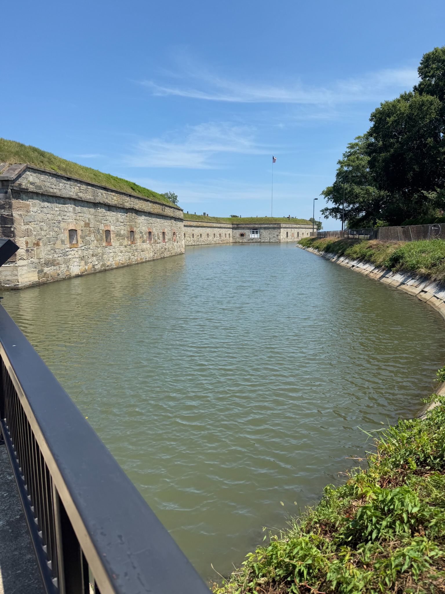
We stopped on the other side of the bridge, in the middle of a long, relatively thin dome shaped room that looked a lot like the Castillo that we’d visited in Panama. She gave a lot of information about the construction of the inner fort. Three forts had already been lost here, one to a hurricane, one to fire, and one to neglect, so this version was stoutly built. The room we were standing in was called a casemate, which meant a fortified chamber. Apparently, the entire perimeter of the inner fort was a series of casemates.
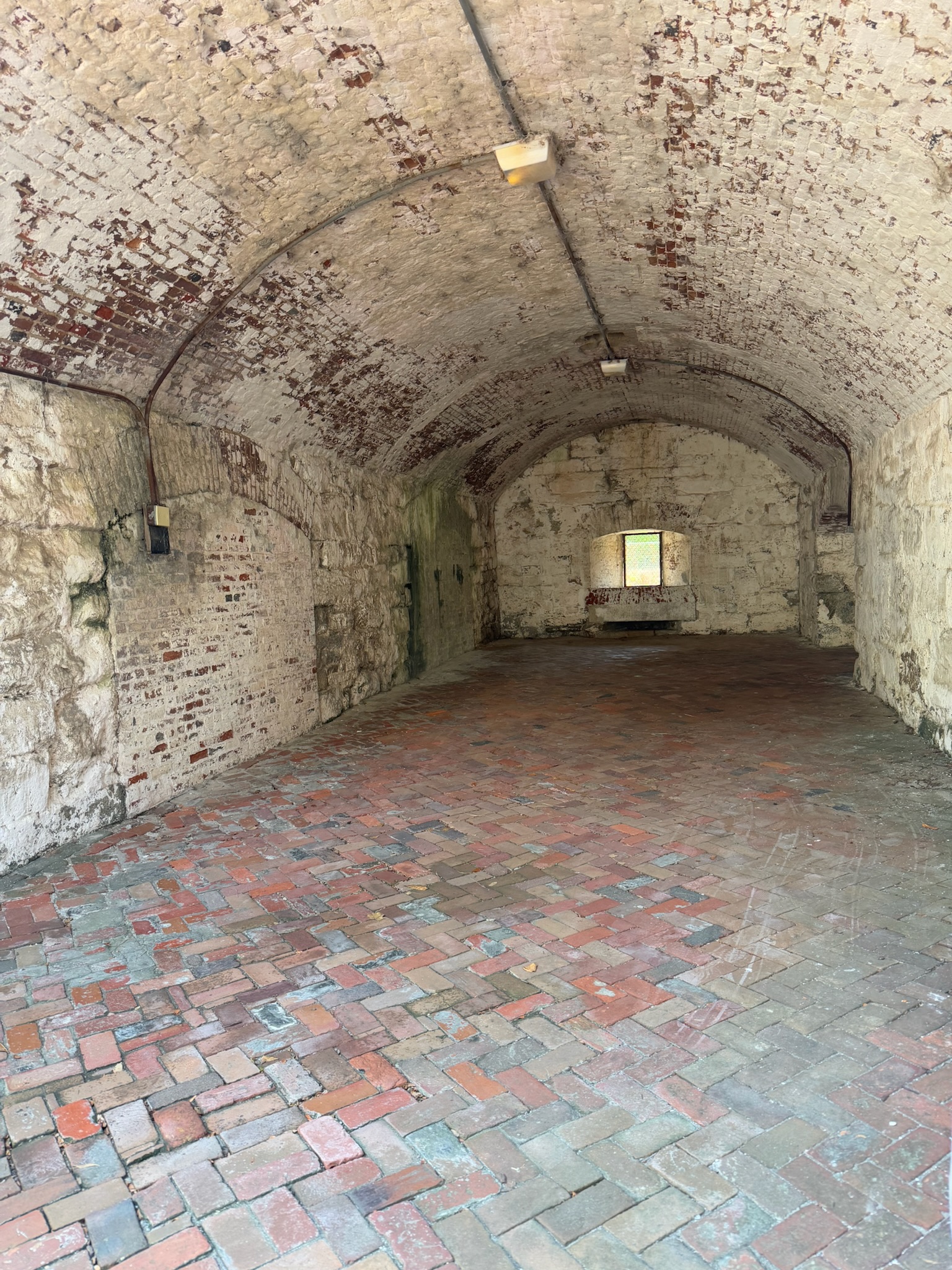
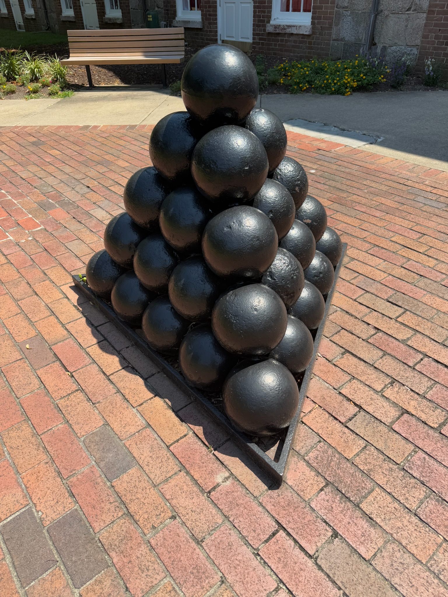
She explained that over the years, the way the casemates were utilized changed many times as the military figured out what did and what did not work. For example, they had originally housed cannons, and the army quickly figured out that having cannons indoors was a bad idea with the loud boom and smoke they gave off. Eventually most of the casemates became administrative offices, and after the fort closed, a portion of the casemates were turned into The Casemate Museum. Here was one of the old canons on display.
From there, we walked along the casemate structure to one of the bastions, which were look out points on top of the casemates.
This was a looking back at the Visitor’s Center — you can see the moat and the casemate structure lining the moat.
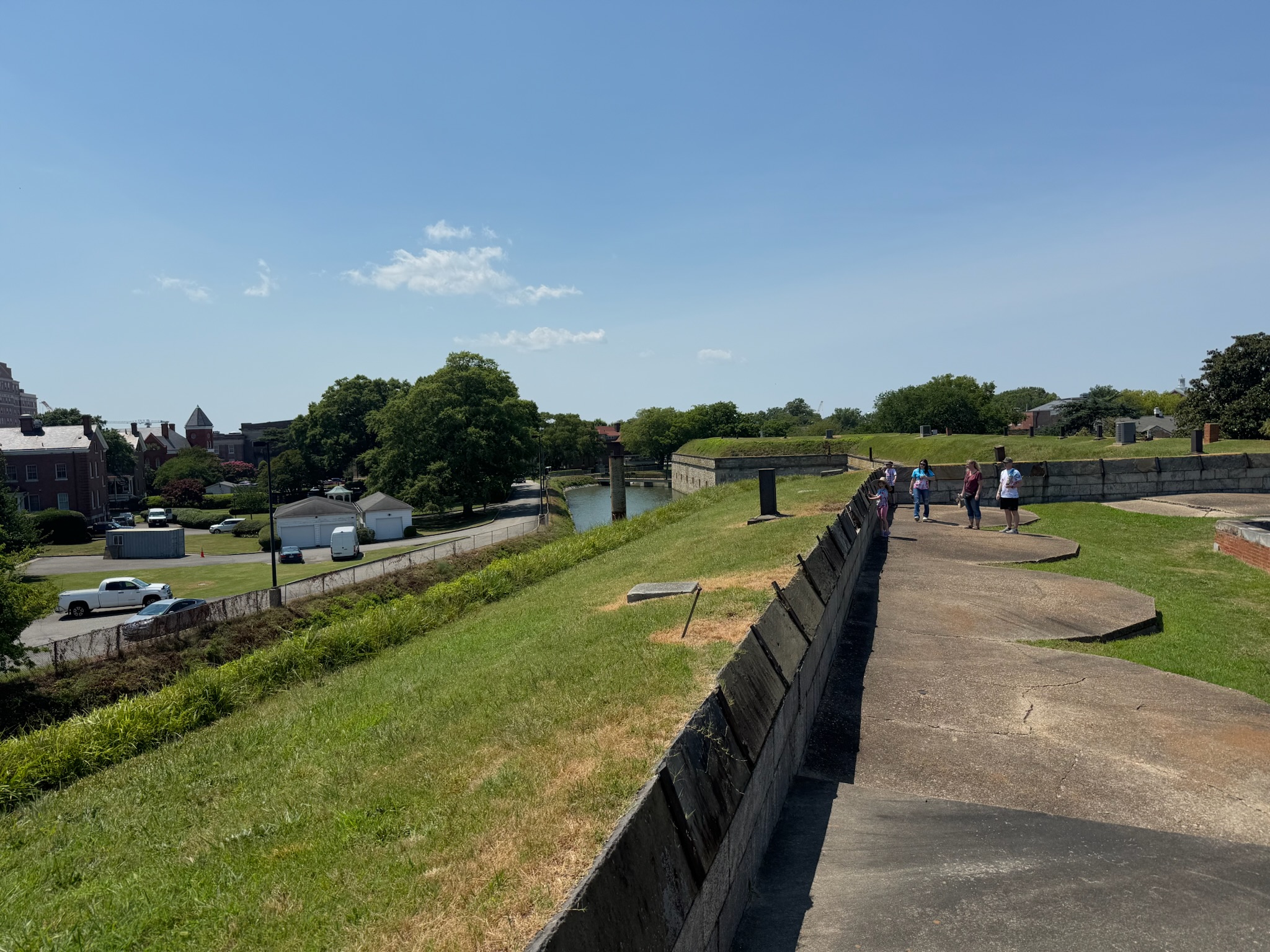
This bastion had a stunning view of both the mouth of the Chesapeake and the section of the bay called Hampton Roads, which was a wide, deep water channel between Old Point Comfort and Norfolk that served as the entrance for the James, Nansemond, and Elizabeth rivers.
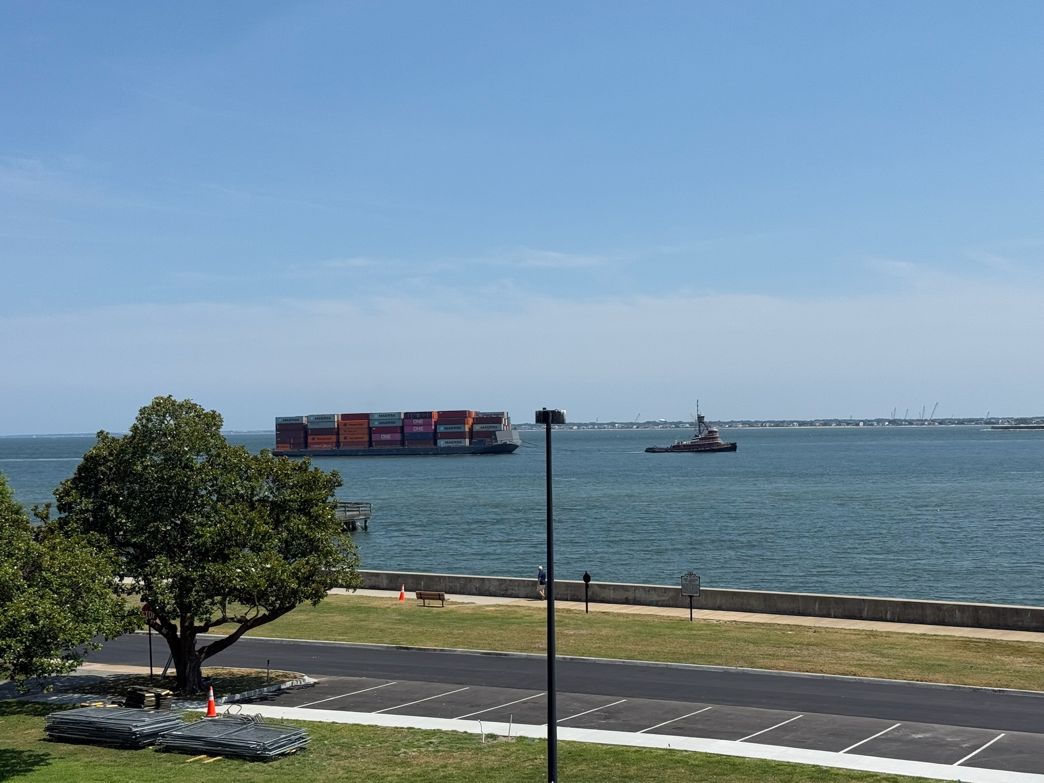
Rachel clarified the Hampton Roads were “water roads” for shipping traffic, not car roads. She went on to explain that it was one of the few channels deep enough for large ships to navigate through safely, and thus controlling Point Comfort meant controlling the flow of traffic in and out of the Chesapeake Bay.
At this point, the tour concluded. Eric and Keith announced they were hungry. To be continued...