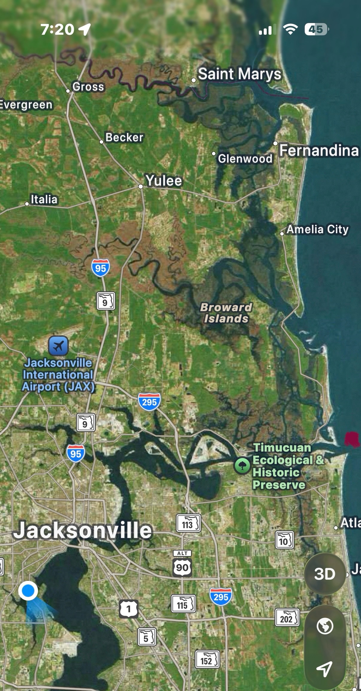
Wednesday, May 6 — We arrived to entrance of the St. John’s River as the sun was coming up, so we had good visibility for entering (marked by purple dot).
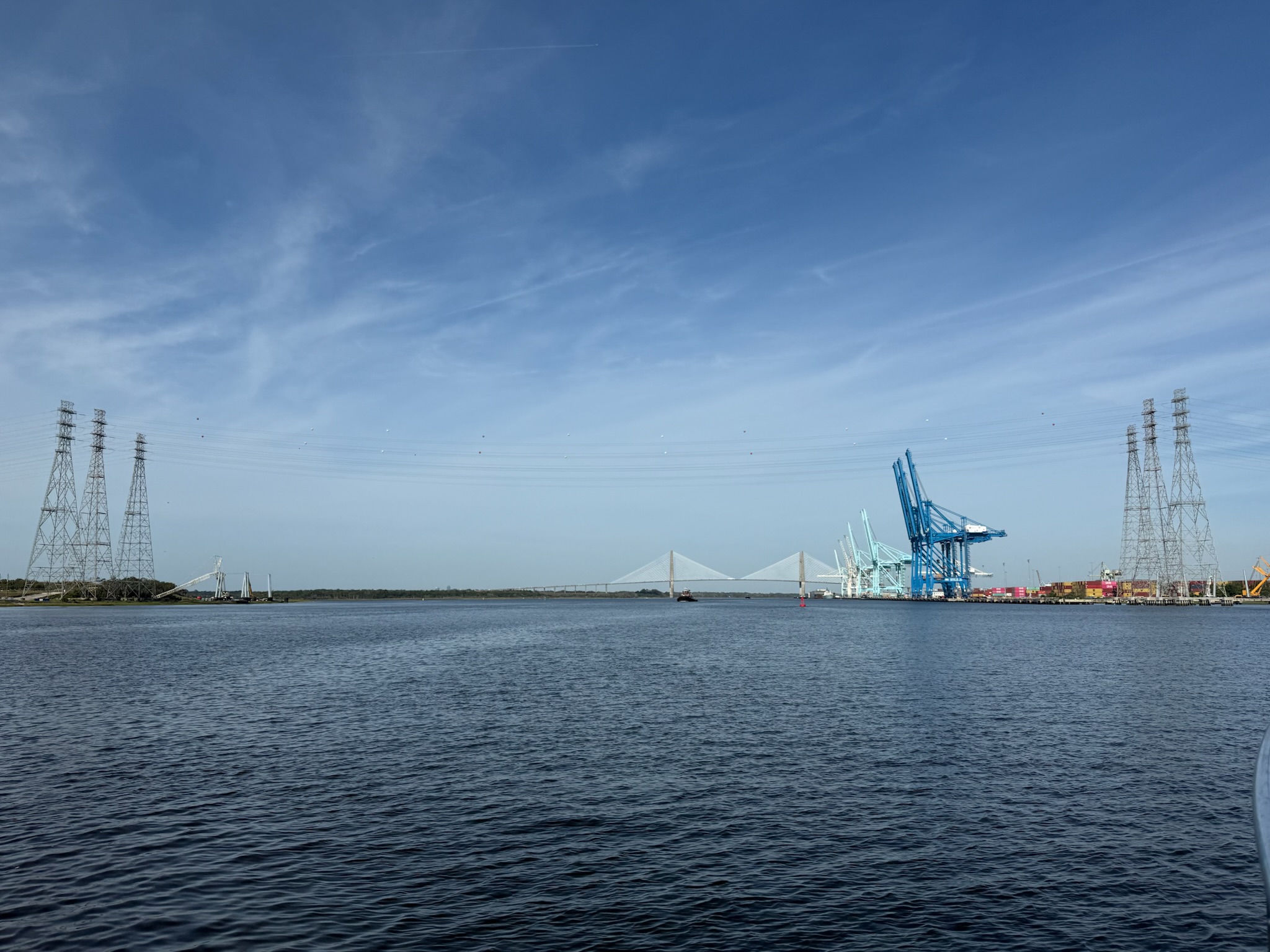
A big tanker also arrived at the same time we did, so we changed course to be behind him. The ride along the river was nice — it was wide and calm. There wasn’t much traffic. We passed another tanker and a couple of tugs on their way out.
The river meandered east and then turned south, where it widened out even more. We passed a small commercial port.
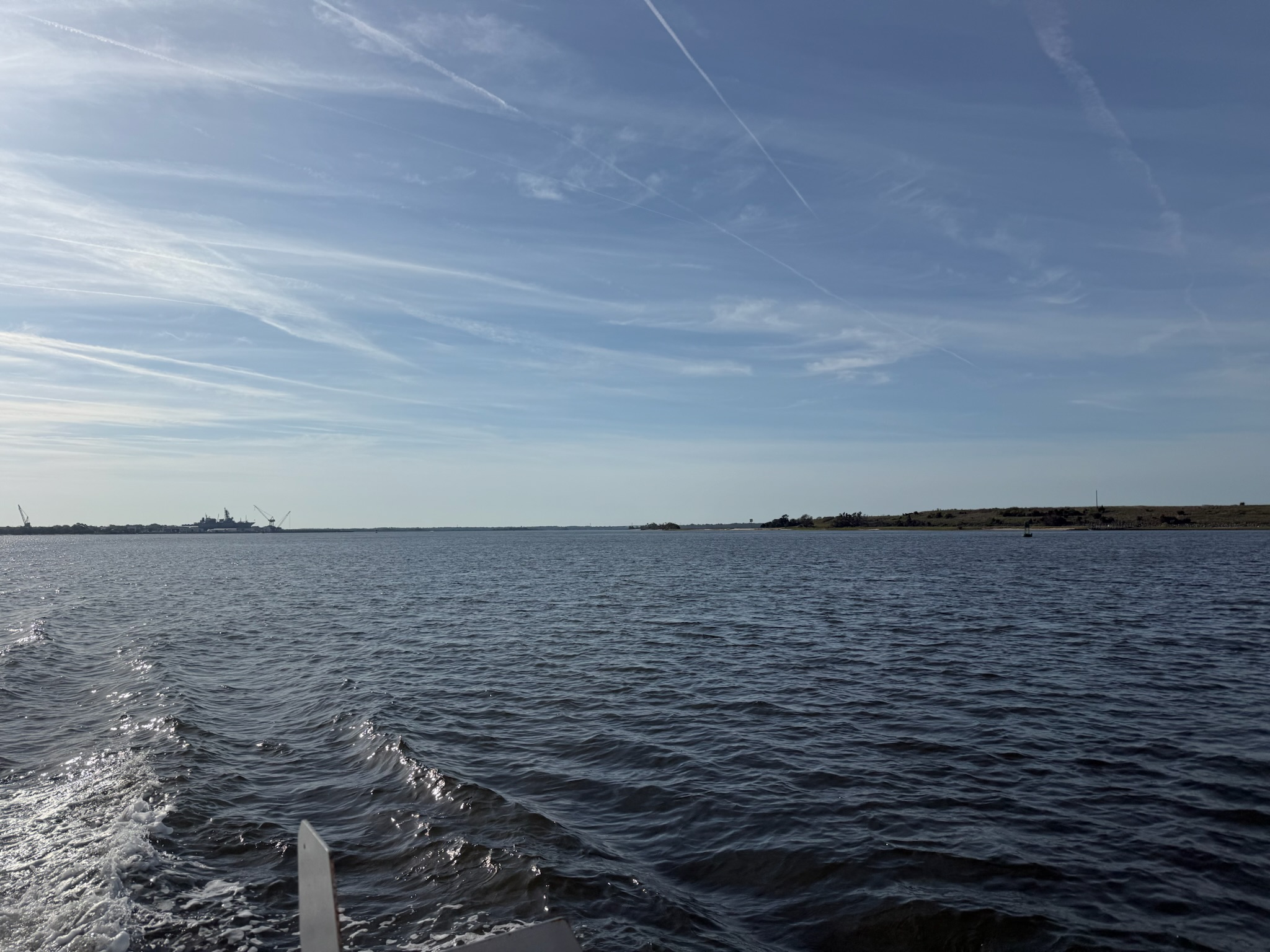
This was looking back towards the mouth of the river.
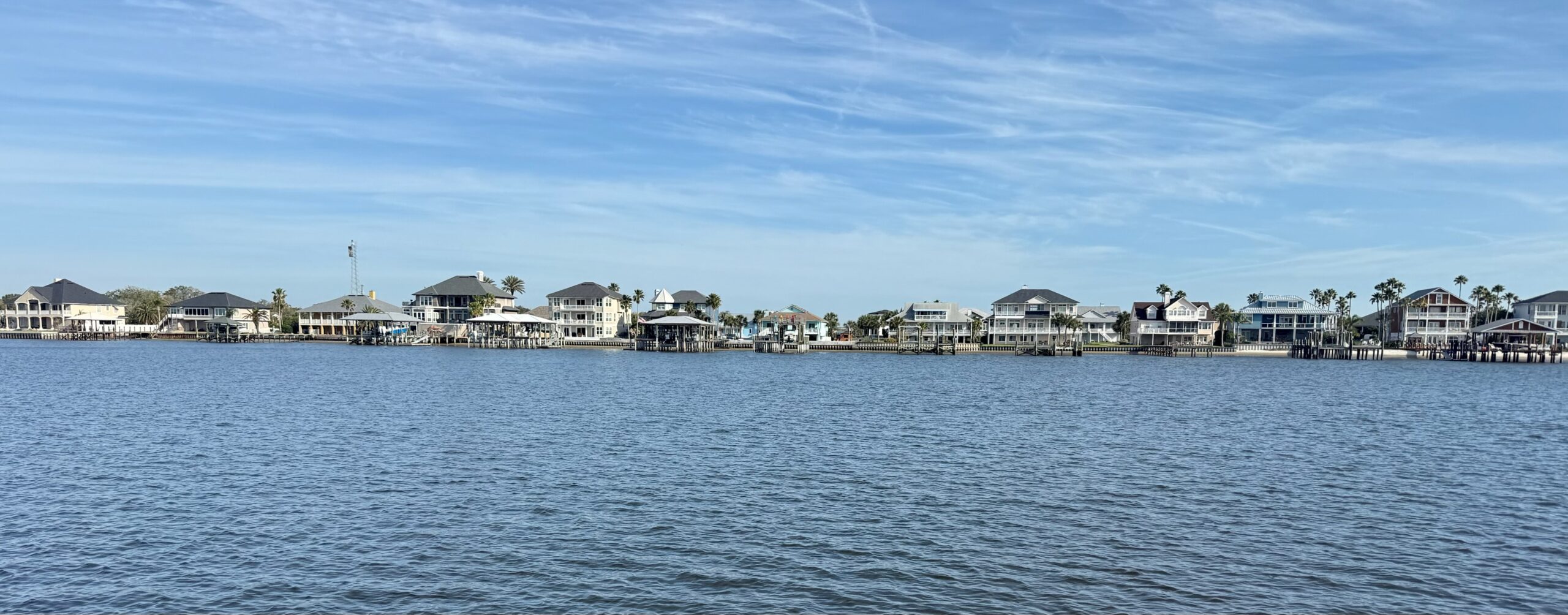
The homes near the commercial port looked to be high end.
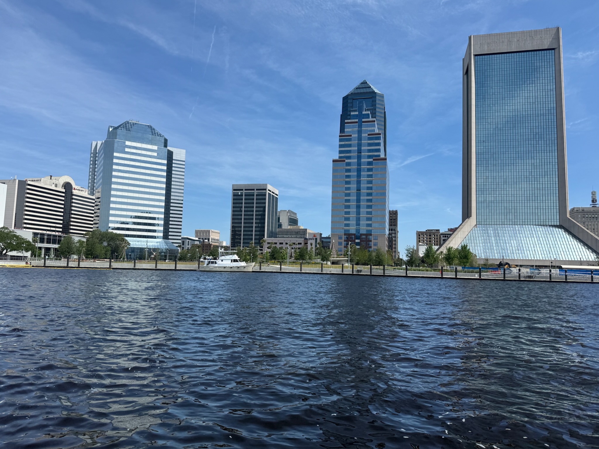
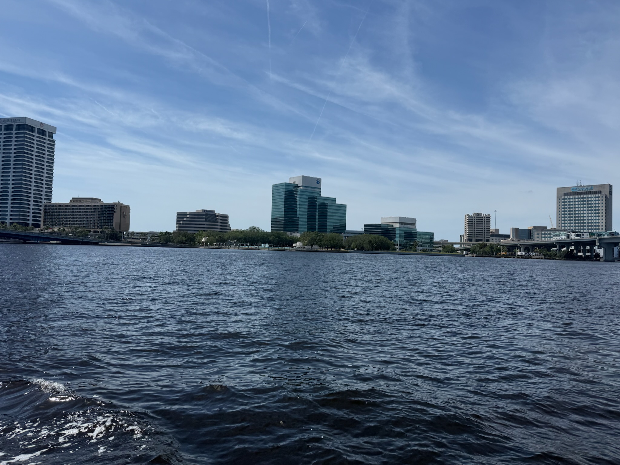
Downtown Jacksonville was not much farther beyond. Generally speaking, when we’ve heard people talk about Jacksonville, they’ve said less than favorable things. So we were surprised to see that the downtown looked new and modern, with several high rises.
Most of the bridges in the area were tall enough for us to clear, but we knew we were going to have to go through two draw bridges. The first draw bridge was actually a train track in the heart of downtown (under the car bridge), and was so low that it was barely above the waterline. Apparently, the bridge was normally left open for boats and only closed when a train came.
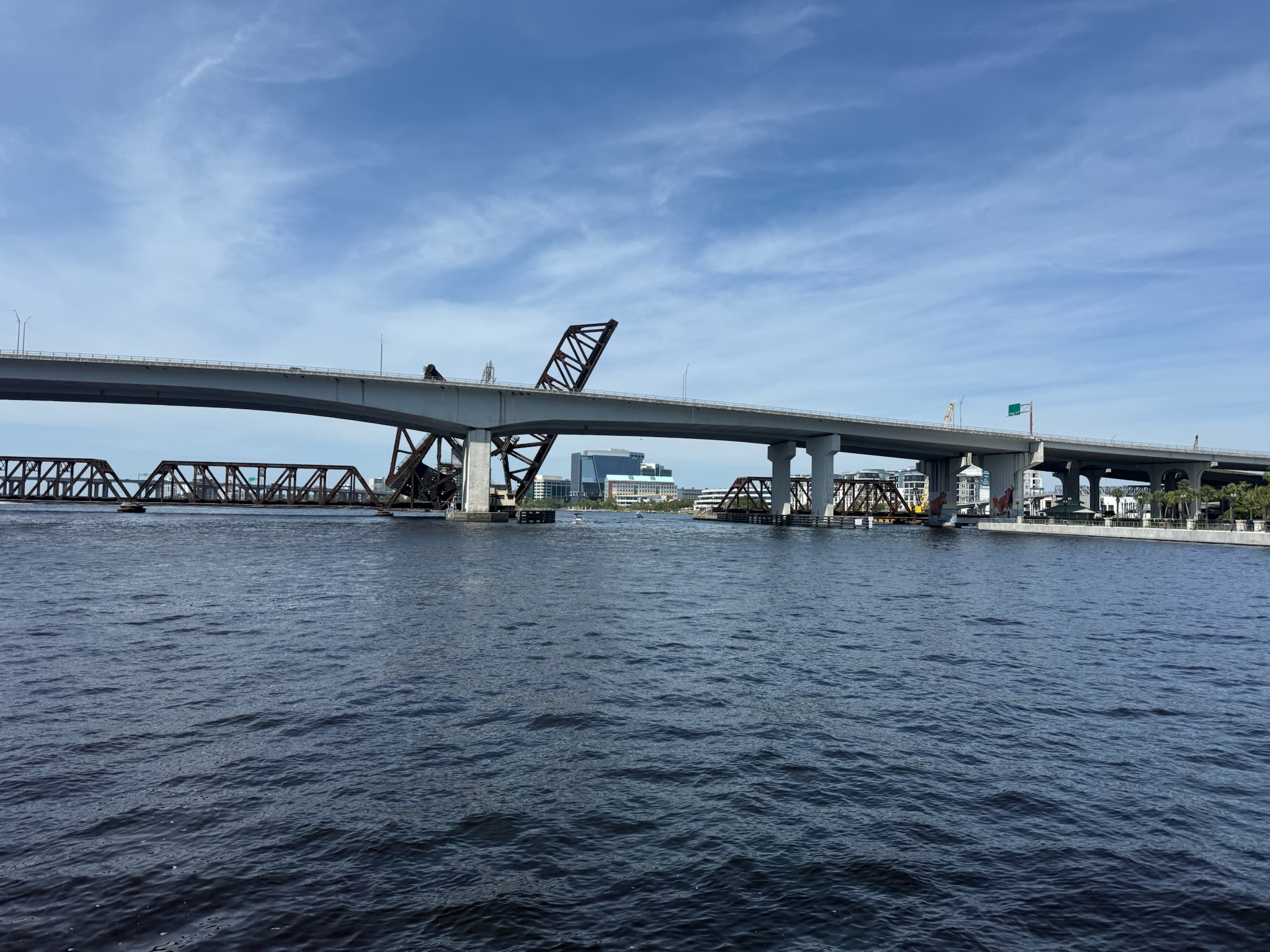
Much to our surprise, as we were just about to pass through the bridge, the red lights started flashing and alarm sounded, indicating a train was coming and the bridge was closing. At that point, It was too late to stop or turn around. A nearby police boat that had been sitting still turned its lights on, and we wondered if it was in anticipation of coming to our aid. We were hoping that someone was watching and would make sure the bridge didn’t crush us as it closed. It turned out that our fears were unfounded. The bridge closed slowly and by the time it was low enough to be a danger, we’d long cleared it.
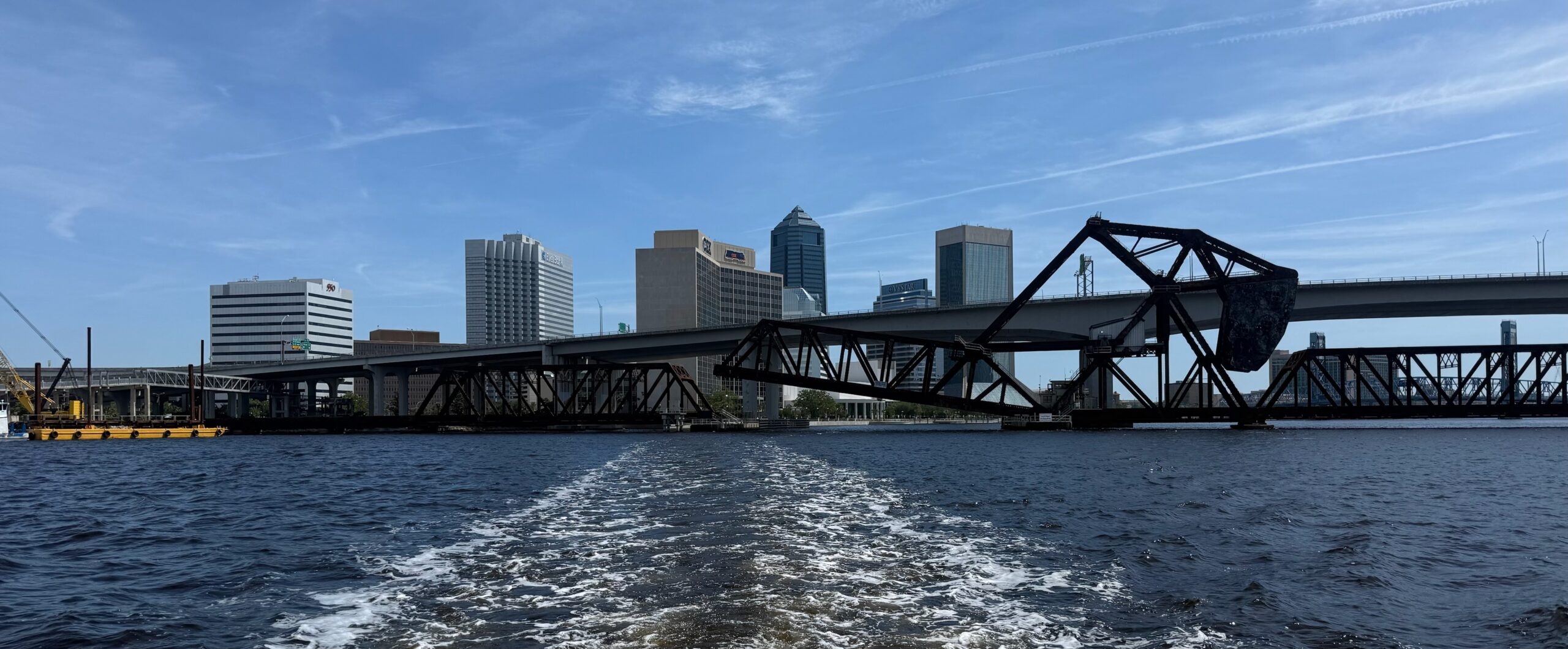
Beyond that bridge, the depths became much shallower. While it was a wide river, the channel that was deep enough for us was narrow. And it looked like the edge of the channel was lined with crab pots. The structures along the shore quickly went from urban to suburban, with low buildings that were mostly residential.
The second draw bridge was the Ortega Bridge. It looked like it was a car bridge. As we neared it, Eric called on the radio and asked them to raise the bridge for us, which they did promptly. It was nice to not have to wait! The opening was narrow. We were really glad no one was going the other way. We noticed the neighborhood on both sides of the bridge was comprised of upscale homes.
Sadler Marina was a short way past the bridge, up the Ortega river.
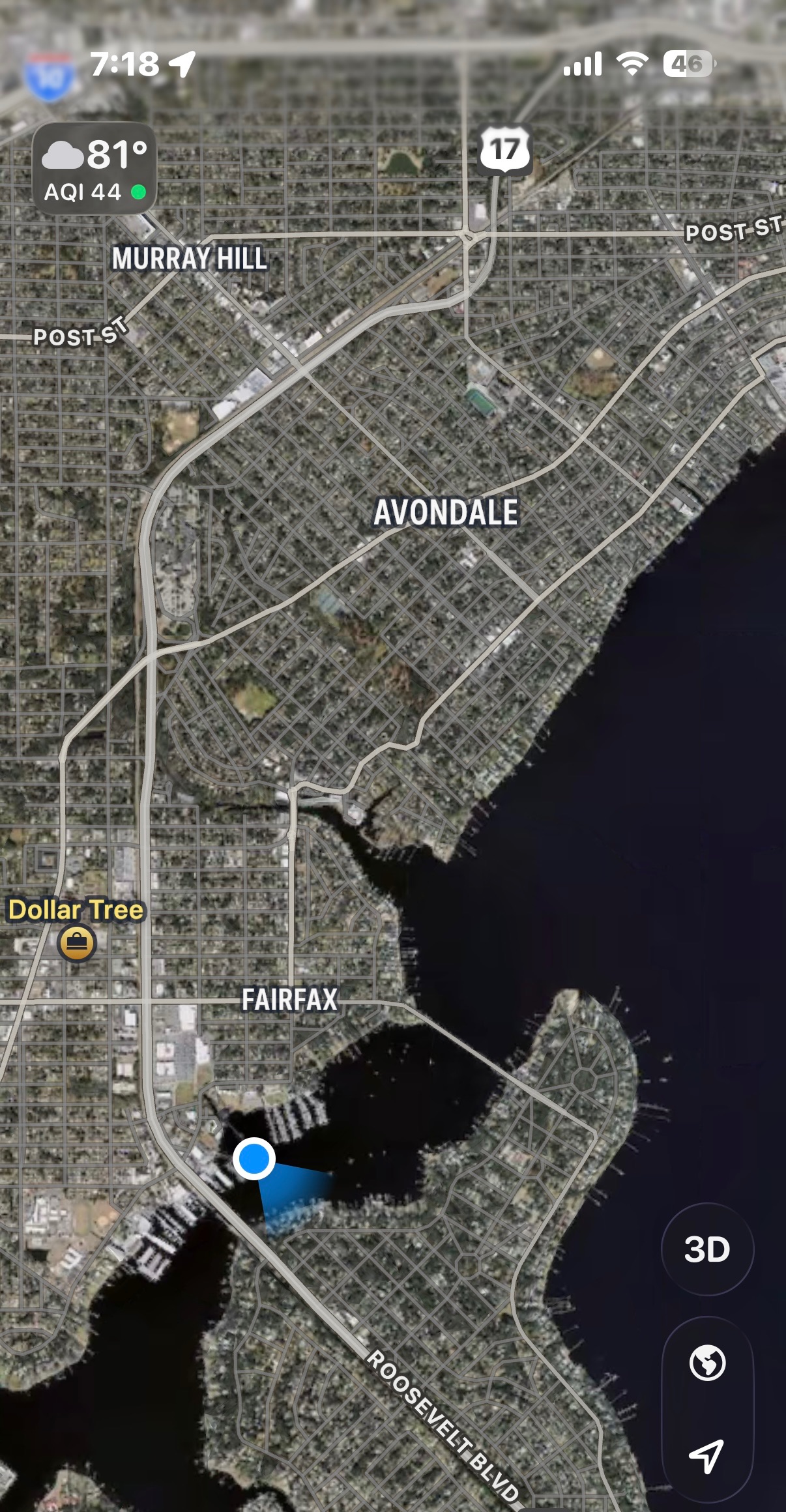
We were assigned to what looked on the map to be an easy to access spot on A dock. However, it was uncomfortably shallow, and there was a sailboat anchored in an awkward location that partially obstructed our entry into the slip. Kosmos kicked up a lot of mud while docking, which was concerning since it wasn’t low tide. Would we be grounded at low tide? Several neighbors came out and helped us tie up. One of the reasons Eric had chosen this marina was because it had floating docks. We were relieved to repot that we had no issues plugging into the power.
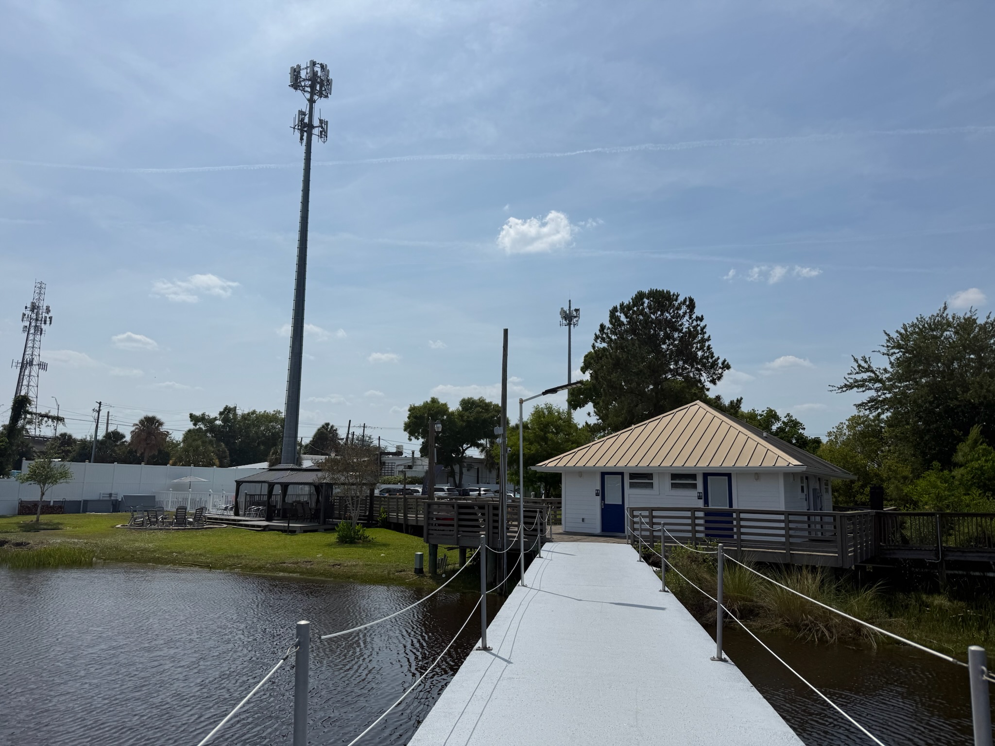
The neighbors were chatty. They told us the sailboat lived in that spot in the channel. It was barely within legal anchoring limits of the marina. We already knew this marina wasn’t considered to be as nice as the neighboring marina, Pier 32. We also knew it had recently been purchased by a new owner. Our marina neighbors reported that the new owners were currently fixing the marina up. There was an estuary between the land and the marina, so the docks were a little bit of distance from shore. Here was looking at the restroom and grass/fire pit lounge area. Behind the fire pit was a small pool.
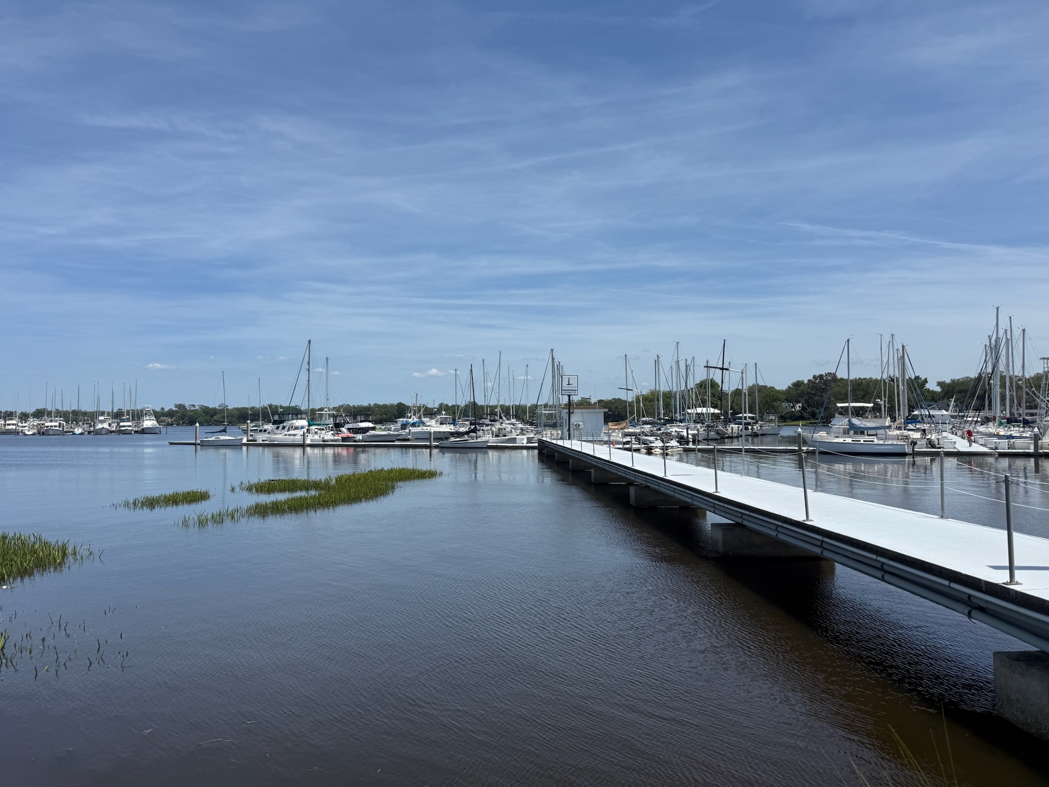
Here was a shot taken from shore looking at the marina.
On the other side of the fence to the left of the grass/fire pit lounge area was a boat yard. Previously, both the marina and boat yard had the same owners, but the new owners only bought the marina. The yard was still under the same ownership.
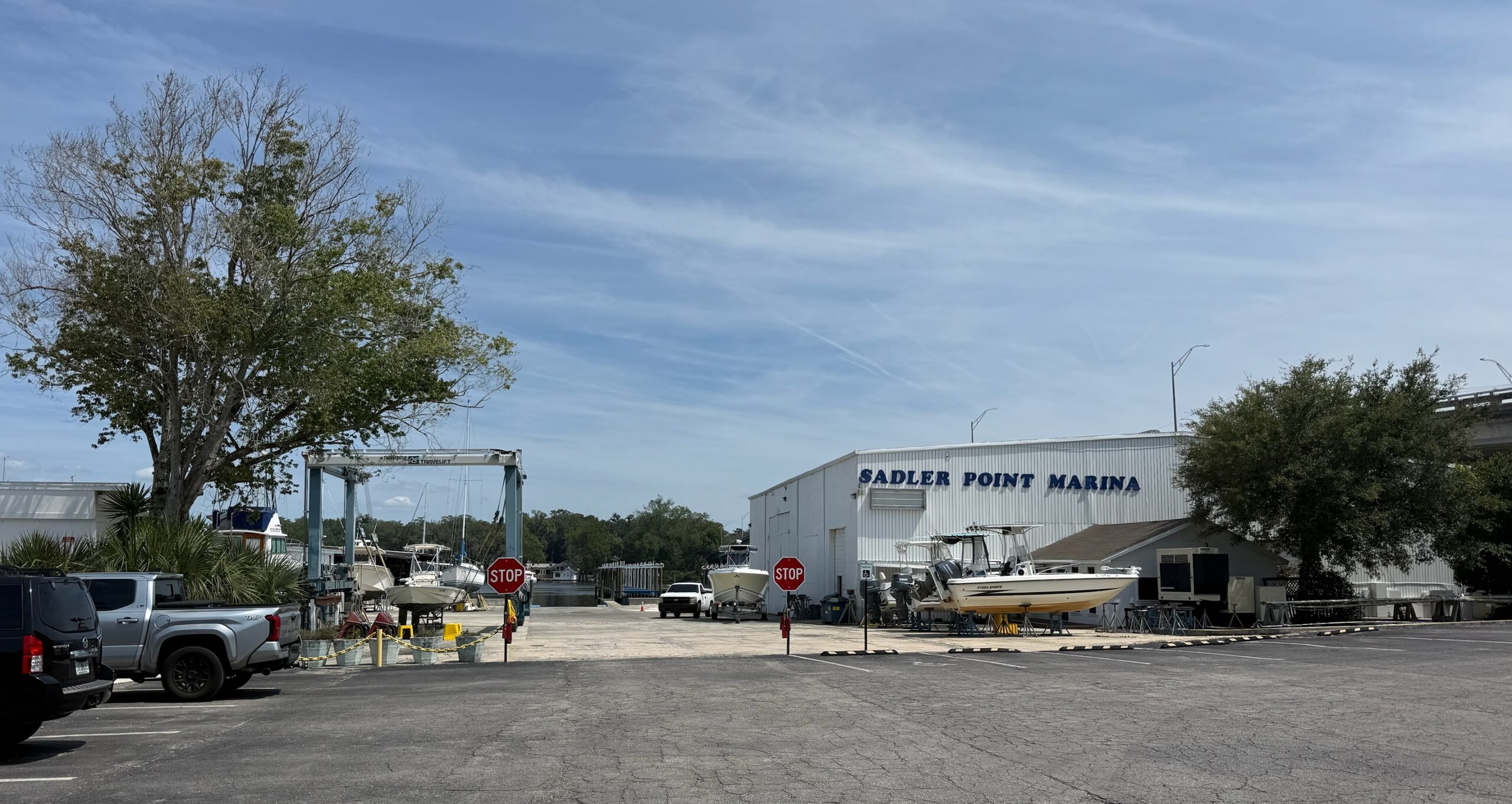
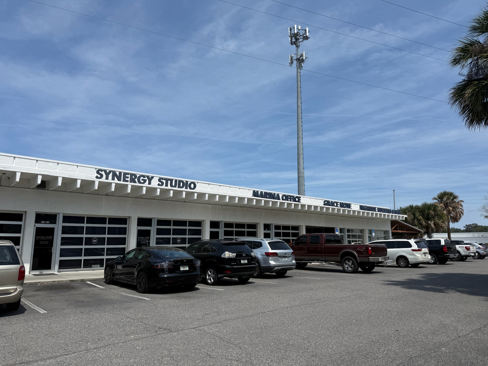
The photo of the boat yard was taken from the parking lot of a small, low strip mall just north of it. The storefronts that got our attention were the marina office, a couple restaurants, and a tiny brewery. After checking into the marina office, we went to a restaurant called The Loop, which was just to the left of the stores in the photo, for our “successful passage” celebratory meal.
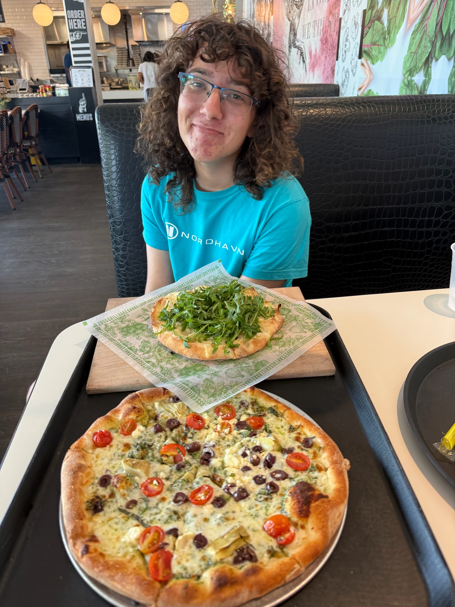
The Loop served pizza, burgers, sandwiches, salads and milk shakes. The food was good. We tried a seasonal flavored milkshake, key lime pie, which was rich and yummy and had chunks of pie crust in it.
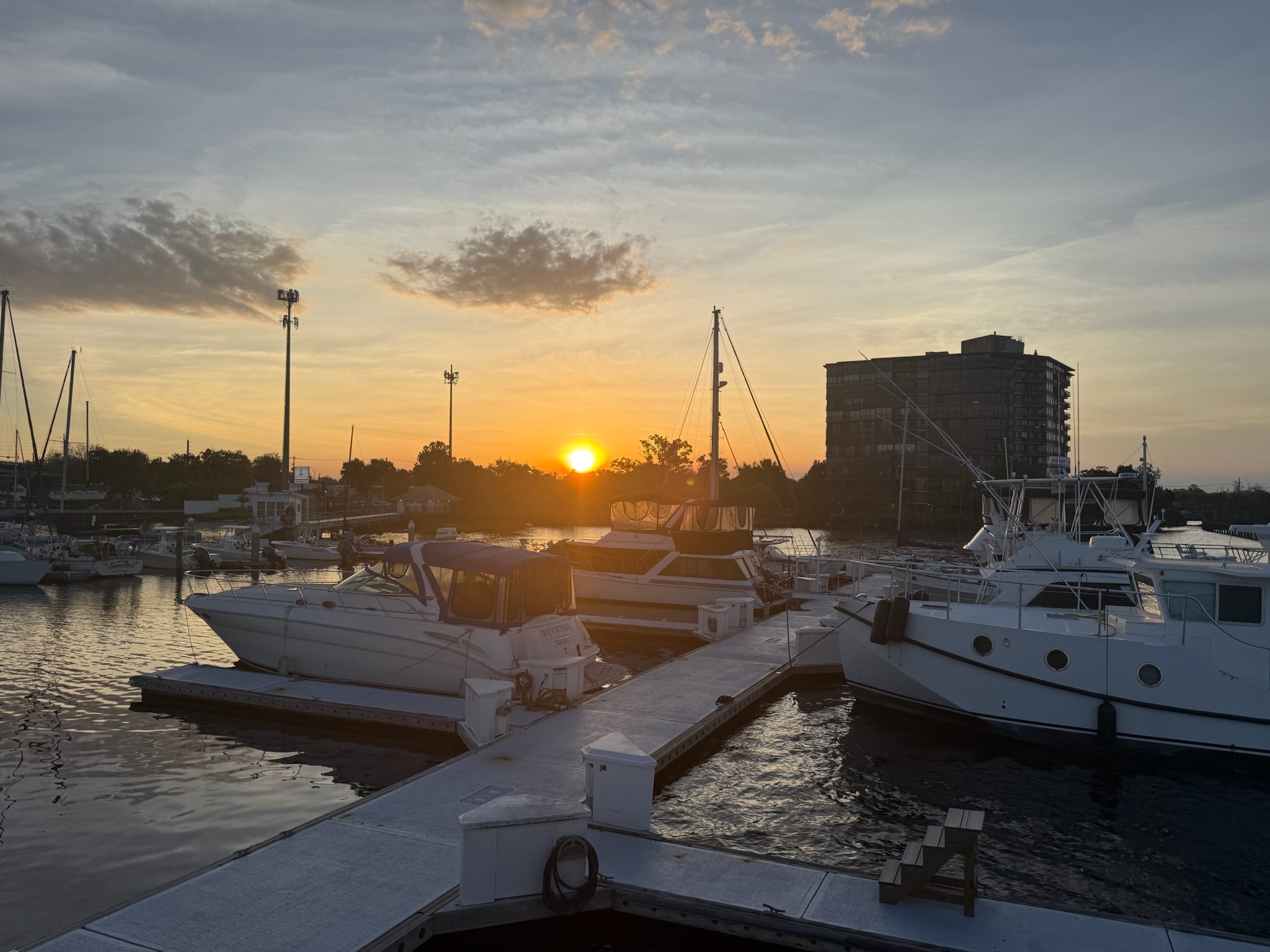
After eating, we went back to Kosmos. Eric did odds and ends around the boat – rinsed her down, put the window covers on, etc. Christi felt like she was fighting a cold, so she took a nap. Keith got online with his friends. At low tide, we realized that we were grounded about a foot in the mud. Sigh. Here was the sunset.
The only real downside we’ve seen to the marina so far was the proximity to the train, which ran under the car bridge. The train seemed to come fairly often and was loud. While this was a short train, most were long trains. Kosmos had good insulation, so the train noise wasn’t terrible when inside, which we’re grateful for.