
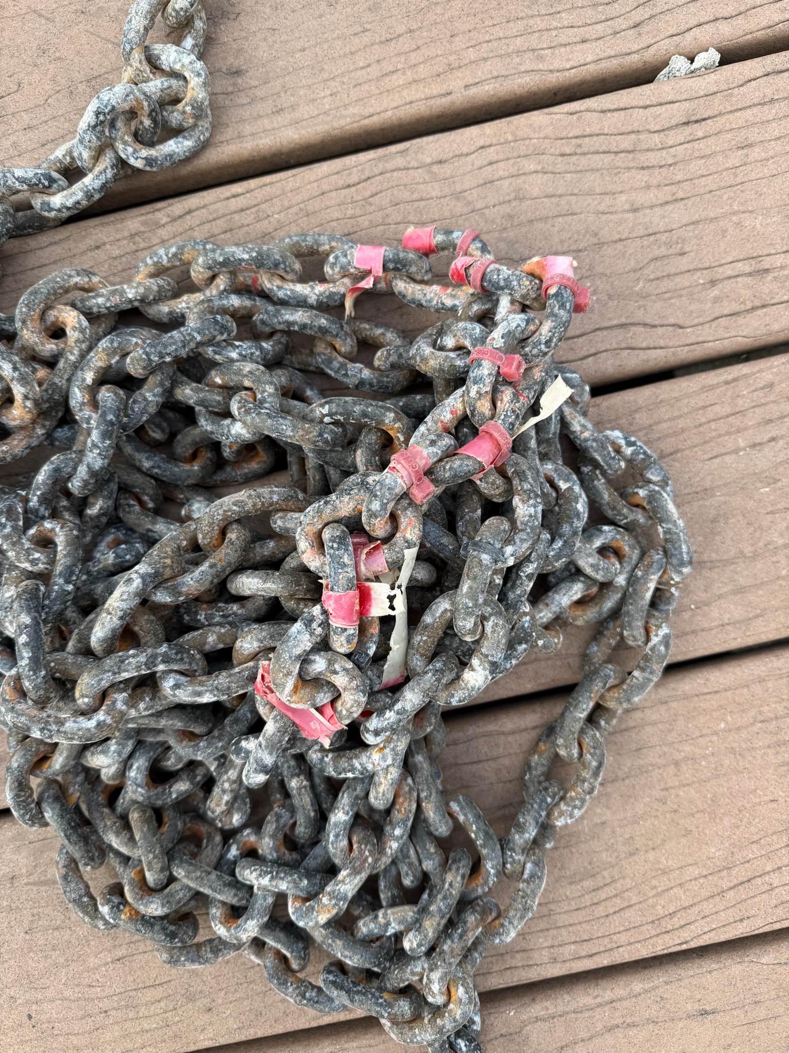
Monday, August 18 — Today there was no rain in forecast, but it was ominous outside. It was 73-degrees Fahrenheit, a strong, cool wind and very grey skies. Eric decided it was a good day to redo the chain markers. Over the years, we’ve tried an assortment of ways to try to mark the chain at every 50-feet so that we knew exactly how much chain was out. We started with paint, which flaked off quickly. We tried plastic inserts next, but they popped out pretty fast. We then tried colored zip ties and colored tapes, but they tended to break and fall off after a while.
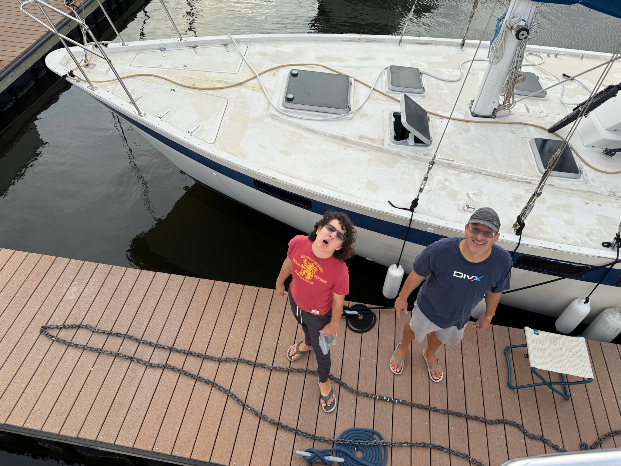
A while ago, Eric had found some plastic inserts that screwed in, and he was hopeful that the screw would mean they would stay in place and not pop out. We hadn’t put them in yet because we needed the right kind of dock – one with a pole at the end that could handle the weight and one long enough to stretch the chain all the way out. This was the spot. We carefully lowered the anchor and placed it on the dock. Then we let out all the chain, winding it up and down the length of the finger.
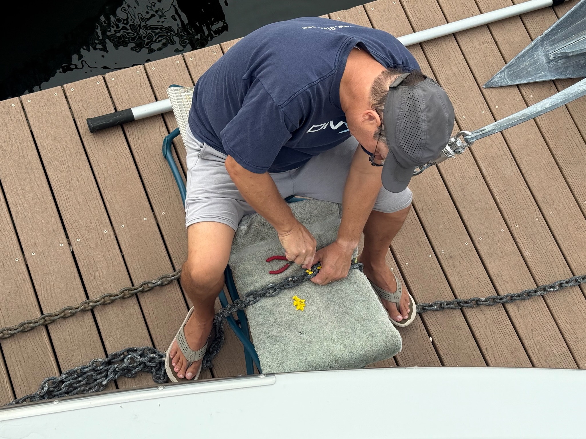
Eric cut off the zip ties/tape and screwed in the markers. Meanwhile, Christi washed out the anchor chain locker, which was pretty sandy.
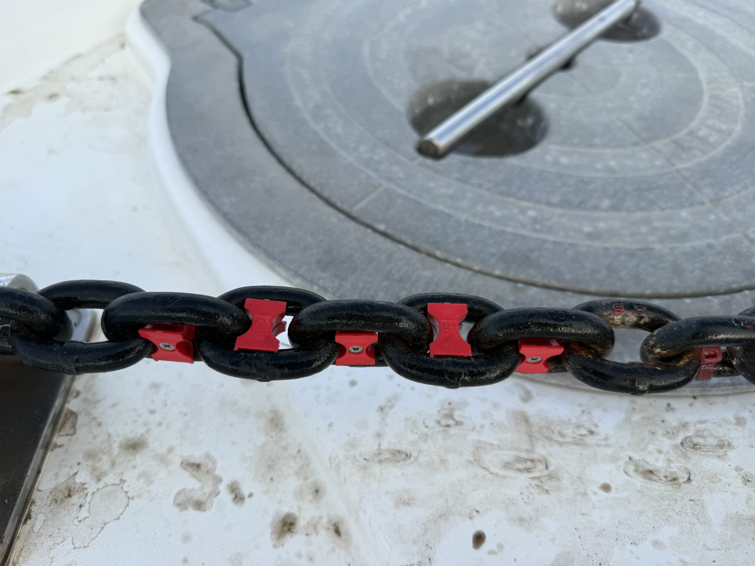
This was what they looked like once everything was put back together.
Once that project was done, we were feeling good about ourselves. Since it looked so ominous, we were in no hurry to go out. And it’s a good thing we didn’t, because at 1300, it started raining. By 1800, it looked like the rain was done for the day. Since it was nice and cool out, we went for a walk to a neighborhood called Fell’s Point, which was between downtown and Canton. While the edge of Fell’s Point was only a mile west of us, we hadn’t been yet because it has been too hot to walk that far, but silly to drive and pay for parking when it was so close.
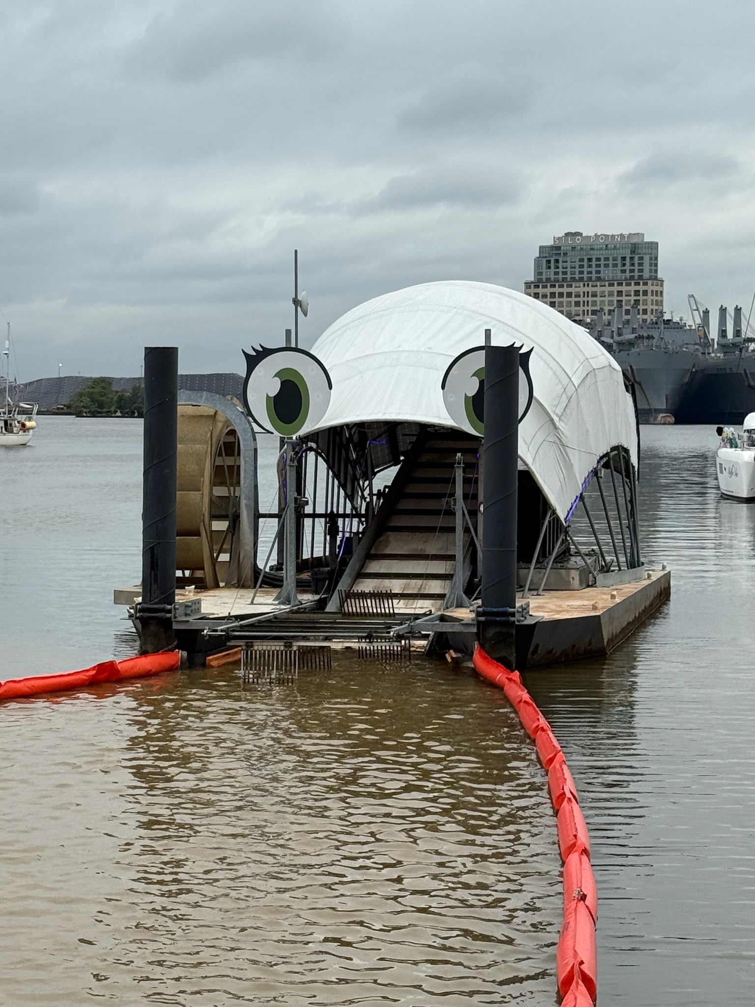
We followed the waterfront up. There were some signs along the way. The cute contraption above sucked up trash. It was positioned at the mouth of Harris Creek. A sign said the creek used to be large enough to sail ships into, but in order to make more buildable land, the creek water was encased in pipe and covered. There used to be a boatyard in the creek. Started in the 1780s, it built the very first US Navy Frigate, the USS Constellation, which fought in the War of 1812.
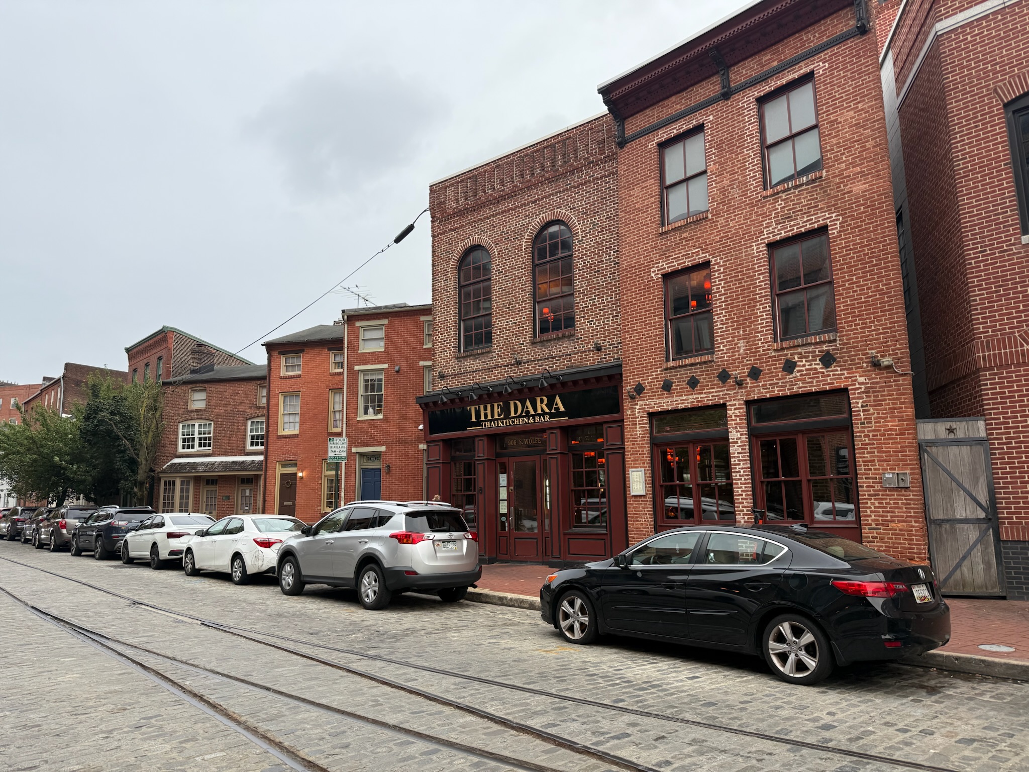
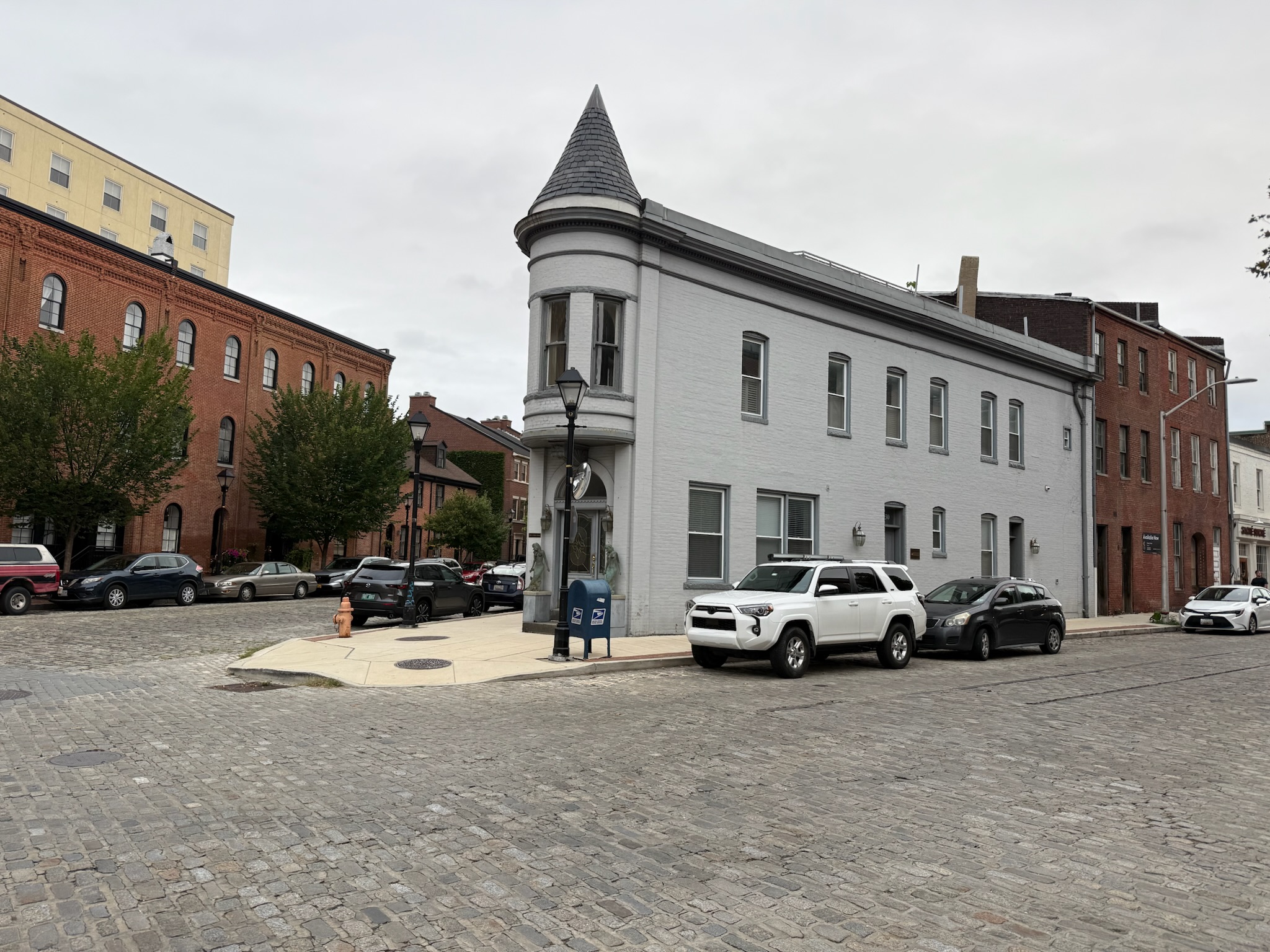
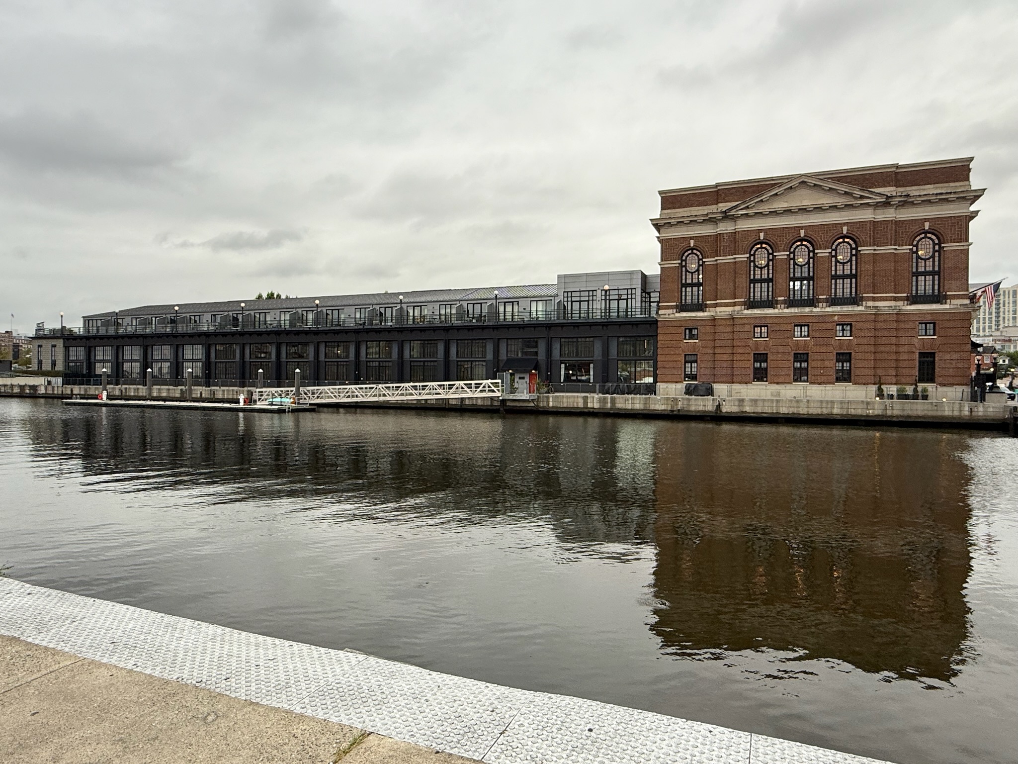
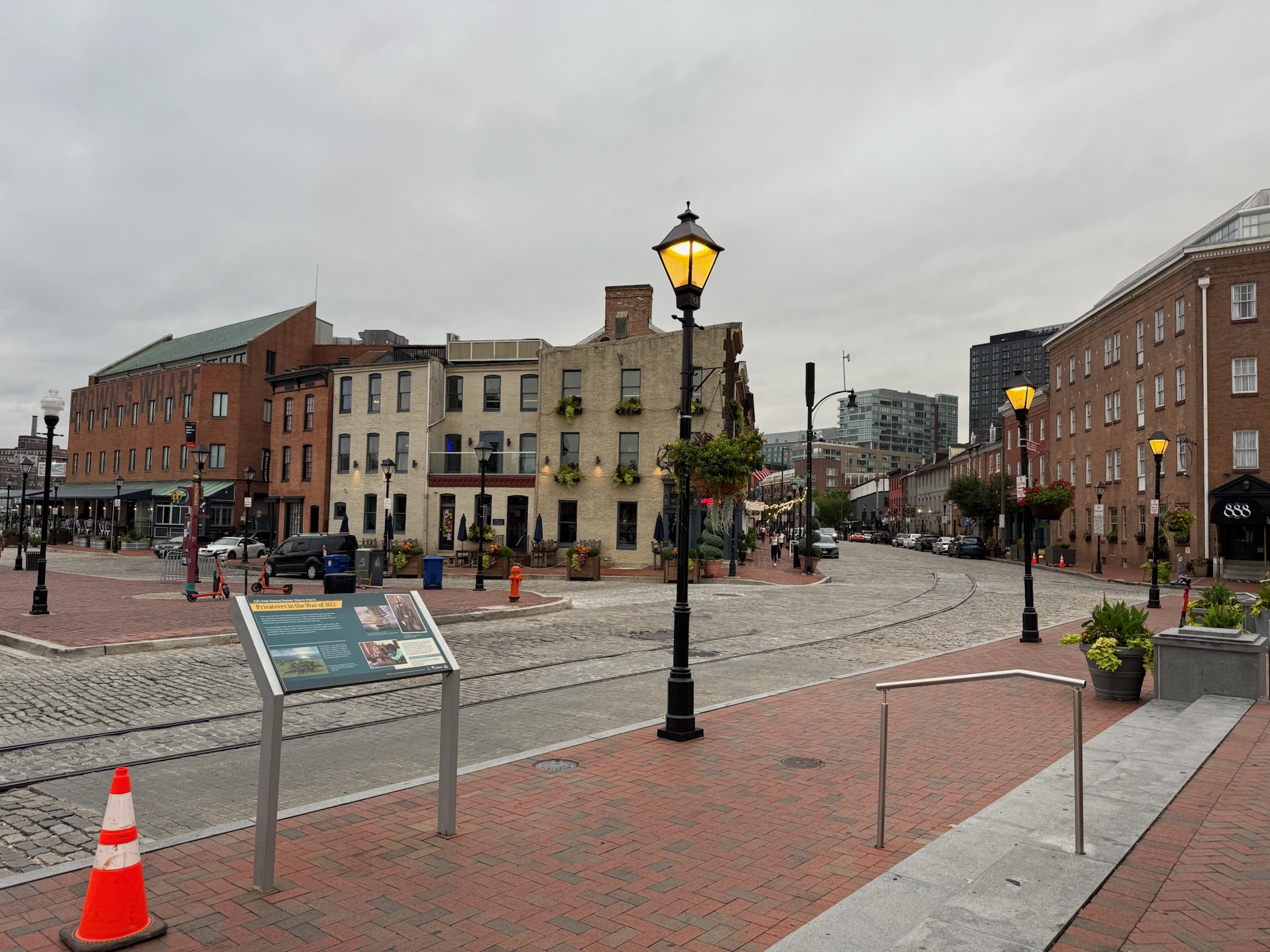
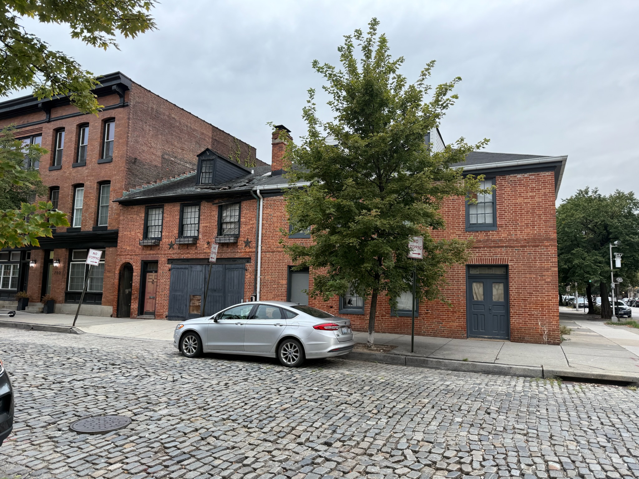
Beyond the townhouse complex were some large condo towers. Fell’s Point was one of the earliest neighborhoods in Baltimore, established in the the mid-1700s, We knew we’d arrived when we the road that paralleled the waterfront switched from asphalt to cobblestone. As anticipated, it was a charming area with many extremely old buildings, though there were plenty of newer looking buildings, too.
A sign that we passed said that Frederick Douglass had been a slave from Fell’s Point. When he was 20, he escaped by boarding the train in Canton that took him to Philadelphia. He was disguised as a sailor and was carrying “free papers” that he’d borrowed from a friend.
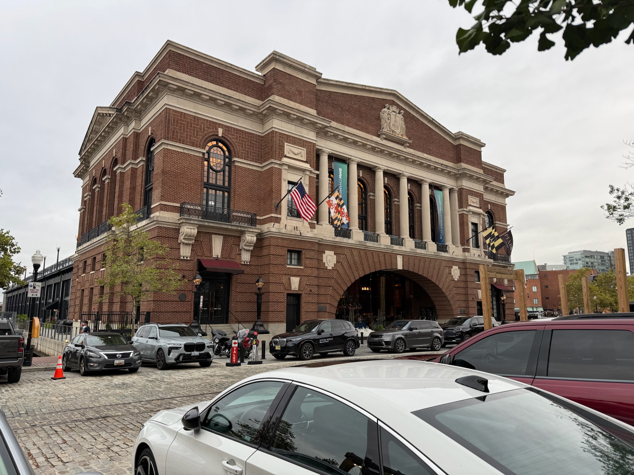
The sign in the photo above said that Fell’s Point was once an important ship building center. During the three years of conflict in the War of 1812, privateers that hailed from Fell’s Point managed to capture more than 500 British ships and brought in millions of dollars in prizes, which was one of the reasons the British were eager to attack Baltimore. 20% of the privateers were black.
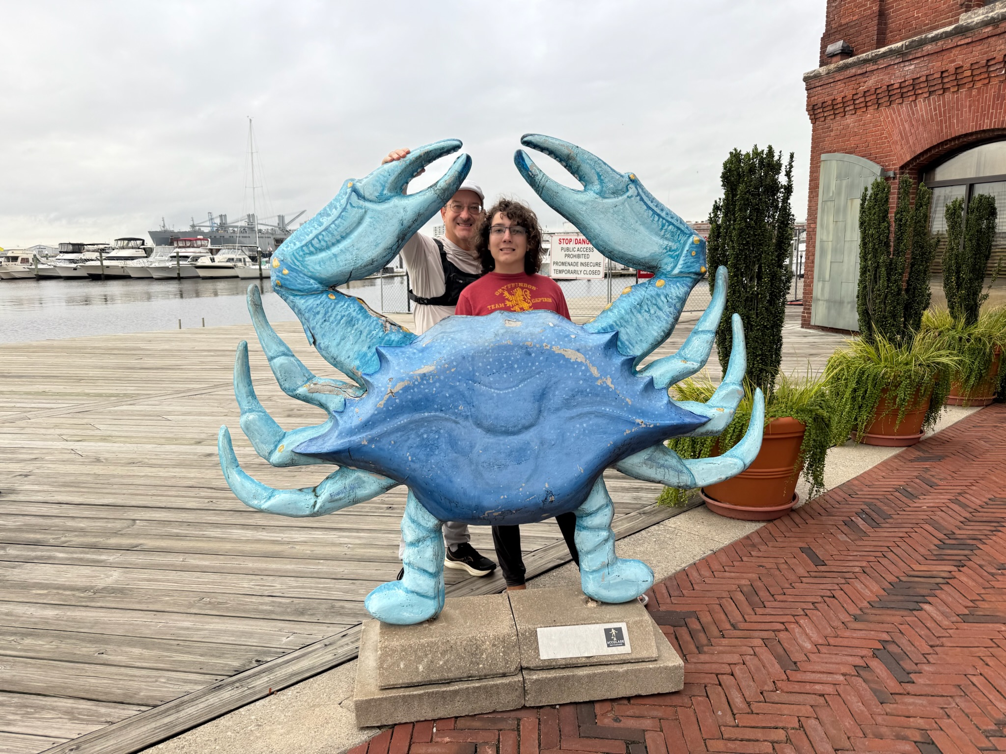
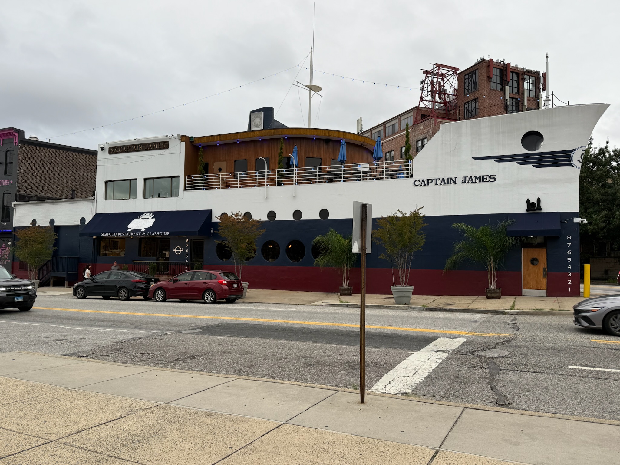
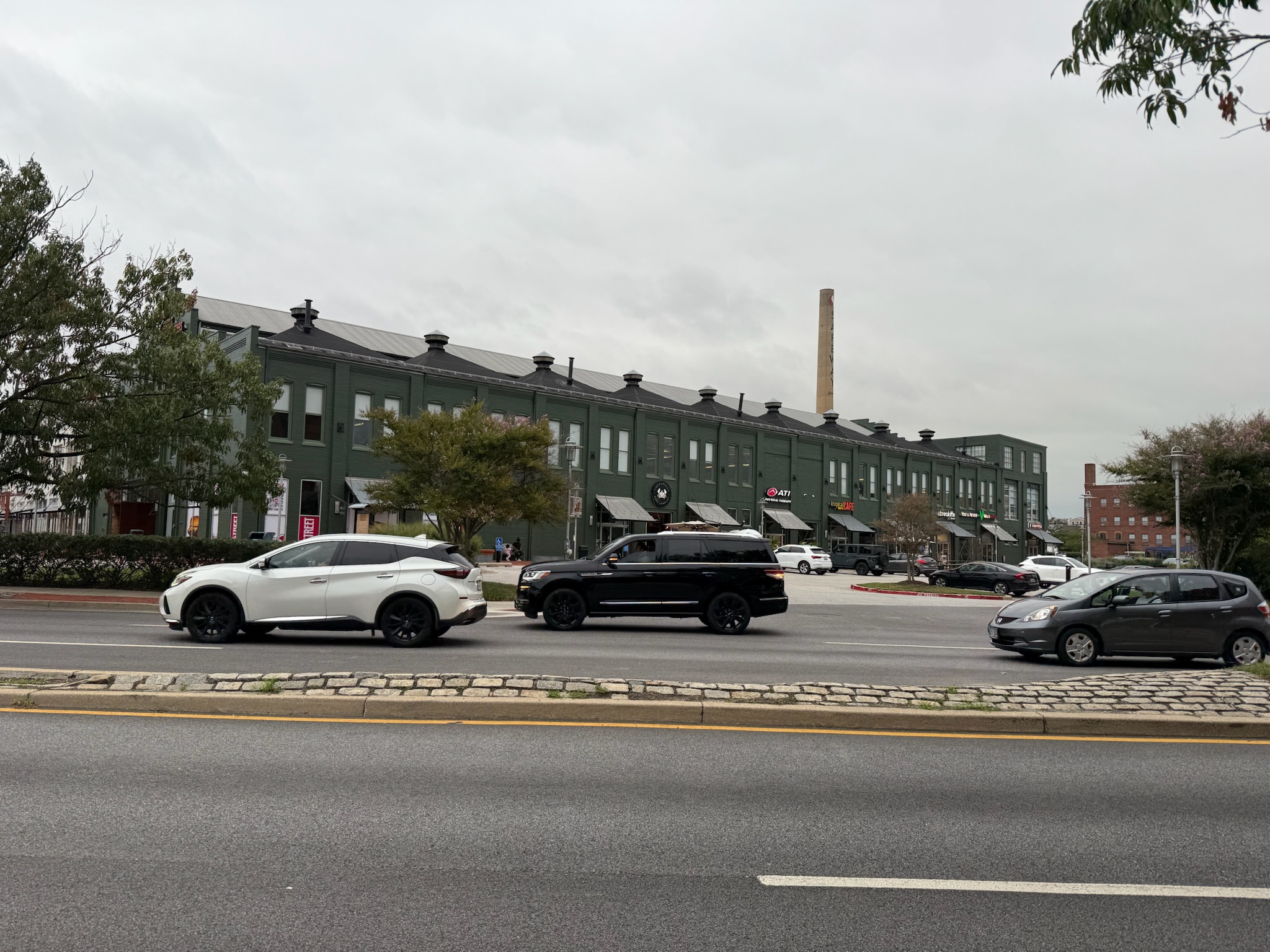
We’d already had dinner aboard, so we didn’t stop at anyplace to eat. After we’d felt like we’d gotten a good feel for the area, we headed back. This time, we took the roads back, which was a notably shorter walk (the boardwalk winded around multiple man-made fingers). There was a wide variety of buildings along the streets — many old townhomes, often renovated into businesses, some old looking industrial buildings and some new commercial shopping centers. This restaurant did an amazing job of utilizing the v-shaped corner by making a building that looked like the bow of a ship!
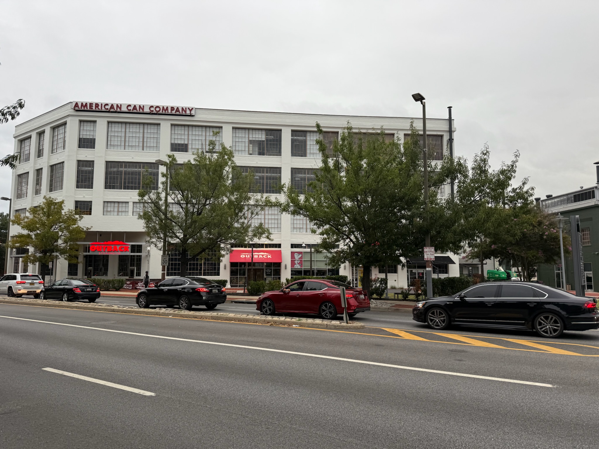
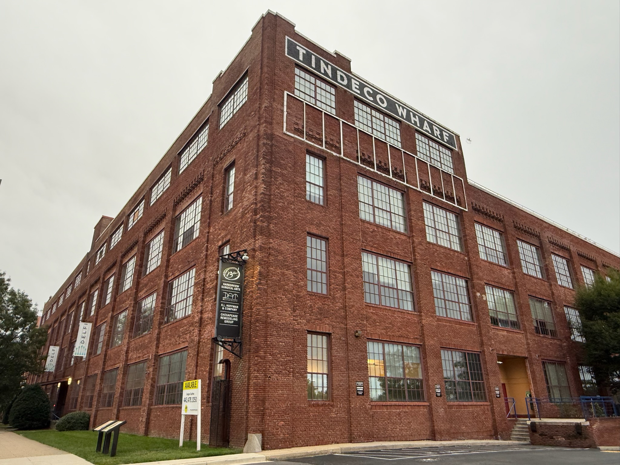
Just west of the Safeway was a giant complex that used to belong to the American Can Company. The bottom floor was inhabited by assorted retail establishments. We’re not sure what the upper floors were utilized for.
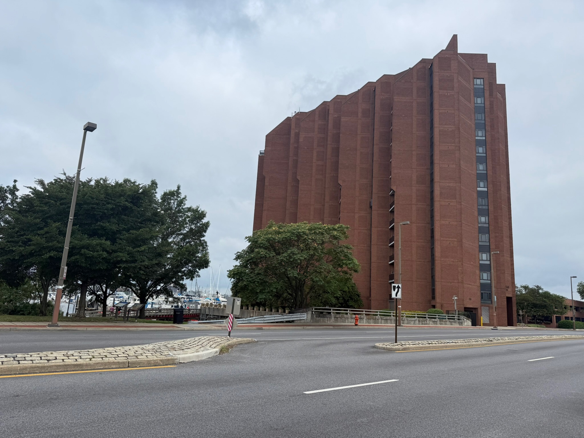
Across from the American Can Company, on the waterfront side of the street, was one of the condo complexes we’d mentioned.
East of the tower, directly across the road from Safeway, was an apartment building. The townhouse complex was between this building and the boardwalk.
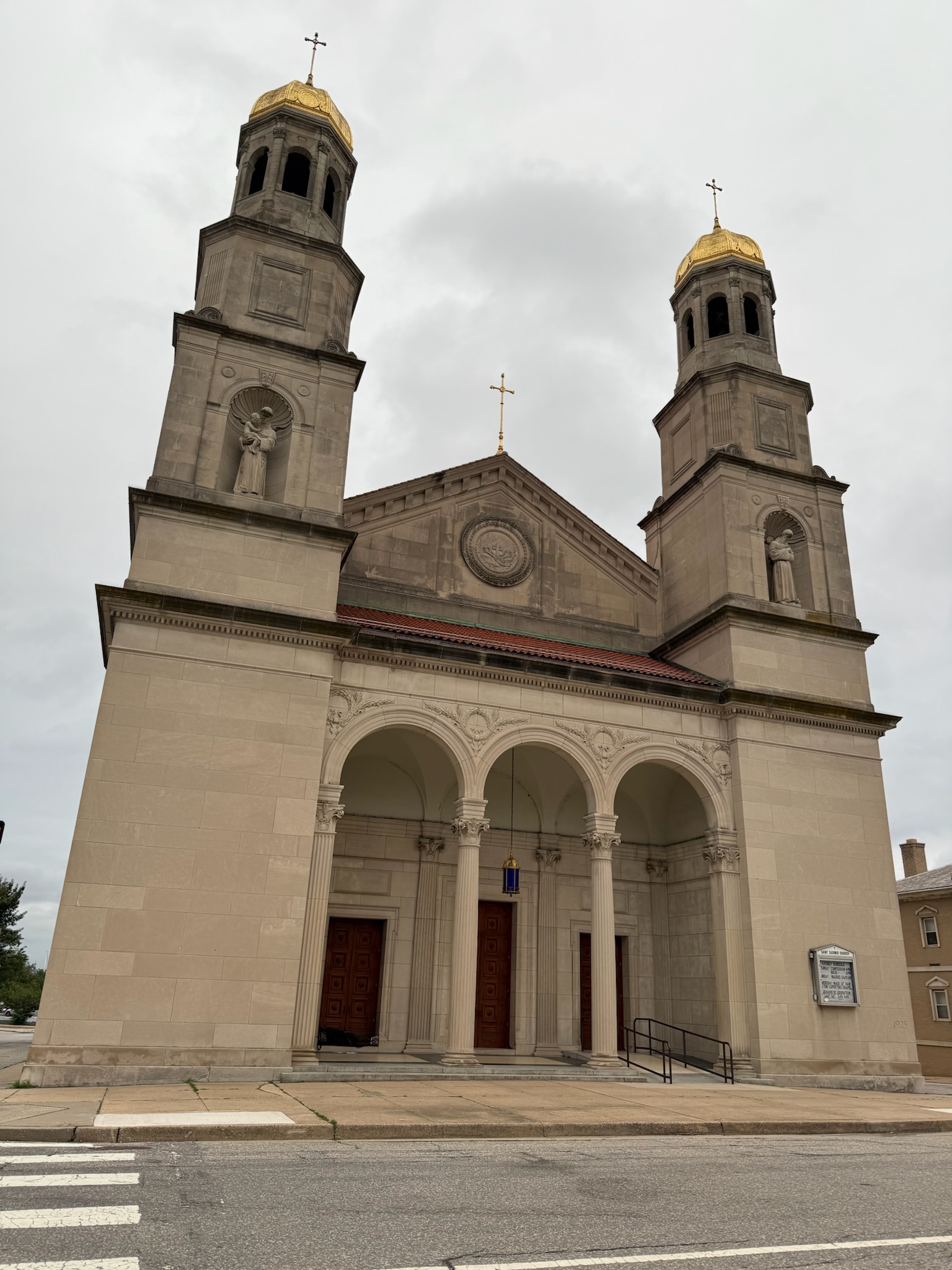
East of the Safeway, directly north of the park, was the backside of a church. We walked over to the front.
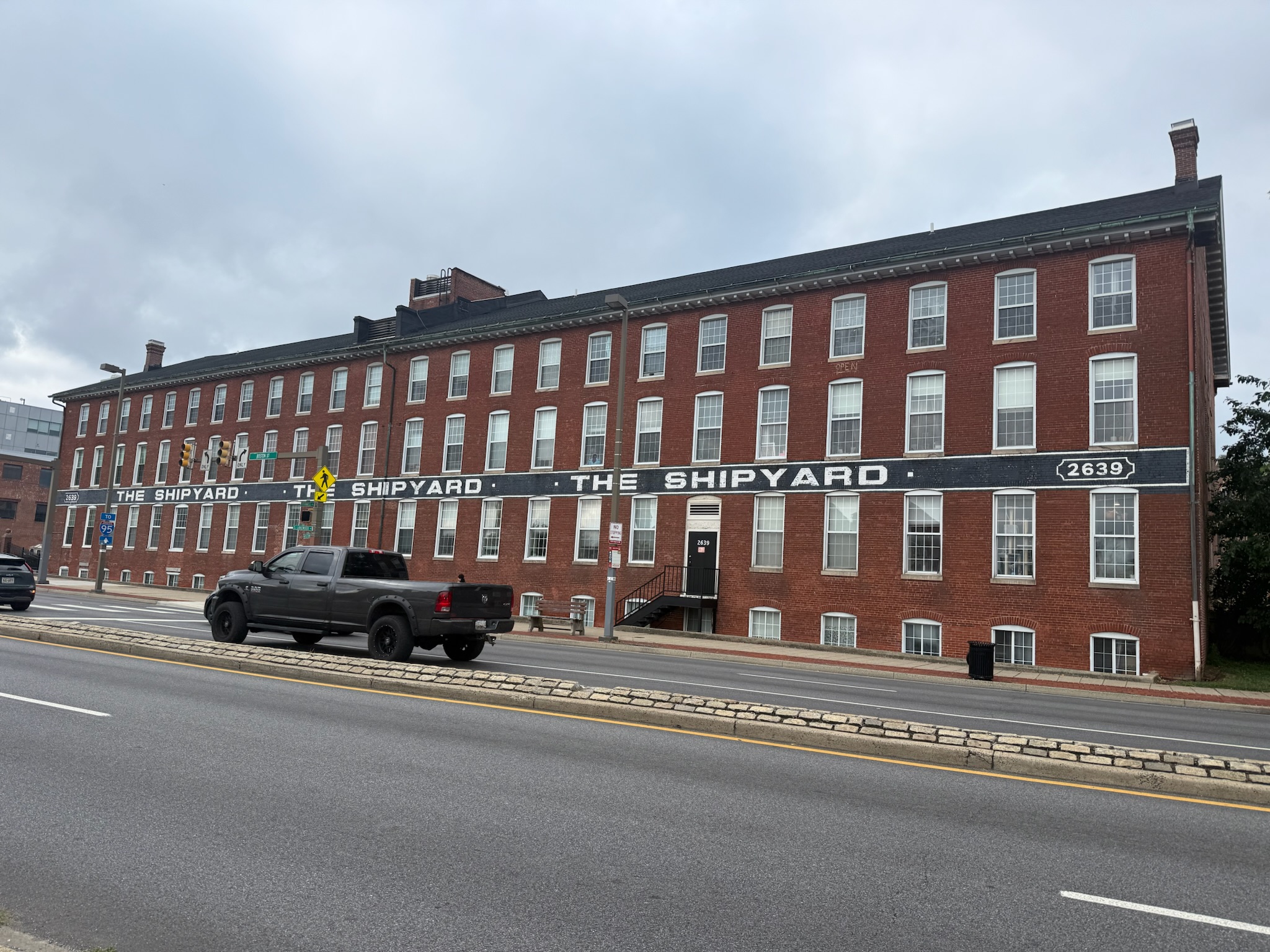
From the church, we walked the one block south back to the waterfront. This was the street side of the building on the east side of our marina. The signs said the Canton railroad station was here, but it didn’t clarify if this building was part of the station or if the station predated this building.
All in all, we’d walked 3.2 miles, and thanks to the cool weather, it was an enjoyable stroll.
While we were gone, a cargo ship exploded in the channel near the remains of the Francis Key Scott Bridge. We’d had no idea it had happened until a friend contacted us the next morning and asked if we had been affected by it. We asked our neighbors in the marina if they had seen/heard the explosion, and they had not.