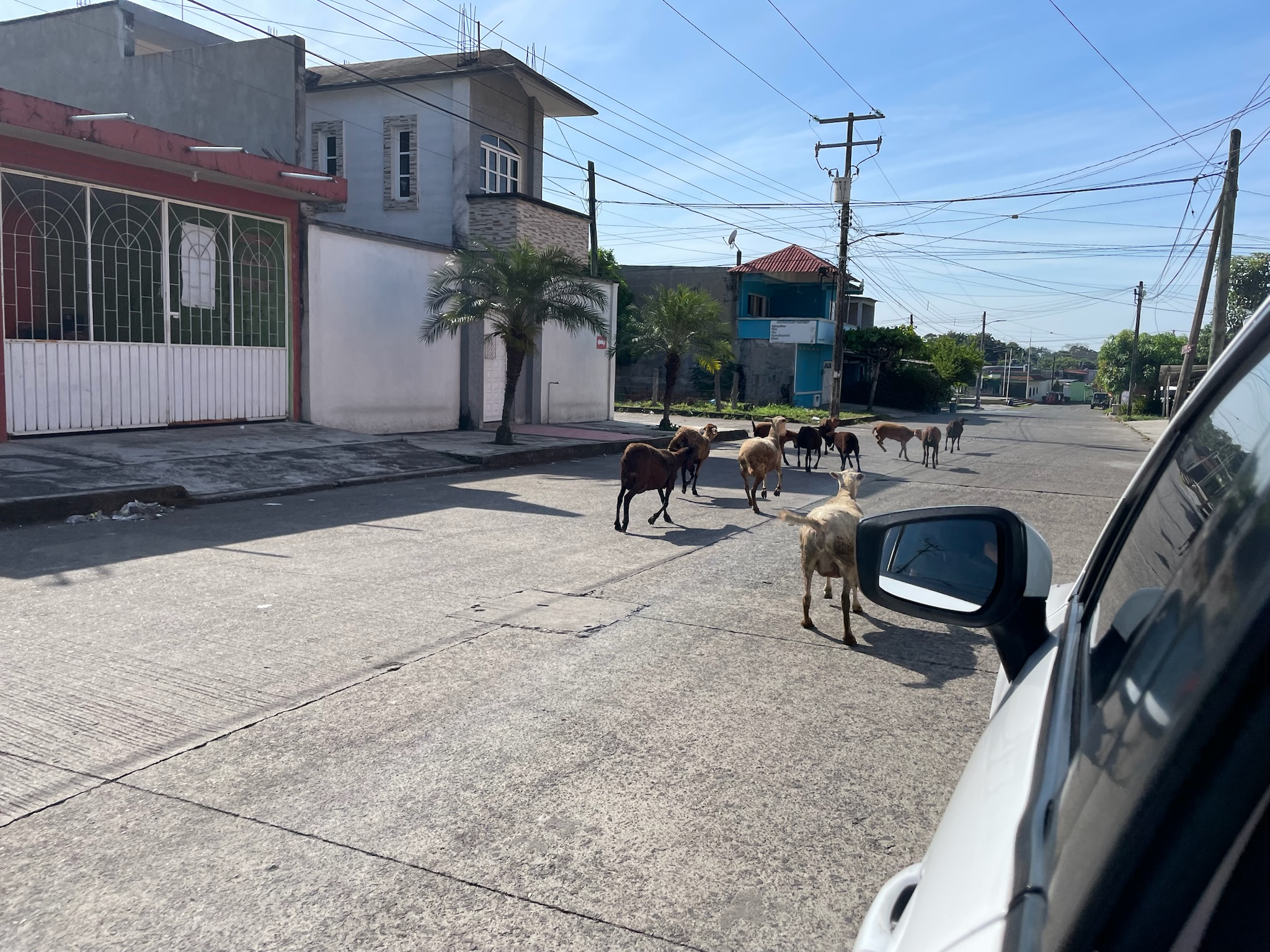
Friday, January 4 continued… We hopped into the car and drove a short distance through town of Tuxtla Chico to the main highway. We passed a herd of goats wandering the streets.
A very short way down the highway, Miguel turned into a driveway and parked. He announced we were at the historical Mayan ruins. Directly ahead of us was a small pyramid.
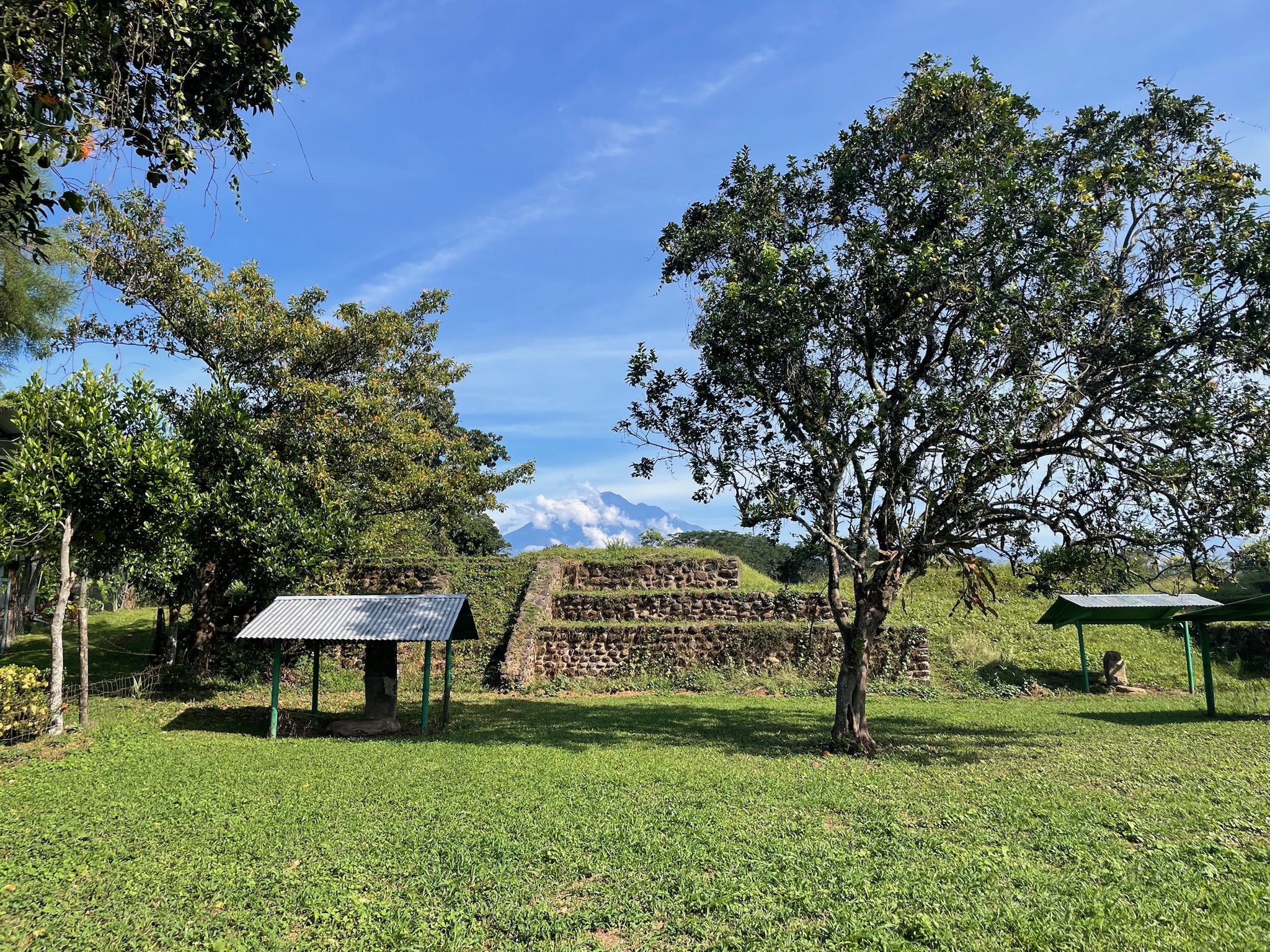
We realized that since the Mayan ruins were literally on the outskirts of town, that meant that Tuxtla Chico has been an established town for thousands of years.
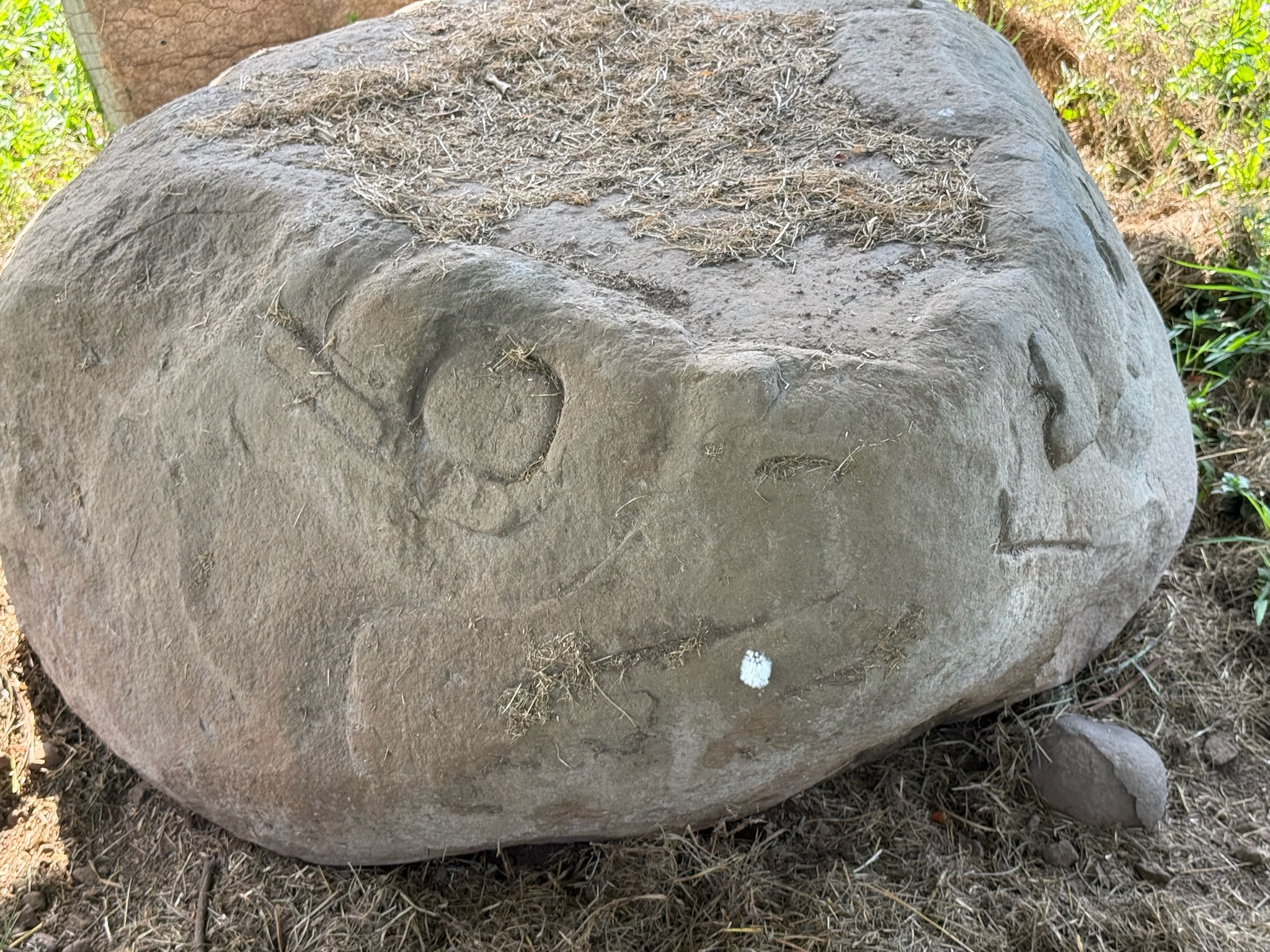
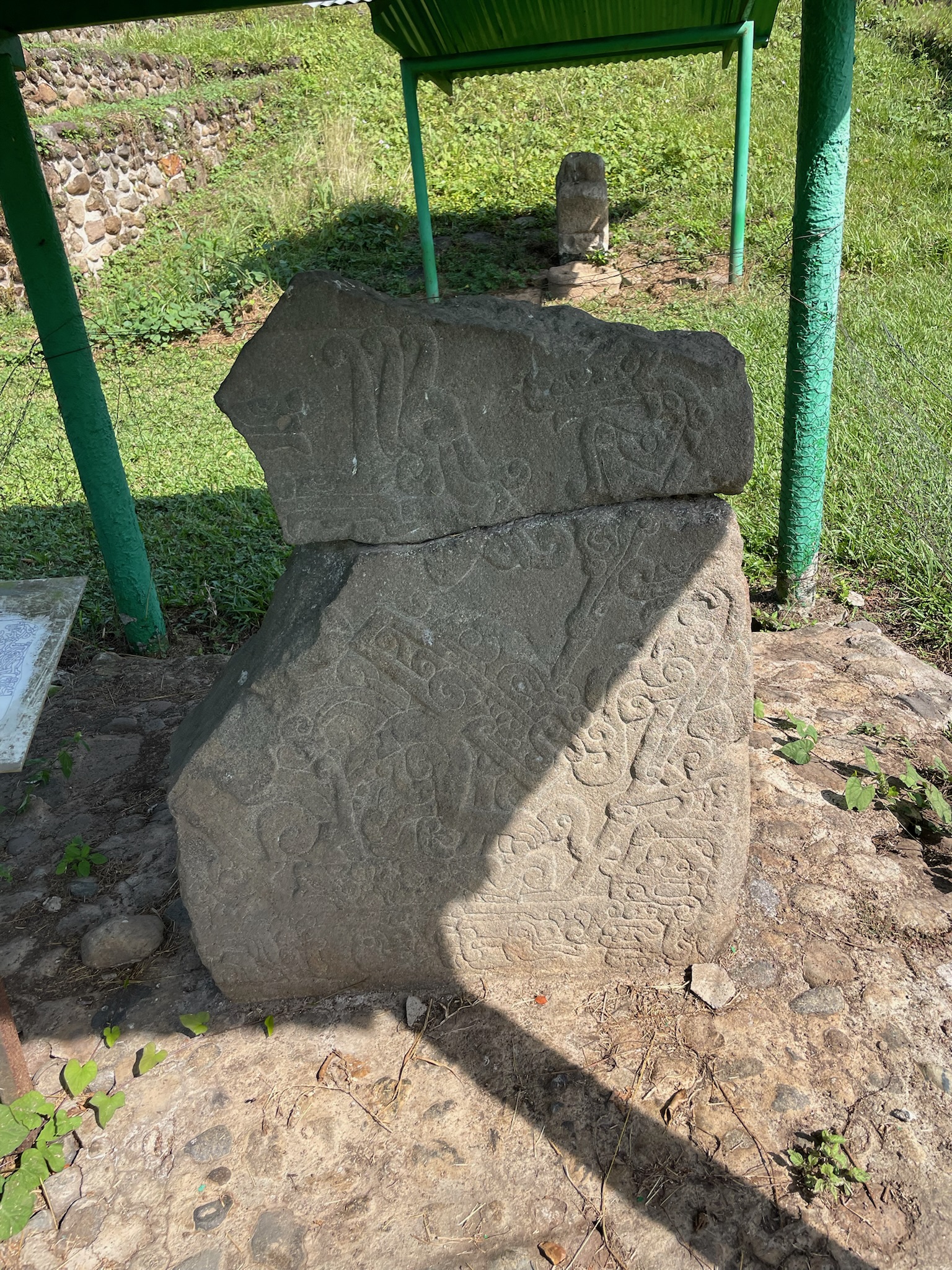
Jan had warned us that the site was very small, so we had low expectations. We got out and looked around, realizing there were actually five structures in all, with green grassy areas between each of them. There were also several small metal roofs dotting the grass. We realized the roofs were protecting rock carvings. Here are two of the clearer rock carvings
Next to the pyramid we parked in front of was another pyramid. It was larger and better tended to than any of the other structures. We believe that Miguel had said that this was the main pyramid, used for religious rituals. He explained the religious significance of the stair-step design… if we recall correctly, it was a reminder that humans were small compared to the dieties. This pyramid had been carefully aligned with the volcano.
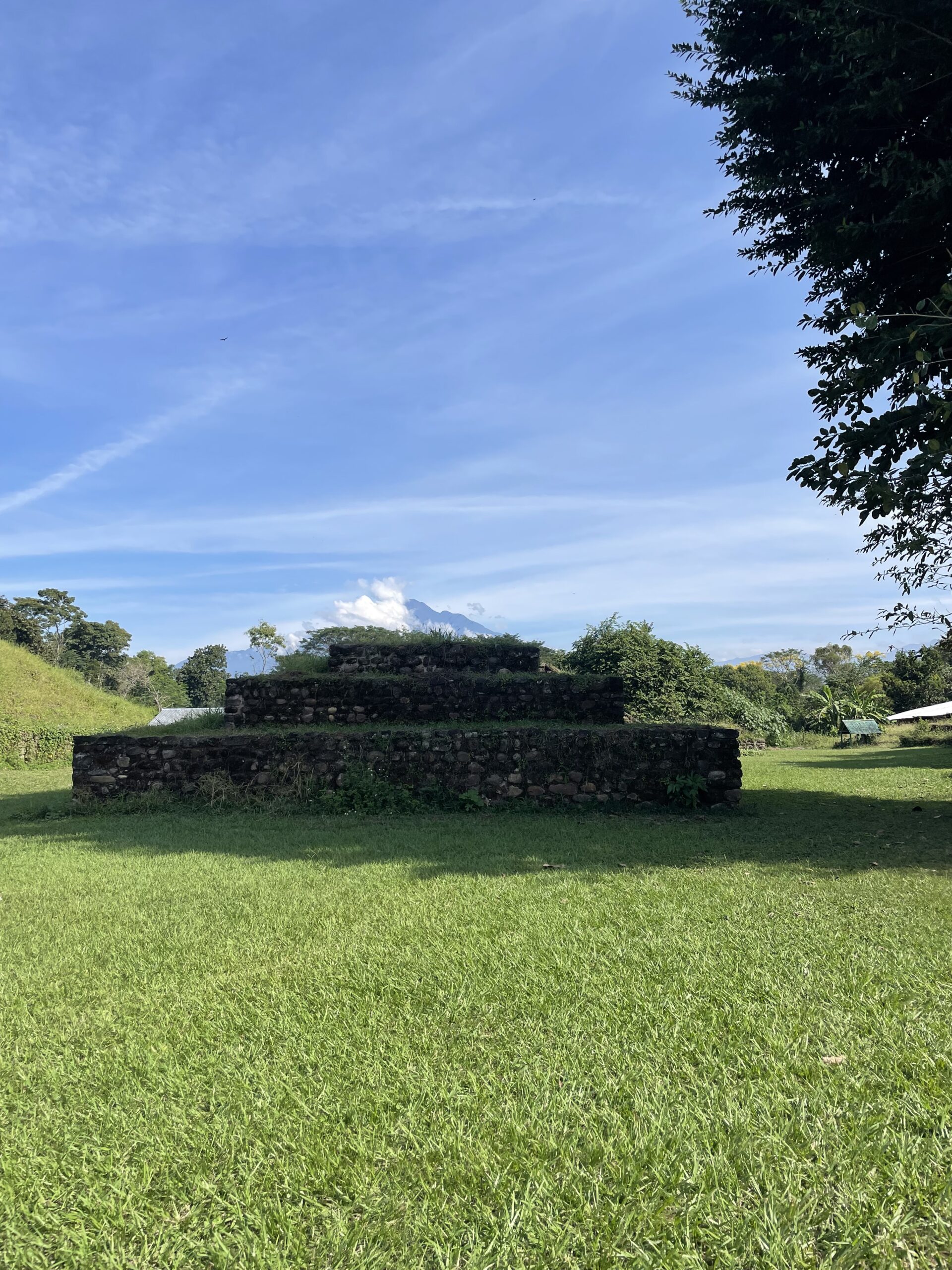
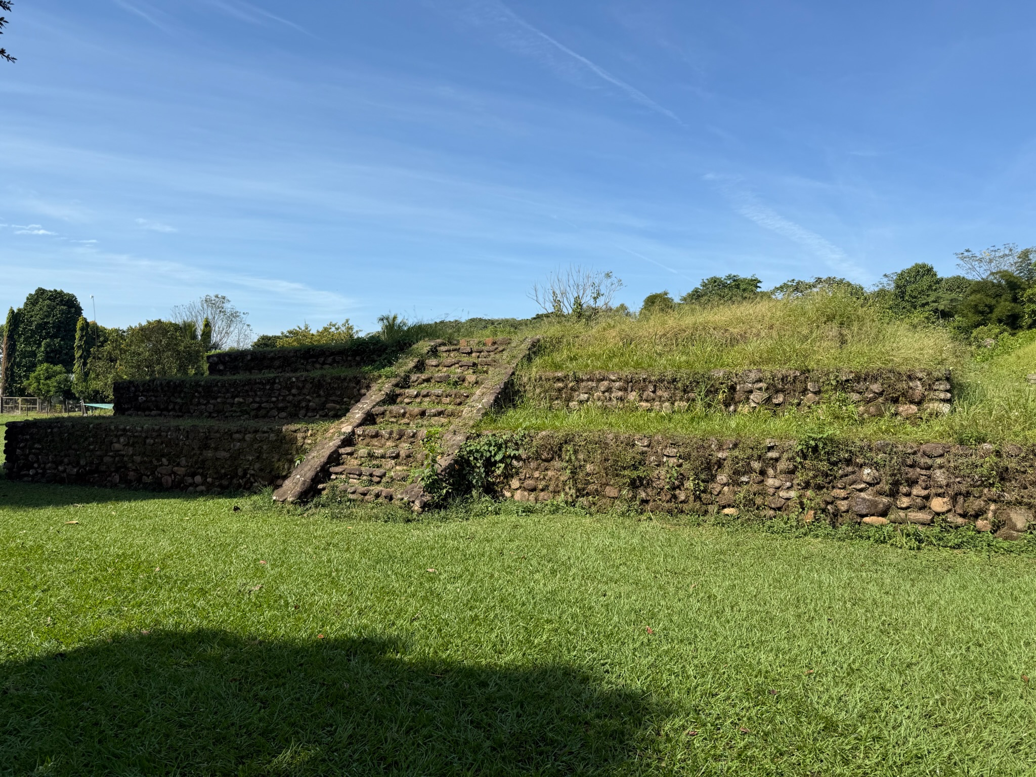
Miguel explained that in the Mayan era, this had been the town center. It was an active city from 1250 BC to AD 1200. From 500 BC to 250 AD, it was the most important city in the region, due in large part to the cacao production. Location wise, it was at a cross roads between the mountains and ocean, so it was also a trading hub. The city grew to be 127 hectares. Thousands of inhabitants lived around the city.
In addition to religious ceremonies, markets and sporting events took place here. We wish we’d videoed Miguel’s presentation. It was so packed with information that it was almost overwhelming. He’d come prepared with photos, maps and a variety of other visual aids to help us understand what he was teaching us.
The third structure was to the right of the main pyramid.
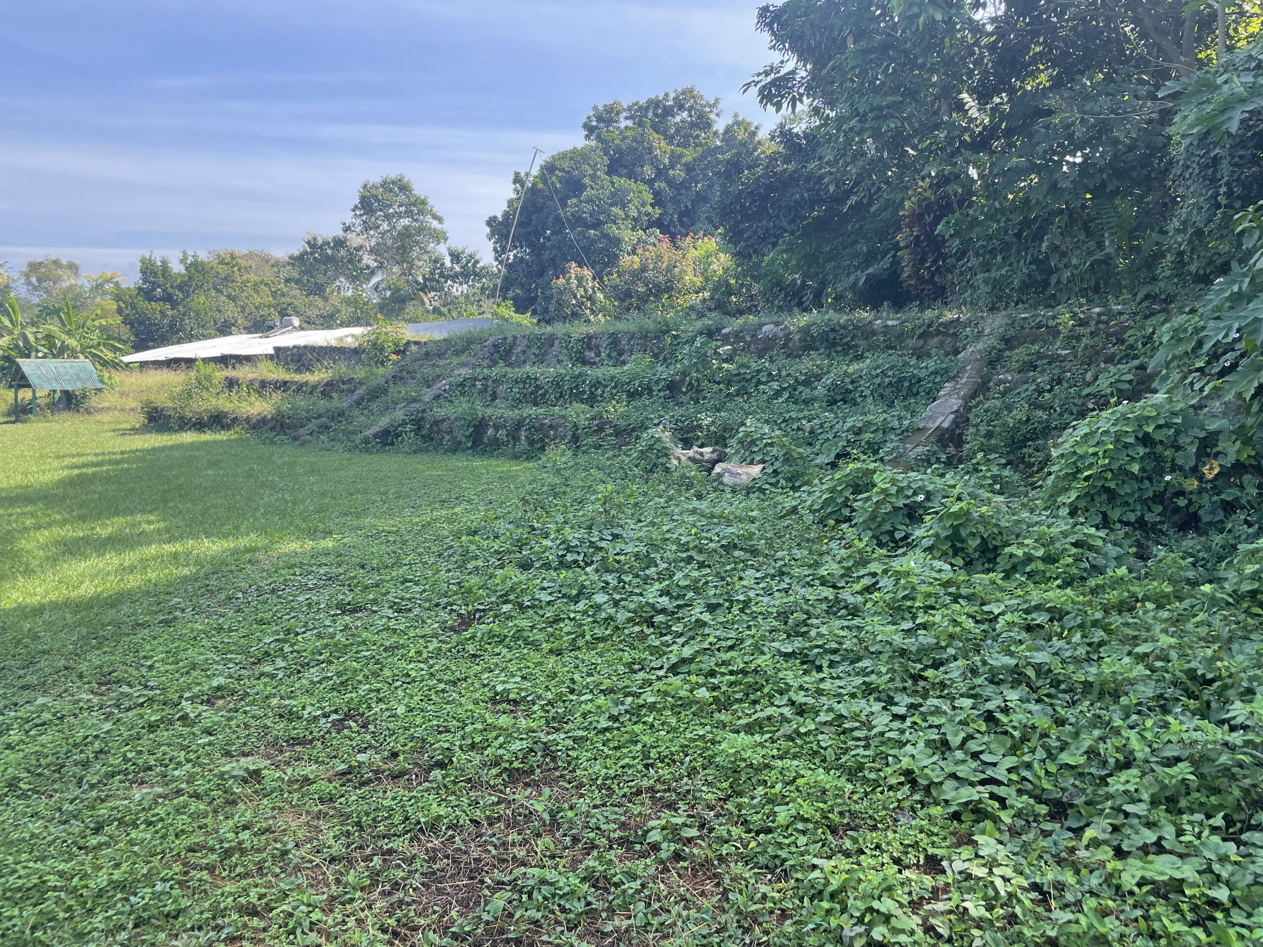
The fourth structure was behind the pyramid that we’d parked near.
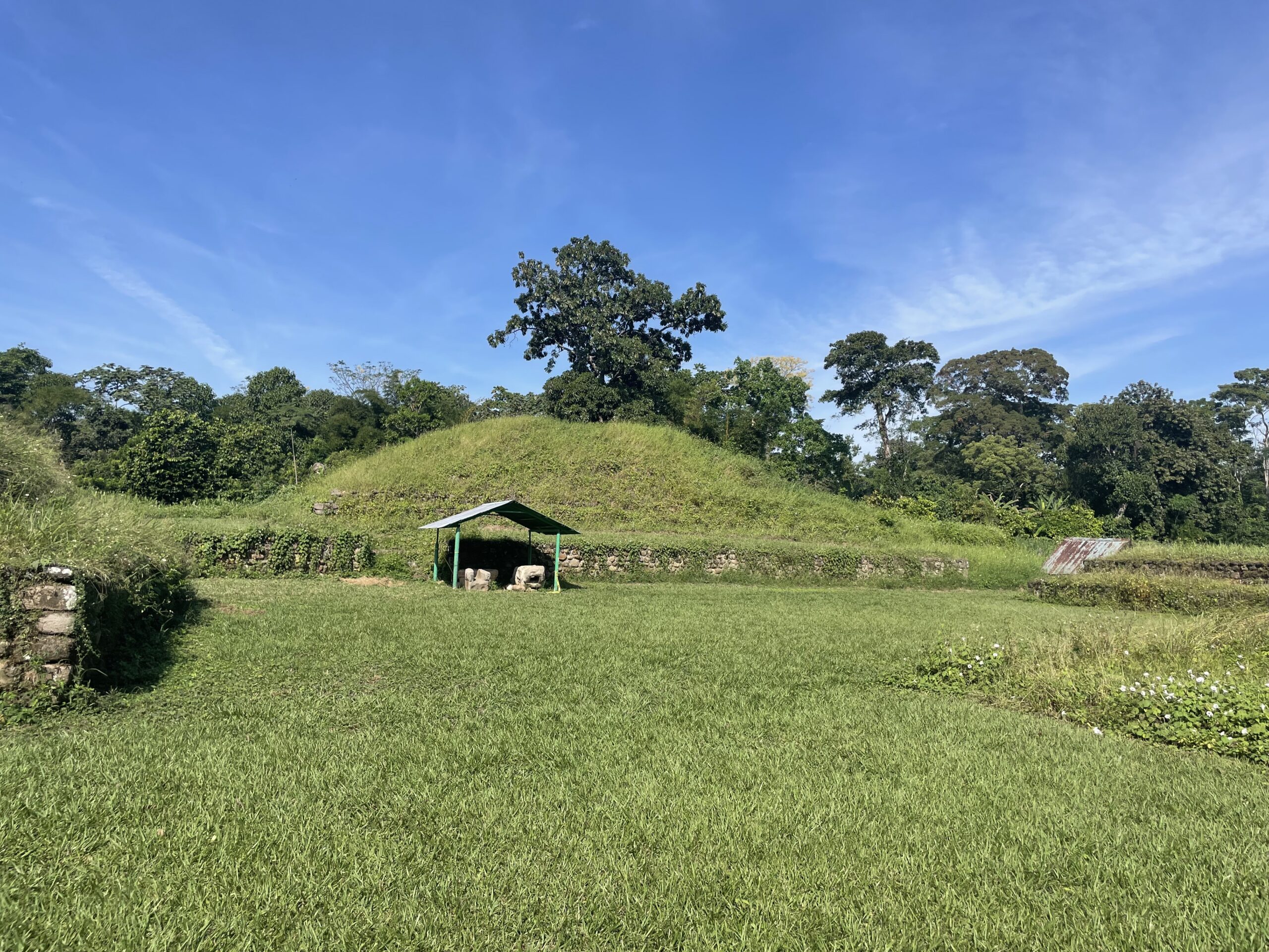
The fifth structure was behind the big pyramid.
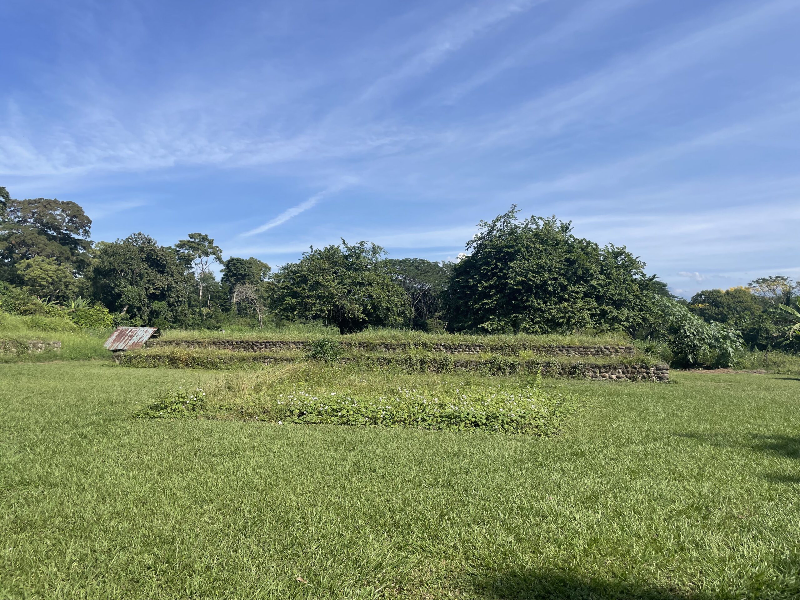
Behind the structures was a long, thin field where they played the game with the ball and ring. If we recall correctly, Miguel had said that in some of the competitions, the losers would be put to death. The field was aligned with the sunrise on the solstices.
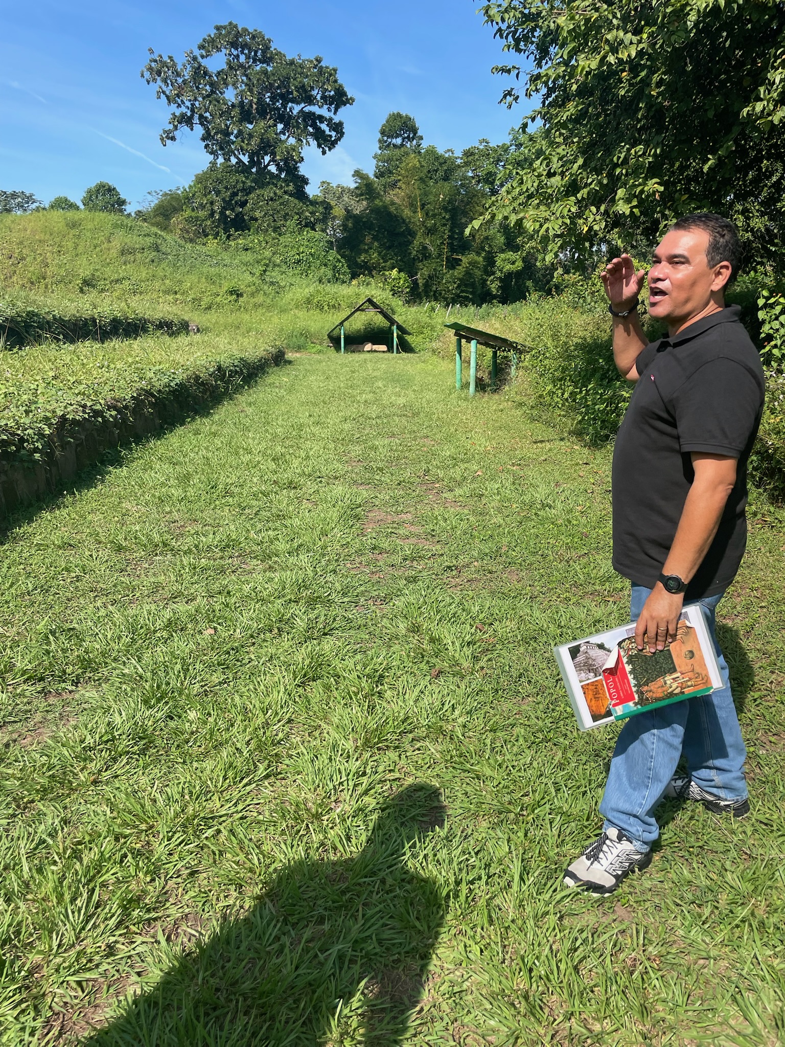
While it is difficult to see in the above photo, there was a small barrier wall along the edge of the field that had carvings.
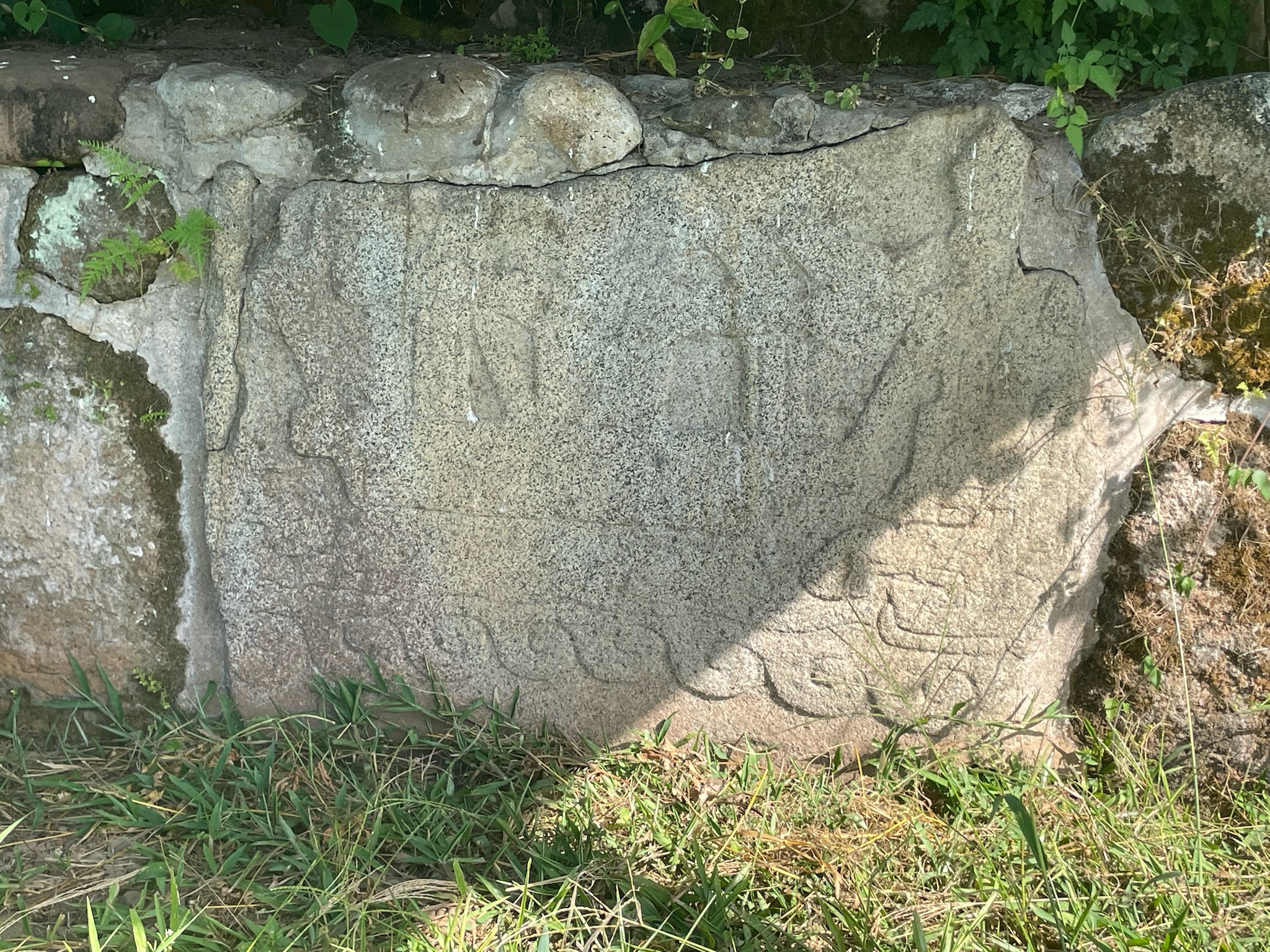
The edge of the Mayan central area was flanked by a pillar. At the top of the pillar is a person bowing to the volcano. You can see his rear end and the back of his feet.
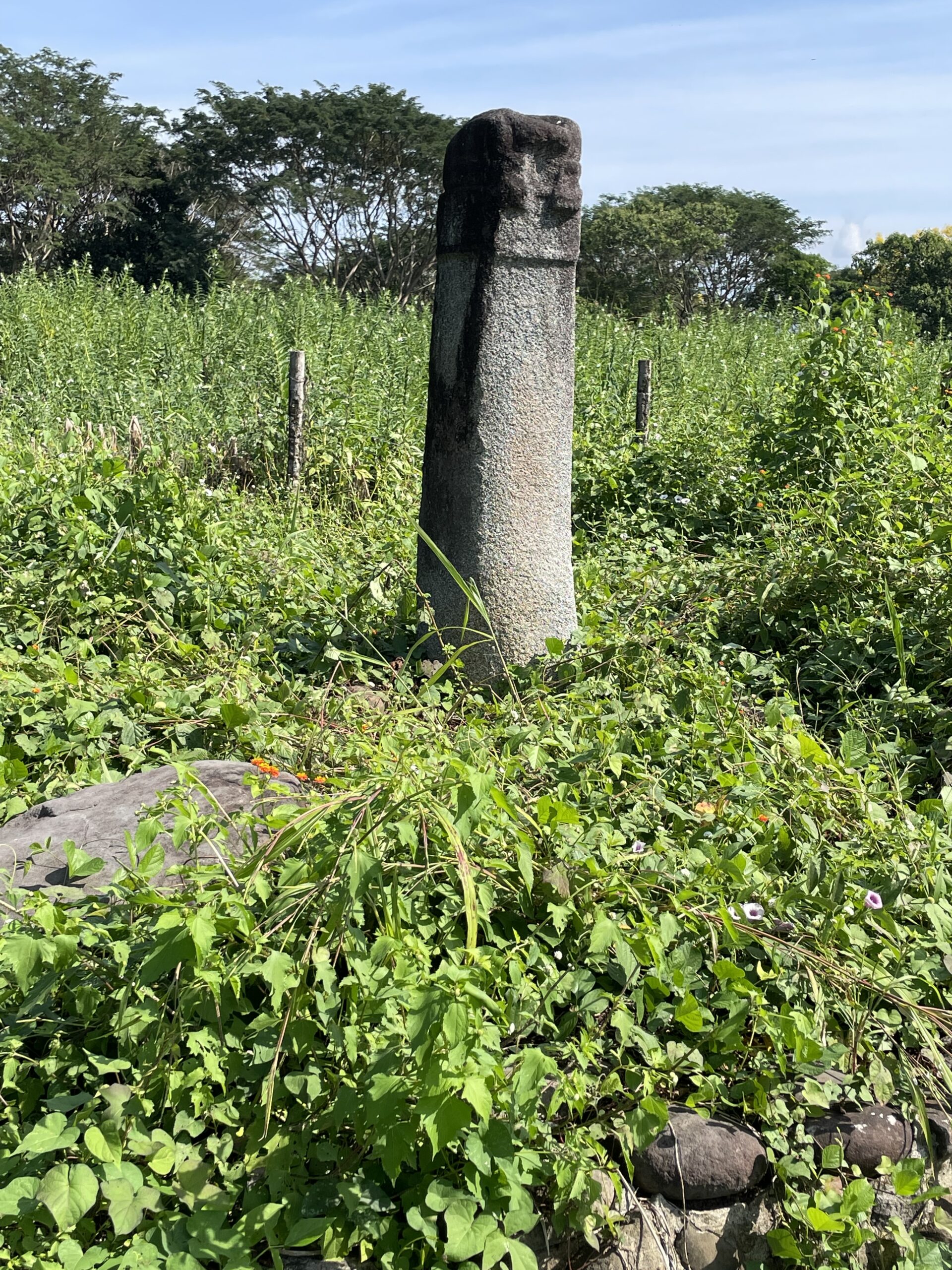
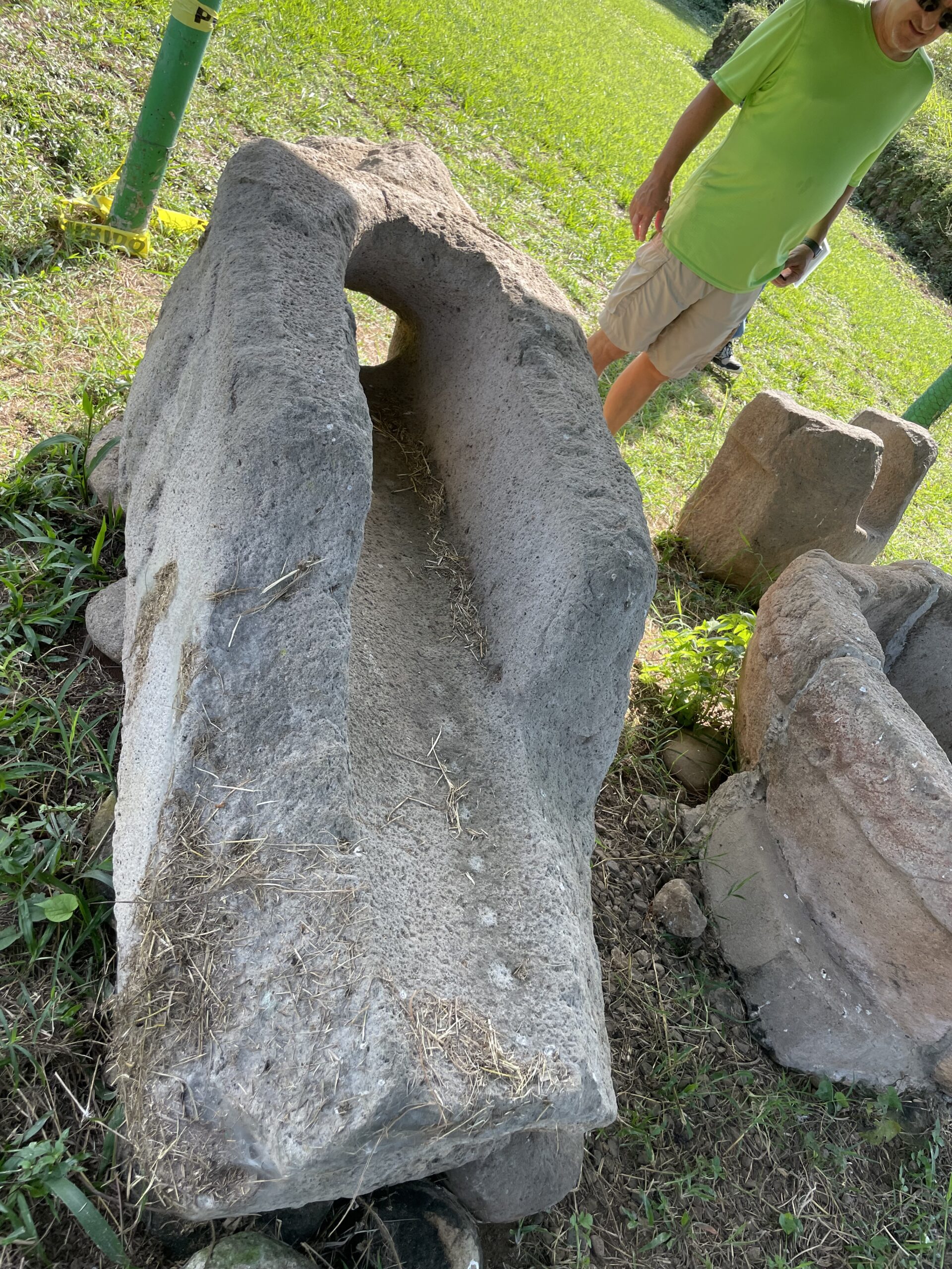
The Mayans had an aqueduct system. Here are some pieces of the aqueduct.
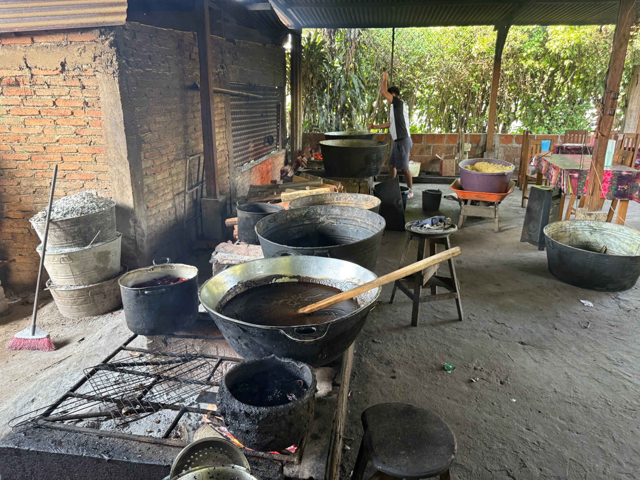
After we’d finished at the ruins, Miguel took us to the Dona Panchita tamale factory. Pretty much everyone had told us that this place made the best tamales in the region. When we think of factory, we think of automated. Everything here was done by hand. Here they are cooking the assorted fillings over a wood-fire stove. Behind the guy stirring the pot is a bucket of corn meal.
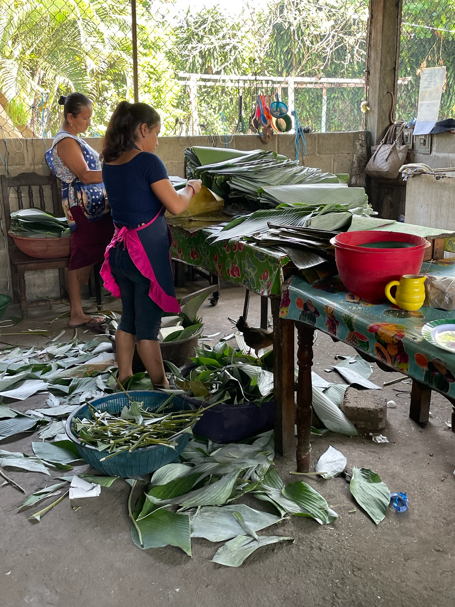
Preparing the leaves to wrap the tamales in
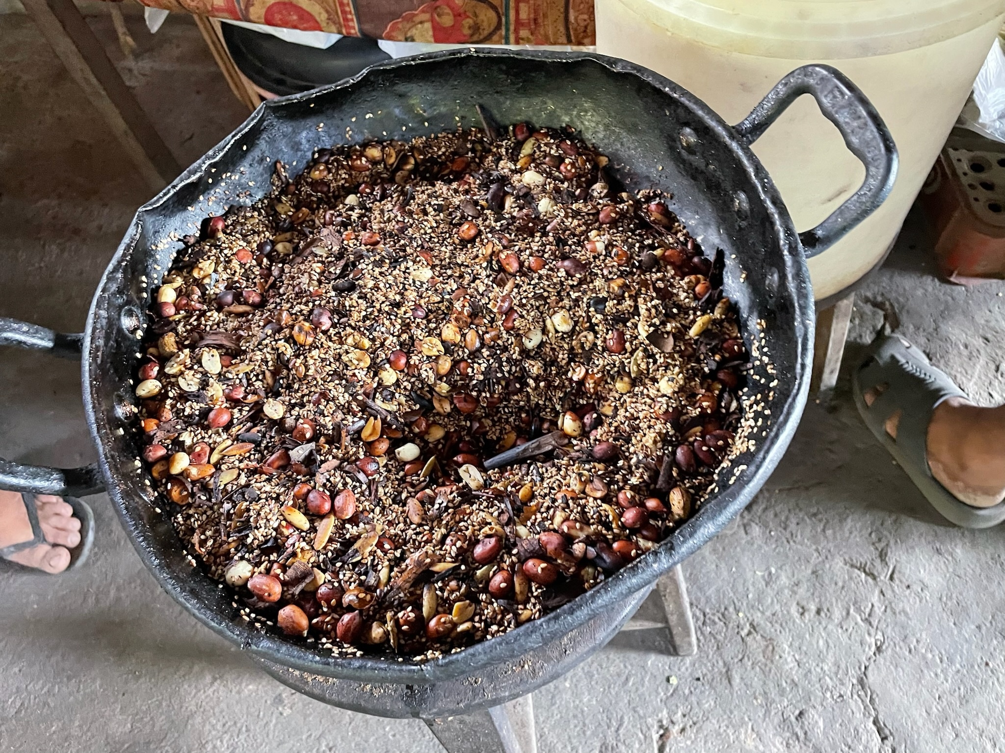
We got to see the super secret mole ingredients right before they put it into a blender to turn it into a sauce. We already knew there were chocolate seeds and peanuts in it. We identified sesame seeds, but couldn’t identify any of the other ingredients. Does anyone else know?
We bought enough tamales to last us for our upcoming passage.
We piled back in the car, and Miguel dropped us off at the marina. That tour was the highlight of our time in Chiapas. We were sad we couldn’t stay longer to do the coffee tour with him, too. We seriously regret not contacting him sooner so we could have done both.
We spent the rest of the day getting ready to go to sea the next morning.
