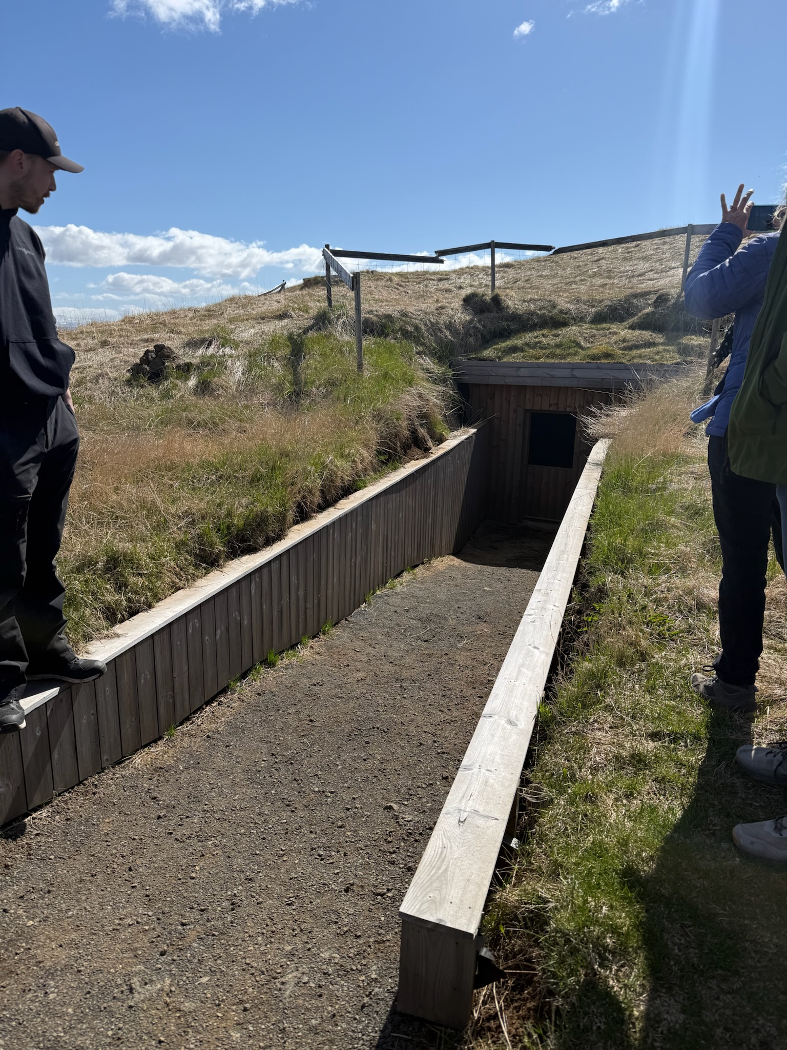
Continued… We continued across the field to the fourth cave.
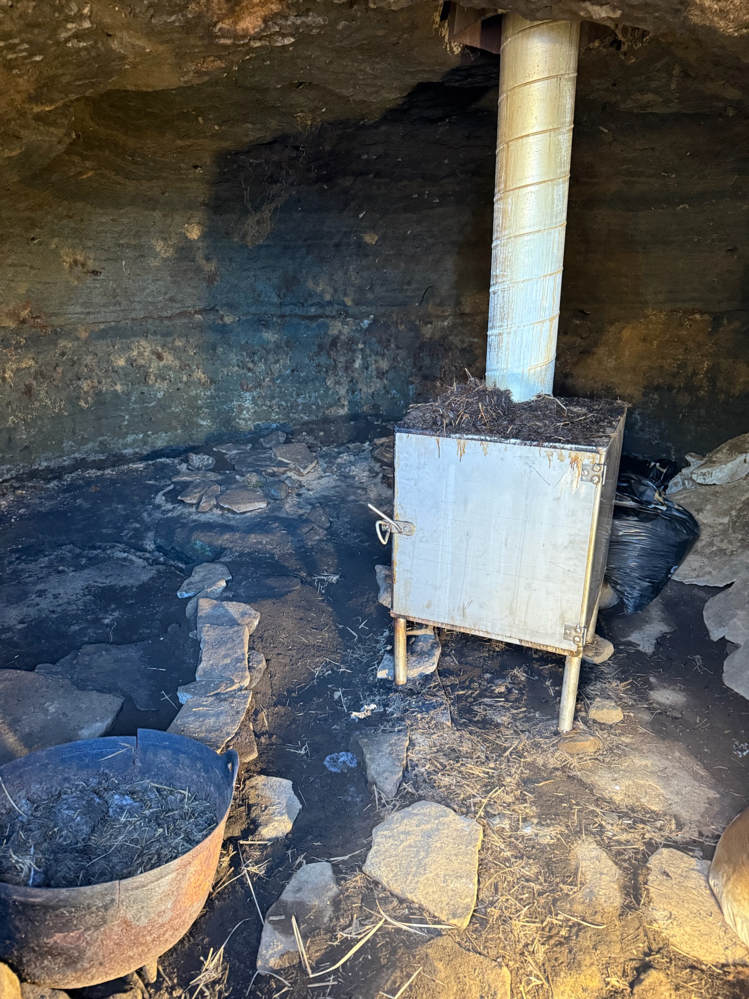
This one was currently used as a smokehouse. It had previously been used as a smokehouse, but they’d stopped — we didn’t remember why. The government approved it being used as a smokehouse again, but they couldn’t have open fire. So they got a contained smoker that ran on sheep poop. He made a lot of jokes about that. They grew their own meat and smoked it here, and it was available for sale in the little store where we’d purchased our tickets.
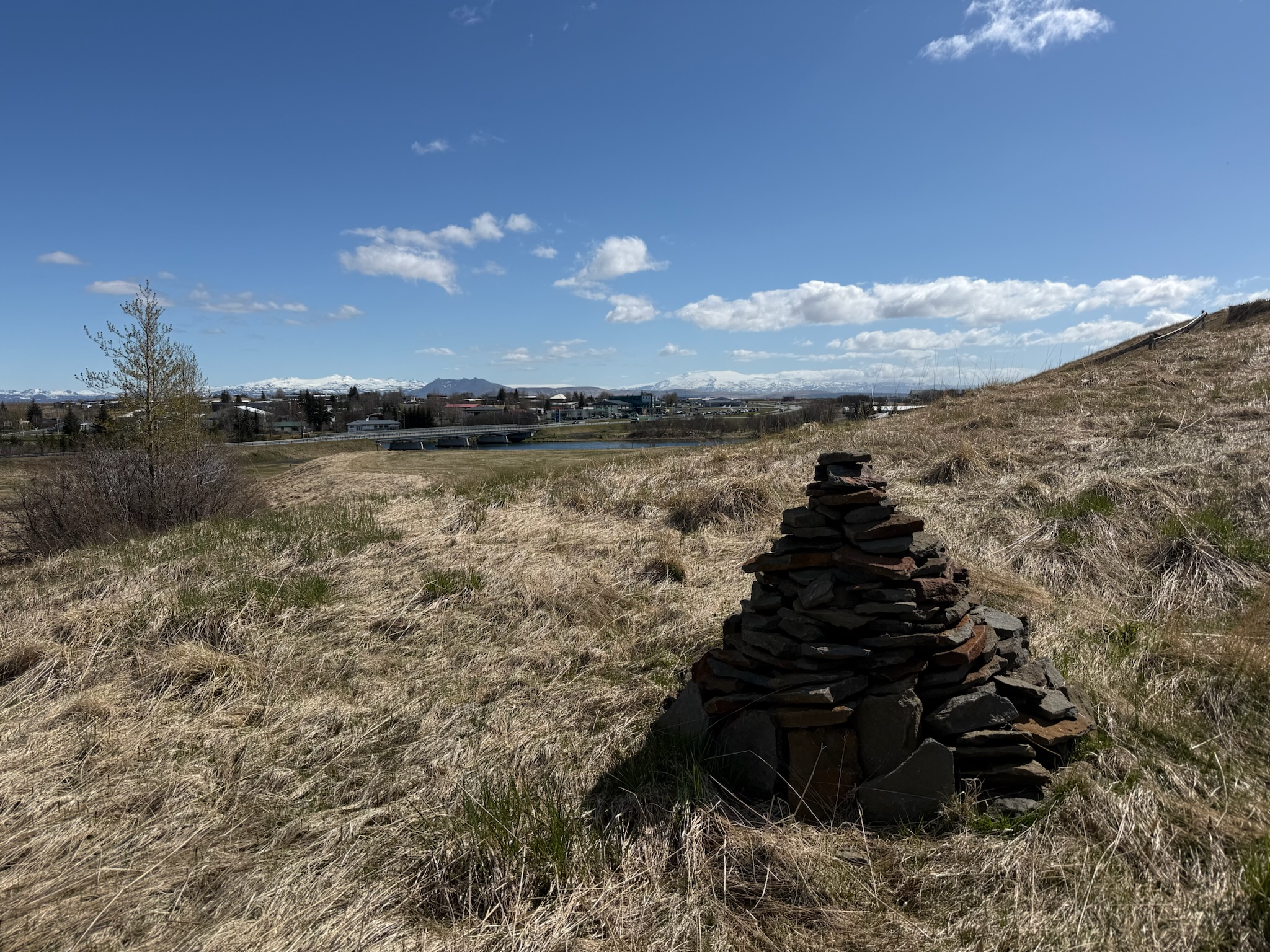
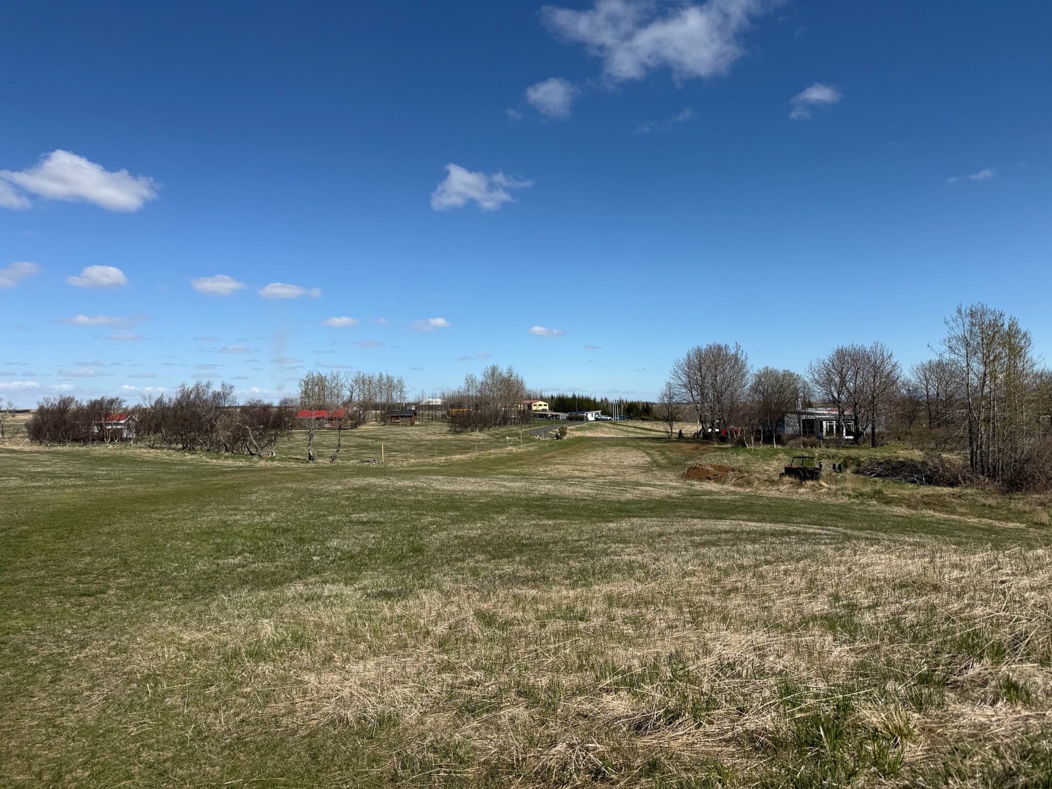
At this point, he complained about government bureaucracy. The family that owned the farm was trying to restore more of the caves, and they were formally doing so under the supervision of the Cultural Heritage Agency of Iceland. However, the government was moving slowly and creating hurdles. This was the view from the smokehouse towards town.
And the view of the farm looking the other direction.
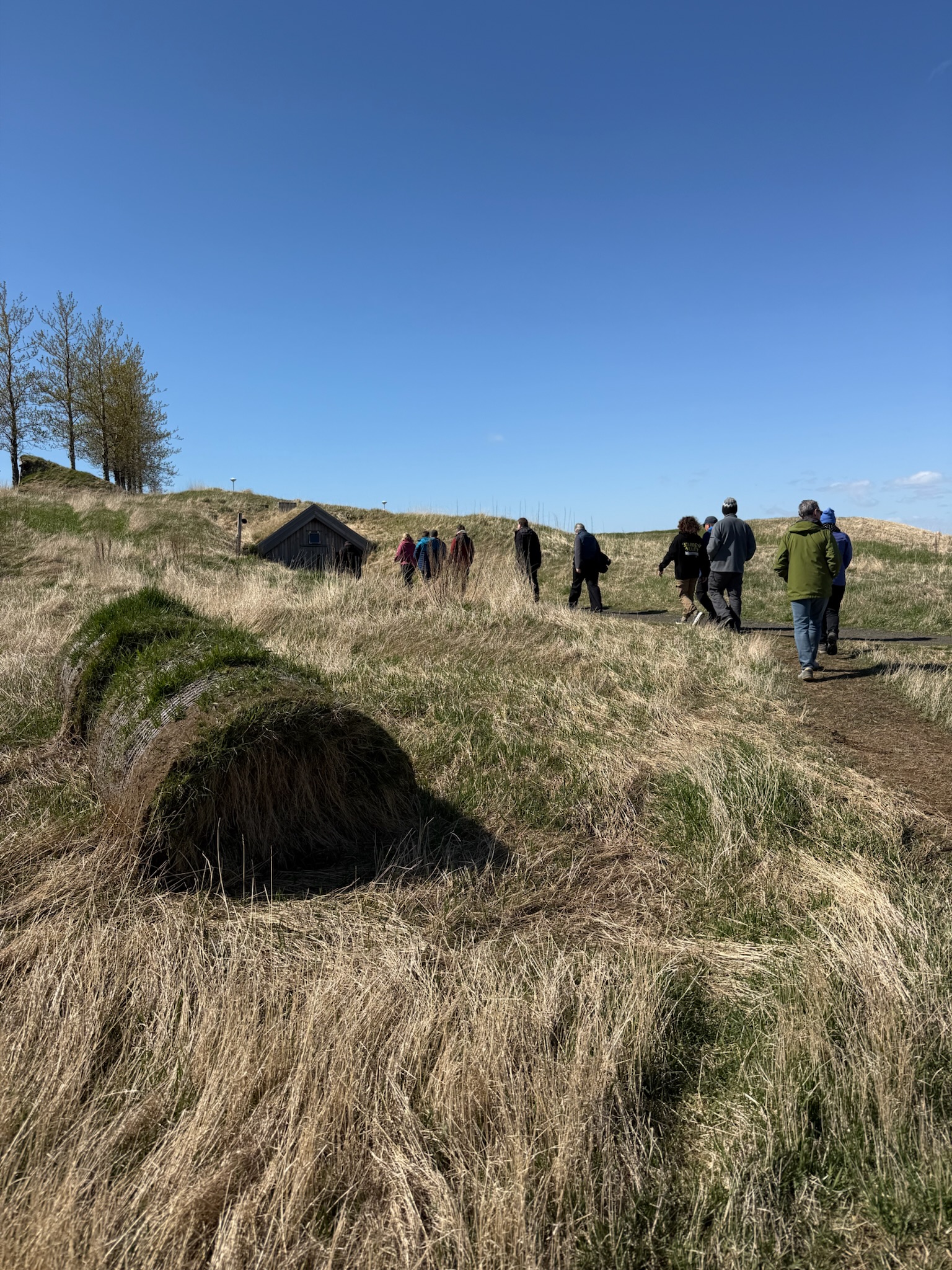
The next cave was not far from the smokehouse, and it was pretty close to a large structure that looked like a house.
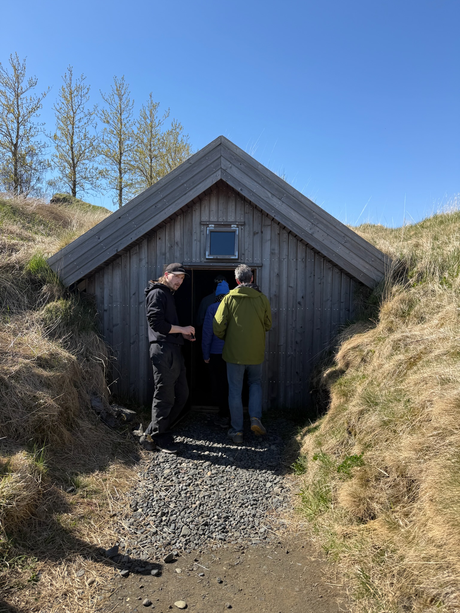
The entrance.
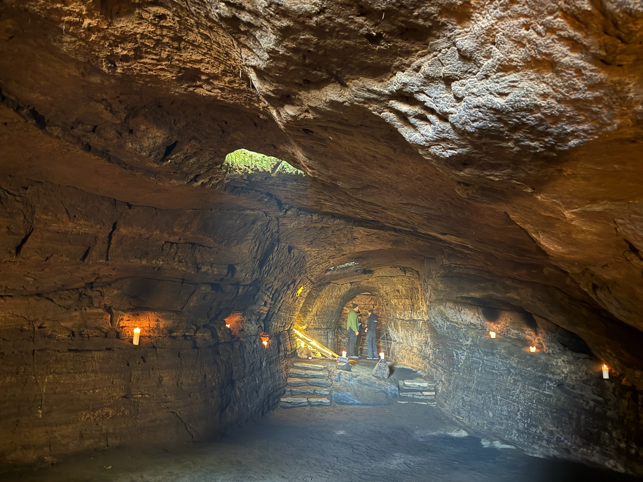
This cave was significantly larger than the other caves. It was long and deep.
Looking back at the door.
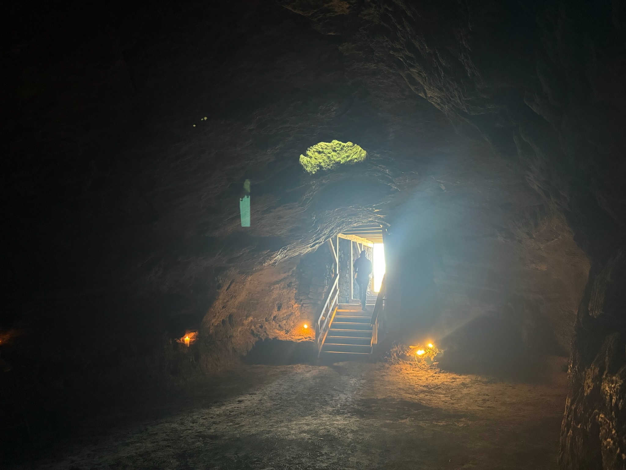
The guide explained that it had apparently been used as a church. The raised area with the arch (see 2 photos up) was an altar. The cave had been found with all the indentations in the walls for candles. The angled light at the feet of the guy to the left in that photo was a track. There was a cart that ran on the track. A portion of this cave extended under the house, and a previous generation had set up the track so they could easily move items between the house and the cave via the cart.
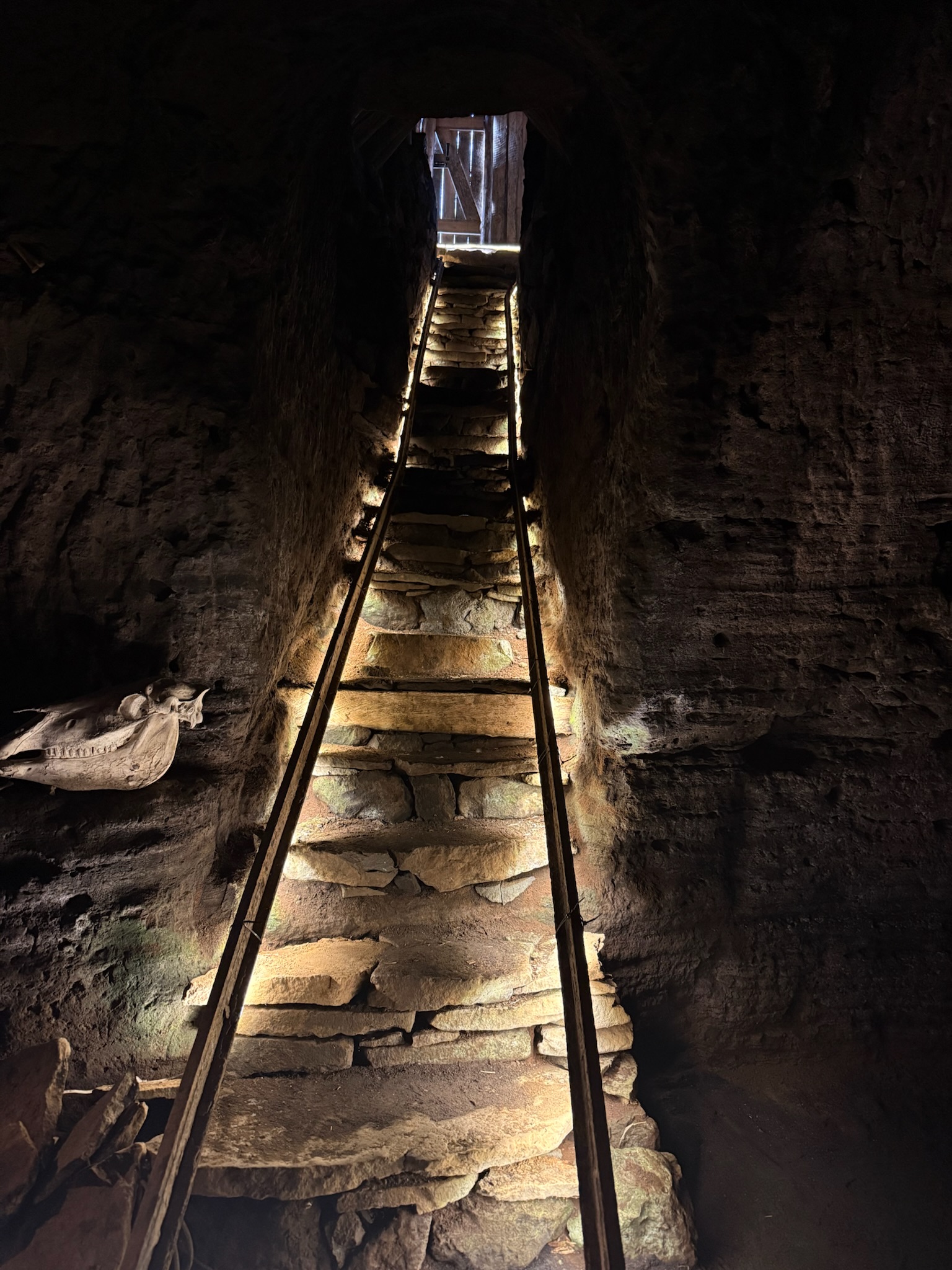
The guide said that the kids used to ride in the cart down the track like it was a roller coaster ride. We went up to the altar area.
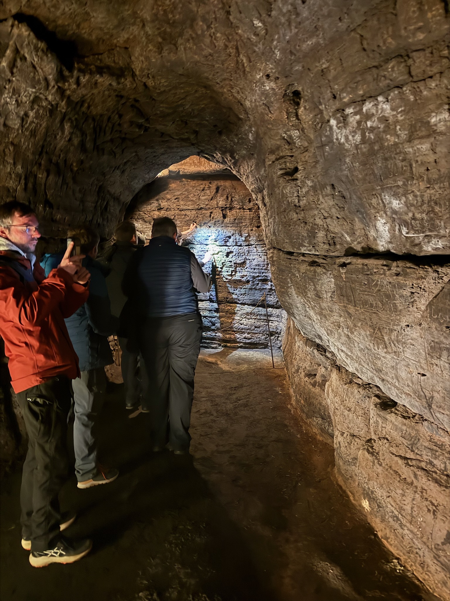
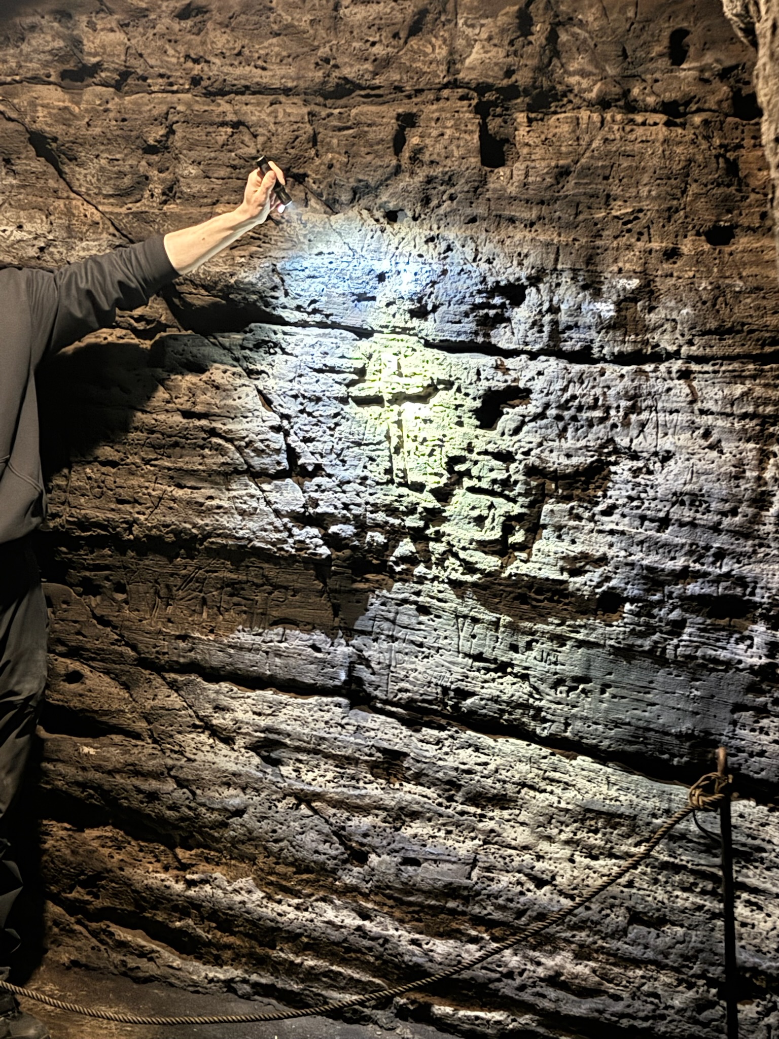
The guide showed us that a Celtic cross was carved into the back wall.
It was an interesting tour and we were glad we’d gone. At this point, we were hungry, so we stopped for lunch at the closest “real” restaurant, Eldsto Art Cafe. You can see our rugged rental car and a little bit of the office building complex next to the restaurant.
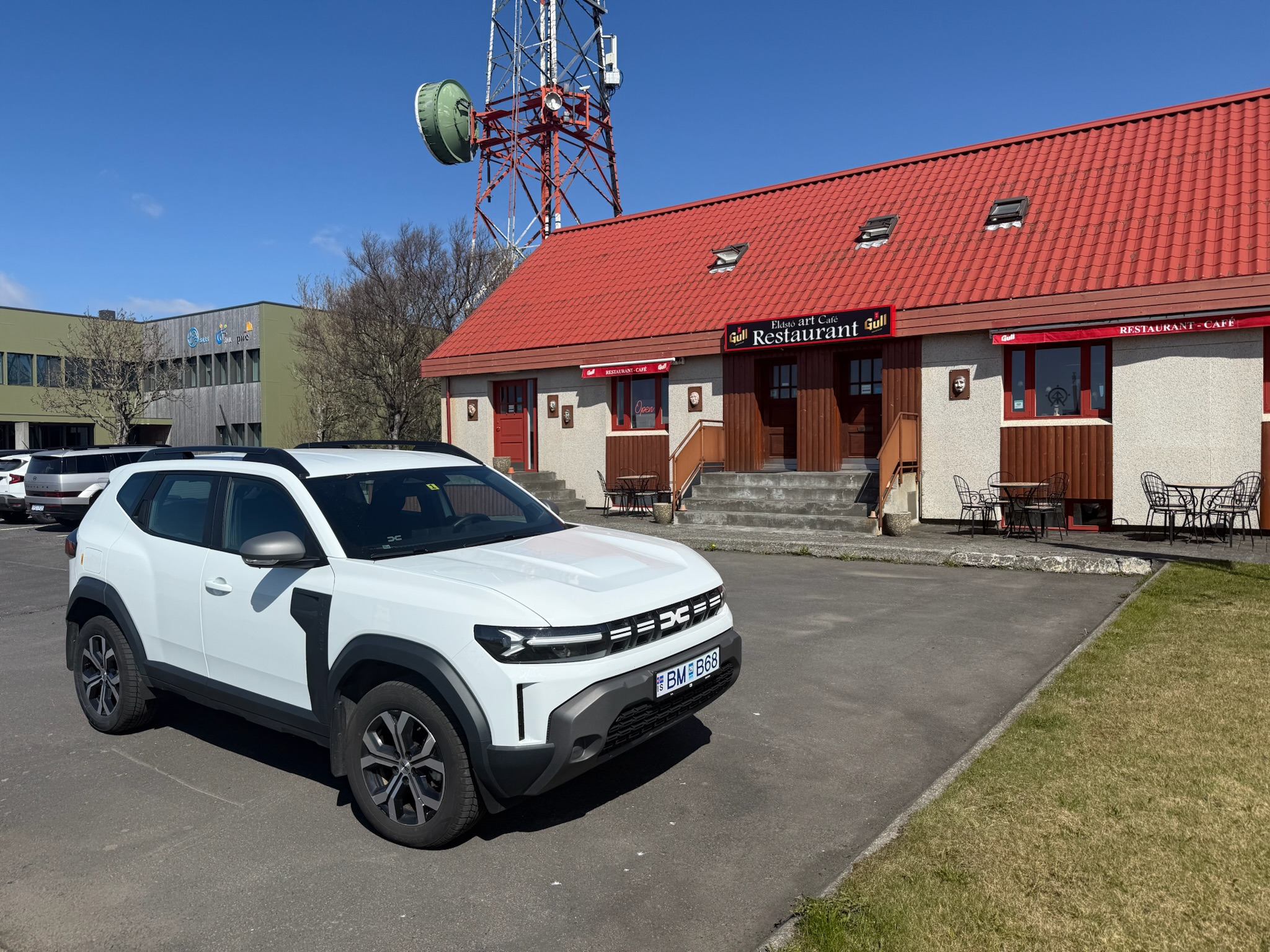
The reviews had said the food was expensive and mediocre. But it was a tiny town and our choices were limited, so we sat down and looked at the menu. They charged $40 for a burger and fries, so we decided to try one of the other options. Our only other choices were the school bus or the two gas stations.
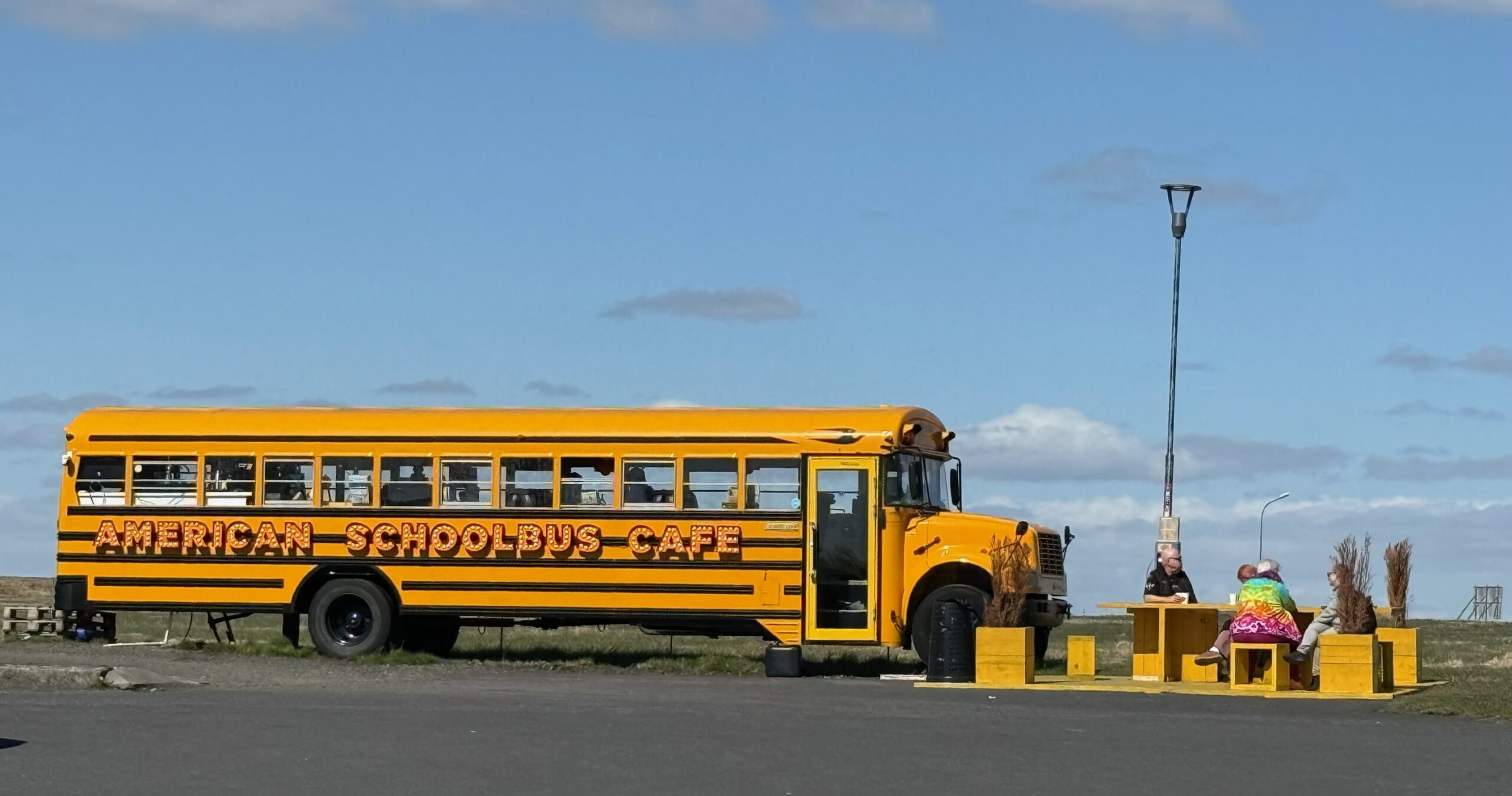
The travel guides that we’d read said that Icelandic gas station food was good and had great prices. It claimed that most of the locals ate lunch at gas stations. As tempting as the school bus was, we figured this was a good time to be open minded. So went to the closer gas station. The gas (petrol) pumps were to the left of the photo.
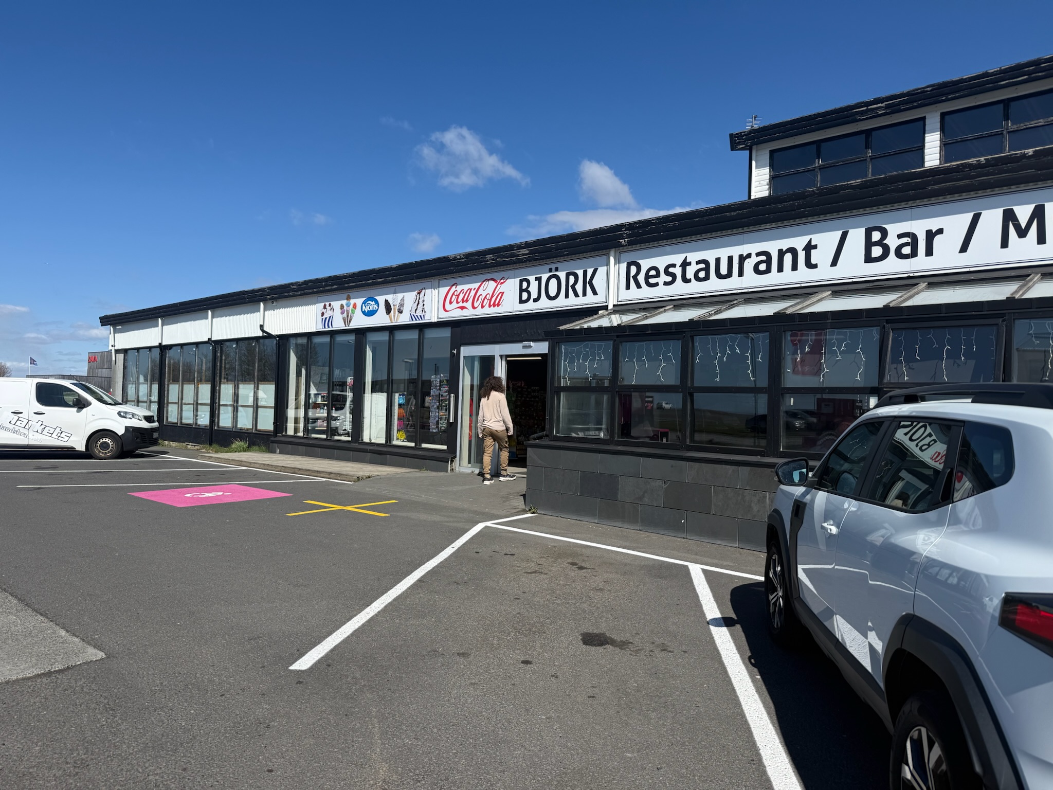
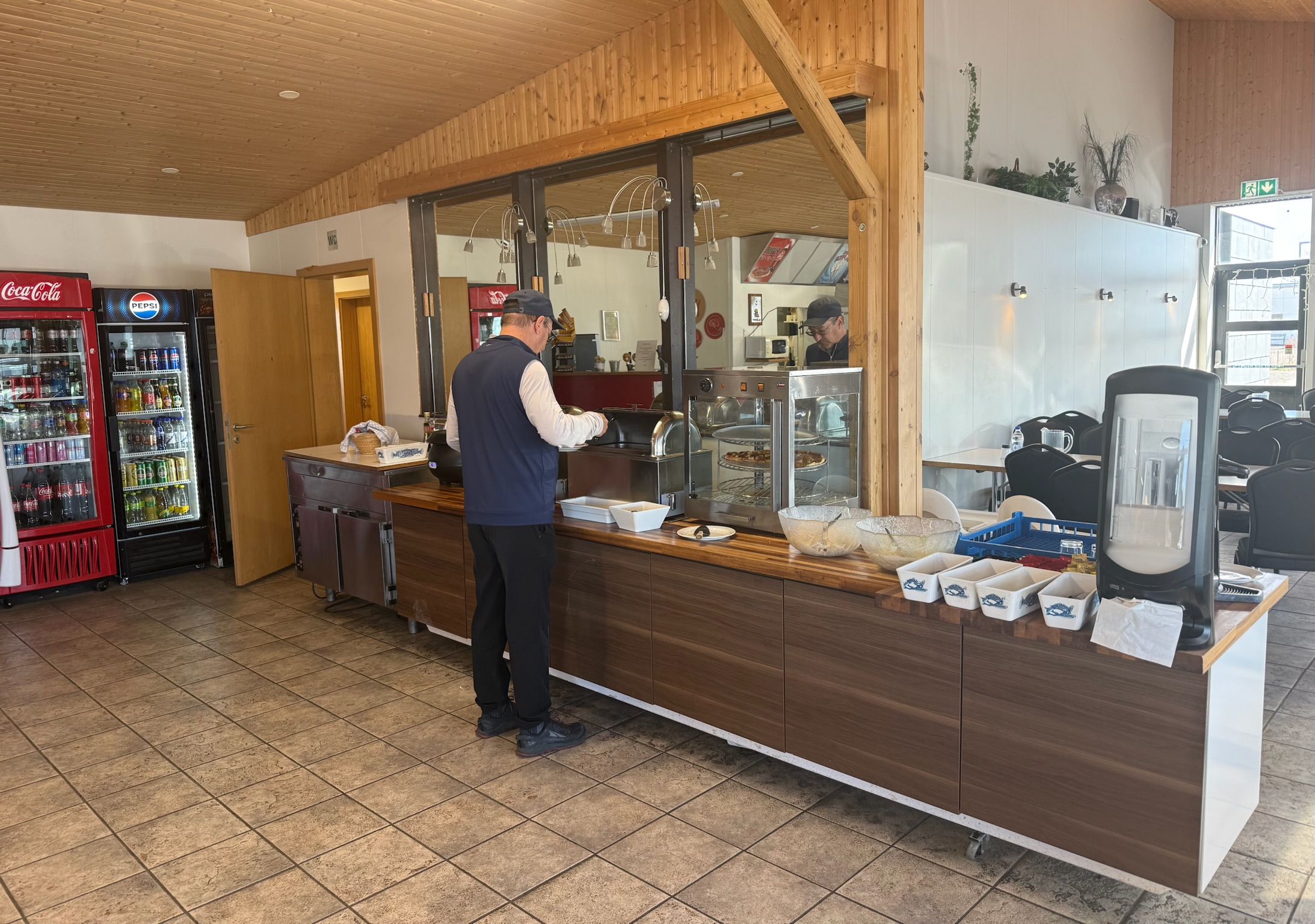
They had a buffet option or you could order off the menu. Christi and Keith ordered burgers and fries, which were almost half the price of the other restaurant. And they were indeed good — not even remotely close to a gas station burger in the US.
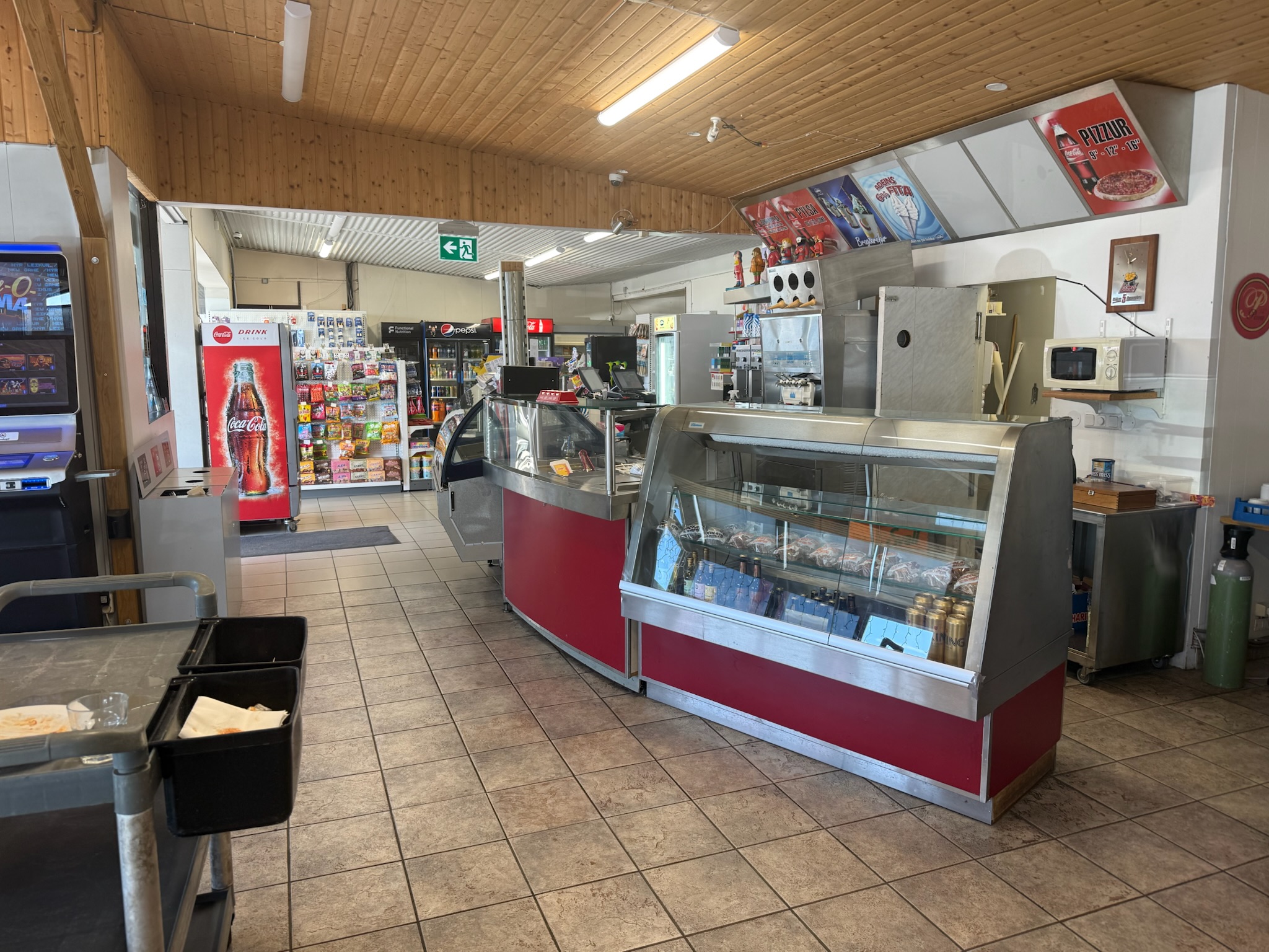
Eric got the buffet, which didn’t cost much more than the burgers/fries. It was a small buffet — basically an all-you-can-eat five course meal, and it was also surprisingly good. There was seating to the right of this photo, so we were able to enjoy our meal inside.
The next stop was Seljalandfoss, which translated to The Secret Waterfall. It was another half-mile southeast. We found it easily. They had a parking lot that was packed, but people were constantly leaving, so we found a spot with little difficulty. We did have to pay to park. The sign said that this was one small section of the much larger Katla Geopark, Iceland’s first UNESCO geopark. From the parking lot, we could see the “not secret” waterfalls.
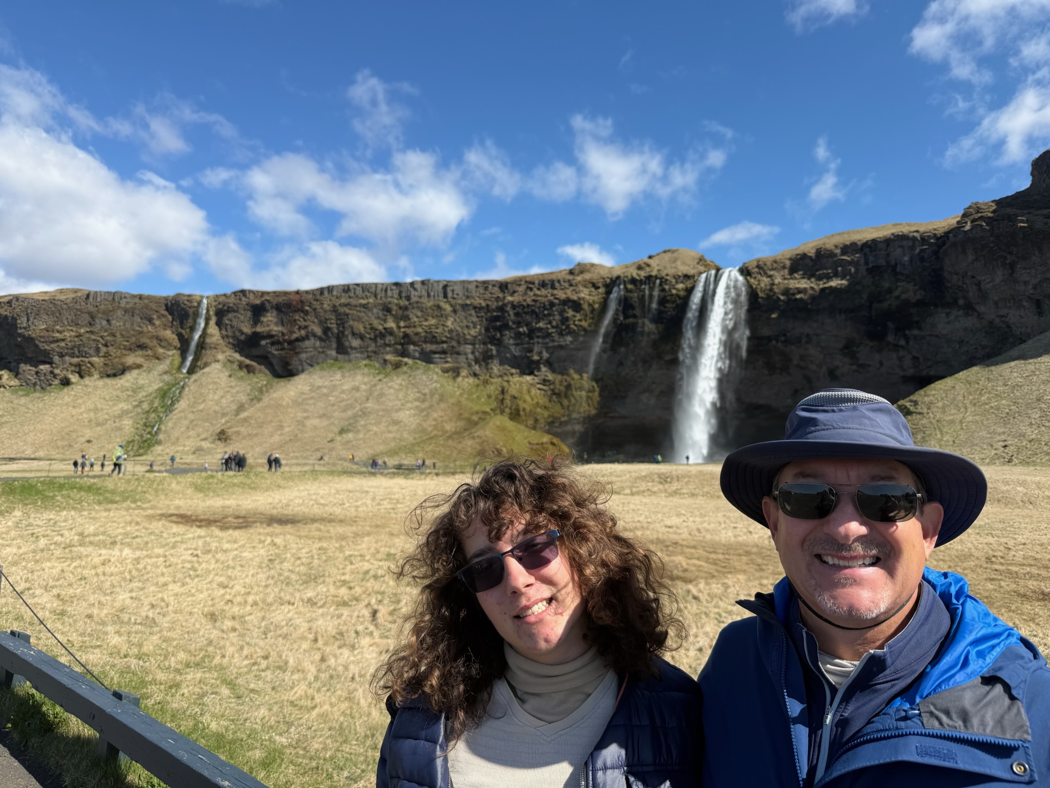
The path from the parking lot took us to the big waterfall (on the right in the photo above). The cliff above was 65 meters and was part of a lava field created during an eruption somewhere between 9,000 – 11,000 years ago. There was a beautiful, perpetual rainbow sheen glittering around the fall.
We suspect the reason it was called “secret” was because there was a walkway along a narrow ledge that went behind the big waterfall. It was a scramble up the steep, slippery rocks on the east side of the water up to the ledge. It was also only one person wide and there was a lot of people going both directions, so we frequently had to stop to give way to oncoming traffic. But it was worth the effort. The view was stunning and it felt magical to be in a little nook protected by a wall of running water.
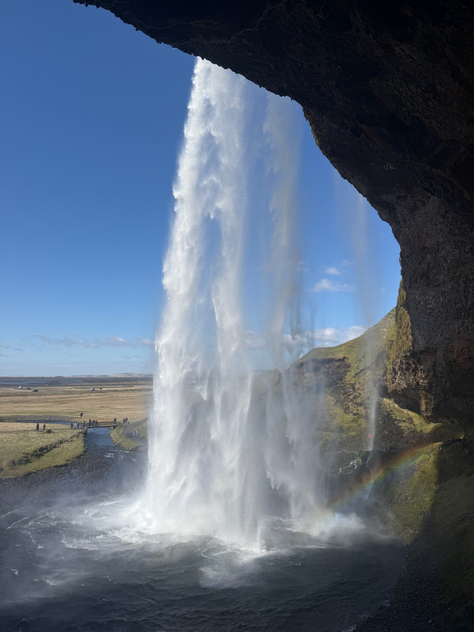
The ledge went all the way around, ending on the west side of the fall, but to do the circle, we would have had to walked through one of the smaller spouts that could be seen in the video above. We didn’t want to get soaking wet, so turned around and exited on the east side. It was even more treacherous going down than up.
There was a path that led west from the waterfall. We followed it.
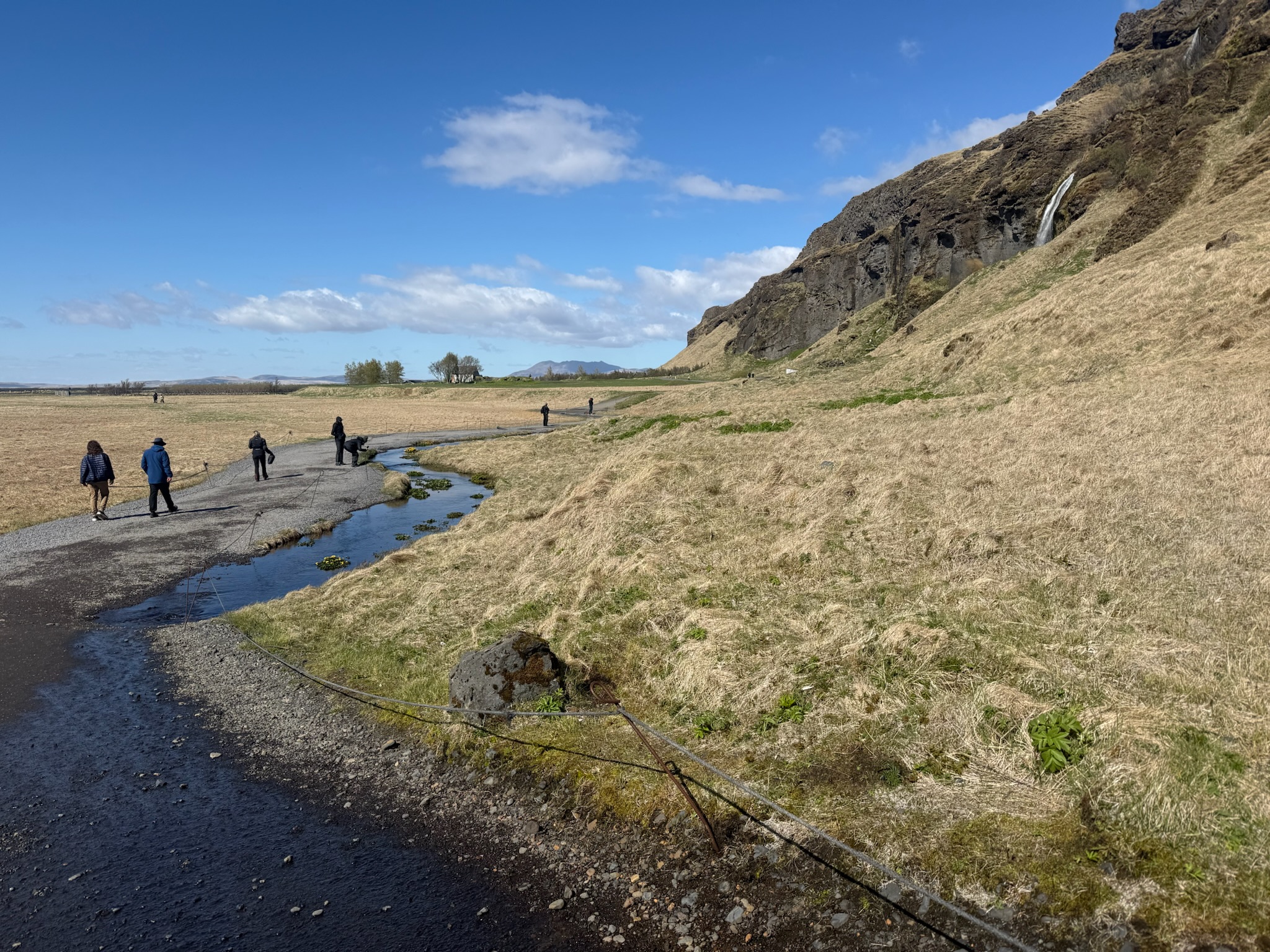
It went past the other fall that had been visible from the parking lot. It appeared to be inaccessible to pedestrian traffic.
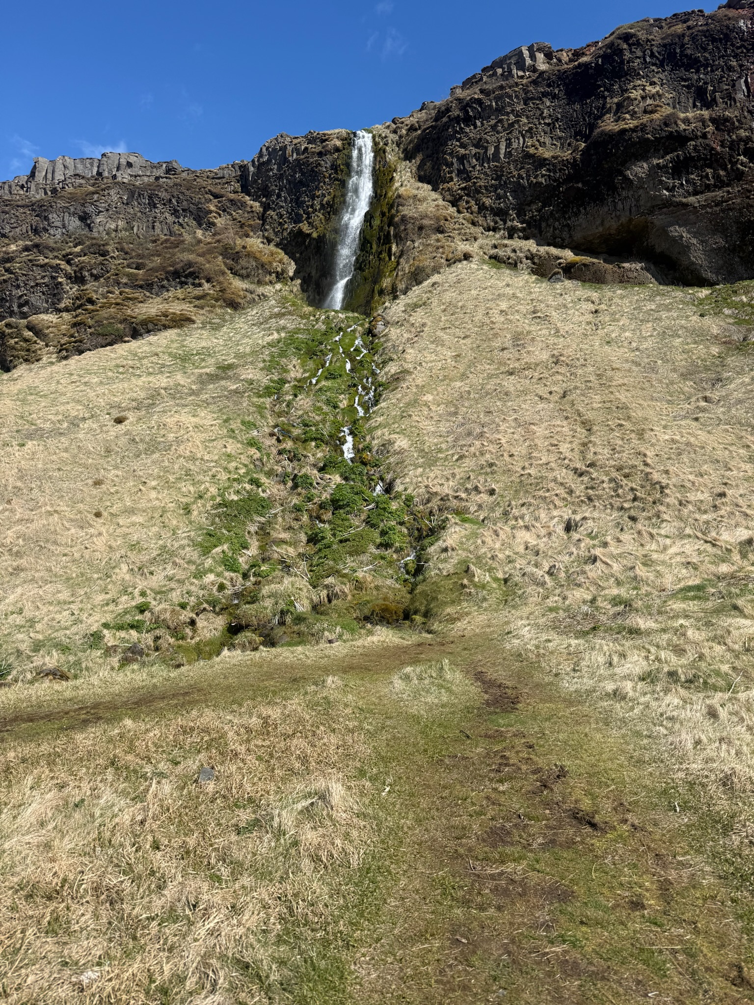
After following it for a ways as it meandered around the base of the rocks, we saw there was a fourth waterfall up ahead.
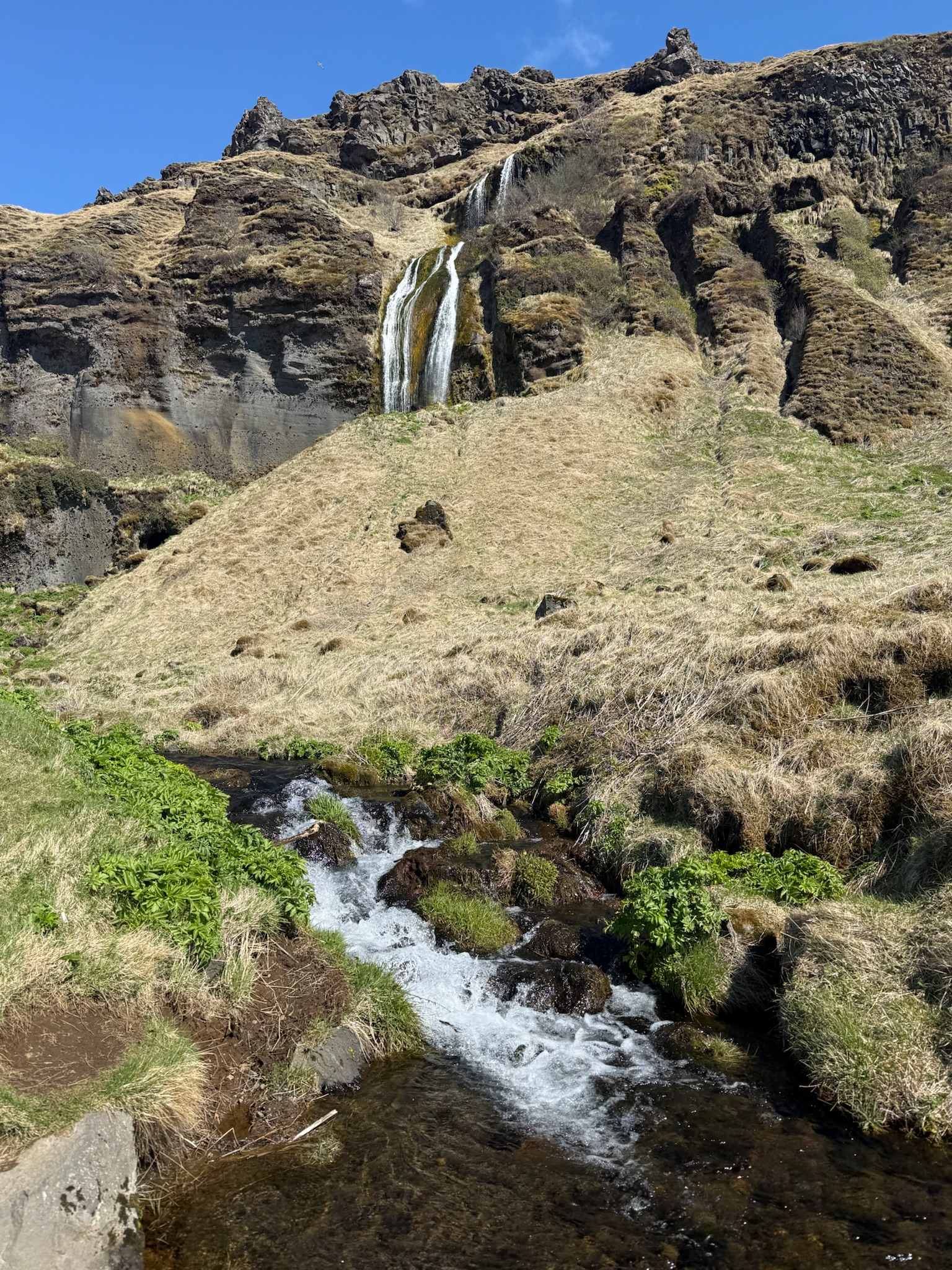
At first, it looked like there was no way to get close to this fall, either. Then we saw… to be continued…