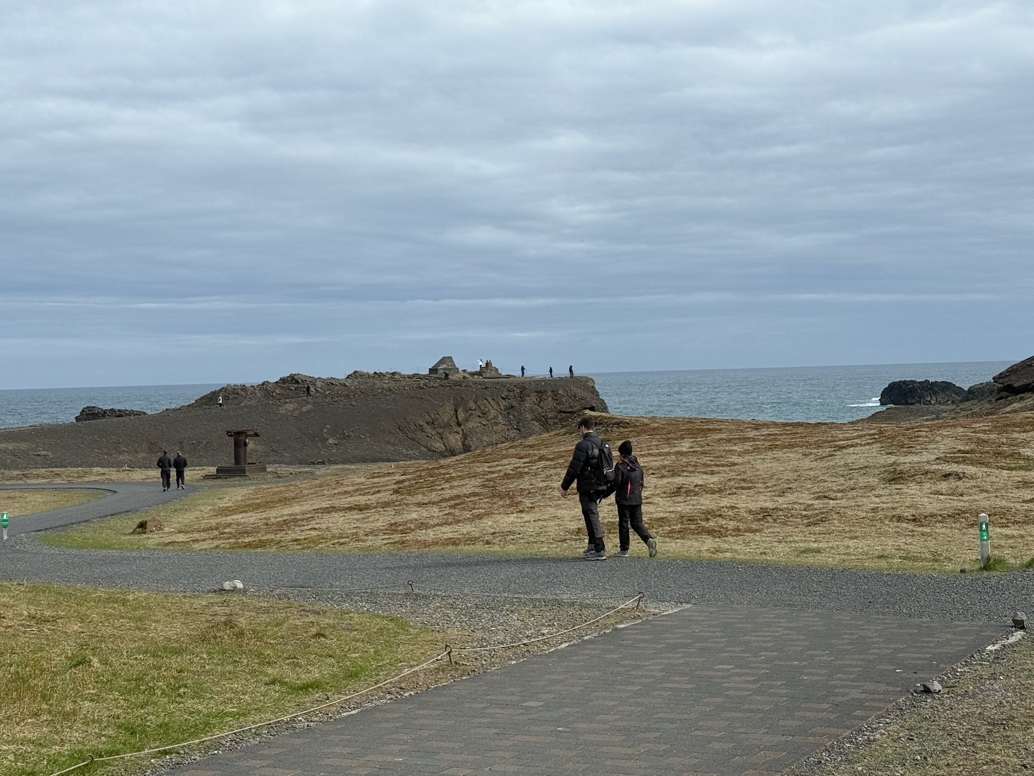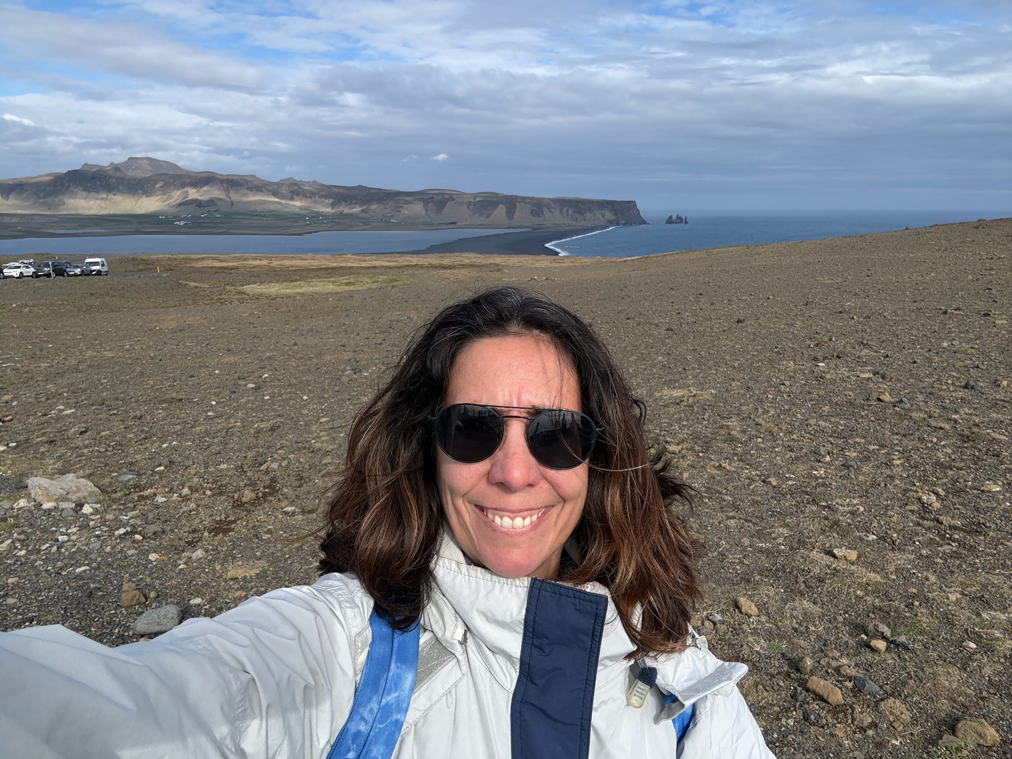
Hellnar and Londrangar Cliffs in the Snaefellsjokull National Park, Snæfellsás Peninsula, Iceland

continued… we headed to Snaefellsjokull National Park. It was a relatively short drive from the gorge. We didn’t have to turn off the road to enter into the park — we merely drove past a sign that said Welcome to the Park. Nor were there any fees to enter.

The Snaefellsjokull National Park was established in 2001. The Snaefellsjokull Glacier was the park’s centerpiece, and the 66 square miles (170 square kilometers) of the park surrounded the glacier and some of the nearby seashore. The glacier was situated on top of a 700,000-year-old stratovolcano, and together they were 4,744 feet (1,446 meters) tall. The mountain has been built up by repeated eruptions over roughly the last 800,000 years. It last erupted about 1,800 years ago and was still classed as an active volcano. Currently, the glacier covered around 10 km2.

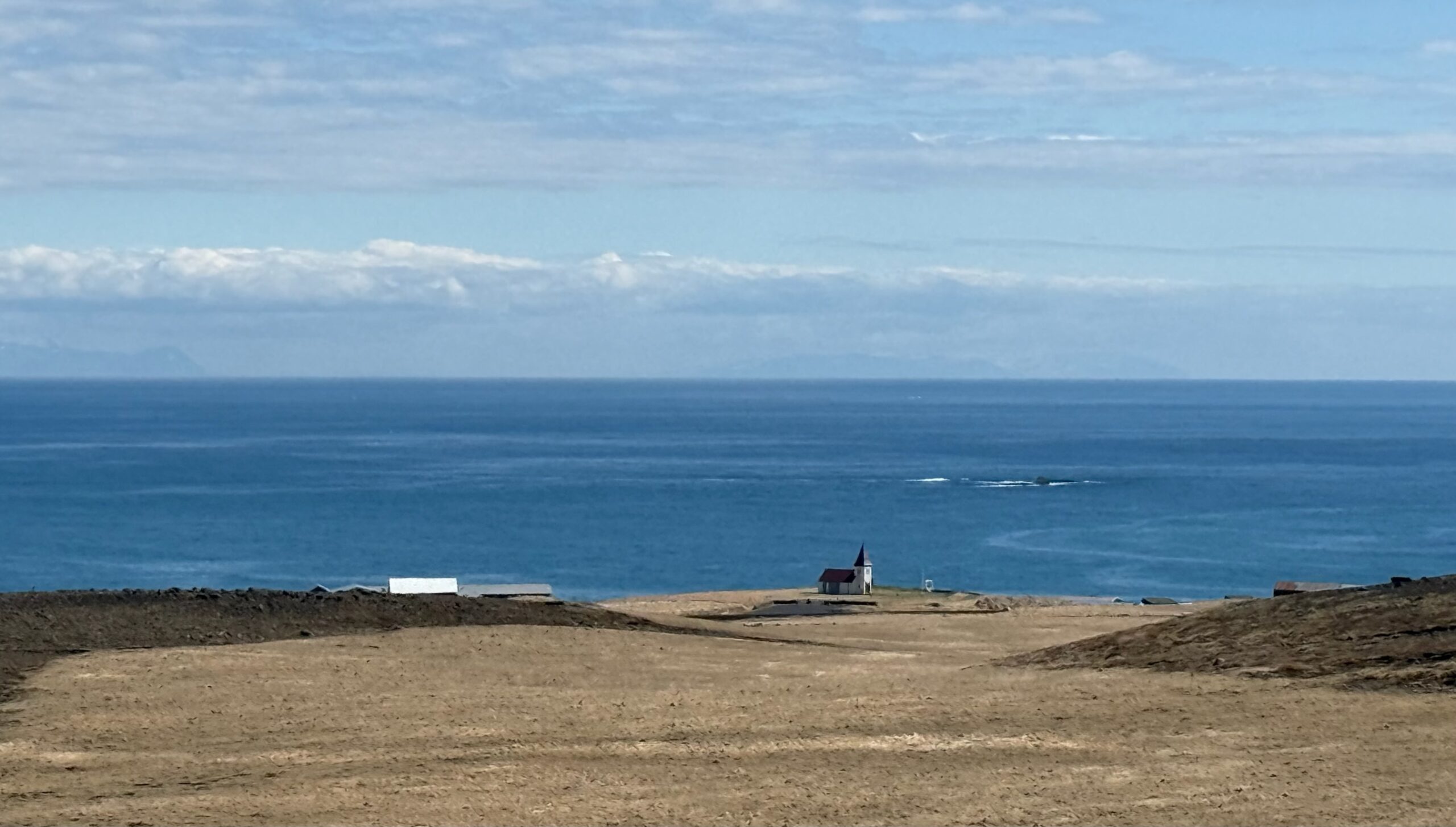
We did turn off the main road to drive to a viewpoint in a small village along the waterfront called Hellnar. On the way, we stopped because we saw a couple of signs along the side of the road. We were glad we’d stopped, as this was also a lovely viewpoint. Looking towards the ocean and Hellnar.
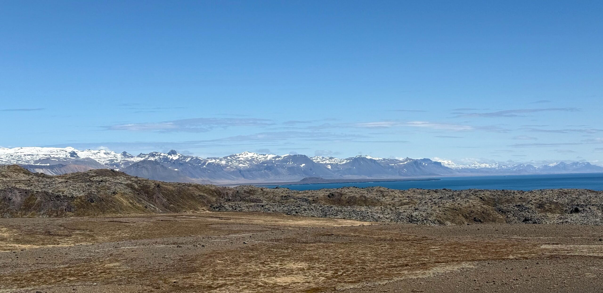
And looking up at the glacier.

Continue reading →
Raudfeldsgja Gorge in the Snæfellsás Peninsula, Iceland

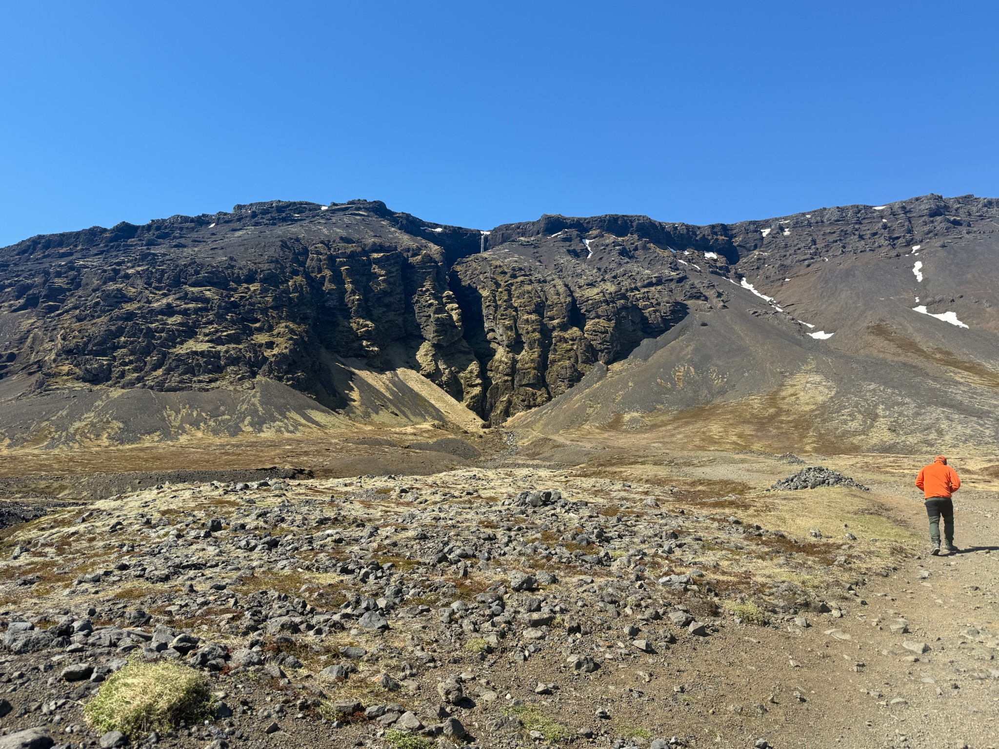
continued… We piled back in the car. It was a relatively short drive to our next stop, Raudfeldsgja Gorge. This was the view from the parking lot (and parking was free). It was hard to see in this photo, but if you look closely, you can see there was a waterfall flowing into the crack in the middle of the rock.

Per the sign, it was named after a character in a traditional folklore story. According to the legend, Raudfeldsgja pushed his cousin onto an iceberg and she floated to Greenland. Her father and his uncle, Bárður Snæfellsás (who was believed to be half-man, half-troll), murdered him here in retaliation. We were noticing a pattern that Iceland’s culture was kind of dark.

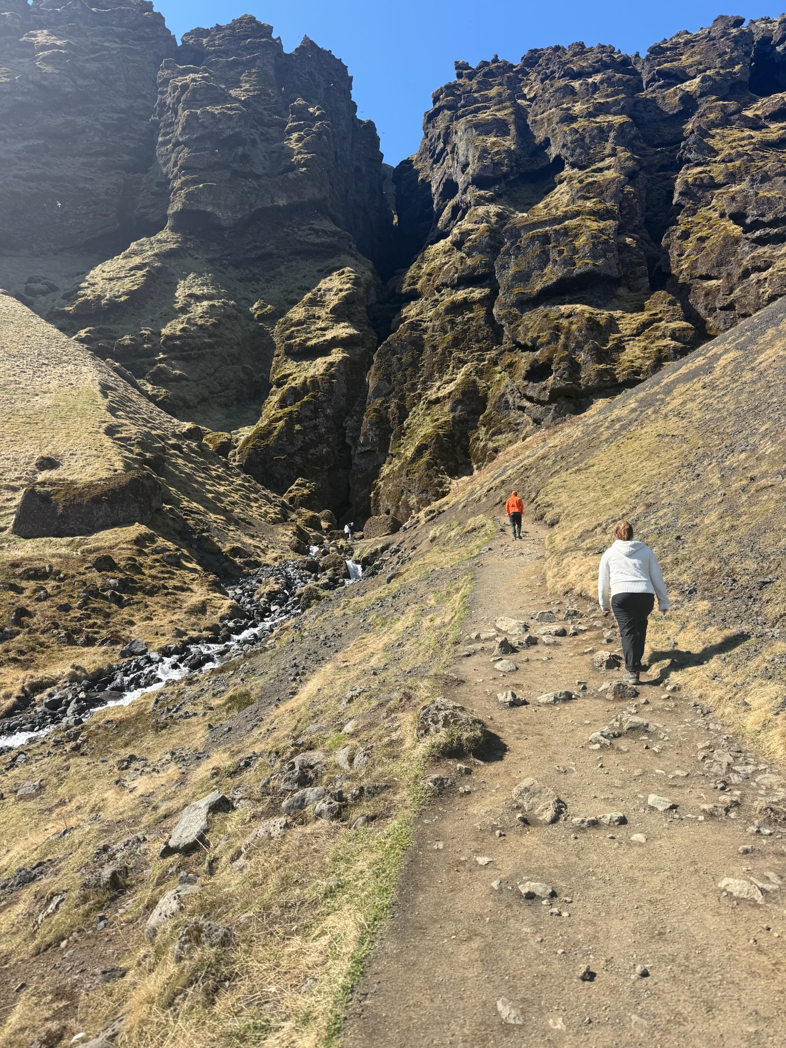
Anyway, the gorge appeared to be another hawng, like Gljufrabui at the Secret Waterfall. Neither Keith nor Eric wanted to hike up to see the waterfall, but Christi was excited to go. This was the path up. You can see the stream made by the waterfall runoff to the left.

Entrance into the hawng.

Continue reading →

Dyrhólaey Natural Reserve and the Drive Back to Reykjavík, Iceland

continued… We walked down the path towards the ocean.

According to the sign, Dyrhólaey was believed to have formed 80,000 years ago in a submarine eruption, and was originally a separate island. Over the millennia, the sea level has reduced. The lowering sea level exposed the land between the Dyrhólaey and the main land, so now it was a promontory (we had to look that word up, too. It meant a high ridge of land or rock jutting out into a body of water). It was 120-meters tall. Here was a shot of the ridge of silt built up in the water. Note the line of cars on the left that were waiting for someone to leave so they could enter the parking lot.

Continue reading →

The Secret Waterfall Part 2 and The Drive to Dyrhólaey, Iceland

Monday, May 18 continued… At first, it looked like there was no way to get close to this fall, either. As the path wound around, we saw the waterfall through a crack in the cliff face.

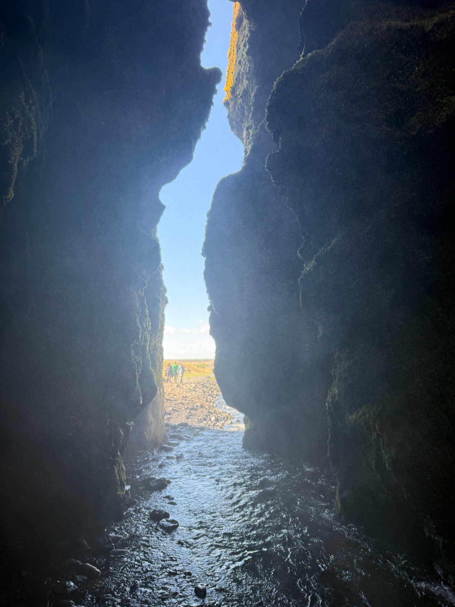
We noticed people were walking into the crack, despite the fact that the ground was covered in water. So we followed. While there were deeper spots where one would get their ankles wet, most of the water was so shallow that it barely covered the ground — but we did have to watch where we stepped. Sadly, Christi did make one misstep and one of her feet was drenched. Here was a shot looking back at the path from inside.

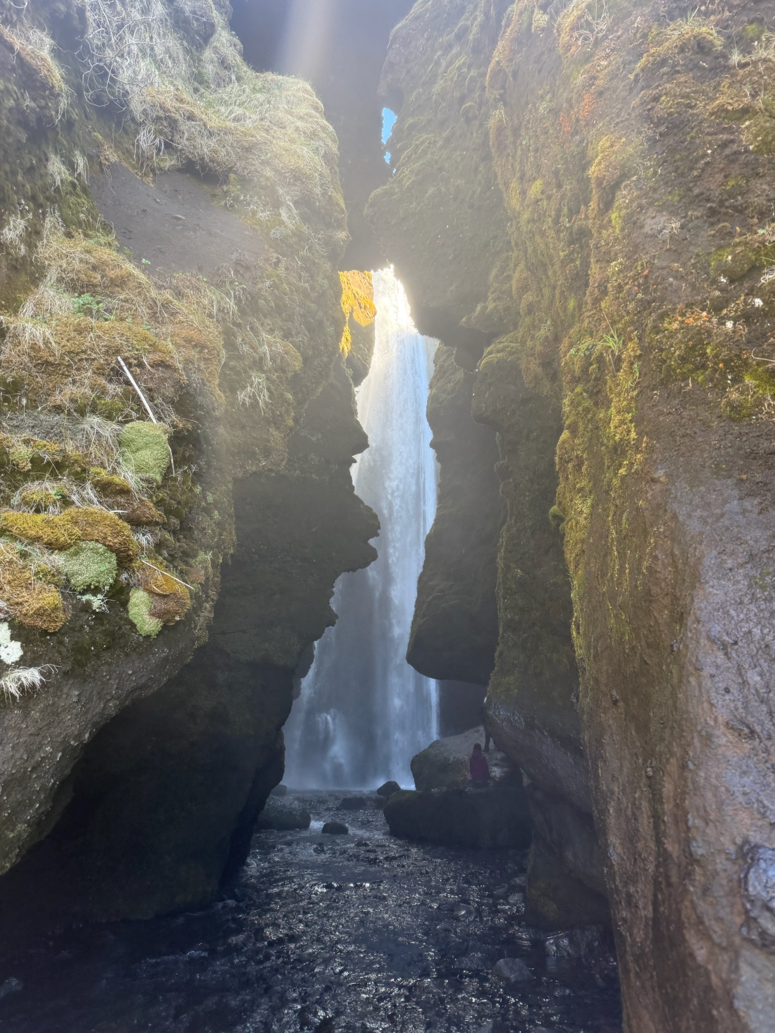
We found ourselves in a little cave, of sorts. A hawng was actually a more accurate description. We were surprised to see that the waterfall dropped into a gap in the top of the rock at the back of the cave.

Continue reading →

The Caves of Hella Part 2, Lunch at a Gas Station, and The Secret Waterfall Part 1

Continued… We continued across the field to the fourth cave.

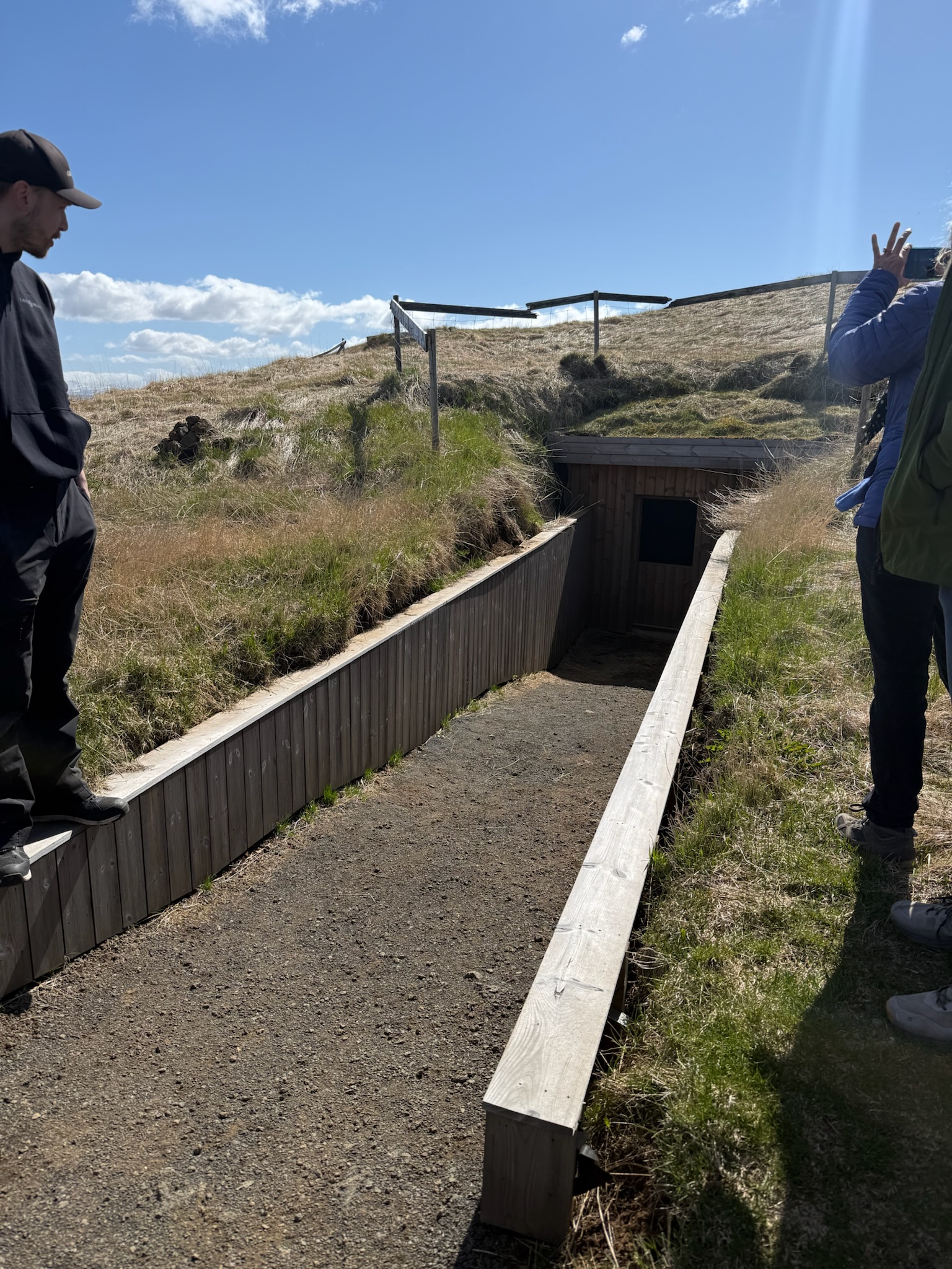
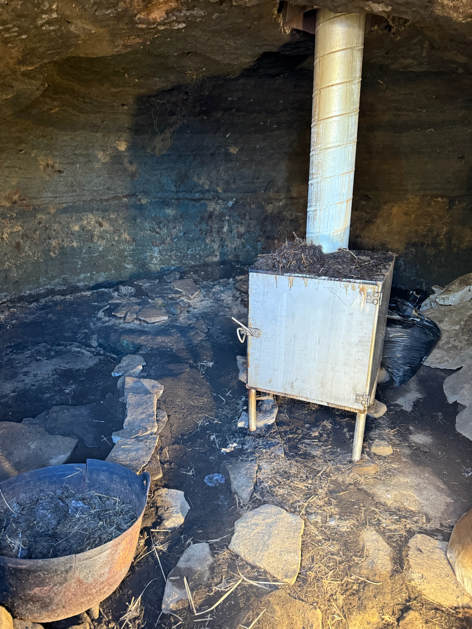
This one was currently used as a smokehouse. It had previously been used as a smokehouse, but they’d stopped — we didn’t remember why. The government approved it being used as a smokehouse again, but they couldn’t have open fire. So they got a contained smoker that ran on sheep poop. He made a lot of jokes about that. They grew their own meat and smoked it here, and it was available for sale in the little store where we’d purchased our tickets.

Continue reading →