Friday, May 15 continued… The Golden Circle was the most popular tour in Iceland, and these two busses were a private tour group only for the partners/families of the conference attendees. Keith was hoping there would be other teens aboard that he could hang out with, but the person closest in age was 20. And we knew that because he’d shared his age while telling us that he was overjoyed that he could legally drink alcohol here in Iceland (he was American, and in the US, the legal drinking age was 21).
As we left the city, the bus driver said that Reykjavík was originally a small fishing village surrounded by potato farms until 1940. In the midst of World War II, then British established a military base. A year later, the US took control of the base and operated it until 2006. Reykjavík grew up around the base to service the military staff. He told us a lot more about the history of Iceland, as well, but we didn’t remember the other details. He made a lot of jokes and was hilariously funny, so it was a fun ride.
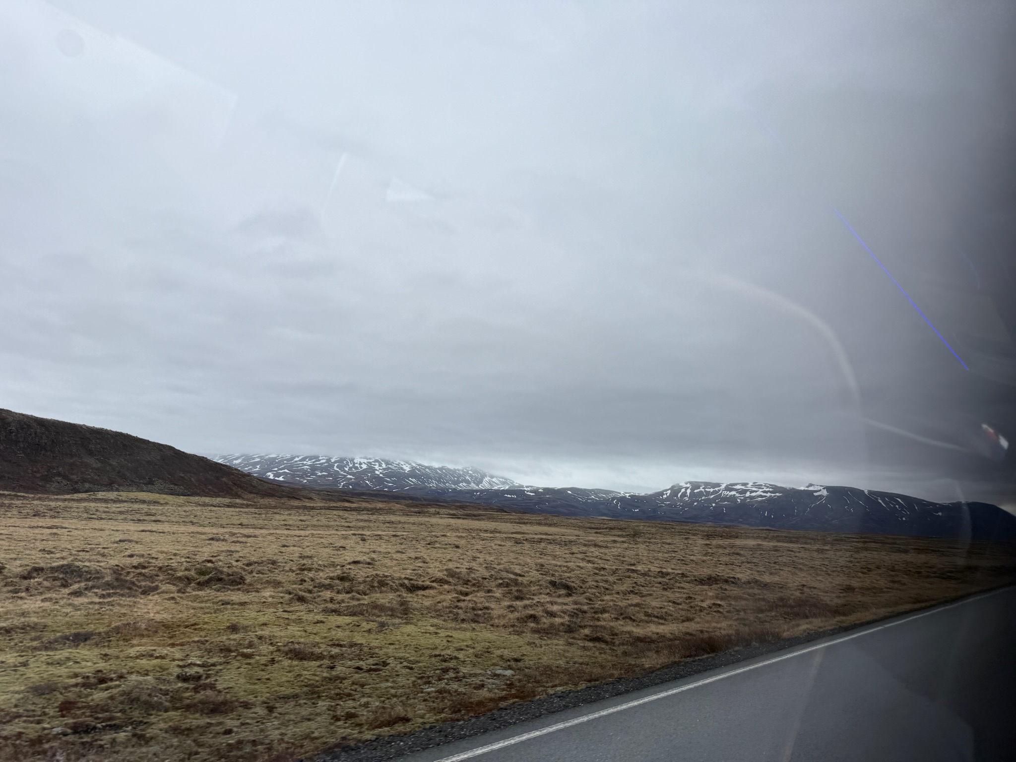
The scenery looked like this for the majority of the drive. It was probably really green later in the spring and in the summer, but now the grass was just beginning to come back to life from winter dormancy.
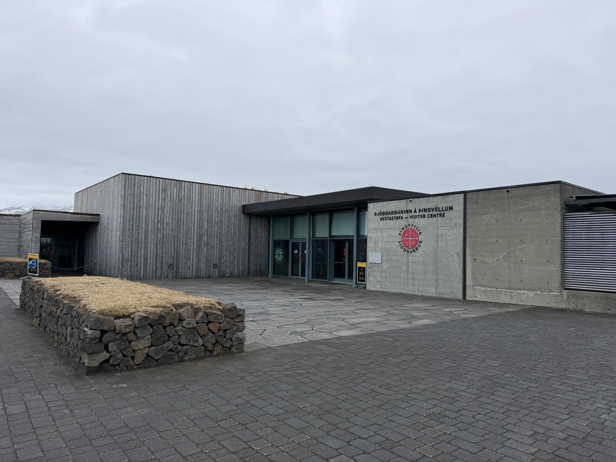
Our first stop was the Visitor’s Center in the Thingvellir National Park.
We marched off the bus and followed our tour guide over to a spot with a view of a lake below. The lake was a glacial melt lake and very cold, 2-degrees Celsius. It sounded like people periodically tried to swim it and they all died of hypothermia.
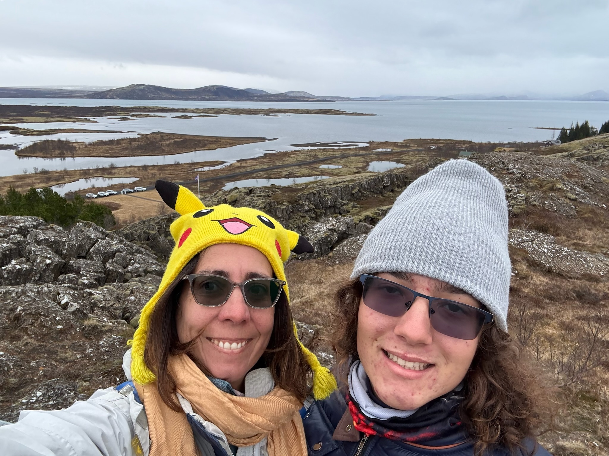
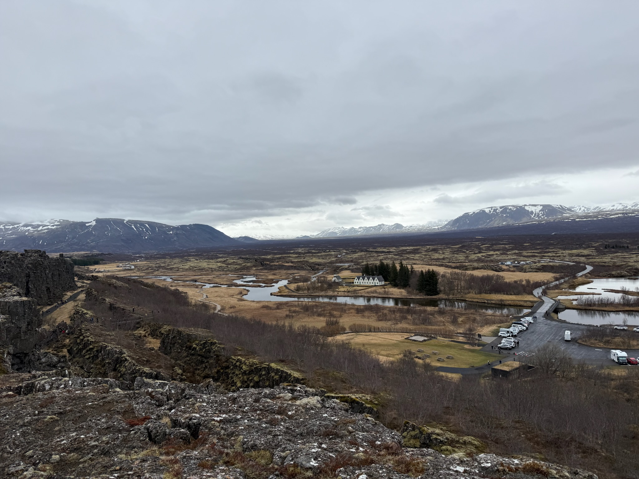
This was looking at the valley beyond the lake. The guide said there were a lot of hiking trails down there.
Then we walked a few steps from the viewpoint to the top of a sloped wooden walkway.
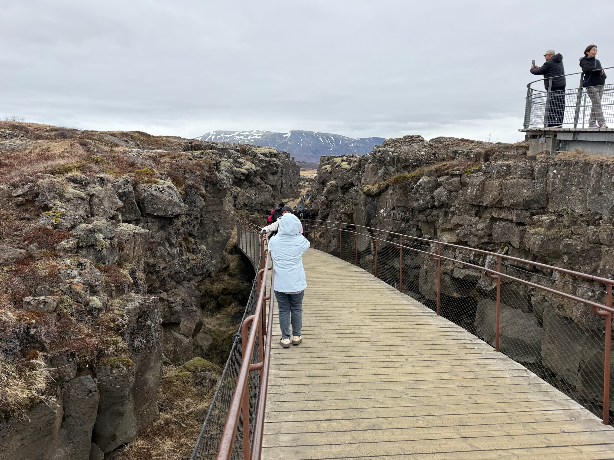
The guide had already explained this general area was part of the Mid-Atlantic Ridge. There used to be a road where this walkway was now. The road was completed in 1907 and closed to vehicle traffic in 1967, but it was still maintained as a walkway for park patrons. In 2011, a giant hole appeared in the walkway/road. After close investigation, they realized it was on a fault. They decided to put a wooden footbridge over the rift. After the explanation, the guide said we had a few minutes to explore on our own before we needed to report back to the bus. We walked down the slope.
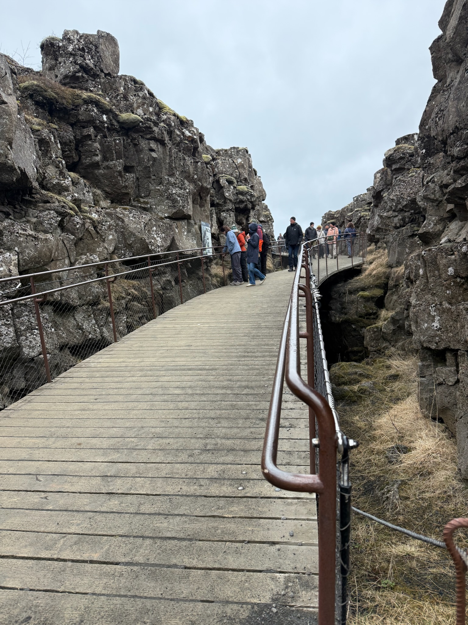
This was a shot looking back up towards the top of the slope. It must have been a steep road! And then looking the other direction at the part of the walkway/road that was still intact. We felt like we were on part of Interstate 8 where it transitioned between the San Diego Mountains (Julian) and the desert to the east of the mountains.
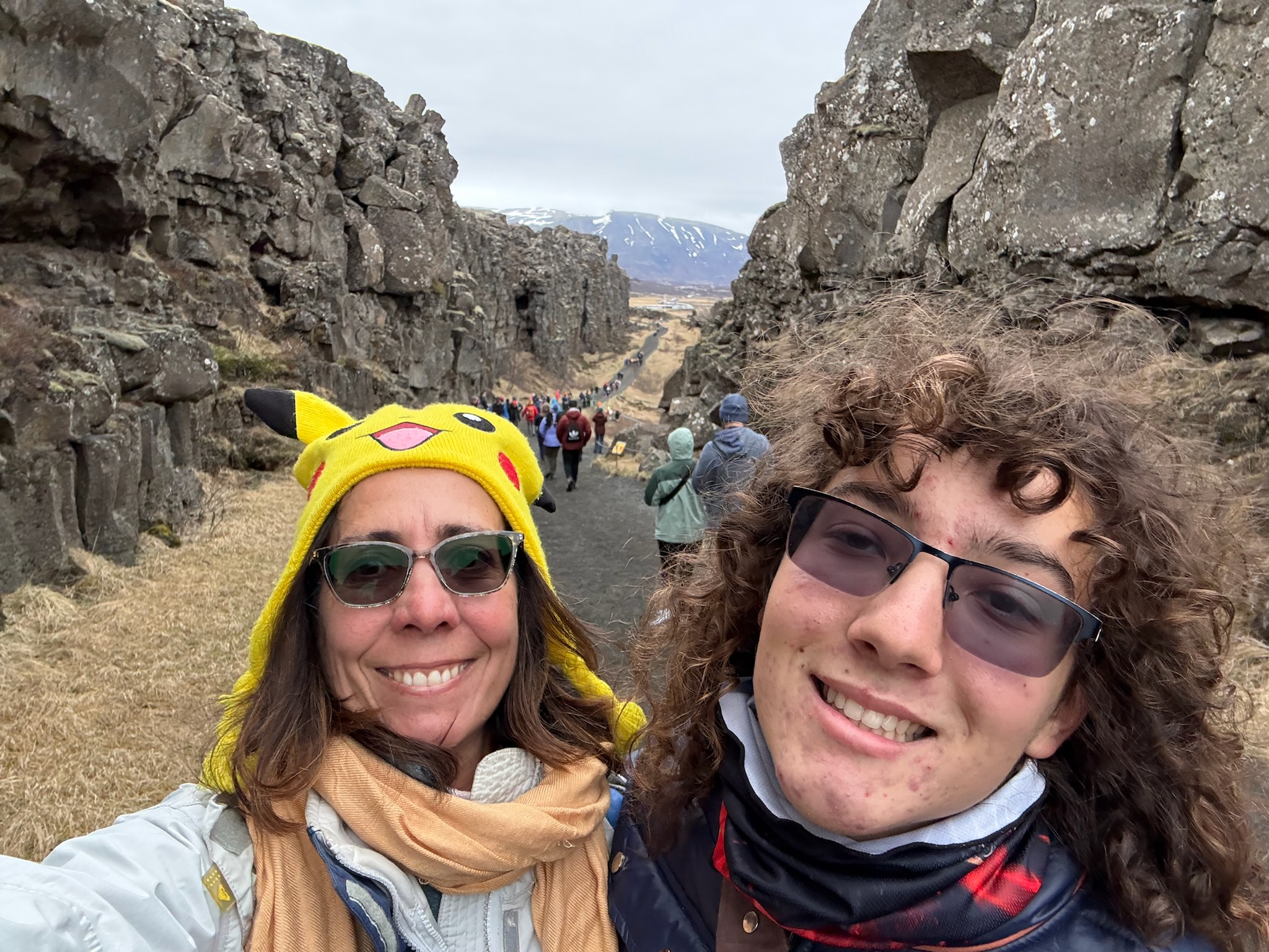
We climbed a staircase up to another viewpoint. Looking at the valley below. The view was beautiful today — we imagine it was probably stunning when the foliage was green, especially on a sunny day.
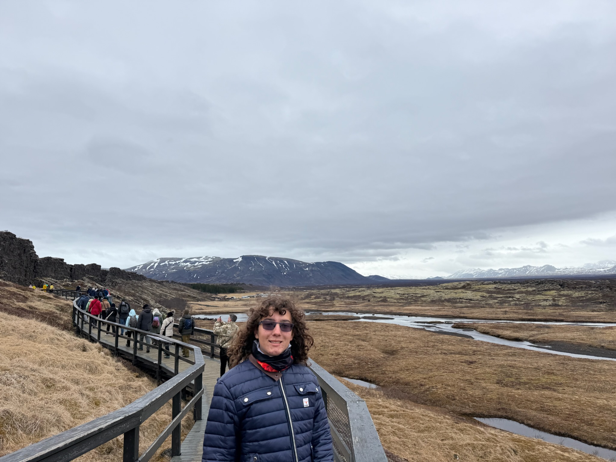
Looking back towards the lake.
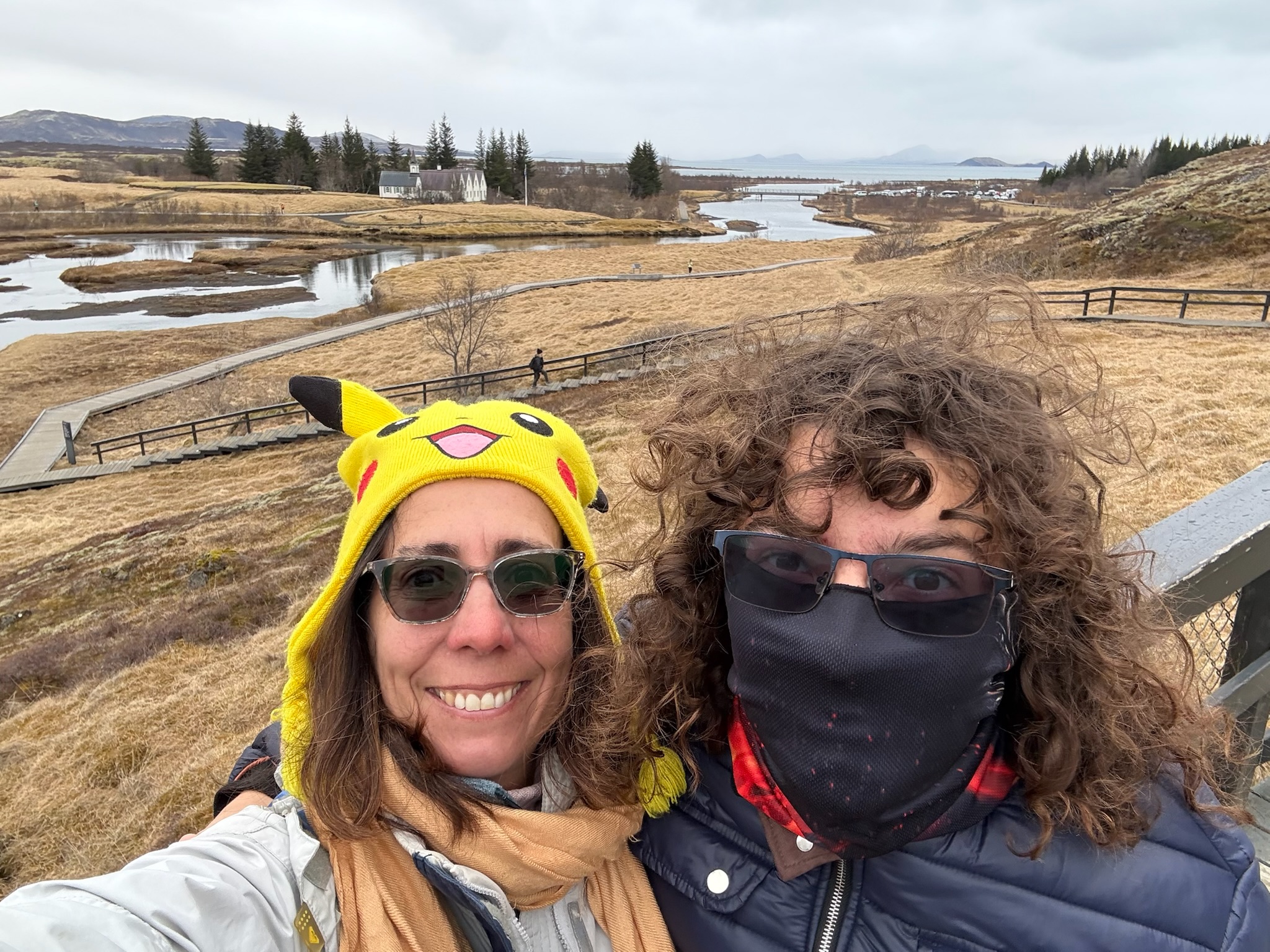
Looking back at the road/walkway.
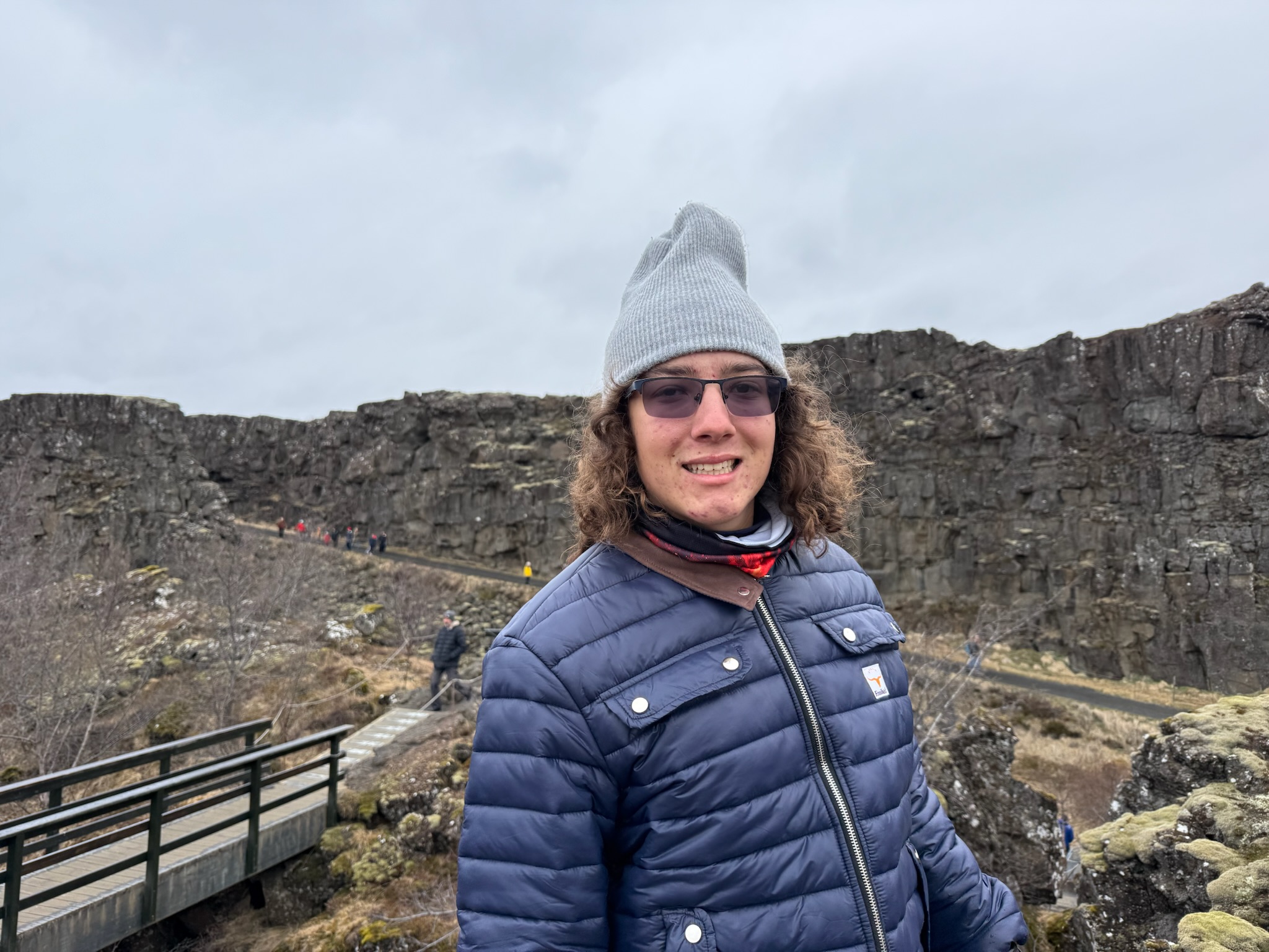
Shot of the stairs as we headed back down.
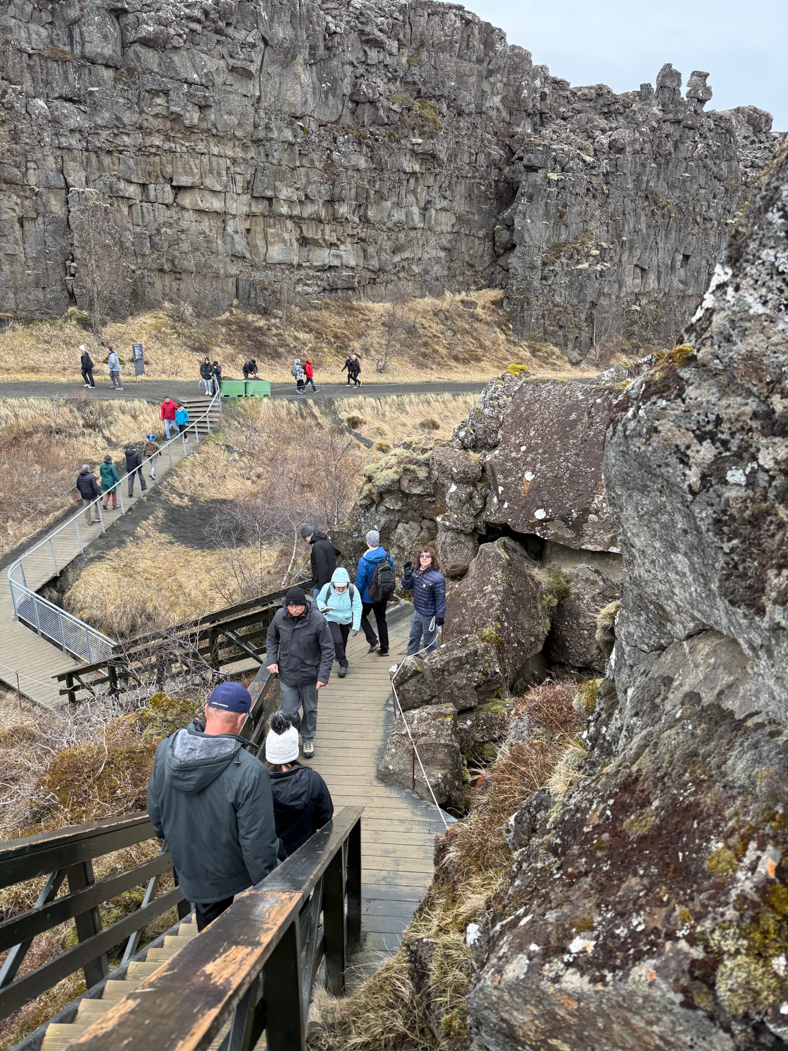
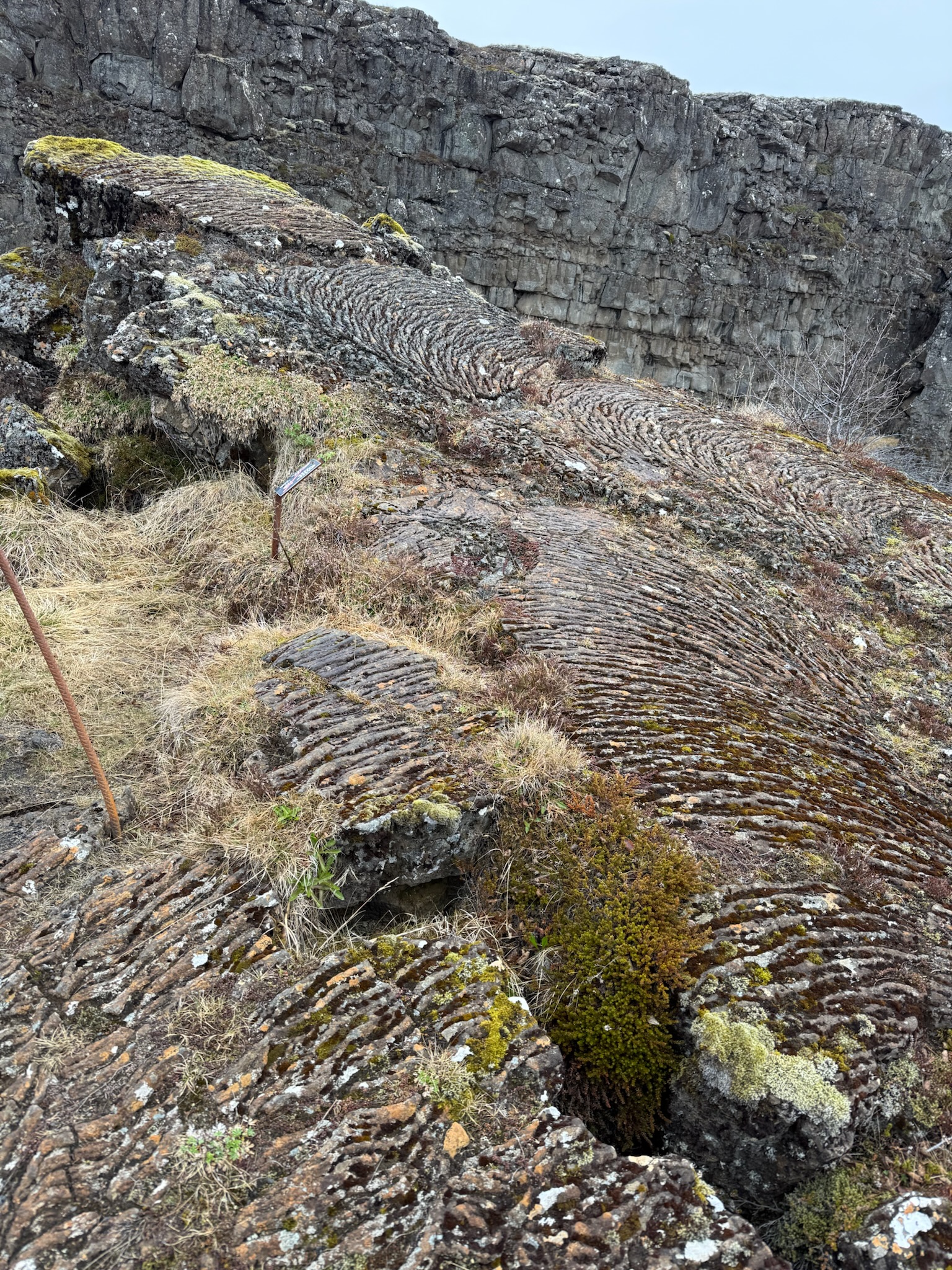
We got a good look at the lava rock near the staircase, which had a different surface pattern than most of the other rocks. In both the Perlan Museum and in the Lava Show, we’d learned this kind of formation was called Pahoehoe, where the lava was relatively smooth and flowed easily. It made a pattern that looked like a series of ropes as it cooled.
The main trail continued looked like it led to a parking lot that probably had entrances to the hiking trails in the valley. Knowing we had to board the bus soon, we went back up to the Visitor’s Center. We stopped by the bathrooms, which were surprisingly clean and nice. We ventured into the Visitor’s Center. There was a museum and a gift shop/cafe. There was an entrance fee to go into the museum. We didn’t have enough time left to justify the cost. The place was packed with tourist groups.
Our group piled back into the In the buses at the appointed time… to be continued…