Golf Court Tour of Spanish Wells, Part 2

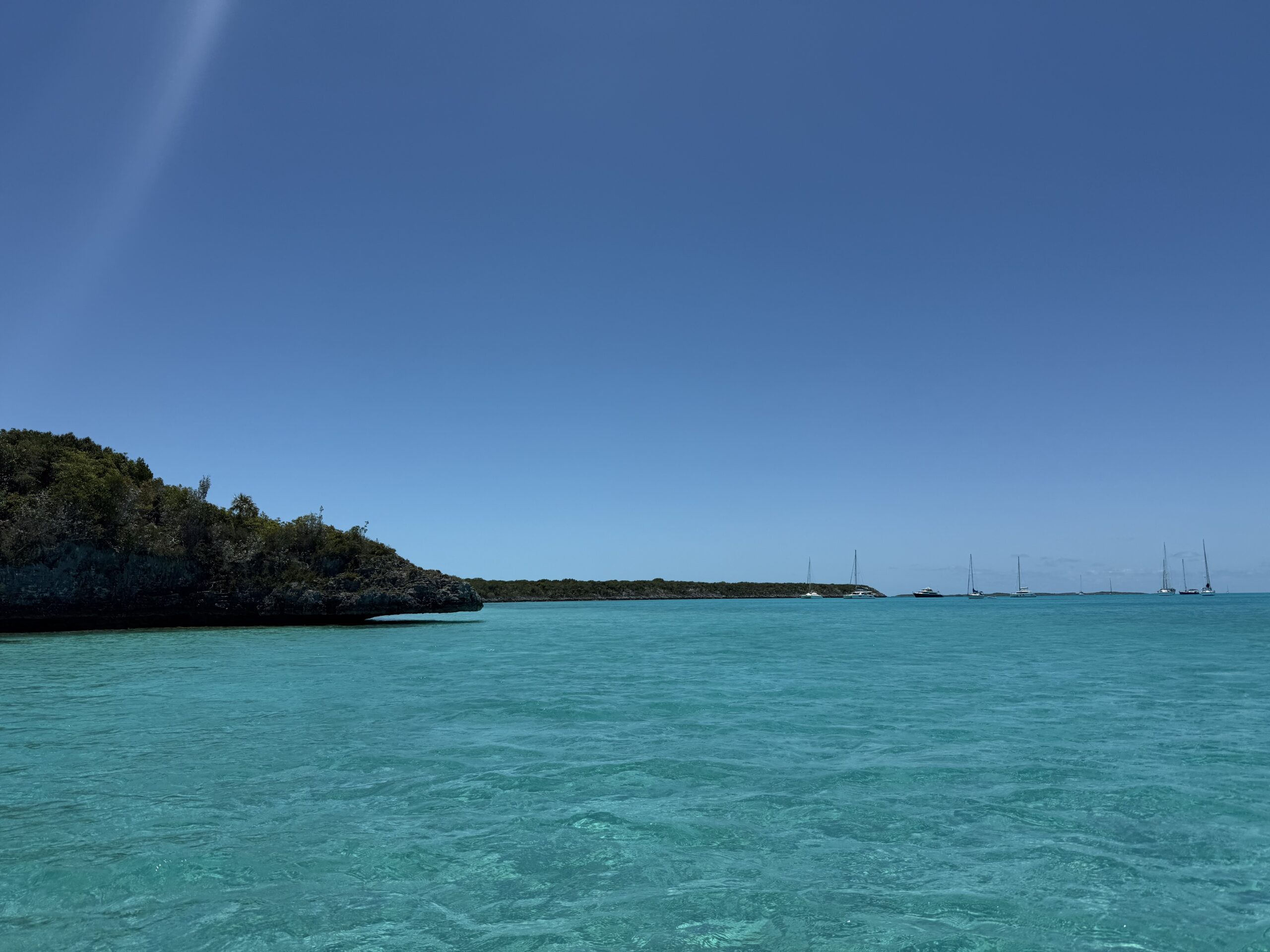
Continued... We crossed the bridge to Russell Island. Like Spanish Wells, Russell Island was also narrow and the main road ran through the center of the island. The road was at the top of the hill, and we caught glimpses of the stunning water on both sides as we drove along.

We drove to the end of the road. Later, we found out that there was a trail we could have taken down to a beach on the tip of the island. From what we saw, Russell Island appeared to be mostly residential, and the homes on Russell generally looked newer and bigger than most of the homes on St. George’s Cay. There was a lot of construction in progress. St. George’s Cay also had several homes under construction, too, but those looked to be renovations, whereas on Russell Island, they looked more like new builds.

Continue reading

Golf Court Tour of Spanish Wells, Part 1

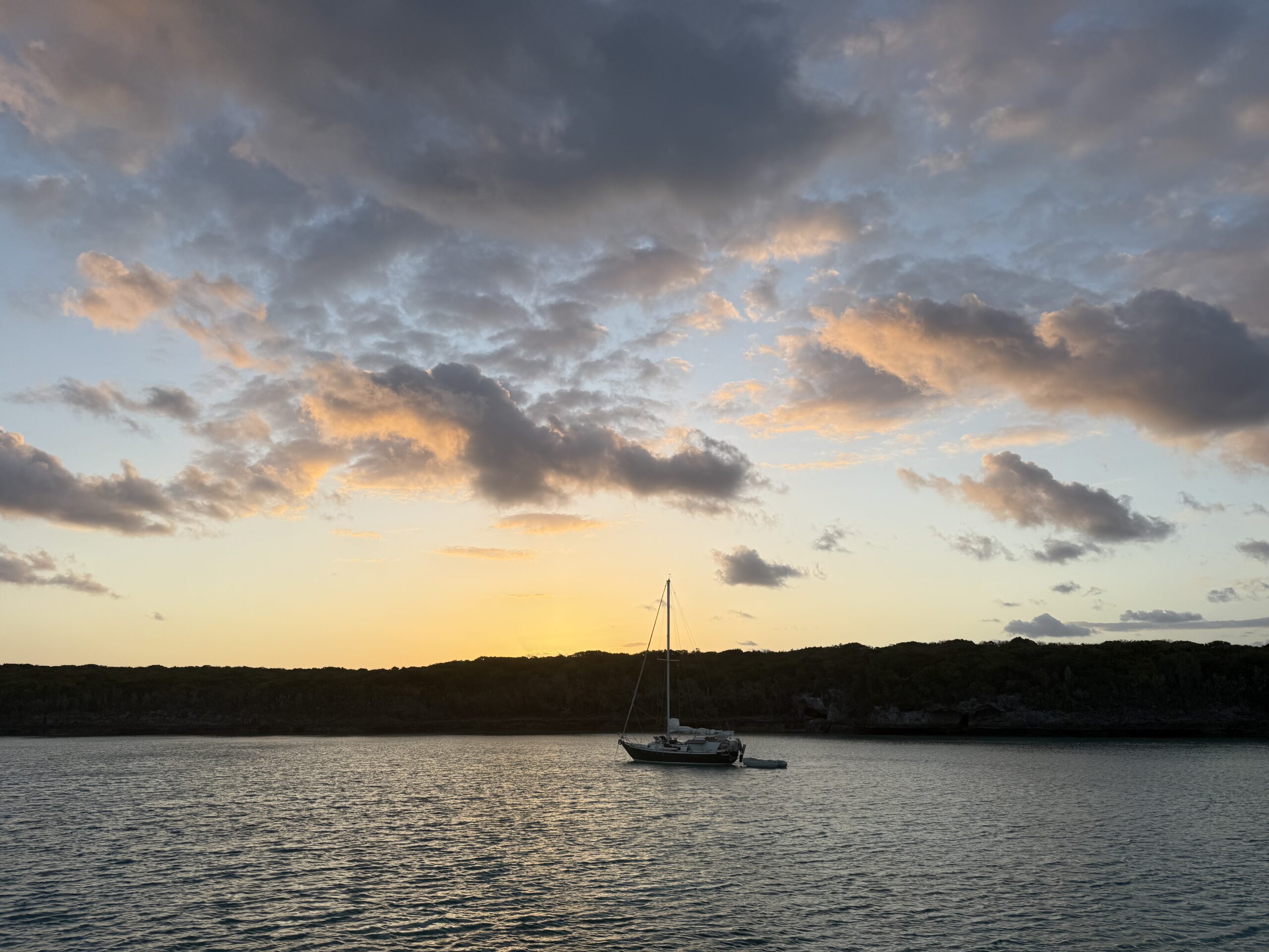
The moon was again shining brightly as dawn broke on Thursday, April 17, 2025

Sunrise

After doing a little research, we discovered that the island that we’d thought was called Spanish Wells was actually named St. George’s Cay. Originally “discovered” by Christopher Columbus, the trio of islands was given the name Spanish Wells because the Spanish sailing ships would stop there to resupply their water tanks on their way to Central/South America. While the Spaniards had claimed the Bahamian islands as their colony, they didn’t really utilize the land. However, the Spaniards enslaved the indigenous people and shipped them off to their other colonies, leaving the Bahamas uninhabited.

St. George’s Cay was only about 3.5 kilometers long and 800 meters wide, Russell Island was a little over 3 miles long, and together they had a population of about 1,600. As you may have noticed in yesterday’s photos, golf carts were more common than cars.

After we finished our morning school and chores, we dinghied back into town to rent a golf cart. This time, we went east in the channel. The east side was a lot more industrial/commercial than the west side. On the west side, it was mostly pleasure crafts; on the east side, there were more industrial fishing boats. We later found out that Spanish Wells was the fishing capital of the Bahamas, the largest supplier of lobster in the Caribbean, and the only location in warm water to have a certification for sustainable lobstering practices. The fishing industry was the primary source of revenue for this island.

Continue reading

Welcome to Spanish Wells, Bahamas

The 2/3 full moon was shining brightly pre-dawn on Wednesday, April 16

Sunrise

The wind would be shifting later today, so we’d need to move north to Russell Island when it did. But since it was only a 20-minute ride, we decided to stay put for as long as was comfortable.

One of the boats that we’d visited with yesterday had kids close in age to Keith. Their boy had come to one of the D & D sessions in George Town. Yesterday, they’d offered to have the kids over to swim by their boat. Eric had also offered to host a D & D session at Kosmos. So this morning, all the kids that play D & D came over and played. Afterwards, they all went over to the other boat to play on the swim toys.

Much to our surprise, two other boats with kids that they were friendly with had anchored near them, with their sterns forming a triangle. The water toys had been deployed in the triangle. They had also run a zip line between two of the boats. The other families that we were friends with had also been invited. Between the seven boats, there were a lot of kids. And they all had a blast playing together.

Continue reading

Welcome to Meeks Island, Bahamas

On Tuesday, April 15, we got up at 0545 to do the last minute things to get ready to go. We pulled up anchor at 0620. The sunrise was completely blocked by the thick cloud cover, but the moon did peek out between the clouds at one point. 

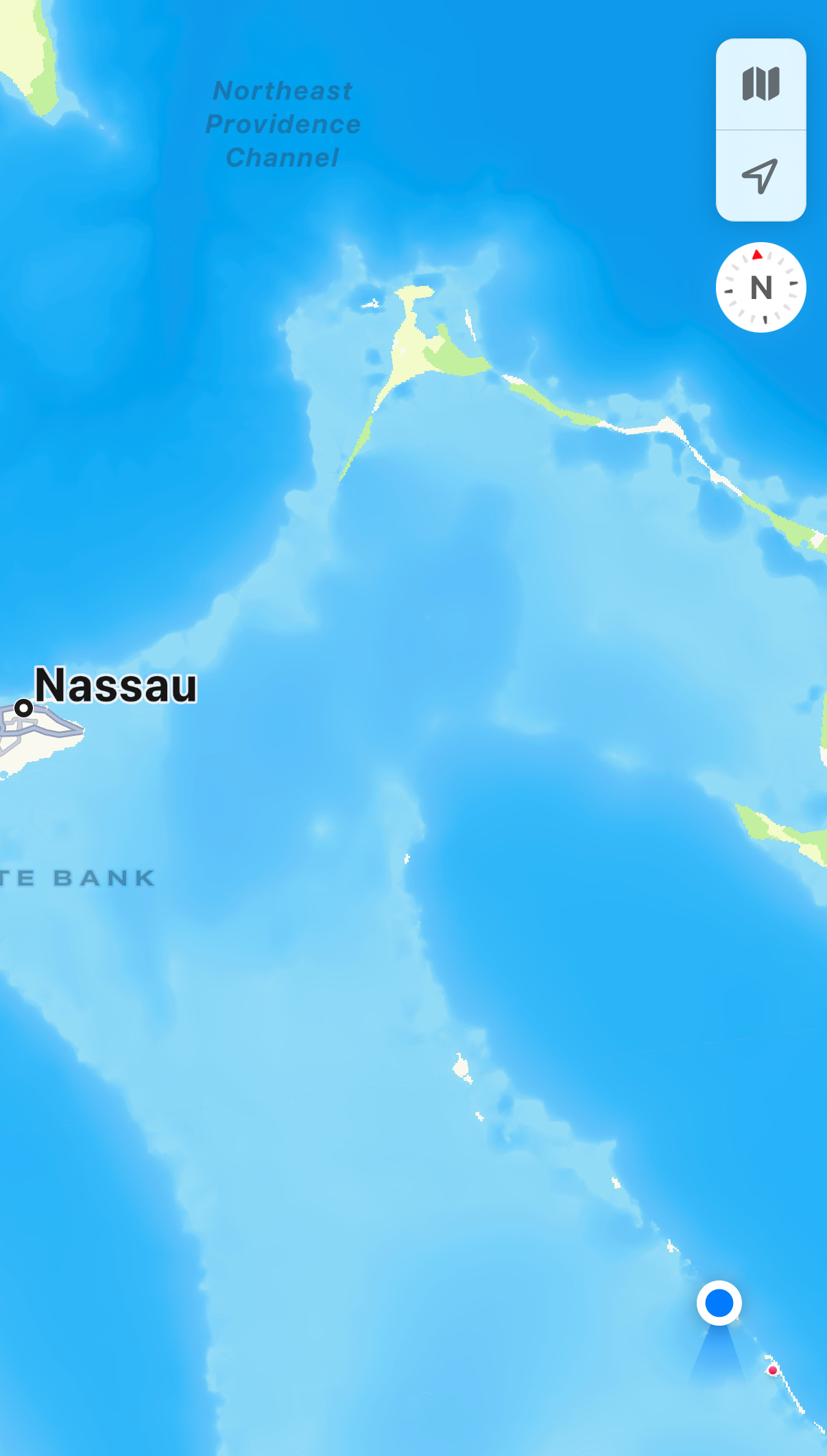
In the map below, where we left from, Governor’s Harbour, is marked to the right. Our final destination was the dot up at top left corner. The arrow points to The Cut, the narrow channel that we needed to pass through at higher tide.

Since we were in protected waters, it was a calm ride. We approached The Cut at about 1100. While The Cut itself was fairly deep, the channel leading up to it was only eight feet deep at high tide and quite narrow, necessitating that we go through the channel single file. Outside the channel, it was only 3 – 4 feet deep, so we had to keep a sharp eye on the charts to make sure we were staying in the channel or else we’d be grounded. There were four boats on our side (going east to west) that were all approaching the channel. We coordinated over the radio the order that we would line up in. We were third.  

Continue reading

Dinner at the French Leave in Governor’s Harbour, Eleuthera, Bahamas

continued from yesterday... Kosmos hadn’t drifted at all, so we decided it was safe to leave her. We got ourselves cleaned up and headed to the nearby resort, called the French Leave, for an early dinner.

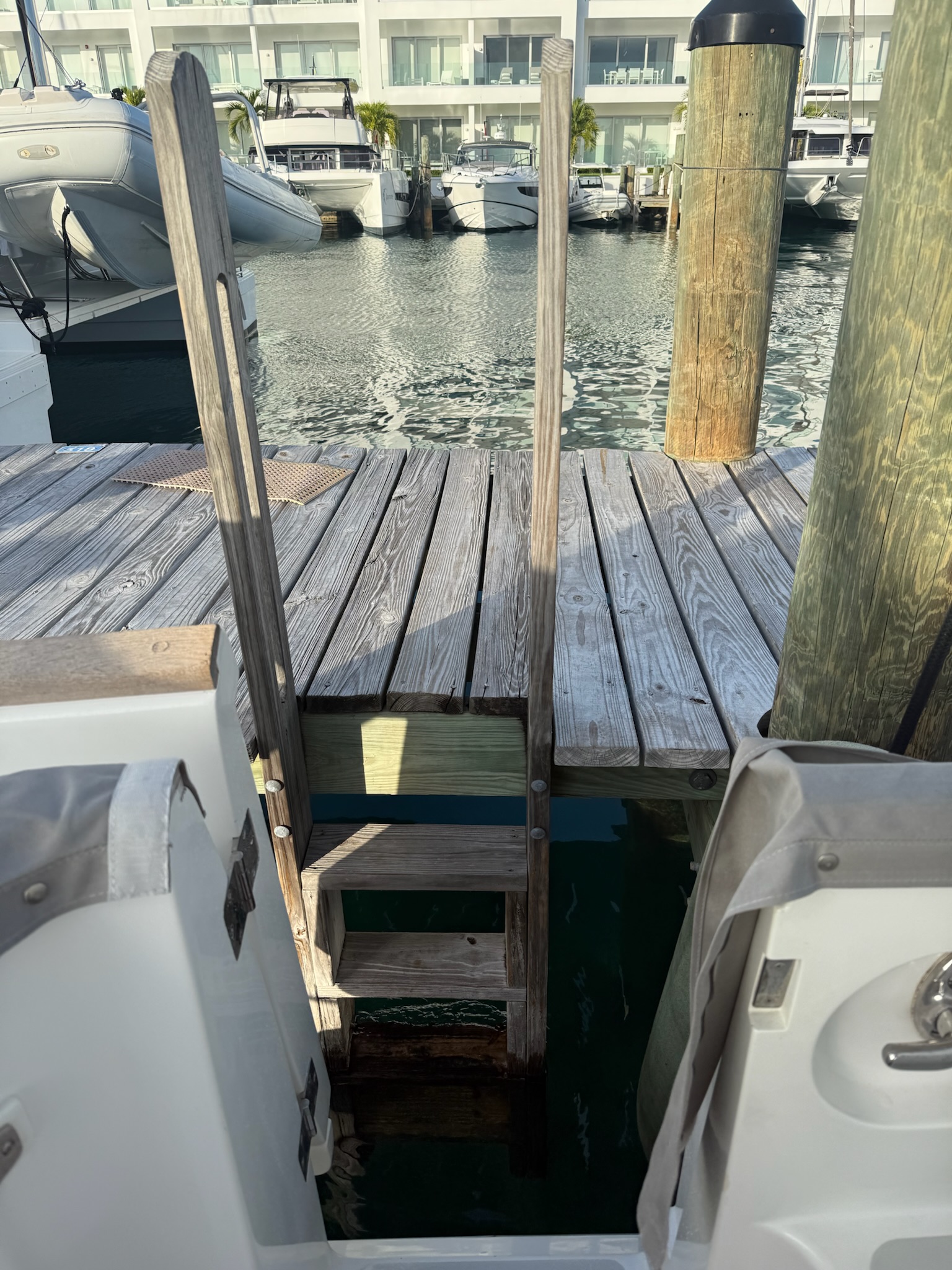
We picked it because of they had a dinghy dock (pictured above). We’d been warned that the beach landings here were problematic. This dock wasn’t exactly easy, either. The ladder wasn’t at the dock, which meant we had to unload at the ladder and manually pull Kosmopolitan over to the dock. There were several obstacles, making it a bit challenging.

The marina was the dock to the right
Continue reading