Saturday, October 1
In 2009, when we were in Dominica, our smoke stack fell over. The stack had bent a little bit at an outdoor connection of the smoke stack causing a small exhaust leak. Unfortunately, none of the repairs that Eric has made have held long-term; all of them have failed sooner or later. The trouble is the sealant eventually goes bad. We forgot to mention this, but a few days ago, when we were in Don Juan, he’d noticed that the leak was back. He was frustrated; he’d been sure that the last repair he’d done would last longer.
This morning, Eric repaired exhaust leak first thing. He tried a new sealant, and hopefully this fix will last a good amount of time. After that, he got everything out that he’d need to do an engine oil change so that he could do the change first thing tomorrow the morning, before it got hot. It actually takes longer to get everything out and ready than it does to actually change the oil.
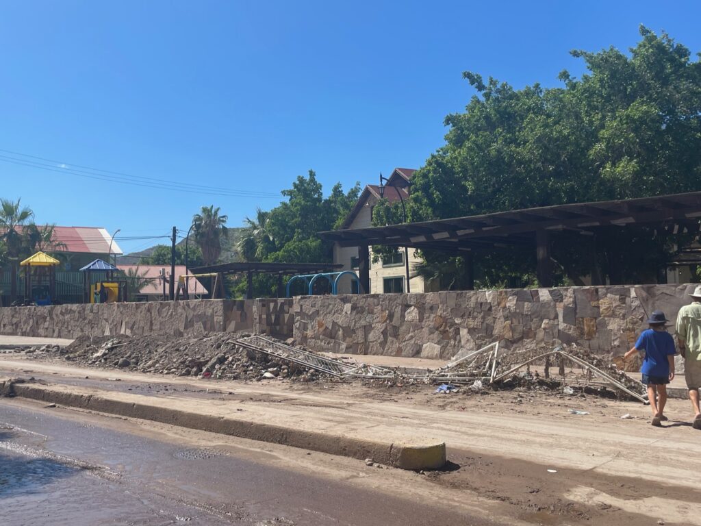
In the afternoon, we decided to get lunch at Los Compadres. From the roundabout, we took the other road inland, passing many more piles of mud.
