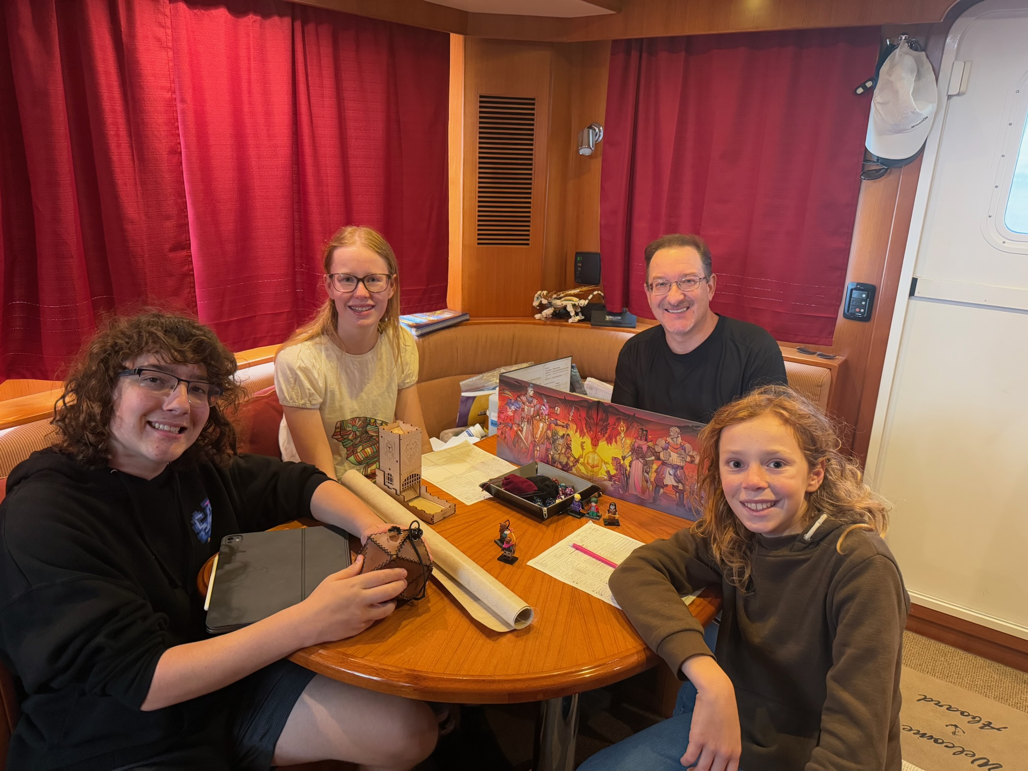
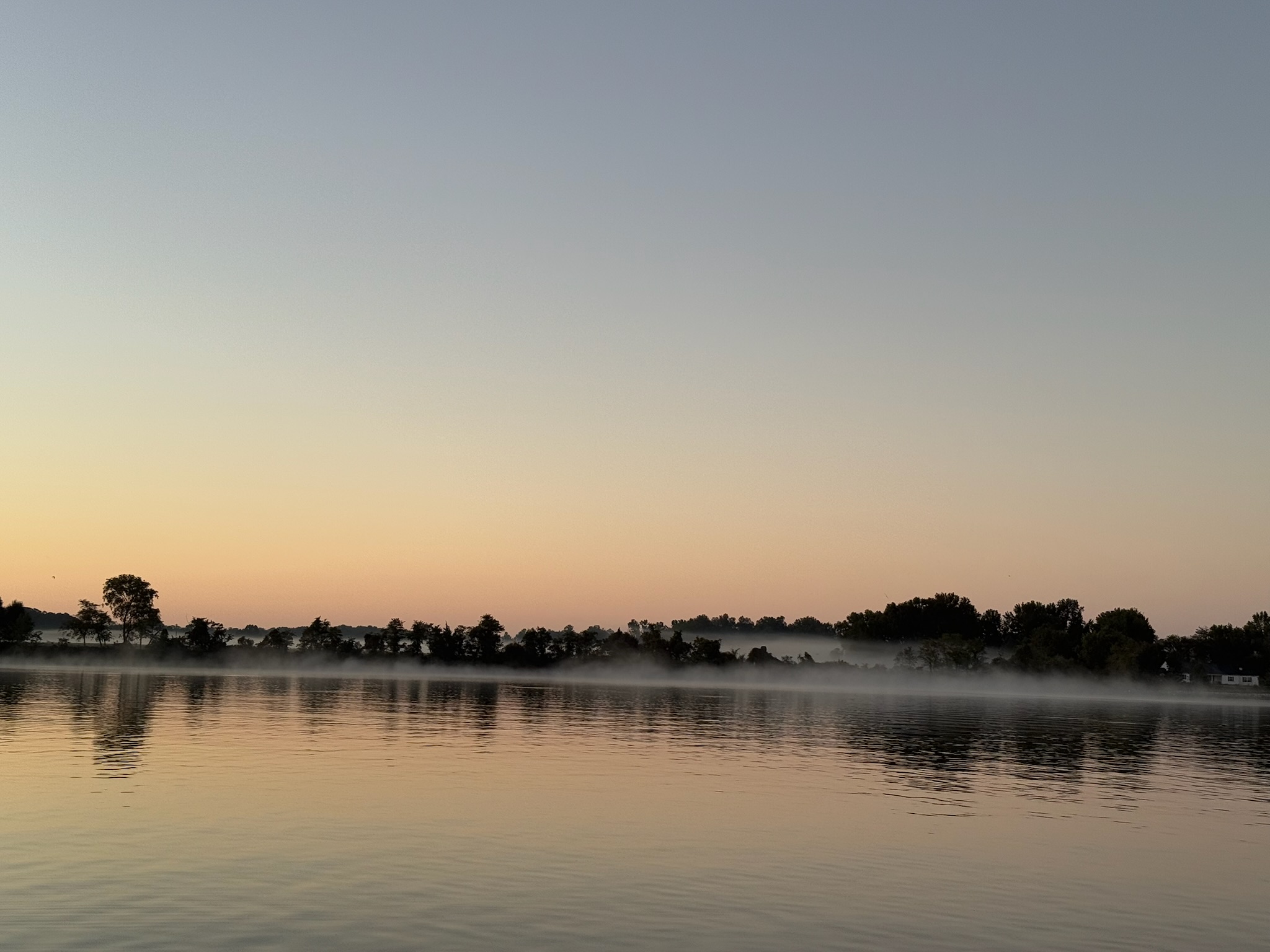
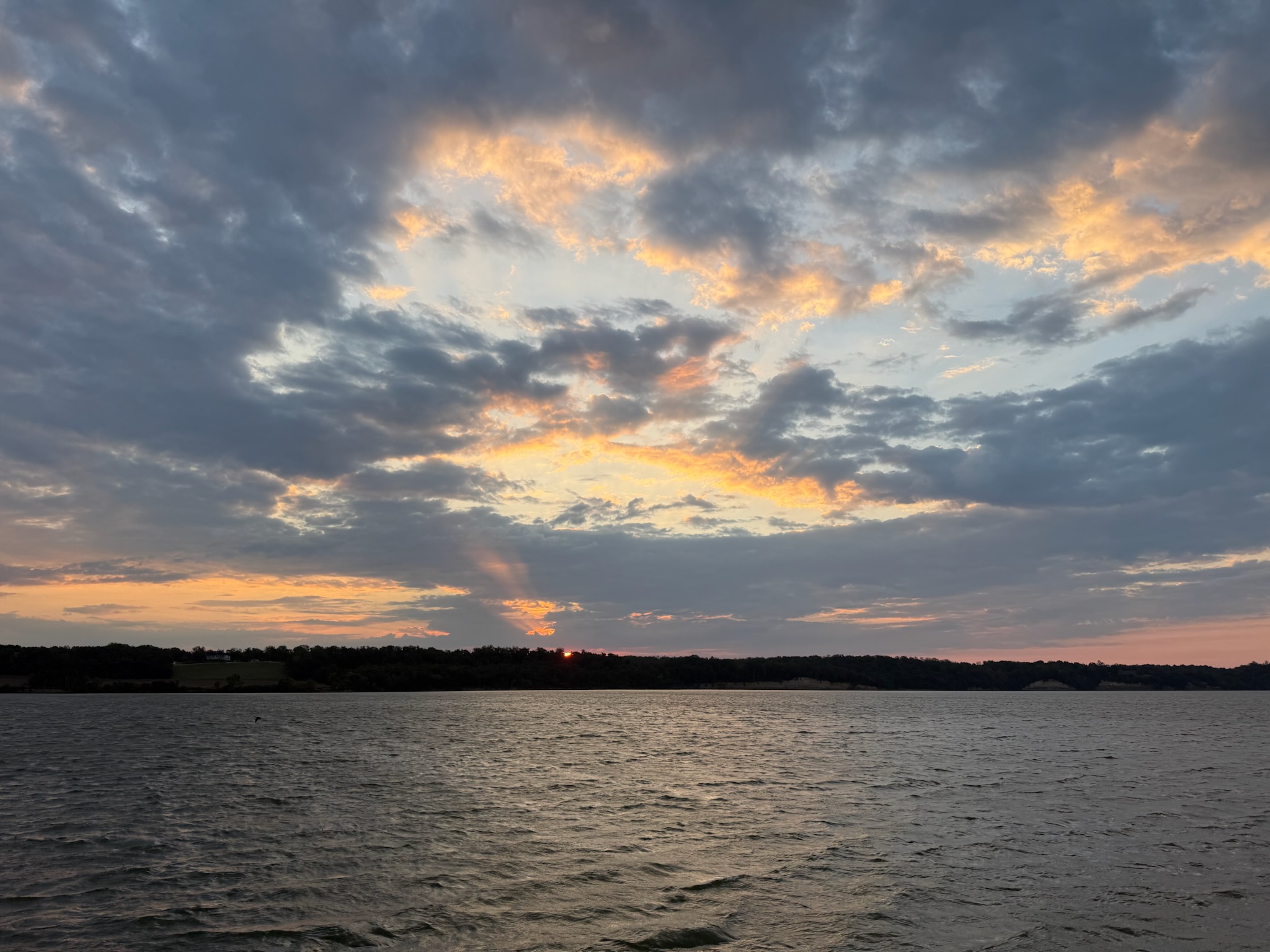
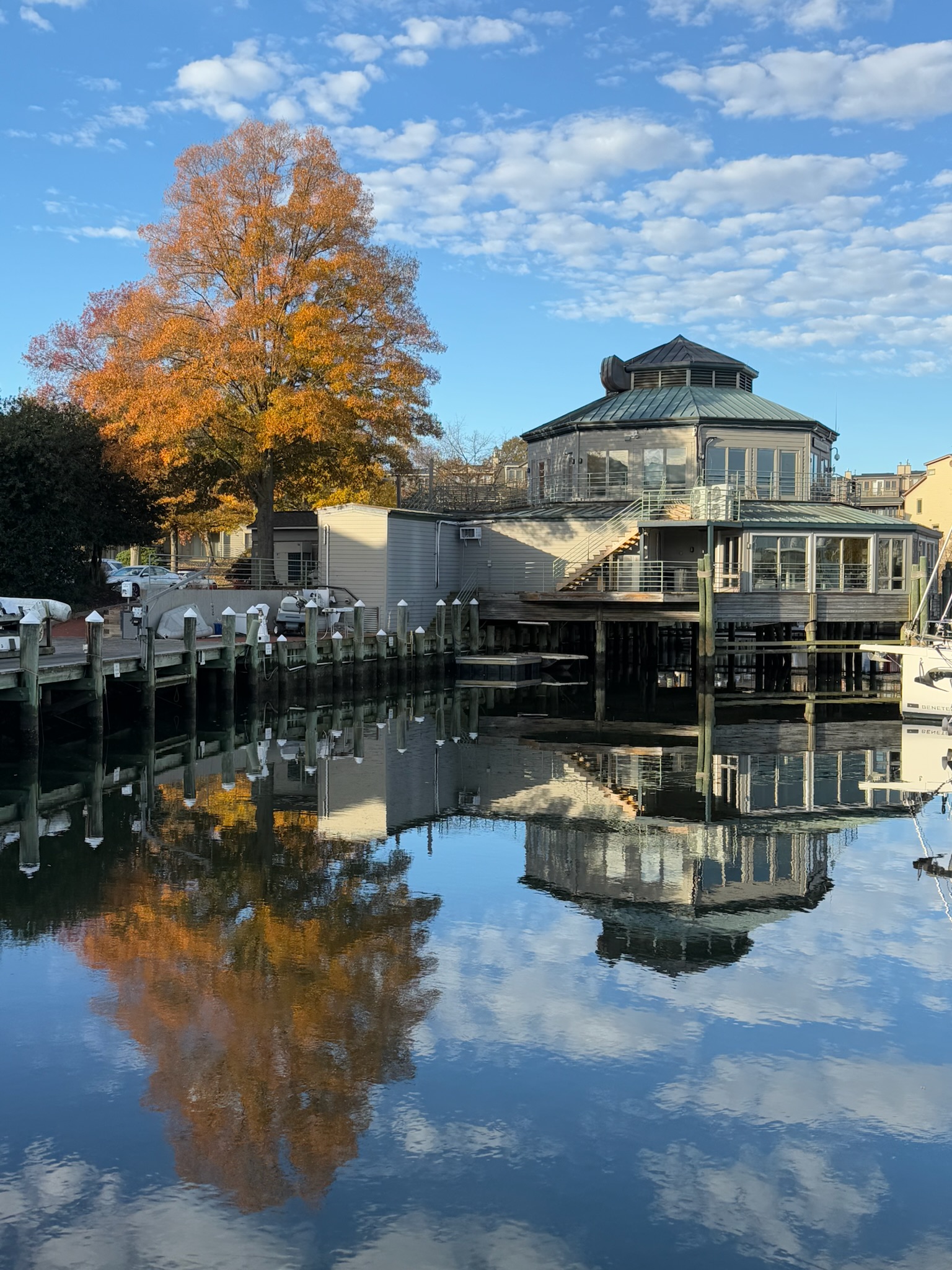
Calabash Anchorage, Long Island to Elizabeth Harbor, Bahamas

On Friday, March 14, starting at 0100 and lasting until 0500, there had been a full moon eclipse. Had we stayed up and the clouds cooperated, we probably could have seen it from here. But chose not to. When we awoke, the eclipse was fully over and the moon was shining like a spotlight.

Dawn:

Continue reading

Passage from Little Harbor to Calabash, Long Island, Bahamas — And a Stabilizer Failure

Wednesday, March 12, 2025 — We were up again early to get the boat ready to go to sea. A storm was coming in the next few days. As much as we liked this place, we’d had to make a decision between staying here longer than planned or leaving sooner than planned. We opted for sooner. We picked an anchorage ten hours away so we could do a day run. 

We quickly got the dinghy up and all the loose things stowed. As soon as dawn broke (shortly before 0700), Eric turned on the engine. The stabilizers didn’t turn on. Eric troubleshooted and determined that the servo controller (main computer) was getting power.

Our new friends also decided to move on for the storm. Here they were leaving the anchorage as the sun rose.

Continue reading

Passage Matthew Town, Great Inagua Island, Bahamas to Little Harbor, Long Island, Bahamas

Monday, March 10, continued – Daylight savings time began yesterday, so now in this part of the world the sun doesn’t rise until well after 0700. When we’d entered Matthew Town this morning at about 0845, the sun was still low in the sky and the water looked dark blue. When we exited the harbor at around 1030, the sun was higher and the water was stunning. In the shallows near the harbor it was a gorgeous turquoise, with a distinct line of dark blue where the water got deeper.

Sea conditions were the same as last reported: swells were about 2 – 3-feet at 6-seconds with 1 – 2 foot wind chop waves at rapid intervals. The wind was still hovering at 10-knots. On the passage from Jamaica to Matthew Town, we’d been heading northeast directly into the wind and waves. Now we were headed northwest, so the waves were coming from the rear corner of the boat instead of the front. And where the waves hit made all the difference in the world: it was actually a pretty comfortable ride now!

During the day, it was sunny with scattered clouds. Here was the sunset.

Continue reading

Passage from Port Antonio, Jamaica to Matthew Town, Great Inagua Island, Bahamas

Saturday, March 8 — We untied from the dock in Port Antonio at about 1130. As soon as we left the bay and got out into the open ocean, the swells were about 3-feet at 6-seconds, directly on our nose. The wind was about 10-knots, creating about 1-foot wind waves, also directly on the nose. We were hobby-horsing like crazy. Eric immediately got sick. Keith initially felt okay, but once he started looking at his screen, it didn’t take long before he was sick, too. 

Wind and sea conditions stayed the same all of Saturday, and Eric and Keith were sick all of Saturday. During the day, it was sunny with scattered clouds. At night, the 3/4 full moon shone so brightly it was like a spotlight, making the stars barely visible. However, after the moon set, the stars were vibrant.

Dawn on Sunday

Continue reading

Welcome to Port Antonio, Portland Parish, Jamaica

Sunday, March 2 — Tonight was a rare astronomical event — a seven planet alignment, with several of the plants visible to the naked eye. But sadly, the seas were too uncomfortable for us to even consider sitting outside to see it.

By midnight, we could see lights from southern Jamaica in the distance. By dawn, we were close enough to be in the shelter of the island and the waves became a little smaller. We could also smell smoke – not an unpleasant smoke, like a fire, but like smoking food. 

Shortly after dawn, we rounded the western corner of the island. Our change in direction meant we went from head seas to beam seas. Eric’s seasickness instantly vanished. As we trekked north, we ran close to shore. From what we could see, Jamaica was mountainous and lush.

It only took a couple of hours to go from the southern side of the island to Port Antonio, located on the north-eastern side of the island. We turned into a bay named East Harbor, then immediately turned into a channel between the tip of the mainland peninsula and Navy Island that led into a bay called West Harbor.

Entering East Harbor, Port Antonio
The channel between East Harbor and West Harbor, Port Antonio
Continue reading