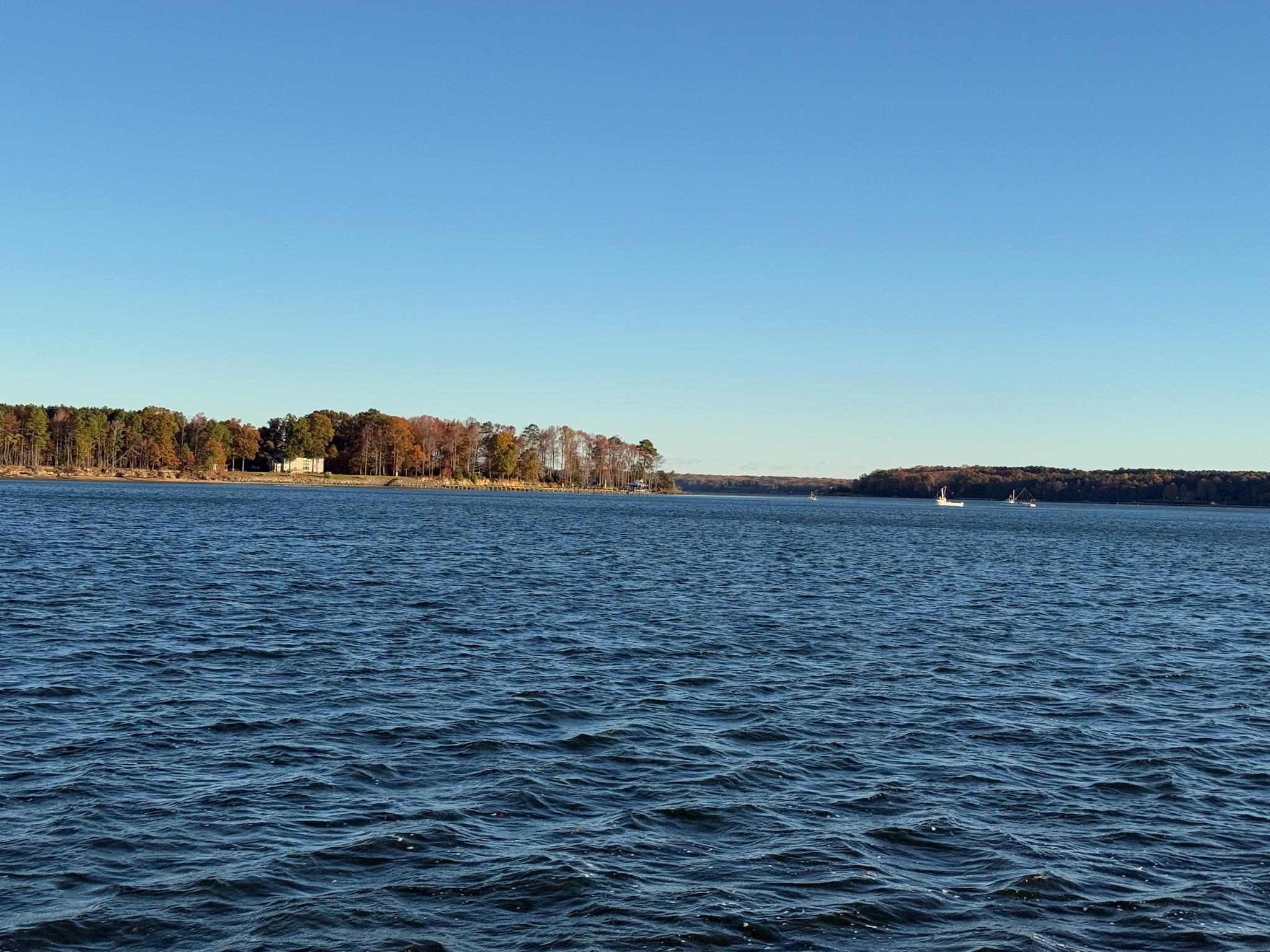
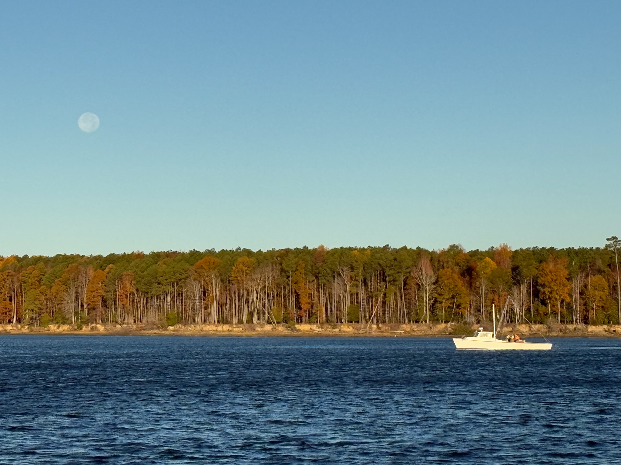
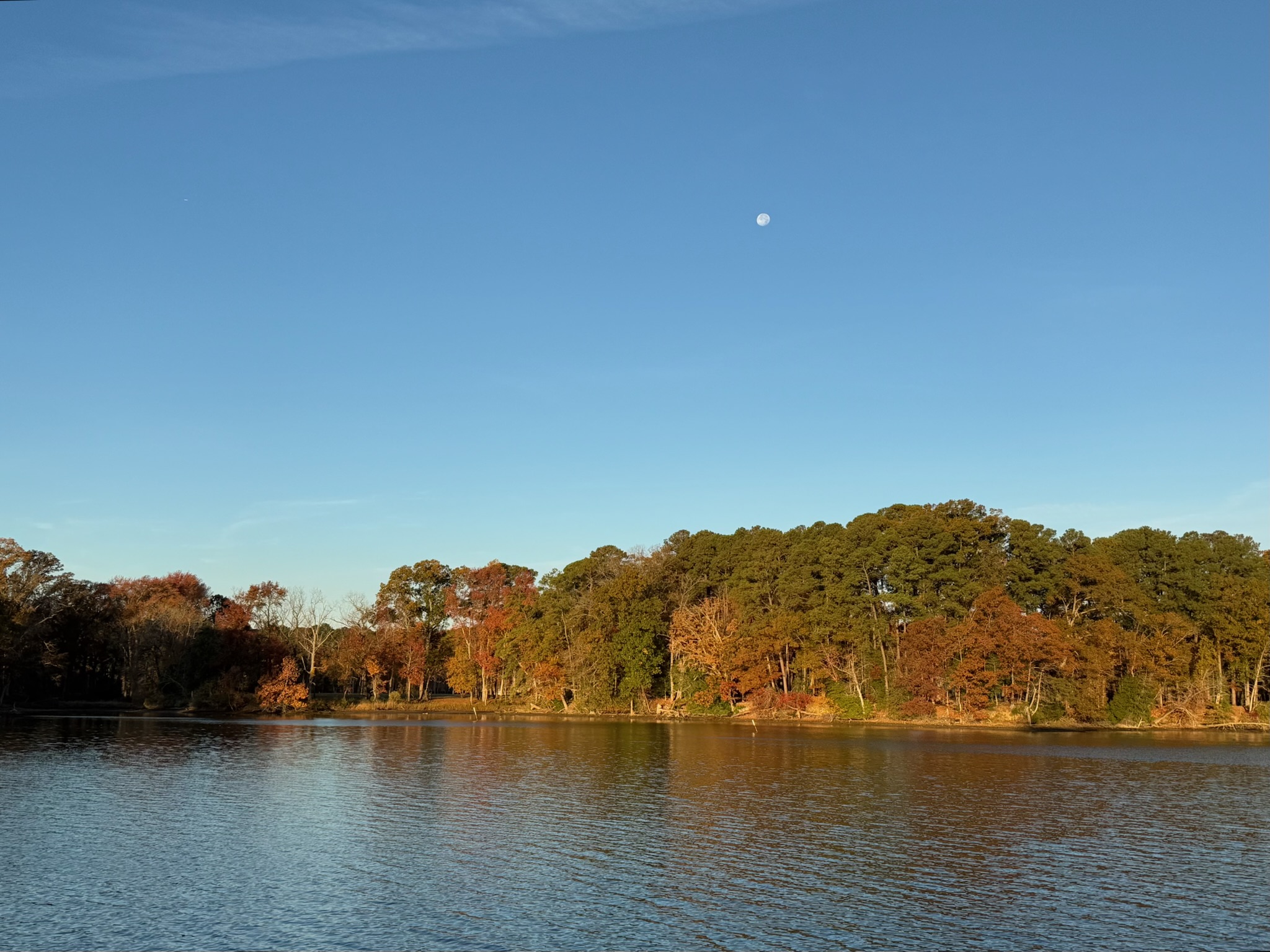
Friday, Nov. 7 — The full moon was still up this morning and shining brightly.
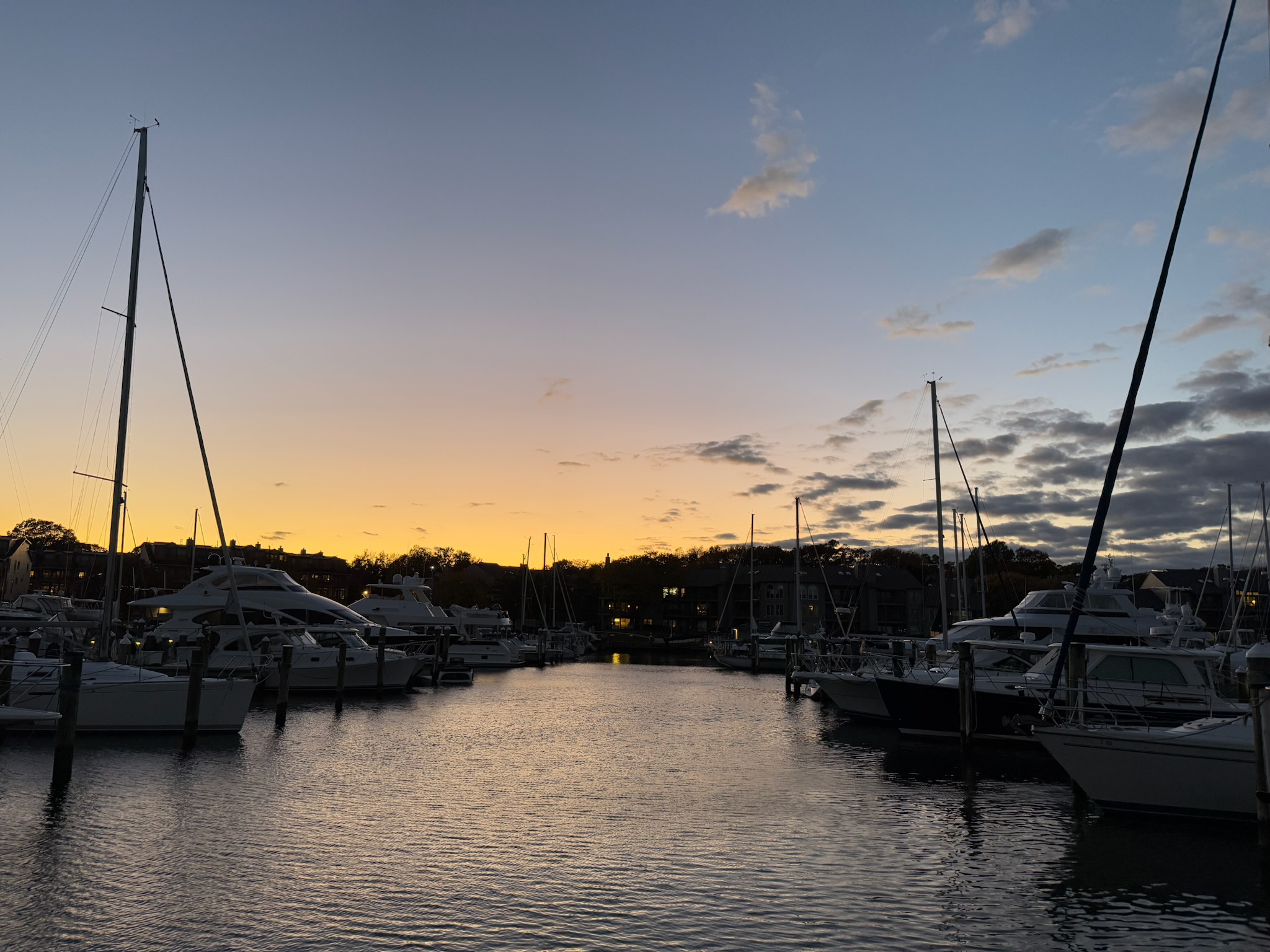
Since we’ve missed our weather window to Bermuda, we needed to form a new cruising plan. We’ve decided that once the repairs were completed, we’ll go back to Little Creek to wait for another weather window to Bermuda.
Eric continued to work on repairs/maintenance while Christi and Keith did school. He noticed that the bilge pump sea strainer and hose was leaking. That part was awkward to access, so tightening the sea strainer was difficult.
Continue reading