Tuesday, April 22, 2025 – Today we were all wearing water shoes — yesterday, we’d been in flip-flops and we realized water shoes were a better choice for the park. According to the material we’d been given at the marina office, the pools and beaches opened at 0900, but the waterslides and Rapid River didn’t open until 1000. Knowing that it would take a half-hour to get to the waterpark, at 0925, we called for a golf cart to pick us up.
When the golf cart dropped us off, we couldn’t believe how long the line was to buy tickets. We were happy to be by-passing that line! We joined a mob of people all speed walking through the long stretch between the entrance and the waterpark itself.
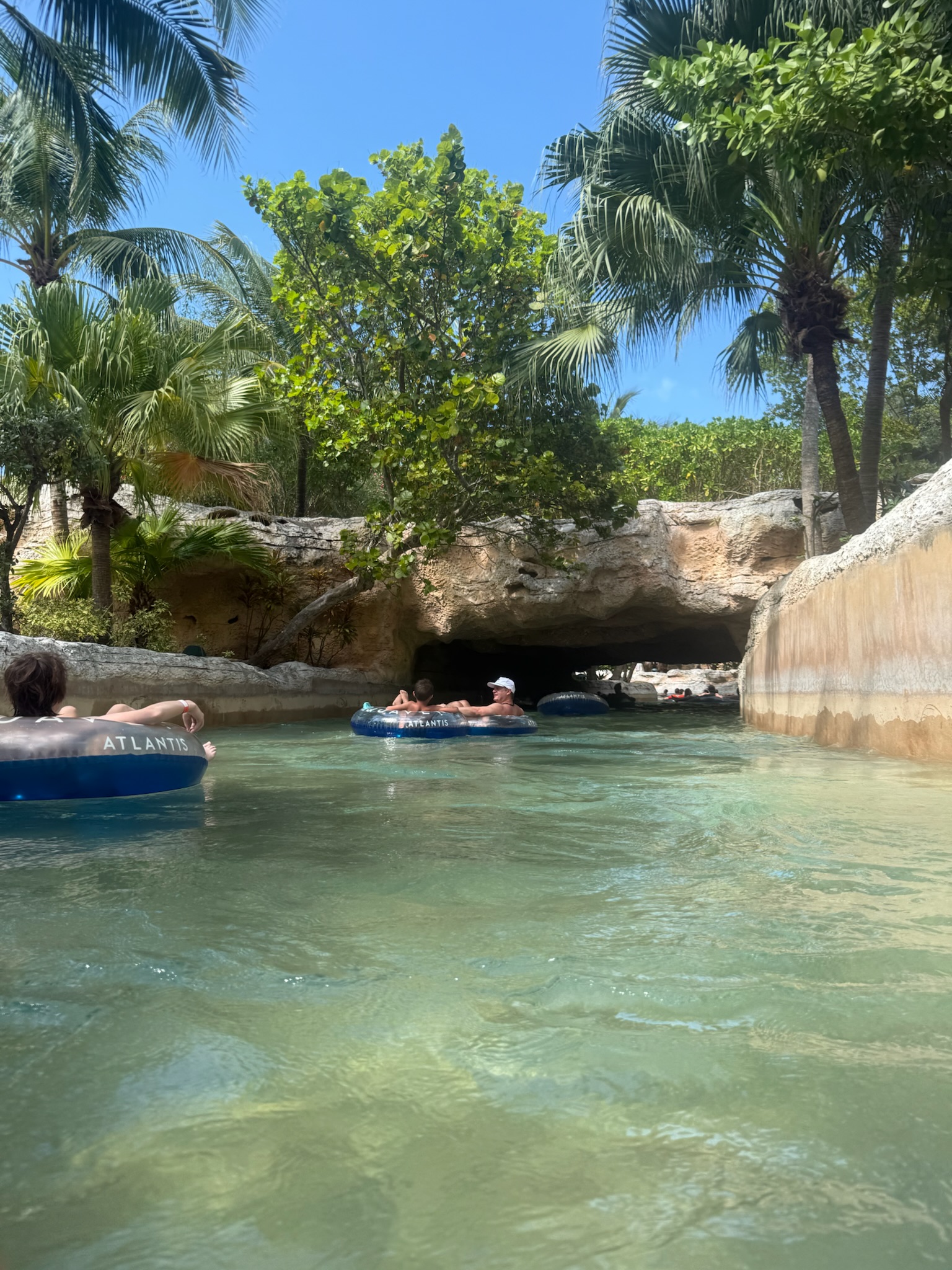
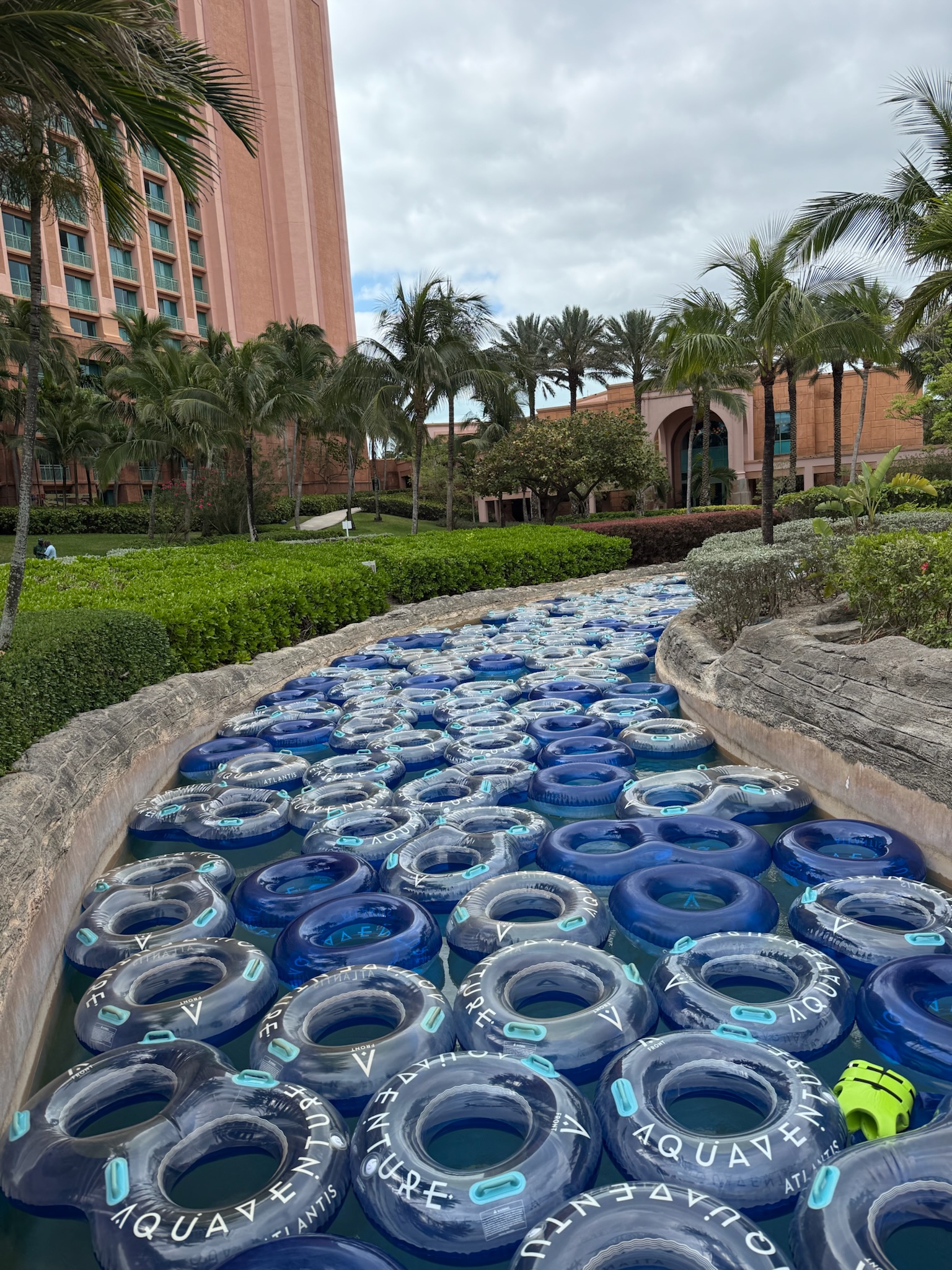
Now that we’d scoped out the park, we’d formulated a strategy to maximize the number of rides we went on today: start at the river entrance (stop 1), exit the river at stop 7, which was where the entrance to the Power Tower was, and take our inner tubes with us to the Tower slides. The waterslides let out near stop 6, then we could get off again at stop 7 and do that loop over and over again until we’d had our fill of those inner tube rides.
As anticipated, we reached the rides around 0955. We were surprised to see that a waterslide at the Mayan Temple was already running, and looked like it had been for a while. The river had not opened yet, though, and we were one of the first ones on it.
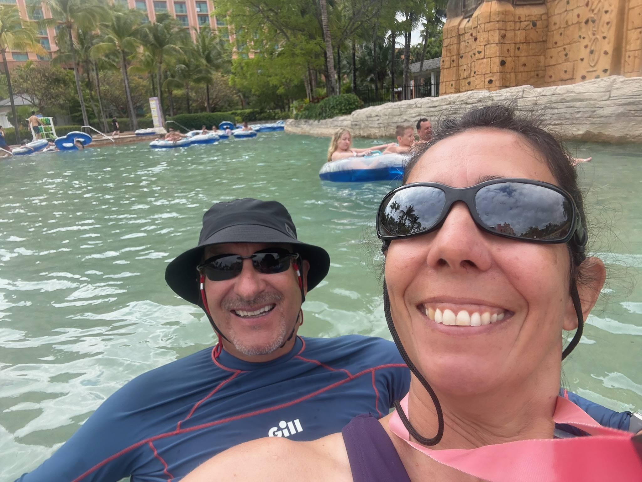
This time, Eric and Christi got a two-person tube, and they stuck close to Keith.