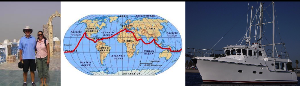
continued… We walked down the path towards the ocean.
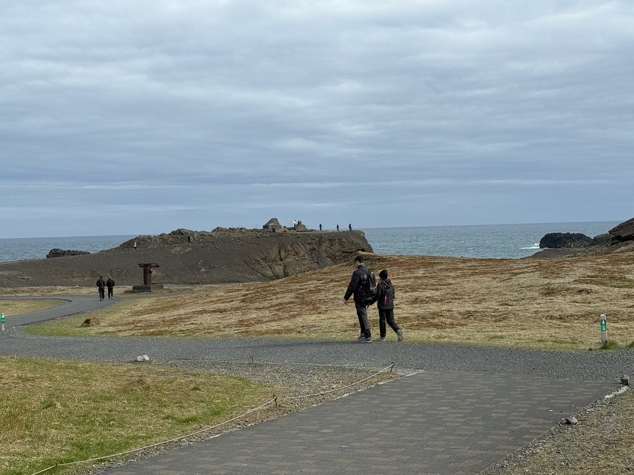
According to the sign, Dyrhólaey was believed to have formed 80,000 years ago in a submarine eruption, and was originally a separate island. Over the millennia, the sea level has reduced. The lowering sea level exposed the land between the Dyrhólaey and the main land, so now it was a promontory (we had to look that word up, too. It meant a high ridge of land or rock jutting out into a body of water). It was 120-meters tall. Here was a shot of the ridge of silt built up in the water. Note the line of cars on the left that were waiting for someone to leave so they could enter the parking lot.
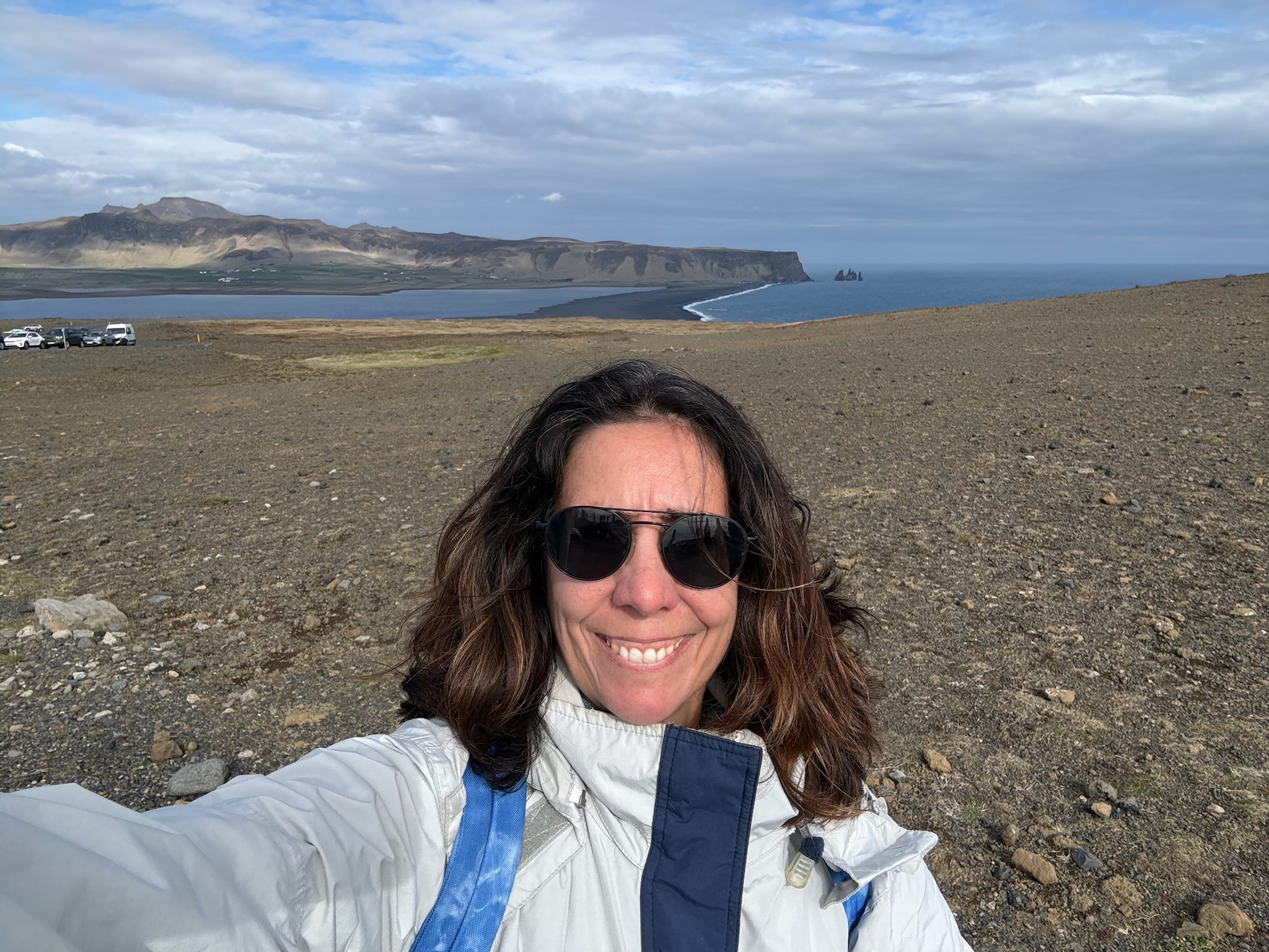
Dyrhólaey was declared a natural reserve in 1978 to protect the extremely rich variety of birds that lived here, including eider ducks, fulmars and puffins. Seabirds nested in the vertical cliffs. While there were lots of vertical cliffs in Iceland, there weren’t many along the southern shore, hence the concentration here at Dyrhólaey. Prior to it becoming a reserve, it was a fishing station and locals hunted birds and eggs here.
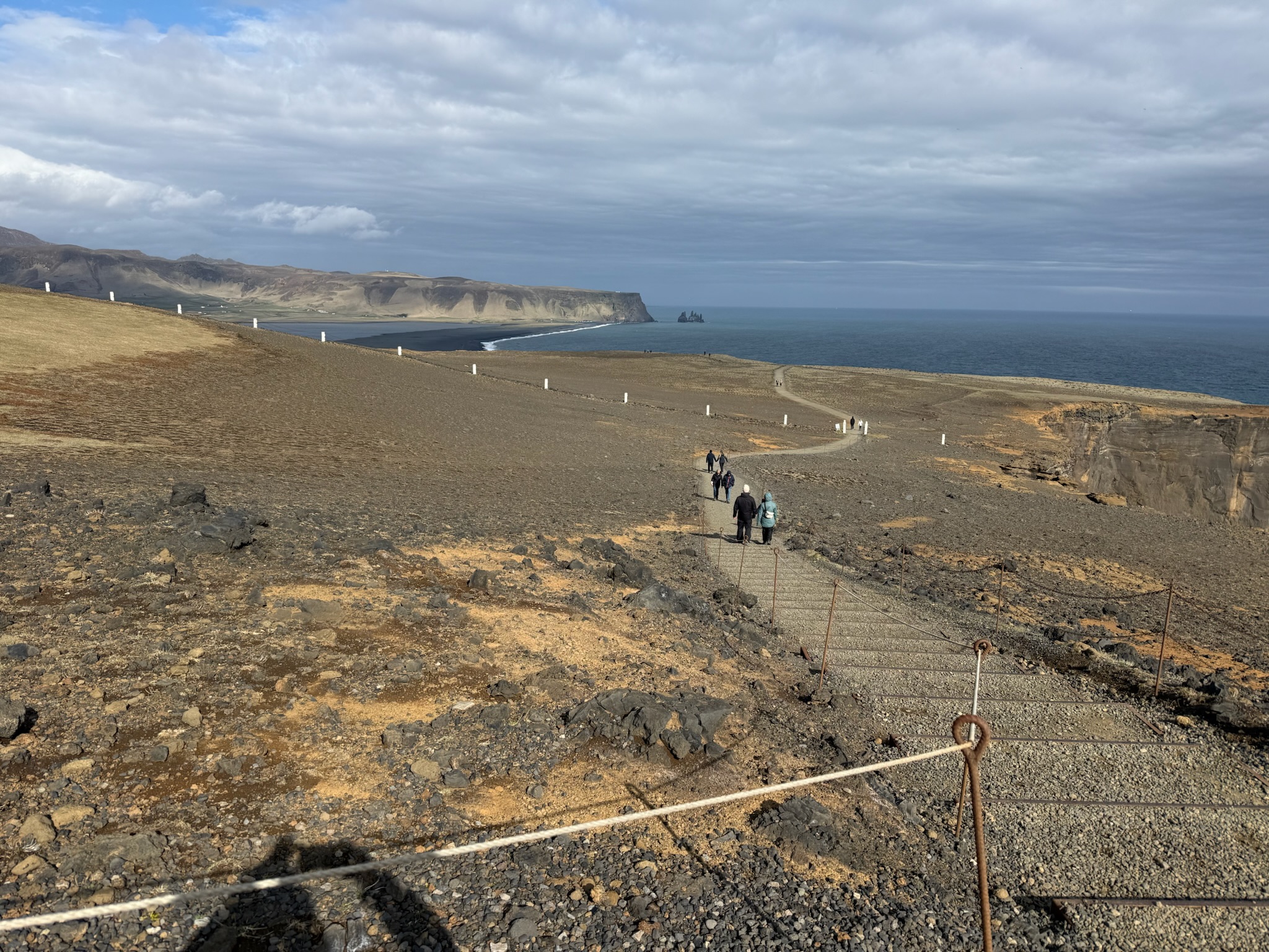
The view was stunning in every direction. We’re going to put the pictures in order to make a 360-degree view going clockwise from the photo above (note each these photos were taken from different viewpoints).
The arches were one of the defining geological features of this reserve and was the basis for its name — in Icelandic, Dyrhólaey meant door hill island. The spies was caused by erosion from the waves. The larger arch was big enough that boats could easily cruise through its opening and, in 1993 two people flew through it in a Bellanca 7KCAB Citabria plane. It reminded us of the arch in Cabo San Lucas. Now that we’re thinking about it, there was a lot about Iceland that reminded us of Baja, particularly the shape and structure of the mountains and lone mountains rising out of plains.
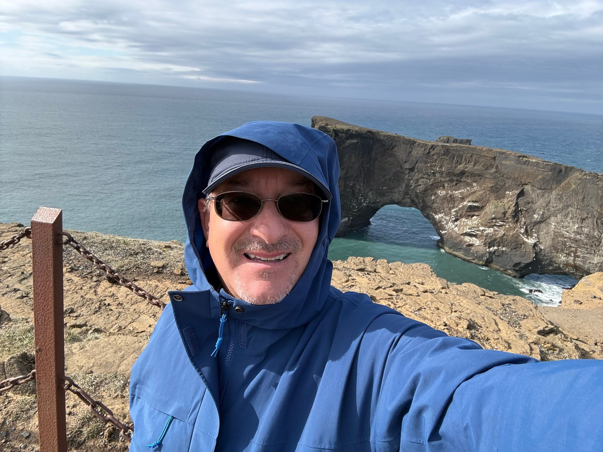
Here were the arches from the opposite side.
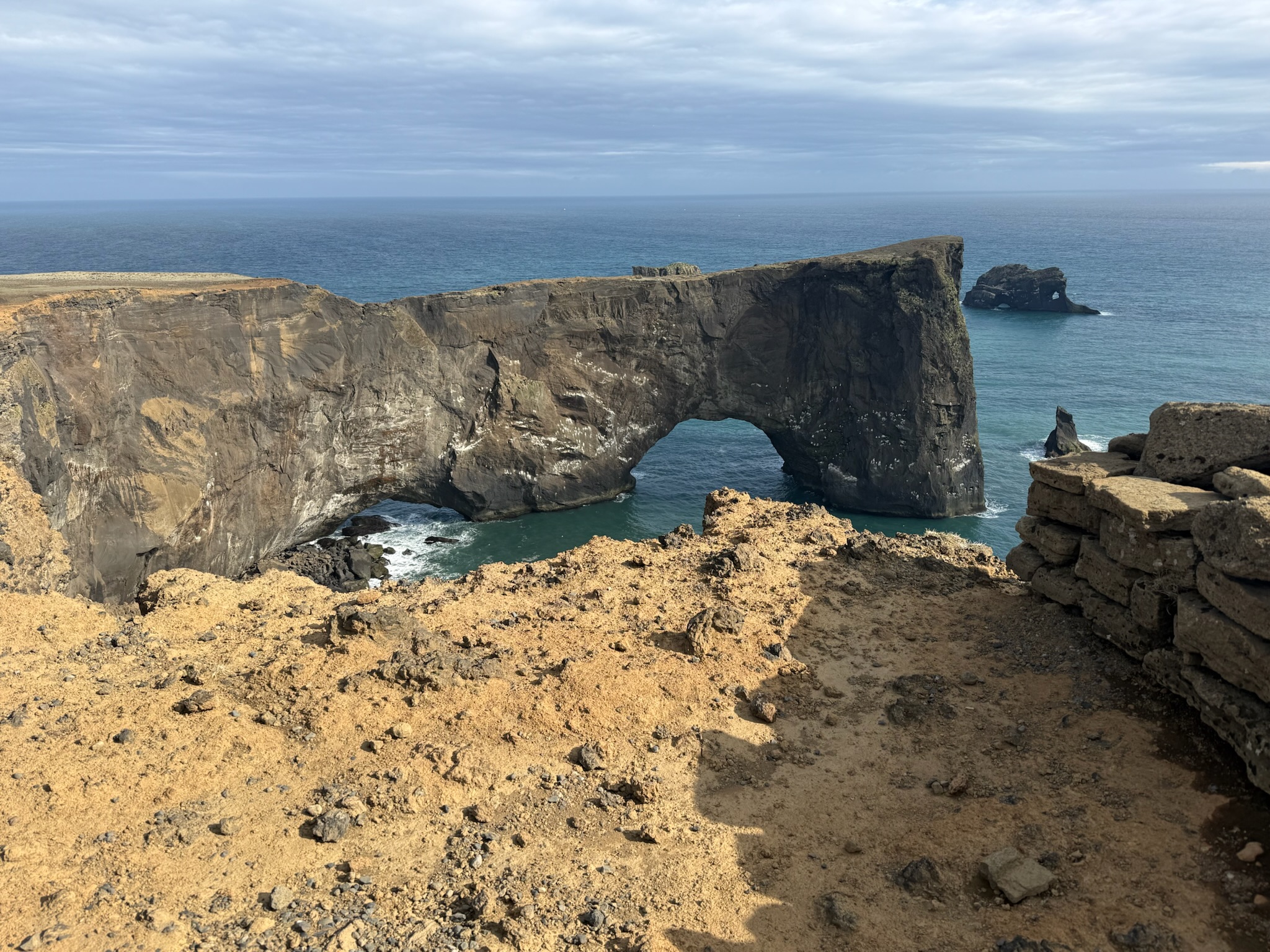
The beach
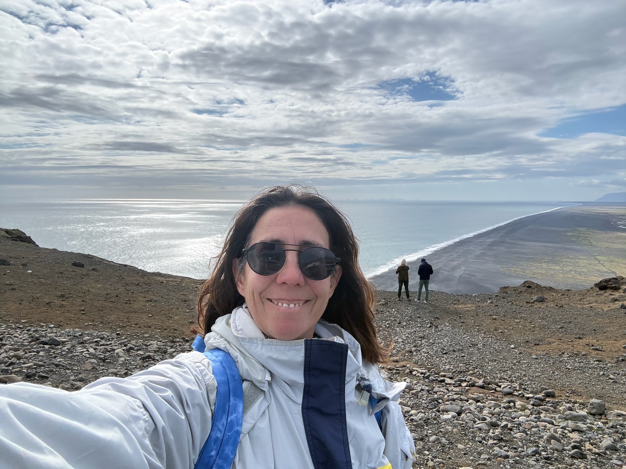
Inland from the beach.
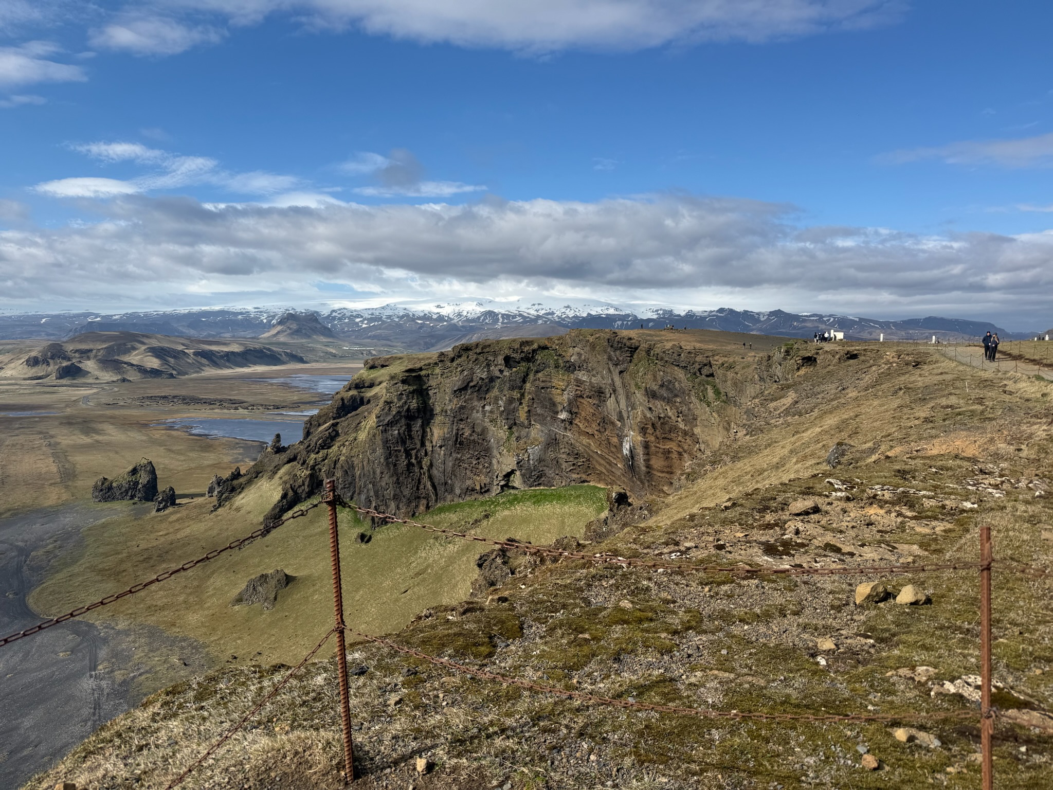
And the mountains behind. To the right, you can see the edge of the water, making a full circle with the first photo above.
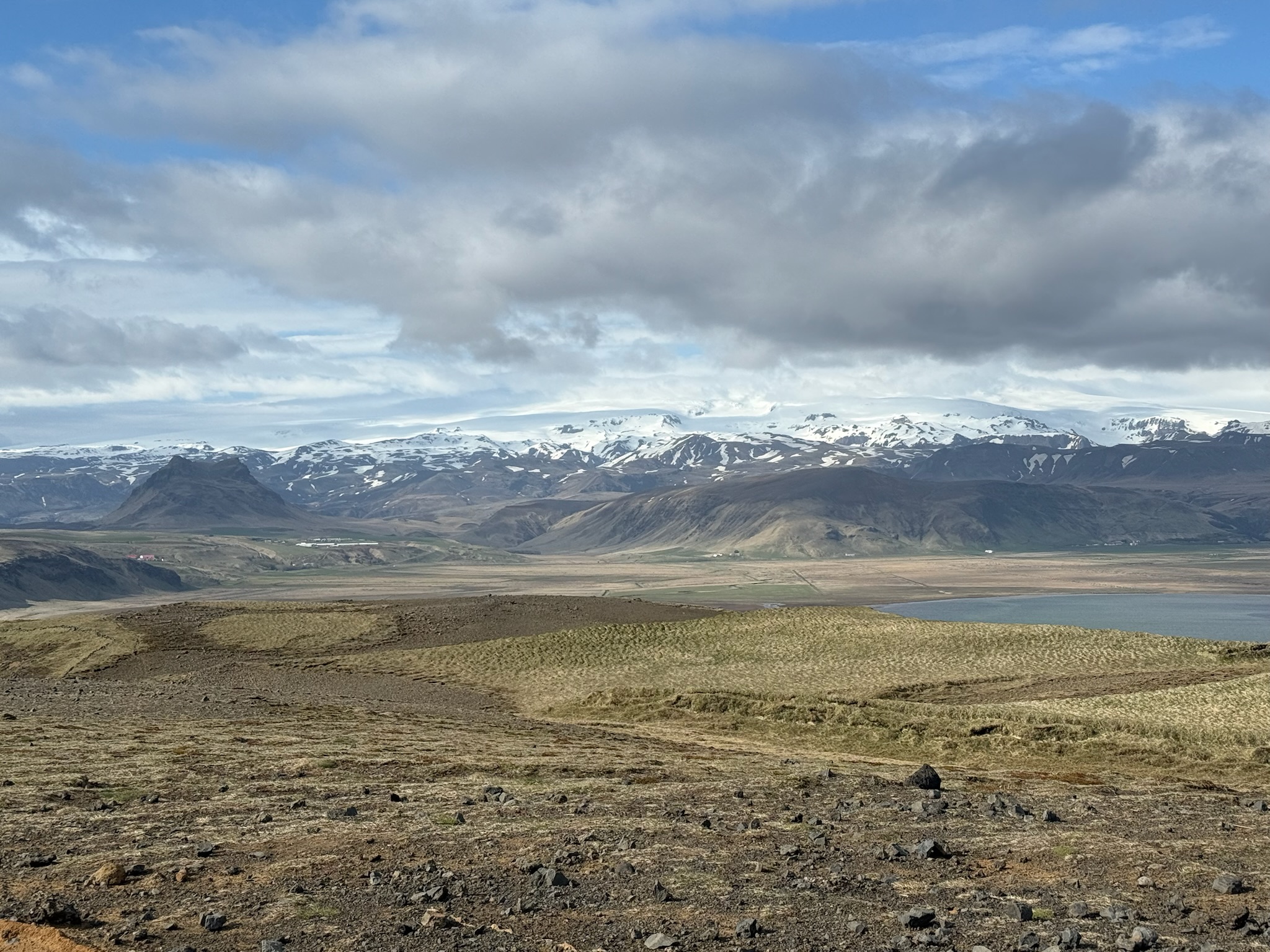
In the middle was the Dyrholaeyjarviti lighthouse. The first lighthouse was built in 1919; the current one was completed in 1927. We believe the building to the left was a restroom, but we weren’t 100% sure about that.
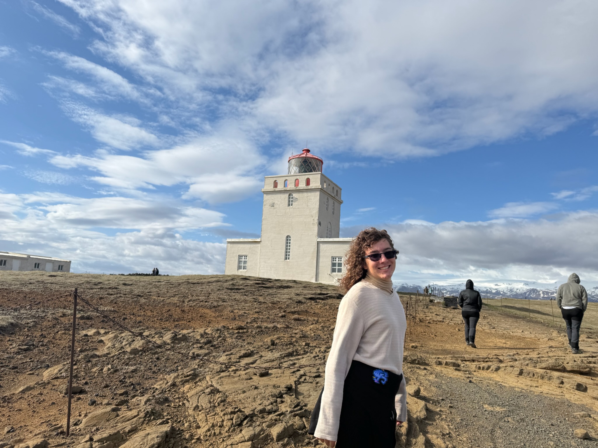
Worried about getting in trouble for the illegal parking, we hustled back to the car and headed back to Reykjavík. Being an unusually clear and sunny day, and the scenery was spectacular, especially of the mountains. Usually, the glacier peaks were covered by clouds, but today they were clearly visible. Here were a couple of shots taken between Dyrhólaey and Skogafoss. We passed lots and lots of rivers over the entirety of the drive.
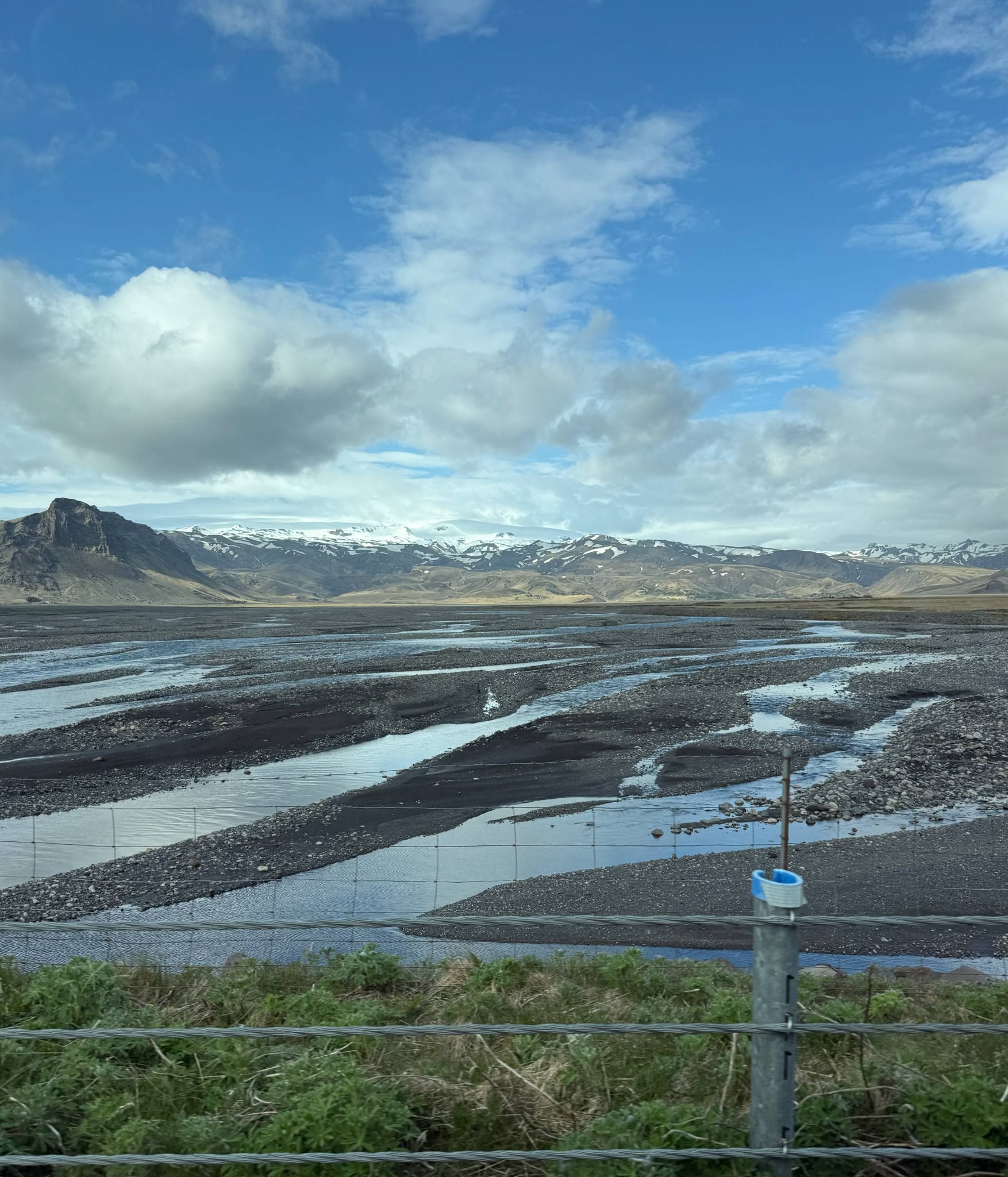
Close up of the glacier.
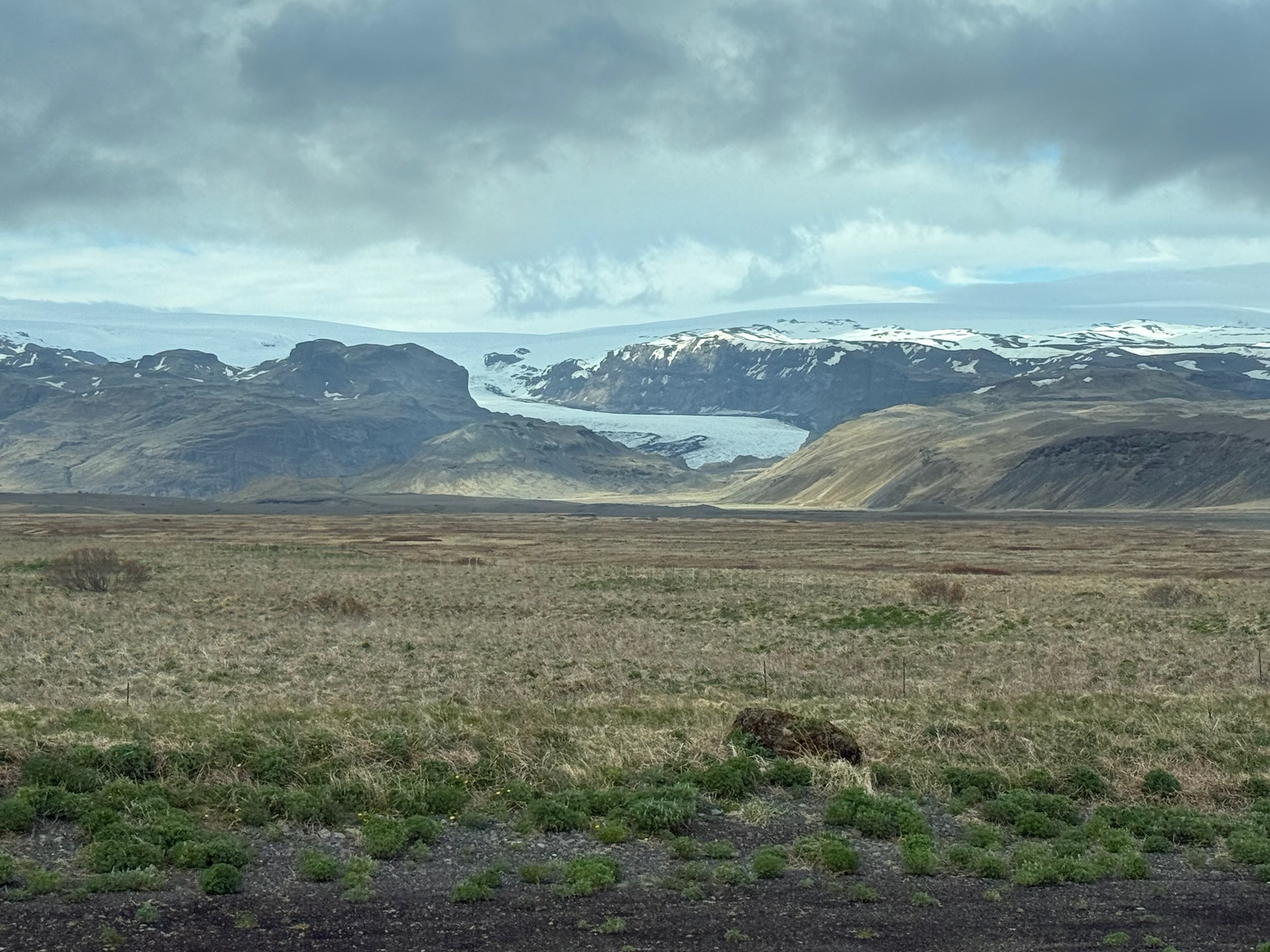
Here was a shot of Skogafoss as we drove by it. A road sign had said to take the next exit to get to it.
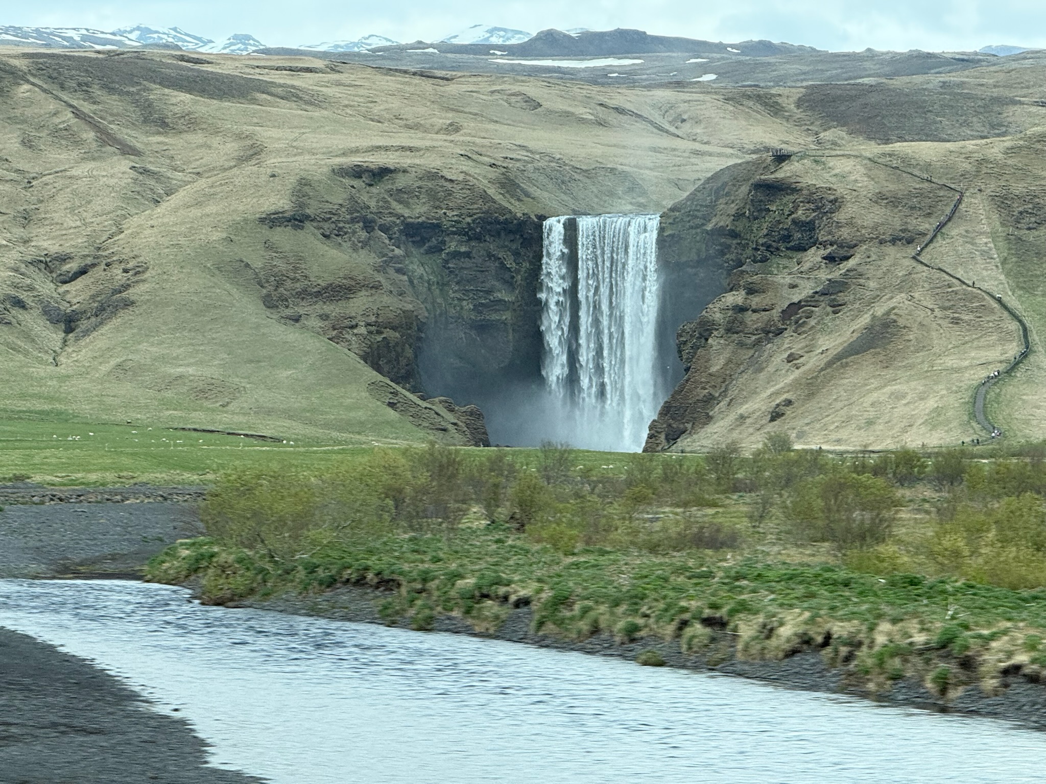
Eric and Christi wanted to stop at the waterfall, but Keith vehemently objected. He argued that we’d already seen some waterfalls today and there was no need to see any more. Eric and Christi knew that Keith was anxious to get back to the hotel so he could talk to his friends online. The last week without any friends physically around had been lonely for him, and with the big time difference, he hasn’t had much opportunity to talk with friends online. They agreed to skip the waterfall and head straight back to the hotel.
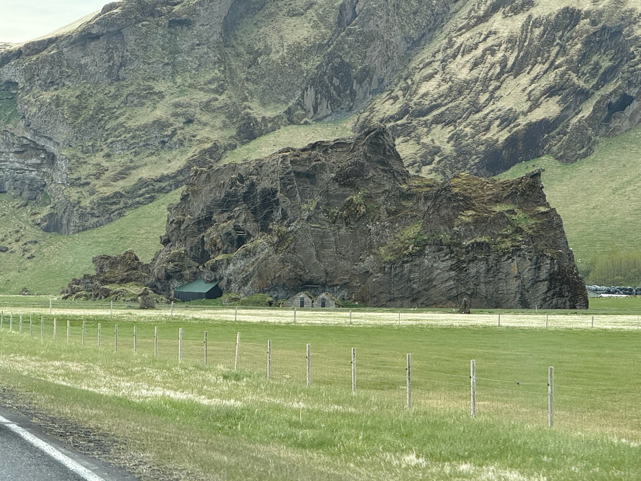
Here was a shot of the big rock taken from the opposite direction. It looked like the owners had built little elf houses built in front of it.
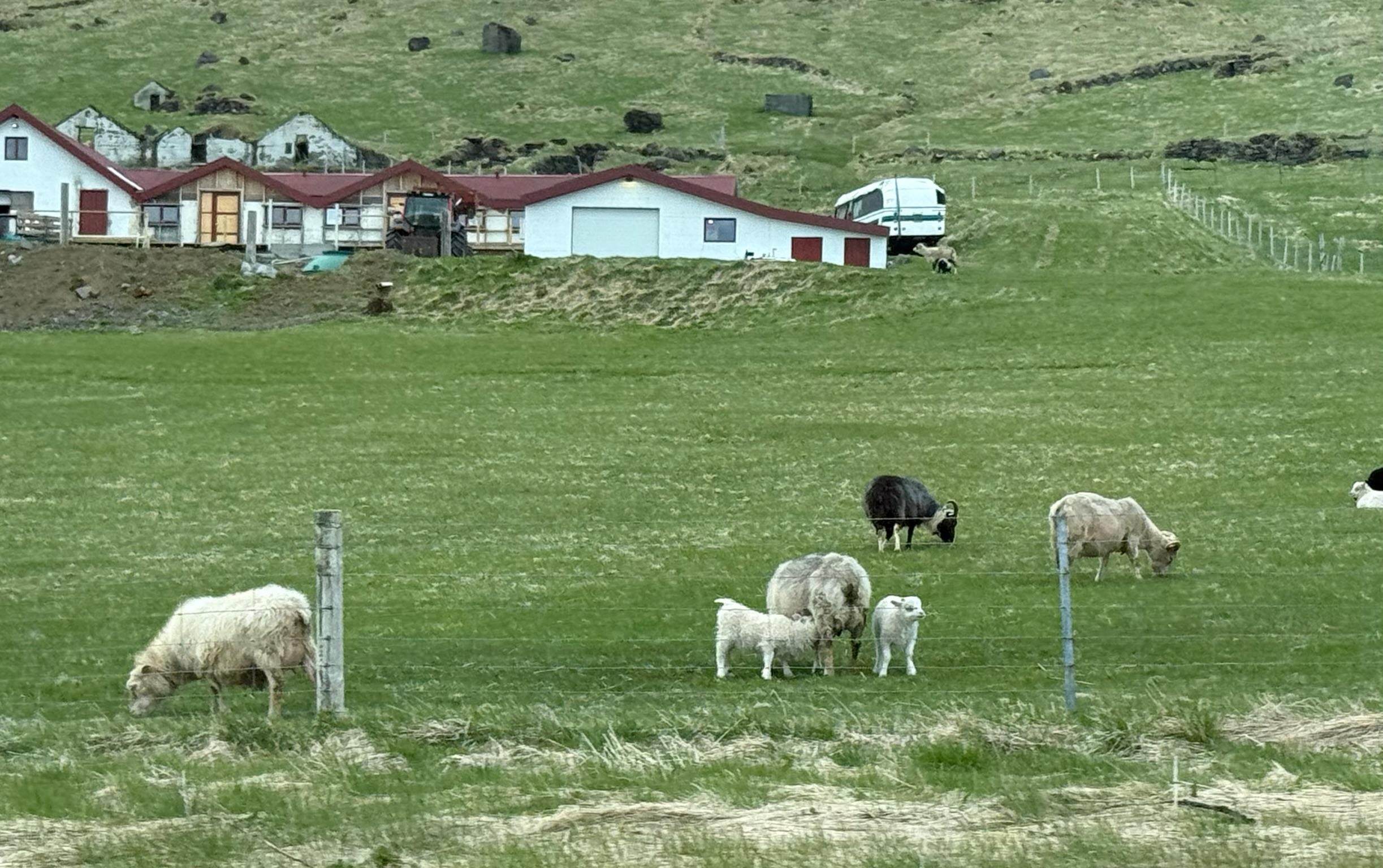
On the way to Dyrhólaey, we’d seen lots of animals out grazing, including horses, cows and sheep. We’d noticed there were a lot of baby sheep in the fields, but we failed at getting any photos. But we got some this direction.
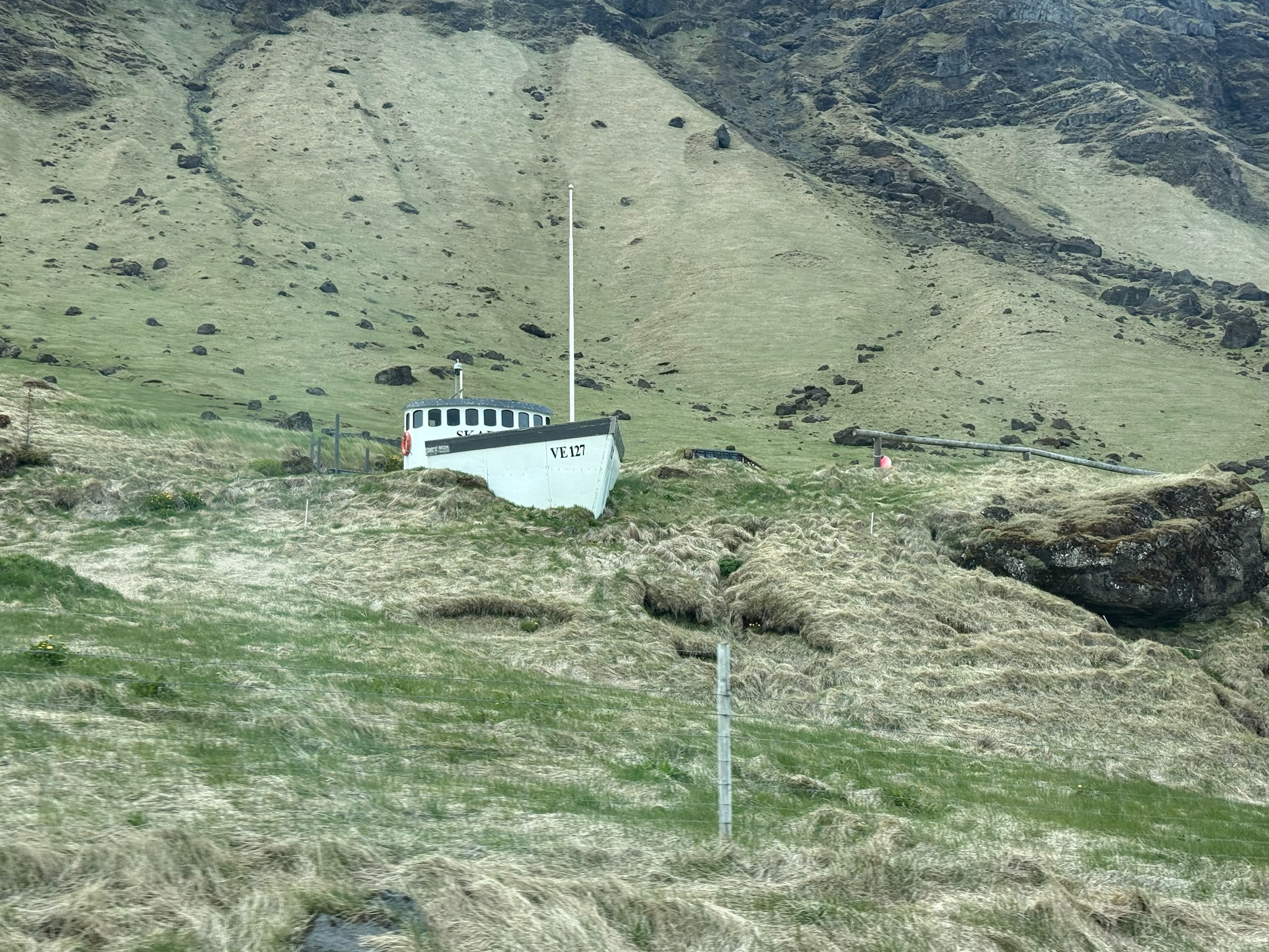
On the way, we had also passed a random fishing boat lodged into the mountain. This time, we had the camera ready to get a photo of it. Maybe someday we’ll try to find out what it was doing there.
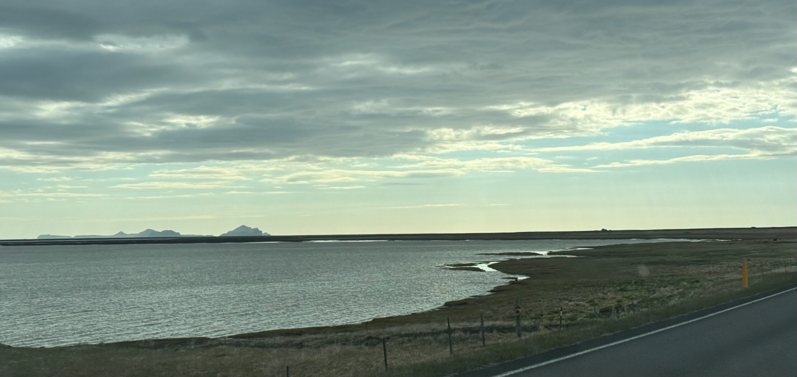
Relatively near the ship was also a section of fence with bras hanging all along the top of it, but we weren’t fast enough with the camera to capture the fence. Here was one of the several lakes we’d passed.
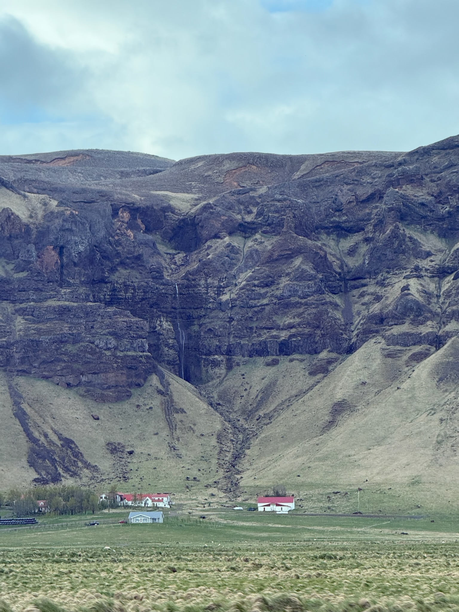
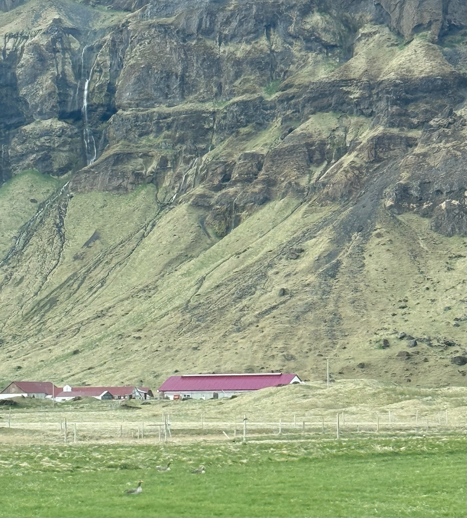
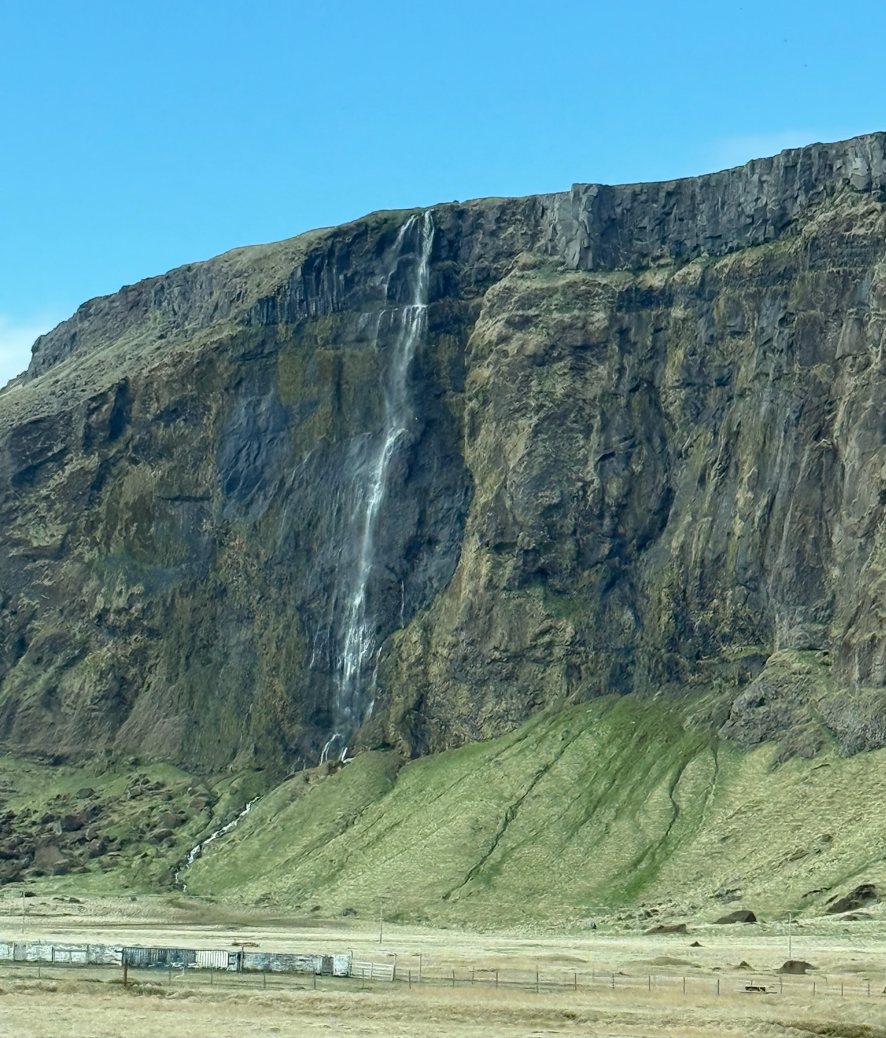
We started to notice that there were a lot of waterfalls cascading over the cliffs. These were only three of at least two dozen that we saw.
The peak of the glacier was glowing in the sunlight.
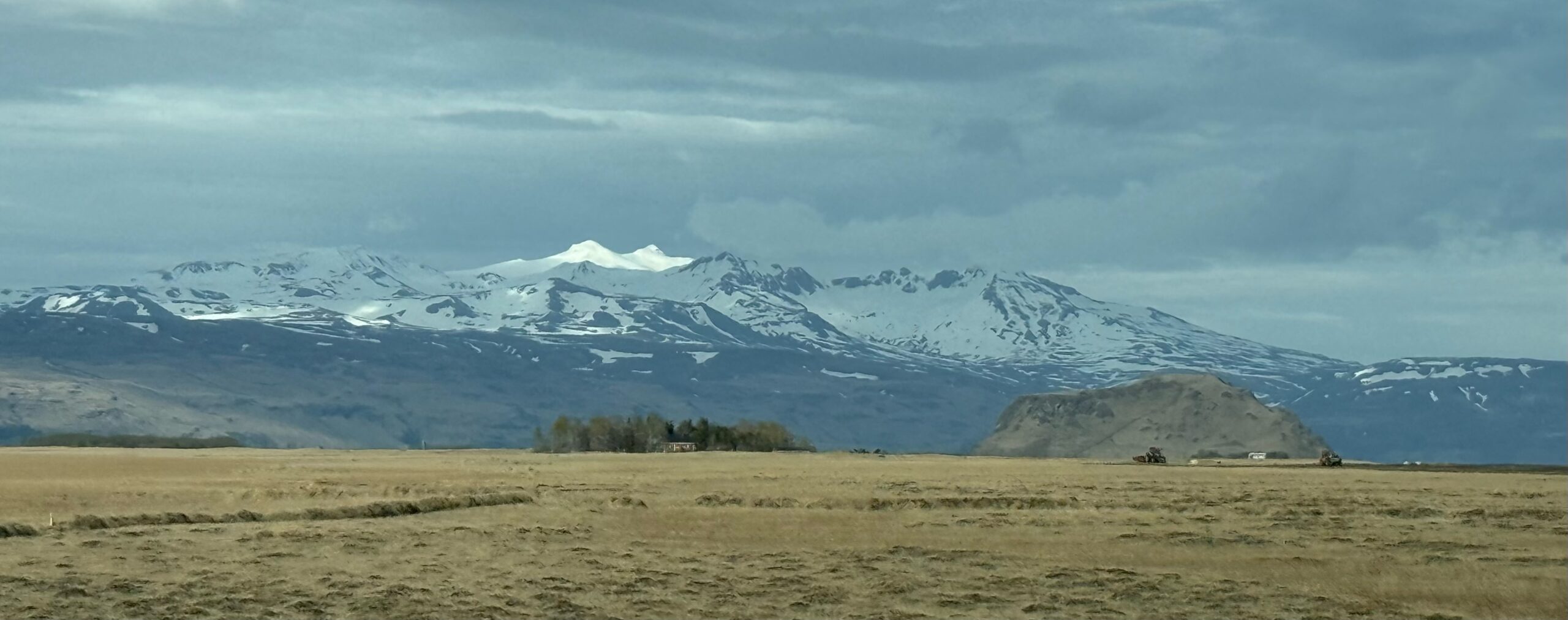
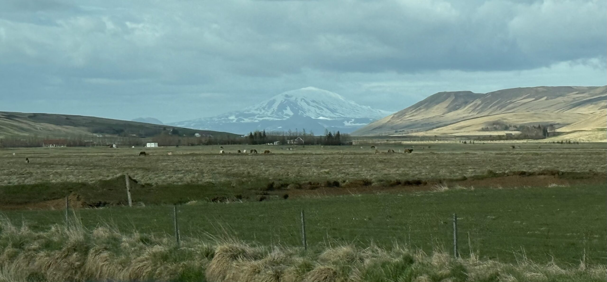
Another stunning view of the glacier.
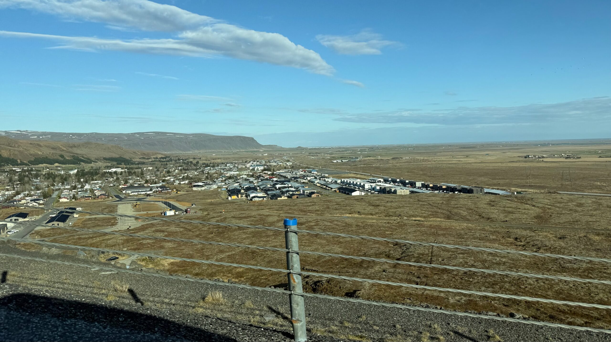
Beyond Hellas, the road moved away from the mountains and the scenery became less green. Here was a shot of a small town from a hill.
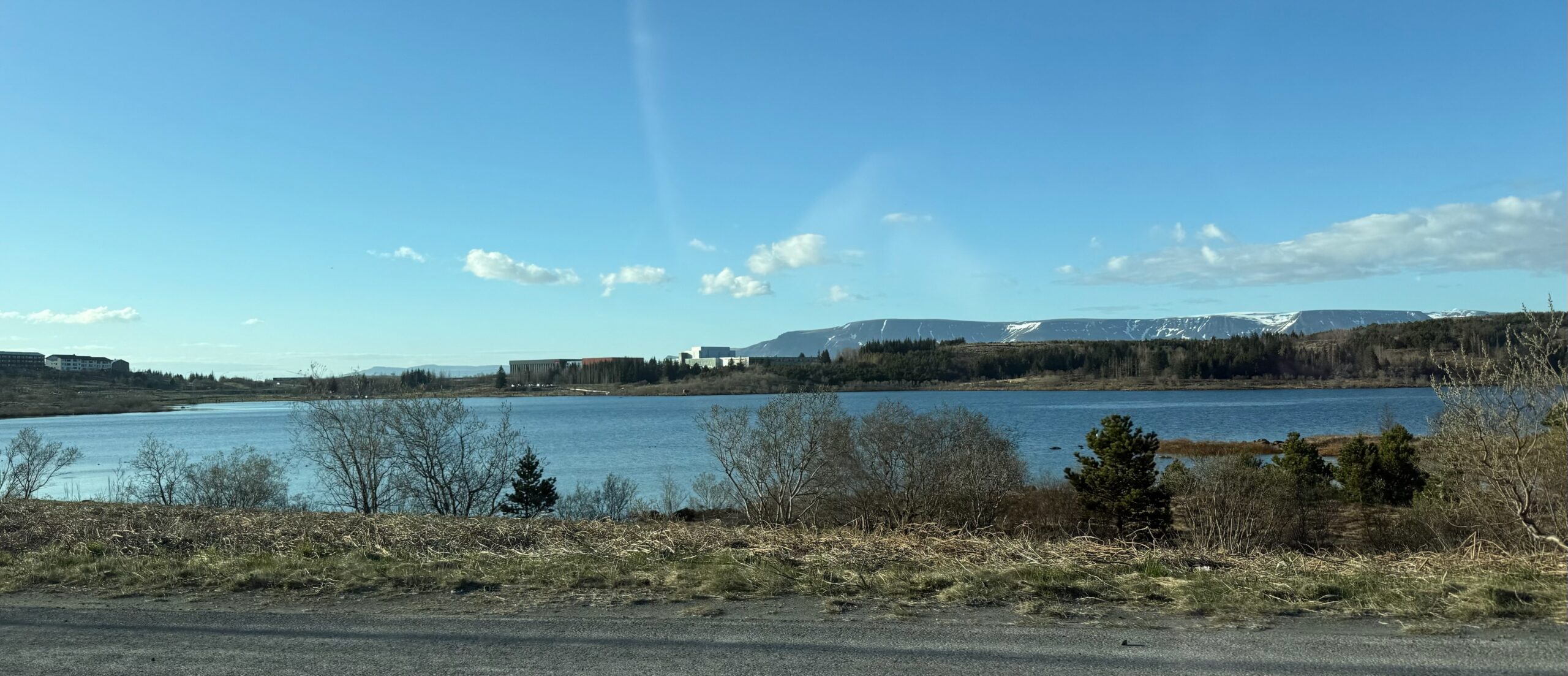
Here were a couple shots of the outskirts of Reykjavík.
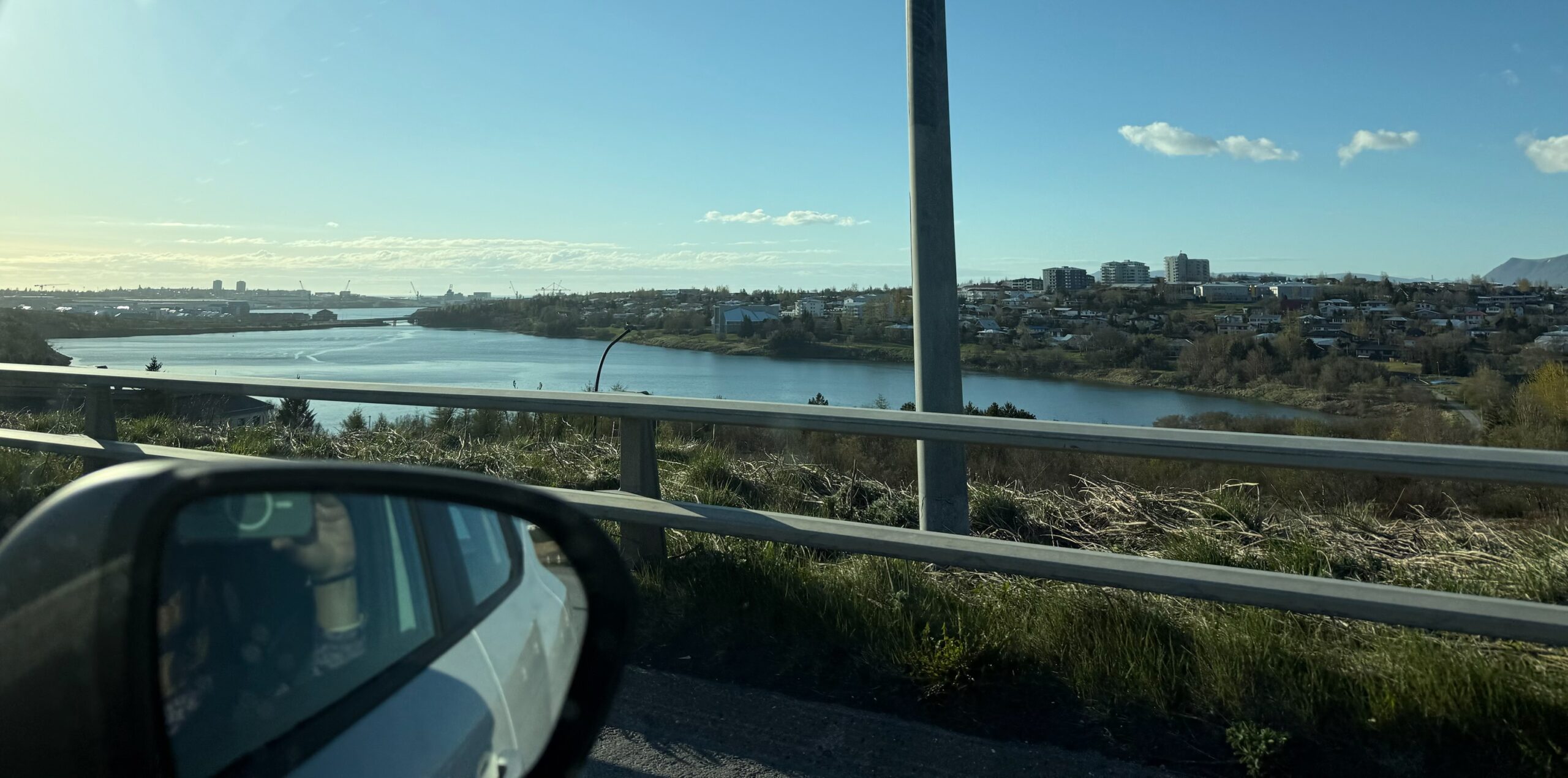
One of the reasons we’d been hesitant about renting a car when we’d booked the trip was because we’d read that parking in the city could be expensive and problematic. And we had noticed that the area between our hotel and downtown seemed to require parking permits and/or hourly fees with time limits. However, during our walks over to Grandi Harbor, we’d noted that there was lots of parking, it seemed to be free, and there didn’t seem to be time limits. We went to dinner at Flatey Pizza, which was on the edge of Grandi Harbor and a very short walk to our hotel. We’d parked in front of the restaurant and the waitress confirmed there were no restrictions on leaving the car there overnight. That was a relief!
Dinner was fabulous. After dinner, we made a beeline back to the hotel for the night.