Welcome to the San Blas Islands, Panama

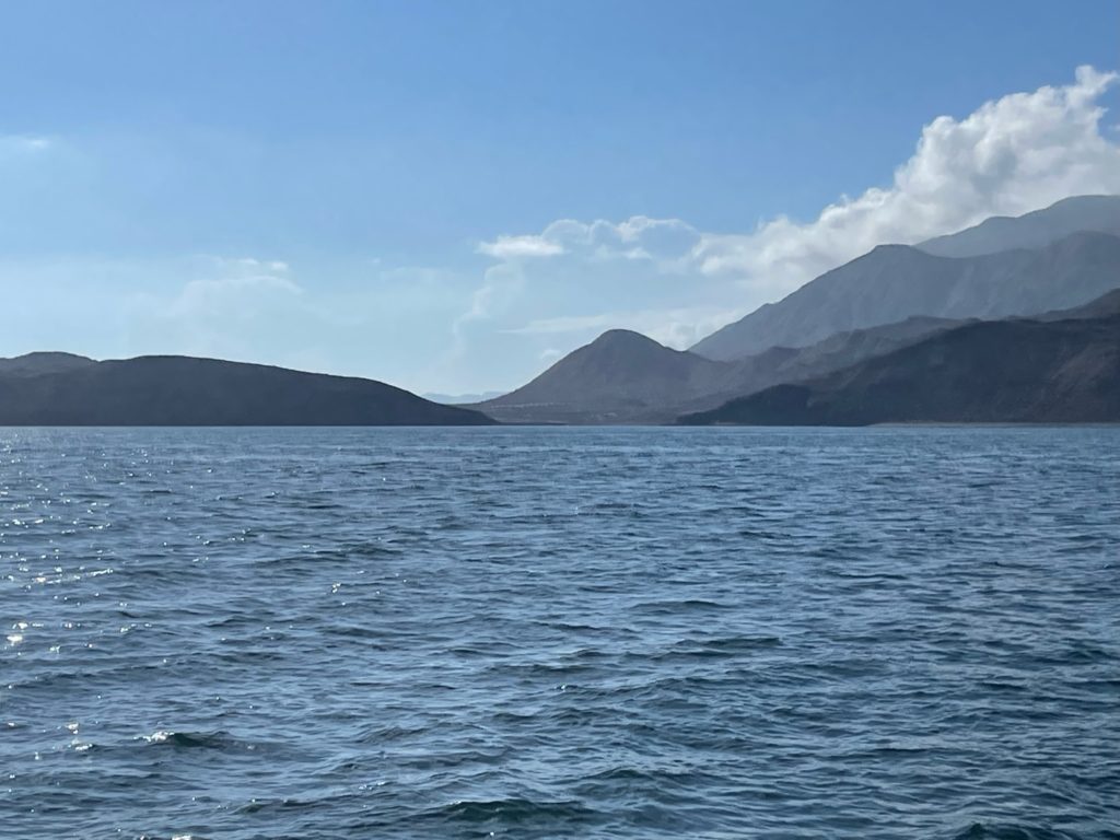
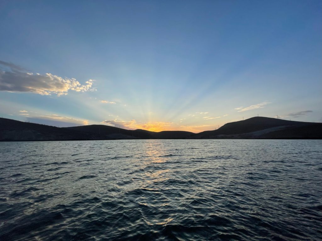
At around 0330, we approached the east end of the San Blas archipelago. We were heading for the Canal Caobo, a channel just south of the group of small islands known as Holandes Cays. Eric slowed down to 1400 RPM. He set the radar/chart plotter so that the charts overlaid on top of the radar. He studied it carefully to make sure the land masses matched the chart exactly. He made sure the depth we matched the chart. We were relieved everything lined up. We proceeded slowly into the channel, carefully watching the depth sounder to make sure the depths continued to match the charts. This is the first time we have ever done a night entry without navigational aids, such as channel markers. Flying blind and relying on your electronics is a little scary. By a few minutes before 0600, we were as deep as we dared to go in the dark. We had hoped the sun would be rising by then, but it was still pitch black.

It was relatively calm in the channel — for the most part, at least. We did get the occasional bigger wave. It was a million times better than Continue reading

Diving Hilma Hooker

We plan to leave tomorrow for a 5 day passage. The grocery stores in Bonaire, like most places in the world, have a poor selection of frozen foods, so Christi needed to make some freezer meals. She spent the morning cooking. She already had made some freezer meals over the last few days, but this morning was a flat out effort to make a lot of stuff at once. We also made a trip into town to check out with the officials. The check out fee was $10.00.

In the afternoon, we went on one last dive with Mike from Arielle. We went to the wreck that the dive center had recommended yesterday, Hilma Hooker. The rumor that we heard is that the boat had to make an emergency stop in Bonaire because it was taking on water. The authorities found lots of marijuana on board, so the Bonairian authorities seized the vessel. It was in bad shape and needed to be constantly pumped to keep it afloat. The authorities decided the best thing to do with the boat was tow it to a sandy site and let it sink, making an artificial reef. The facts that we know are it was deliberately sunk in 1984 on a carefully chosen sandy spot located between two reefs. The boat lies on its side. The highest point of the ship is 60 feet under the water and the lowest point, the tip of the mast is in 99 feet of water.

The site is close to the salt mountains. We tied to the mooring and jumped in. The reef around the mooring area is pretty, but we didn’t bother to stop and look around. Because this is such a deep dive, the plan was to descend quickly to the lowest point of the wreck, then slowly work our way back up. We’d enjoy the reef here at the end of the dive.

We all agreed that as we proceeded west it looked like the water ahead was murky with poor visibility. Each of us was wondering when this wreck would appear. Then it suddenly dawned on us that the dark area ahead WAS the hull, and in looking more carefully, we could see the line of the hull. We were staring at the bottom of the boat. Mike and Eric stuck to the plan, staying close to the floor. Christi was having trouble equalizing and was swimming along above them. She did eventually make it down to the hull, but never got down to the lowest portions of it.

We swam around the aft end of the boat to get a look at the topside. It looks creepy and haunted in the darkish water, as most sunken ships tend to look. The hull is still pretty well intact.

img_3488-small.jpg

The guys swam down to the mast and crow’s nest to check them out, but Christi couldn’t get down that low. The guys ascended to Continue reading

Welcome to Kralendijk, Bonaire, Netherland Antilles

After midnight, we were hit with several squalls that agitated the seas, so the ride became even more lumpy and no fun. There still was virtually no moon, so we enjoyed the luminescent stars in between the storms. It was still rough at dawn. It was a bit hazy out, so even though we were close to Bonaire, we couldn’t actually see land until 0745.

We approached from the southeast side of the island. Kralendijk, the main city on the island and the only place boats are allowed to moor (anchoring is prohibited in Bonaire waters except under special circumstances), is on the west coast, in the center of the island. We rounded the bottom of the island at 0945 and headed north on the west coast. The minute we were on the west side, in the lee of the island, the seas instantly flattened out. We were so happy.

The ride along the coast was pleasant. We saw a nice rainbow. We saw several schools of flying fish leaping along the water in unison. One school in particular was absolutely enormous. We watched a few people kite surfing.

The southern side of the island is flat and low and the northern end is hilly. The town seems to be right where the hills meet the flat land, in the center of a nice bay. From what we could see, it looked like neither the north or southern ends of the island had any buildings on them whatsoever. So, as we headed up the coast, at first it was empty land, then eventually there were a few buildings that looked like residences along the water, then some buildings that looked more like hotels, then the town center. There are no big high rises at all. There was a cruise ship in port. Just a few miles west of town, in the bay, is the low, flat island of Klein Bonaire, which is apparently vacant land. Near Klein Bonaire we could see what looked like a smaller cruise ship waiting to pull in. However, we had eavesdropped on a conversation between this ship and the port captain on the radio and knew it was not a cruise ship at all, but Continue reading

Welcome to Portsmouth, Dominica

At midnight we heard a loud crash on the top deck. It was windy and rainy and very dark out from the lack of stars and moon. We turned on the lights and looked out the back windows. Everything looked fine. The kayaks, dinghy and dock boxes were all secure. Eric went outside briefly and glanced at the top deck. All looked fine. We couldn’t figure out for the life of us what caused the crashing sound.

About the same time as the crash, the wind calmed down some and the seas started to improve a little. By 0100, we were in the lee of Guadalupe and the ride became smooth and nice. The wind was blocked by the big mountains on Basse Terre, so it died down to 3 5 knots. There are definitely a lot more lights at night on Guadeloupe than on Antigua, but it is no surprise since Guadeloupe has 450,000 people and Antigua only has 72,000.

We left the shelter of Guadalupe at about 0400 and it was instantly back to not being a fun ride. At sunrise, Dominica was visible, but the big mountains were mostly enshrouded in clouds. As morning progressed Continue reading

Taking John to St. John’s, Antigua

Yesterday, we were quite surprised by our carpet quotes. Both owners came out personally. One company was very professional. They gave us a written quote at a reasonable rate. The other company was less professional. They quoted almost double the price and didn’t put it in writing. We also got an uneasy sense that the final bill would be more than the quote. Needless to say, we hired the more professional company. They arrived first thing this morning to start work.

It was a relief to get the carpets and upholstery done. Ever since Continue reading