Saturday, October 25 — We decided to take a drive to see the leaves change color. Eric found an app that said that as of this morning, Chambersburg, Pennsylvania was the closest place that had the best ratio of colorful leaves. What was interesting was that last night, it gave us a different town, so clearly, it’s being updated frequently.
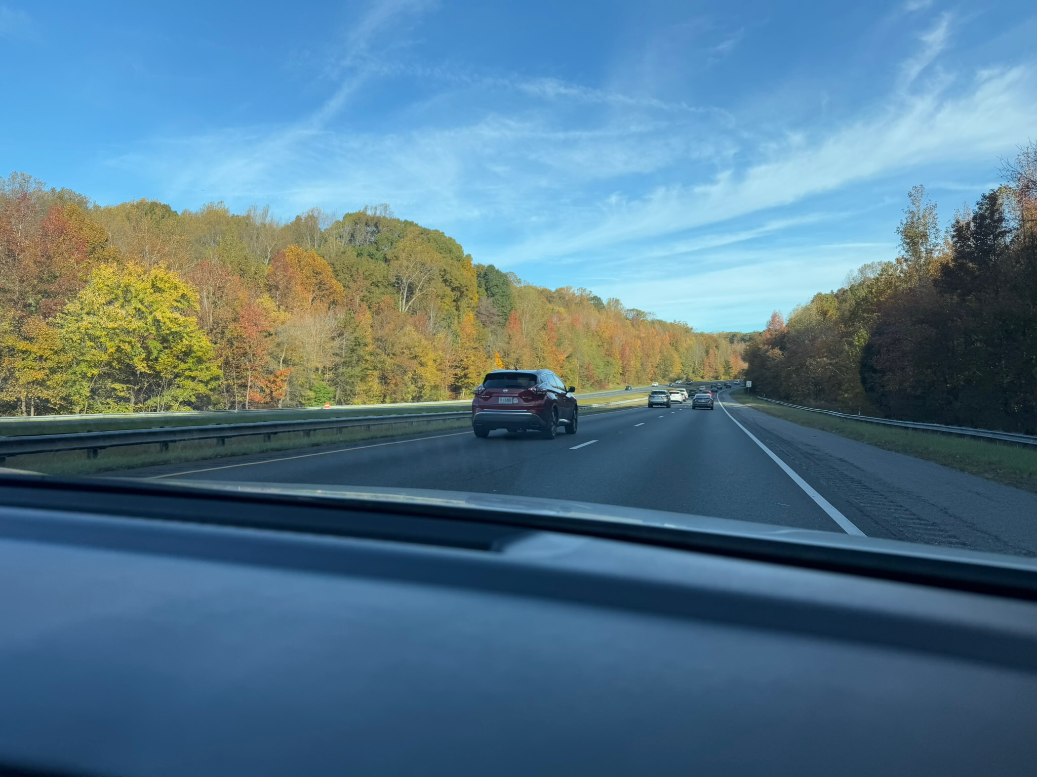
Chambersburg was 2-hours northeast of us. The drive up in an of itself was pretty. This was what the highway looked like most of the way.
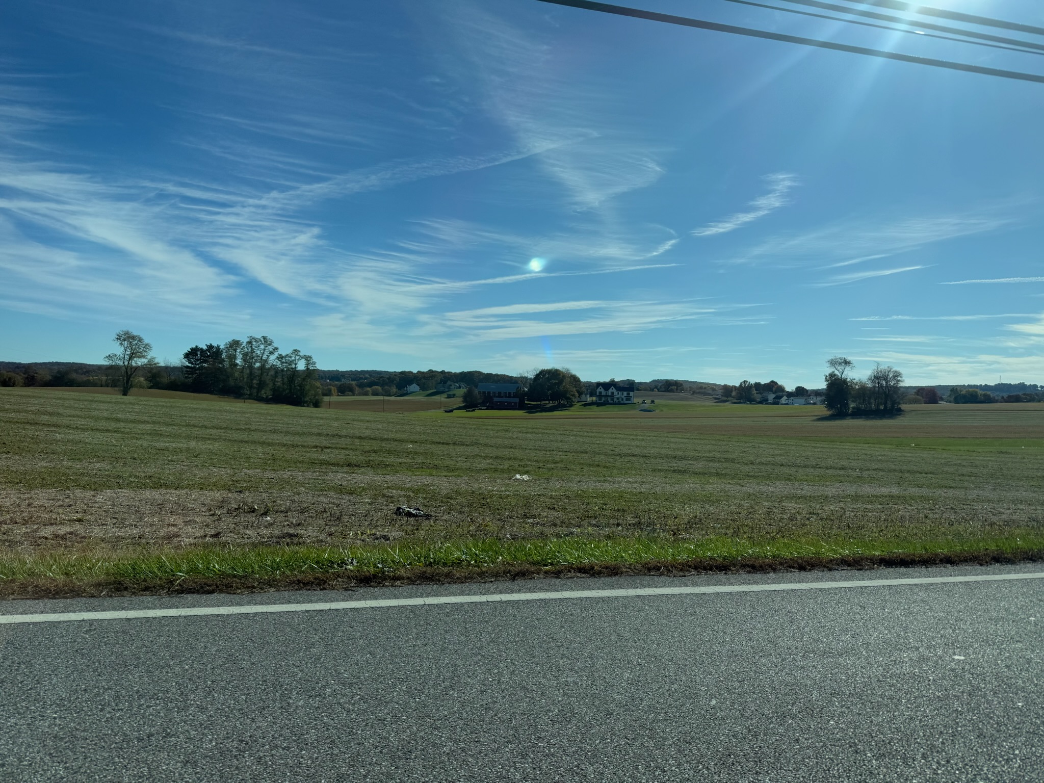
Traffic did seriously slow down outside of Baltimore, but it picked up again as soon as we passed Baltimore. We could see Baltimore from the highway, and we had nostalgia about the month that we’d spent there. Eventually, we left the highway for Highway 97, which was a two-lane road that ran through a rural area that looked to be mostly agricultural.