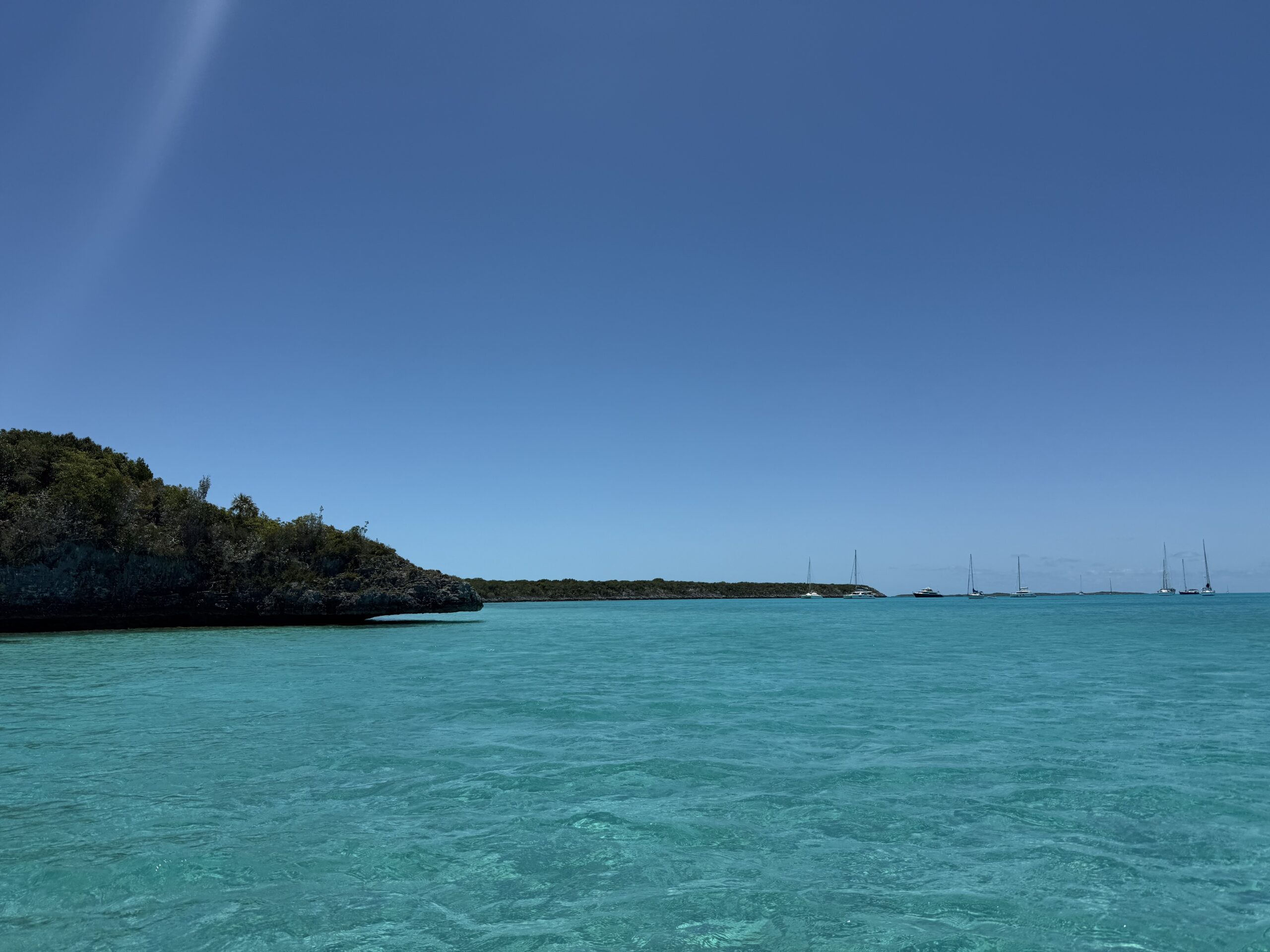
Welcome to Meeks Island, Bahamas

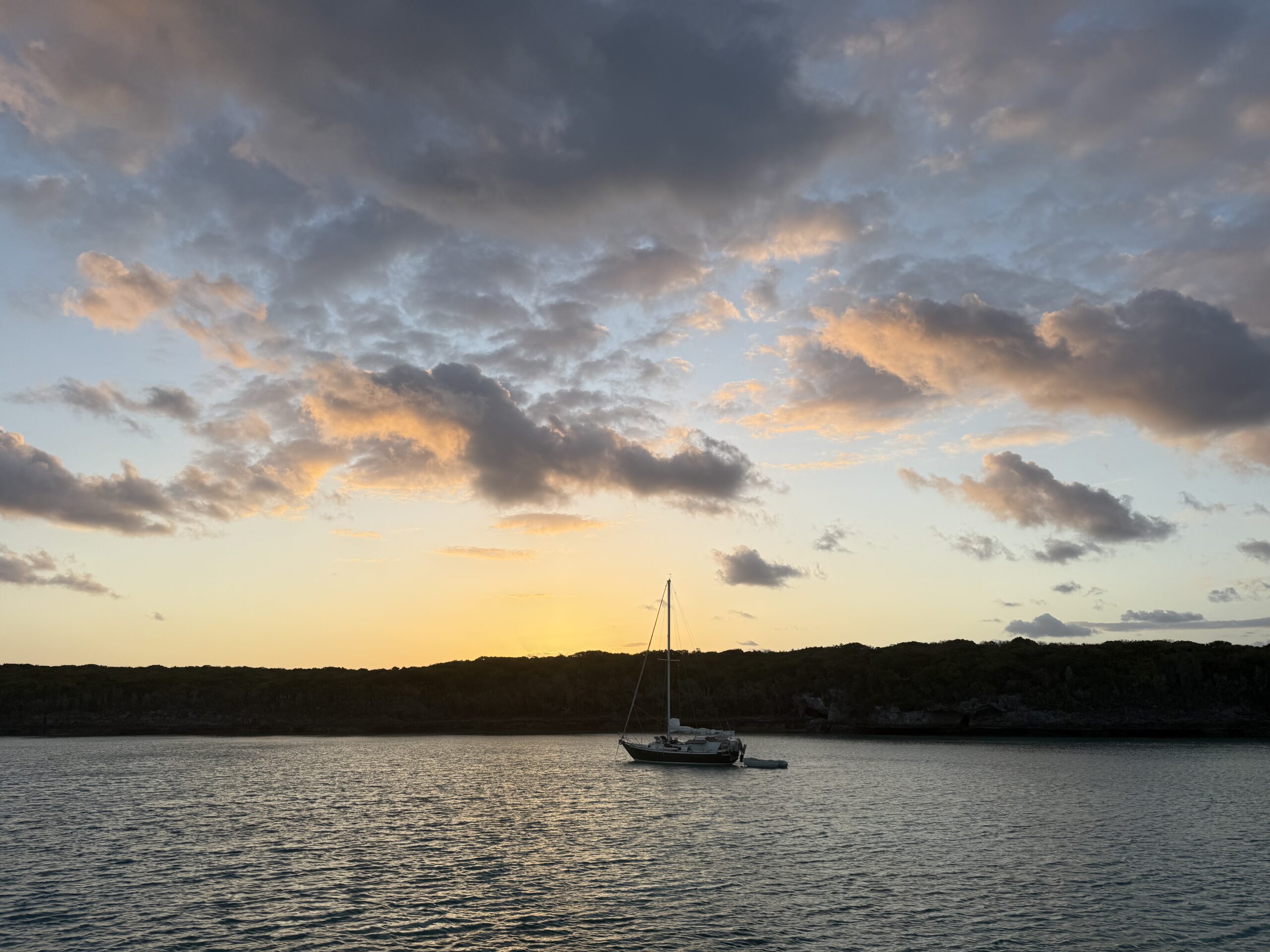
On Tuesday, April 15, we got up at 0545 to do the last minute things to get ready to go. We pulled up anchor at 0620. The sunrise was completely blocked by the thick cloud cover, but the moon did peek out between the clouds at one point. 

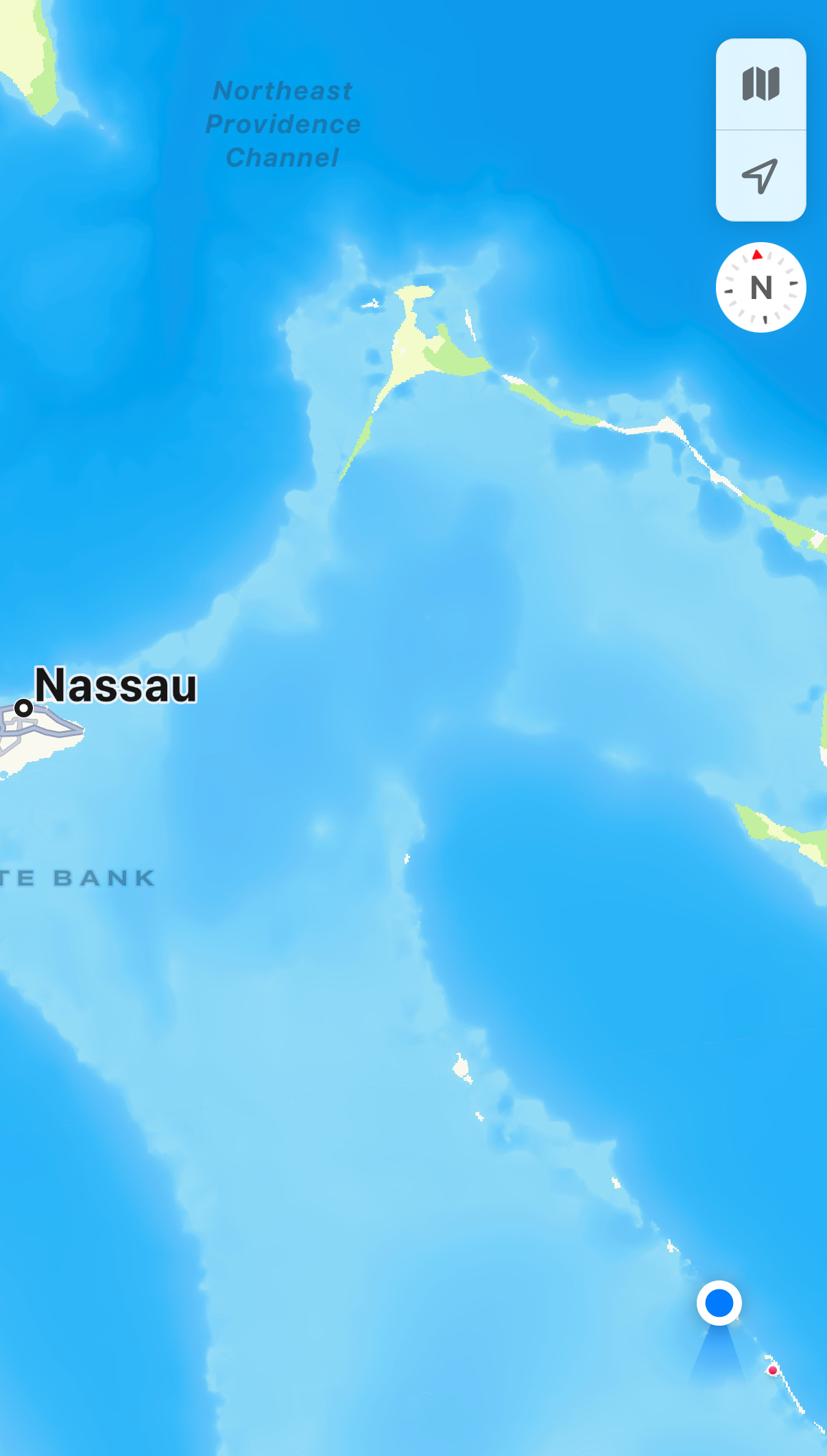
In the map below, where we left from, Governor’s Harbour, is marked to the right. Our final destination was the dot up at top left corner. The arrow points to The Cut, the narrow channel that we needed to pass through at higher tide.

Since we were in protected waters, it was a calm ride. We approached The Cut at about 1100. While The Cut itself was fairly deep, the channel leading up to it was only eight feet deep at high tide and quite narrow, necessitating that we go through the channel single file. Outside the channel, it was only 3 – 4 feet deep, so we had to keep a sharp eye on the charts to make sure we were staying in the channel or else we’d be grounded. There were four boats on our side (going east to west) that were all approaching the channel. We coordinated over the radio the order that we would line up in. We were third.  

Continue reading

Dinner at the French Leave in Governor’s Harbour, Eleuthera, Bahamas

continued from yesterday... Kosmos hadn’t drifted at all, so we decided it was safe to leave her. We got ourselves cleaned up and headed to the nearby resort, called the French Leave, for an early dinner.

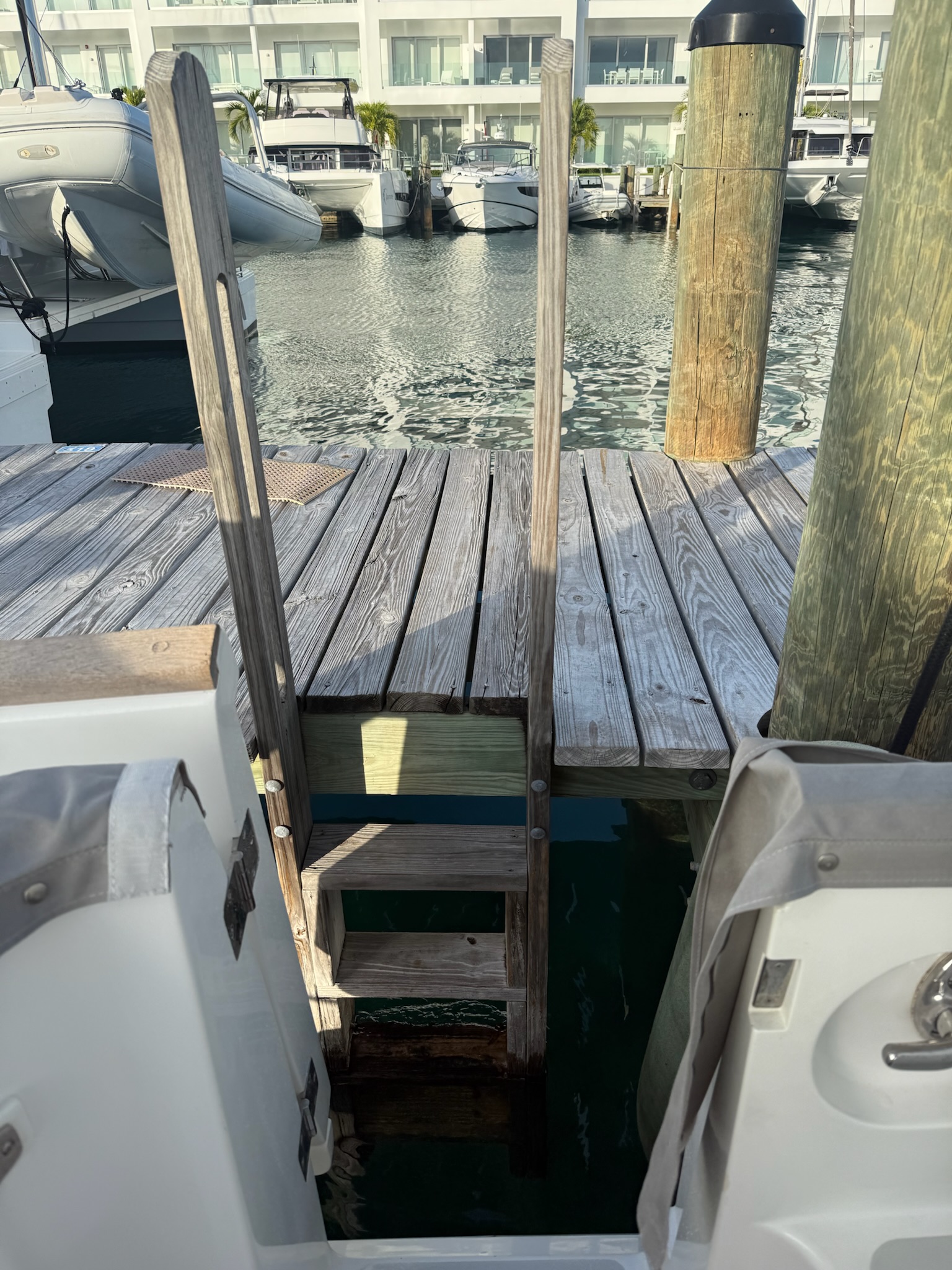
We picked it because of they had a dinghy dock (pictured above). We’d been warned that the beach landings here were problematic. This dock wasn’t exactly easy, either. The ladder wasn’t at the dock, which meant we had to unload at the ladder and manually pull Kosmopolitan over to the dock. There were several obstacles, making it a bit challenging.

The marina was the dock to the right
Continue reading

Welcome to Governor’s Harbour, Eleuthera Island, Bahamas

Sunrise on Monday, April 14

The nearly full moon was visible for quite a while after sunrise.

We again faced the same dilemma that we’d faced last week. The wind was changing to a direction that had no protection in this anchorage, and we needed to move someplace more protected. We’d picked Spanish Wells, to the north. But, due to strong currents and shallow depths in an area called “The Cut,” we could only go through “The Cut” at high tide, which on Tuesday would be 1000. 

Continue reading

Boiling Hole/Cathedral Caves and the Pink Beach, Rock Sound, Eleuthera, Bahamas

Continued from yesterday… We reached a sign that said “Cathedral Caves and the Boiling Hole.” It was a short walk down a paved path to the Boiling Hole.

The sign said that it was one of many blue holes on Eleuthera Island. This hole was connected to another blue hole, located offshore about 1/4 mile west. They were connected via a network of underground caves. As the name implied, the water in the hole bubbled and churned as the tides changed. When we walked by, it looked calm.

Continue reading