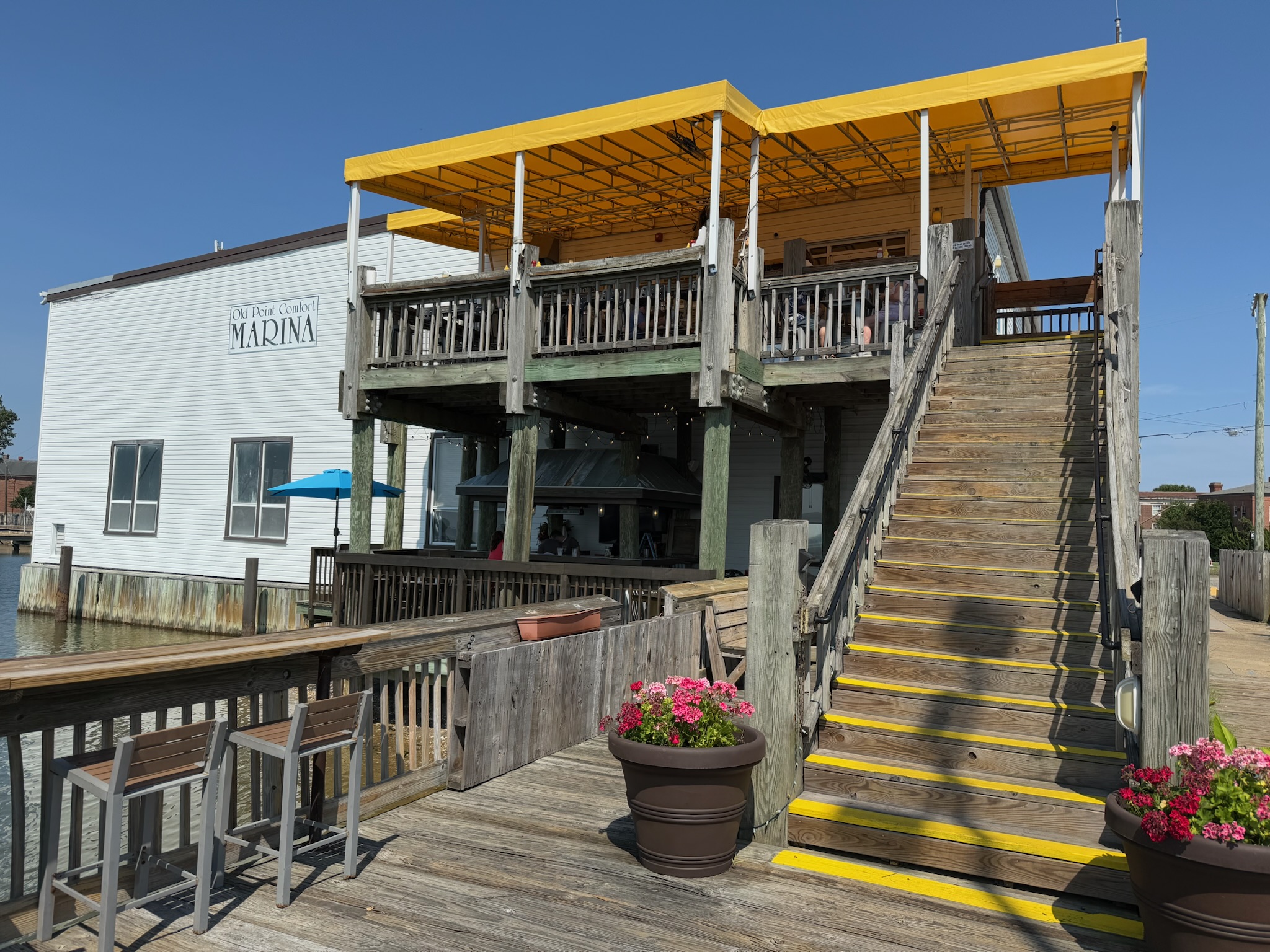
Continued… When the tour concluded, Eric and Keith announced they were hungry. They went to a nearby restaurant called The Deadrise, which was over at the marina.
The food was good and the portions were huge. Keith, who was not a seafood fan, loved the crab dip (even though it wasn’t as good as Haste Away’s).
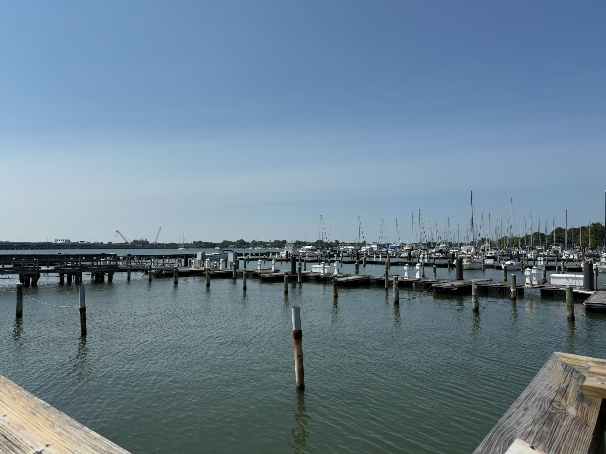
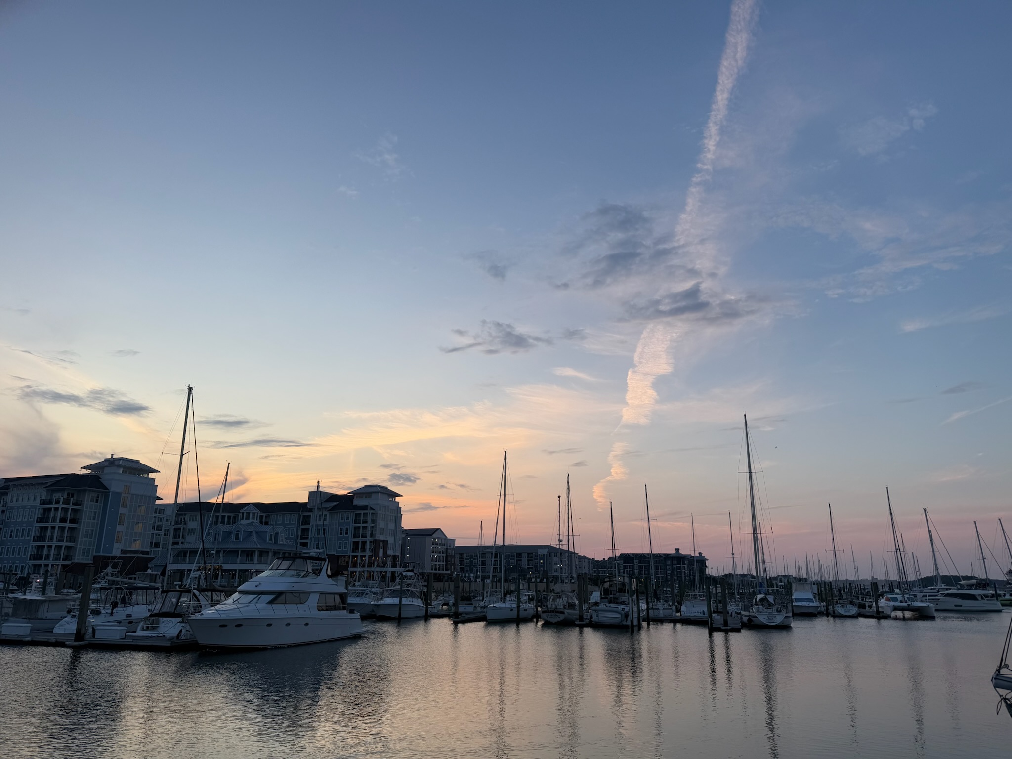
It looked like the section of the marina closest to the restaurant was closed, as there weren’t any boats in the slips. We were too far away to get a look at the part of the marina that was occupied. There was an anchorage beyond the marina that was deep enough for Kosmos. Given that it was a holiday weekend, we were surprised there weren’t more boats anchored out there.
Christi stayed at the Visitor’s Center and went on the 1500 tour. It began much the same as the 1400 tour had. But instead of stopping at the entrance casement, the group walked on to the four-acre parade ground.
On Friday, July 4, Eric started the day by doing an inventory of spare parts we had onboard. He created a list of spare parts that we need to stock up on.
Karen had told us that Fort Monroe was having special events today. The events started at 0845 and ended with the biggest fireworks show in Virginia at 2115. We figured it was fitting to spend Independence Day at Fort Monroe since it was one of the most important locations in early American history and a pivotal part of winning the War of Independence. As the bird flies, the fort was on the southern tip of a peninsula just a little bit northeast of Morningstar marina, and to get there by car, we went through a tunnel under the James River.
The tip of the peninsula that Fort Monroe sat on was named Old Point Comfort. The king of England had authorized a colony to be established in Virginia, and Old Point Comfort was the first place the new settlers had stopped upon entering the Chesapeake Bay in 1607. They picked the name Poynt Comfort because it was a deepwater port that was safe for ships, and the local indigenous people were kind to the newcomers. The signs didn’t clarify when the “Old” was added to the name.
The settlers wanted to set up their new colony there, but the charter issued by the king had ordered them to go farther inland, so they set up Jamestown farther northeast. Two years later, the colonists realized that since the mouth of the Chesapeake was visible from Poynt Comfort, it was an important lookout point to watch for any Spaniards or Portuguese invaders, so they built a fort at Poynt Comfort.
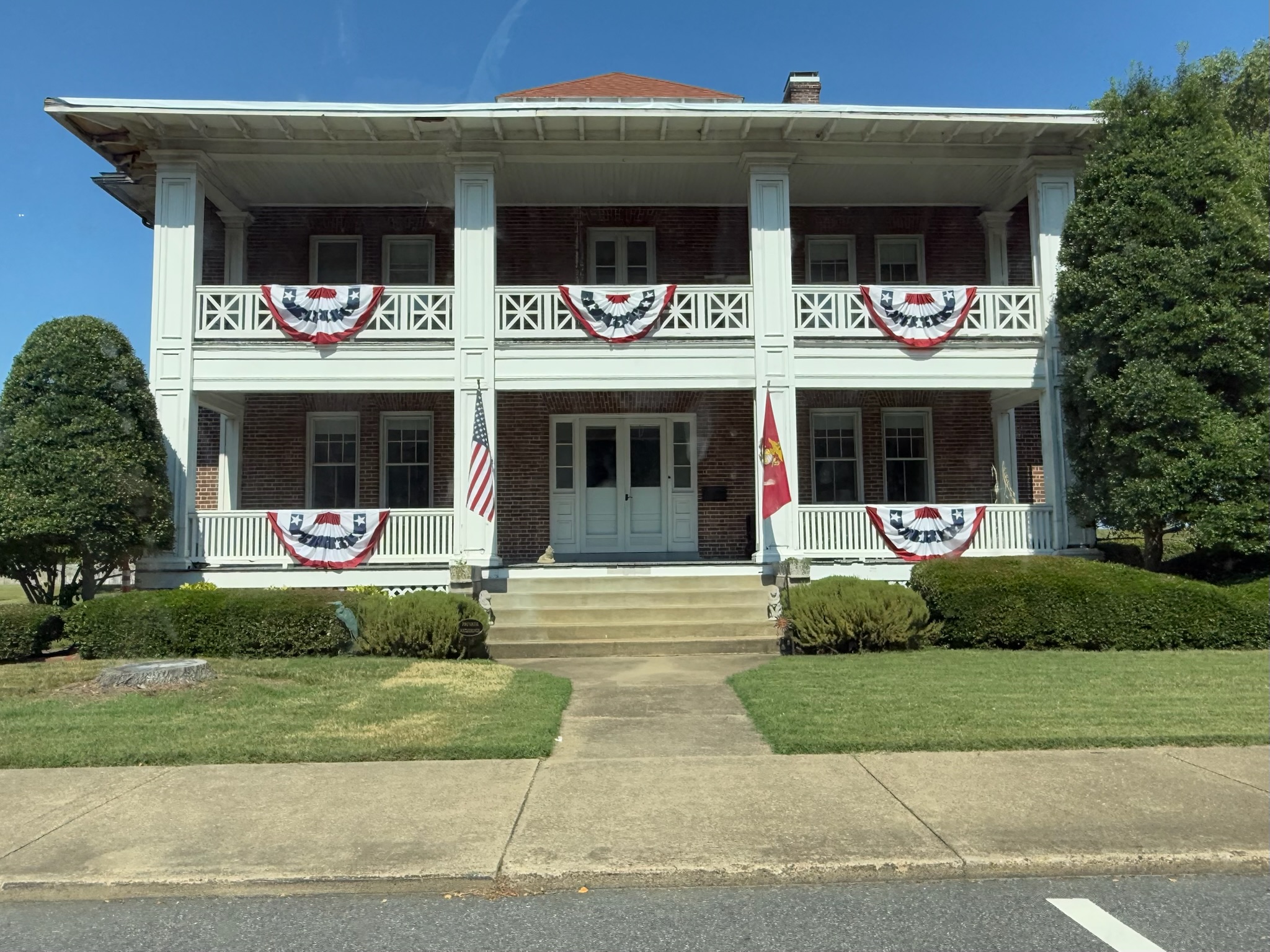
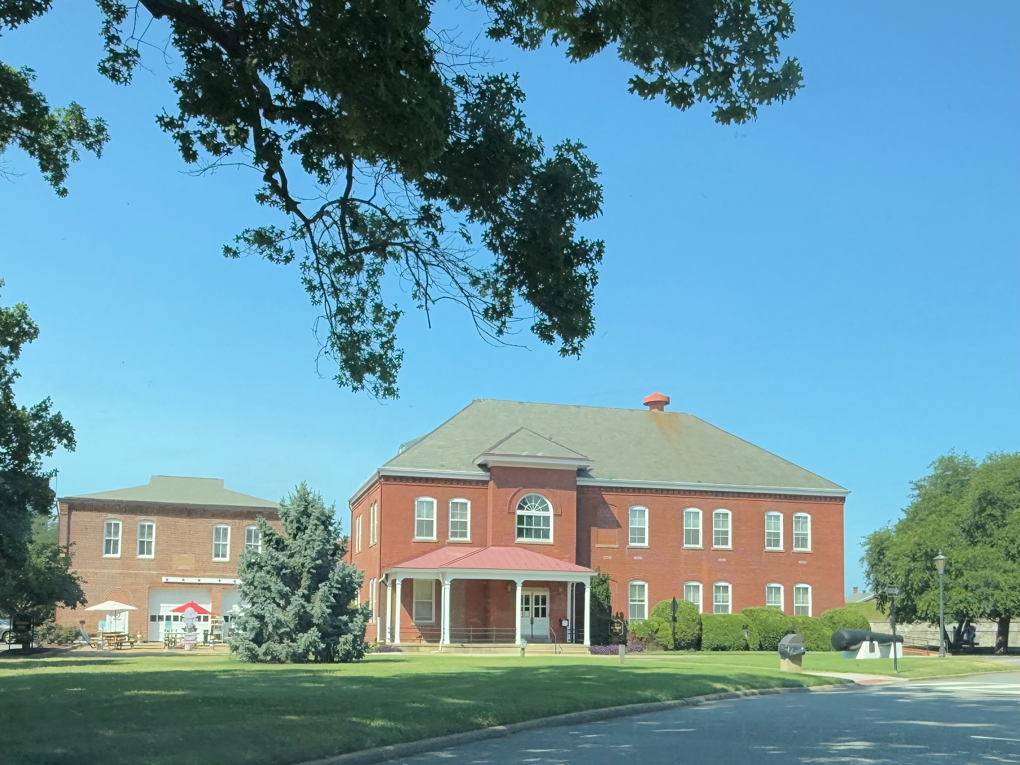
As soon as we drove into the fort, we were struck by how it didn’t look at all like a modern military base. The bases we were used to seeing had blocky, utilitarian buildings. We passed dozens of charming old brick buildings. Most appeared to be residential buildings, and they looked occupied.
This morning, Eric went to a hydraulic service center near downtown Norfolk, which was southeast of where we were in Little Creek, to buy the proper size fittings for the new transfer pump. Eric wasn’t happy with the selection, so he went to another store in Portsmouth with better selection. Little Creek was surprisingly far from downtown Norfolk, and downtown Portsmouth was surprisingly close to Downtown Norfolk, though to get there, he had to take a toll tunnel under the Elizabeth River. When he got back to Kosmos, he went to work on replacing the transfer pump. Much to his chagrin, the fittings were the right size, but were the wrong configuration for the space it needed to go into. Since he had to go back to Portsmouth to exchange the fittings anyways, we made plans to meet some people over there.
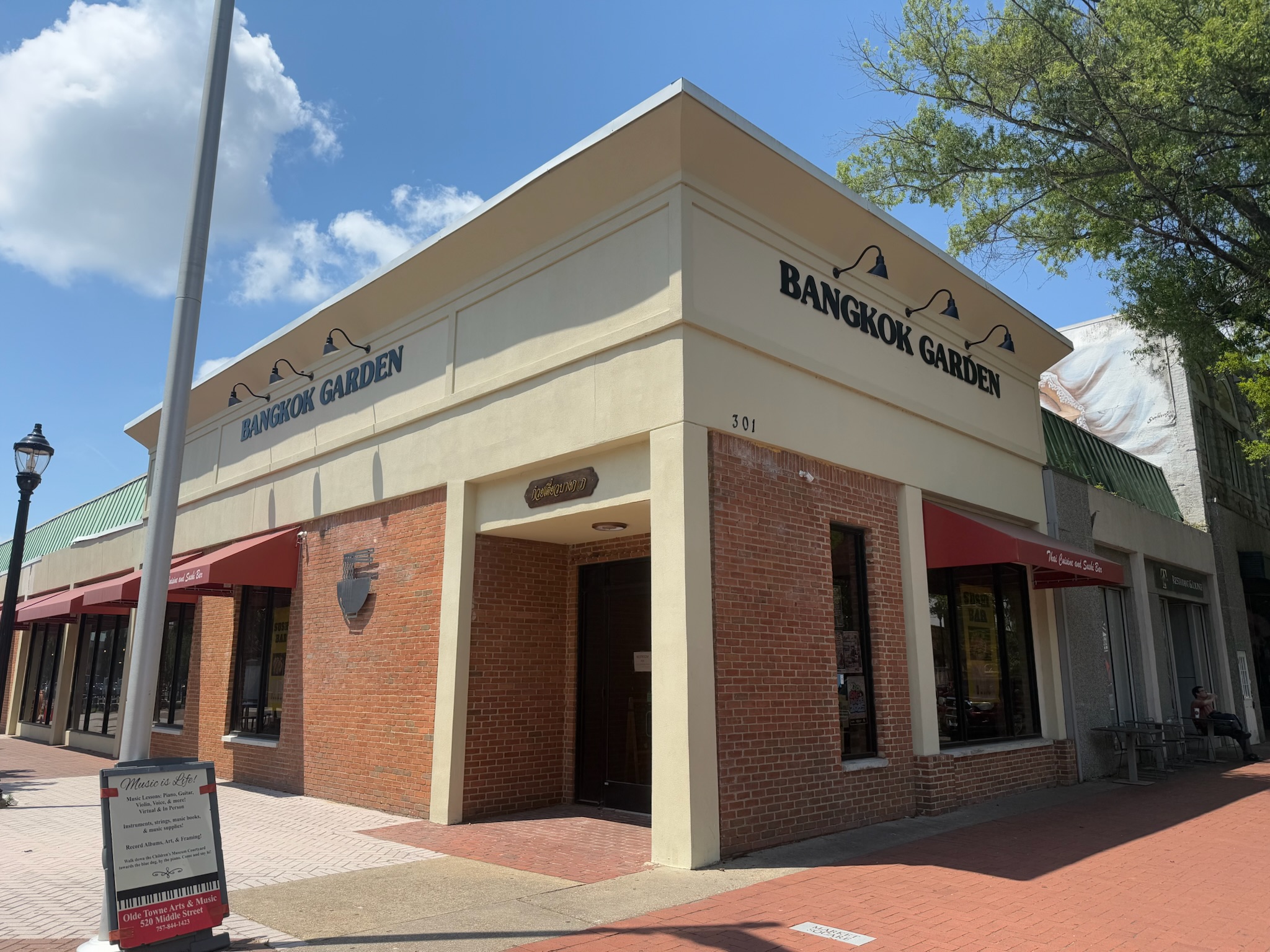
We have another friend who moved to Virginia, Ed. Ed lived a couple of hours away from Norfolk, so Portsmouth was a tad bit shorter of a drive for him. He met us for lunch in Portsmouth, at a Thai restaurant in the Town Square, which was the heart of historic Portsmouth.
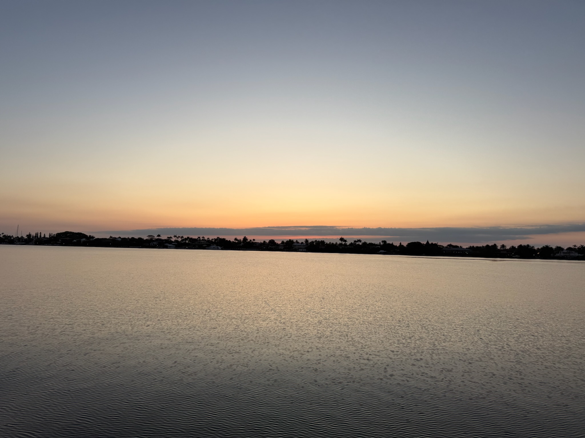
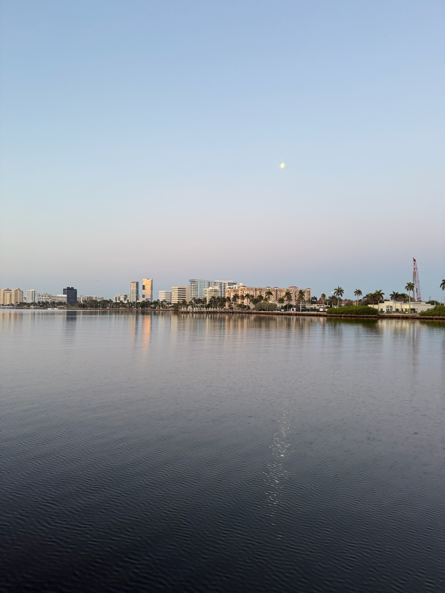
Thursday, May 15, continued… We traveled south down the channel, taking in the scenery as the sun rose. The barrier island between us and the ocean was the infamous Palm Beach. Palm Beach was the first tourist destination in Florida, with three fancy hotels that catered to high end guests. As it blossomed into a city, it became known for wealthy and powerful inhabitants, including former President Kennedy and current President Trump. Initially, we passed mostly lower buildings that looked like houses, though we did eventually pass a cluster of larger buildings (though no hi-rises) that looked like they may be hotels.
The mainland side was West Palm Beach, which, in the early days, was purpose built by one of the hotel owners to be a blue-collar area where the hotel staffers lived. Nowadays, it’s also an expensive zip code. It had a lot of high rise towers with an assortment of other types of structures in between, as well as several marinas.