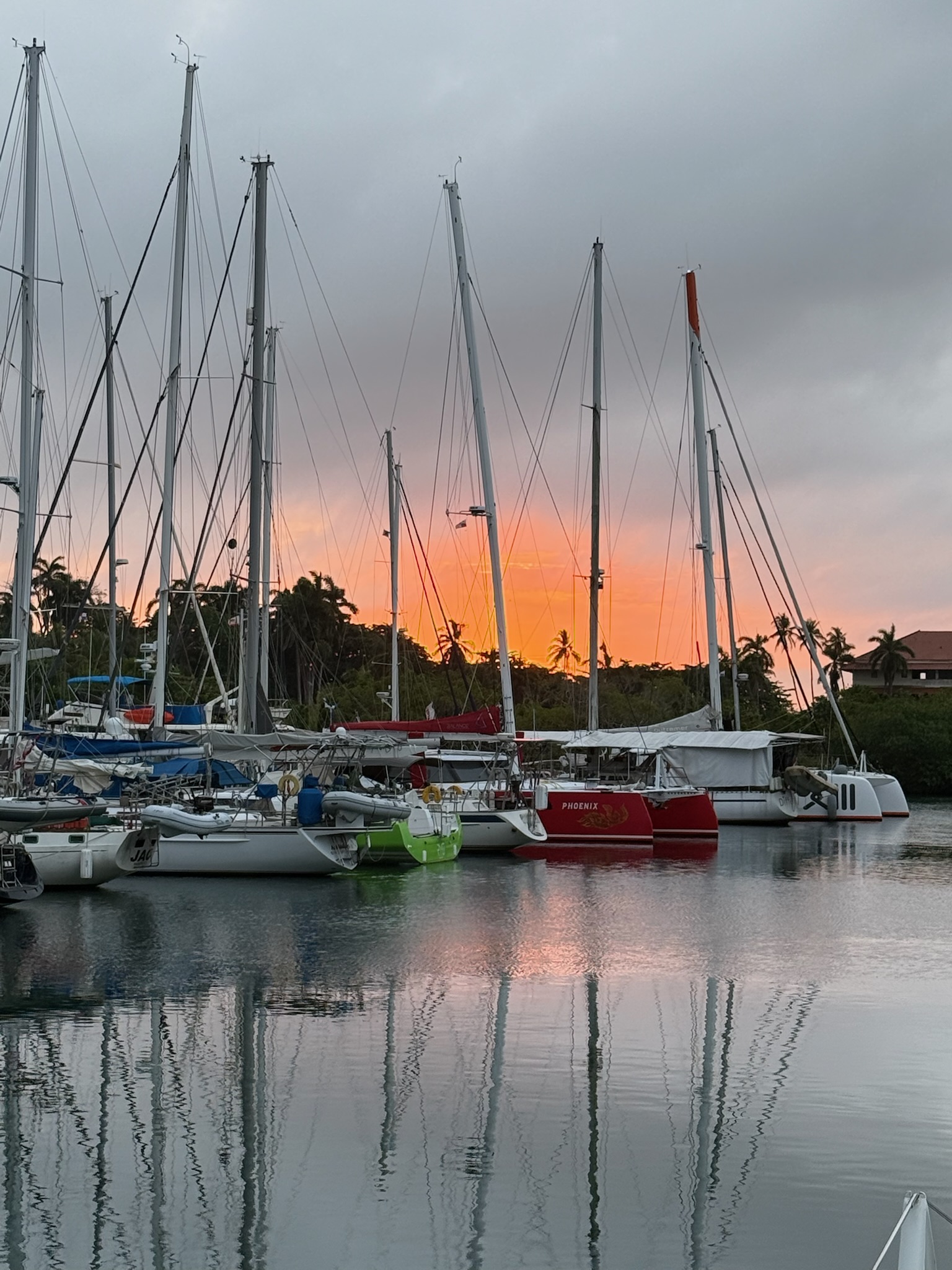
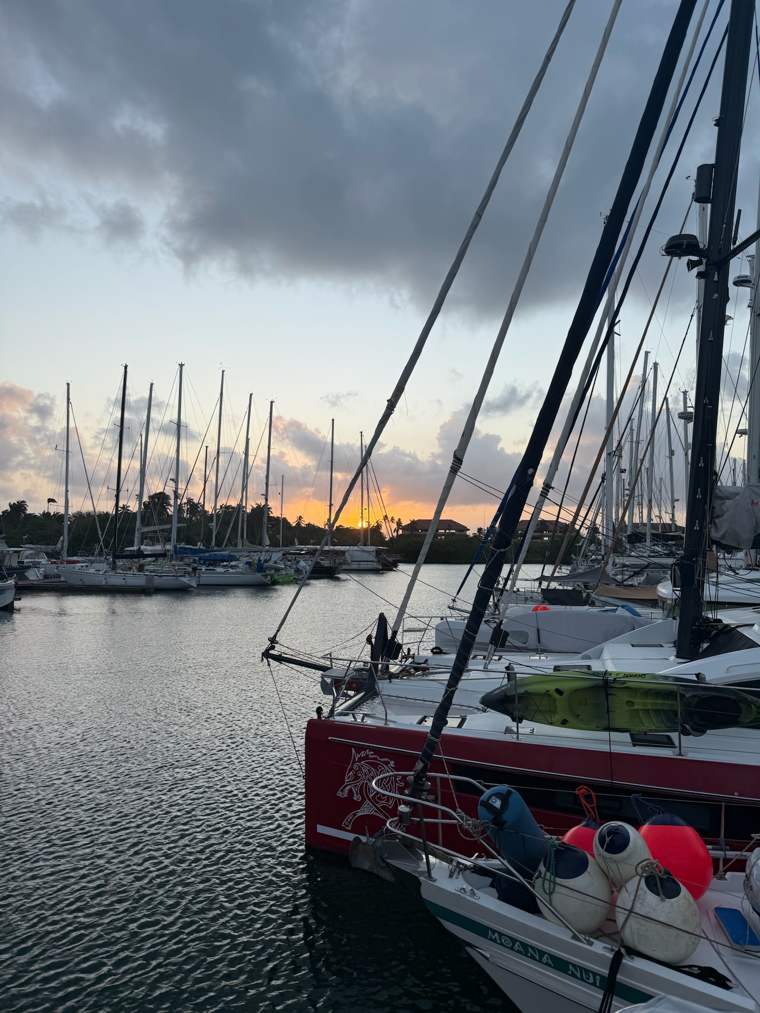
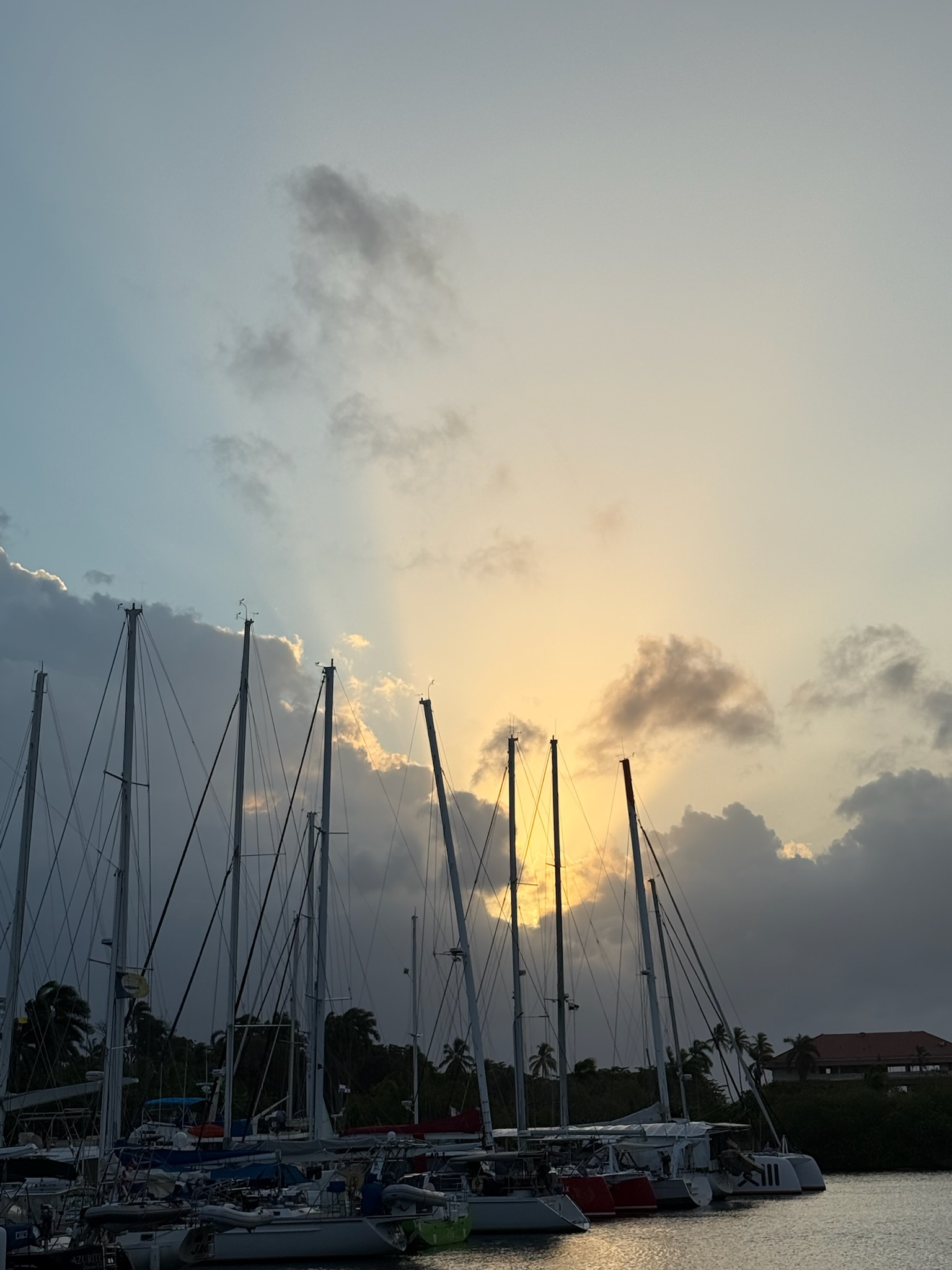
On Saturday, February 22, the sun was about to peek over the horizon when the giant black cloud to the left blew in front of it and blocked the sunrise completely.
This morning, the water was still not working. The dockmaster assured us that this time, he was being more proactive. He was making arrangements for water trucks and working on a strategy on how to get the pressure up enough to ensure that the water made it to the boats. However, the plan didn’t need to come to fruition because water was restored in the mid-afternoon.
In the afternoon, Eric led another kids D & D session. Afterwards, the kids went to the pool and Eric joined them.
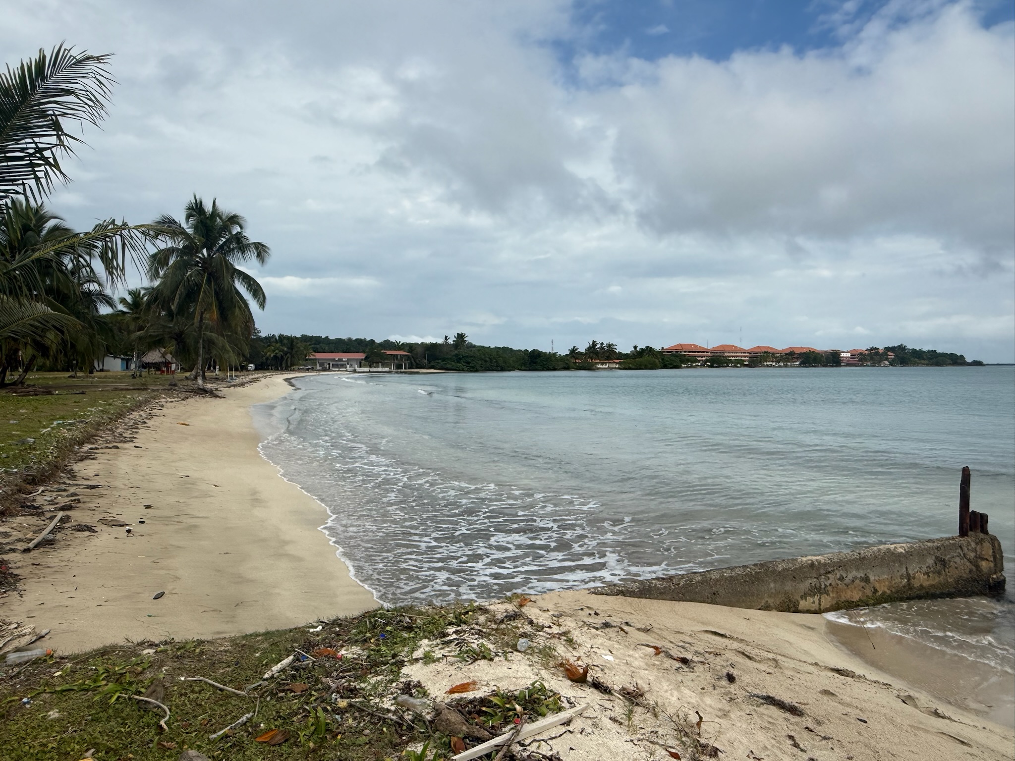
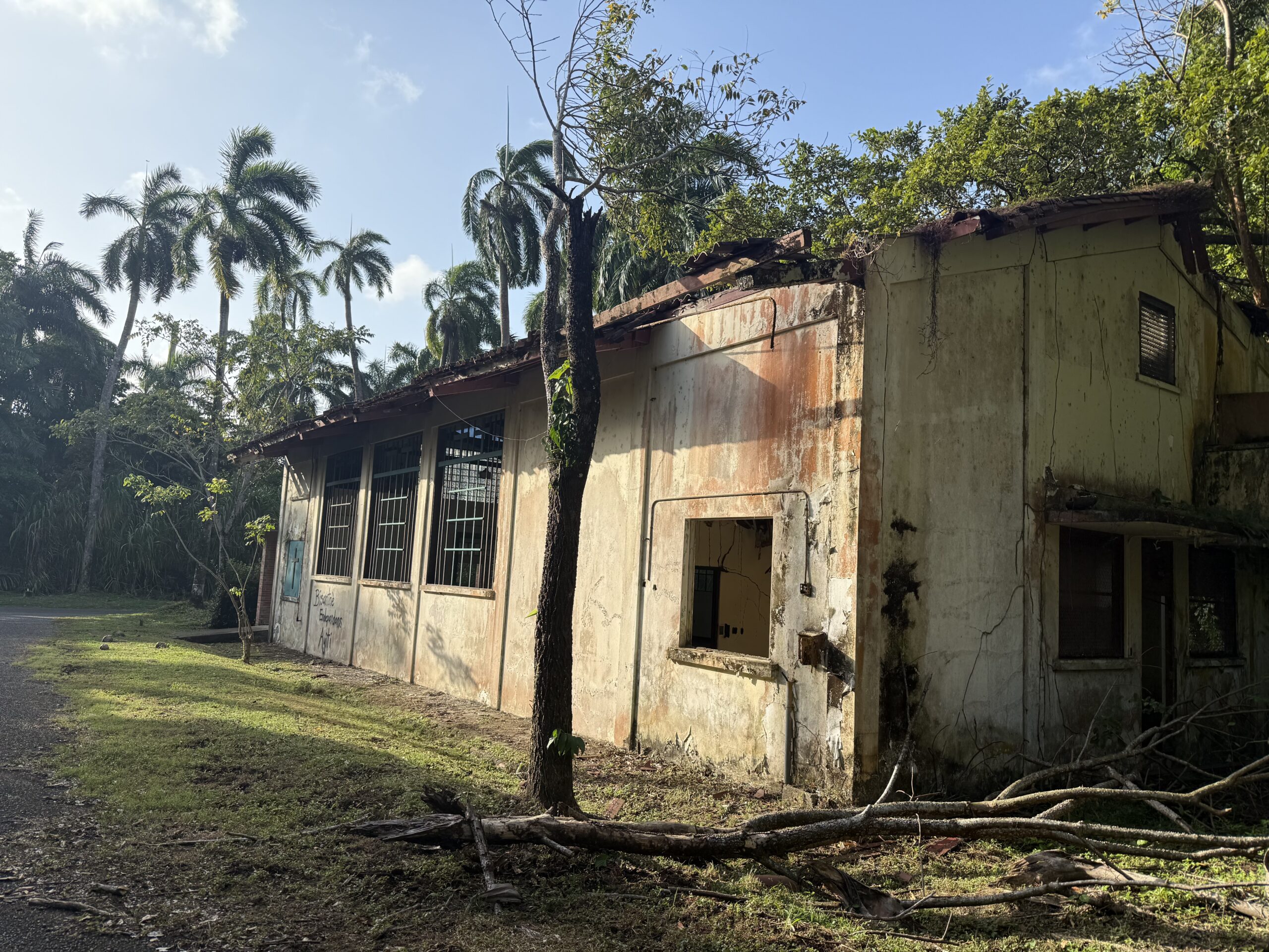
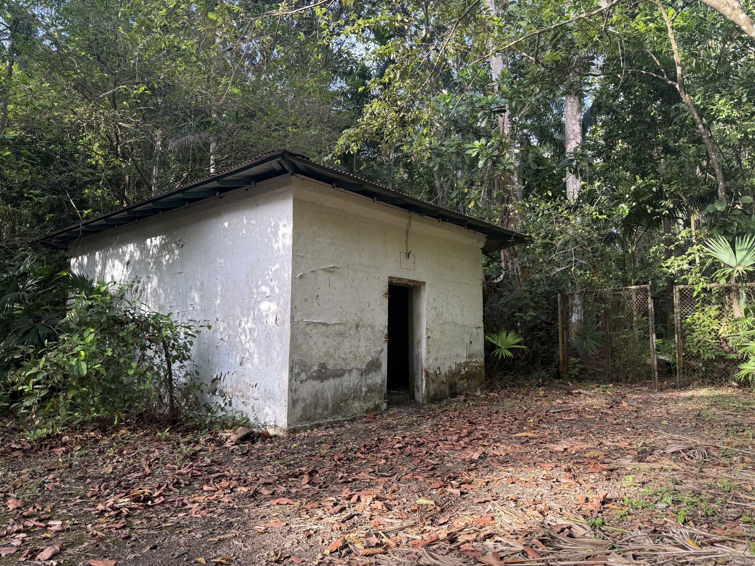
While they were playing, Christi decided to explore more of the ruins that we’d seen along the road to Gatun Bridge. We’ve already mentioned that the marina was directly northwest of what had been the military air strip, which was now used as a Panamanian Coast Guard base. The majority of the Coast Guard Base was set back from the road, and there were several ruins along the road that were not currently utilized by the Coast Guard.
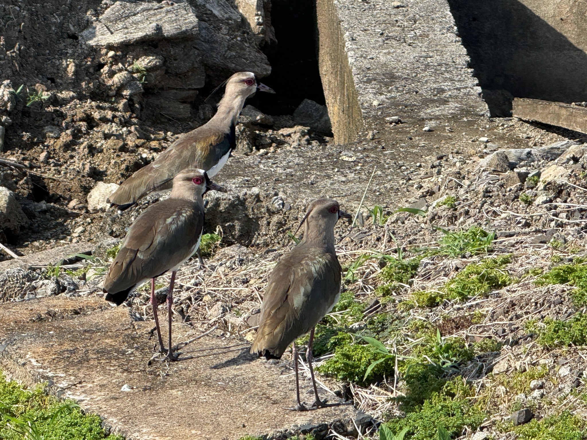
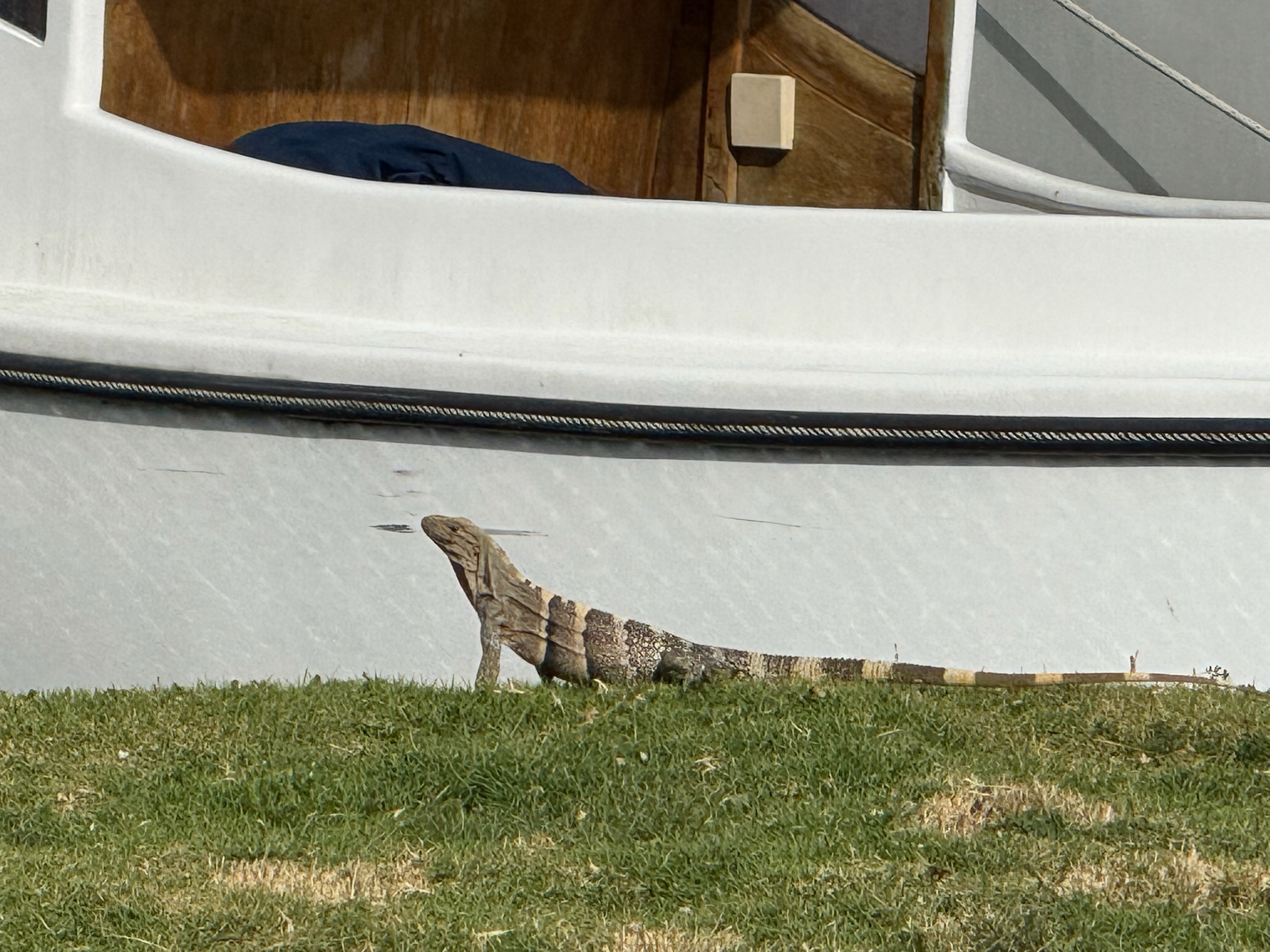
Where the road turned south, Christi spotted some birds walking around. What made the species noteworthy were the red, beady eyes, which made them look a little zombie-esque. We’d seen some of them at the beach on Wednesday, and as they walked amongst the trash near the derelict buildings, they’d only added to the creepy feeling of the beach that day.