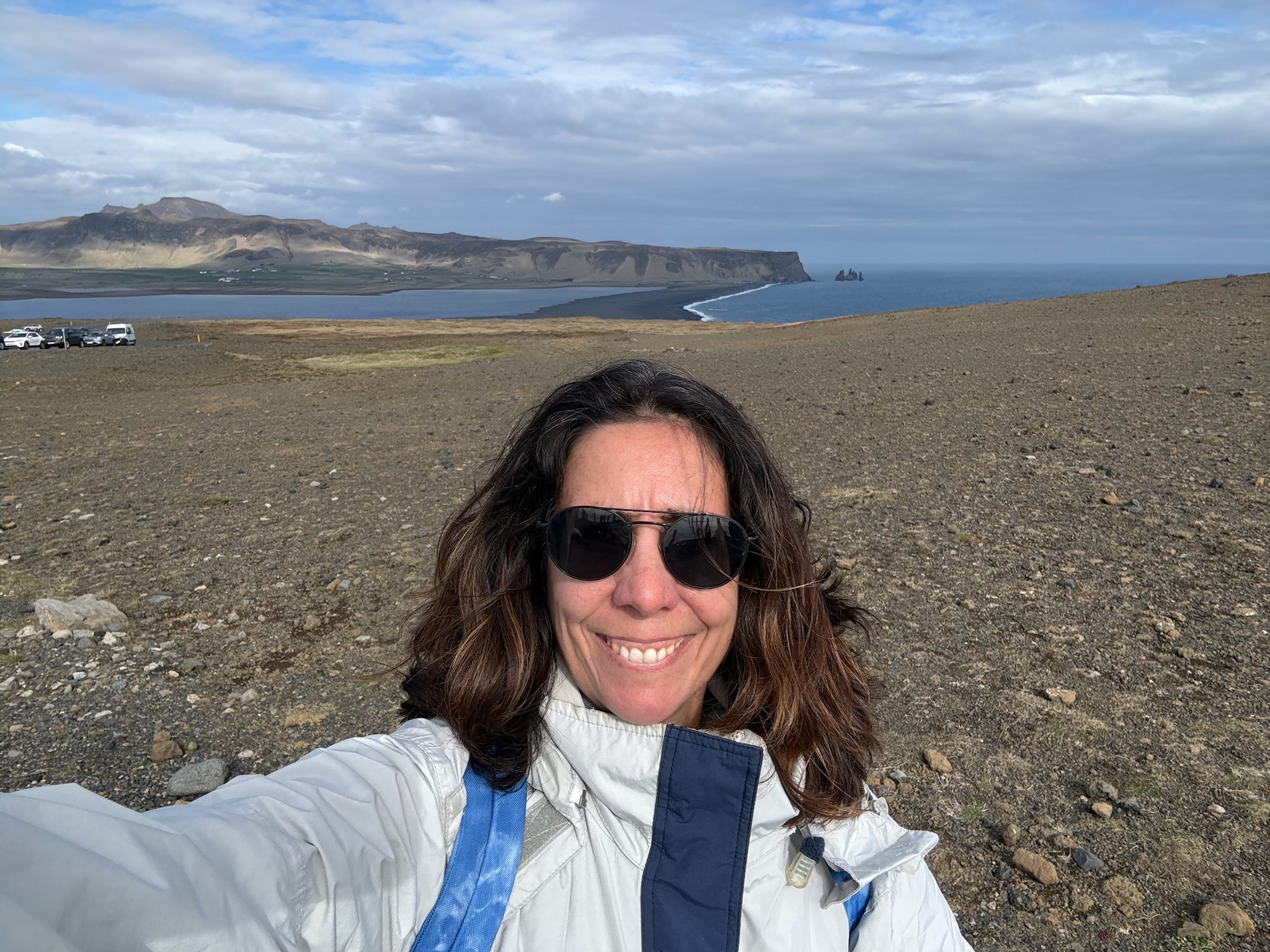
continued... We got back into the car and made the relatively short drive to the ticket booth for the Vatnshellir Cave.
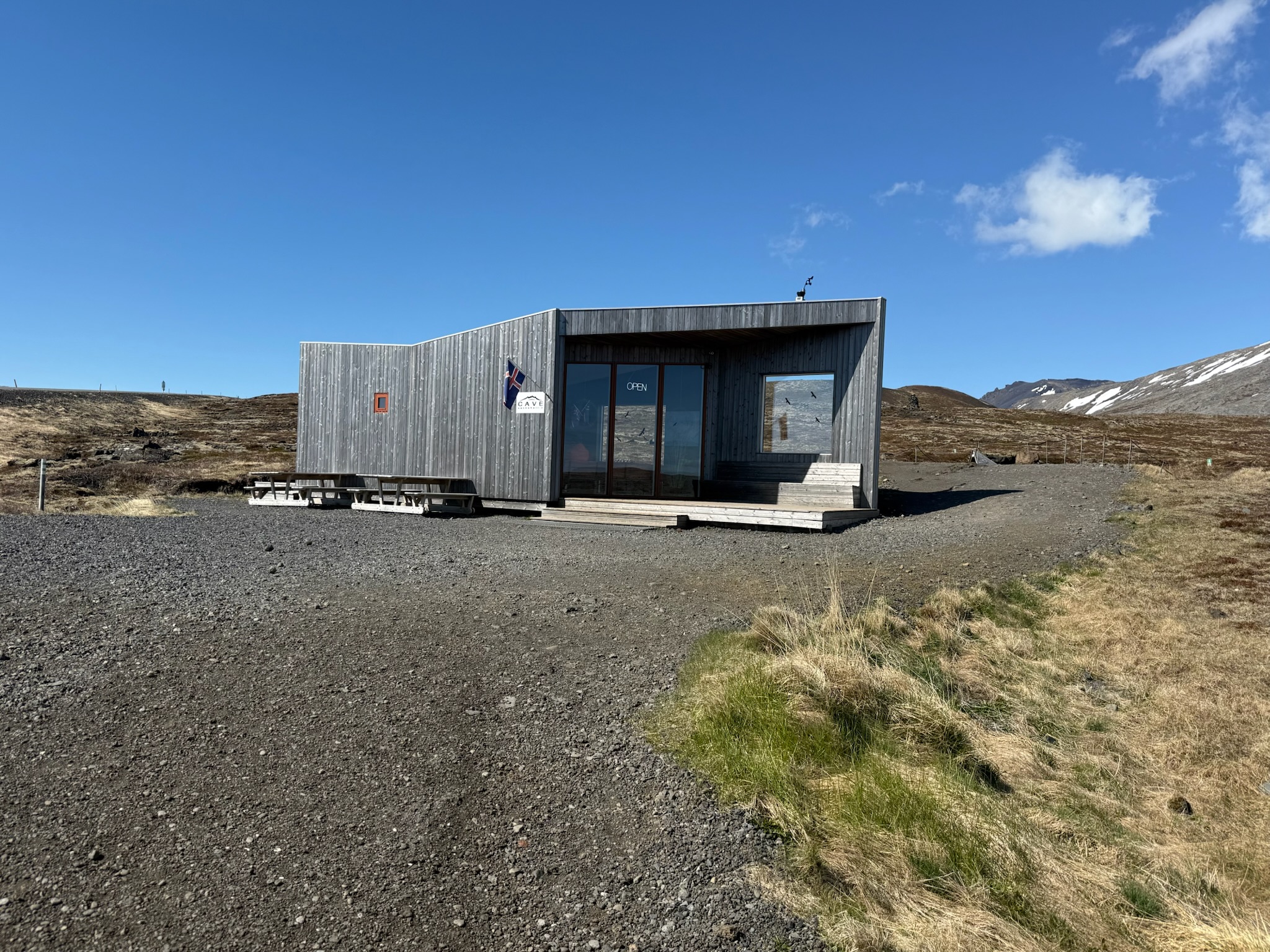
Here was a view of the parking lot and Londrangar Cliffs from the ticket booth.
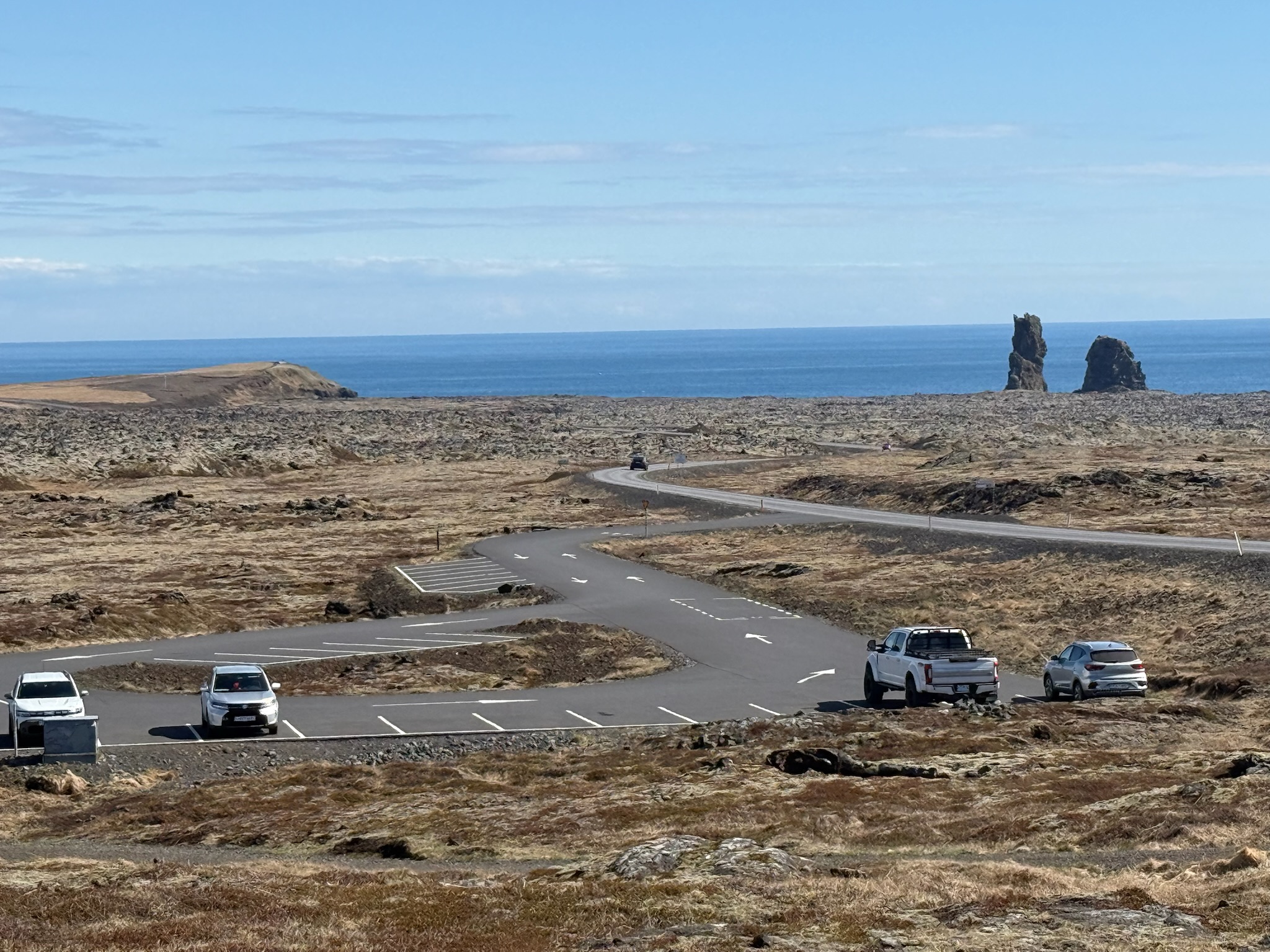
continued... We got back into the car and made the relatively short drive to the ticket booth for the Vatnshellir Cave.
Here was a view of the parking lot and Londrangar Cliffs from the ticket booth.
continued… we headed to Snaefellsjokull National Park. It was a relatively short drive from the gorge. We didn’t have to turn off the road to enter into the park — we merely drove past a sign that said Welcome to the Park. Nor were there any fees to enter.
The Snaefellsjokull National Park was established in 2001. The Snaefellsjokull Glacier was the park’s centerpiece, and the 66 square miles (170 square kilometers) of the park surrounded the glacier and some of the nearby seashore. The glacier was situated on top of a 700,000-year-old stratovolcano, and together they were 4,744 feet (1,446 meters) tall. The mountain has been built up by repeated volcanic eruptions over roughly the last 800,000 years.
Scientists believe that the bottom layer of the Snæfellsás peninsula formed 3-million years ago from lava fields. The next layer was sedimentary rock that formed during the subsequent ice ages. The upper layer was lava that flowed from the 20+ eruptions that occurred over the last 11,000 years. The last eruption was about 1,800 years ago, and the volcano was still classified as active. Currently, the glacier covered around 10 km2, but that number ebbed and flowed with the weather.
We did turn off the main road to drive to a viewpoint in a small village along the waterfront called Hellnar. On the way, we stopped because we saw a couple of signs along the side of the road. We were glad we’d stopped, as this was also a lovely viewpoint. Looking towards the ocean and Hellnar.
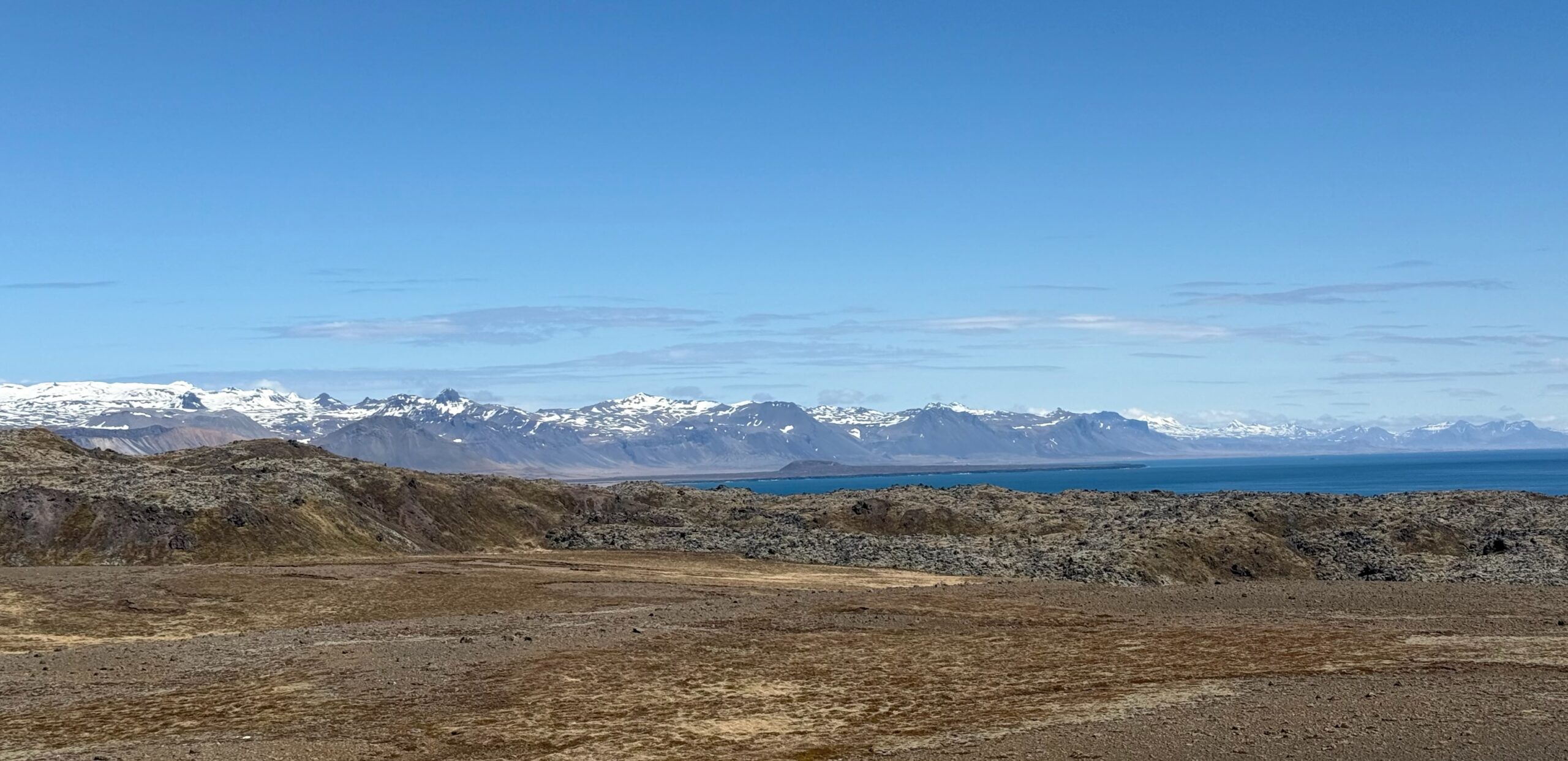
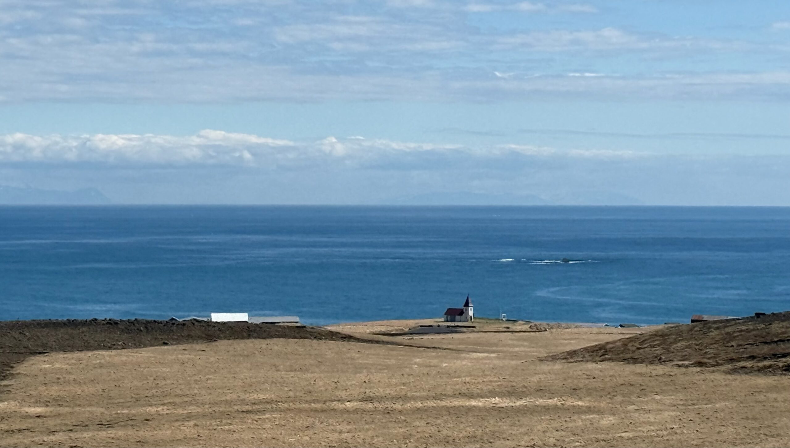
And looking up at the glacier.
Continue readingcontinued… We piled back in the car. It was a relatively short drive to our next stop, Raudfeldsgja Gorge. This was the view from the parking lot (and parking was free). It was hard to see in this photo, but if you look closely, you can see there was a waterfall flowing into the crack in the middle of the rock.
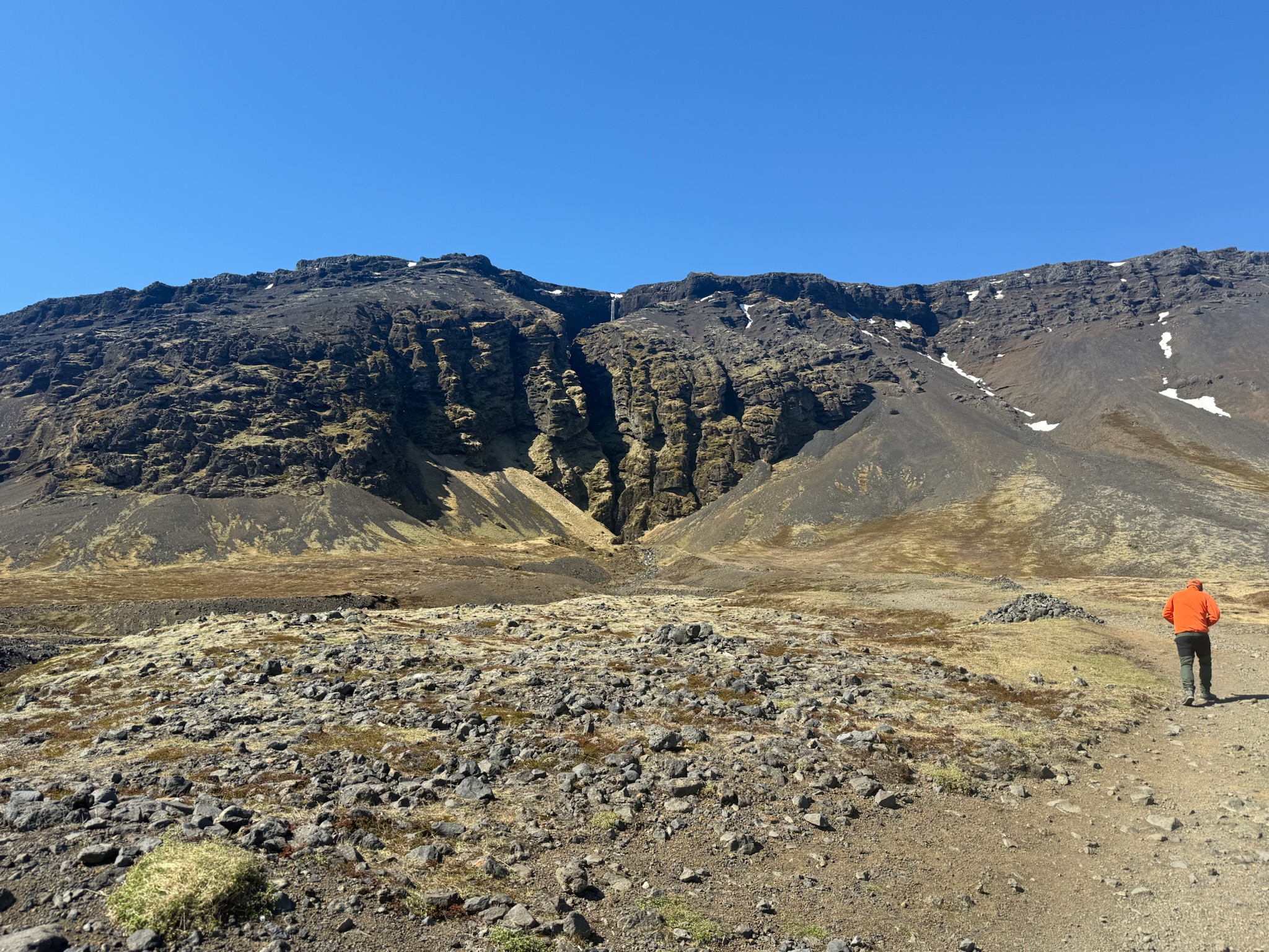
Per the sign, it was named after a character in a traditional folklore story. According to the legend, Raudfeldsgja pushed his cousin onto an iceberg and she floated to Greenland. Her father and his uncle, Bárður Snæfellsás (who was believed to be half-man, half-troll), murdered him here in retaliation. We were noticing a pattern that Iceland’s culture was kind of dark.
Anyway, the gorge appeared to be another hawng, like Gljufrabui at the Secret Waterfall. Neither Keith nor Eric wanted to hike up to see the waterfall, but Christi was excited to go. This was the path up. You can see the stream made by the waterfall runoff to the left.
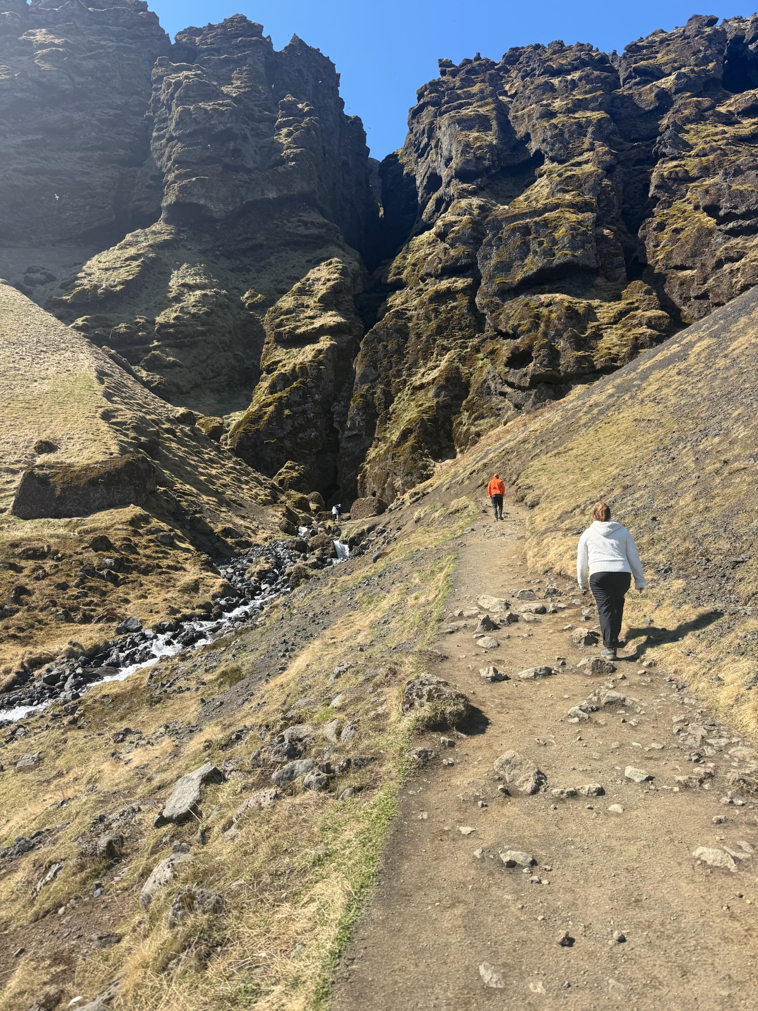
Entrance into the hawng.
Continue readingTuesday, May 19 – The poor sleep we’ve been getting here in Iceland was making it difficult to get moving in the morning. We got off to a late start. For breakfast, we took the car to a bakery in a shopping center in the suburbs. Parking was free and abundant.
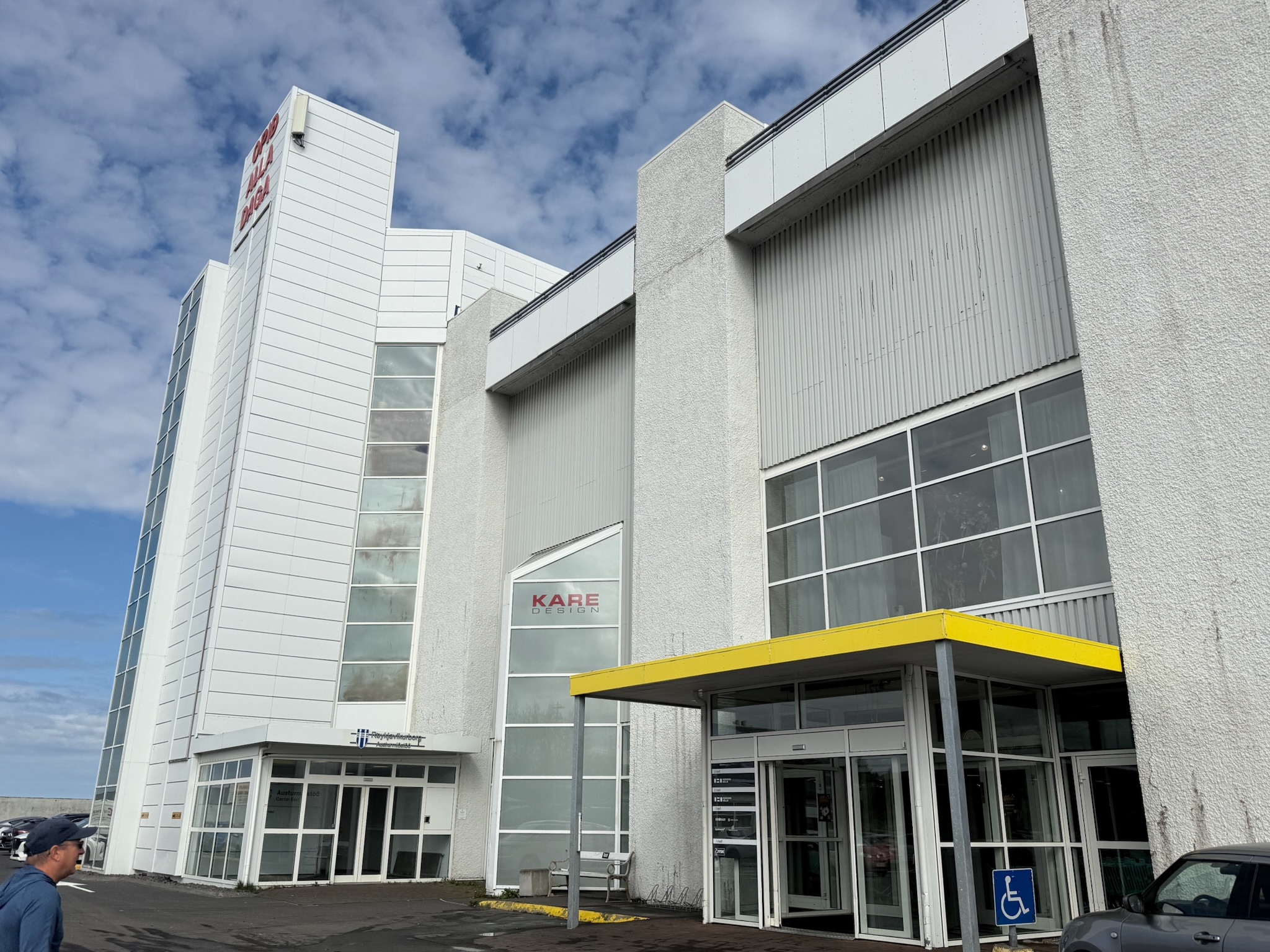
We realized the bakery was part of a local chain. The signs were all in Icelandic, with no English. But the people behind the counter spoke English and were happy to explain what was in the assorted goodies. This bakery was about half as expensive as the places we’d gone to downtown.
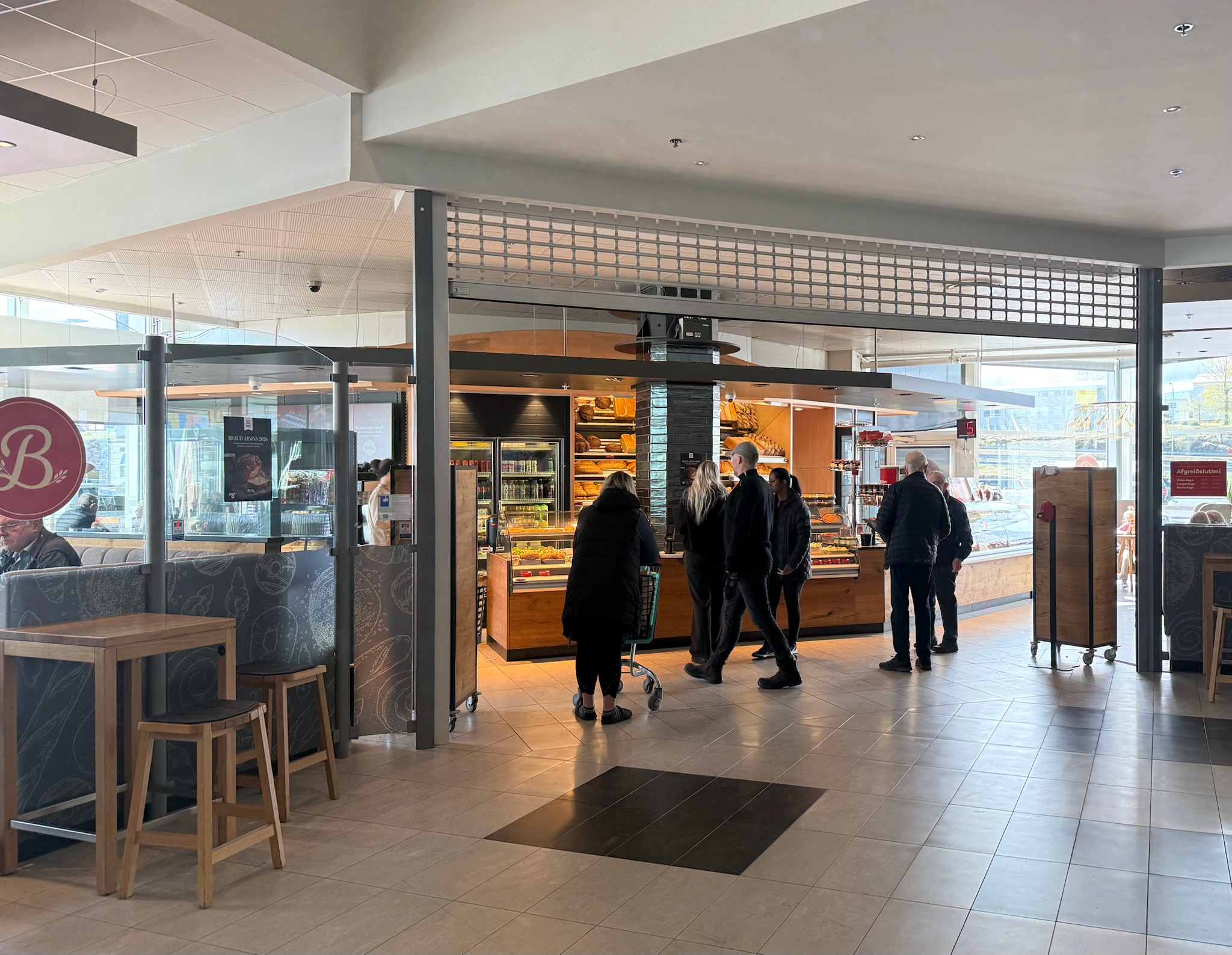
The food was great. We’ve been blown away by the food here in Iceland — we haven’t had a single mediocre meal, let alone a bad meal. Once we finished eating, we set off, this time heading north on Highway 1. It was another beautiful day, sunny and 49 degrees Fahrenheit (9.44 celsius).
Continue readingcontinued… We walked down the path towards the ocean.
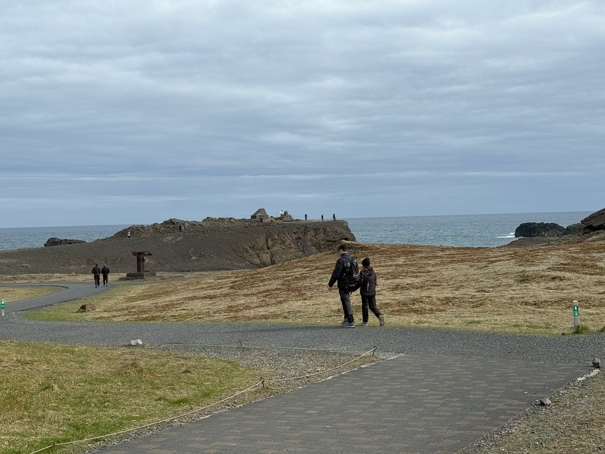
According to the sign, Dyrhólaey was believed to have formed 80,000 years ago in a submarine eruption, and was originally a separate island. Over the millennia, the sea level has reduced. The lowering sea level exposed the land between the Dyrhólaey and the main land, so now it was a promontory (we had to look that word up, too. It meant a high ridge of land or rock jutting out into a body of water). It was 120-meters tall. Here was a shot of the ridge of silt built up in the water. Note the line of cars on the left that were waiting for someone to leave so they could enter the parking lot.