The Golden Circle Tour: Thingvellir National Park in Iceland

Friday, May 15 continued… The Golden Circle was the most popular tour in Iceland, and these two busses were a private tour group only for the partners/families of the conference attendees. Keith was hoping there would be other teens aboard that he could hang out with, but the person closest in age was 20. And we knew that because he’d shared his age while telling us that he was overjoyed that he could legally drink alcohol here in Iceland (he was American, and in the US, the legal drinking age was 21).

As we left the city, the bus driver said that Reykjavík was originally a small fishing village surrounded by potato farms until 1940. In the midst of World War II, then British established a military base. A year later, the US took control of the base and operated it until 2006. Reykjavík grew up around the base to service the military staff. He told us a lot more about the history of Iceland, as well, but we didn’t remember the other details. He made a lot of jokes and was hilariously funny, so it was a fun ride.

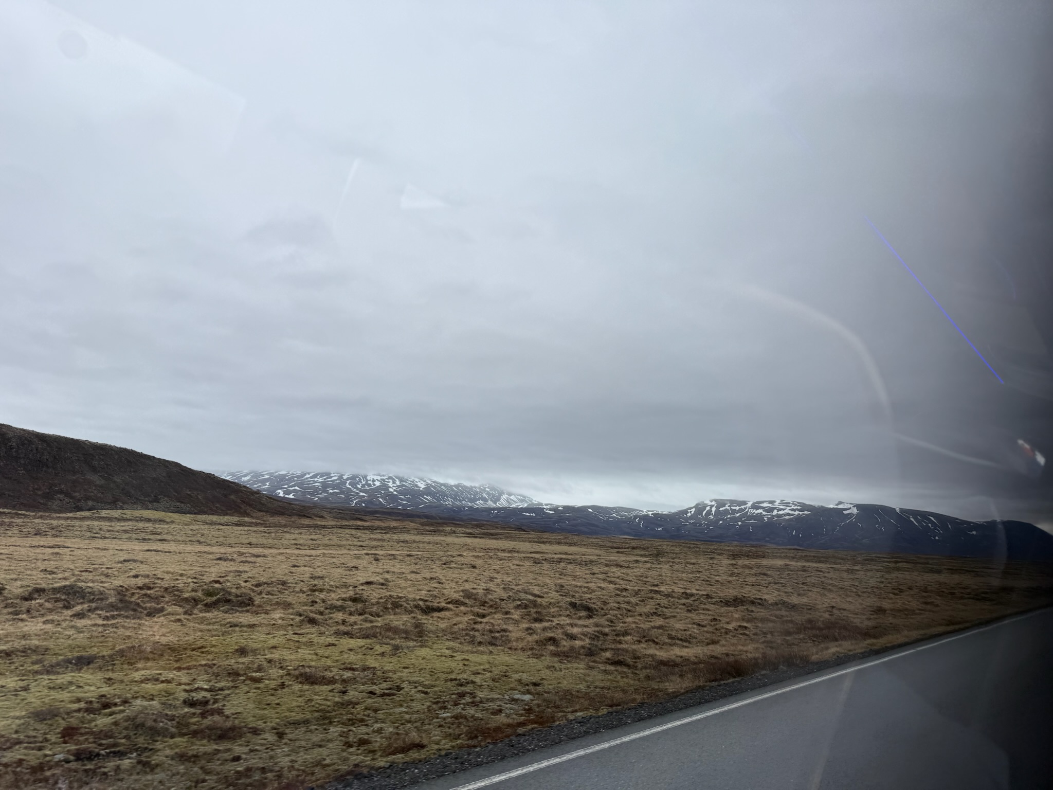
The scenery looked like this for the majority of the drive. It was probably really green later in the spring and in the summer, but now the grass was just beginning to come back to life from winter dormancy.
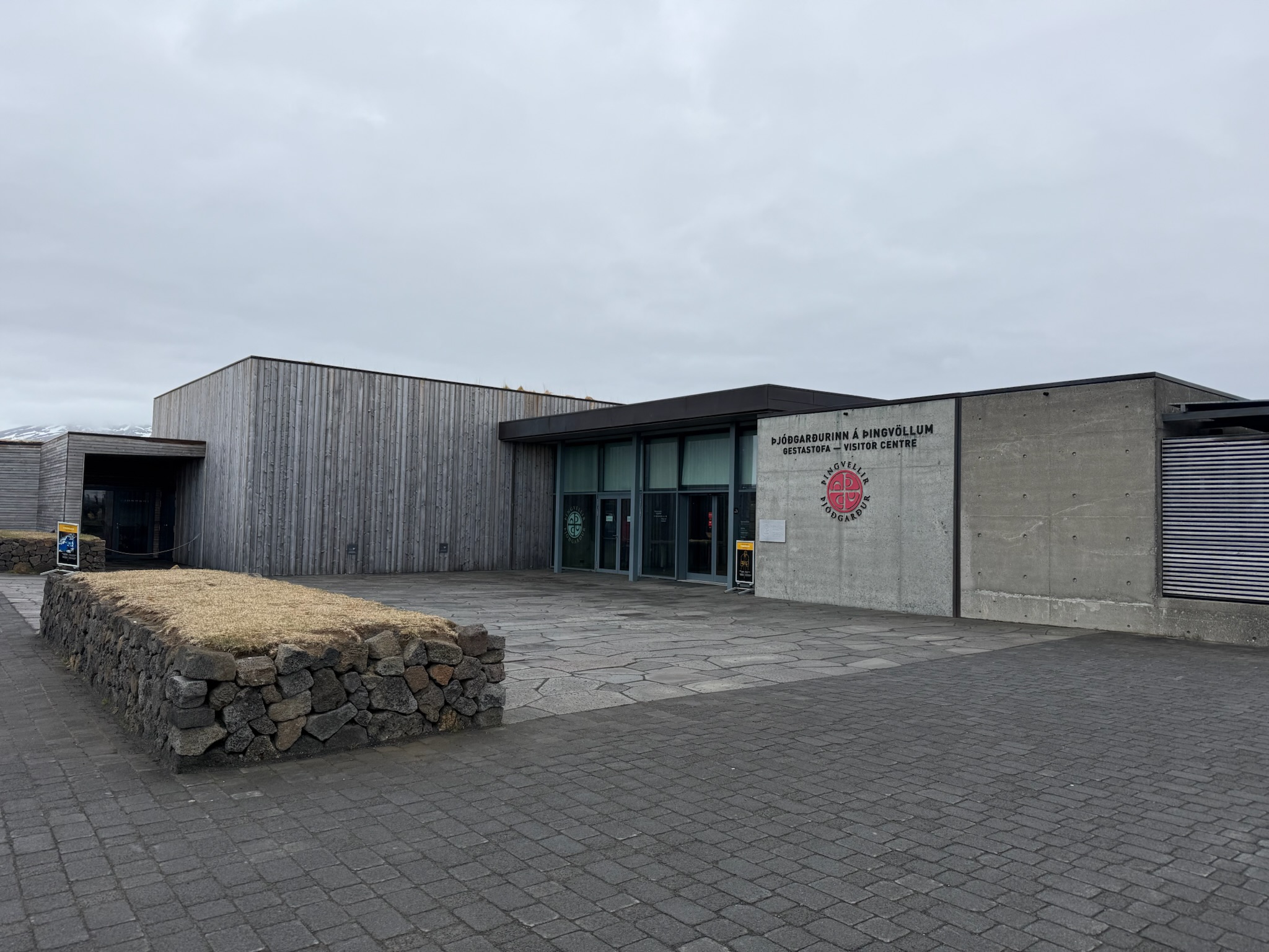
Our first stop was the Visitor’s Center in the Thingvellir National Park. The park was a UNESCO World Heritage site, but we were surprised to find out it attained this honor for its history, not for its unique geology. As we’d read in the Perlan, In 930 AD, early settlers formed a representative-style parliament that met here. While the parliament was eventually moved to Reykjavík, the same parliament government still continues to this day, making Þingvellir the original site of the world’s longest-running continuous parliament. 
Continue reading →

The Lava Show in Reykjavík, Iceland

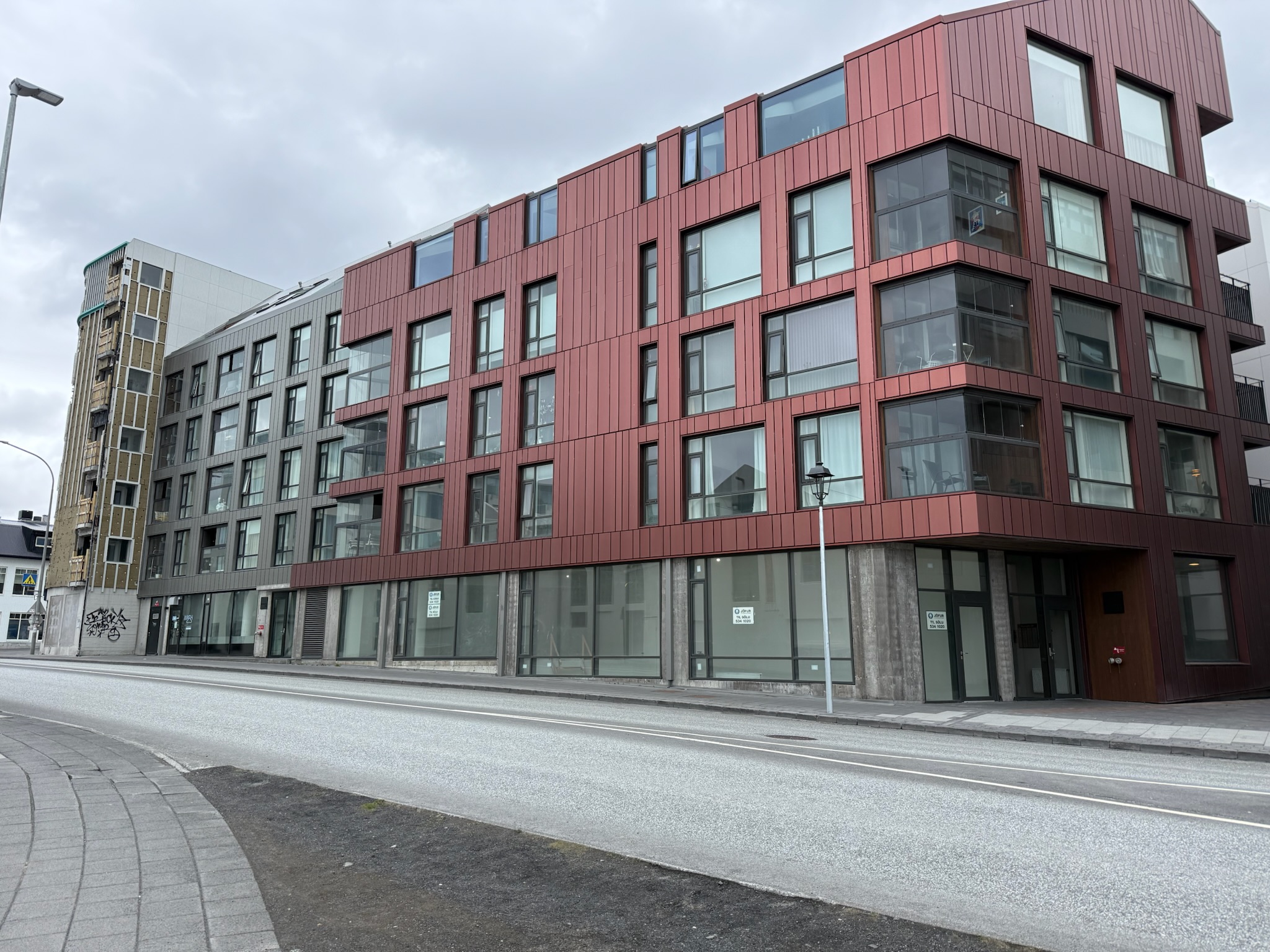
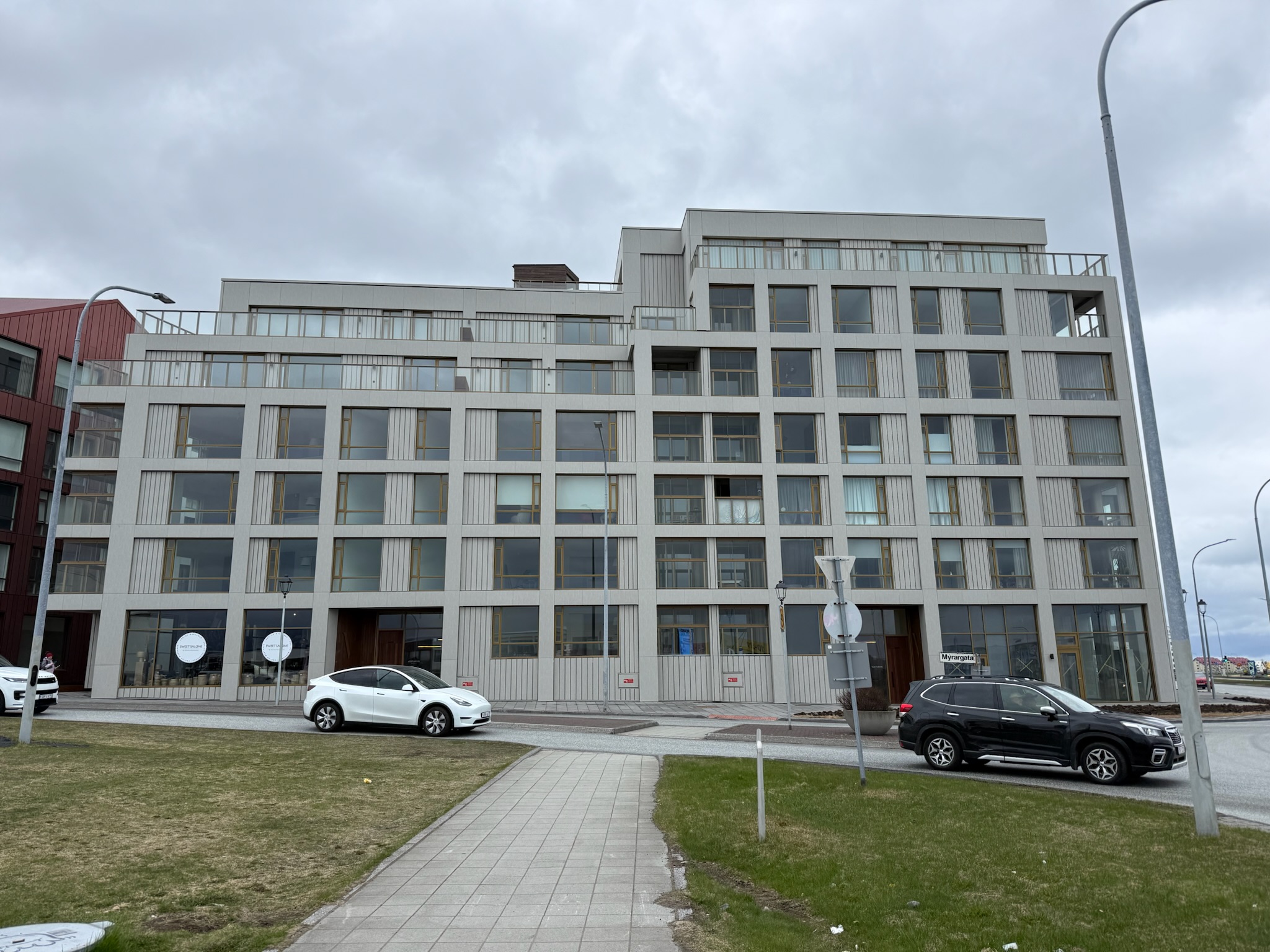
Thursday, May 14 continued… We left the hotel at 1330. The Grandi was on the corner of Myrargata and Seljavegur. The map app directed us to turn northeast on Myrargata, which was a direction we hadn’t yet explored. The taller part of the building at the far left was definitely The Grandi. We weren’t sure if the grey and red buildings with the slanted roofs were a new wing of the Grandi or were different buildings altogether.

The next building over also looked relatively new.

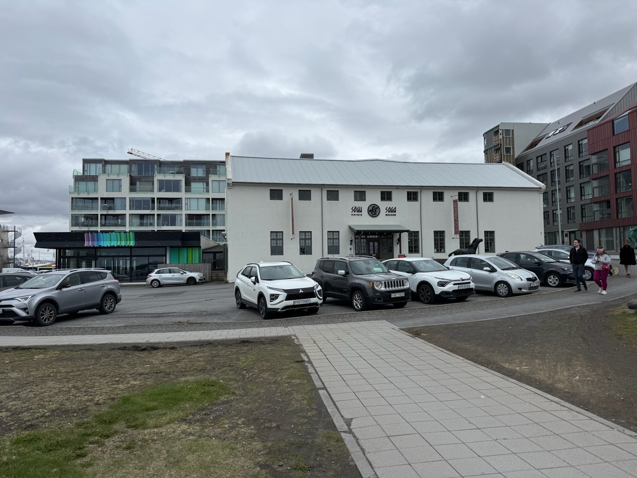
Across the street was the Saga Museum. According to the brochure that Christi had picked up today, it was about early Icelandic history, particularly viking. It was on the to-do list.

Continue reading →

Drive Back to Reykjavík and The Hraunfossar and Barnafass Waterfalls

continued… At the base camp, the tour group got back into the regular bus for the return trip to Reykjavík. They passed an aluminum factory. While Iceland did not have aluminum ore deposits, it did have abundant and inexpensive electricity. And a lot of electricity is what was needed to process aluminum. So they bulk shipped in the ore, processed it, and exported it. Apparently, aluminum refining generated a significant amount of revenue for the country.

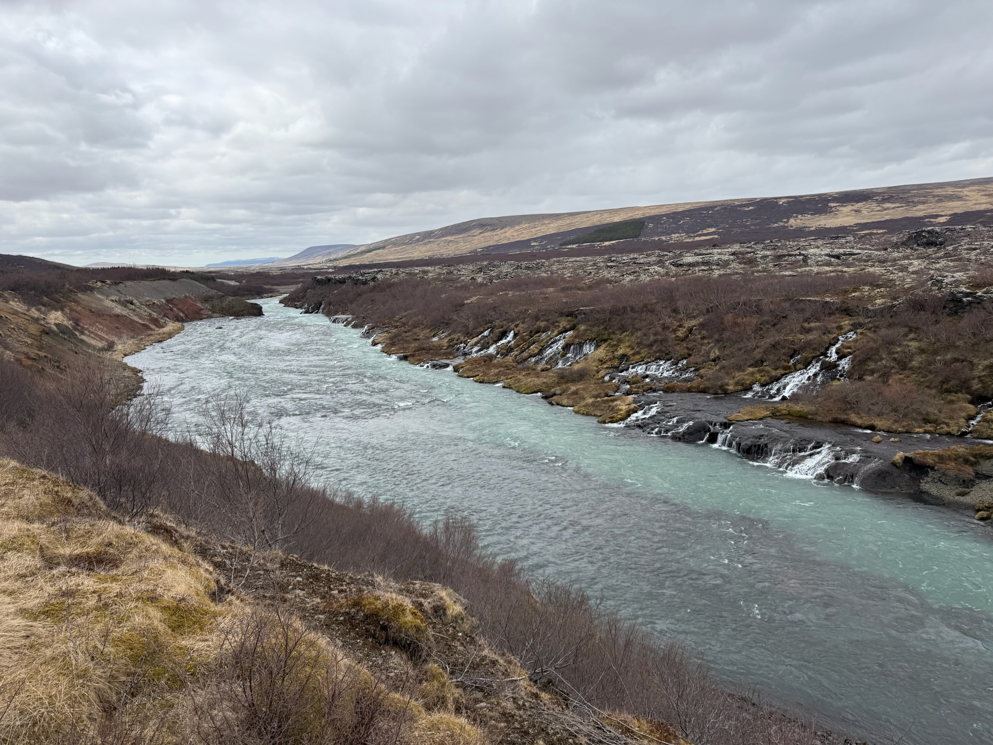
They stopped at the Hraunfossar and Barnafass waterfalls. They weren’t single waterfalls, but a collection running out from under the lava fields. Apparently, the smaller falls were Hraunfossar and the bigger ones above them were Barnafass. Here were some smaller falls (Hraunfossa) by the river leading the bigger falls.

Hraunfossar

The main waterfall area (Barnafass) was beautiful. According to the sign, the name meant “Children’s Waterfall.” The legend behind the name was tragic. According to the story, there used to be an arched bridge made of stone over the river. On Christmas, two of the children who lived nearby skipped church and went to play on the arch, instead. They fell off and drowned. The mother had the arch destroyed.

Barnafass
Continue reading →

The Ice Tunnel Inside Langjökull Glacier, Iceland

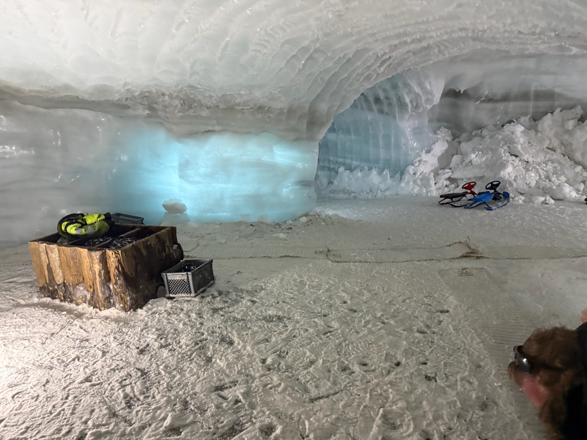
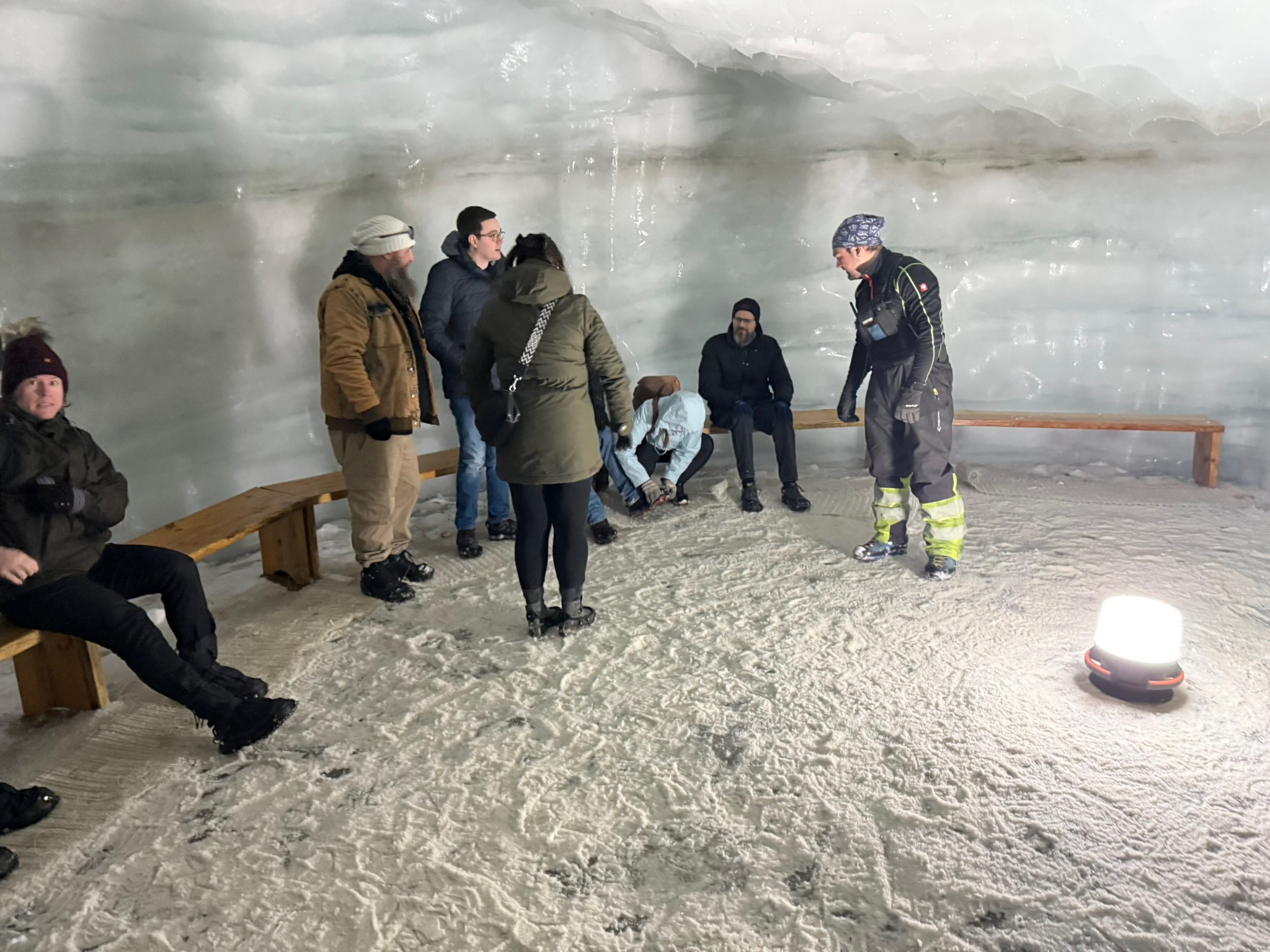
continued… The entrance was small and had a carpeted path to a large room with benches.

The guide said that they’d used the same equipment and crew to make these tunnels as they’d used to make the tunnel under the ocean that they’d driven through on the way to the base of the glacier. These were the longest man-made ice tunnels in the world, and they were created by farmers working to make a tourist attraction. The temperature was just below freezing inside, and apparently stayed relatively consistent year round.

Continue reading →

Hugh Taylor Birch State Park in Ft. Lauderdale, Florida, USA

Thursday, April 2 — It rained hard all morning, but the forecast said it was supposed to stop in the afternoon. By the time Christi and Keith finished school, the rain had mostly stopped. Believing it was going to be clear for the rest of the afternoon, Keith and Christi hopped in the car and drove down to Ft. Lauderdale, which was about an hour drive south, to see Tiki Tour.

Shortly after getting on the freeway, a cloud rolled over that dropped rain so hard that there was no visibility. Maps re-routed us off the freeway, so we figured there must have been an accident ahead. The detour took us a couple of miles south before routing us back onto the freeway. The street route had many traffic lights, and it took a solid half-hour to drive those two miles. By the time we were back on the freeway, the rain had stopped and the freeway was clear.

Tiki Tour was anchored in the ICW near a bridge. Unfortunately, Christi was confused about which bridge and went to a spot about a mile away. After a bit of texting back and forth with Tiki about not seeing their boat, Tiki figured out we were in the wrong place. All in all, by the time we finally arrived at the correct bridge, the one hour drive had turned into a two hour drive.

While there had been heavy rain North Palm Beach, it hadn’t really rained in Ft. Lauderdale this morning, and no rain was in the forecast for the afternoon. Christi, Diane, Keith and Fynn went to the Hugh Taylor Beach State Park, located on the barrier island between the ICW and the beach. The entrance fee was $6 per vehicle or $2 per person if entering by foot, so it was actually cheaper for the four of us to take the car in than it would have been to walk in.

Per the map/brochure they gave us, the road did a one-way loop around the 180-acre park, with parking lots interspersed along the loop. We found a parking spot and began to explore on foot. Per the blurb on the brochure, the Tequesta Indians utilized this land during their annual migrations, but generally moved on quickly. The first permanent settlement in Ft. Lauderdale was the fort, which was built for the Second Seminole War, and was located about 2-miles south of the park. It sounded like Hugh Taylor Birch was one the earliest non-military residents in the area. In 1893, he started purchasing land in what is now part of the city of Ft. Lauderdale. Upon his death in 1943, he donated this piece of land to the city to be used to preserve a natural, wild area for the protection of wildlife. It was a surreal little rural oasis in the middle of the dense and bustling city.

The diversity of the park was surprising. On the south side was the ICW, with a sea wall and dock that offered great views of the nearby expensive waterfront homes.

There were quite a few walking trails. This one paralleled the road.

And several trails went through the center. Most of the trails we walked were quite different from one another.

Continue reading →