Dyrhólaey Natural Reserve and the Drive Back to Reykjavík, Iceland

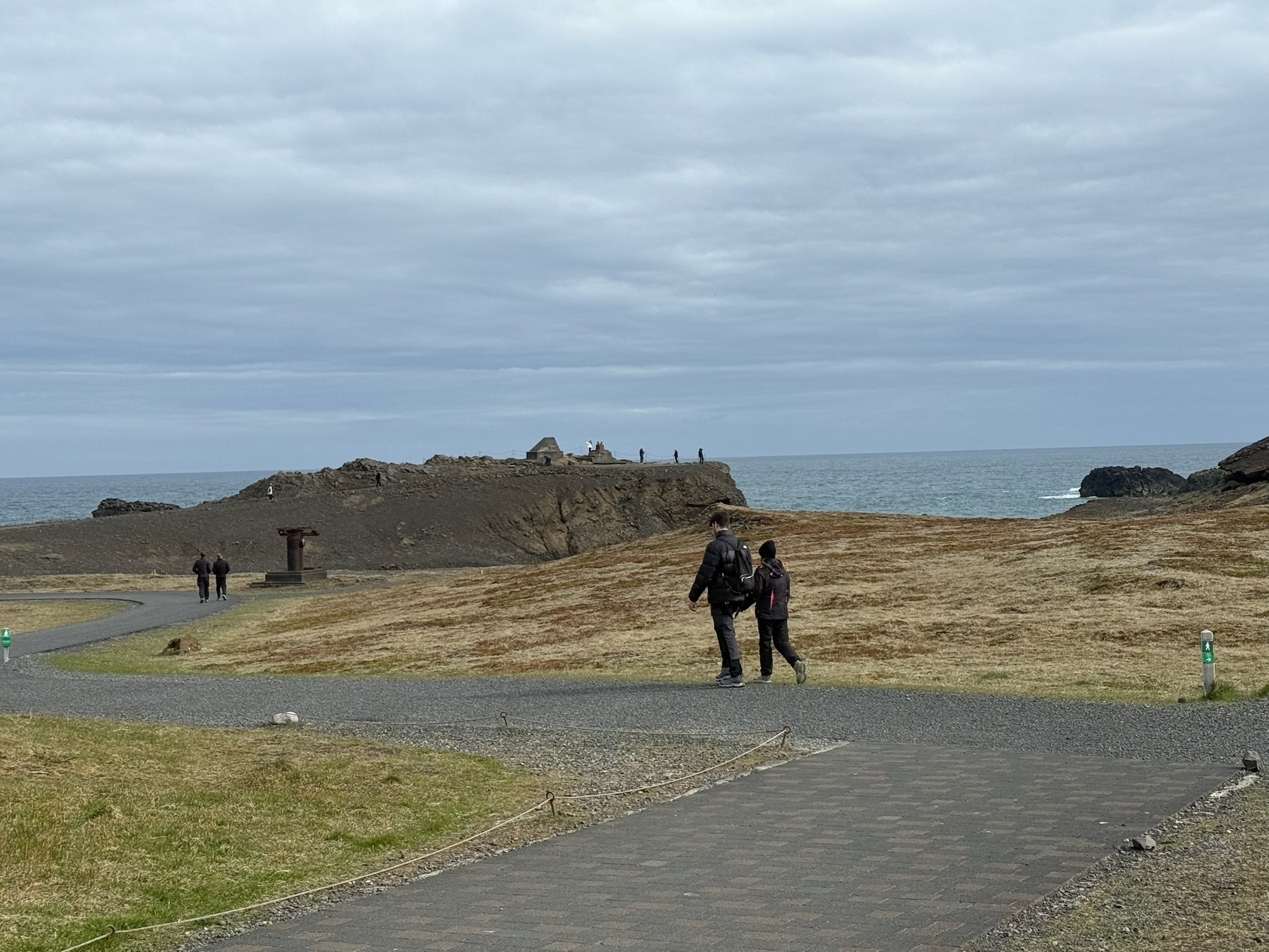
continued… We walked down the path towards the ocean.
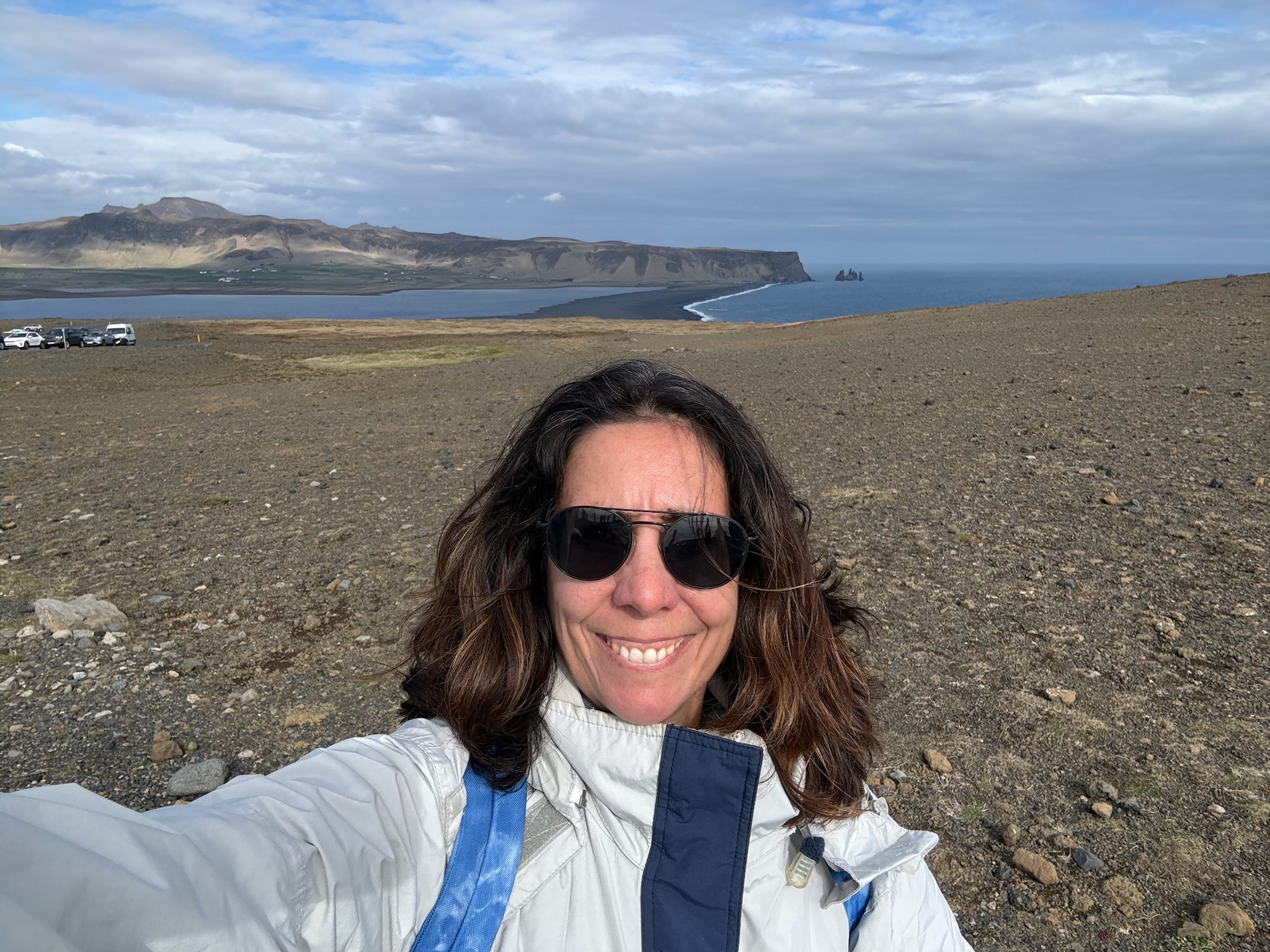
According to the sign, Dyrhólaey was believed to have formed 80,000 years ago in a submarine eruption, and was originally a separate island. Over the millennia, the sea level has reduced. The lowering sea level exposed the land between the Dyrhólaey and the main land, so now it was a promontory (we had to look that word up, too. It meant a high ridge of land or rock jutting out into a body of water). It was 120-meters tall. Here was a shot of the ridge of silt built up in the water. Note the line of cars on the left that were waiting for someone to leave so they could enter the parking lot.
Continue reading →

The Secret Waterfall Part 2 and The Drive to Dyrhólaey, Iceland

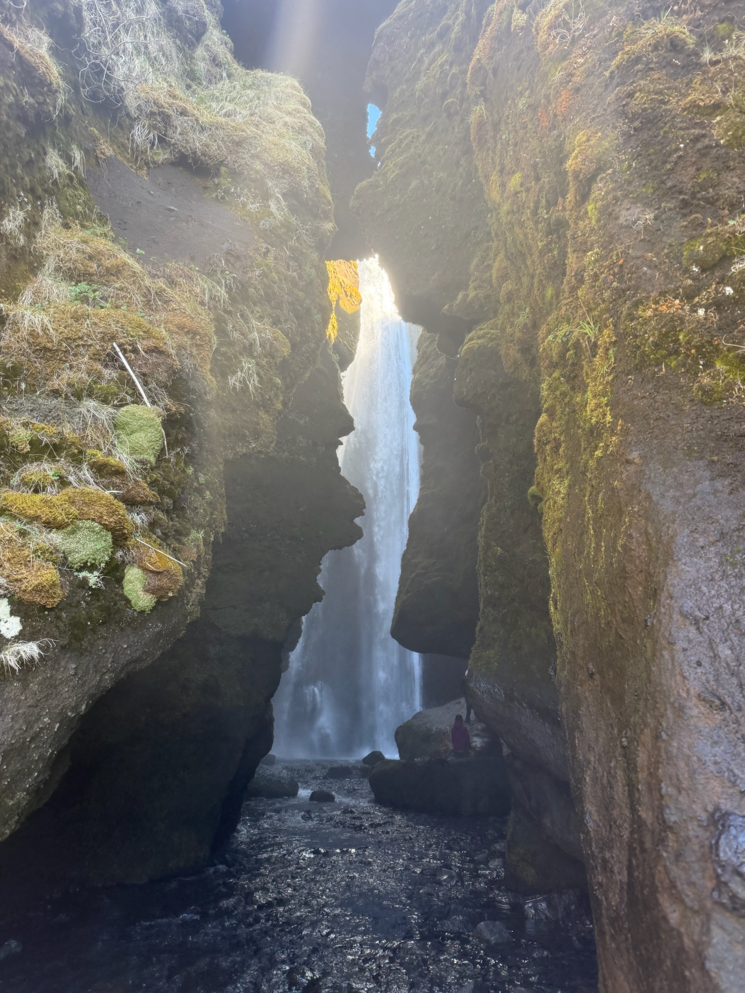
Monday, May 18 continued… At first, it looked like there was no way to get close to this fall, either. As the path wound around, we saw the waterfall through a crack in the cliff face.

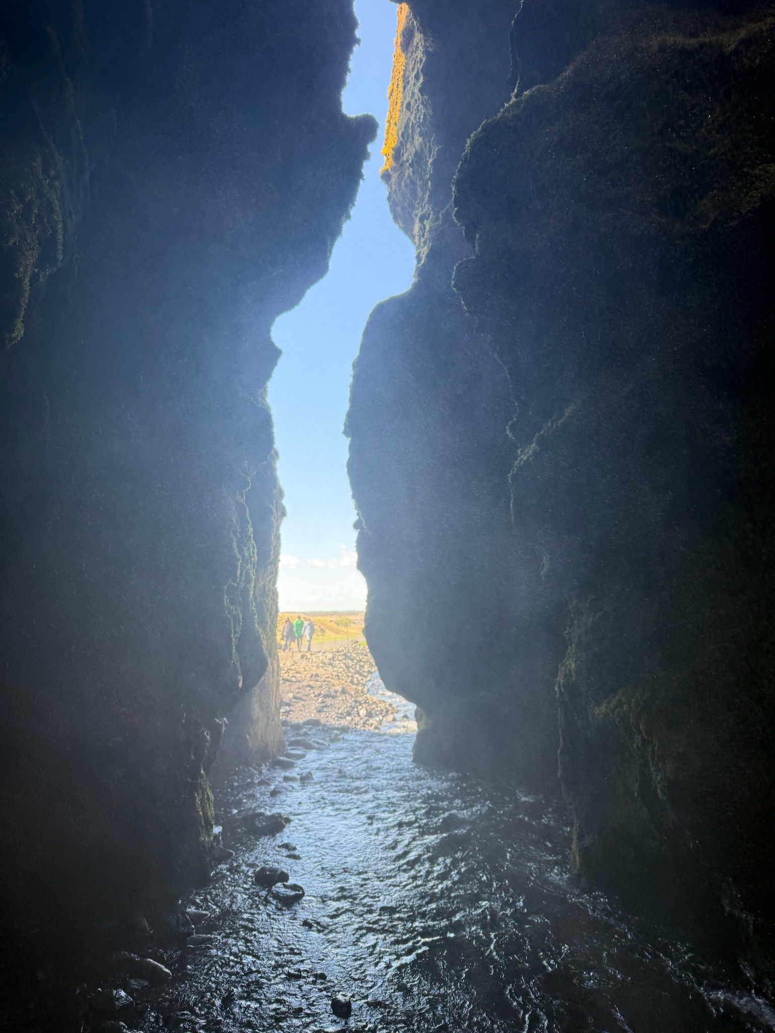
We noticed people were walking into the crack, despite the fact that the ground was covered in water. So we followed. While there were deeper spots where one would get their ankles wet, most of the water was so shallow that it barely covered the ground — but we did have to watch where we stepped. Sadly, Christi did make one misstep and one of her feet was drenched. Here was a shot looking back at the path from inside.

We found ourselves in a little cave, of sorts. A hawng was actually a more accurate description. We were surprised to see that the waterfall dropped into a gap in the top of the rock at the back of the cave.

Continue reading →